Elevation of FJÄLLSJÖNÄS, 70 Sorsele, Sweden
Location: Sweden > Västerbotten County > Sorsele Nv >
Longitude: 16.7688015
Latitude: 65.6587496
Elevation: 559m / 1834feet
Barometric Pressure: 95KPa
Elevation Map:
Satellite Map:
Related Photos:
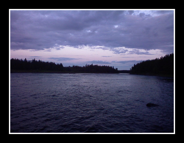
skandidavie_2009_07_12_22_51_48_580
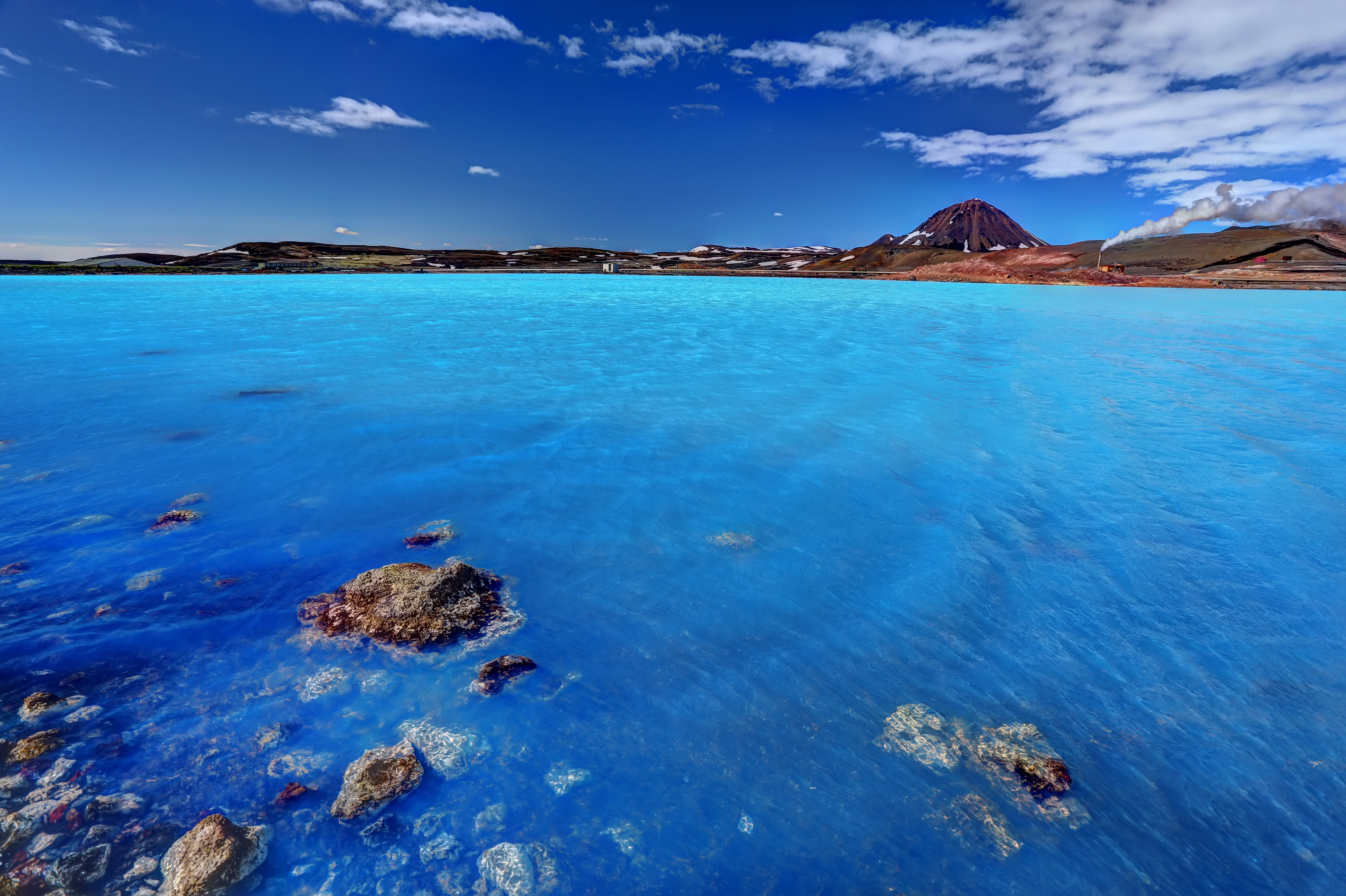
The azure lake

Geothermal area of Hverir

Boiling mudpools

Per-olof sjöberg
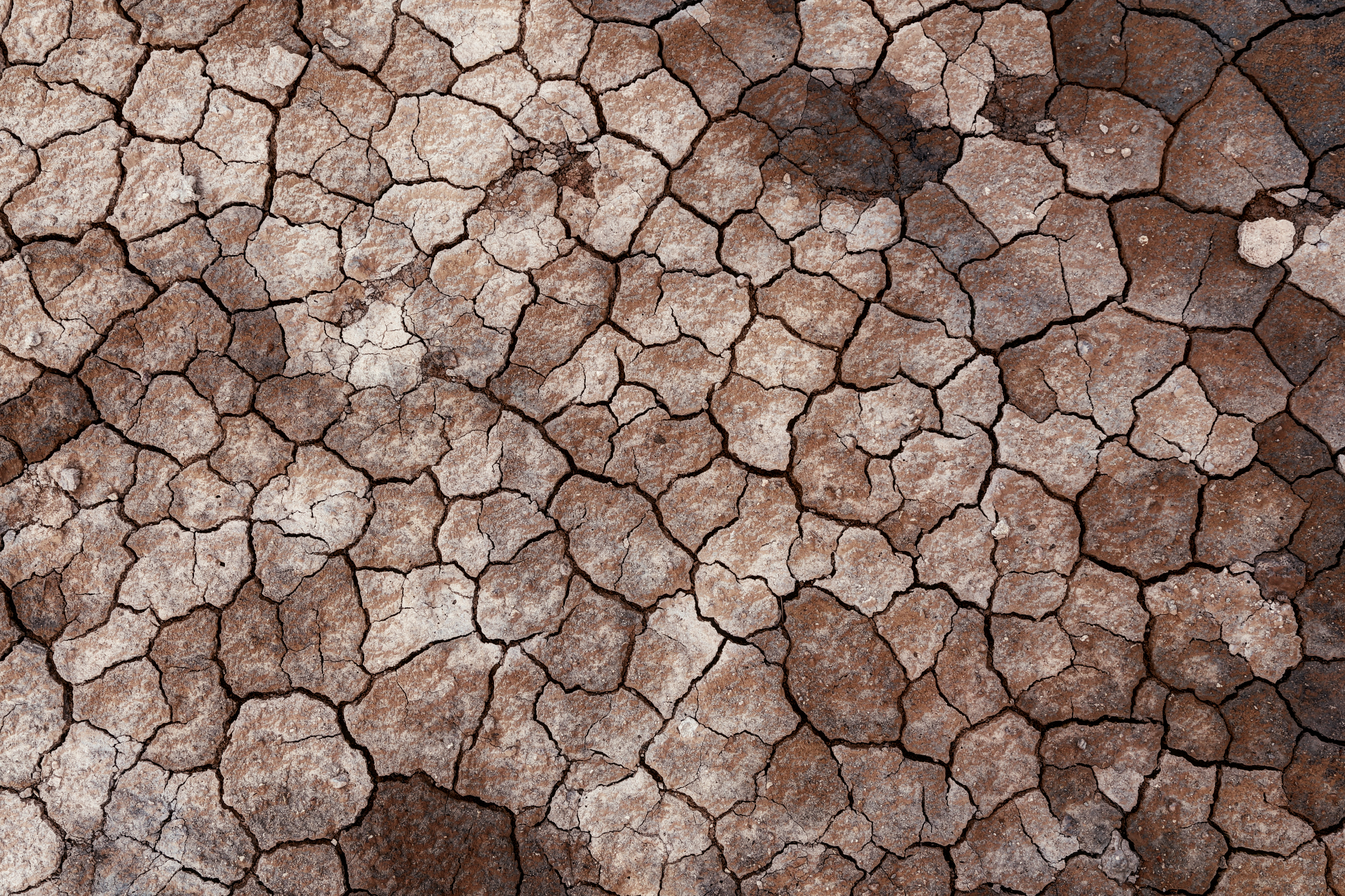
Dry soil

The world outside
Topographic Map of FJÄLLSJÖNÄS, 70 Sorsele, Sweden
Find elevation by address:

Places near FJÄLLSJÖNÄS, 70 Sorsele, Sweden:
FJÄLLSJÖNÄS, 70 Sorsele, Sweden
Västerbotten County
Sorsele Nv
Storuman C
Ammarnäs
Myrvägen 8, 70 Sorsele, Sweden
Storuman
BRÄNNÅKER 8, 99 Vilhelmina, Sweden
Bergland
Bergland 29, 99 Vilhelmina, Sweden
Dikanäsvägen 41, 94 Dikanäs, Sweden
Vilhelmina V
Recent Searches:
- Elevation of Zu den Ihlowbergen, Althüttendorf, Germany
- Elevation of Badaber, Peshawar, Khyber Pakhtunkhwa, Pakistan
- Elevation of SE Heron Loop, Lincoln City, OR, USA
- Elevation of Slanický ostrov, 01 Námestovo, Slovakia
- Elevation of Spaceport America, Co Rd A, Truth or Consequences, NM, USA
- Elevation of Warwick, RI, USA
- Elevation of Fern Rd, Whitmore, CA, USA
- Elevation of 62 Abbey St, Marshfield, MA, USA
- Elevation of Fernwood, Bradenton, FL, USA
- Elevation of Felindre, Swansea SA5 7LU, UK