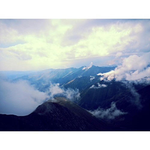
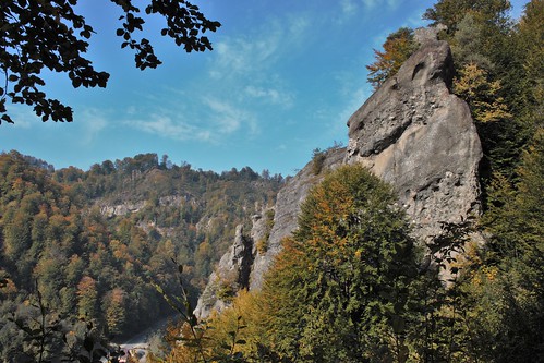
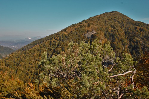
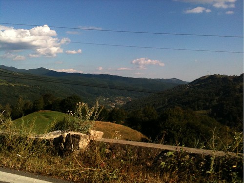
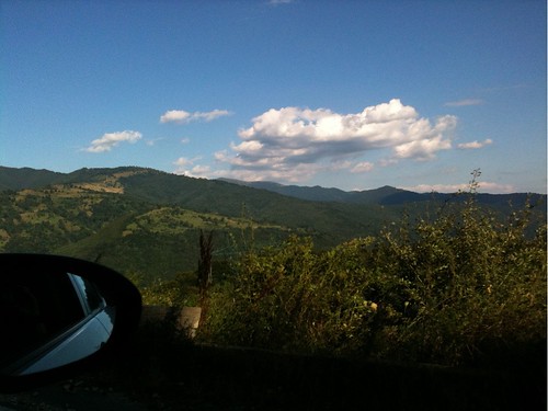
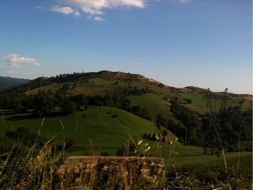
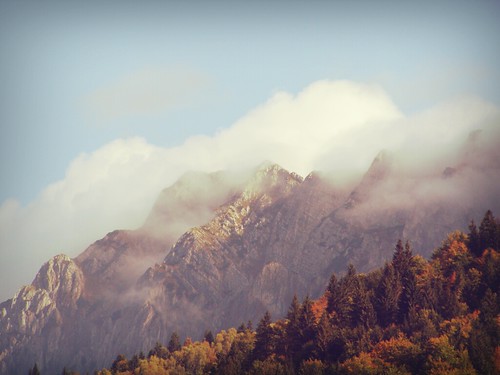
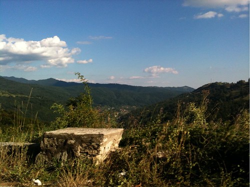
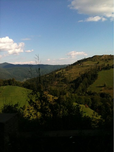
Elevation of Stoenesti, Romania
Location: Romania > Argeș County >
Longitude: 25.2273979
Latitude: 45.264665
Elevation: 1015m / 3330feet
Barometric Pressure: 90KPa
Related Photos:
Topographic Map of Stoenesti, Romania
Find elevation by address:

Places in Stoenesti, Romania:
Places near Stoenesti, Romania:
Piatra
Dragoslavele
Dragoslavele
Nămăești
Valea Mare - Pravat
Boteni
Boteni
Campulung
Lerești
Câmpulung
Fundata
Pasul Bran
Cheile Grădiștei
Albești
Moieciu
Cândești
Piatra Craiului Mountains
Oțelu
Leresti
Berevoesti
Recent Searches:
- Elevation of Shibuya Scramble Crossing, 21 Udagawacho, Shibuya City, Tokyo -, Japan
- Elevation of Jadagoniai, Kaunas District Municipality, Lithuania
- Elevation of Pagonija rock, Kranto 7-oji g. 8"N, Kaunas, Lithuania
- Elevation of Co Rd 87, Jamestown, CO, USA
- Elevation of Tenjo, Cundinamarca, Colombia
- Elevation of Côte-des-Neiges, Montreal, QC H4A 3J6, Canada
- Elevation of Bobcat Dr, Helena, MT, USA
- Elevation of Zu den Ihlowbergen, Althüttendorf, Germany
- Elevation of Badaber, Peshawar, Khyber Pakhtunkhwa, Pakistan
- Elevation of SE Heron Loop, Lincoln City, OR, USA
