Elevation of Cândești, Romania
Location: Romania > Argeș County > Albestii De Muscel >
Longitude: 24.9683288
Latitude: 45.3240855
Elevation: 686m / 2251feet
Barometric Pressure: 93KPa
Elevation Map:
Satellite Map:
Related Photos:

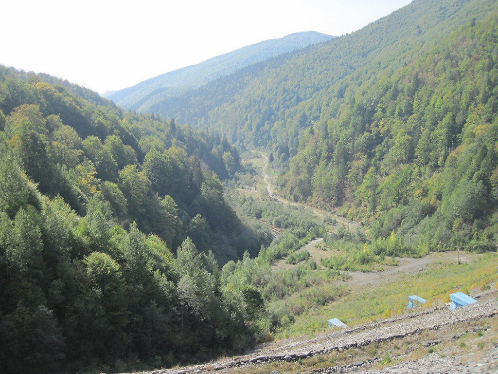
Shattered View on Slatina
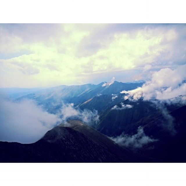
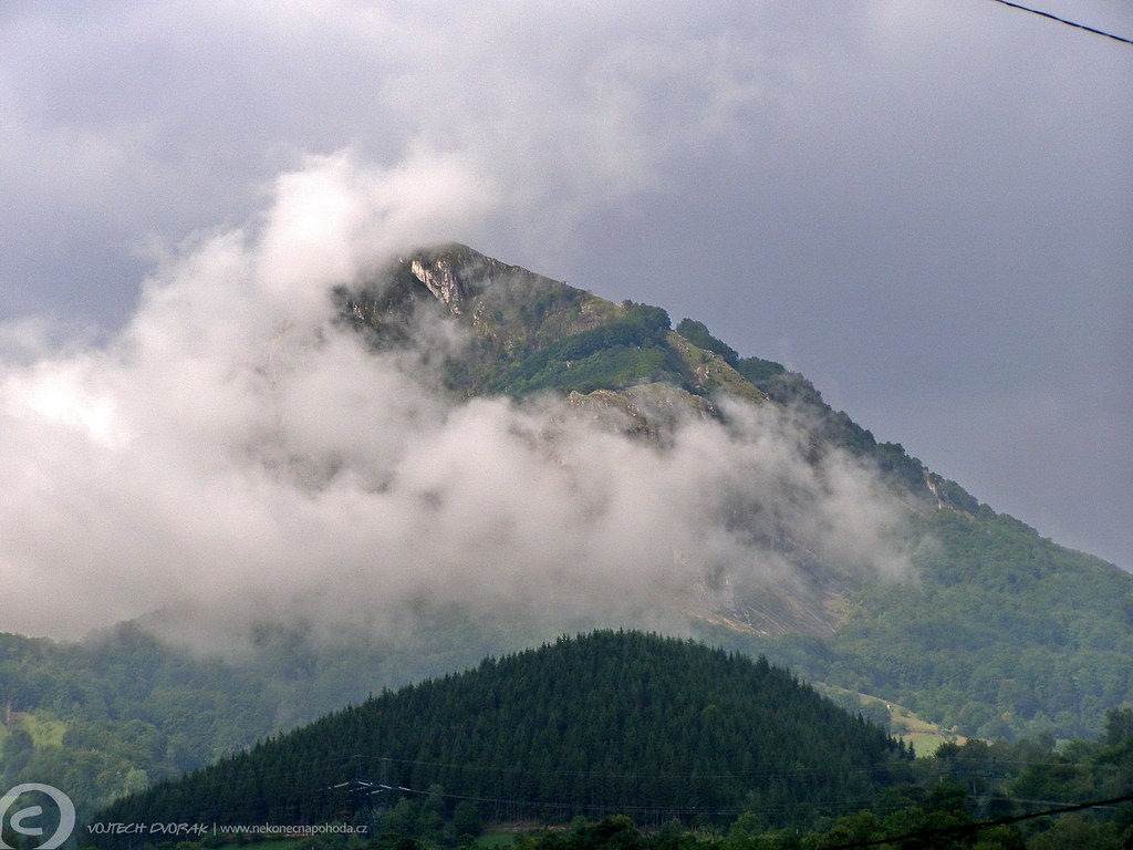
View of a god! #ig_romania #mountains #peak #clouds #sky #perspective #photooftheday #climbing #traveling #instagood
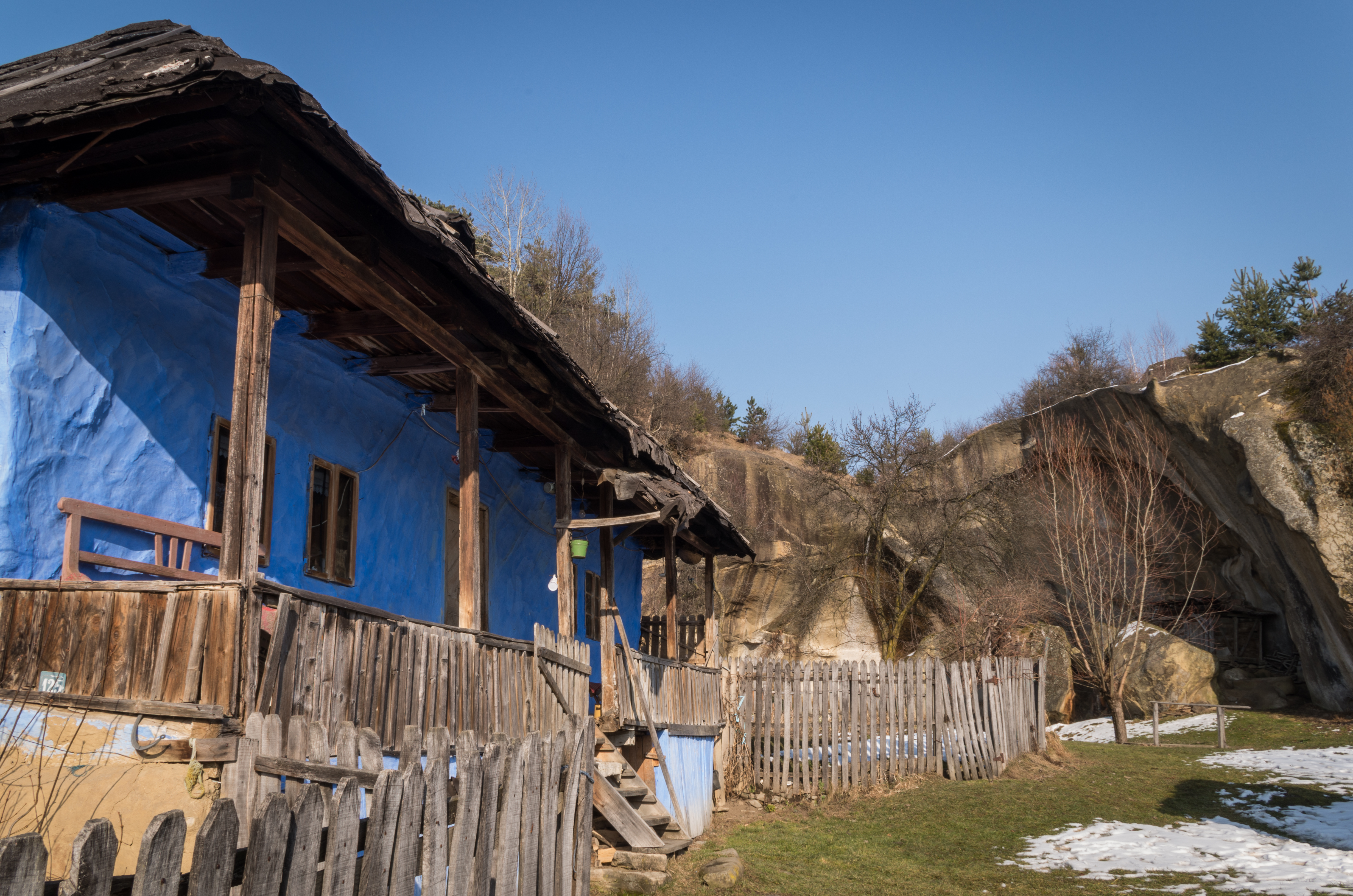
Old house with a view
One favourite view

just a little bit fun with hugin&RawTherapee
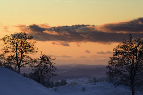
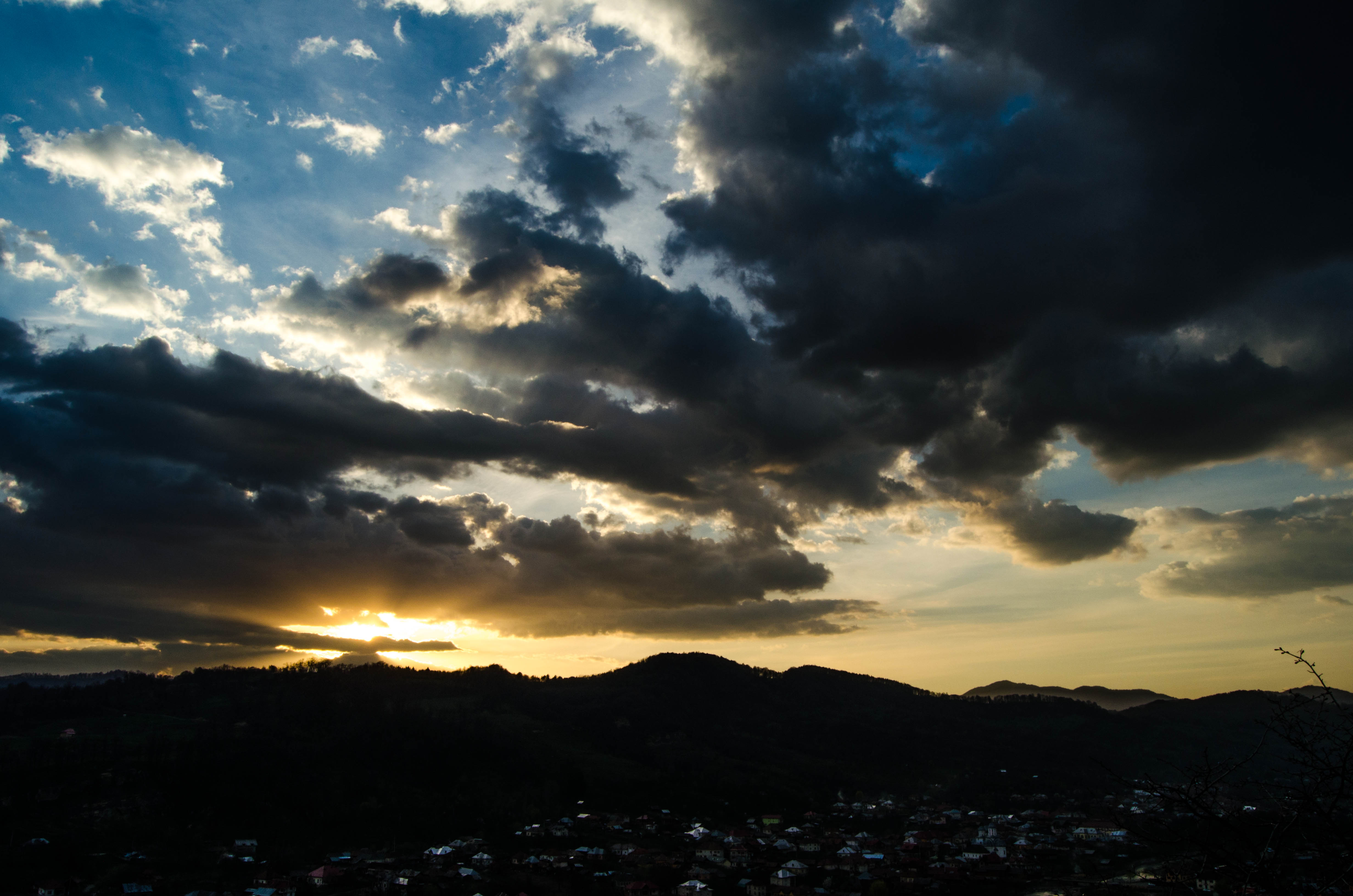
Sunset @ Countryside
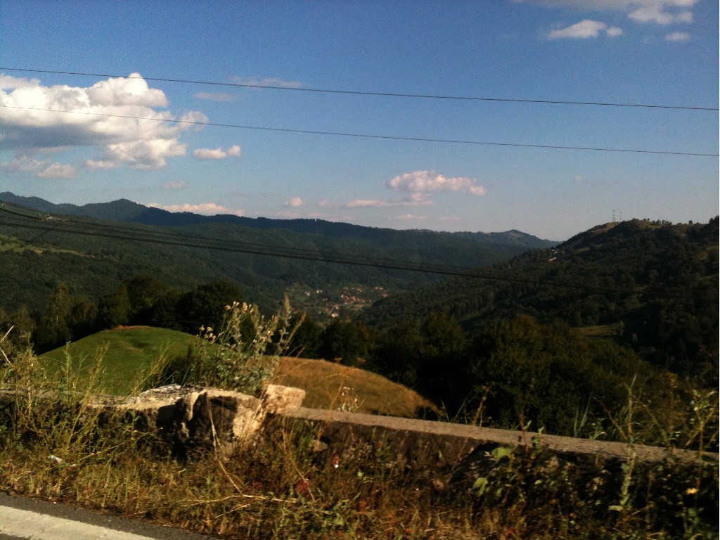
Photo Library-76
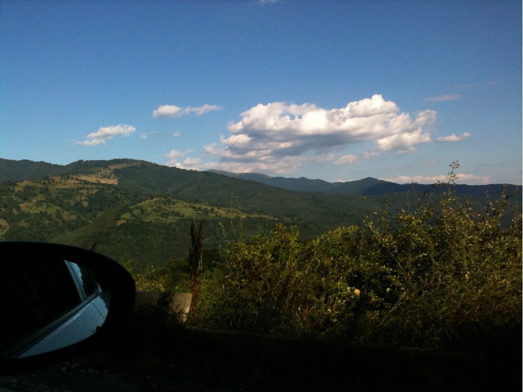
Photo Library-69
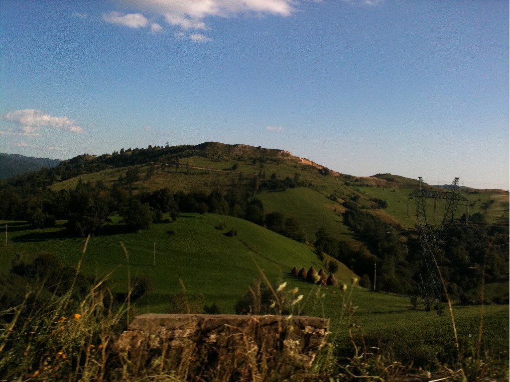
Photo Library-71
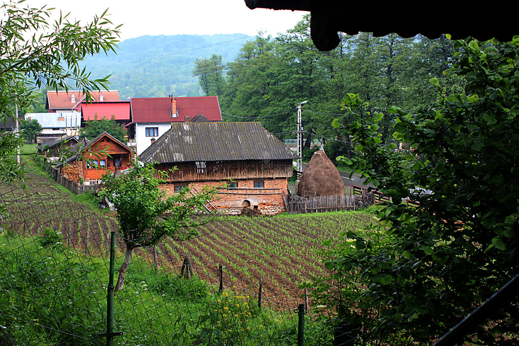
Romanian Countryside
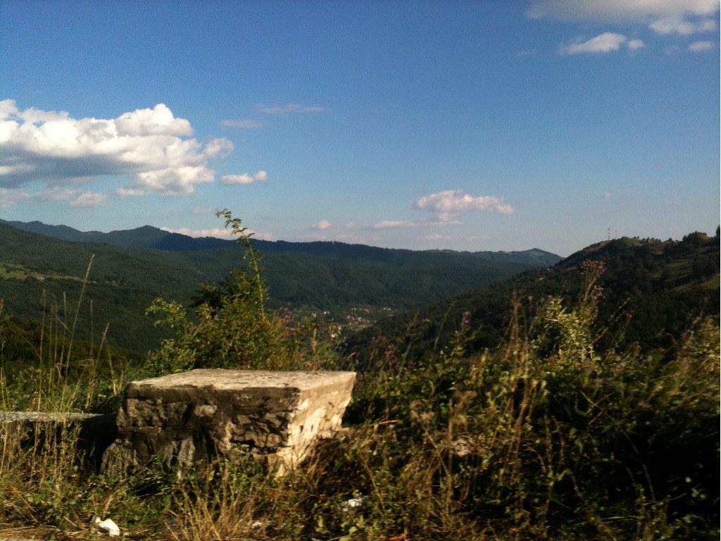
Photo Library-75
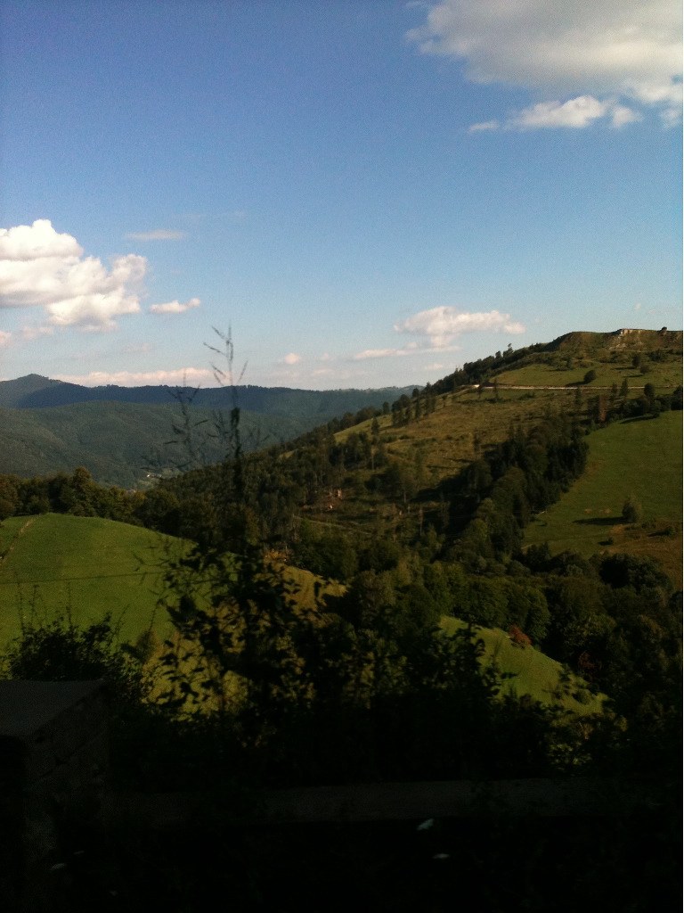
Photo Library-68
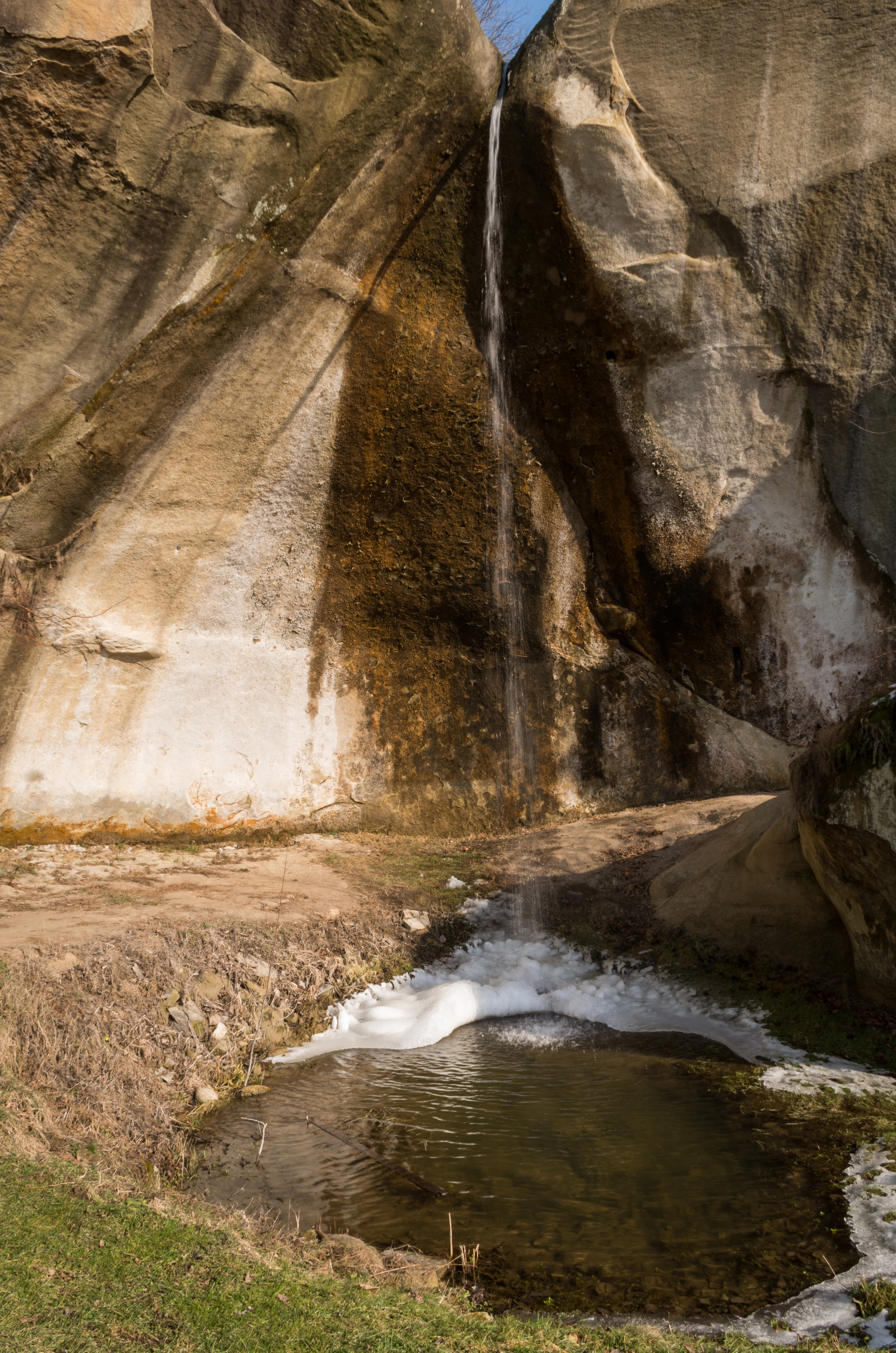
Backyard waterfall
Romanian Countryside

Comin'
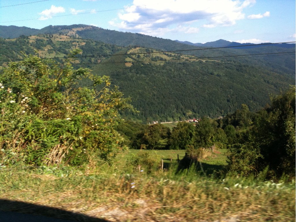
Photo Library-79
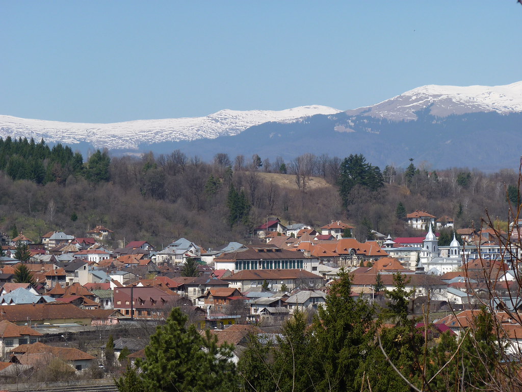
West of Schei (near Bughea de Jos), Campulung Muscel, Romania
South of Valea Hotarului (near Rucăr), Romania

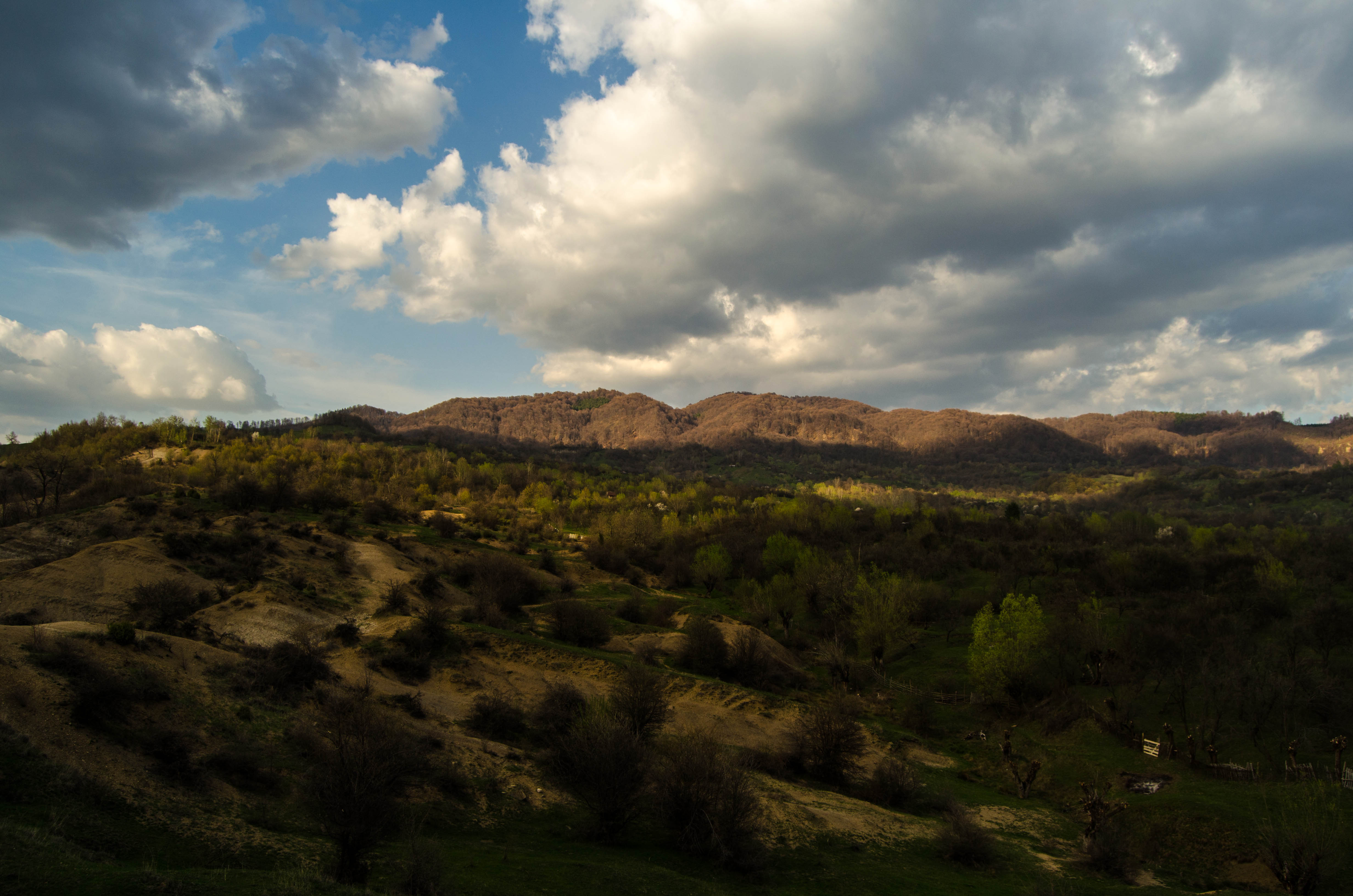
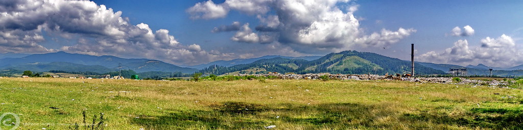
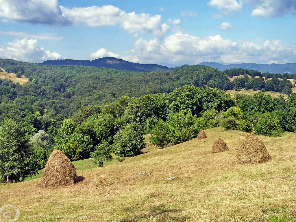
Romanian Countryside
Picture 013
vedere de pe Flamanda
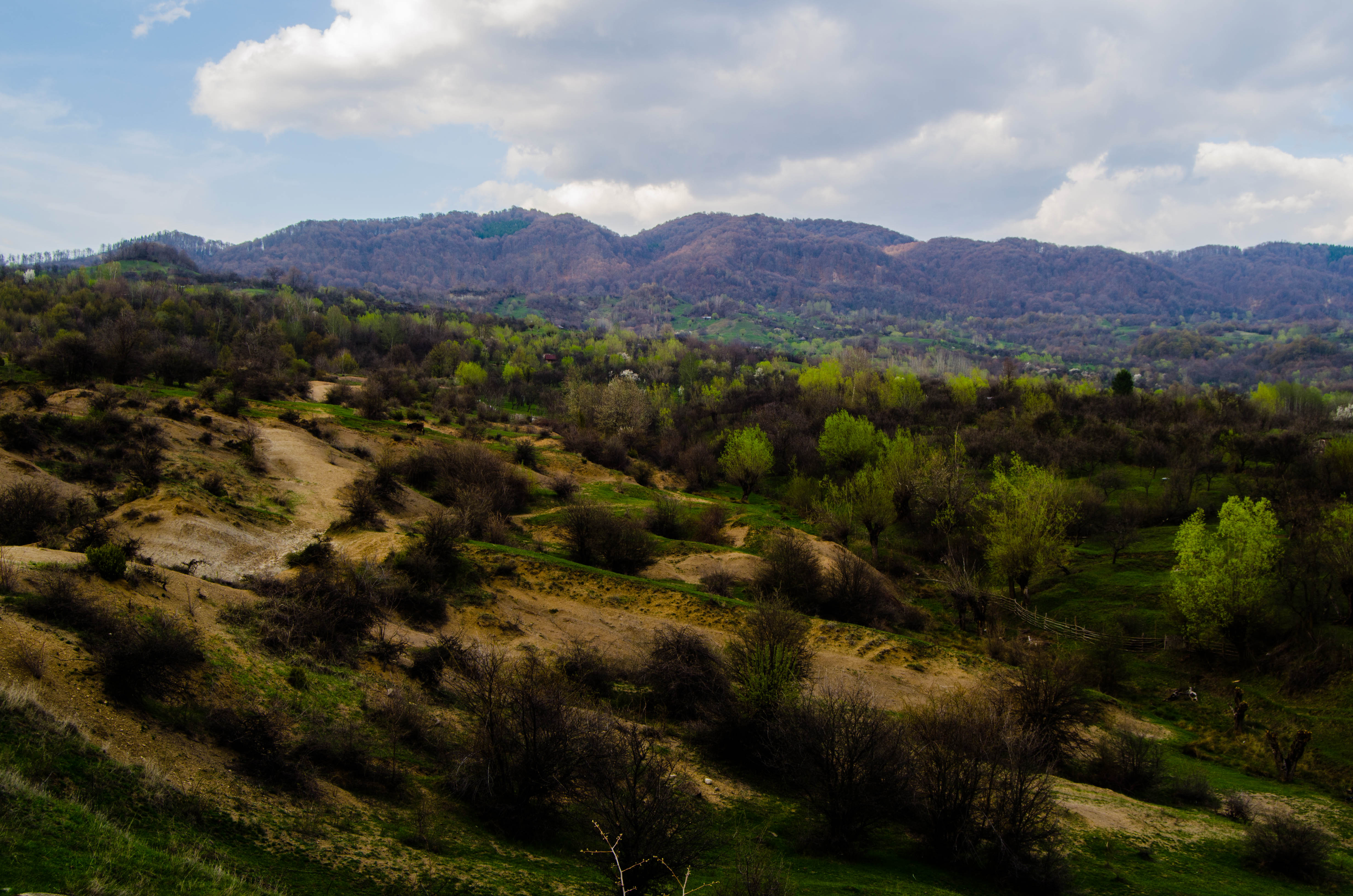
Romanian Countryside
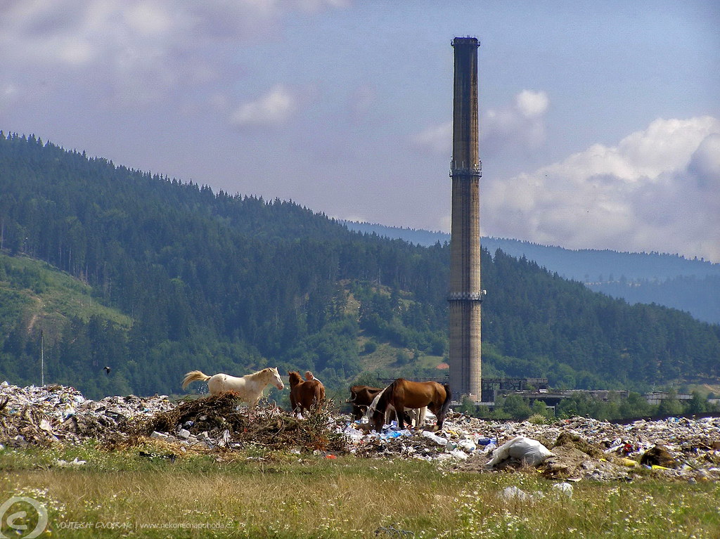
'Wild horses'... West of Schei (near Bughea de Jos), Campulung Muscel, Măgura, Romania
Southwest of Slănic (near Pietroşani), Romania
Topographic Map of Cândești, Romania
Find elevation by address:

Places near Cândești, Romania:
Albești
Albestii De Muscel
Oțelu
Berevoesti
Gămăcești
Campulung
Câmpulung
Lerești
Leresti
Corbi
Valea Mare - Pravat
Nămăești
Sboghițești
Jgheaburi
Corbi
Slatina
Vladesti
Vlădești
Piatra
Cosaci
Recent Searches:
- Elevation of Fernwood, Bradenton, FL, USA
- Elevation of Felindre, Swansea SA5 7LU, UK
- Elevation of Leyte Industrial Development Estate, Isabel, Leyte, Philippines
- Elevation of W Granada St, Tampa, FL, USA
- Elevation of Pykes Down, Ivybridge PL21 0BY, UK
- Elevation of Jalan Senandin, Lutong, Miri, Sarawak, Malaysia
- Elevation of Bilohirs'k
- Elevation of 30 Oak Lawn Dr, Barkhamsted, CT, USA
- Elevation of Luther Road, Luther Rd, Auburn, CA, USA
- Elevation of Unnamed Road, Respublika Severnaya Osetiya — Alaniya, Russia