Elevation of Nămăești, Romania
Location: Romania > Argeș County > Valea Mare - Pravat >
Longitude: 25.1161414
Latitude: 45.30767
Elevation: 745m / 2444feet
Barometric Pressure: 93KPa
Elevation Map:
Satellite Map:
Related Photos:
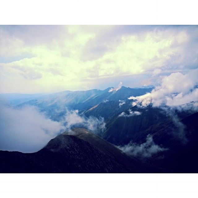
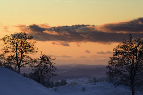
View of a god! #ig_romania #mountains #peak #clouds #sky #perspective #photooftheday #climbing #traveling #instagood
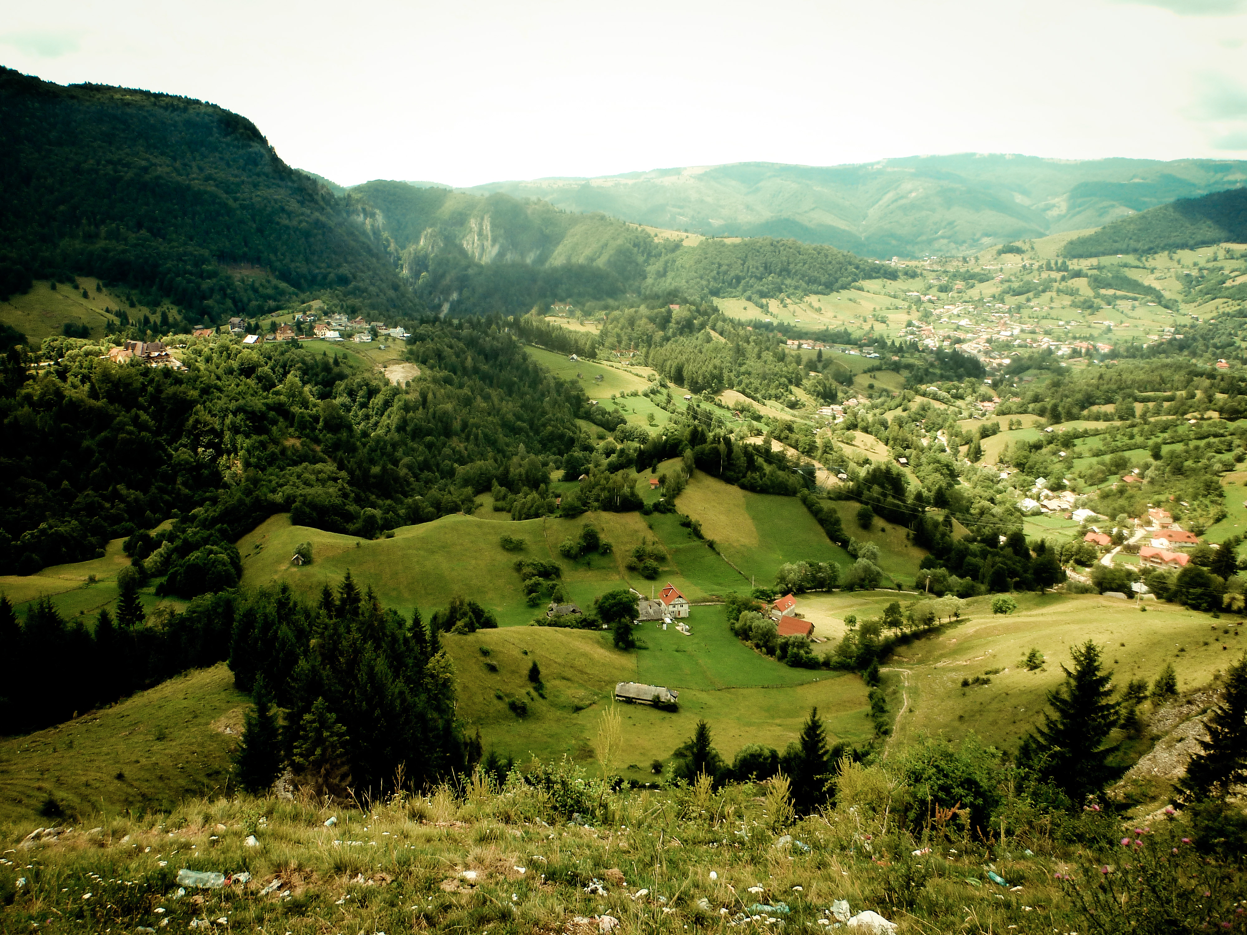
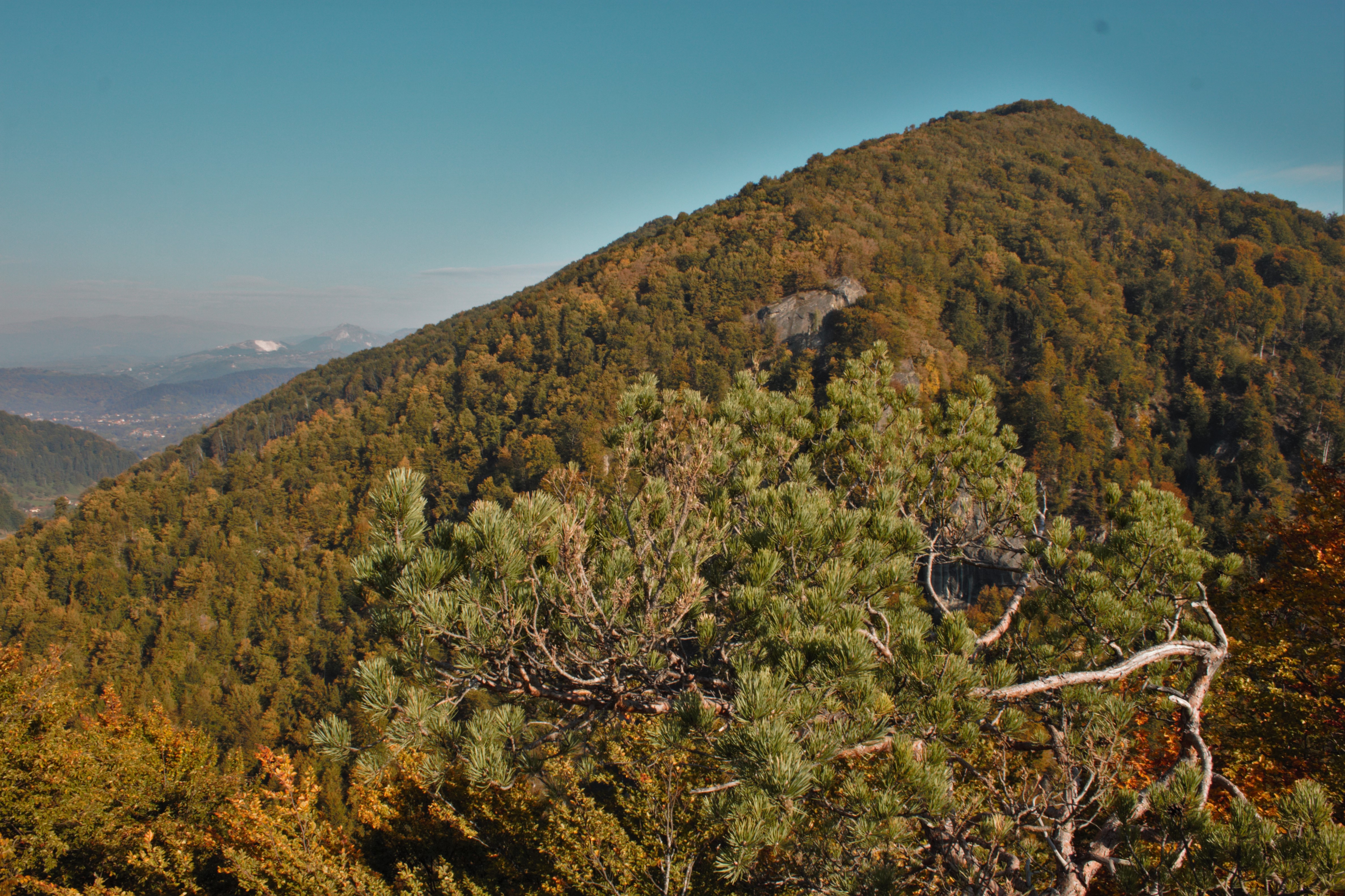
Views like this are common along the DN73 - Romania
Rucar - Romania

Cetățeni, Argeș
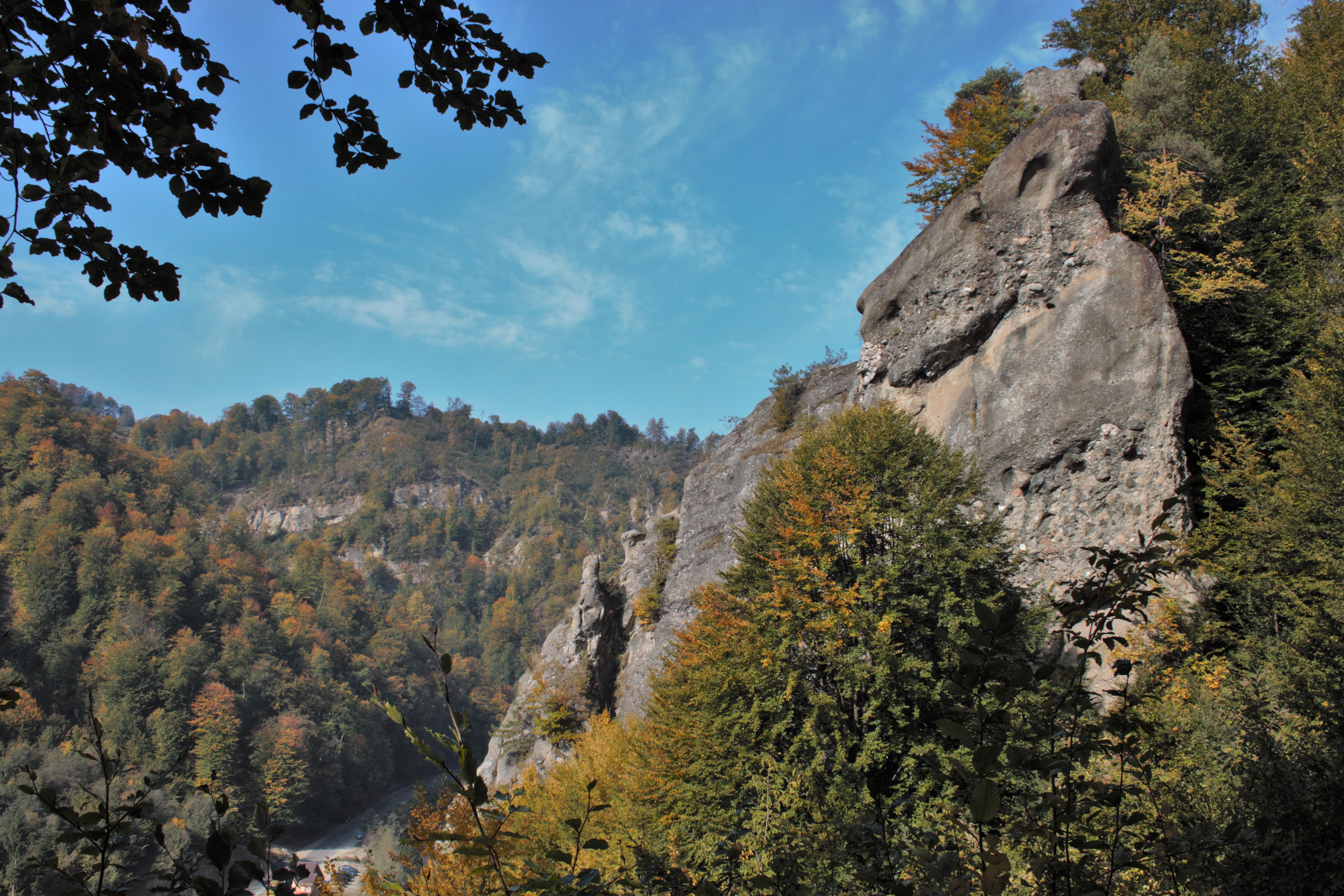
Colți de piatră lîngă mânăstirea Cetățuia, Argeș

just a little bit fun with hugin&RawTherapee
Sunset @ Countryside
Mountains Cetatuia
Photo Library-76
Photo Library-69
PAN_Podu Dambovitei
Photo Library-71

Golden heights
#mountin #forest #summer #paradise
Photo Library-75
Photo Library-68

Comin'
Water path ... Land path ...
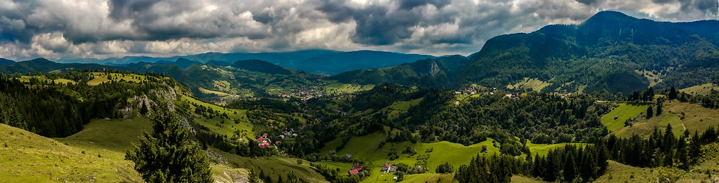
Piatra Craiului full pano
Dambovita Gorge

Culoarul Rucăr-Bran / Törcsvári-hágó
Topographic Map of Nămăești, Romania
Find elevation by address:

Places near Nămăești, Romania:
Valea Mare - Pravat
Piatra
Lerești
Dragoslavele
Campulung
Câmpulung
Albești
Boteni
Stoenesti
Dragoslavele
Boteni
Cândești
Oțelu
Leresti
Albestii De Muscel
Berevoesti
Gămăcești
Păpușa
Pasul Bran
Fundata
Recent Searches:
- Elevation of Co Rd 87, Jamestown, CO, USA
- Elevation of Tenjo, Cundinamarca, Colombia
- Elevation of Côte-des-Neiges, Montreal, QC H4A 3J6, Canada
- Elevation of Bobcat Dr, Helena, MT, USA
- Elevation of Zu den Ihlowbergen, Althüttendorf, Germany
- Elevation of Badaber, Peshawar, Khyber Pakhtunkhwa, Pakistan
- Elevation of SE Heron Loop, Lincoln City, OR, USA
- Elevation of Slanický ostrov, 01 Námestovo, Slovakia
- Elevation of Spaceport America, Co Rd A, Truth or Consequences, NM, USA
- Elevation of Warwick, RI, USA