Elevation of Albești, Romania
Location: Romania > Argeș County > Albestii De Muscel >
Longitude: 25.0068461
Latitude: 45.3088669
Elevation: 690m / 2264feet
Barometric Pressure: 93KPa
Elevation Map:
Satellite Map:
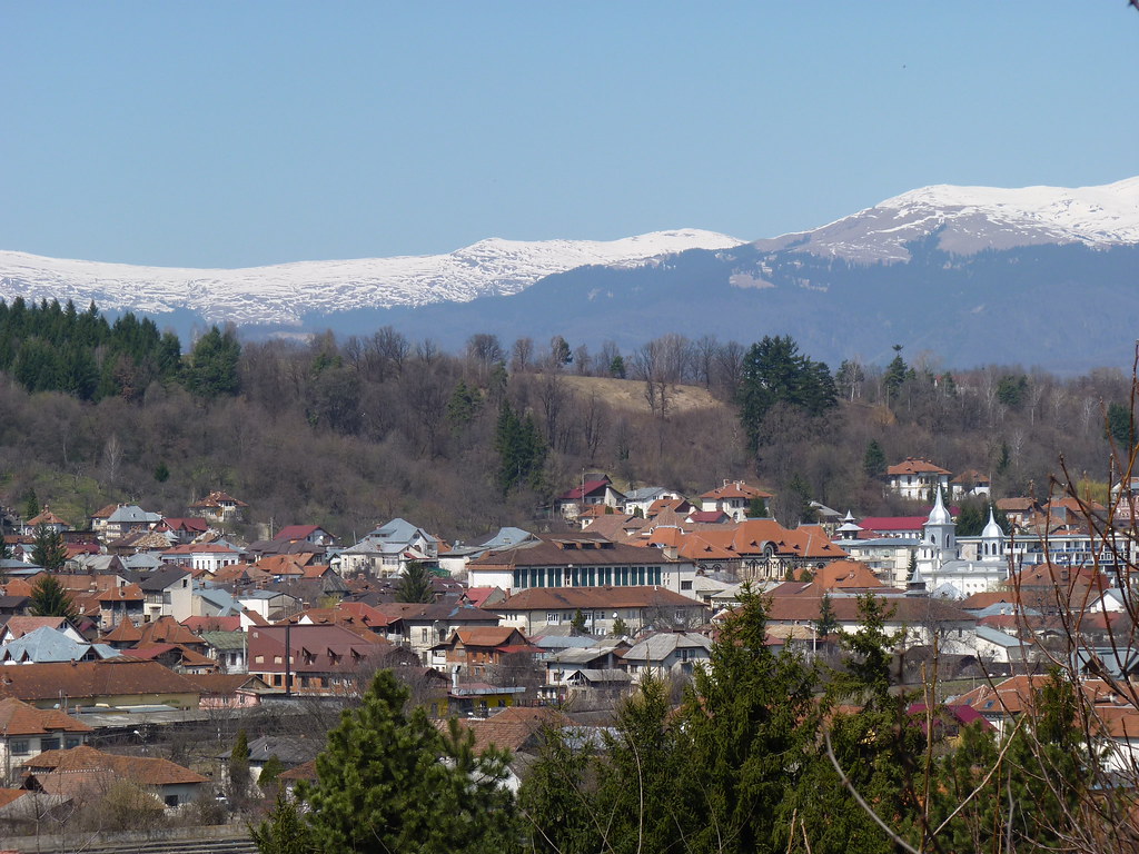
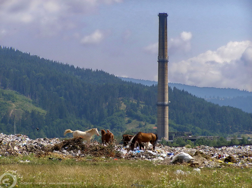
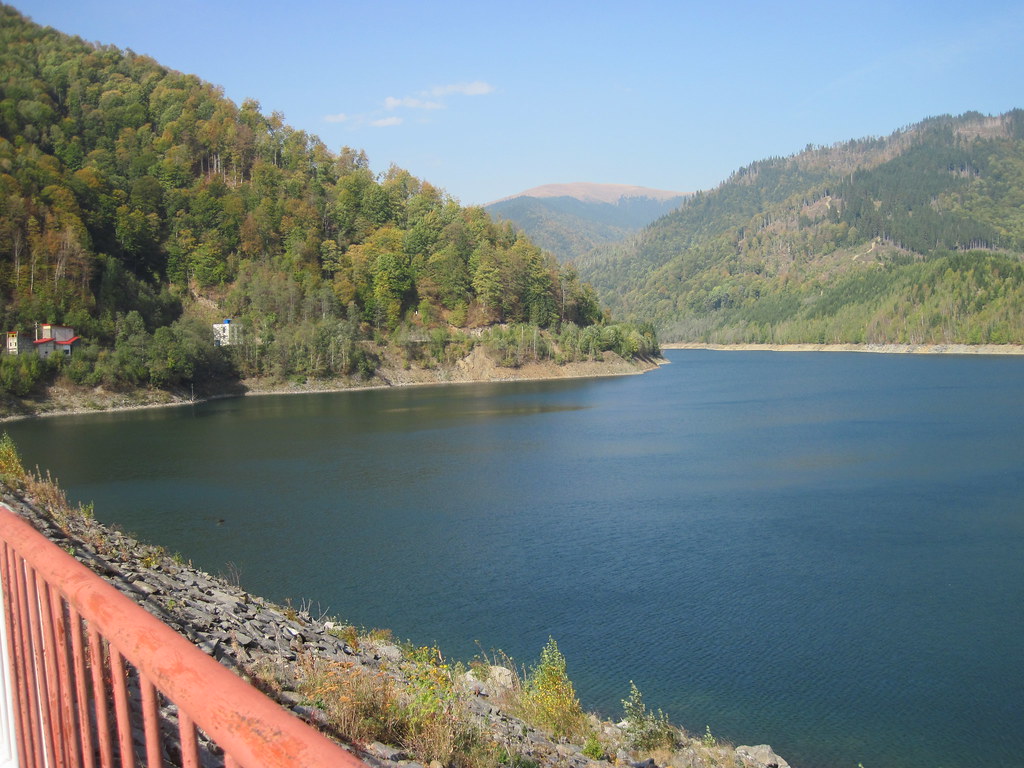
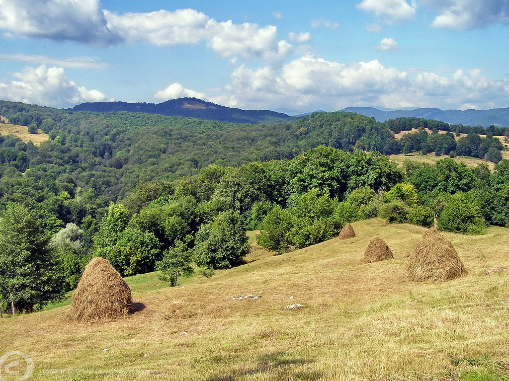
Related Photos:
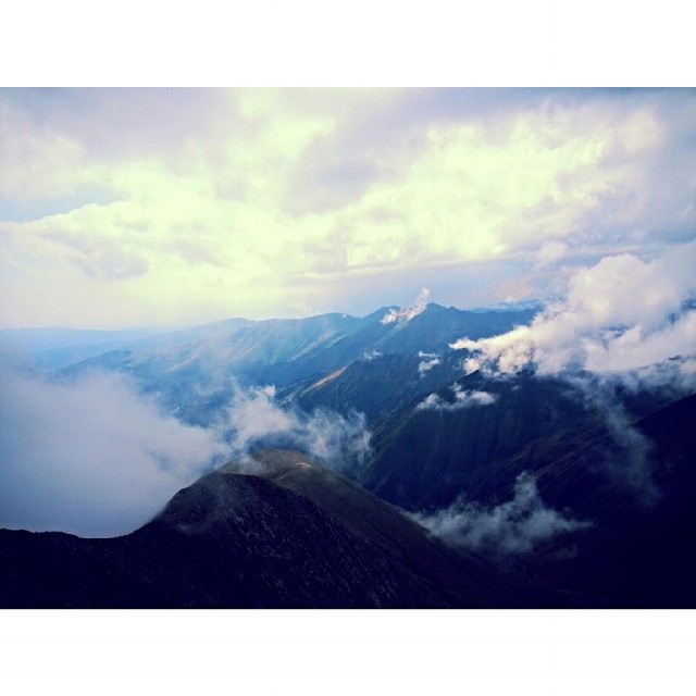
View of a god! #ig_romania #mountains #peak #clouds #sky #perspective #photooftheday #climbing #traveling #instagood
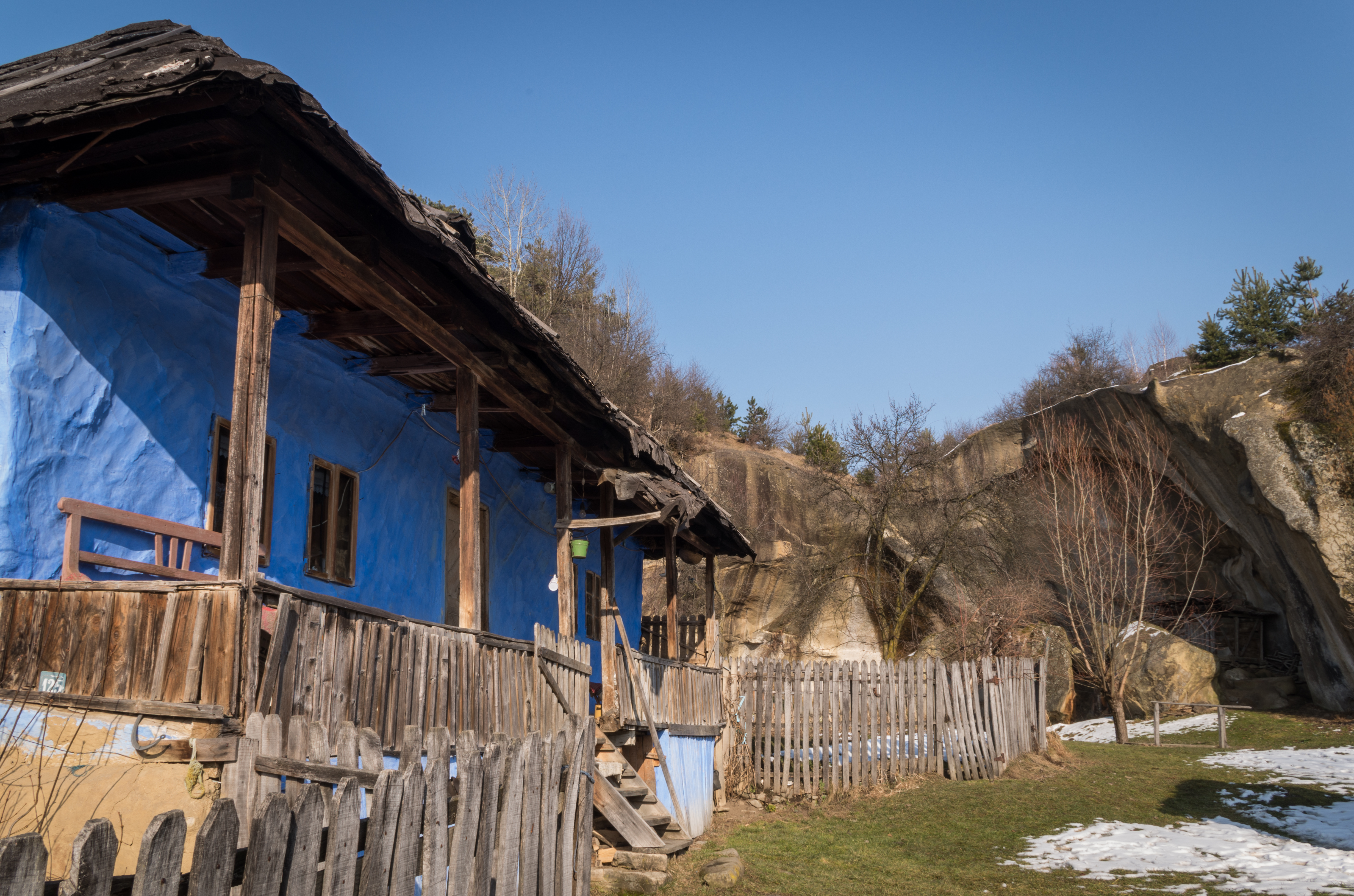
Old house with a view

just a little bit fun with hugin&RawTherapee
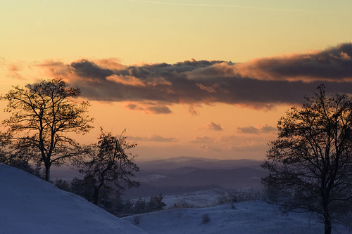
Sunset @ Countryside
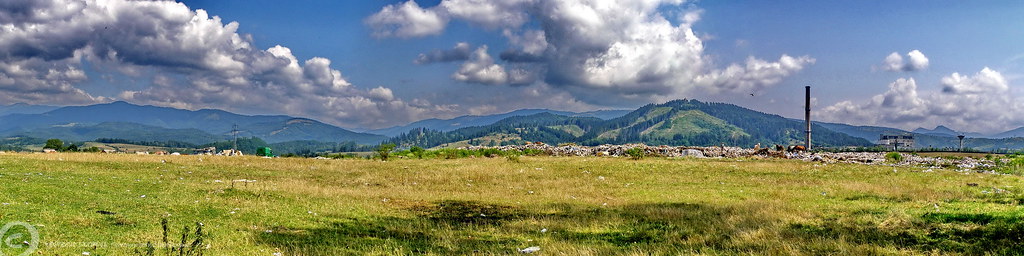
Photo Library-76
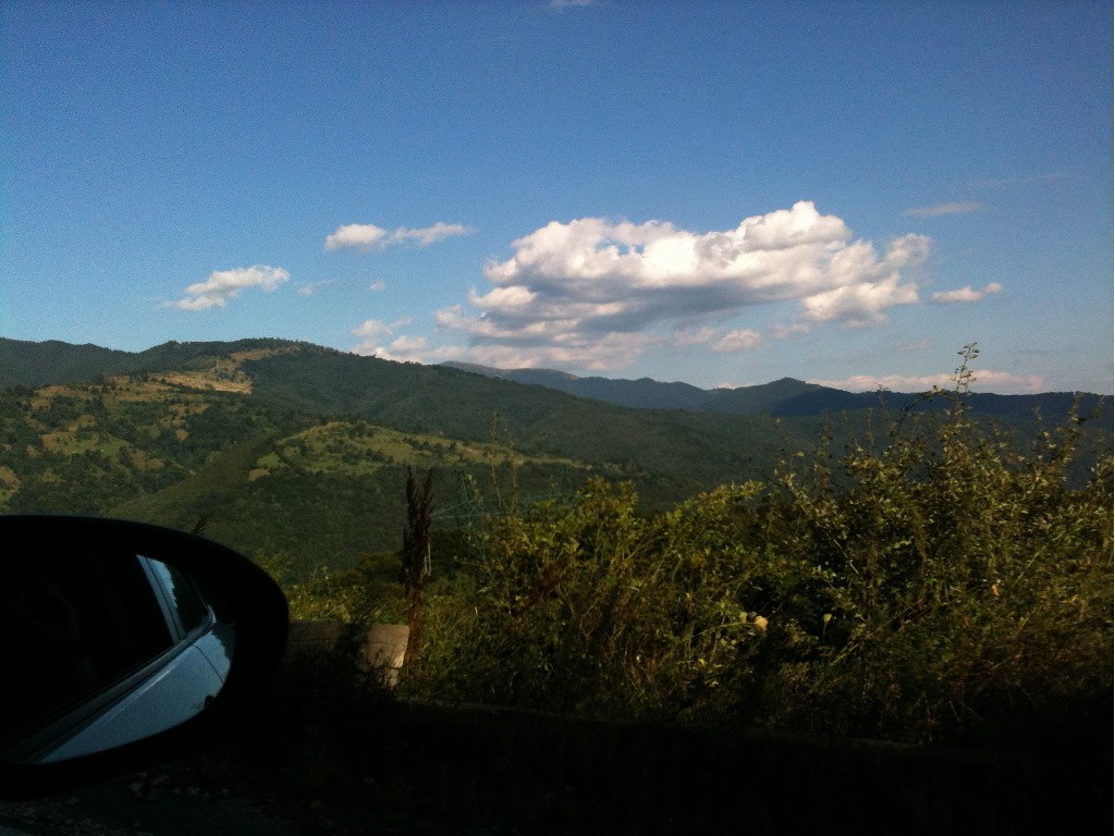
Photo Library-69
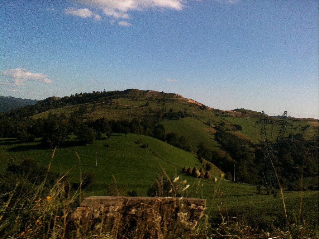
Photo Library-71

Golden heights
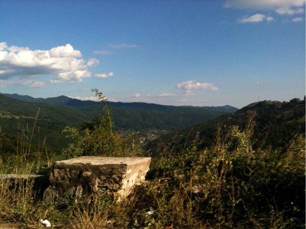
Photo Library-75
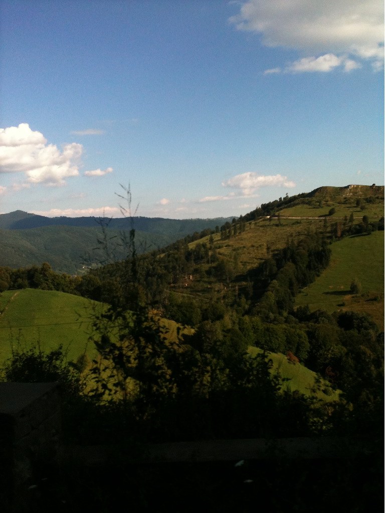
Photo Library-68
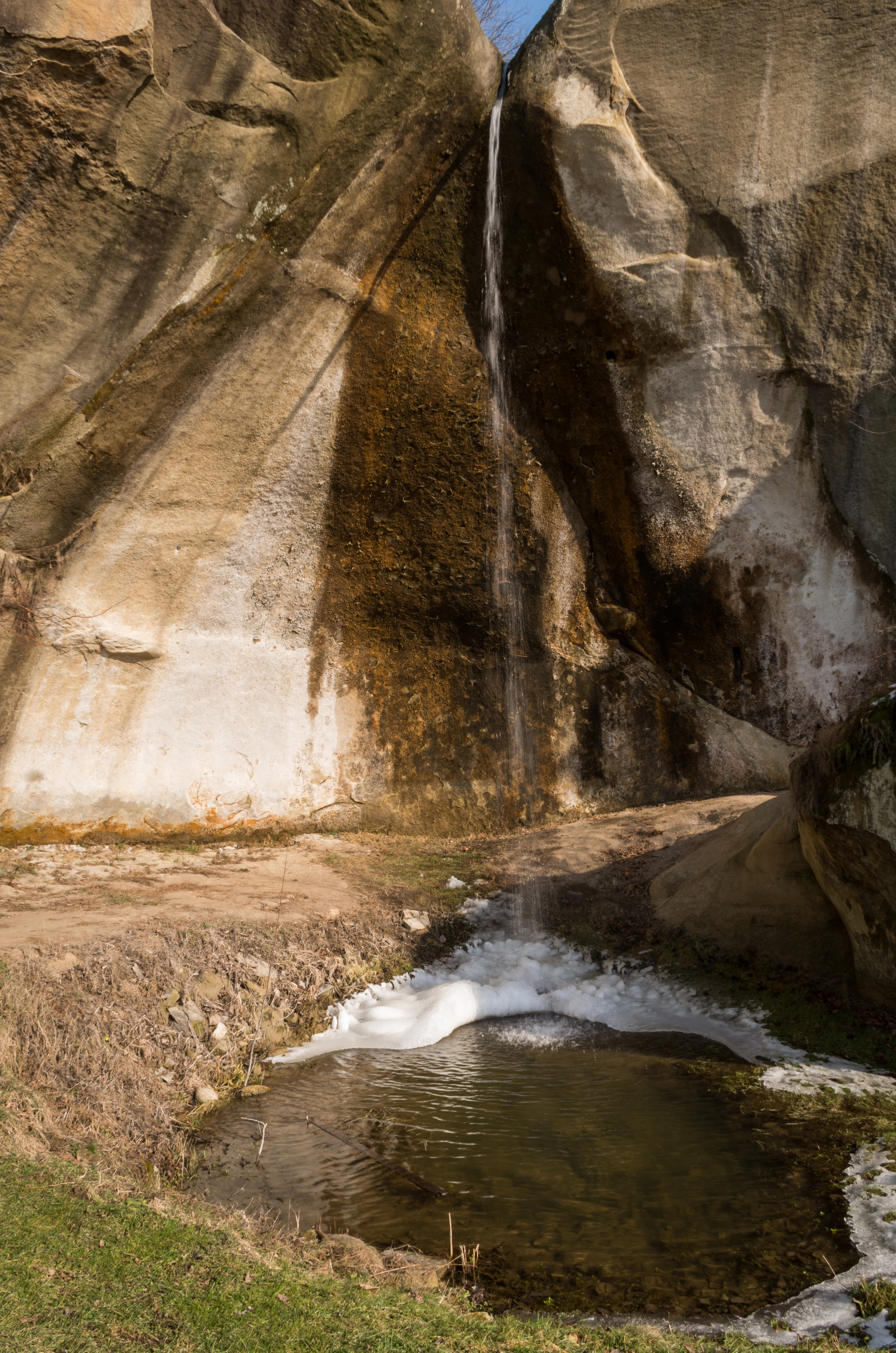
Backyard waterfall

Comin'
West of Schei (near Bughea de Jos), Campulung Muscel, Romania
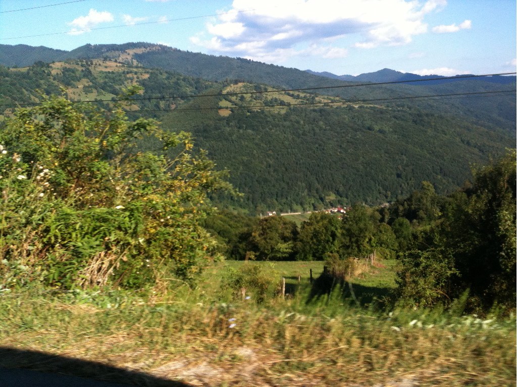
Photo Library-79
Picture 013
vedere de pe Flamanda
'Wild horses'... West of Schei (near Bughea de Jos), Campulung Muscel, Măgura, Romania
Picture 007
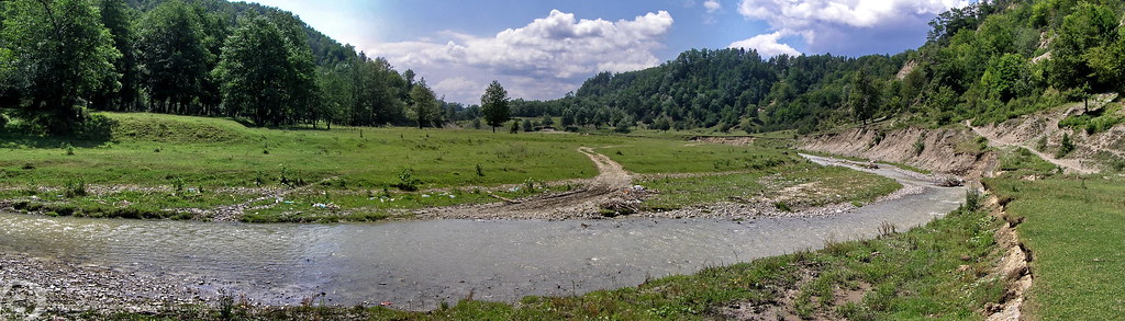
Southwest of Slănic (near Pietroşani), Romania
Picture 016
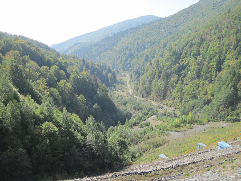
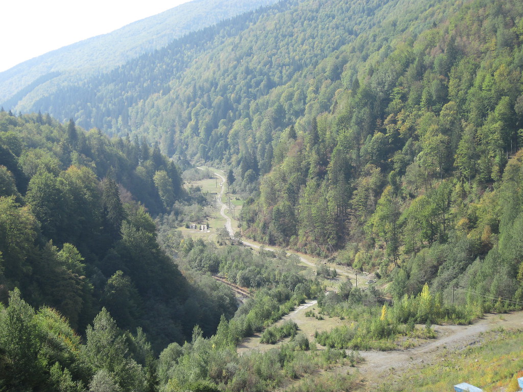
Valley West of Apa Sărată (near Godeni), Godeni, Romania
Valley West of Apa Sărată (near Godeni), Godeni, Romania
Topographic Map of Albești, Romania
Find elevation by address:

Places near Albești, Romania:
Cândești
Campulung
Câmpulung
Lerești
Oțelu
Albestii De Muscel
Berevoesti
Gămăcești
Valea Mare - Pravat
Nămăești
Leresti
Piatra
Dragoslavele
Boteni
Vladesti
Corbi
Boteni
Vlădești
Jgheaburi
Sboghițești
Recent Searches:
- Elevation of Tenjo, Cundinamarca, Colombia
- Elevation of Côte-des-Neiges, Montreal, QC H4A 3J6, Canada
- Elevation of Bobcat Dr, Helena, MT, USA
- Elevation of Zu den Ihlowbergen, Althüttendorf, Germany
- Elevation of Badaber, Peshawar, Khyber Pakhtunkhwa, Pakistan
- Elevation of SE Heron Loop, Lincoln City, OR, USA
- Elevation of Slanický ostrov, 01 Námestovo, Slovakia
- Elevation of Spaceport America, Co Rd A, Truth or Consequences, NM, USA
- Elevation of Warwick, RI, USA
- Elevation of Fern Rd, Whitmore, CA, USA