Elevation of Vlădești, Romania
Location: Romania > Argeș County > Vladesti >
Longitude: 24.9233024
Latitude: 45.1438836
Elevation: 435m / 1427feet
Barometric Pressure: 96KPa
Elevation Map:
Satellite Map:
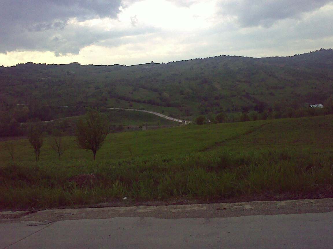
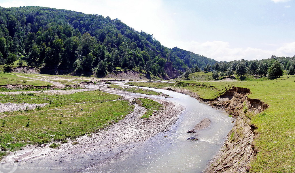
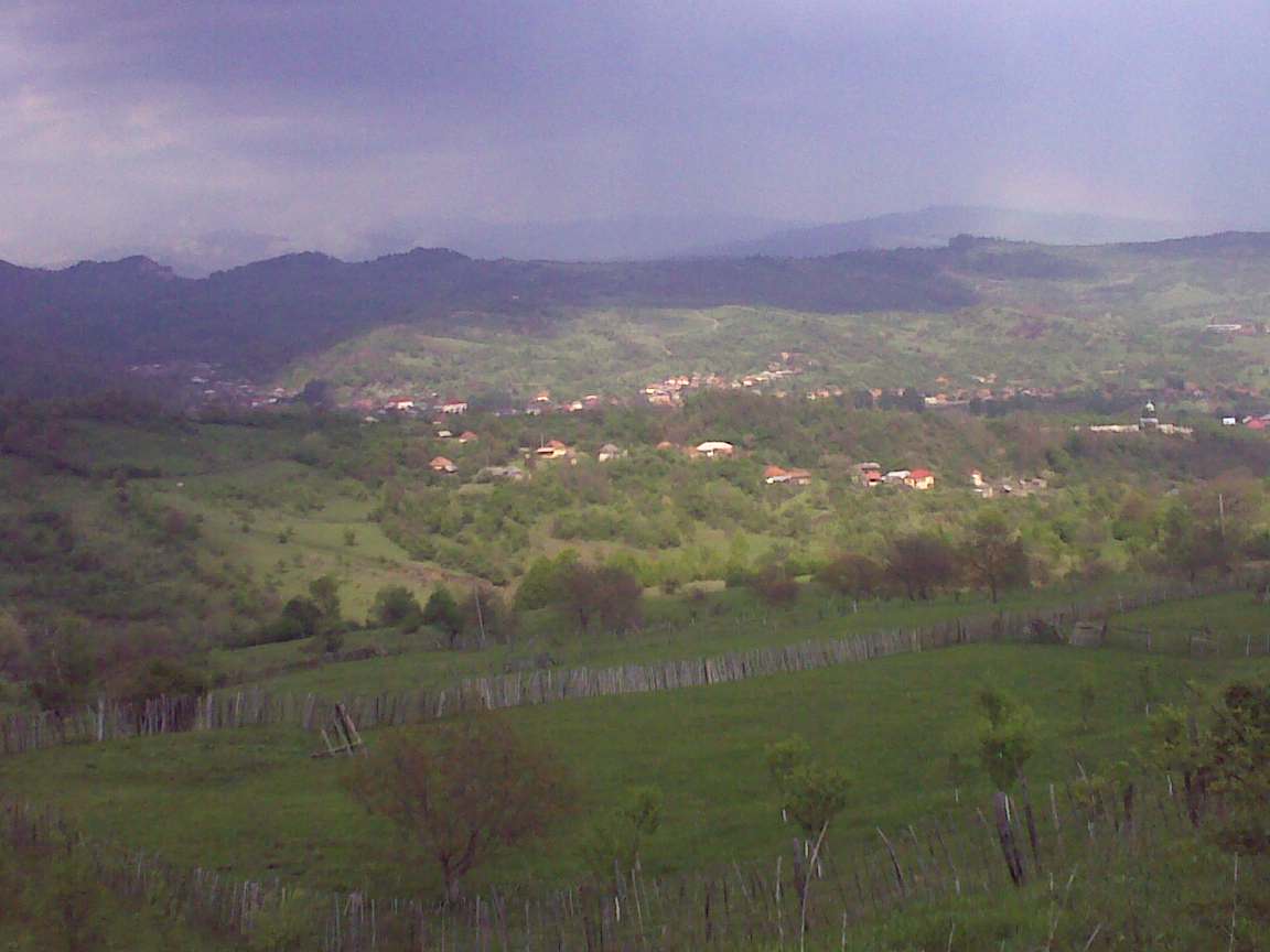
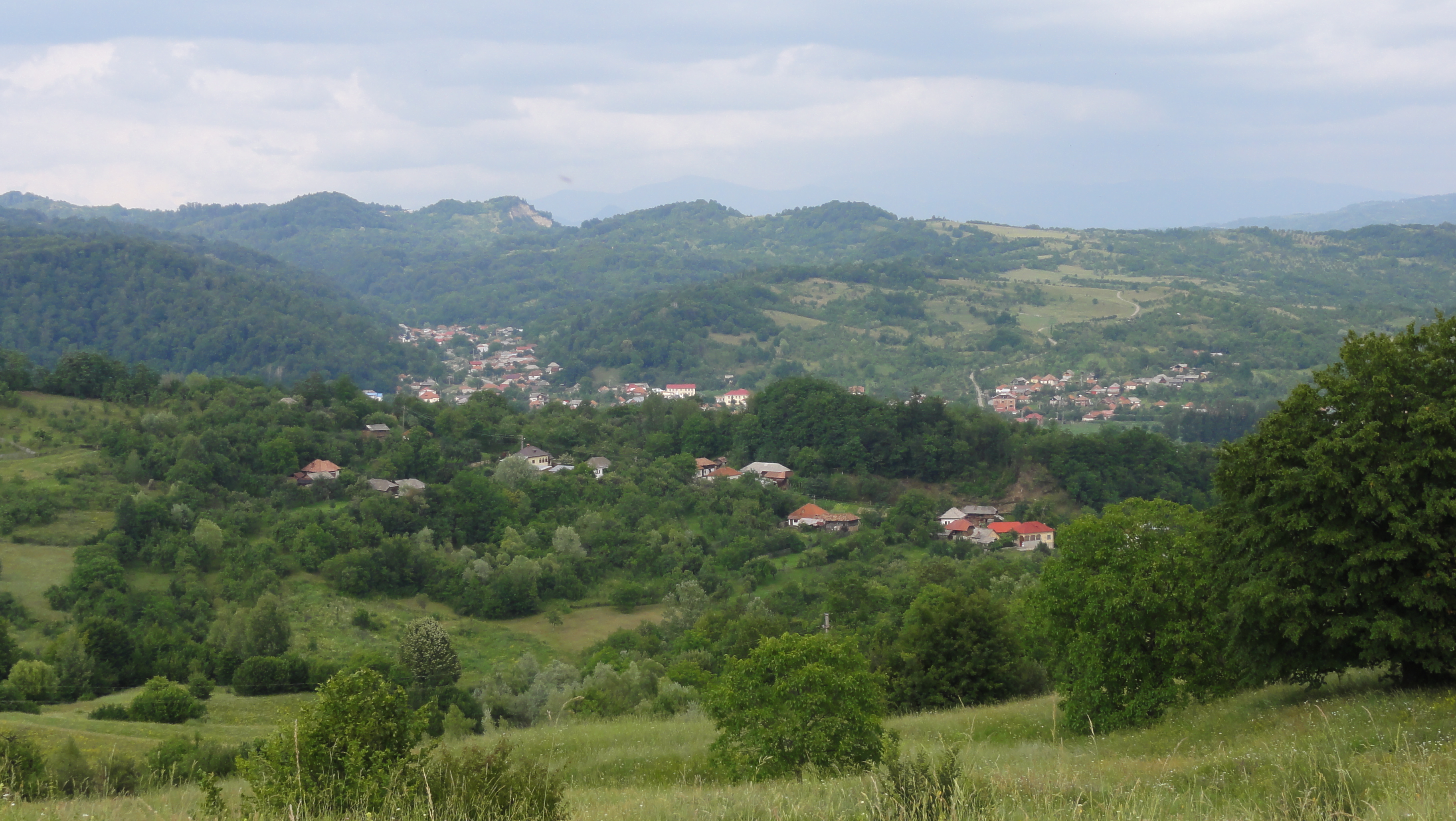
Related Photos:
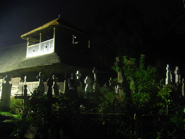
Wooden Church in Jupanesti Arges,Romania
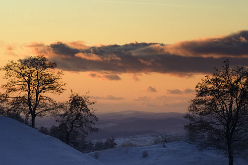
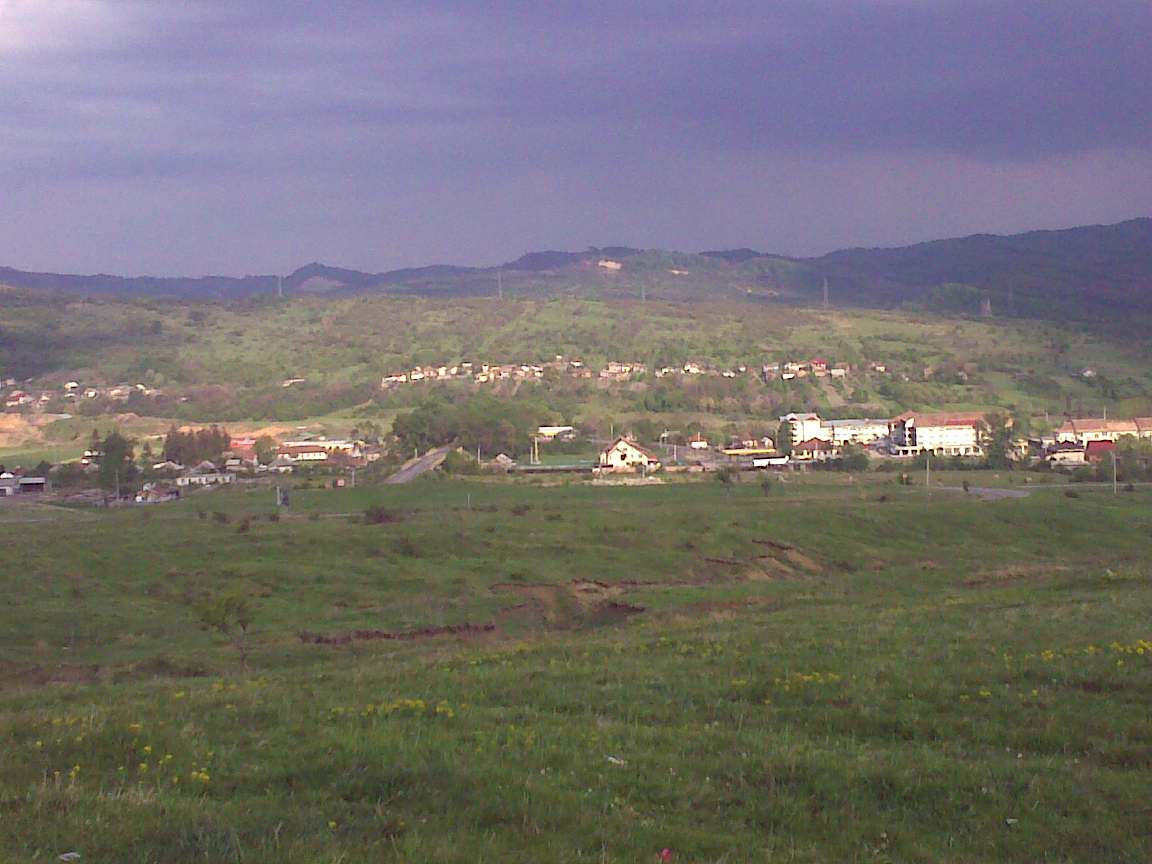
Sunset @ Countryside
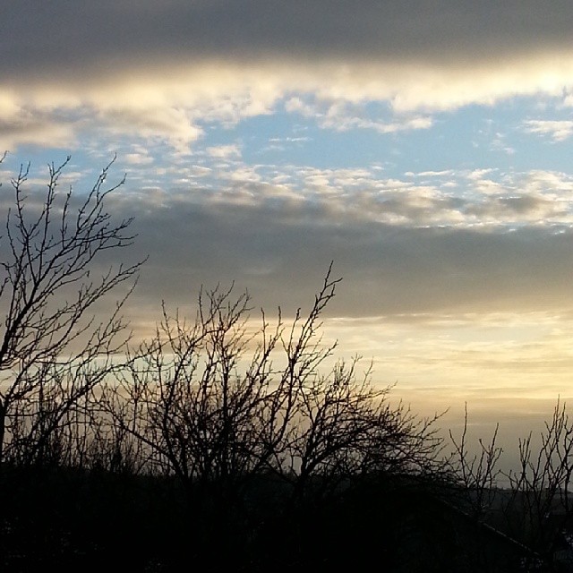
My favourite moment of the day
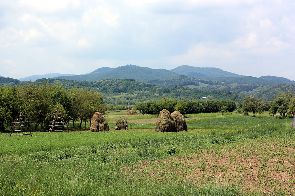
Musatesti (Arges- Romania)
Southwest of Slănic (near Pietroşani), Romania
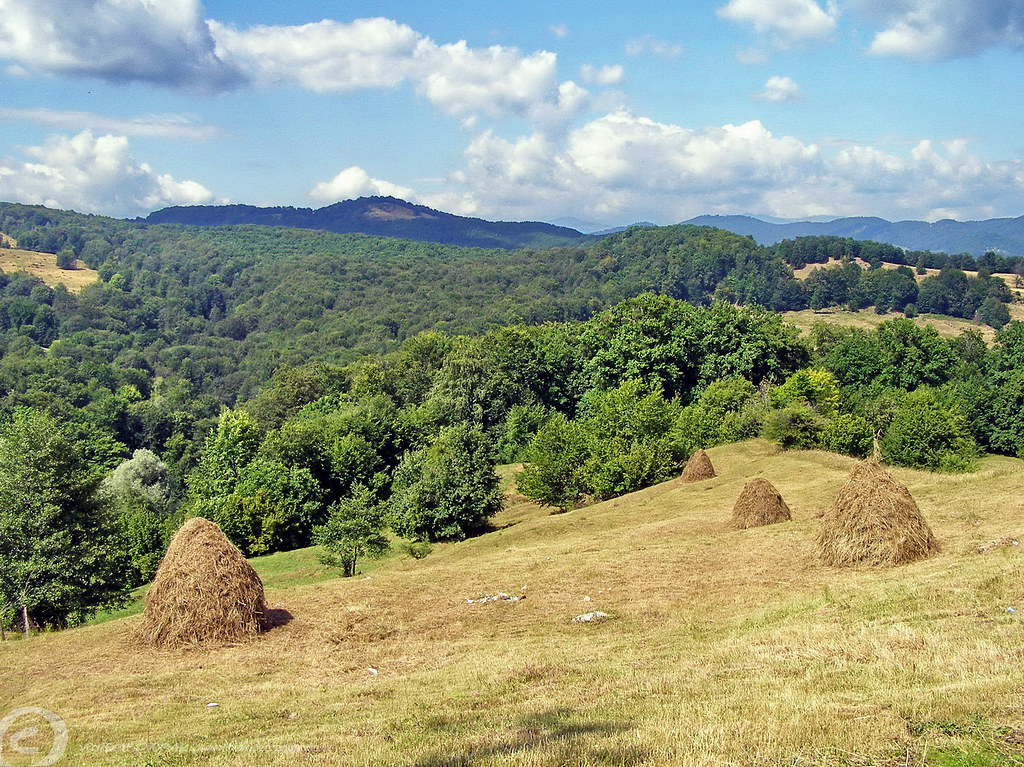
Valley West of Apa Sărată (near Godeni), Godeni, Romania
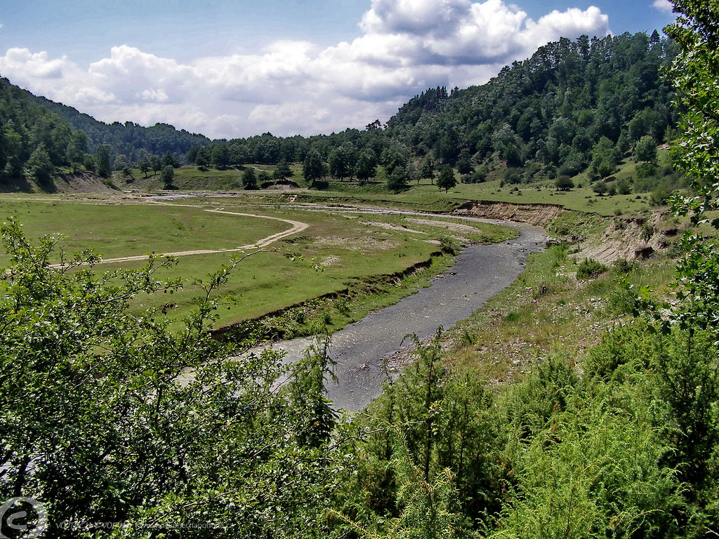
Valley West of Apa Sărată (near Godeni), Godeni, Romania
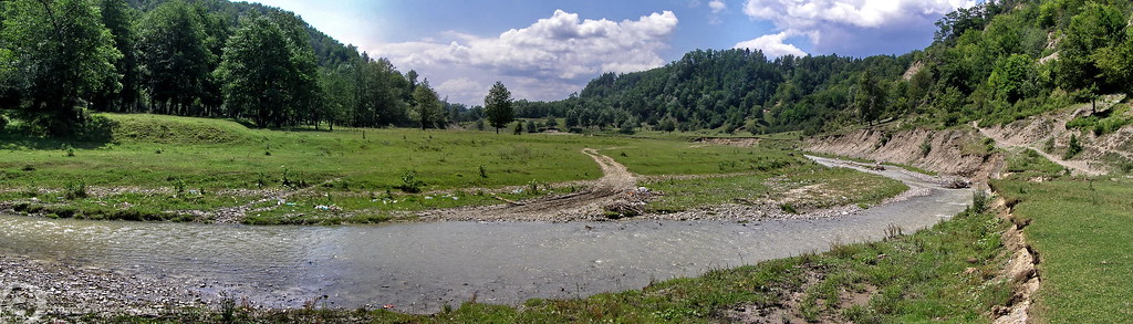
Valley West of Apa Sărată (near Godeni), Godeni, Romania
Scurta privire inapoi spre V. Bughea
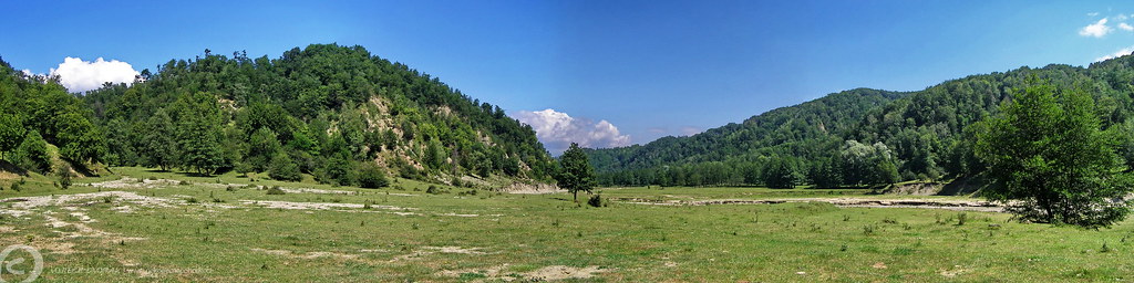
Valley West of Apa Sărată (near Godeni), Godeni, Romania

Valley West of Apa Sărată (near Godeni), Godeni, Romania
Perspectiva spre Valea Bratiei ...
130630 trip to Romania 32
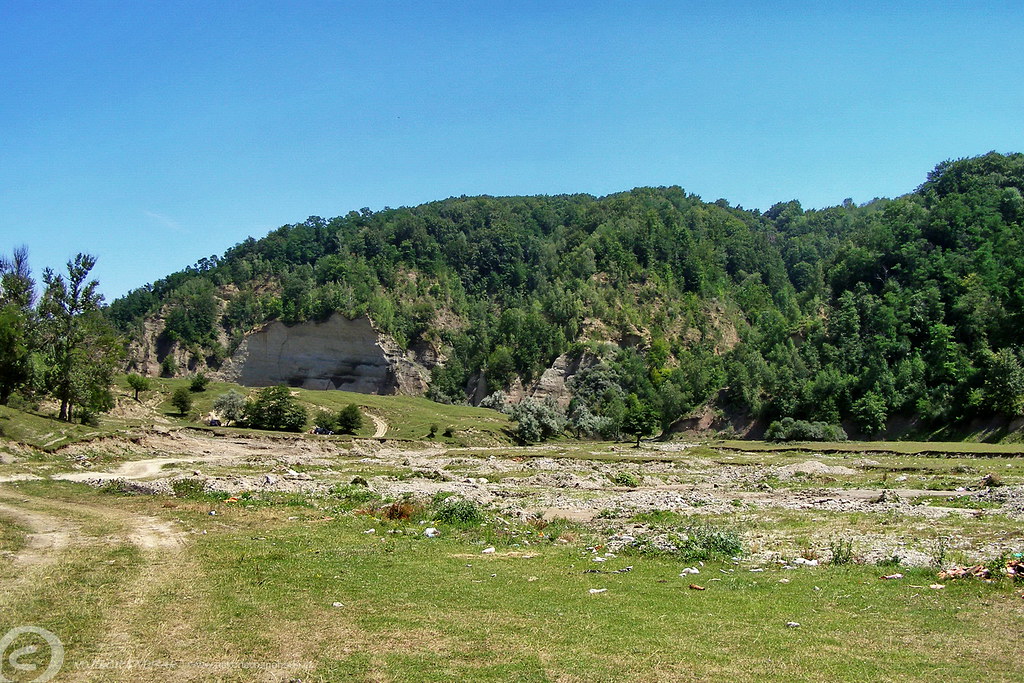
Valley West of Apa Sărată (near Godeni), Godeni, Romania
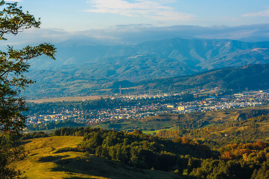
Campulung Muscel
Picture 1795
Valea Raului Targului
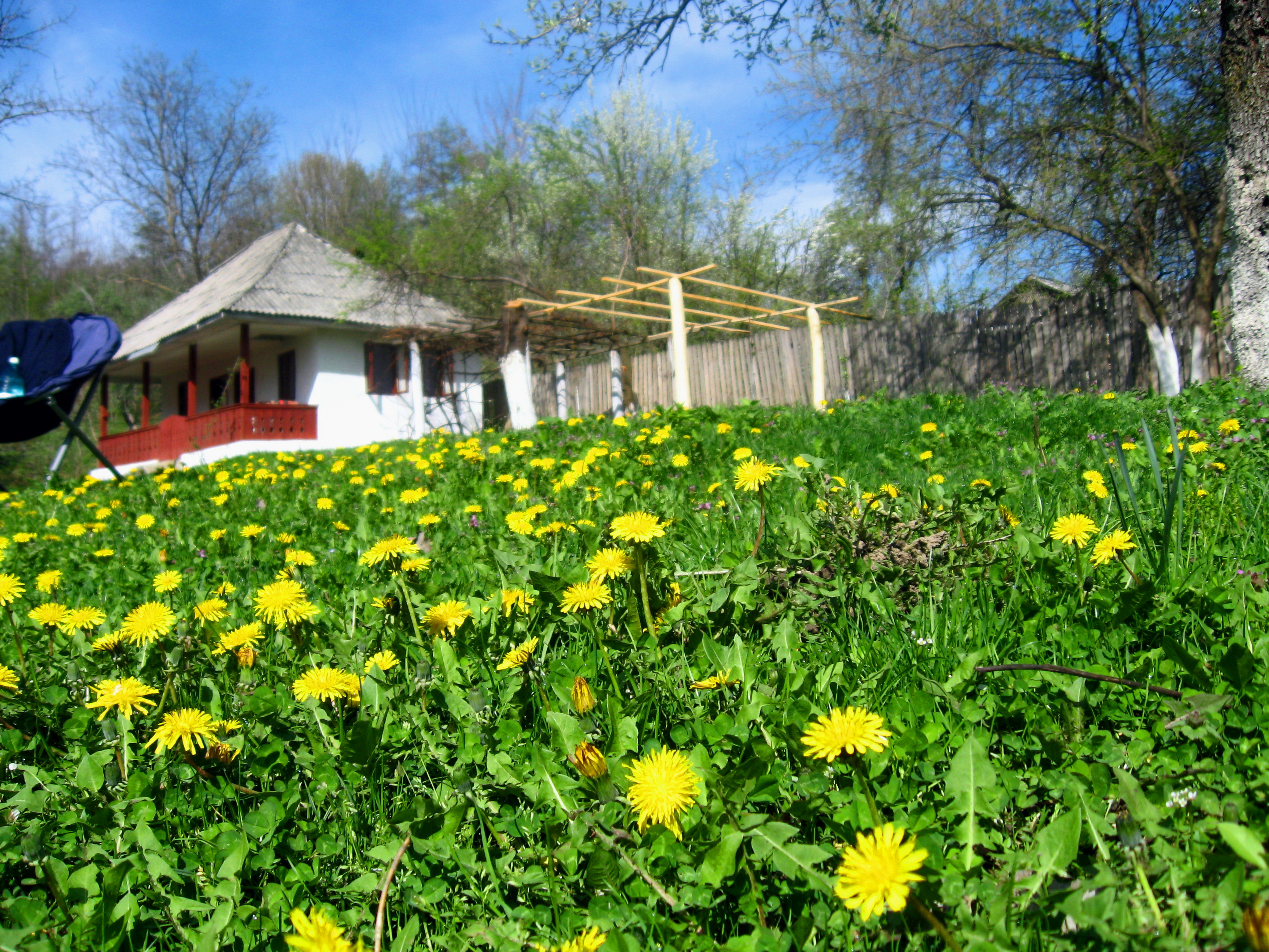
Small house in a romanian village,Jupanesti Arges
Topographic Map of Vlădești, Romania
Find elevation by address:

Places near Vlădești, Romania:
Vladesti
Poienița
Balilesti
Gămăcești
Berevoesti
Oțelu
Argeș County
Musatesti
Corbi
Mușătești
Jgheaburi
Câmpulung
Albești
Cândești
Corbi
Uleni
Campulung
Cosaci
Boteni
Brăduleț
Recent Searches:
- Elevation of Kambingan Sa Pansol Atbp., Purok 7 Pansol, Candaba, Pampanga, Philippines
- Elevation of Pinewood Dr, New Bern, NC, USA
- Elevation of Mountain View, CA, USA
- Elevation of Foligno, Province of Perugia, Italy
- Elevation of Blauwestad, Netherlands
- Elevation of Bella Terra Blvd, Estero, FL, USA
- Elevation of Estates Loop, Priest River, ID, USA
- Elevation of Woodland Oak Pl, Thousand Oaks, CA, USA
- Elevation of Brownsdale Rd, Renfrew, PA, USA
- Elevation of Corcoran Ln, Suffolk, VA, USA