Elevation of Stevens Mill Rd, Goldsboro, NC, USA
Location: United States > North Carolina > Wayne County > Brogden >
Longitude: -78.115829
Latitude: 35.3449839
Elevation: 46m / 151feet
Barometric Pressure: 101KPa
Elevation Map:
Satellite Map:
Related Photos:
Time to Fly!!

Beautiful Life

Rainbow center
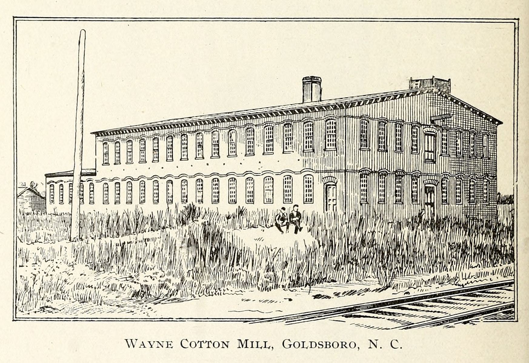
Wayne Cotton Mill, Goldsboro, NC
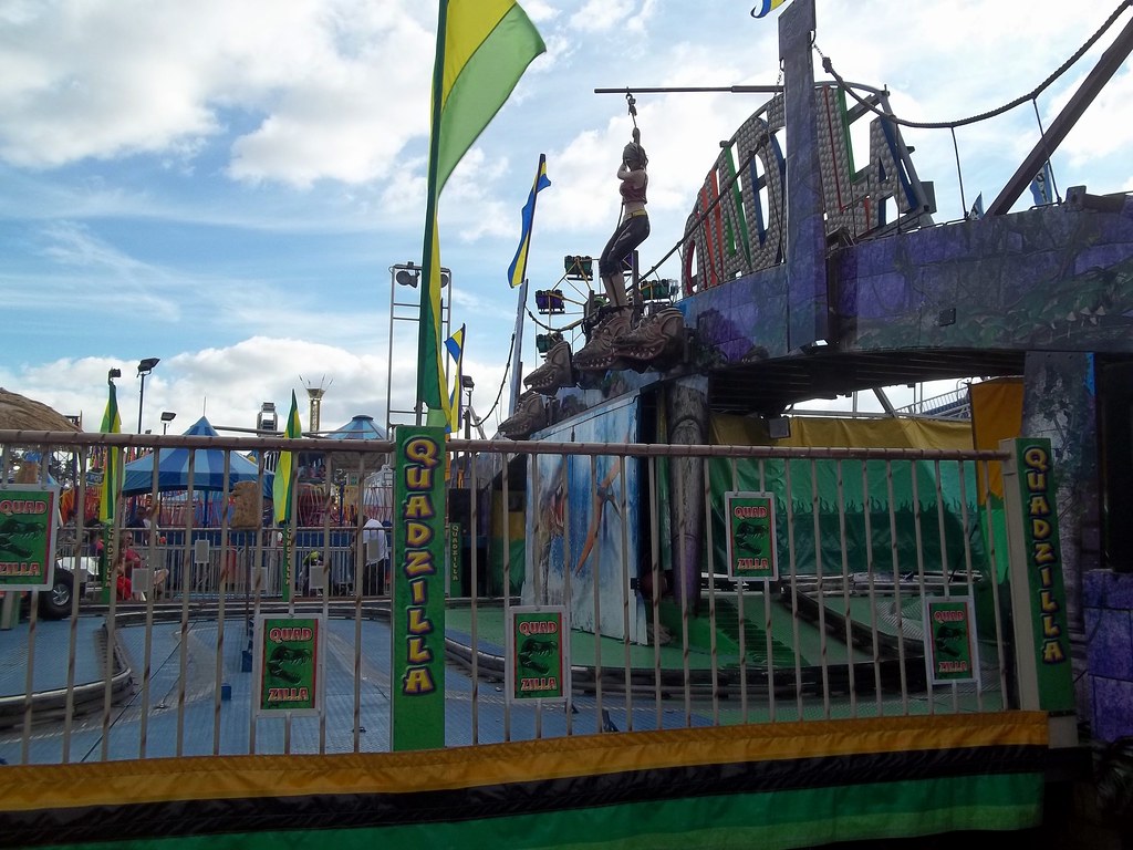
Side View Of Powers Quadzilla Carnival Ride.

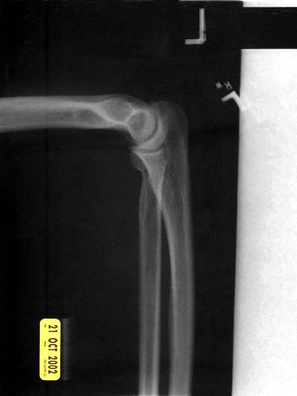
X-ray 3
X-ray 2
X-ray 1

Sculptures From The Past
X-ray 3, highlighted

Willow Dale Cemetery
X-ray 4

SKY - HDR
right side view
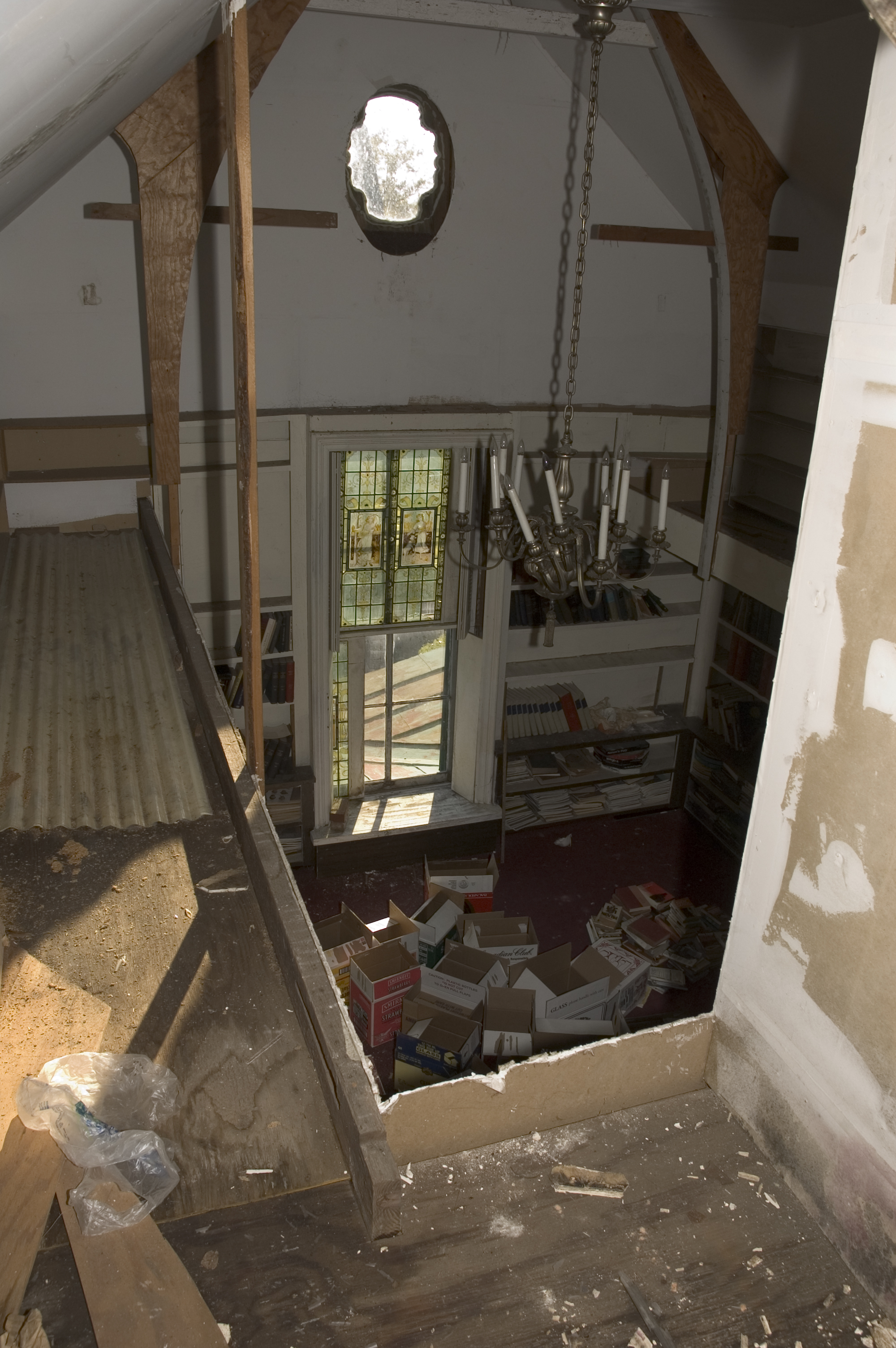
library view from the mezzanine
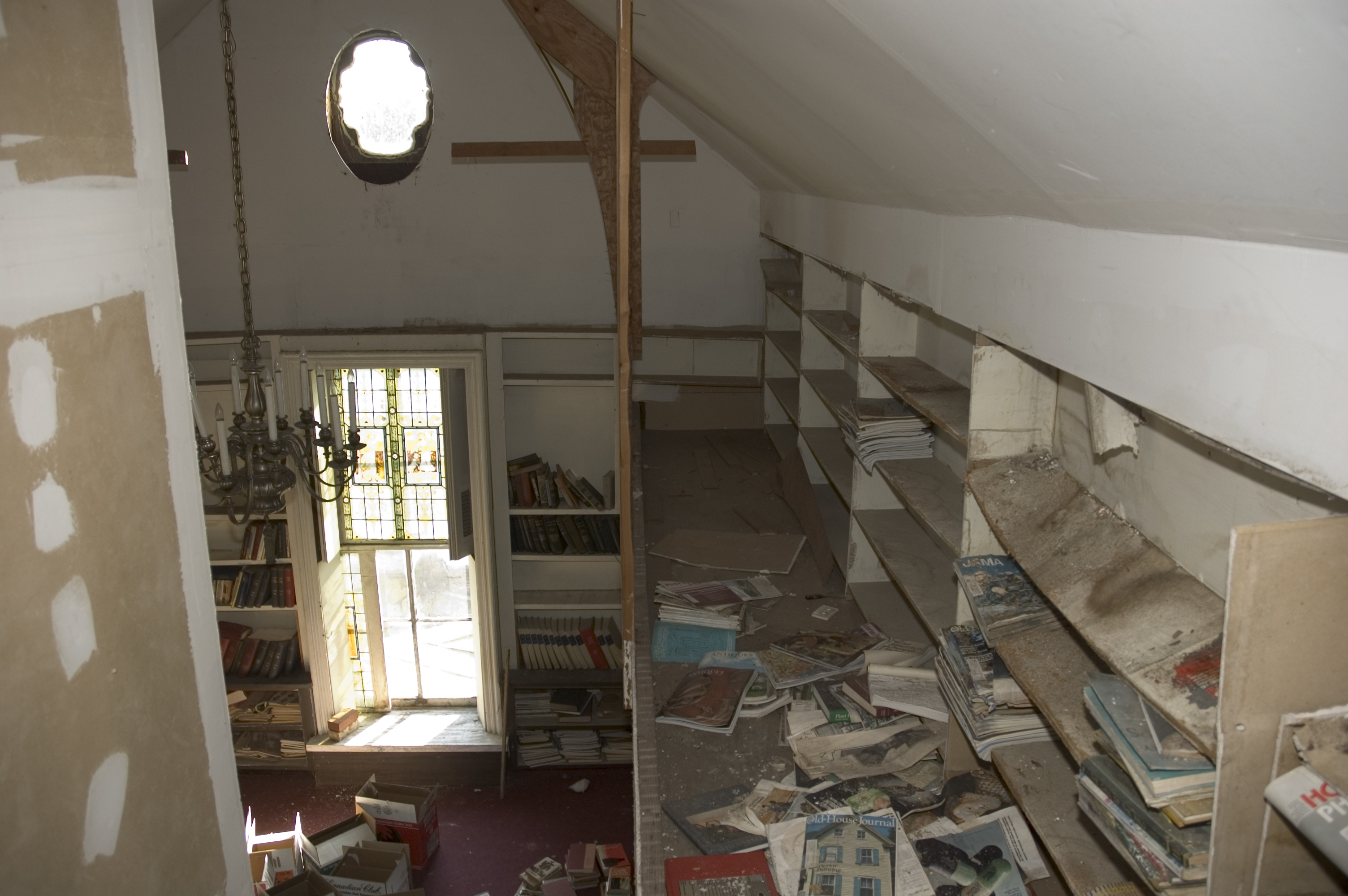
library view from the mezzanine
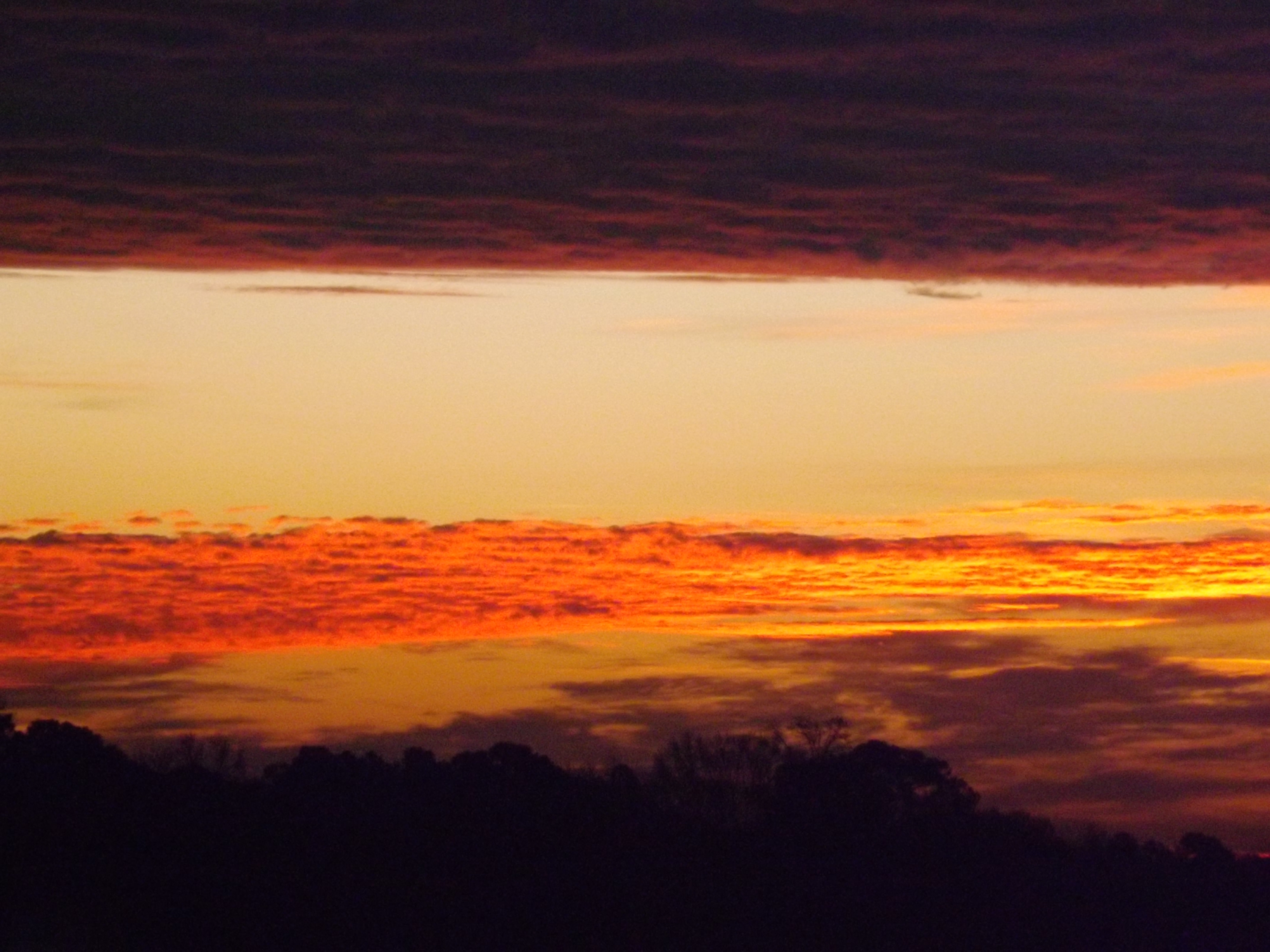
Cloud filled sunrise

Colorful Sunrise
IT'S ELECTRIC
Raindrops - 040513-103635-RGA
Neuse River - 041513-123441-RGA

Britt Farmall
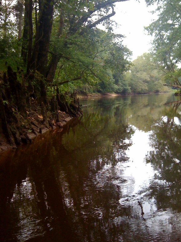
Swamp near Neuse River
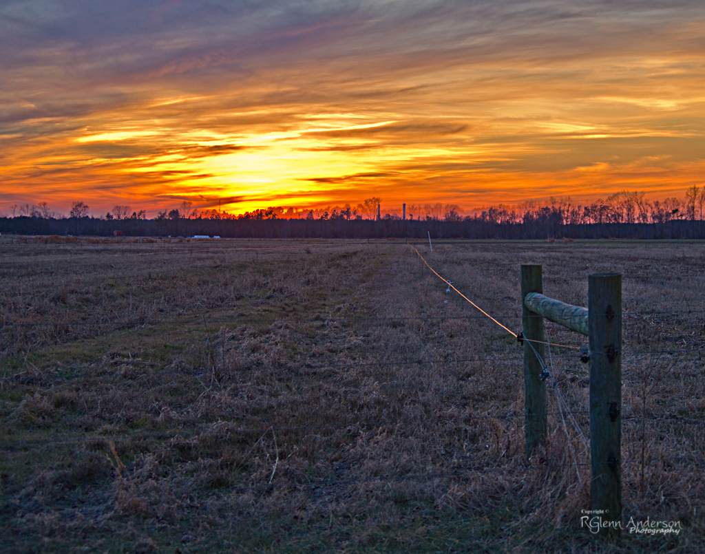
Winter Sunset

Dead Tree.

Frosty Morning
Quick Photos From the Neuse River Expedition
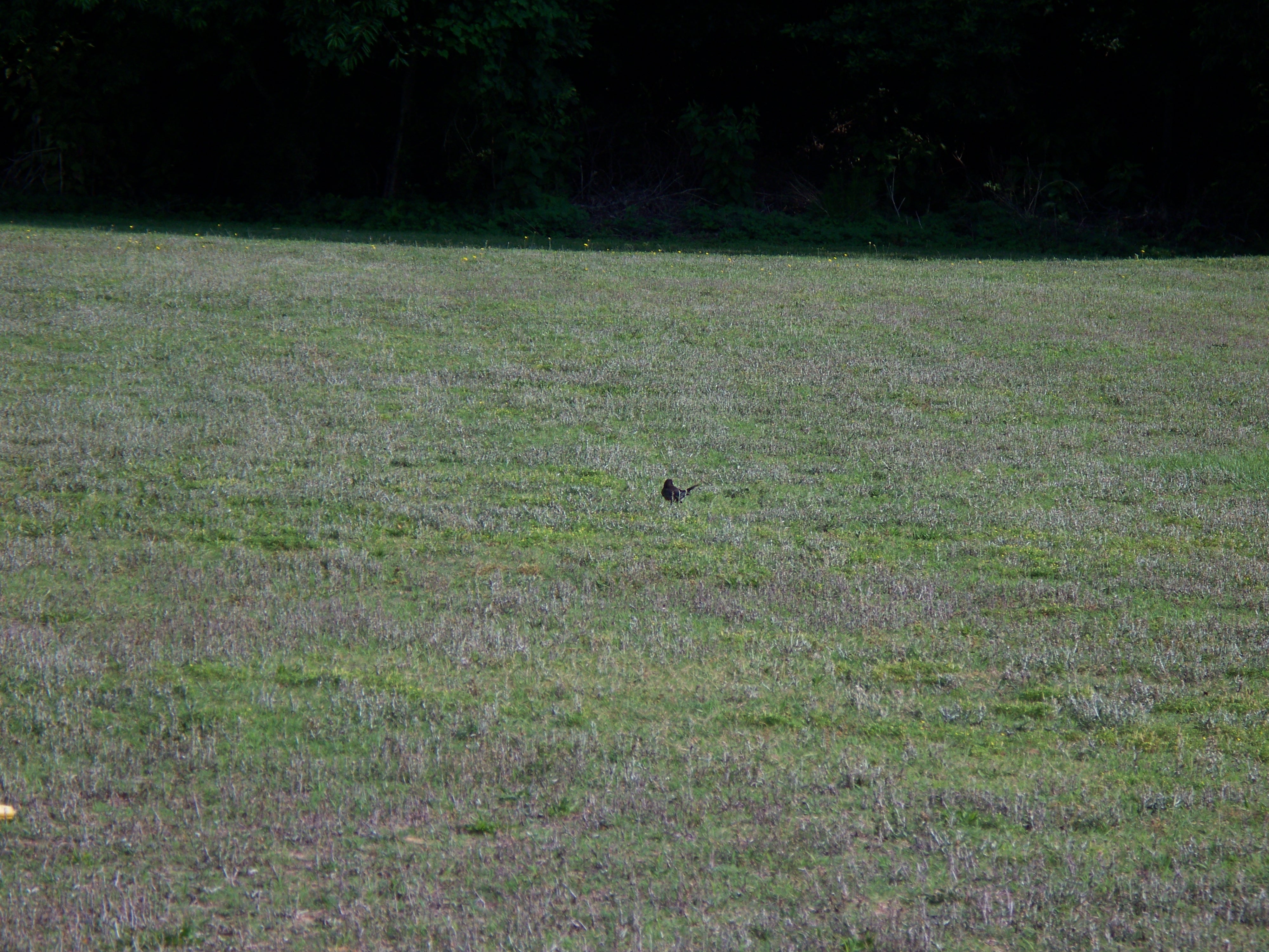
Bird walking across the grass

A few quick Neuse River Pictures
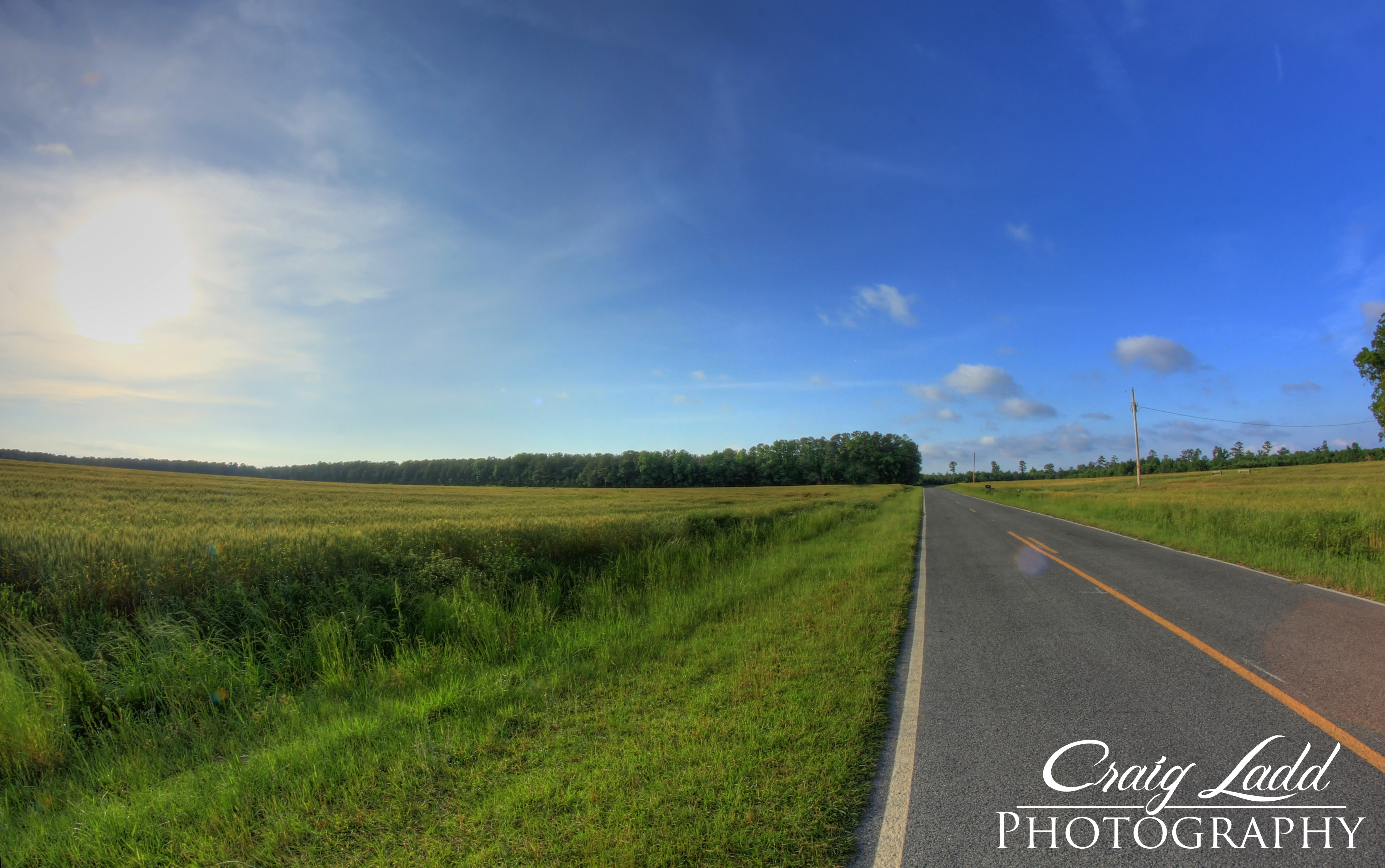
Country Road | Bentonville, NC
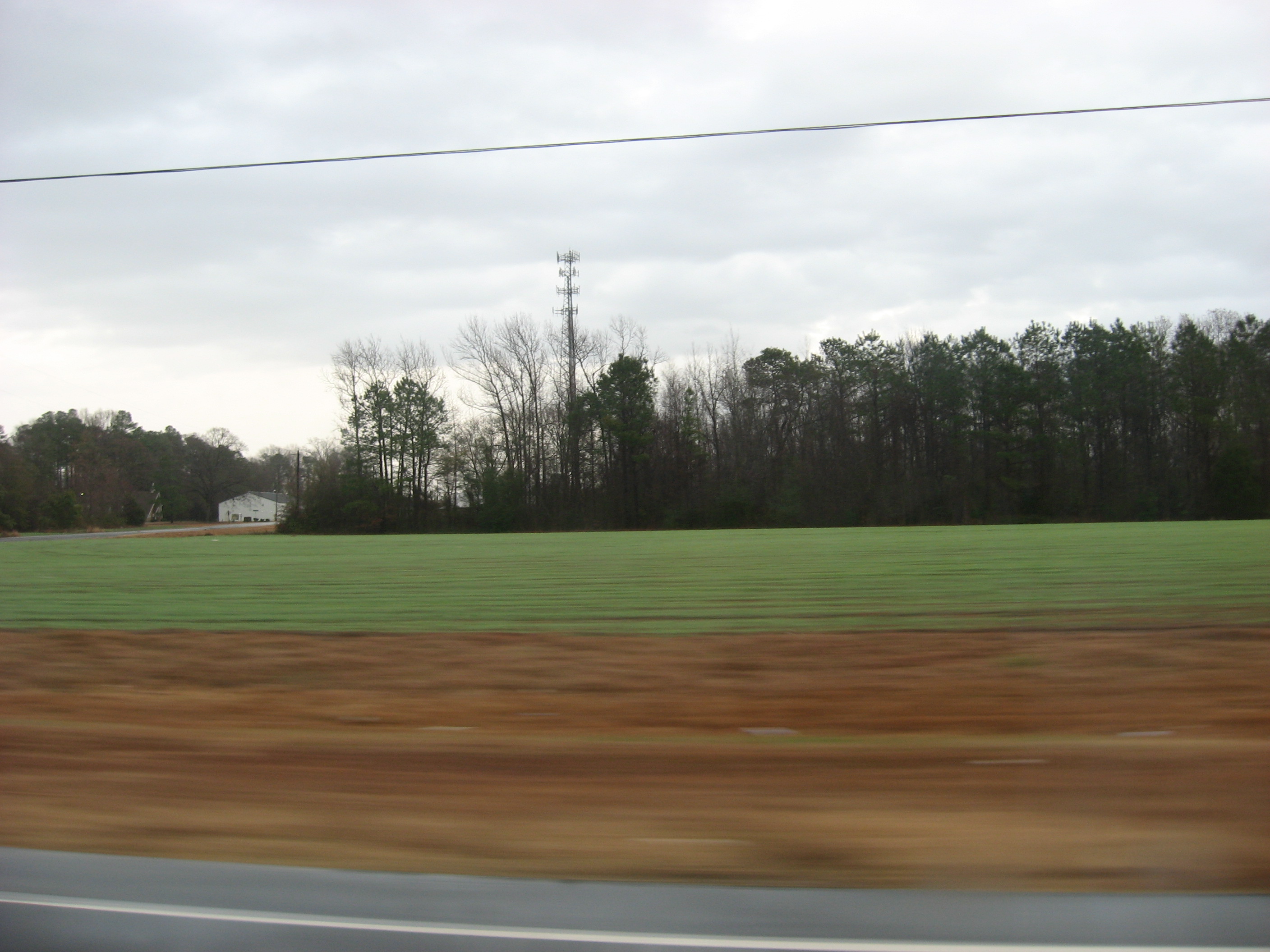
Picture 010
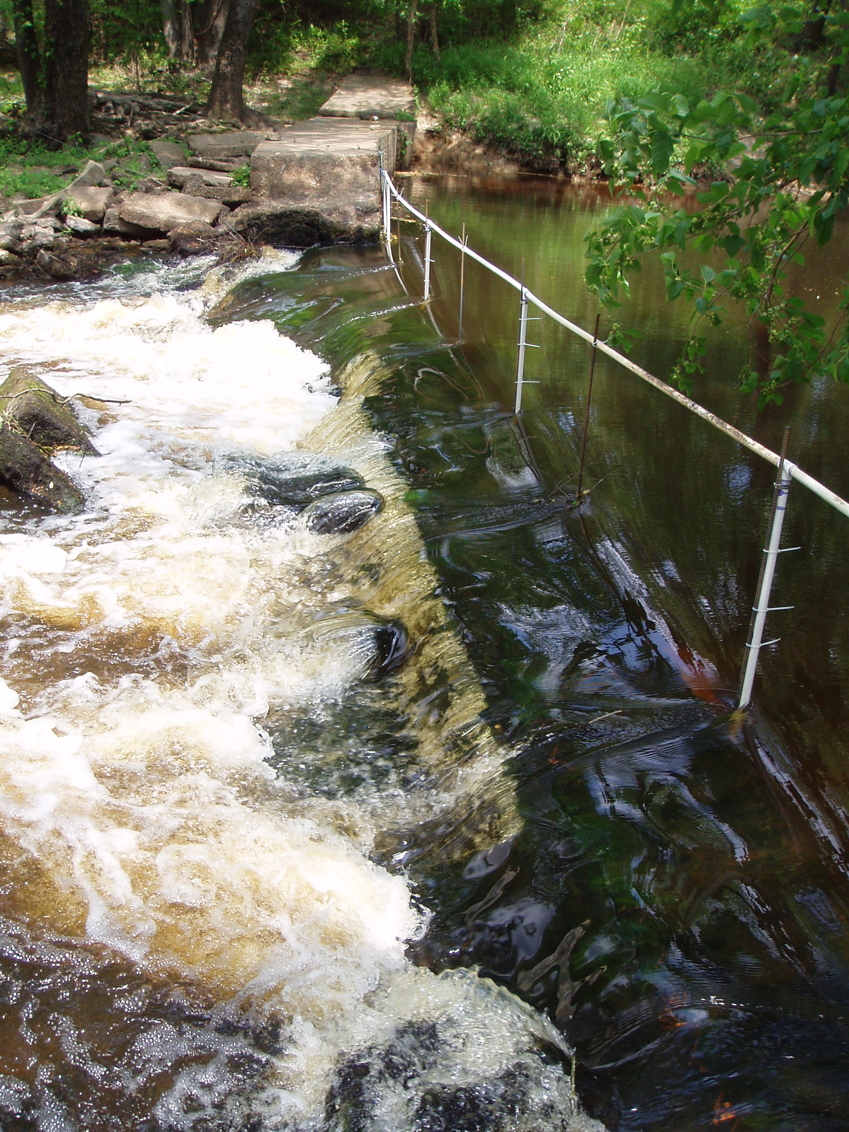
notched dam
Morgan Waypoint 003A
8-6-2006-24
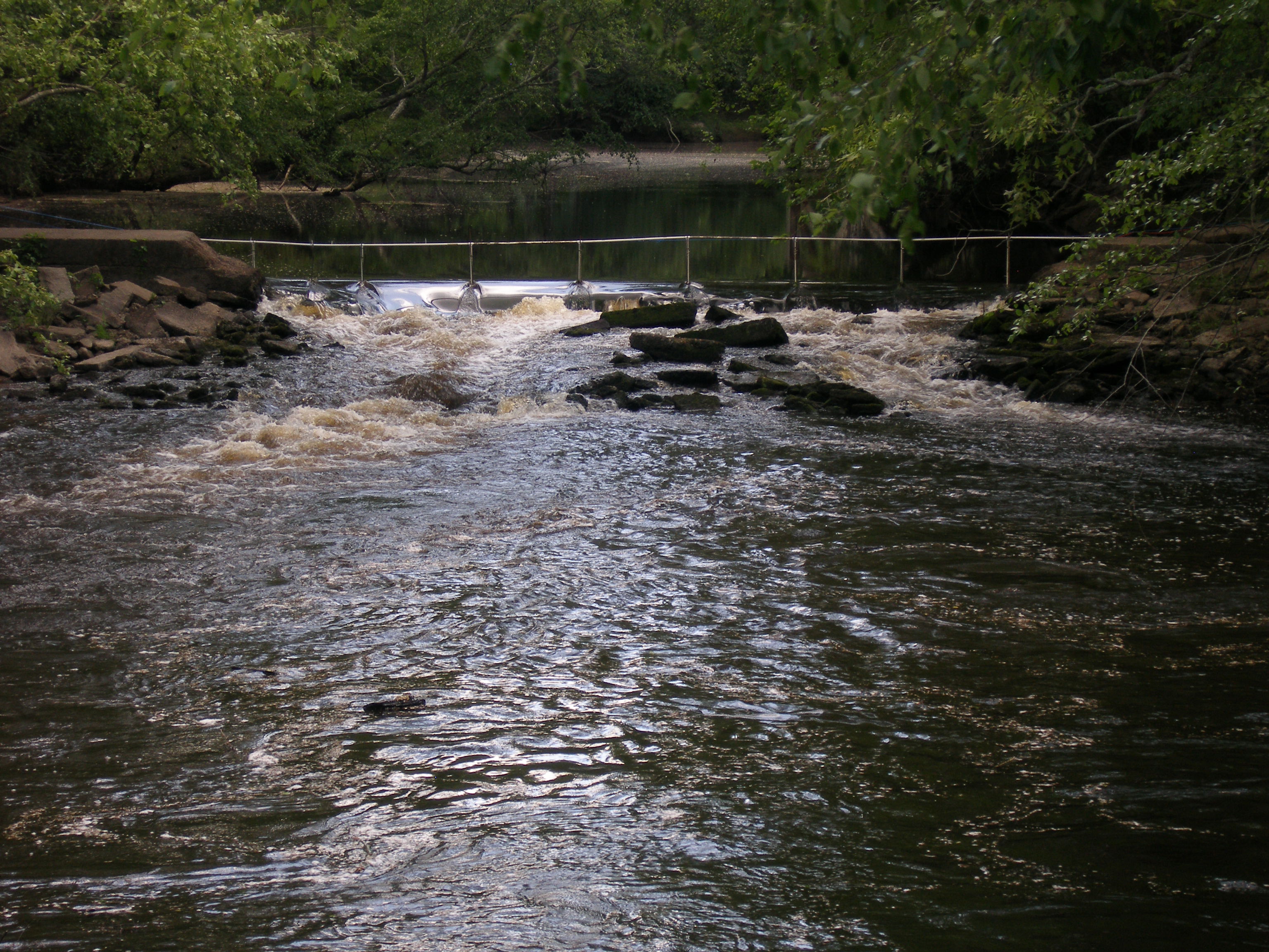
notched dam pit antenna
20151110-RD-LSC-0647
20151110-RD-LSC-0645
Topographic Map of Stevens Mill Rd, Goldsboro, NC, USA
Find elevation by address:

Places near Stevens Mill Rd, Goldsboro, NC, USA:
111 Nicole Cir
1199 Black Jack Church Rd
1223 Old Grantham Rd
Fork
500 Buckleberry Rd
438 State Rd 2541
Mar-mac
325 State Rd 2541
111 Radford Dr
Brogden Road & Buckleberry Road
Brogden Road & Buckleberry Road
Brogden Road & Buckleberry Road
Boon Hill
555 Gurleys Mill Rd
Princeton
7394 Hickory Crossroads Rd
Buck Swamp
Steven's Chapel Rd, Smithfield, NC, USA
77 Lightwood Circle
7185 Brogden Rd
Recent Searches:
- Elevation of Leguwa, Nepal
- Elevation of County Rd, Enterprise, AL, USA
- Elevation of Kolchuginsky District, Vladimir Oblast, Russia
- Elevation of Shustino, Vladimir Oblast, Russia
- Elevation of Lampiasi St, Sarasota, FL, USA
- Elevation of Elwyn Dr, Roanoke Rapids, NC, USA
- Elevation of Congressional Dr, Stevensville, MD, USA
- Elevation of Bellview Rd, McLean, VA, USA
- Elevation of Stage Island Rd, Chatham, MA, USA
- Elevation of Shibuya Scramble Crossing, 21 Udagawacho, Shibuya City, Tokyo -, Japan