Elevation of Gurleys Mill Rd, Princeton, NC, USA
Location: United States > North Carolina > Johnston County > Boon Hill >
Longitude: -78.145489
Latitude: 35.462693
Elevation: 48m / 157feet
Barometric Pressure: 101KPa
Elevation Map:
Satellite Map:
Related Photos:
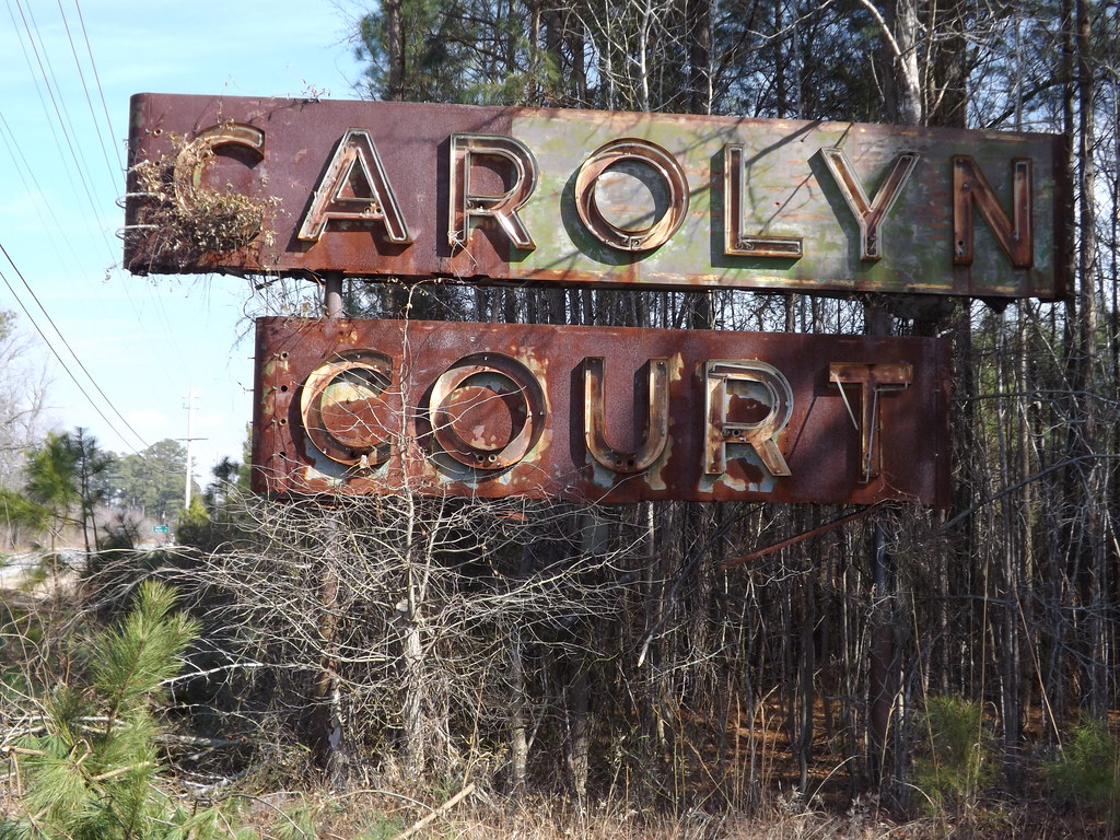
Carolyn Court

Video of Rain distorting the locomotive image
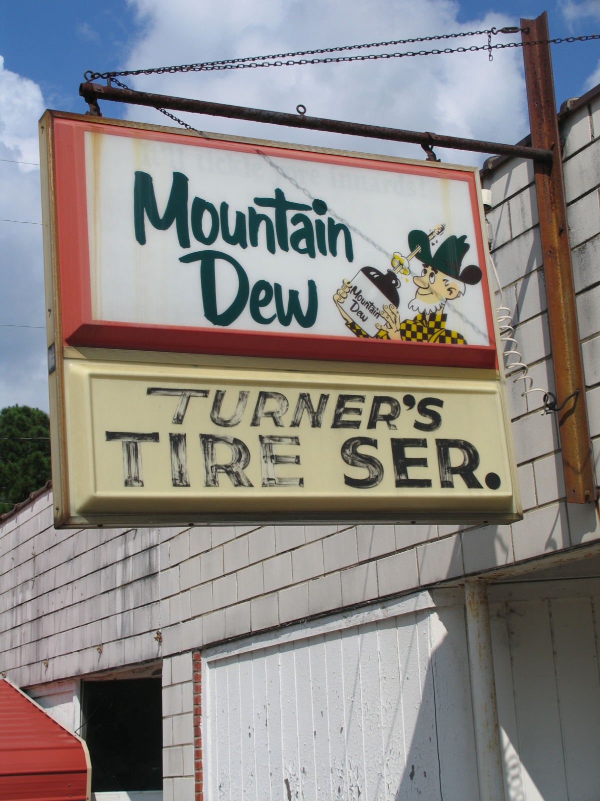
Early Mountain Dew Ad - Turner's Tire Service

Carolyn Court - Plenty of Vacancies
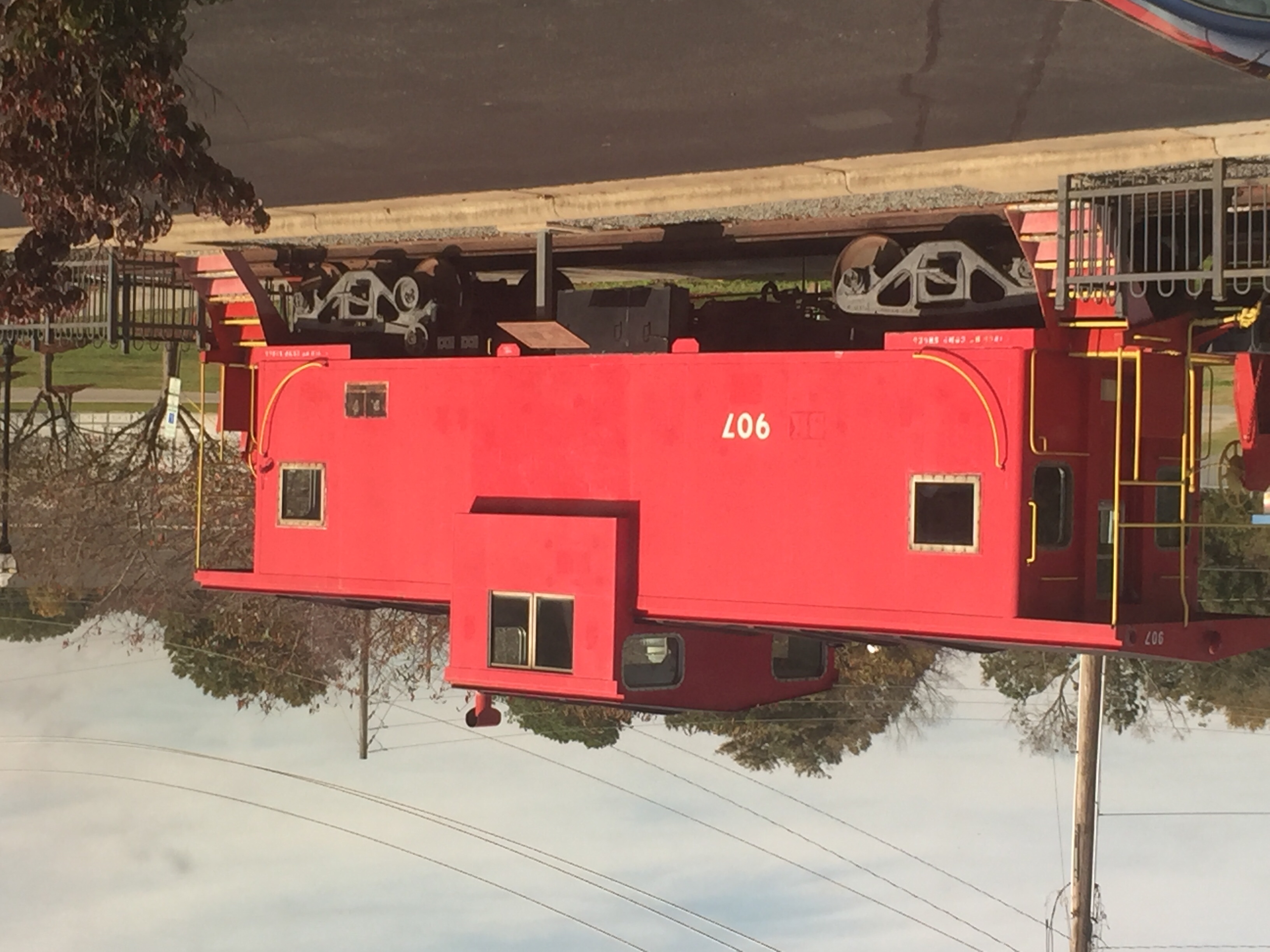
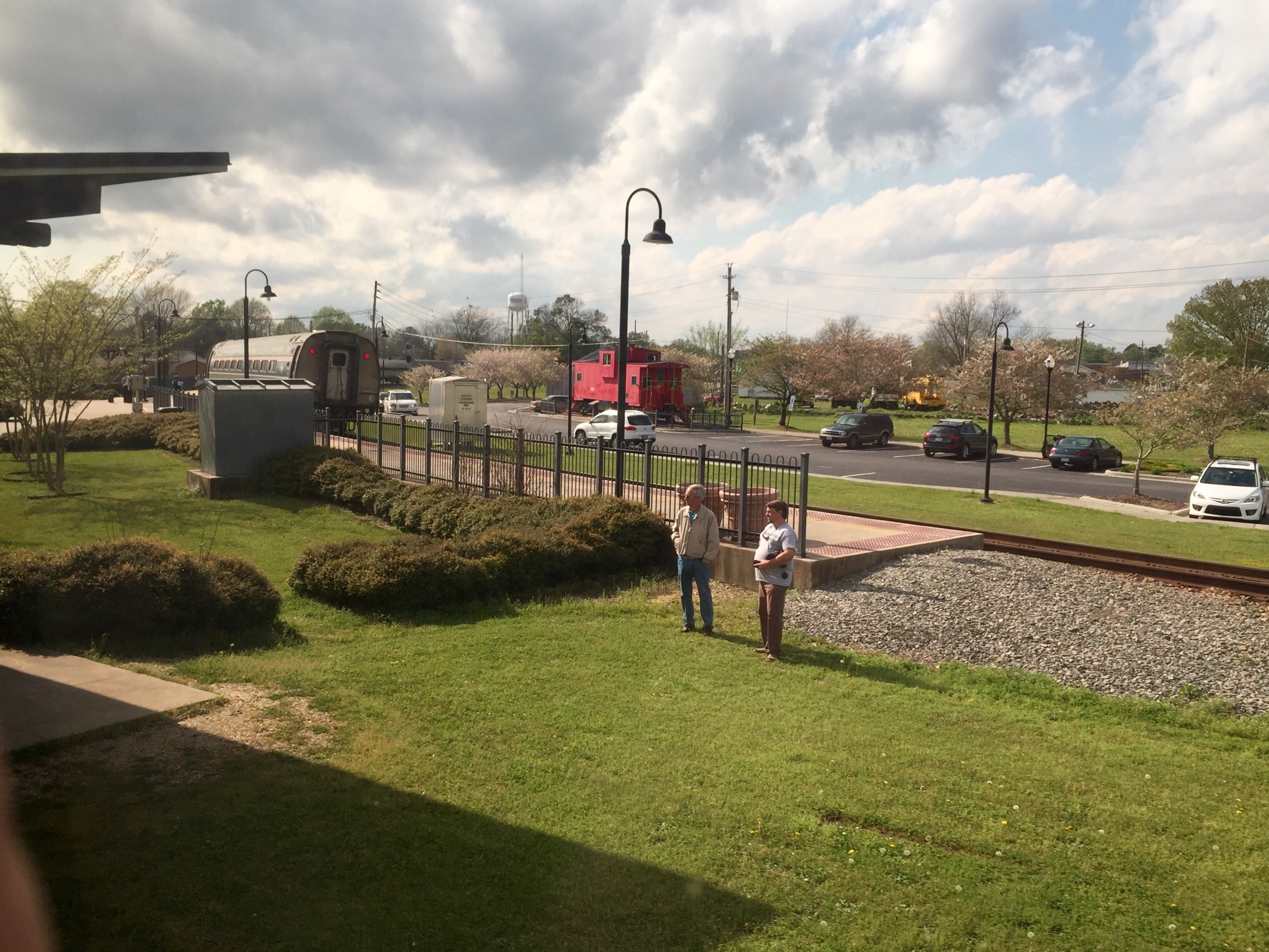
Selma NC: Static Display
Rain distorting the locomotive image

North Carolina: Selma, Atlantic Coast Line
Selma NC: #79, The Westbound Carolinian, says "Good Bye" for today
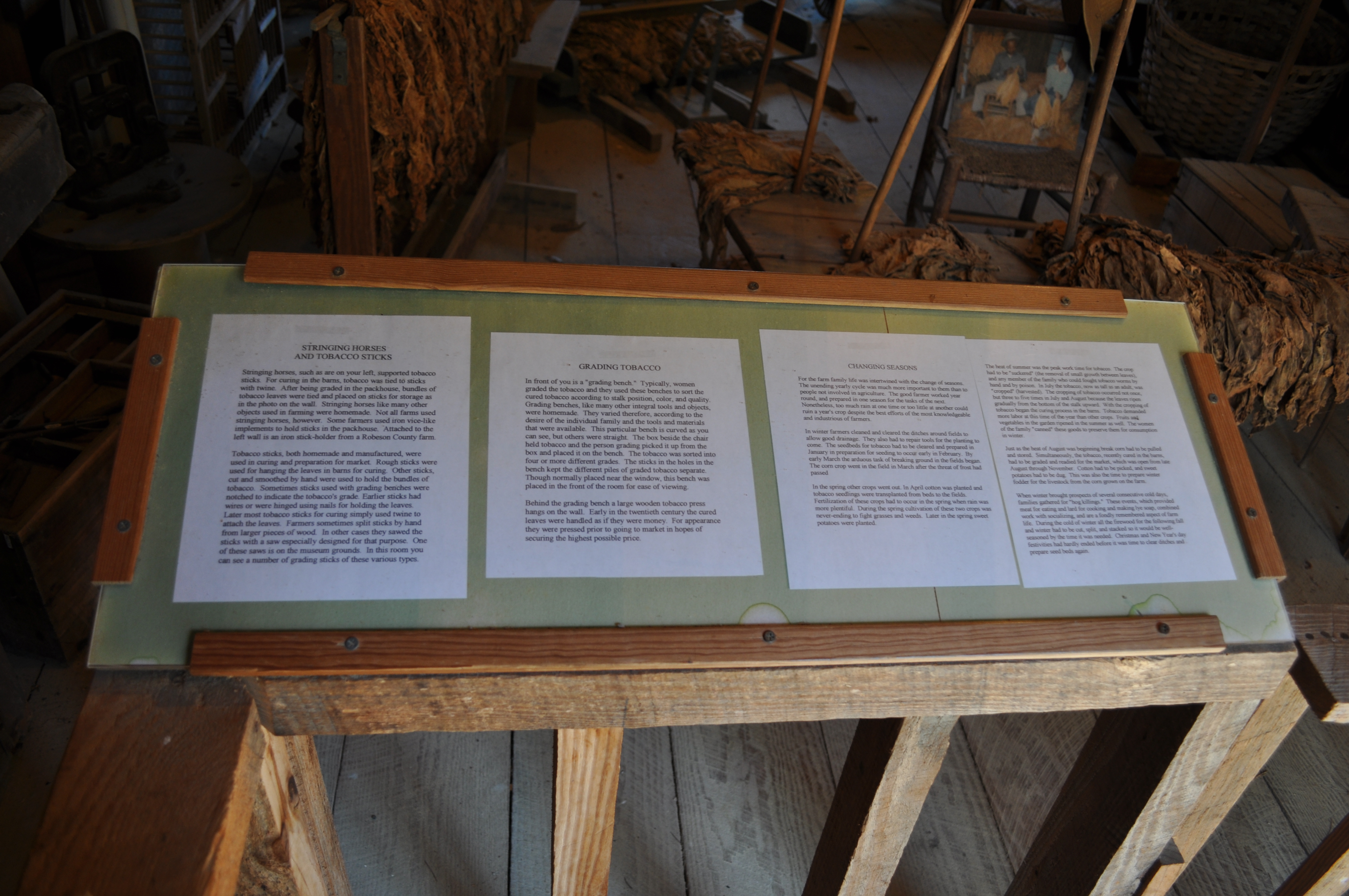
1512 Stringing Horses and Tobacco Sticks Img_19665
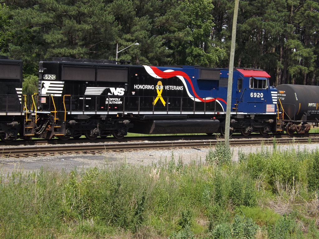
Thanks NS for acknowledging
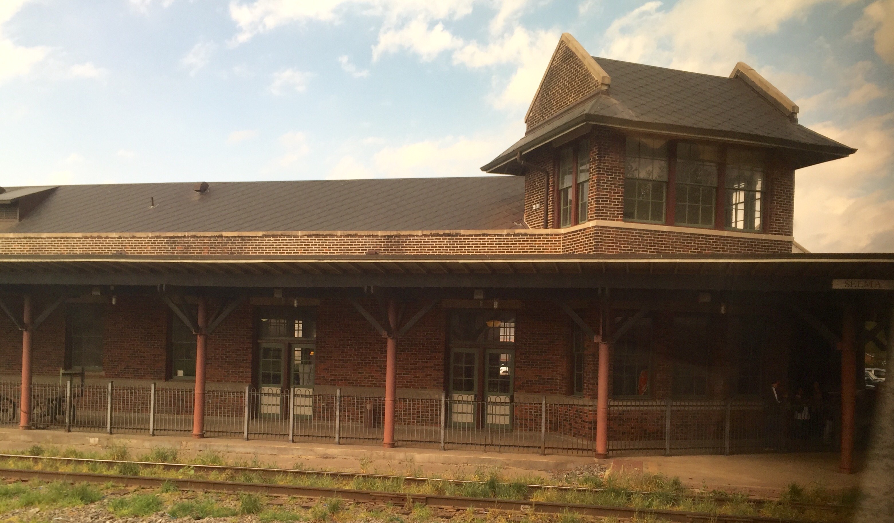
Selma NC : ACL/Southern Station
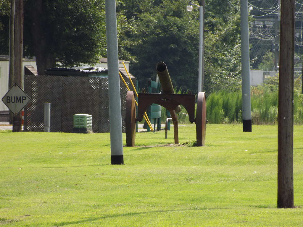
Log or Timber Arch Cannon
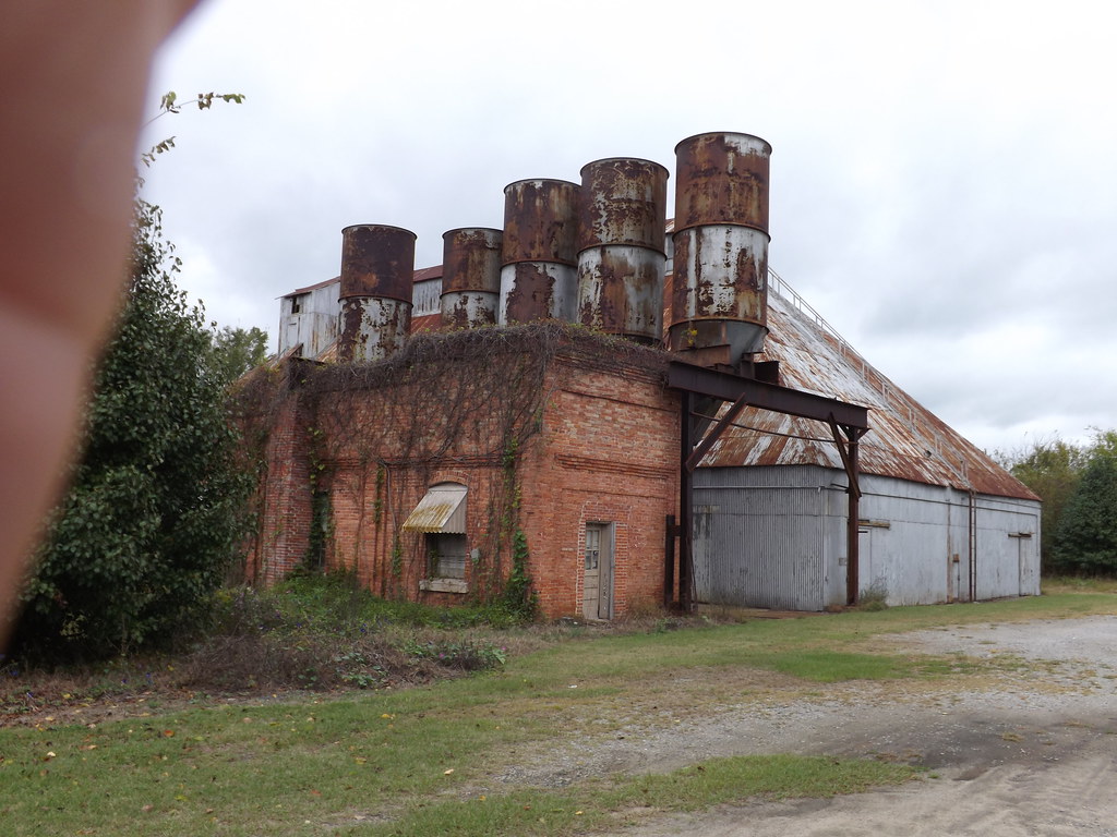
Pine Level Grain(?)
Carolyn Court
Charles R. Jones Cemetery North

Pine View Motel, Kenly, NC
Carolyn Court
Passing through Kenley NC

Pine View Motel, Kenly, NC

Rainbow center
8-6-2006-24

The Town of Pikeville

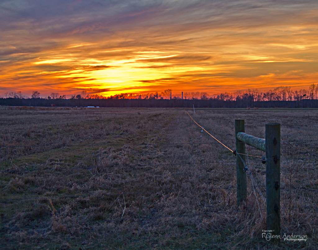
Colorful Sunrise
IT'S ELECTRIC
Neuse River - 041513-123441-RGA

Britt Farmall

Cloud filled sunrise
Quick Photos From the Neuse River Expedition

A few quick Neuse River Pictures
Ag Research Facility

Dead Tree.
Tar River
Picture 010
notched dam pit antenna
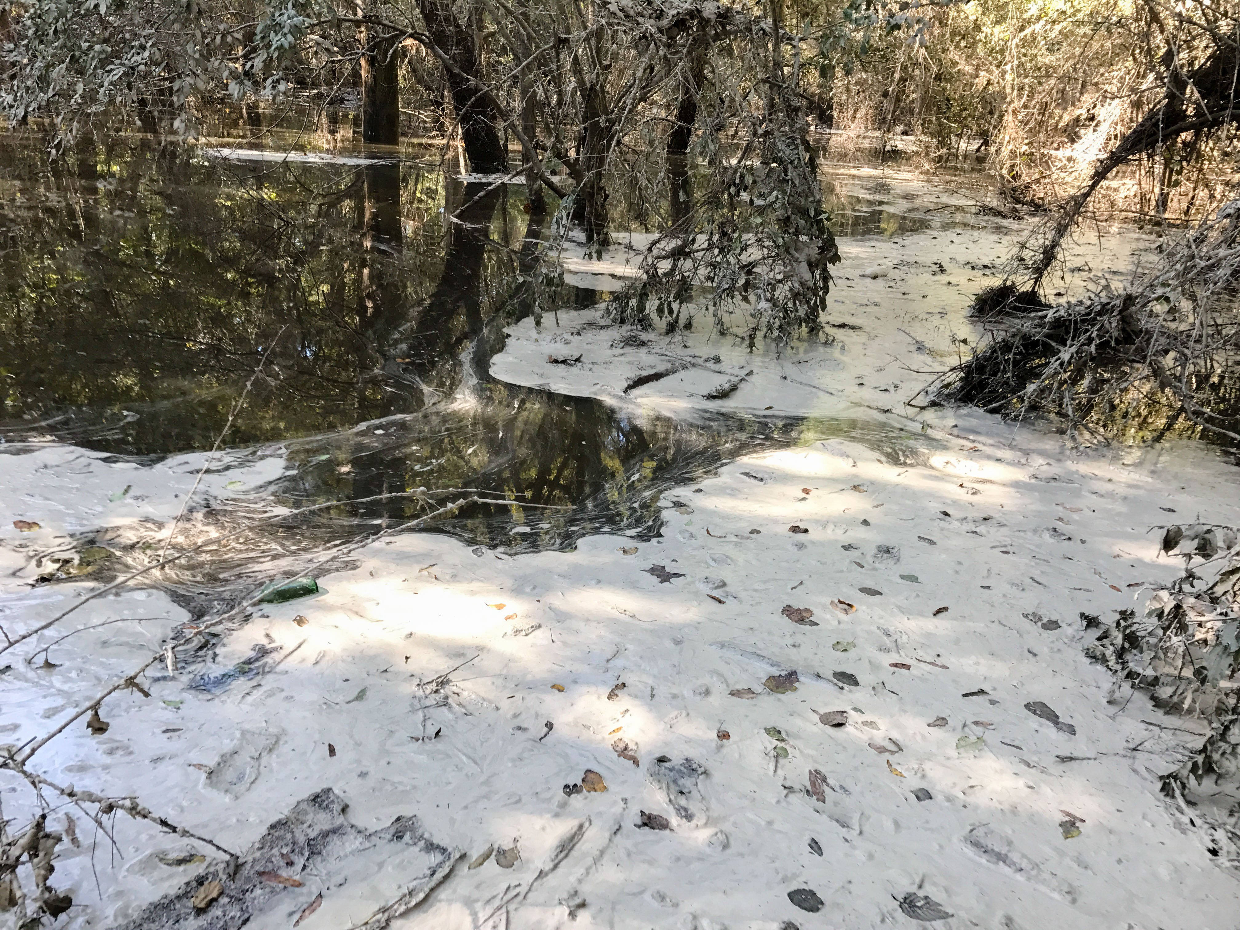
HF Lee Coal Ash Spill Photo 8 - 10.17.16

HF Lee Coal Ash Spill Photo 9 - 10.17.16
Topographic Map of Gurleys Mill Rd, Princeton, NC, USA
Find elevation by address:

Places near Gurleys Mill Rd, Princeton, NC, USA:
Princeton
7394 Hickory Crossroads Rd
Boon Hill
77 Lightwood Circle
Brogden Road & Buckleberry Road
Brogden Road & Buckleberry Road
Brogden Road & Buckleberry Road
325 State Rd 2541
Fork
438 State Rd 2541
500 Buckleberry Rd
111 Radford Dr
Buck Swamp
1199 Black Jack Church Rd
Steven's Chapel Rd, Smithfield, NC, USA
3280 Us-70
7185 Brogden Rd
Creech's Mill Rd, Smithfield, NC, USA
Stevens Mill Rd, Goldsboro, NC, USA
1600 Grabtown Rd
Recent Searches:
- Elevation of Vista Blvd, Sparks, NV, USA
- Elevation of 15th Ave SE, St. Petersburg, FL, USA
- Elevation of Beall Road, Beall Rd, Florida, USA
- Elevation of Leguwa, Nepal
- Elevation of County Rd, Enterprise, AL, USA
- Elevation of Kolchuginsky District, Vladimir Oblast, Russia
- Elevation of Shustino, Vladimir Oblast, Russia
- Elevation of Lampiasi St, Sarasota, FL, USA
- Elevation of Elwyn Dr, Roanoke Rapids, NC, USA
- Elevation of Congressional Dr, Stevensville, MD, USA