Elevation of Mar-Mac, NC, USA
Location: United States > North Carolina > Wayne County > Brogden >
Longitude: -78.055823
Latitude: 35.3348849
Elevation: 34m / 112feet
Barometric Pressure: 101KPa
Elevation Map:
Satellite Map:
Related Photos:

Time to Fly!!

Beautiful Life

Rainbow center
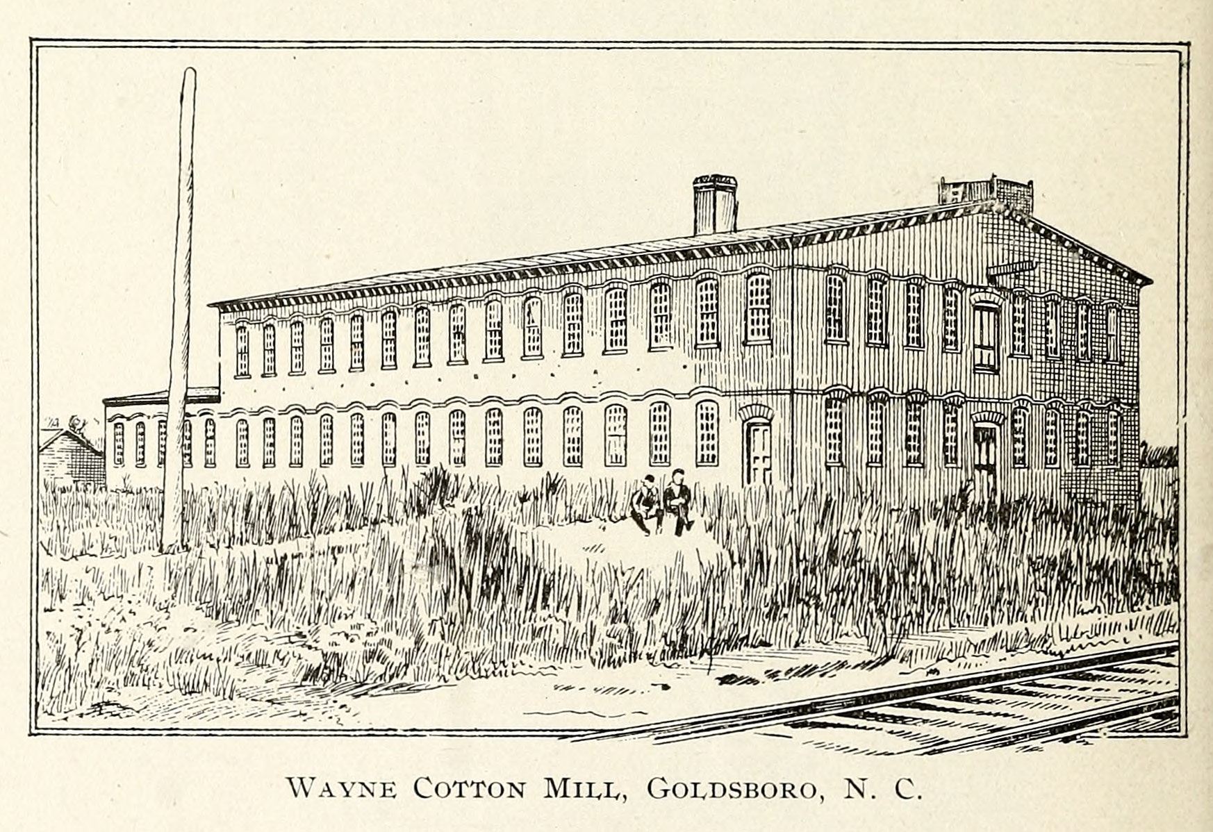
Wayne Cotton Mill, Goldsboro, NC

Side View Of Powers Quadzilla Carnival Ride.

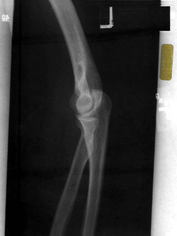
X-ray 3
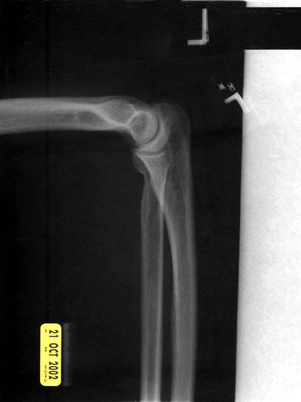
X-ray 2
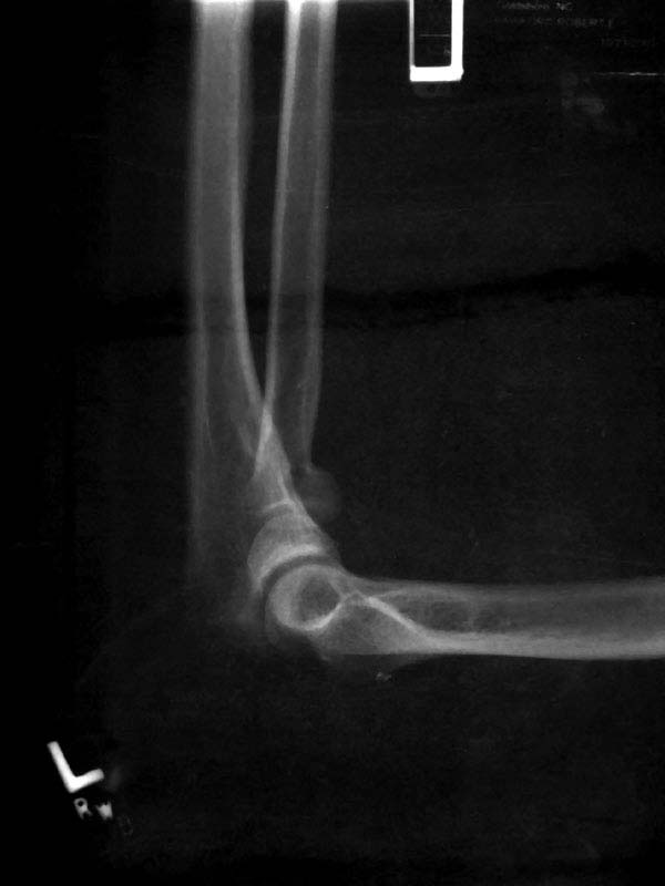
X-ray 1

Sculptures From The Past
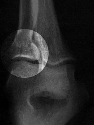
X-ray 3, highlighted

Willow Dale Cemetery
X-ray 4

SKY - HDR
right side view
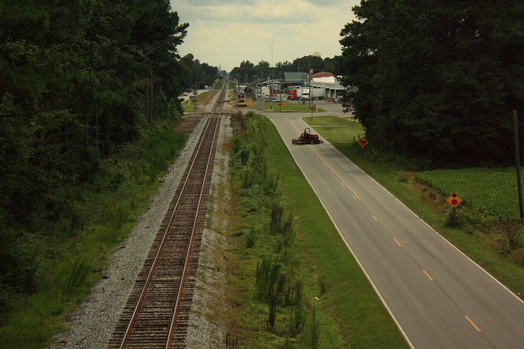
Rail Road Village
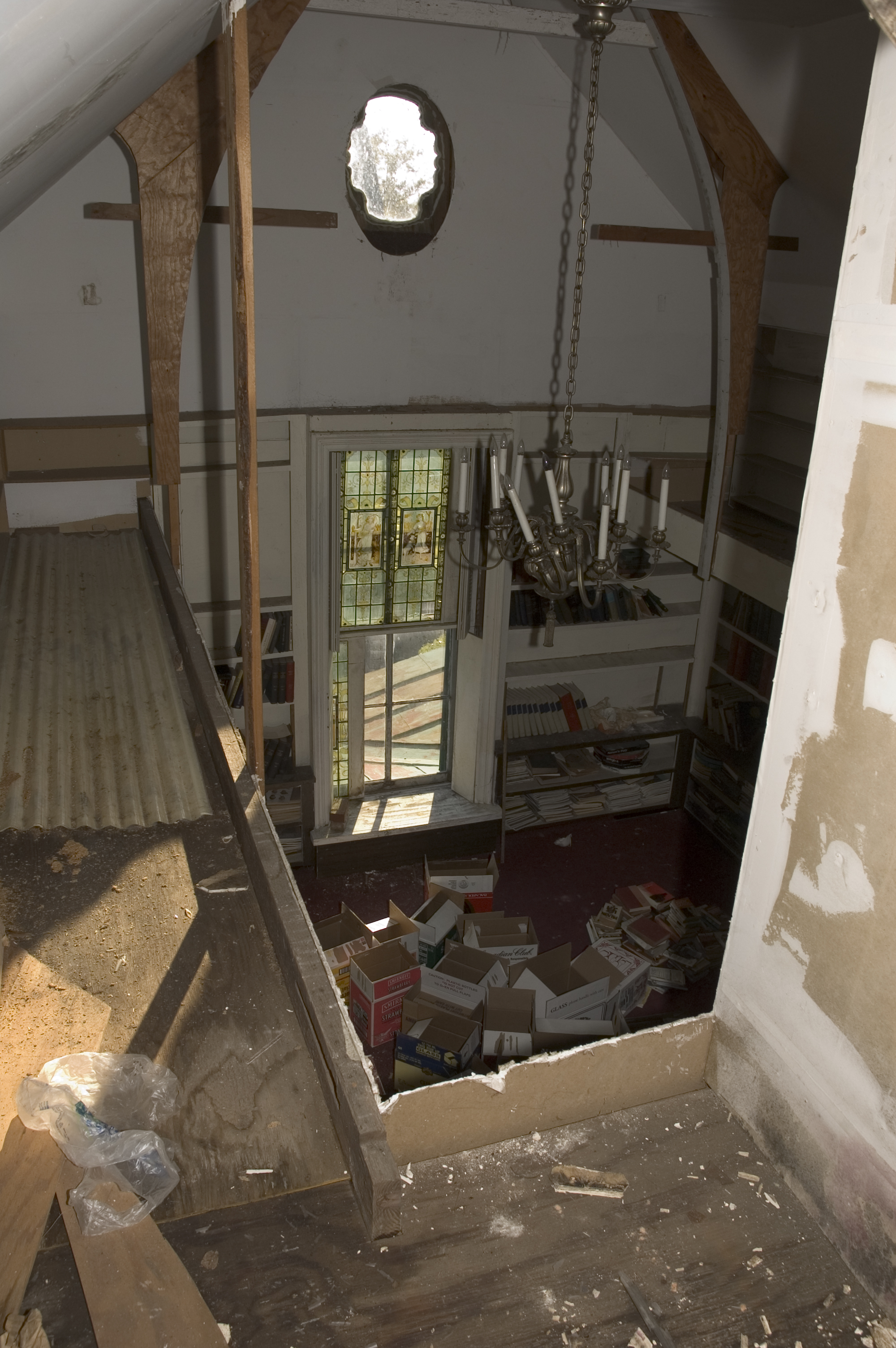
library view from the mezzanine
library view from the mezzanine
A panoramic view of the flooded front yard

Laurel's soy-milk box helmet

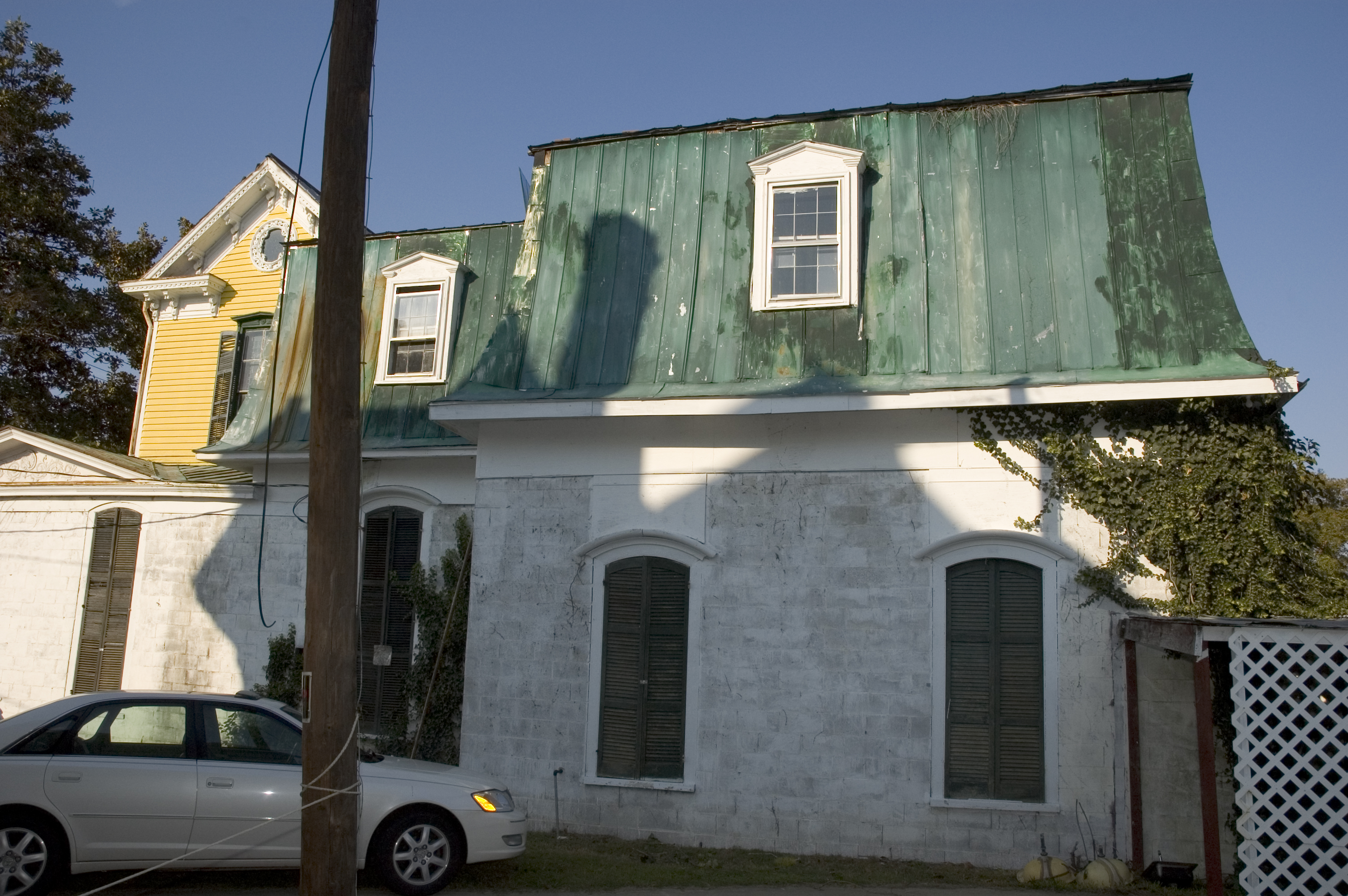
A dormer with a view.

Branch in front yard

Colorful Sunrise

Britt Farmall
IT'S ELECTRIC
Neuse River - 041513-123441-RGA
Swamp near Neuse River
Raindrops - 040513-103635-RGA

Dead Tree.
J&J Rental
Quick Photos From the Neuse River Expedition
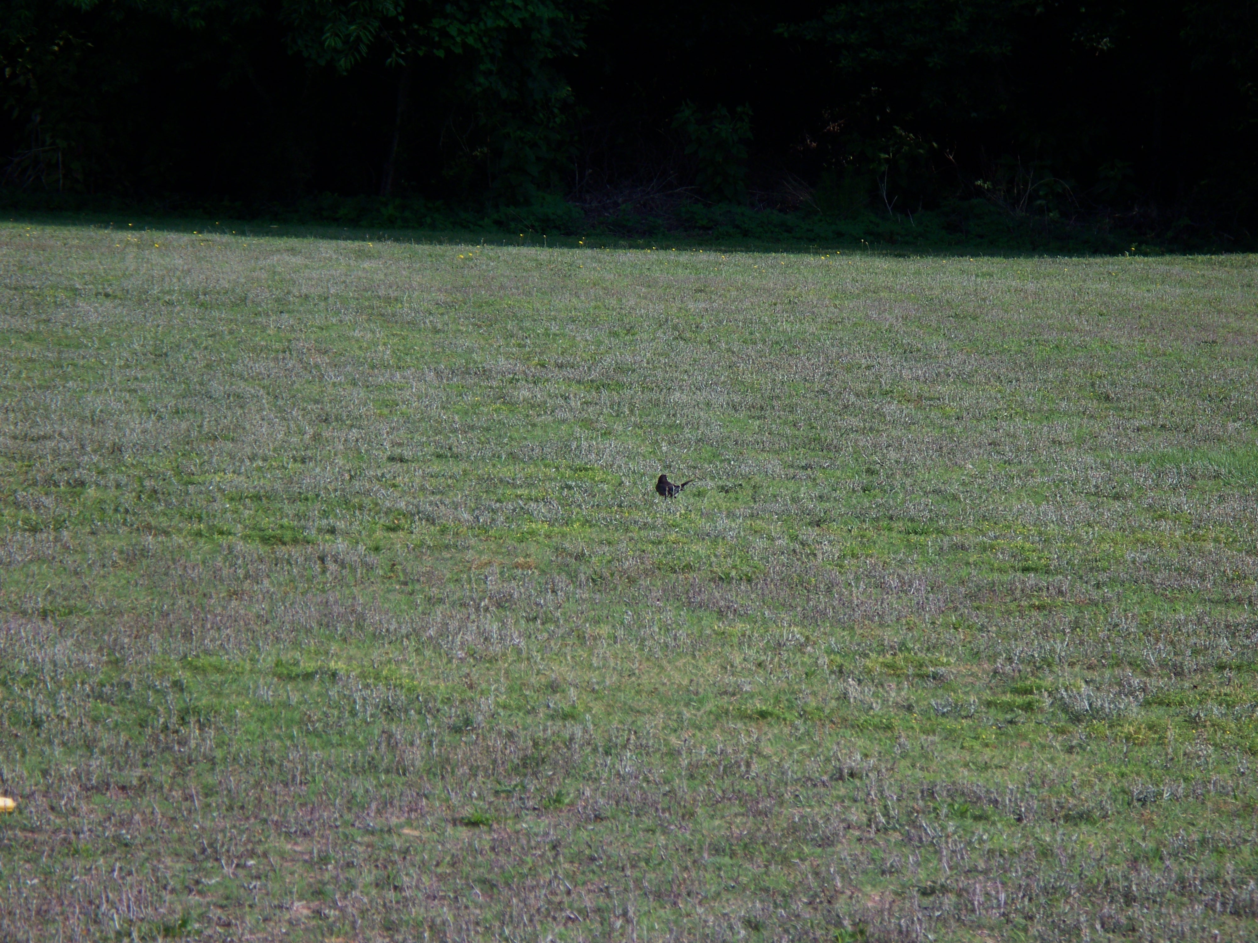
Bird walking across the grass

A few quick Neuse River Pictures

Frosty Morning
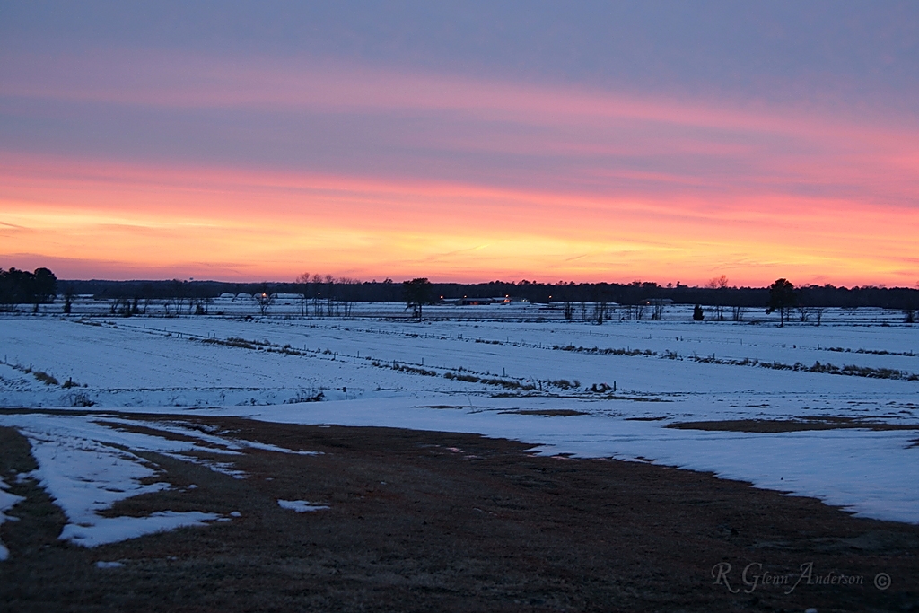
Winter Sunset

First Roll Of TMax 100
Picture 010
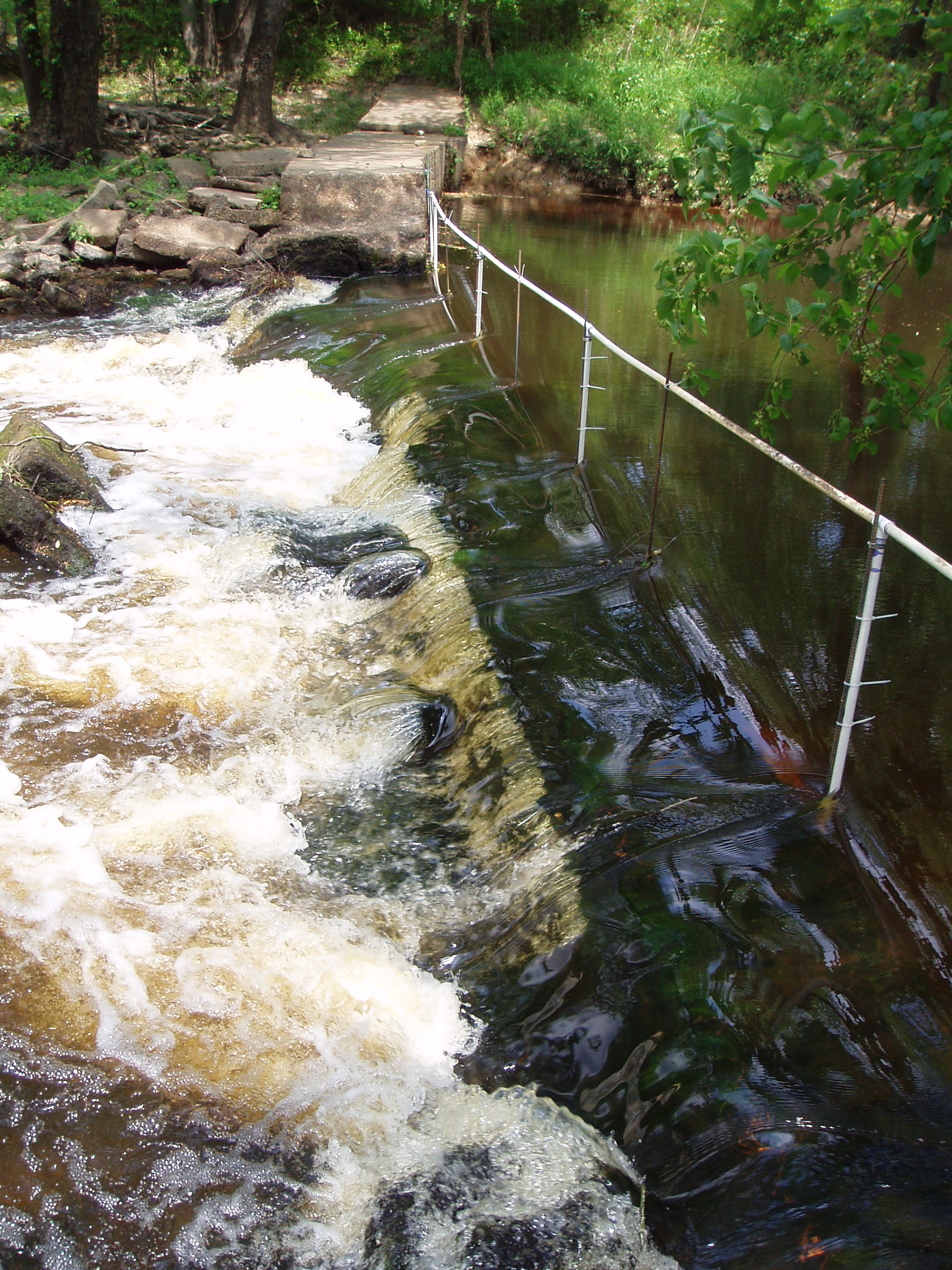
notched dam
Morgan Waypoint 003A
notched dam pit antenna
20151110-RD-LSC-0647
20151110-RD-LSC-0645

Morgan Waypoint 001A
Topographic Map of Mar-Mac, NC, USA
Find elevation by address:

Places in Mar-Mac, NC, USA:
Places near Mar-Mac, NC, USA:
1223 Old Grantham Rd
1199 Black Jack Church Rd
111 Nicole Cir
Stevens Mill Rd, Goldsboro, NC, USA
111 Radford Dr
Fork
500 Buckleberry Rd
325 State Rd 2541
438 State Rd 2541
Brogden Road & Buckleberry Road
Brogden Road & Buckleberry Road
Brogden Road & Buckleberry Road
Buck Swamp
555 Gurleys Mill Rd
Boon Hill
Princeton
7394 Hickory Crossroads Rd
77 Lightwood Circle
Steven's Chapel Rd, Smithfield, NC, USA
7185 Brogden Rd
Recent Searches:
- Elevation of Corso Fratelli Cairoli, 35, Macerata MC, Italy
- Elevation of Tallevast Rd, Sarasota, FL, USA
- Elevation of 4th St E, Sonoma, CA, USA
- Elevation of Black Hollow Rd, Pennsdale, PA, USA
- Elevation of Oakland Ave, Williamsport, PA, USA
- Elevation of Pedrógão Grande, Portugal
- Elevation of Klee Dr, Martinsburg, WV, USA
- Elevation of Via Roma, Pieranica CR, Italy
- Elevation of Tavkvetili Mountain, Georgia
- Elevation of Hartfords Bluff Cir, Mt Pleasant, SC, USA