Elevation of Old Grantham Rd, Goldsboro, NC, USA

Location: United States > North Carolina > Wayne County > Brogden > Mar-mac >

Longitude: -78.075199

Latitude: 35.3329584

Elevation: 52m / 171feet

Barometric Pressure: 101KPa

Elevation Map:

elevation map of Old Grantham Rd, Goldsboro, NC, USA

Satellite Map:

Satellite map of Old Grantham Rd, Goldsboro, NC, USA

Related Photos:

Raw Power
F-35A Lightning II Demo Team
northcarolina waynecounty goldsboronorthcarolina nationalregisterofhistoricplaces 1875 henryweil henryweilhouse jewish germanimmigrant italianatestyle
North Carolina, Goldsboro, Henry Weil House
northcarolina waynecounty goldsboronorthcarolina nationalregisterofhistoricplaces 1875 solomonweil solomonweilhouse jewish germanimmigrant italianatestyle
North Carolina, Goldsboro, Solomon Weil House
© northcarolina airshow vacationtime usafthunderbirds garyburke seymourjohnsonafb zuiko50200mmswd olympuse620 wingsoverwayne2011
Time to Fly!!
favorites 2016 northcarolina goldsboro waynecounty nc44 us70 500views
East NC 44
northcarolina waynecounty goldsboronorthcarolina nationalregisterofhistoricplaces 1875 henryweil henryweilhouse jewish germanimmigrant italianatestyle
North Carolina, Goldsboro, Henry Weil House
2016 us70 northcarolina signs interstate795 i795 us117 goldsboro waynecounty favorites nc44 500views
Goldsboro Bypass Exit 355
northcarolina waynecounty goldsboronorthcarolina nationalregisterofhistoricplaces 1875 solomonweil solomonweilhouse jewish germanimmigrant italianatestyle
North Carolina, Goldsboro, Solomon Weil House
industry northcarolina textile cotton mills factories goldsboro manufacturing waynecounty ncpedia
Wayne Cotton Mill, Goldsboro, NC
rainbow
Rainbow center
2016 northcarolina goldsboro waynecounty nc44 us70 nc581 signs favorites 500views
Goldsboro Bypass Exit 351
2011 northcarolina nc44 waynecounty goldsborobypass signs i795 interstate795 us117 favorites 500views
Which way should I go?
2011 northcarolina nc44 waynecounty goldsborobypass signs i795 interstate795 favorites 500views
Current West End of NC 44 at I-795
2011 northcarolina nc44 waynecounty goldsborobypass signs milemarker i795 us117 interstate795 favorites 500views
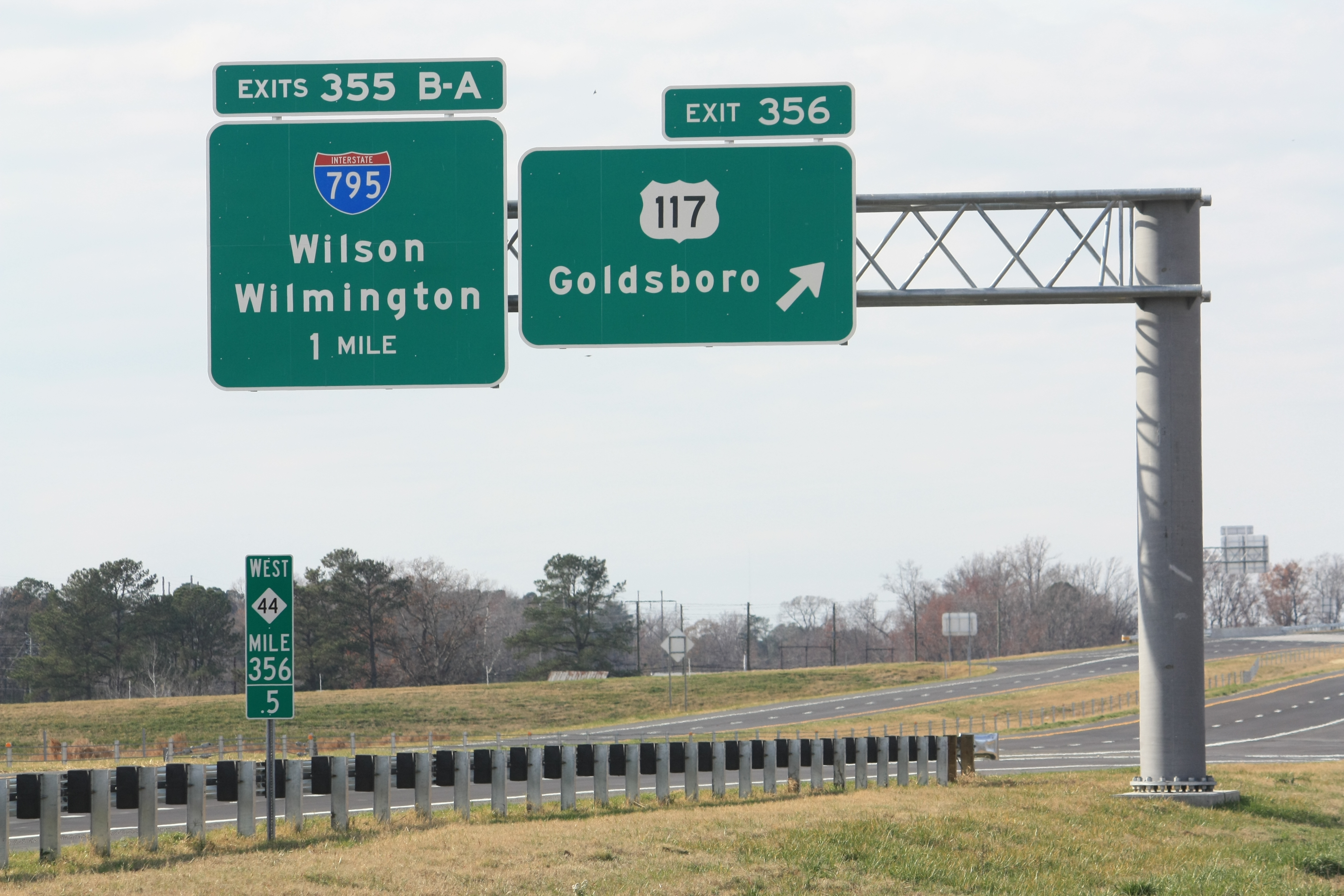
NC 44 West - Exits 356 and 355B-A
2011 northcarolina nc44 waynecounty goldsborobypass signs interstate795 i795 us117 favorites 500views
Newly opened Exit 22 on I-795 South
2010 northcarolina canonxsi goldsboro smalltowns neonsigns storefronts waynecounty 500views favorites
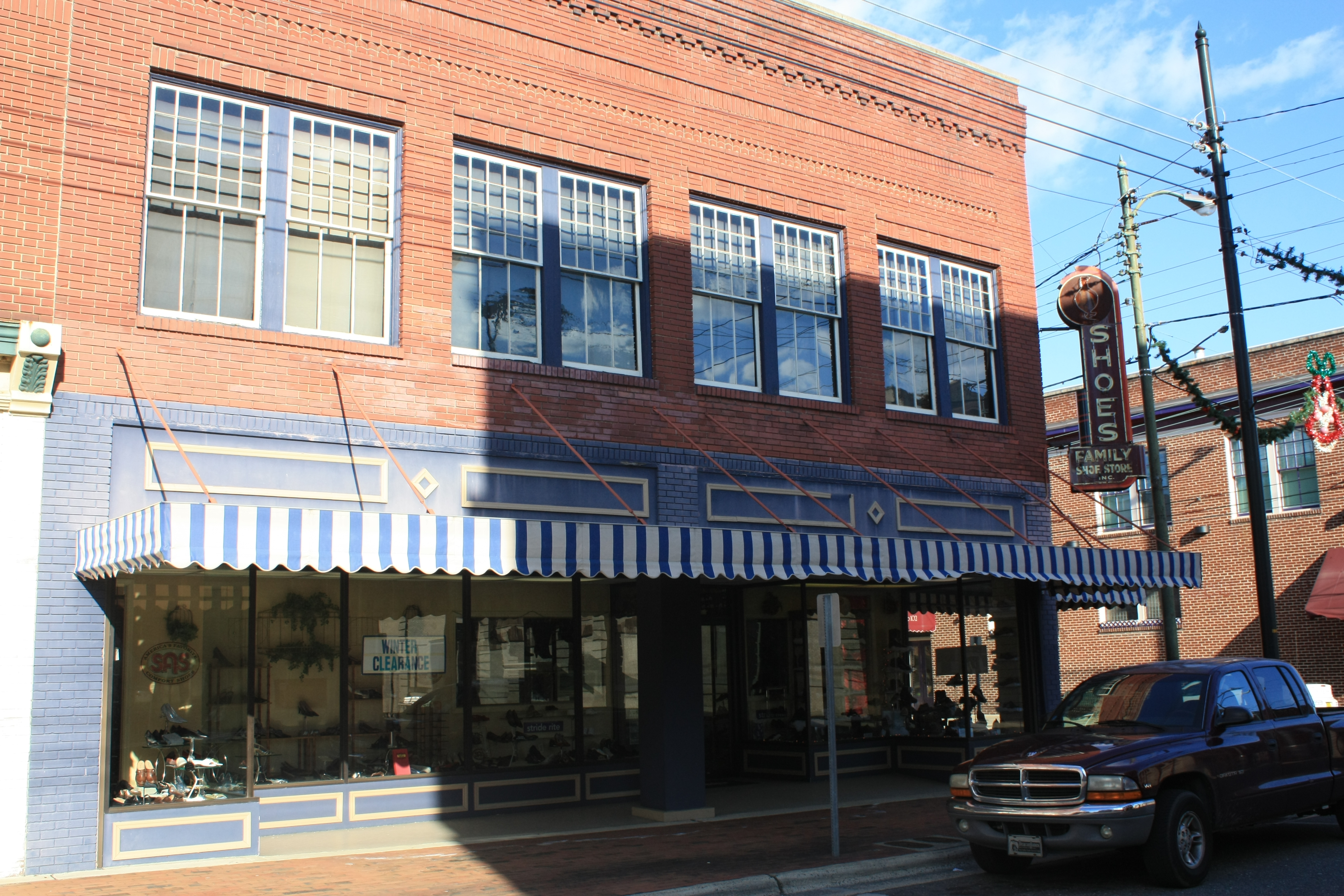
Family Shoe Store - Goldsboro, NC
carnival festival fun nc northcarolina fair entertainment dudley rides midway countyfair goldsboro carnivalrides amusementrides communityevent thrillrides fairrides waynecountyfair amusementdevice mechanicalrides powersgreatamericanmidways pgam wayneregionalagriculturalfair powerscarnival
Side View Of Powers Quadzilla Carnival Ride.
2011 northcarolina nc44 waynecounty goldsborobypass signs us117 500views
NC 44 East - Exit 356
2011 northcarolina nc44 waynecounty goldsborobypass signs us117 500views
US 117 to Goldsboro
1571 Goldsboro Img_19724
red lake water clouds sunrise pond frost cattail a850
Colorful Sunrise
field farm hay britt farmall lifegroup
Britt Farmall
reflection water bluesky flowing littleriver neuseriver d600 leavestrees spingcolors
Neuse River - 041513-123441-RGA
superior reap waste department rd departmentofagriculture usdepartmentofagriculture ruraldevelopment control” cafo technology” “animal treatment” “environmentally recovery” separation” “swine “odor reactor” agricultureus usdadepartment agricultureusda abatement” gasifier” “methane renewableenergyforamericaprogram “solidliquid “phosphorus “endothermic “nitrificationdenitrification” wastewater” “ammonia
20151110-RD-LSC-0647
superior reap waste department rd departmentofagriculture usdepartmentofagriculture ruraldevelopment control” cafo technology” “animal treatment” “environmentally recovery” separation” “swine “odor reactor” agricultureus usdadepartment agricultureusda abatement” gasifier” “methane renewableenergyforamericaprogram “solidliquid “phosphorus “endothermic “nitrificationdenitrification” wastewater” “ammonia
20151110-RD-LSC-0645
hurricanematthew northcarolina matthew carolina waterkeeperalliance neuseriver neuseriverkeeper waterkeepers riverkeeper riverkeepers hurricane pollution water coalash coalpollution flyash waterpollutionwkacleanwaterenviroenvironmentaldukeenergy dukeenergy hflee soundrivers spill cenosphere aerial flood goldsboro dukepower ashpond
HF Lee Coal Ash Spill Photo 8 - 10.17.16
hurricanematthew northcarolina matthew carolina waterkeeperalliance neuseriver neuseriverkeeper waterkeepers riverkeeper riverkeepers hurricane pollution water coalash coalpollution flyash waterpollutionwkacleanwaterenviroenvironmentaldukeenergy dukeenergy hflee soundrivers spill cenosphere aerial flood goldsboro dukepower ashpond
HF Lee Coal Ash Spill Photo 9 - 10.17.16
sunset electric fence post pasture a850
IT'S ELECTRIC
water refraction droplet greenery shrub raindrop d600 naturallens
Raindrops - 040513-103635-RGA
winter sunset red orange snow reflection yellow clouds landscape glow a850
Winter Sunset
fish pit antenna telemetry passiveintegratedtransponder
notched dam pit antenna
flowers sunset unitedstates northcarolina backlit goldsboro goldsboronc maxstansellphotography
Sunset Flowers
fish pit antenna telemetry passiveintegratedtransponder
notched dam
elementsorganizer
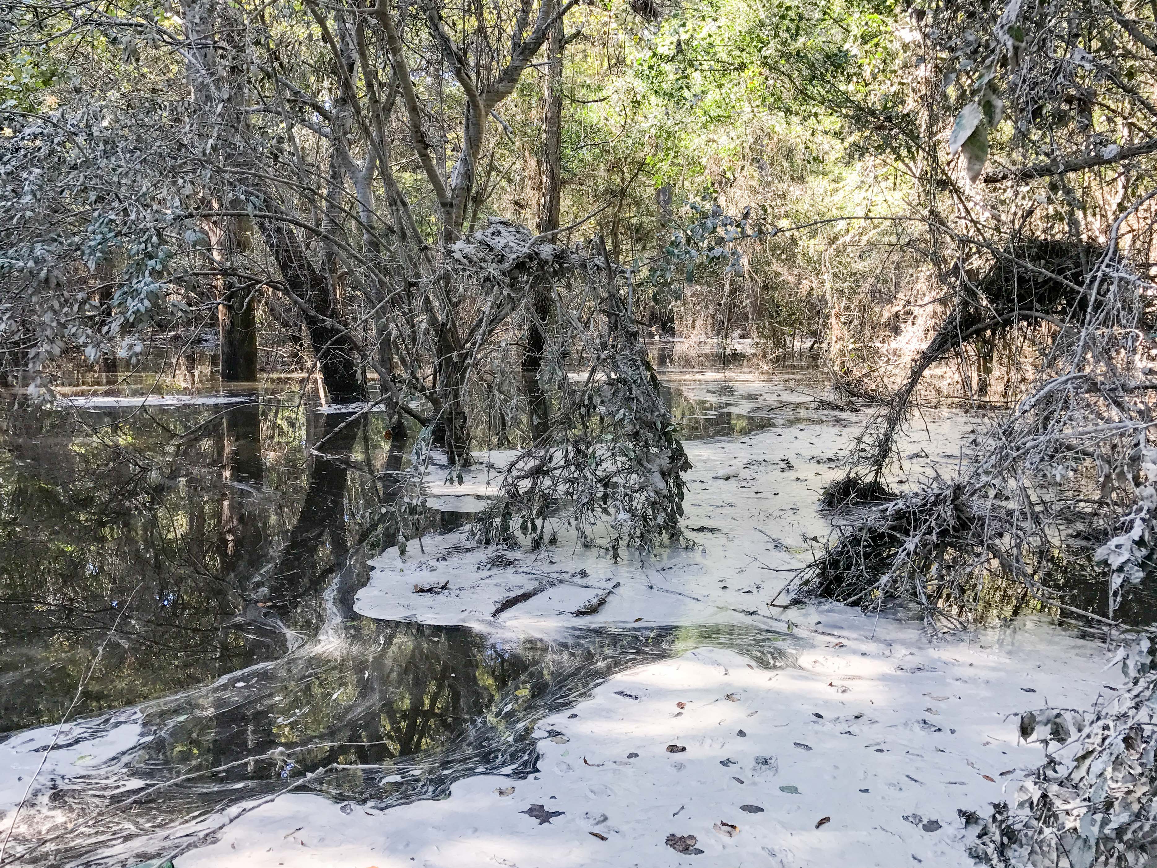
Swamp near Neuse River
river photojournalism smithfield neuseriver studentpictures smithfieldmiddleschool
Wardah's waypoint1
A few quick Neuse River Pictures
Quick Photos From the Neuse River Expedition
Dead Tree.
Morgan Waypoint 001A
Morgan Waypoint 003A
red tree green leaf bush berry frost holy a850
Frosty Morning