Elevation of Steamshovel Rd, Richlands, NC, USA
Location: United States > North Carolina > Onslow County > Richlands > Richlands >
Longitude: -77.619706
Latitude: 34.9180384
Elevation: 18m / 59feet
Barometric Pressure: 101KPa
Elevation Map:
Satellite Map:
Related Photos:

Sunrise over soybeans
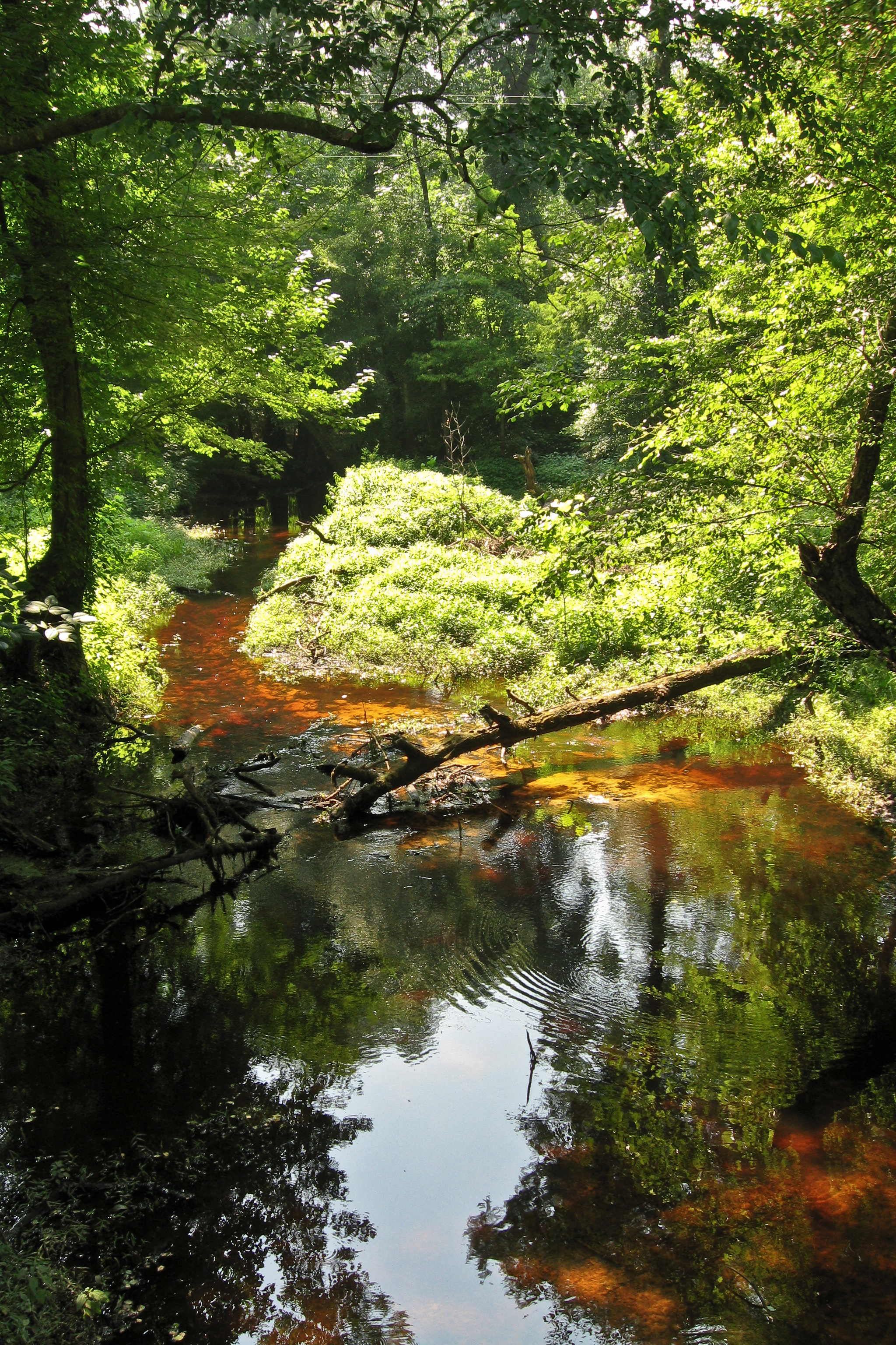
Tuckahoe Creek

the flick

North Carolina

Music is LOVE

The LQQK

Fishing for the first time as...

Cotton Field

GETTING MARRIED STINKS

Will u marry me?

OPPS I drop YOUR ring

BLUE MOON

LOCKED IN LOVE

Bonnie & Sonny

Braid and ponytail (her idea) with a wink

1956 Corvette

The Moon

V22 Osprey

Green Lynx Spider

Wild Strawberry
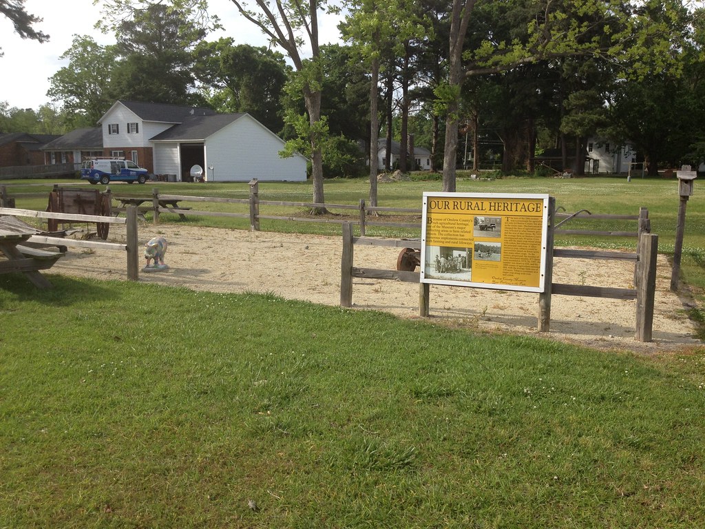
Our Rural Heritage, Richlands, NC
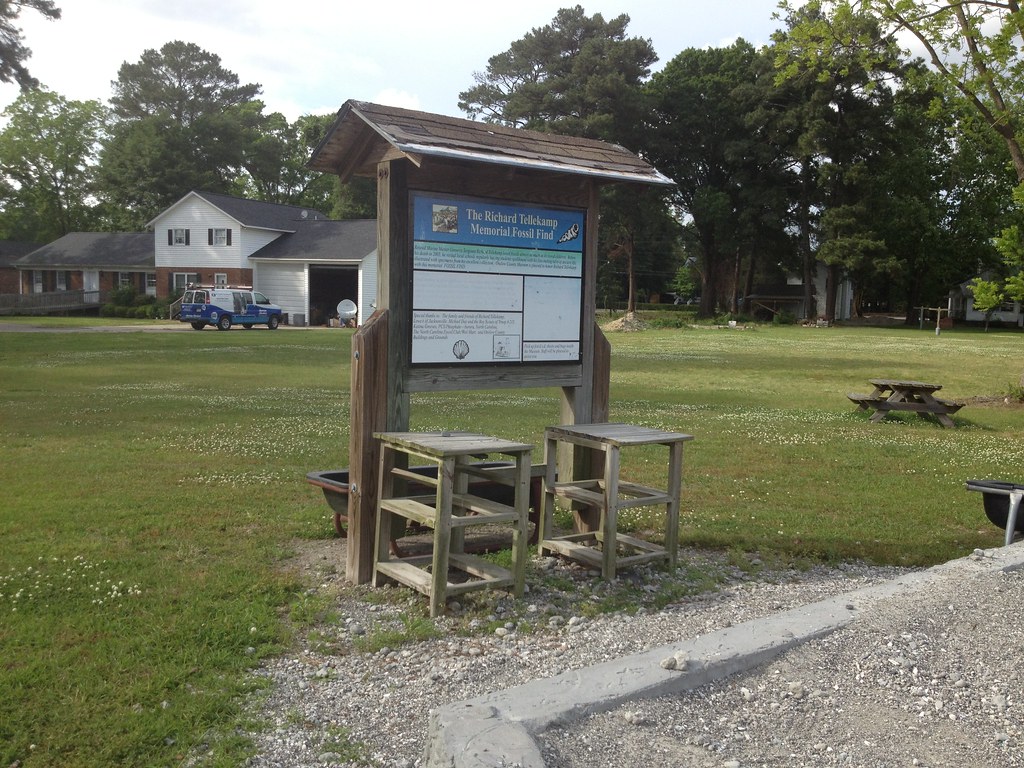
Richard Tellekamp Memorial Fossil Find, Richlands, NC
Topographic Map of Steamshovel Rd, Richlands, NC, USA
Find elevation by address:

Places near Steamshovel Rd, Richlands, NC, USA:
401 Haw Branch Rd
Haw Branch Rd, Richlands, NC, USA
319 Shadyrock Path
104 Hinson Ln
306 Snow Bell Ct
Huffmantown Rd, Richlands, NC, USA
223 Wingspread Ln
263 Koonce Fork Rd
Richlands
163 Christy Dr
8405 Richlands Hwy
Camellia Creek Drive
Richlands
7049 Richlands Hwy
108 Hotel Branch Ln
3088 Catherine Lake Rd
3214 Catherine Lake Rd
3204 Catherine Lake Rd
3236 Catherine Lake Rd
309 Winstead Loop Rd
Recent Searches:
- Elevation of Bydgoszcz, Poland
- Elevation of Bydgoszcz, Poland
- Elevation of Calais Dr, Del Mar, CA, USA
- Elevation of Placer Mine Ln, West Jordan, UT, USA
- Elevation of E 63rd St, New York, NY, USA
- Elevation of Elk City, OK, USA
- Elevation of Erika Dr, Windsor, CA, USA
- Elevation of Village Ln, Finleyville, PA, USA
- Elevation of 24 Oakland Rd #, Scotland, ON N0E 1R0, Canada
- Elevation of Deep Gap Farm Rd E, Mill Spring, NC, USA