Elevation of Haw Branch Rd, Richlands, NC, USA
Location: United States > North Carolina > Onslow County > Richlands > Richlands >
Longitude: -77.629011
Latitude: 34.936436
Elevation: 21m / 69feet
Barometric Pressure: 101KPa
Elevation Map:
Satellite Map:
Related Photos:

Sunrise over soybeans
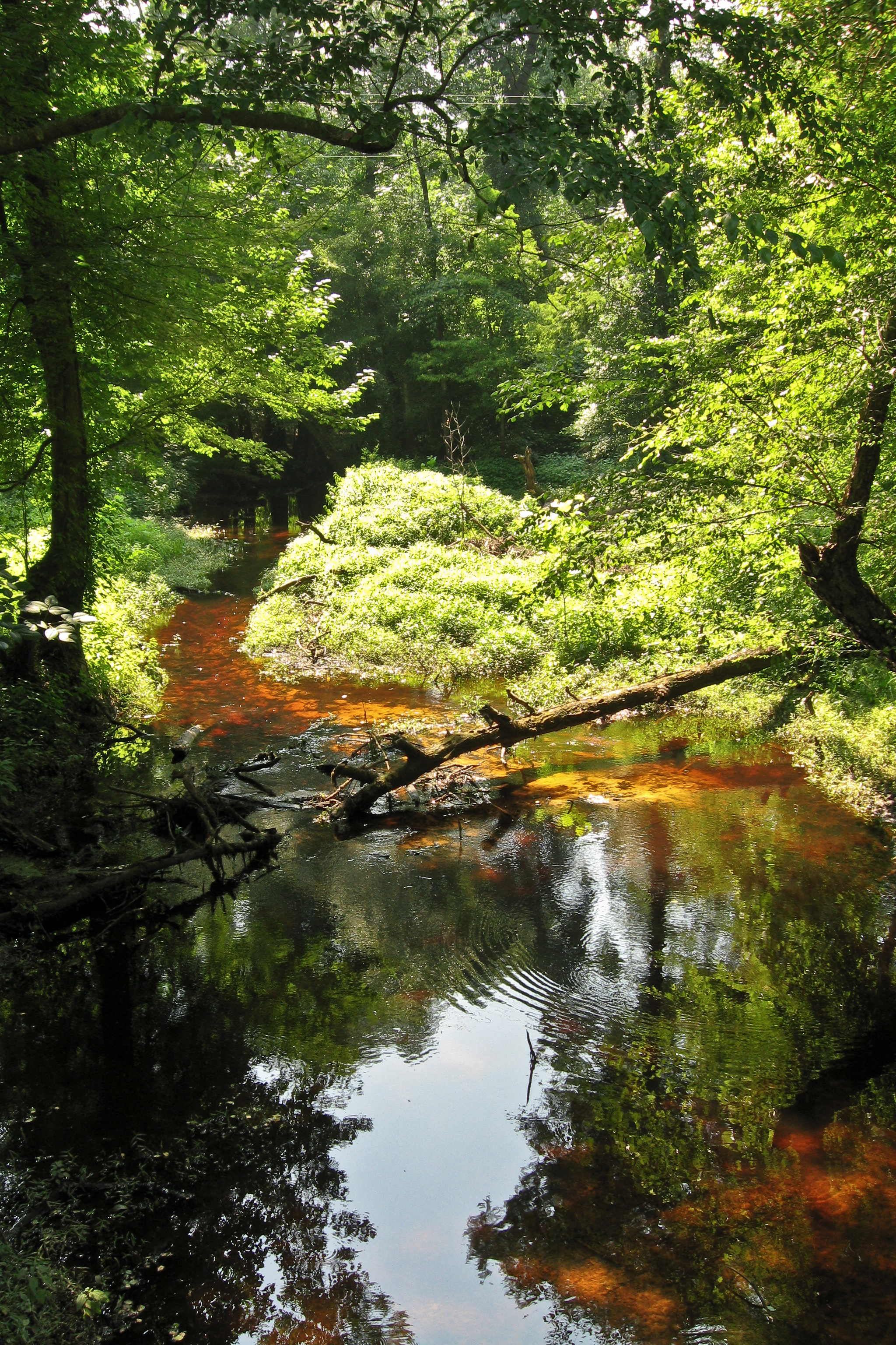
Tuckahoe Creek

Will u marry me?
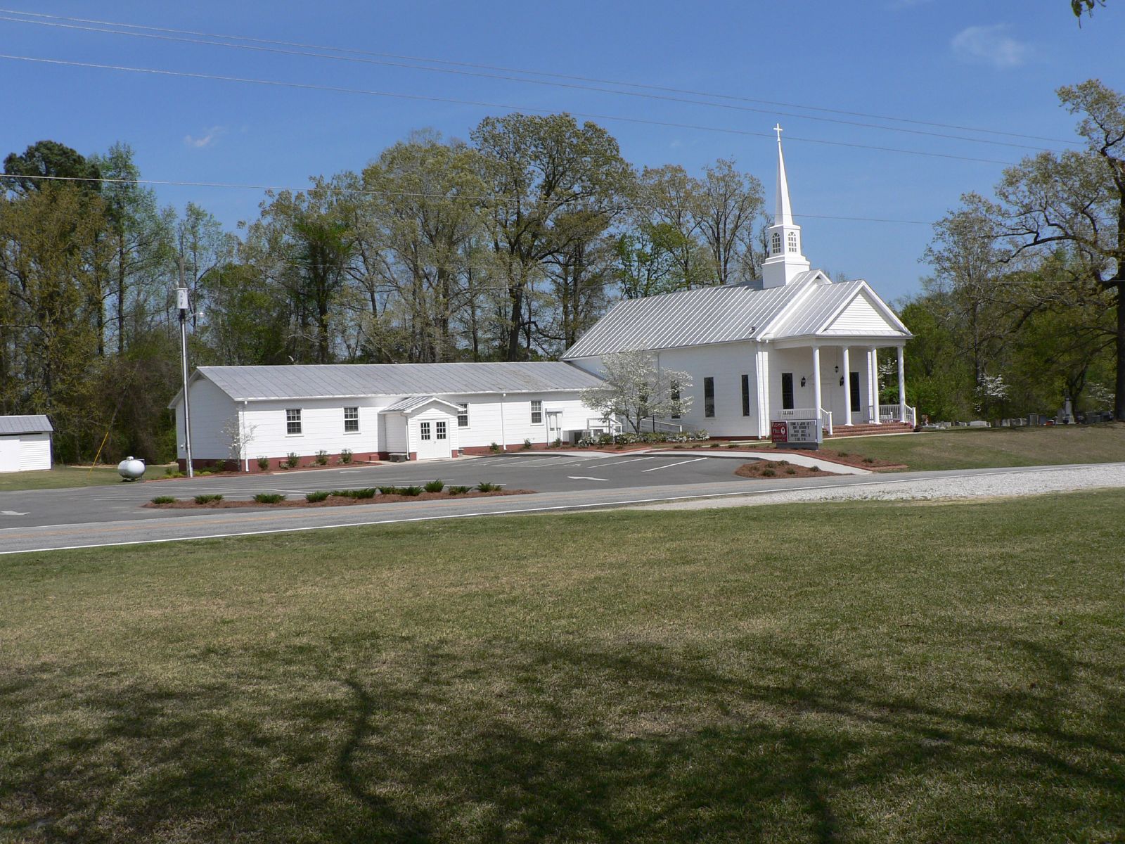
Pleasant Hill Church and addition

the flick
North Carolina

Music is LOVE

The LQQK

Cotton Field

GETTING MARRIED STINKS

OPPS I drop YOUR ring

LOCKED IN LOVE

Bonnie & Sonny

Braid and ponytail (her idea) with a wink

The Moon

Green Lynx Spider

Wild Strawberry
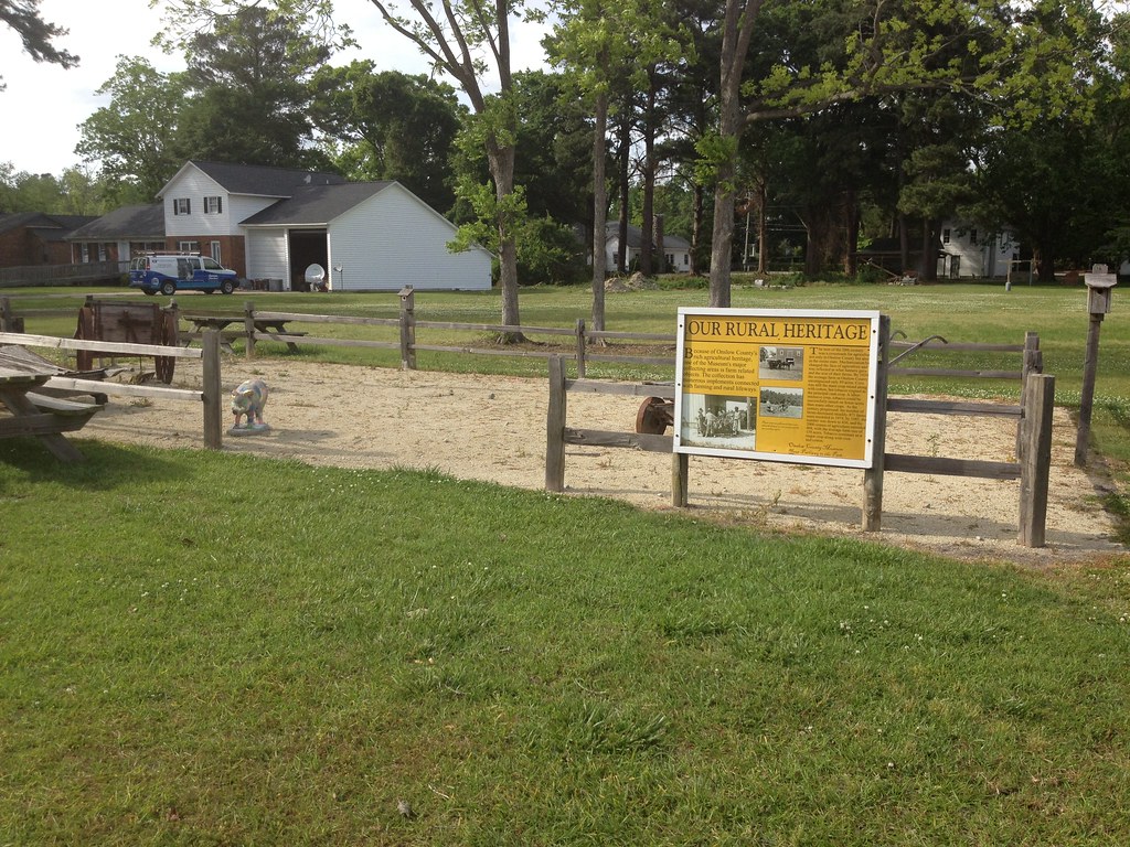
Our Rural Heritage, Richlands, NC
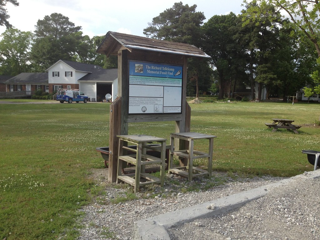
Richard Tellekamp Memorial Fossil Find, Richlands, NC

Manda found a pepper growing inside a pepper. #mutation

Mothers Day lunch

Dying eggs with family and friends.
Topographic Map of Haw Branch Rd, Richlands, NC, USA
Find elevation by address:

Places near Haw Branch Rd, Richlands, NC, USA:
Haw Branch Rd, Richlands, NC, USA
109 Steamshovel Rd
319 Shadyrock Path
104 Hinson Ln
Huffmantown Rd, Richlands, NC, USA
306 Snow Bell Ct
223 Wingspread Ln
263 Koonce Fork Rd
Richlands
8405 Richlands Hwy
163 Christy Dr
Richlands
Camellia Creek Drive
7049 Richlands Hwy
3088 Catherine Lake Rd
309 Winstead Loop Rd
3214 Catherine Lake Rd
3204 Catherine Lake Rd
502 Esquire Dr
3236 Catherine Lake Rd
Recent Searches:
- Elevation of 4 Vale Rd, Sheffield S3 9QX, UK
- Elevation of Keene Point Drive, Keene Point Dr, Grant, AL, USA
- Elevation of State St, Zanesville, OH, USA
- Elevation of Austin Stone Dr, Haslet, TX, USA
- Elevation of Bydgoszcz, Poland
- Elevation of Bydgoszcz, Poland
- Elevation of Calais Dr, Del Mar, CA, USA
- Elevation of Placer Mine Ln, West Jordan, UT, USA
- Elevation of E 63rd St, New York, NY, USA
- Elevation of Elk City, OK, USA