Elevation of Haw Branch Rd, Richlands, NC, USA
Location: United States > North Carolina > Onslow County > Richlands > Richlands >
Longitude: -77.632156
Latitude: 34.936489
Elevation: 22m / 72feet
Barometric Pressure: 101KPa
Elevation Map:
Satellite Map:
Related Photos:

A view of Cabin Lake
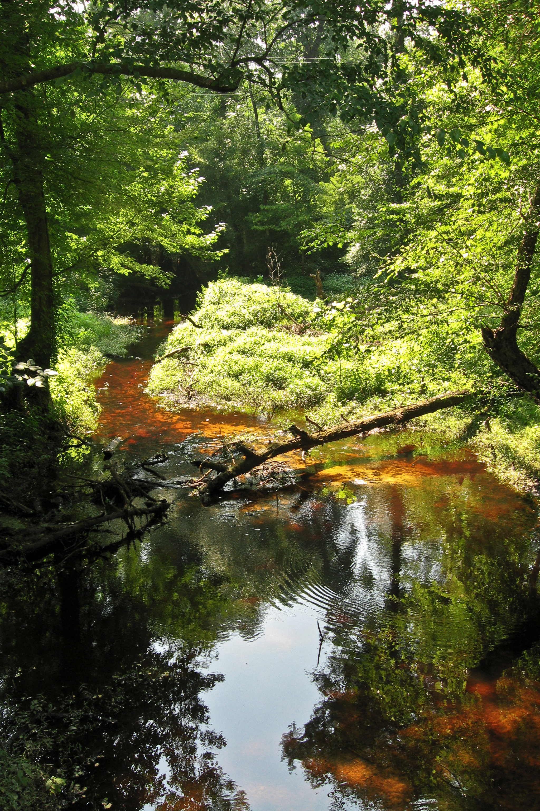
Tuckahoe Creek

You know you're a photographer when you bust a u-turn to photograph a lone tree in a cotton field

Sunrise over soybeans

#VSCOcam
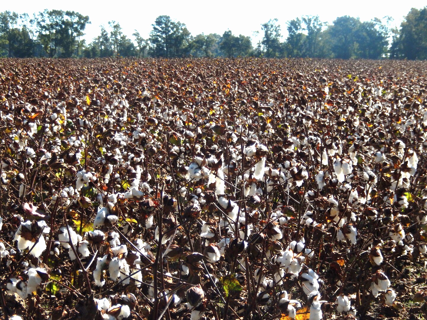
Cotton Field

Music is LOVE

The LQQK

Fishing for the first time as...

North Carolina, Beulaville Police Department

GETTING MARRIED STINKS

Will u marry me?

OPPS I drop YOUR ring

BLUE MOON

LOCKED IN LOVE

Bonnie & Sonny

Braid and ponytail (her idea) with a wink

1956 Corvette
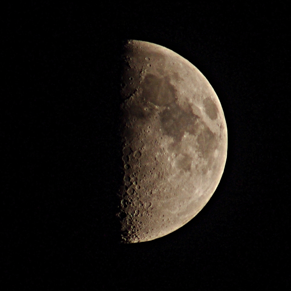
The Moon

V22 Osprey

Green Lynx Spider

Wild Strawberry
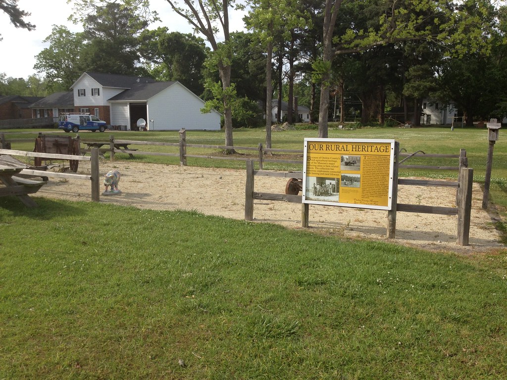
Our Rural Heritage, Richlands, NC
Topographic Map of Haw Branch Rd, Richlands, NC, USA
Find elevation by address:

Places near Haw Branch Rd, Richlands, NC, USA:
401 Haw Branch Rd
109 Steamshovel Rd
319 Shadyrock Path
104 Hinson Ln
306 Snow Bell Ct
223 Wingspread Ln
Huffmantown Rd, Richlands, NC, USA
263 Koonce Fork Rd
Richlands
163 Christy Dr
8405 Richlands Hwy
Richlands
Camellia Creek Drive
3088 Catherine Lake Rd
3214 Catherine Lake Rd
3204 Catherine Lake Rd
3236 Catherine Lake Rd
7049 Richlands Hwy
309 Winstead Loop Rd
3245 Catherine Lake Rd
Recent Searches:
- Elevation of Spaceport America, Co Rd A, Truth or Consequences, NM, USA
- Elevation of Warwick, RI, USA
- Elevation of Fern Rd, Whitmore, CA, USA
- Elevation of 62 Abbey St, Marshfield, MA, USA
- Elevation of Fernwood, Bradenton, FL, USA
- Elevation of Felindre, Swansea SA5 7LU, UK
- Elevation of Leyte Industrial Development Estate, Isabel, Leyte, Philippines
- Elevation of W Granada St, Tampa, FL, USA
- Elevation of Pykes Down, Ivybridge PL21 0BY, UK
- Elevation of Jalan Senandin, Lutong, Miri, Sarawak, Malaysia