Elevation of State Rte DD, Willow Springs, MO, USA
Location: United States > Missouri > Howell County > Willow Springs Township >
Longitude: -91.948404
Latitude: 36.99566
Elevation: 390m / 1280feet
Barometric Pressure: 97KPa
Elevation Map:
Satellite Map:
Related Photos:
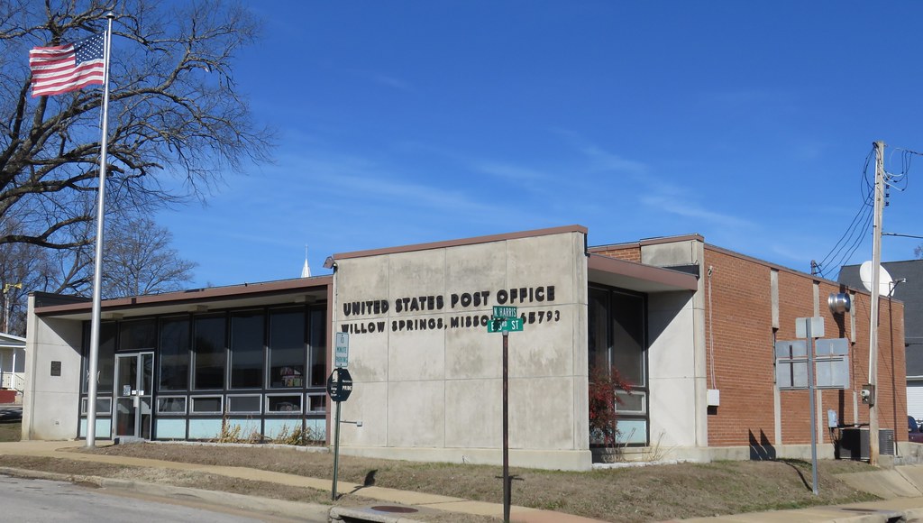
Post Office 65793 (Willow Springs, Missouri)
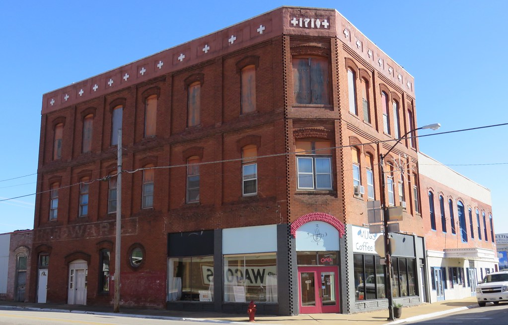
Old Corner Building (Willow Springs, Missouri)
Dead Stick Landing

2010-08-15
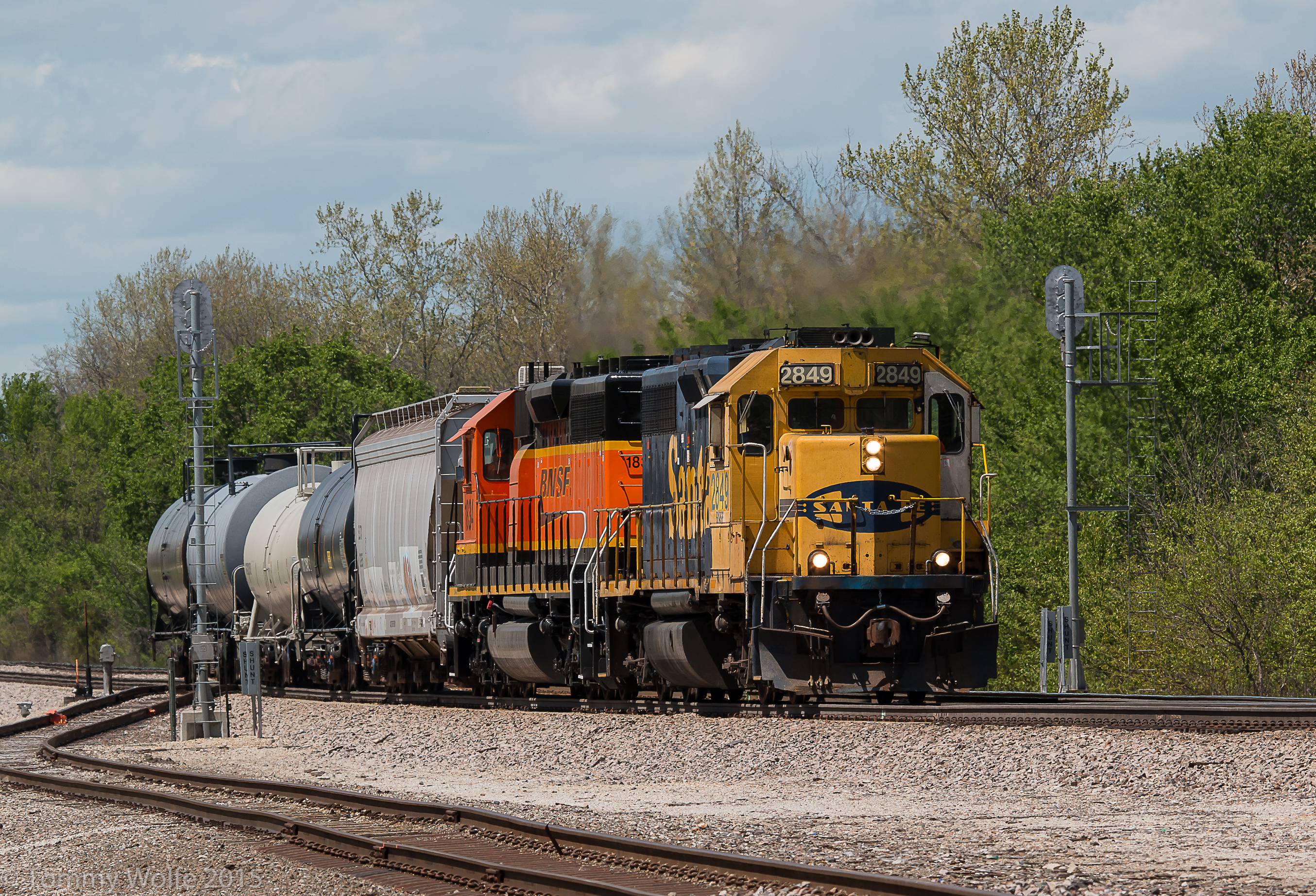
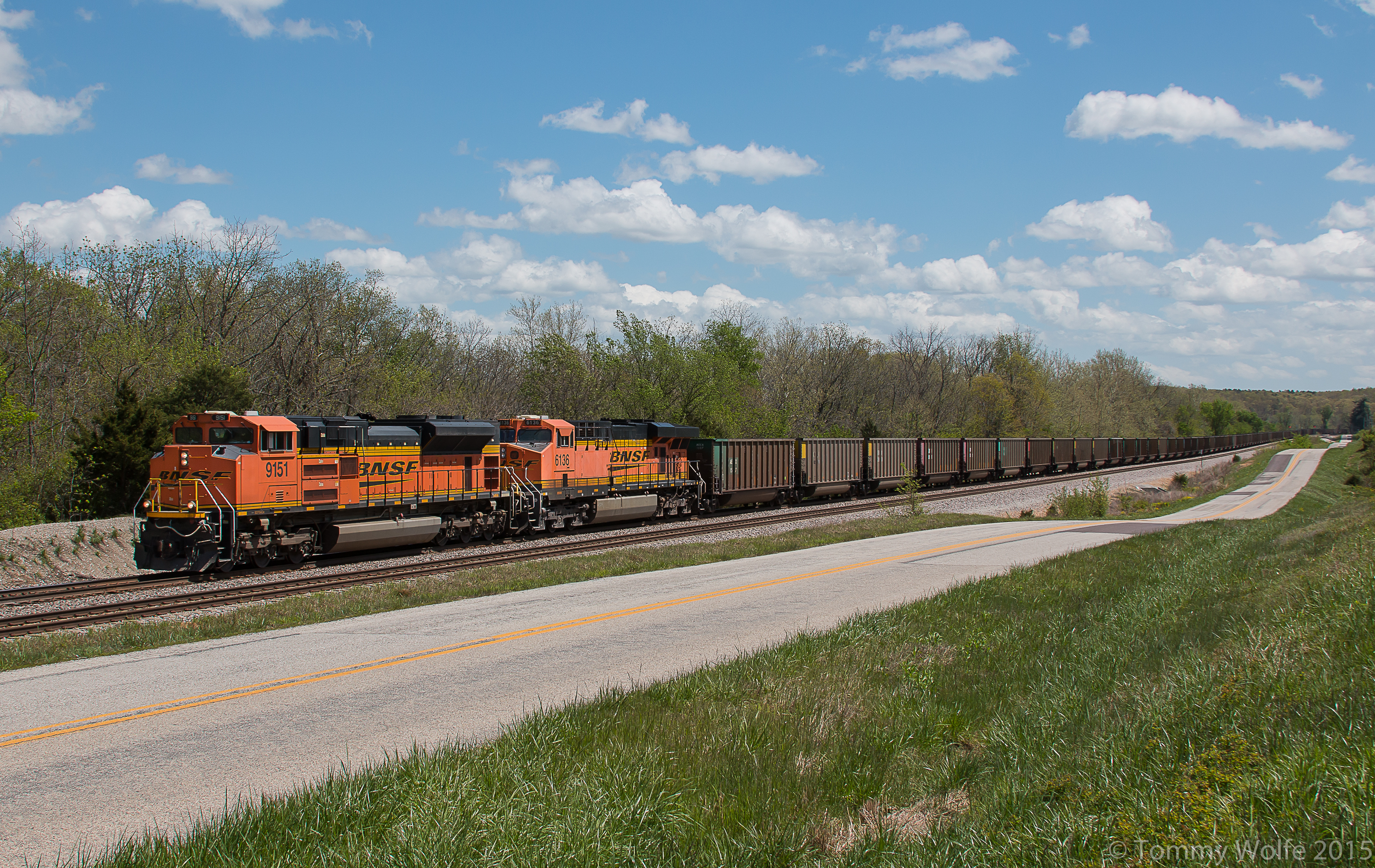
SantaFe splitting Signals

Fire Bush at the South Prong of the Jacks Fork River.

Autumn Orange SAK.
E-NMANAM0 98B

BNSF 2849
Topographic Map of State Rte DD, Willow Springs, MO, USA
Find elevation by address:

Places near State Rte DD, Willow Springs, MO, USA:
Willow Springs
519 S Center St
3001 Co Rd 3780
State Rte U, Mountain View, MO, USA
Willow Springs Township
Sargent Township
4602 Co Rd 1690
4470 State Rte U
Pomona
2206 Mt Pisgah Rd
2206 Mt Pisgah Rd
Hutton Valley Township
15227 Hwy U
Howell County
Dry Creek Township
5141 Co Rd 1820
Beeler Road
17422 Hwy H
17422 Hwy H
14462 Kile Rd
Recent Searches:
- Elevation of Groblershoop, South Africa
- Elevation of Power Generation Enterprises | Industrial Diesel Generators, Oak Ave, Canyon Country, CA, USA
- Elevation of Chesaw Rd, Oroville, WA, USA
- Elevation of N, Mt Pleasant, UT, USA
- Elevation of 6 Rue Jules Ferry, Beausoleil, France
- Elevation of Sattva Horizon, 4JC6+G9P, Vinayak Nagar, Kattigenahalli, Bengaluru, Karnataka, India
- Elevation of Great Brook Sports, Gold Star Hwy, Groton, CT, USA
- Elevation of 10 Mountain Laurels Dr, Nashua, NH, USA
- Elevation of 16 Gilboa Ln, Nashua, NH, USA
- Elevation of Laurel Rd, Townsend, TN, USA