Elevation of Pomona, MO, USA
Location: United States > Missouri > Howell County > Dry Creek Township >
Longitude: -91.914317
Latitude: 36.8672793
Elevation: 382m / 1253feet
Barometric Pressure: 97KPa
Elevation Map:
Satellite Map:
Related Photos:

...headin' out...

Master Bedroom 2
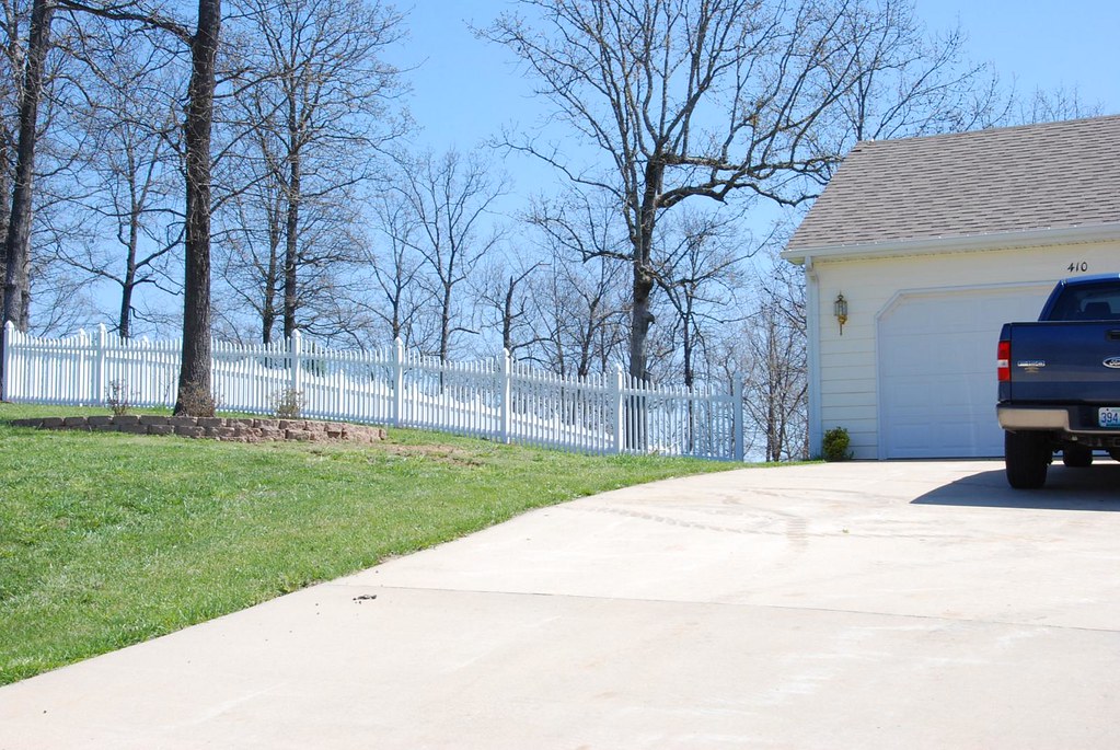
Fence Install
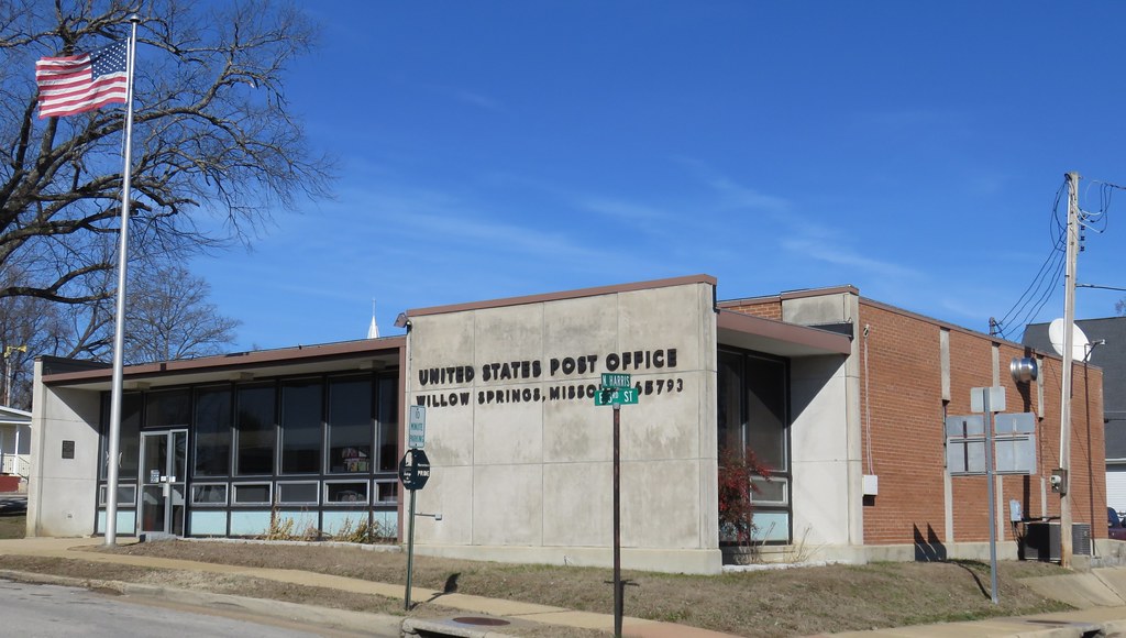
Post Office 65793 (Willow Springs, Missouri)

Old Corner Building (Willow Springs, Missouri)
Dead Stick Landing

Rocky Falls, Stegall Mountain Natural Area
West Plains, MO

West Plains, MO

West Plains, MO

Funhouse mirror time
Beautifully Abandoned

West Plains Missouri

Art Under the Bridge

West Plains Skatepark

Happy in Autumn

Cool folk mural in West Plains

Autumn Orange SAK.

C-NRMMHS0 27A
Topographic Map of Pomona, MO, USA
Find elevation by address:

Places near Pomona, MO, USA:
Howell County
4602 Co Rd 1690
Dry Creek Township
4470 State Rte U
5141 Co Rd 1820
5416 Co Rd 1380
State Rte U, Mountain View, MO, USA
7519 Co Rd 2010
3011 Christie Dr
Wayhaven Avenue
2511 Paula Dr
1912 Linda St
7498 Co Rd 2570
1724 Luna Dr
1813 Gibson St
Berean Baptist Church
1179 State Rte Dd
Willow Springs
519 S Center St
Hutton Valley Township
Recent Searches:
- Elevation of 15th Ave SE, St. Petersburg, FL, USA
- Elevation of Beall Road, Beall Rd, Florida, USA
- Elevation of Leguwa, Nepal
- Elevation of County Rd, Enterprise, AL, USA
- Elevation of Kolchuginsky District, Vladimir Oblast, Russia
- Elevation of Shustino, Vladimir Oblast, Russia
- Elevation of Lampiasi St, Sarasota, FL, USA
- Elevation of Elwyn Dr, Roanoke Rapids, NC, USA
- Elevation of Congressional Dr, Stevensville, MD, USA
- Elevation of Bellview Rd, McLean, VA, USA