Elevation of Dry Creek Township, MO, USA
Location: United States > Missouri > Howell County >
Longitude: -91.929468
Latitude: 36.8309642
Elevation: 356m / 1168feet
Barometric Pressure: 97KPa
Elevation Map:
Satellite Map:
Related Photos:
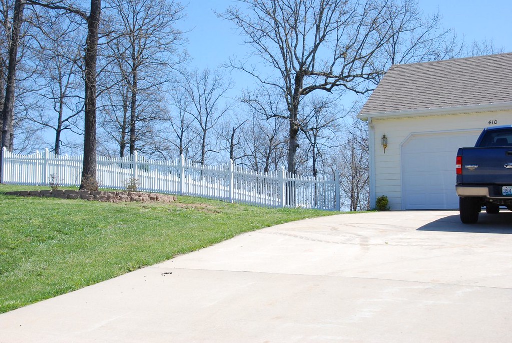
Fence Install

Master Bedroom 2

Icicles over my head

Rocky Falls, Stegall Mountain Natural Area

#ozarksymposium

West Plains Skatepark

Happy in Autumn
West Plains, MO
West Plains, MO

West Plains, MO

Time to stop conferencing

Funhouse mirror time

Cool folk mural in West Plains

C-NRMMHS0 27A
Topographic Map of Dry Creek Township, MO, USA
Find elevation by address:

Places in Dry Creek Township, MO, USA:
Places near Dry Creek Township, MO, USA:
Howell County
Pomona
5141 Co Rd 1820
4602 Co Rd 1690
5416 Co Rd 1380
4470 State Rte U
3011 Christie Dr
Wayhaven Avenue
2511 Paula Dr
7519 Co Rd 2010
1912 Linda St
1813 Gibson St
2712 Pvt Rd 6892
1724 Luna Dr
712 E Pamela Dr
West Plains, MO, USA
7498 Co Rd 2570
N-a
West Plains
Berean Baptist Church
Recent Searches:
- Elevation of 15th Ave SE, St. Petersburg, FL, USA
- Elevation of Beall Road, Beall Rd, Florida, USA
- Elevation of Leguwa, Nepal
- Elevation of County Rd, Enterprise, AL, USA
- Elevation of Kolchuginsky District, Vladimir Oblast, Russia
- Elevation of Shustino, Vladimir Oblast, Russia
- Elevation of Lampiasi St, Sarasota, FL, USA
- Elevation of Elwyn Dr, Roanoke Rapids, NC, USA
- Elevation of Congressional Dr, Stevensville, MD, USA
- Elevation of Bellview Rd, McLean, VA, USA