Elevation of Hutton Valley Township, MO, USA
Location: United States > Missouri > Howell County >
Longitude: -91.812332
Latitude: 36.9618239
Elevation: 375m / 1230feet
Barometric Pressure: 97KPa
Elevation Map:
Satellite Map:
Related Photos:

...headin' out...

...remnants...

Yellow-bellied Sapsucker

..."oh yeah?"...

...restin'...

Sunset in the ozarks

...stopping by..

Shine & Dine, Car Wash and Diner
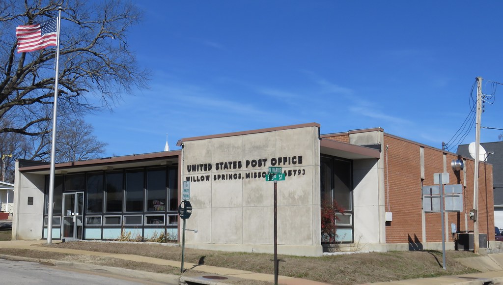
Post Office 65793 (Willow Springs, Missouri)
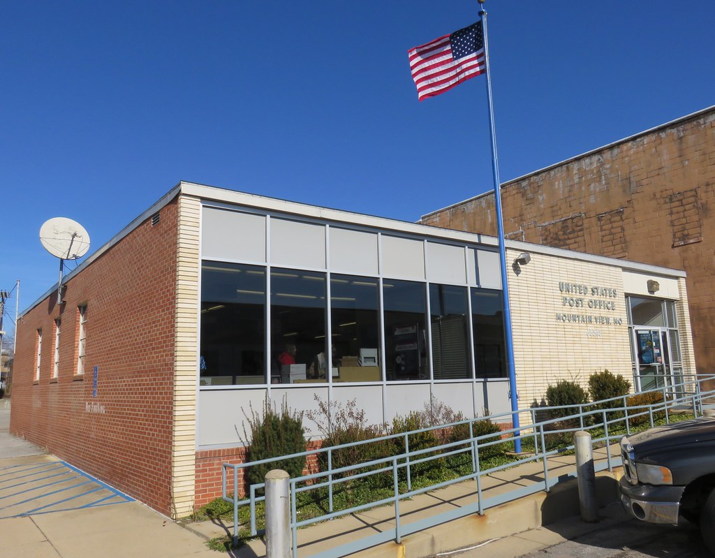
Post Office 65548 (Mountain View, Missouri)

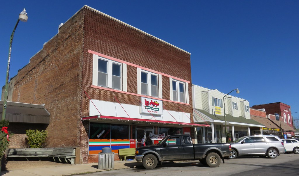
Old Corner Building (Willow Springs, Missouri)
Storefront Block (Mountain View, Missouri)
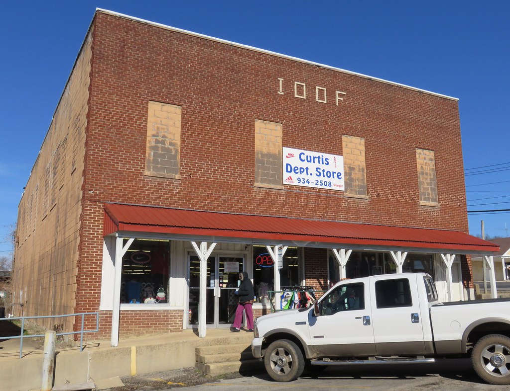
I.O.O.F. Hall (Mountain View, Missouri)

..............

Dead Stick Landing

Grandpa's Gate
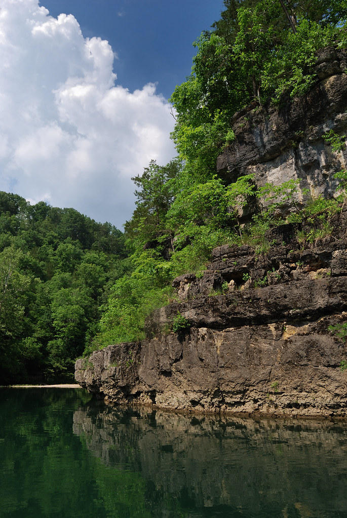
Memorial Weekend, 2010 Float Trip, Jacks Fork

Memorial Weekend, 2010 Float Trip, Jacks Fork

Memorial Weekend, 2010 Float Trip, Jacks Fork
Topographic Map of Hutton Valley Township, MO, USA
Find elevation by address:

Places in Hutton Valley Township, MO, USA:
Places near Hutton Valley Township, MO, USA:
State Rte U, Mountain View, MO, USA
4470 State Rte U
Mountain View
4602 Co Rd 1690
Sisson Township
Pomona
1179 State Rte Dd
5141 Co Rd 1820
Howell County
Willow Springs
4125 State Rte W
519 S Center St
7498 Co Rd 2570
Berean Baptist Church
3001 Co Rd 3780
Dry Creek Township
5416 Co Rd 1380
7519 Co Rd 2010
Sargent Township
3011 Christie Dr
Recent Searches:
- Elevation of Corso Fratelli Cairoli, 35, Macerata MC, Italy
- Elevation of Tallevast Rd, Sarasota, FL, USA
- Elevation of 4th St E, Sonoma, CA, USA
- Elevation of Black Hollow Rd, Pennsdale, PA, USA
- Elevation of Oakland Ave, Williamsport, PA, USA
- Elevation of Pedrógão Grande, Portugal
- Elevation of Klee Dr, Martinsburg, WV, USA
- Elevation of Via Roma, Pieranica CR, Italy
- Elevation of Tavkvetili Mountain, Georgia
- Elevation of Hartfords Bluff Cir, Mt Pleasant, SC, USA