Elevation of Star, NC, USA
Location: United States > North Carolina > Montgomery County >
Longitude: -79.773630
Latitude: 35.4262138
Elevation: 184m / 604feet
Barometric Pressure: 99KPa
Elevation Map:
Satellite Map:
Related Photos:

Video of Aberdeen, Carolina and Western RR

ACWR 6910

2009-10-08 09-11-19 - 0034
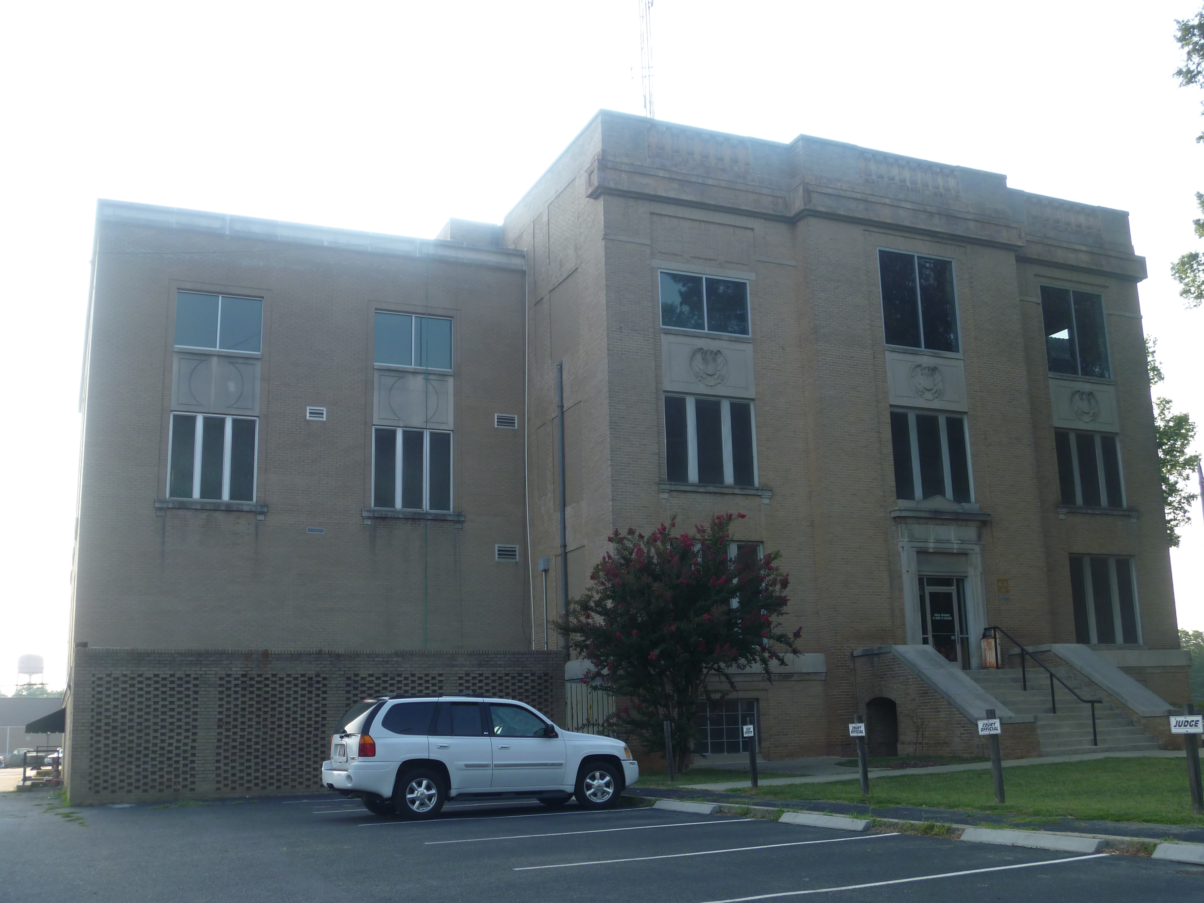
Side View Of Montgomery County Courthouse

2014-04-08_17-02-25_NEX-6_DSC02047

White squirrel

ACWR 200 at Perdue
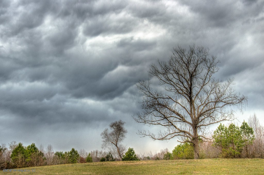
Trees in the Forest

Trees in the Forest

Trees in the Forest

Zen #zen #nikon #northcarolina #northcarolinaphotographer #badinlake #moment #landscape #waterscape #water

Sky on fire

Like the Simpson's intro

3-2.jpg

smitherman's mill

Grazing #1

20151031-DSC_9587
Topographic Map of Star, NC, USA
Find elevation by address:

Places in Star, NC, USA:
Places near Star, NC, USA:
Star
W Main St, Biscoe, NC, USA
Biscoe
Biscoe
3, Sheffield
District Ranger Office
Small Road
Seagrove
1510 Cagle Loop Rd
Richland
Montgomery County
2819 Brower Mill Rd
5152 Ridge Rd
60 Morgan St
N Main St, Candor, NC, USA
Candor
Troy
Capelsie Rd, Candor, NC, USA
Troy
670 Hicks Rd
Recent Searches:
- Elevation of Redondo Ave, Long Beach, CA, USA
- Elevation of Sadovaya Ulitsa, 20, Rezh, Sverdlovskaya oblast', Russia
- Elevation of Ulitsa Kalinina, 79, Rezh, Sverdlovskaya oblast', Russia
- Elevation of 72-31 Metropolitan Ave, Middle Village, NY, USA
- Elevation of 76 Metropolitan Ave, Brooklyn, NY, USA
- Elevation of Alisal Rd, Solvang, CA, USA
- Elevation of Vista Blvd, Sparks, NV, USA
- Elevation of 15th Ave SE, St. Petersburg, FL, USA
- Elevation of Beall Road, Beall Rd, Florida, USA
- Elevation of Leguwa, Nepal