Elevation of Capelsie Rd, Candor, NC, USA
Location: United States > North Carolina > Montgomery County > Troy >
Longitude: -79.864637
Latitude: 35.318231
Elevation: 133m / 436feet
Barometric Pressure: 100KPa
Elevation Map:
Satellite Map:
Related Photos:

RAWR!
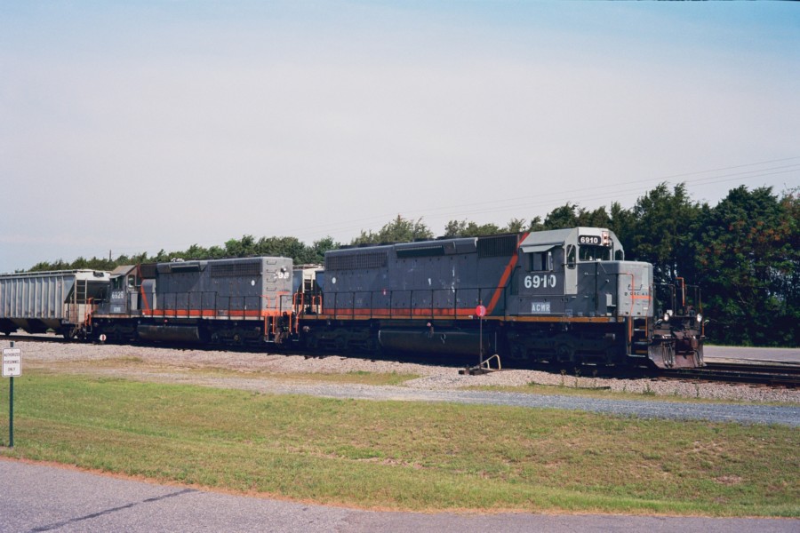
ACWR 6910
2009-10-08 09-11-19 - 0034
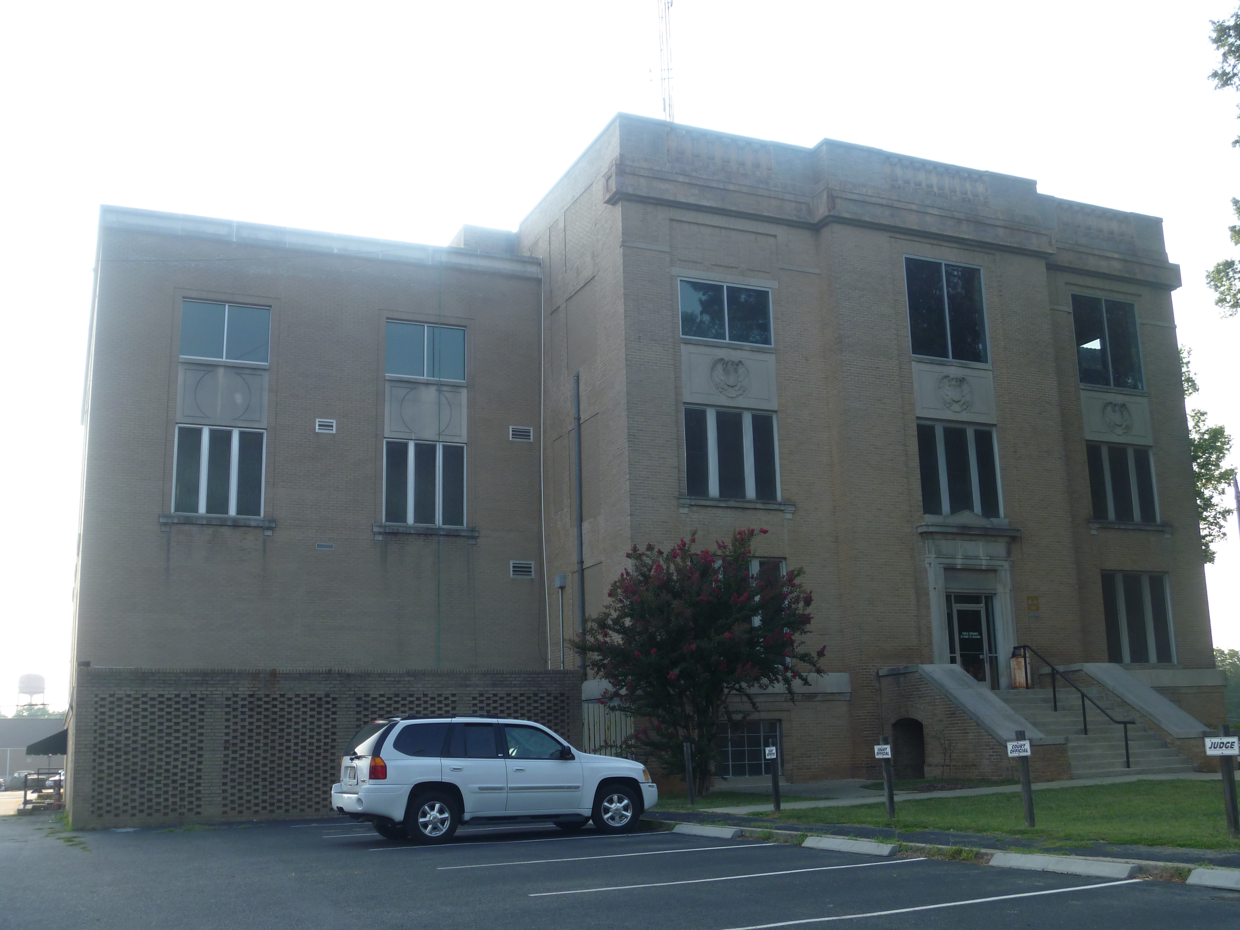
Side View Of Montgomery County Courthouse
Yates Place
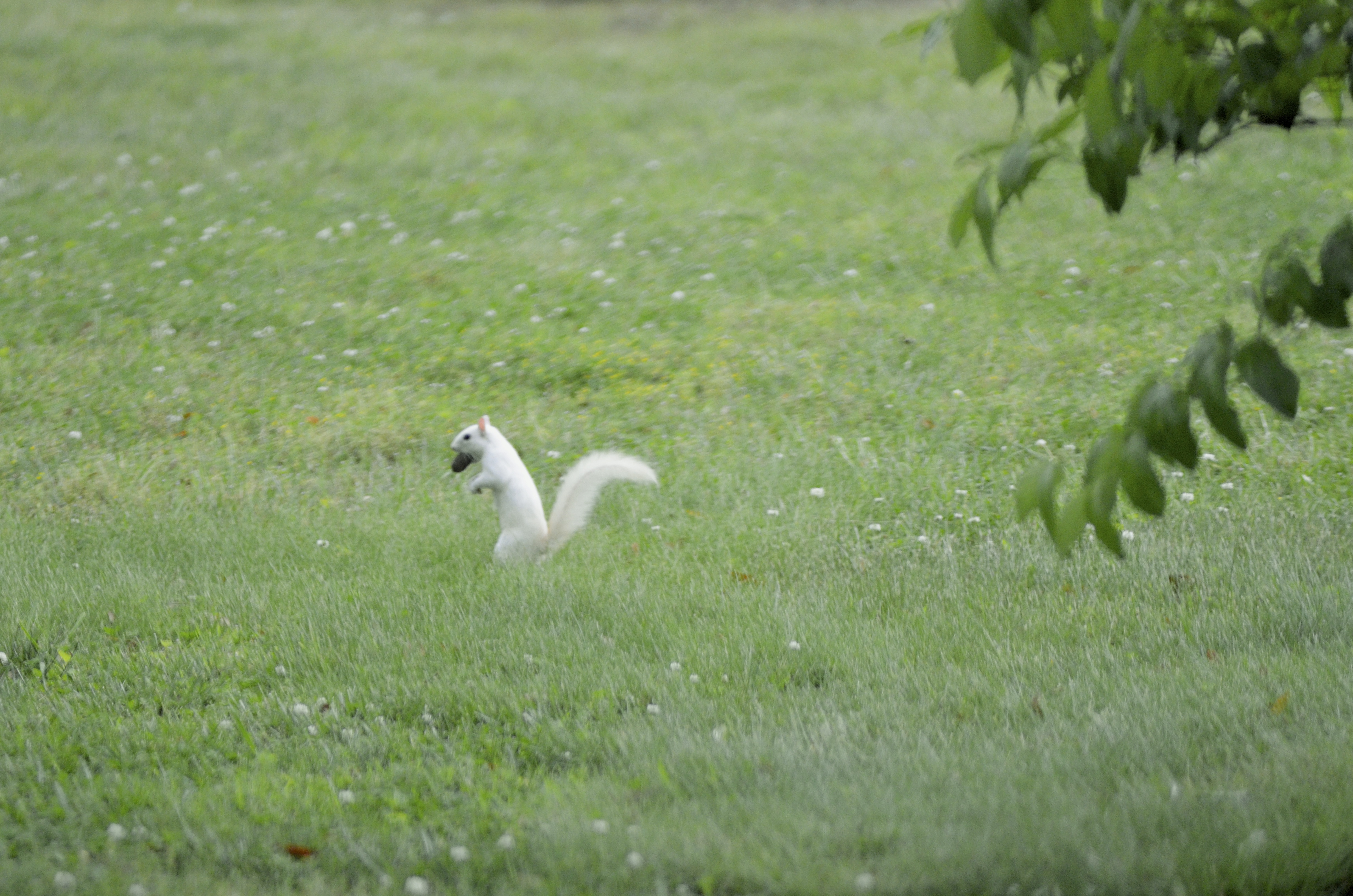
White squirrel

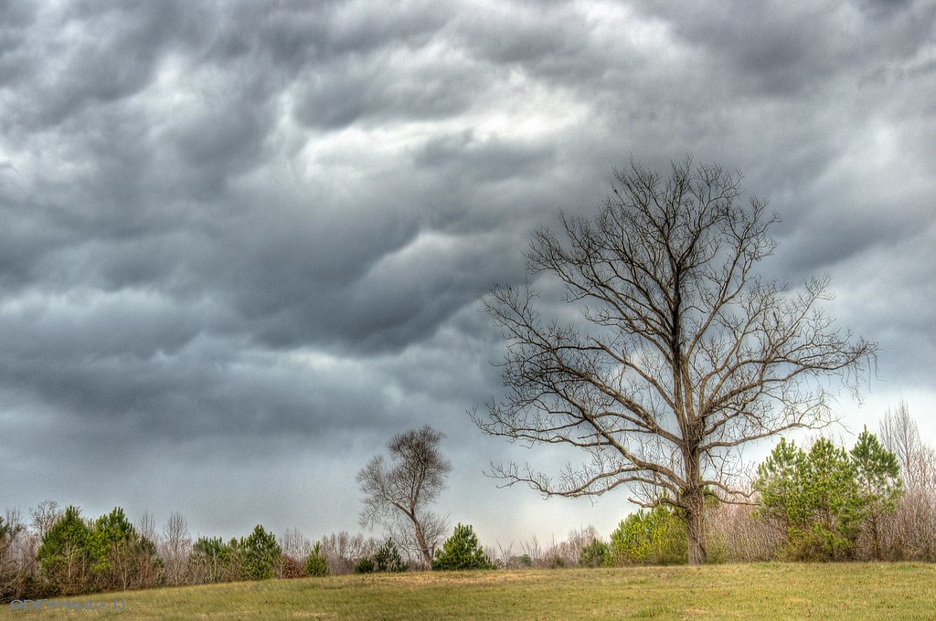
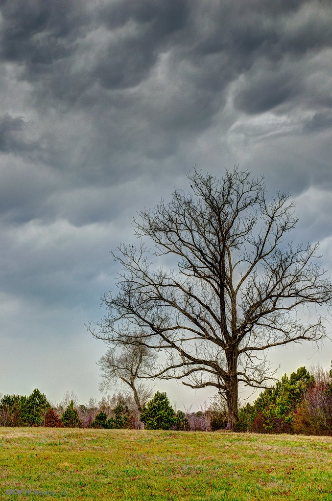
Sky on fire
Nice place for lunch
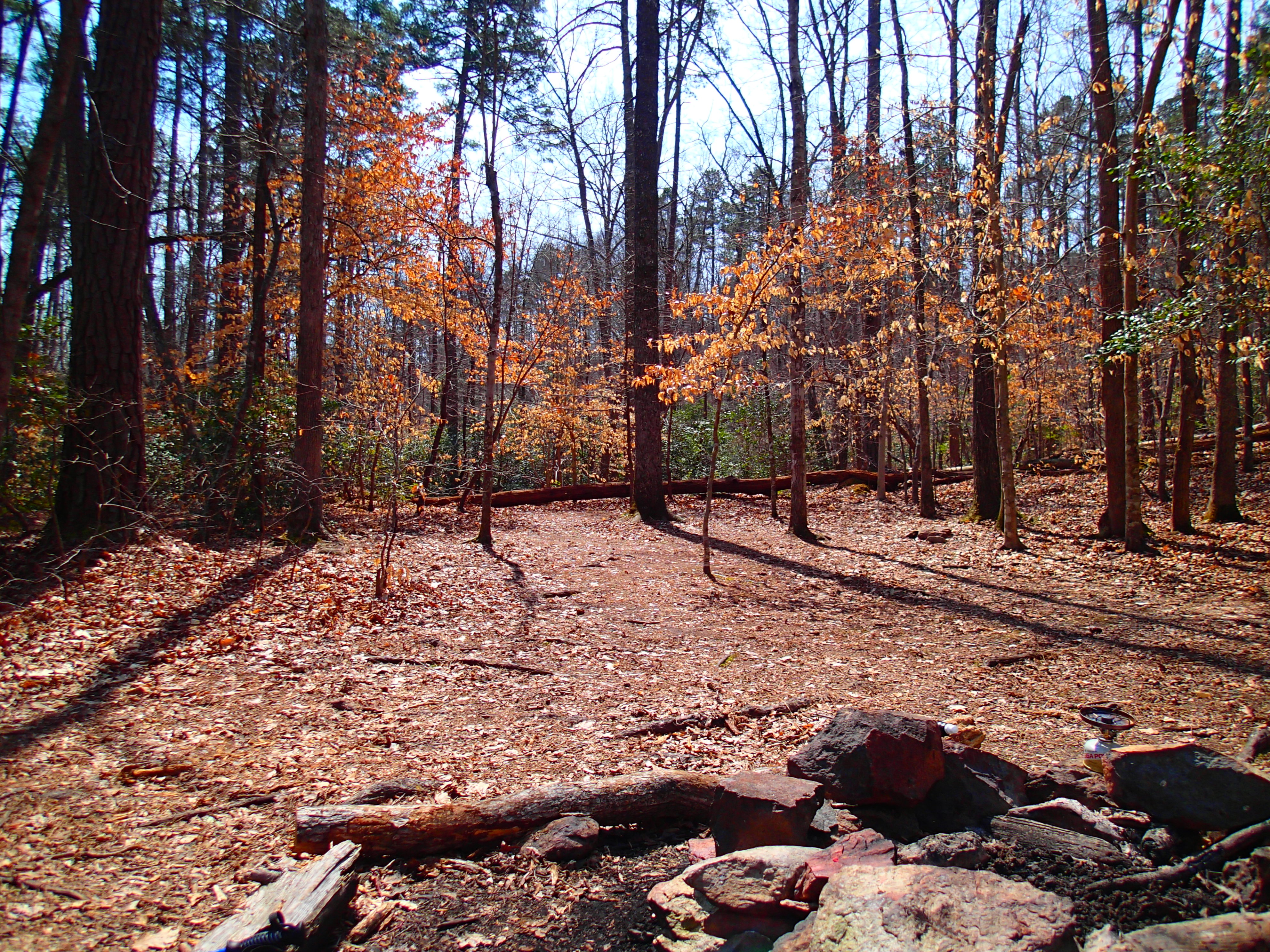
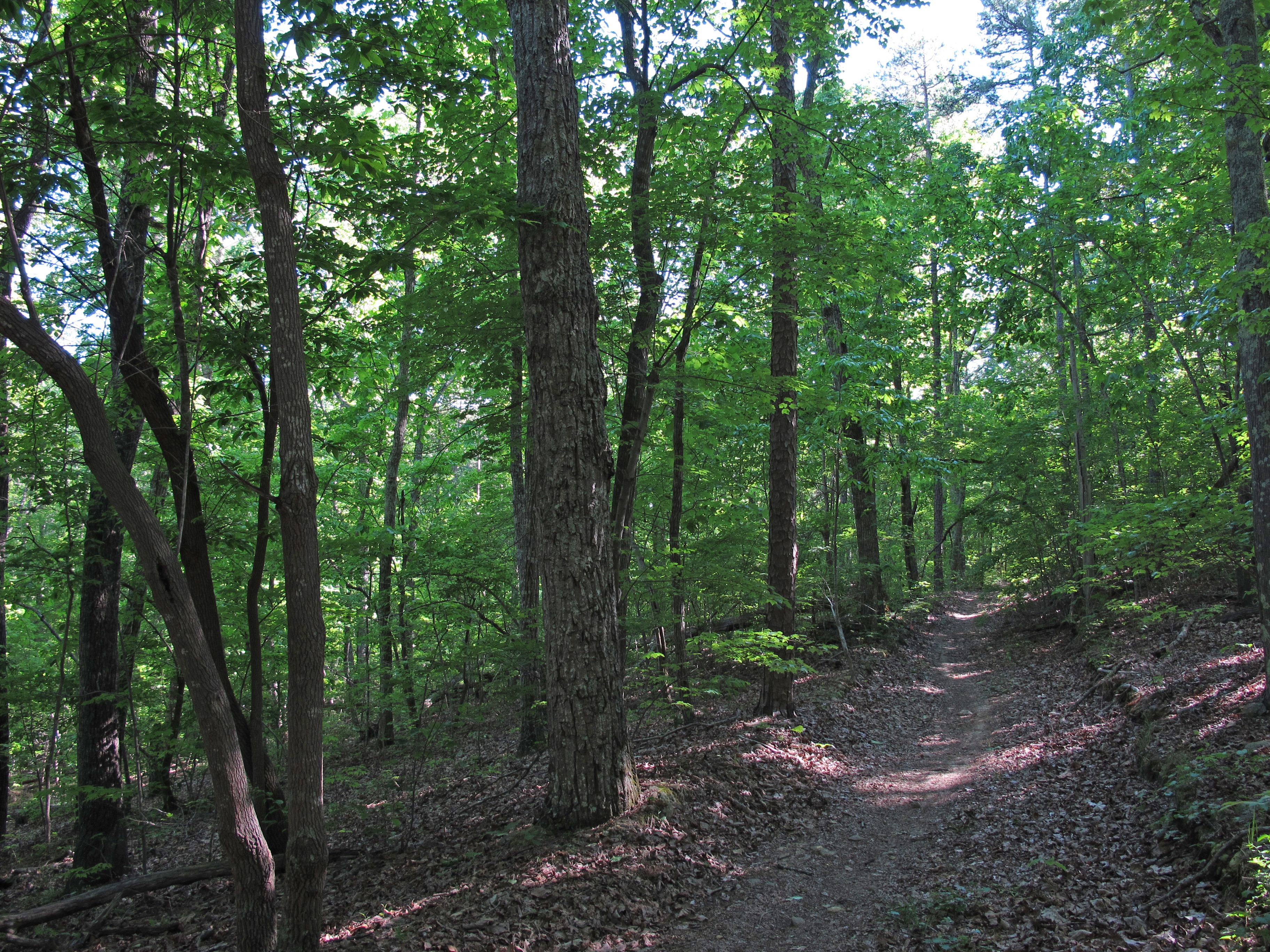
Trees in the Forest

Trees in the Forest
Trees in the Forest

Zen #zen #nikon #northcarolina #northcarolinaphotographer #badinlake #moment #landscape #waterscape #water
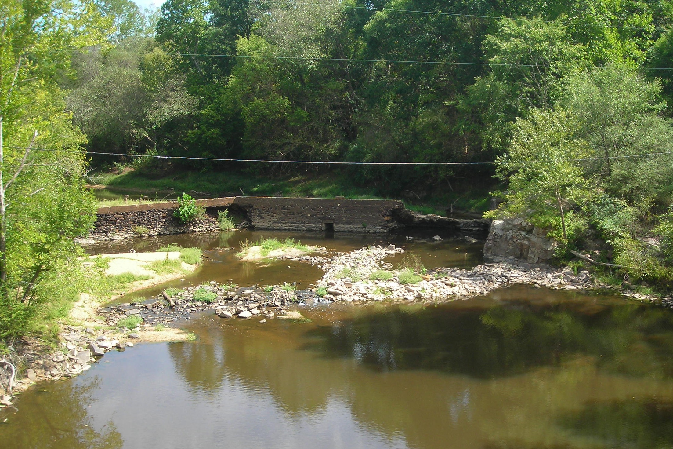
smitherman's mill

Like the Simpson's intro

Town Creek Indian Mound, Morning Mist 2
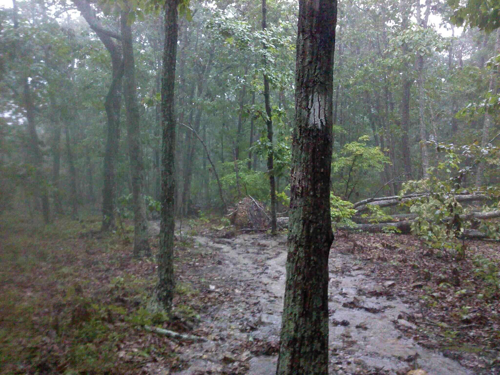
Rainy Day in Uwharrie
on Supertree trail
Topographic Map of Capelsie Rd, Candor, NC, USA
Find elevation by address:

Places near Capelsie Rd, Candor, NC, USA:
670 Hicks Rd
Troy
Montgomery County
District Ranger Office
Troy
Small Road
Biscoe
W Main St, Biscoe, NC, USA
Biscoe
Thickety Creek Road
60 Morgan St
Star
N Main St, Candor, NC, USA
Candor
Rocky Springs
Liberty Hill Church Rd, Mt Gilead, NC, USA
Star
Uwharrie
143 Stoney Fork Church Rd
3870 Love Joy Rd
Recent Searches:
- Elevation of Corso Fratelli Cairoli, 35, Macerata MC, Italy
- Elevation of Tallevast Rd, Sarasota, FL, USA
- Elevation of 4th St E, Sonoma, CA, USA
- Elevation of Black Hollow Rd, Pennsdale, PA, USA
- Elevation of Oakland Ave, Williamsport, PA, USA
- Elevation of Pedrógão Grande, Portugal
- Elevation of Klee Dr, Martinsburg, WV, USA
- Elevation of Via Roma, Pieranica CR, Italy
- Elevation of Tavkvetili Mountain, Georgia
- Elevation of Hartfords Bluff Cir, Mt Pleasant, SC, USA