Elevation of N Main St, Candor, NC, USA
Location: United States > North Carolina > Montgomery County > Biscoe > Candor >
Longitude: -79.745397
Latitude: 35.295298
Elevation: 224m / 735feet
Barometric Pressure: 99KPa
Elevation Map:
Satellite Map:
Related Photos:
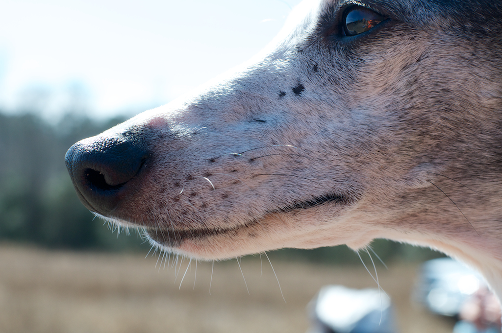
Tarheel Weimaraner Rescue Fun Day
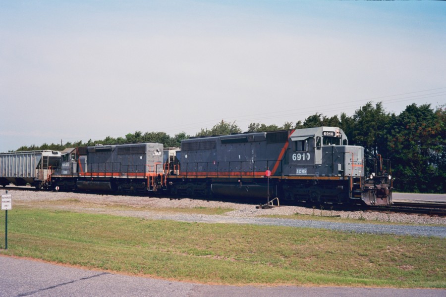
ACWR 6910
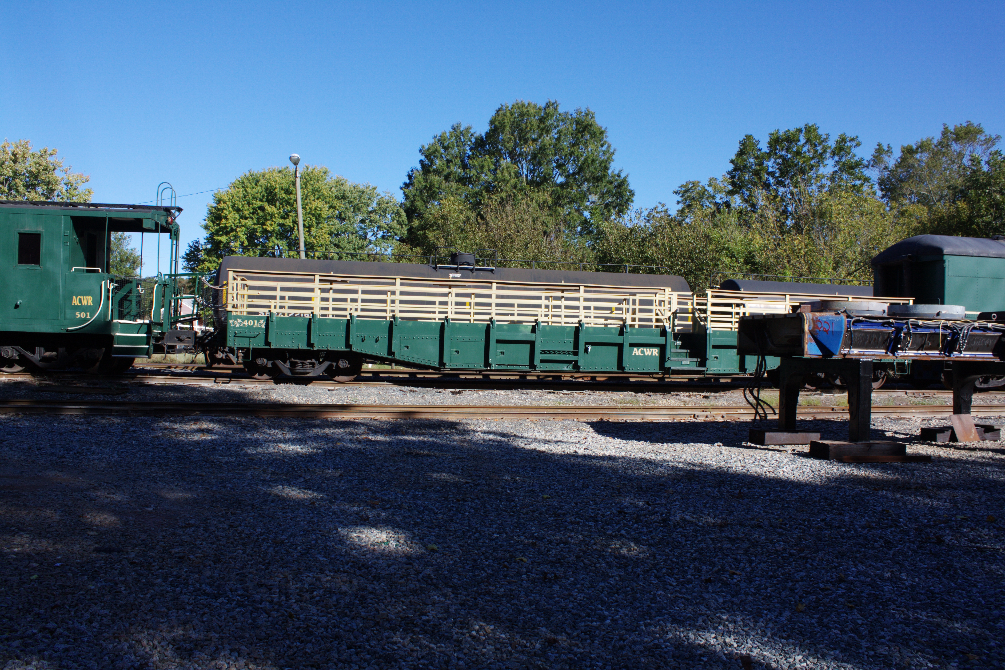
2009-10-08 09-11-19 - 0034
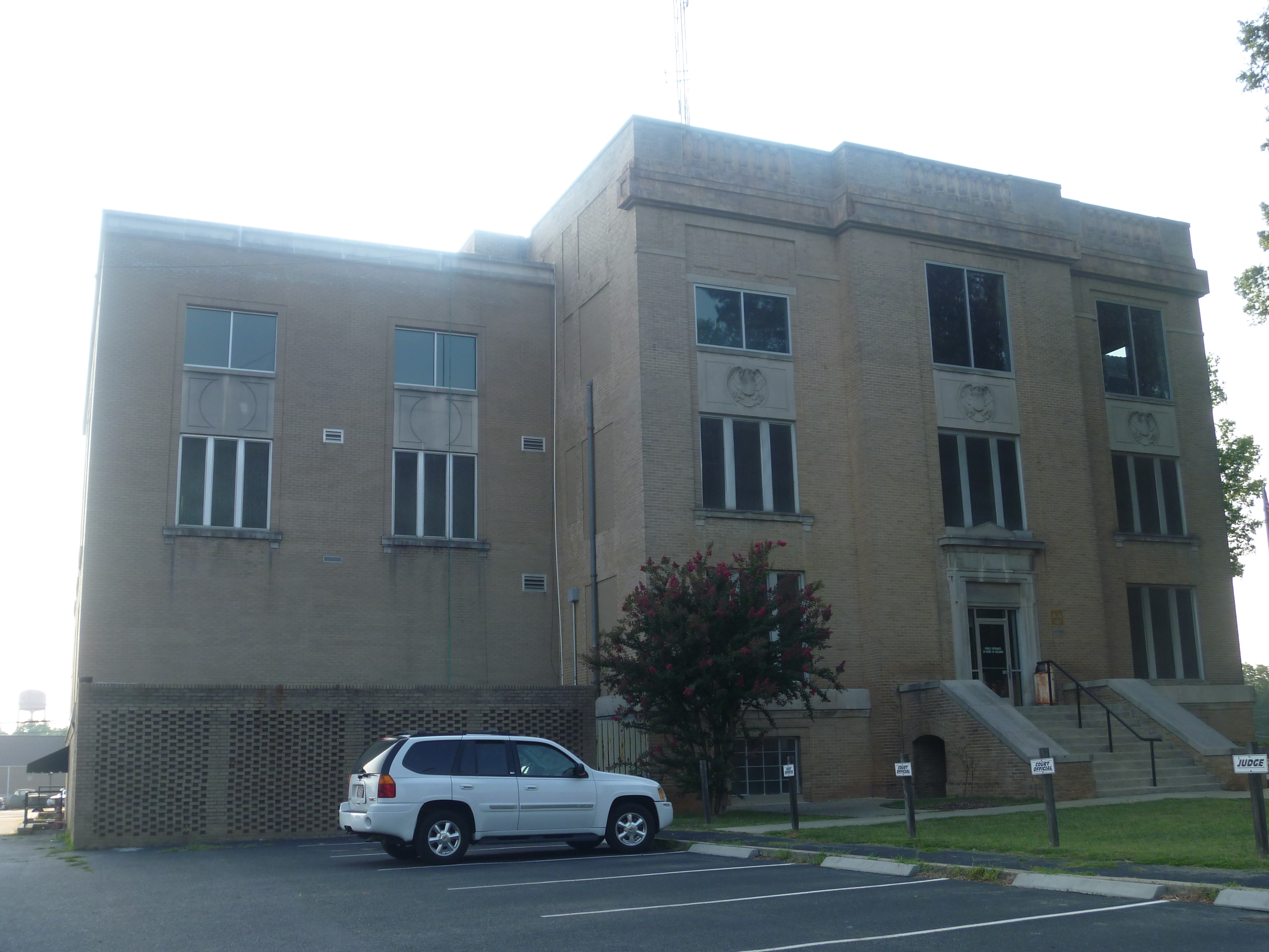
Side View Of Montgomery County Courthouse

White squirrel

Sky on fire
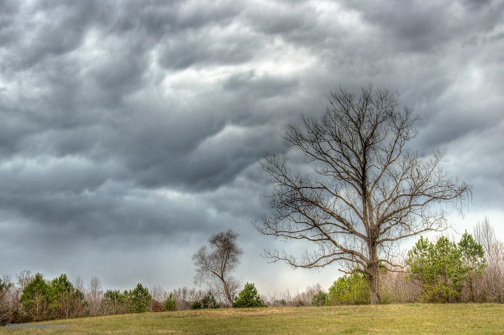
Trees in the Forest

Trees in the Forest

Trees in the Forest

Zen #zen #nikon #northcarolina #northcarolinaphotographer #badinlake #moment #landscape #waterscape #water
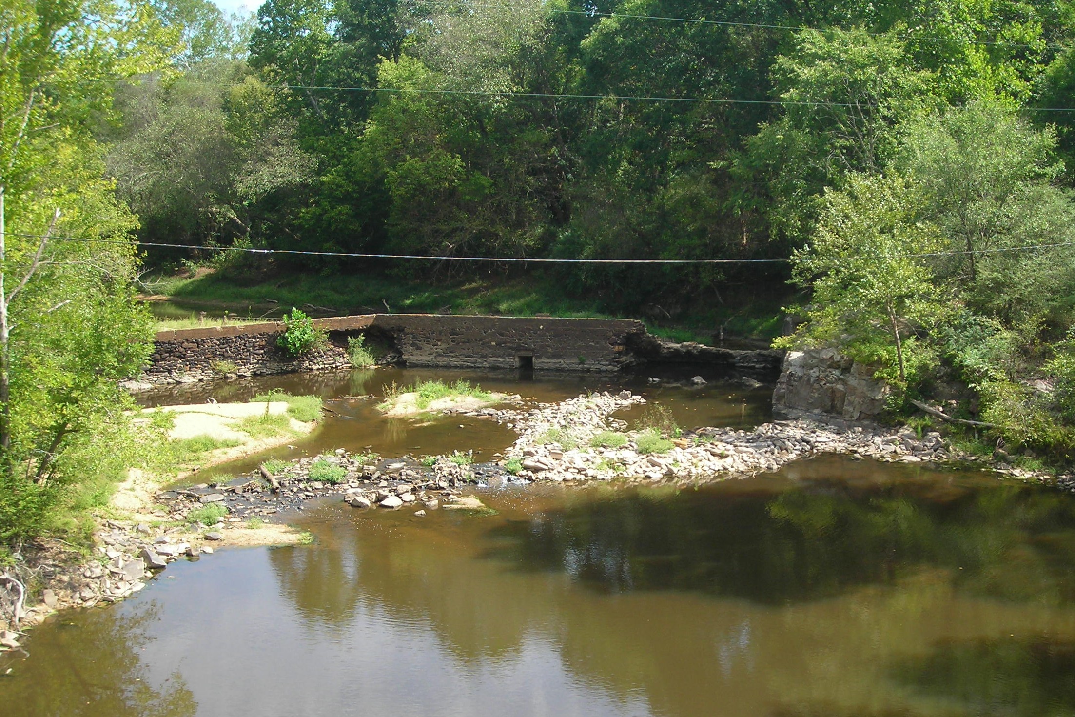
smitherman's mill

Like the Simpson's intro
Topographic Map of N Main St, Candor, NC, USA
Find elevation by address:

Places near N Main St, Candor, NC, USA:
Candor
60 Morgan St
Small Road
Biscoe
Emery Rd, Jackson Springs, NC, USA
Rocky Springs
McNeill Dr, Candor, NC, USA
Eagle Branch Rd, Eagle Springs, NC, USA
Eagle Springs
US-, Ellerbe, NC, USA
Norman
288 Longleaf Dr
287 Longleaf Dr
Jackson Springs
178 Lost Trail Dr
883 Seven Lakes Dr
883 Seven Lakes Dr
108 Logan Ct
115 Pleasant View Ln
113 Pleasant View Ln
Recent Searches:
- Elevation of Corso Fratelli Cairoli, 35, Macerata MC, Italy
- Elevation of Tallevast Rd, Sarasota, FL, USA
- Elevation of 4th St E, Sonoma, CA, USA
- Elevation of Black Hollow Rd, Pennsdale, PA, USA
- Elevation of Oakland Ave, Williamsport, PA, USA
- Elevation of Pedrógão Grande, Portugal
- Elevation of Klee Dr, Martinsburg, WV, USA
- Elevation of Via Roma, Pieranica CR, Italy
- Elevation of Tavkvetili Mountain, Georgia
- Elevation of Hartfords Bluff Cir, Mt Pleasant, SC, USA