Elevation of Stafford County, KS, USA
Location: United States > Kansas >
Longitude: -98.748116
Latitude: 38.0749046
Elevation: 572m / 1877feet
Barometric Pressure: 95KPa
Elevation Map:
Satellite Map:
Related Photos:

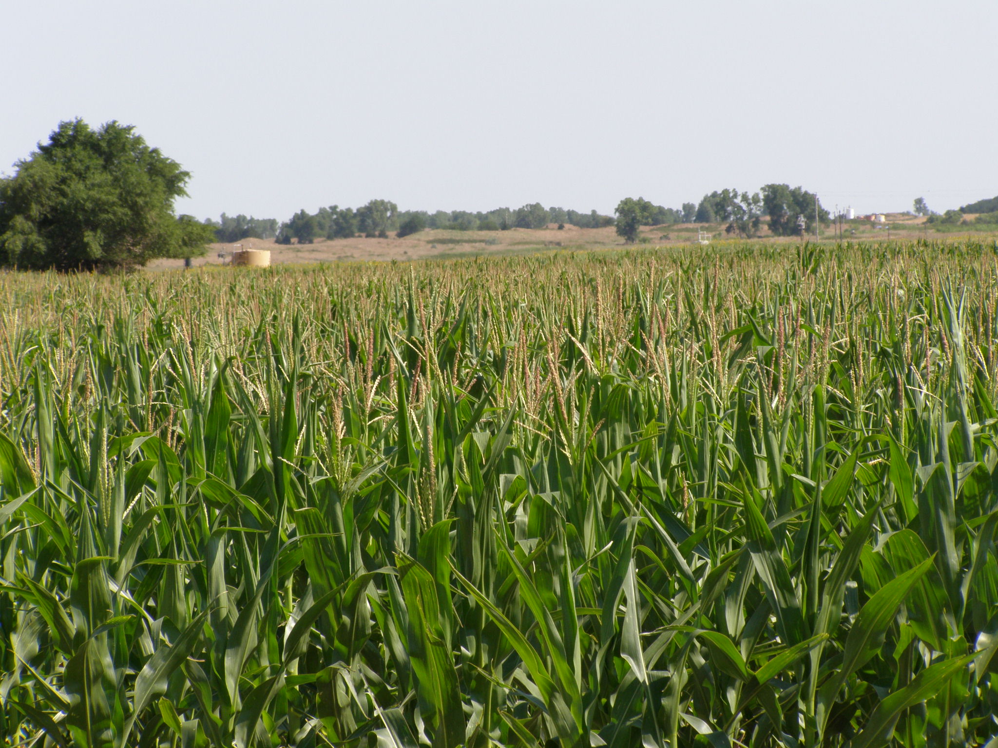
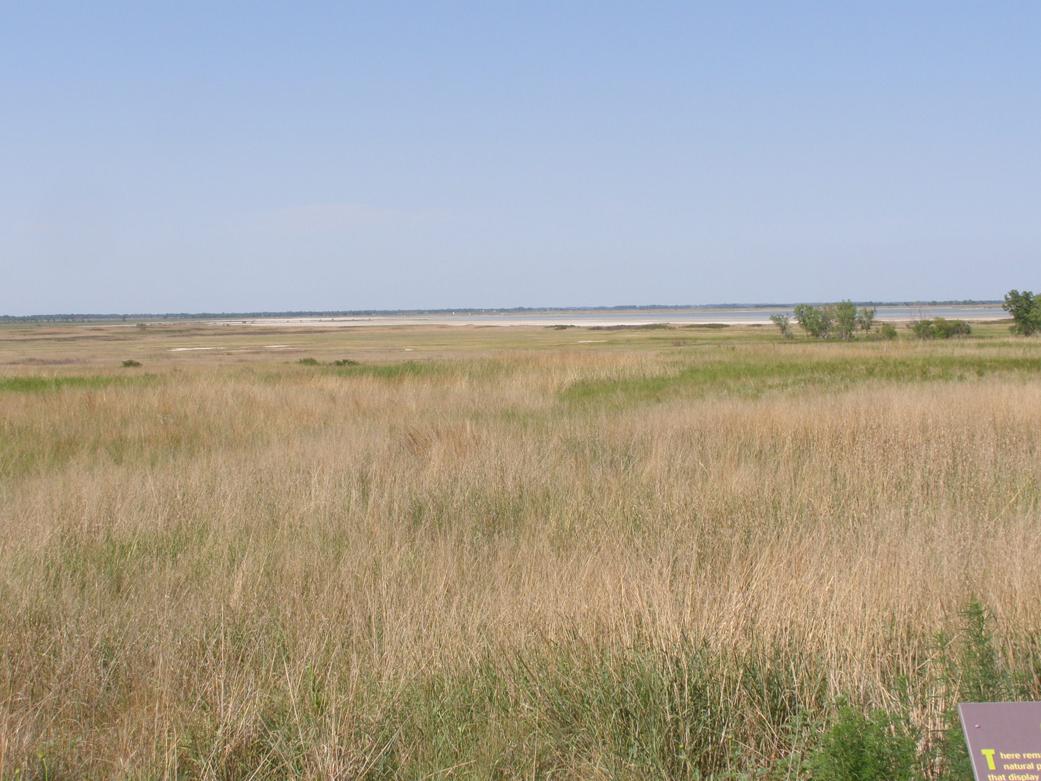
Rural Kansas!
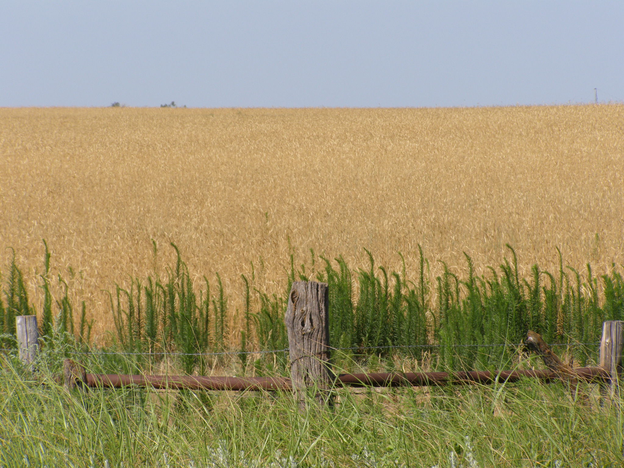
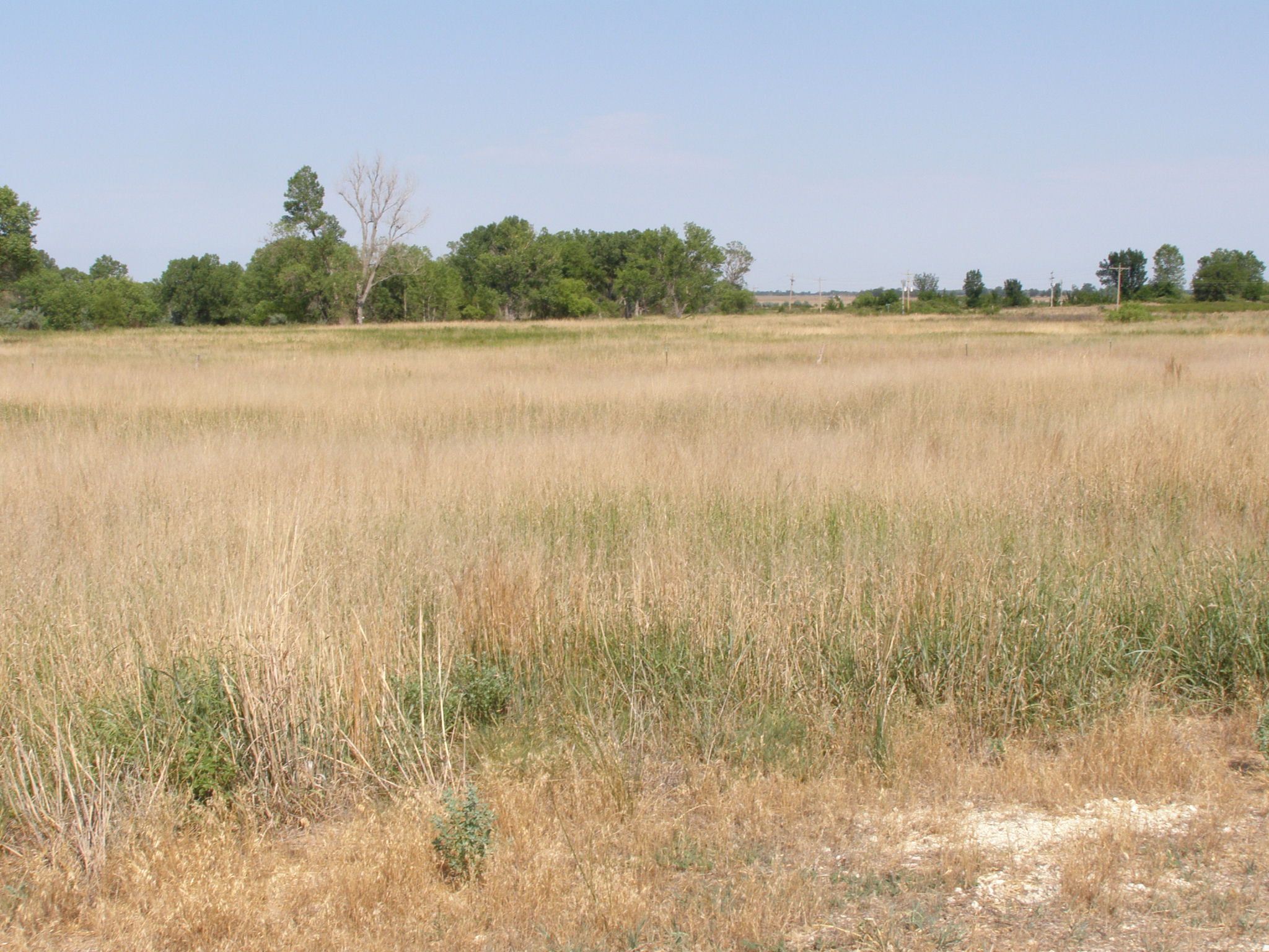
Rural Kansas!
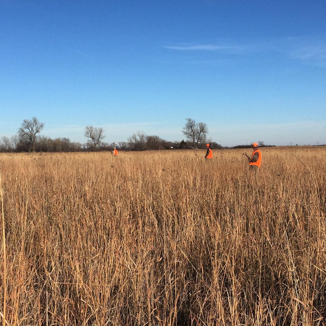
Little pheasant hunting while I'm back in Kansas for Christmas
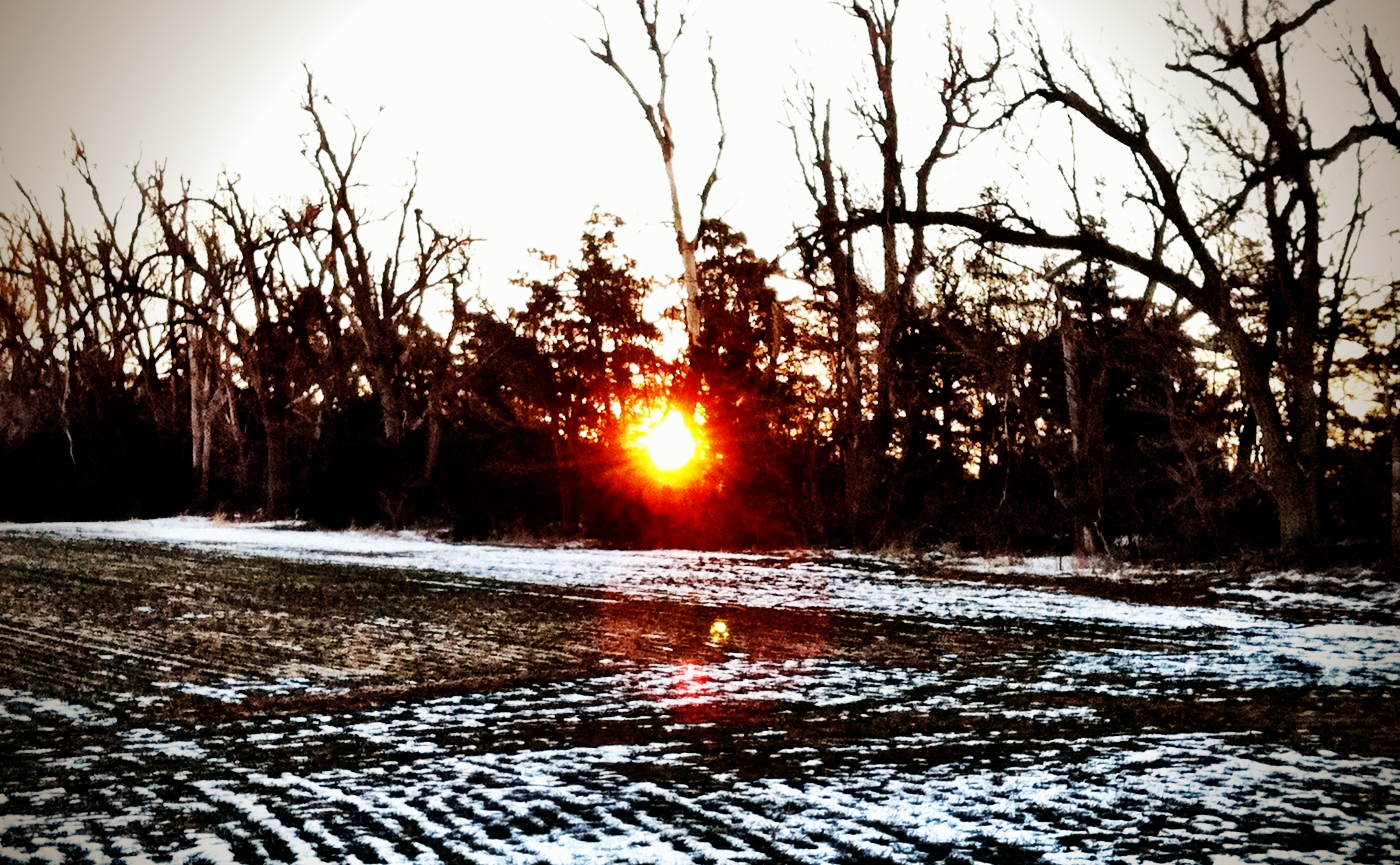
Shelterbelt Sunrise

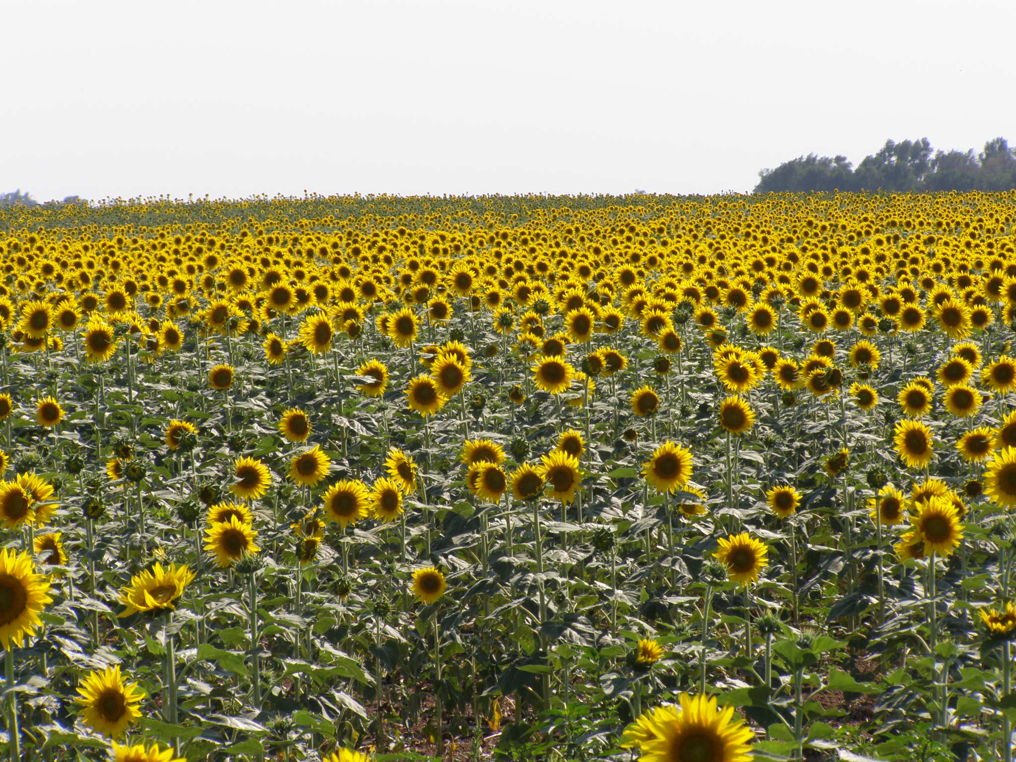
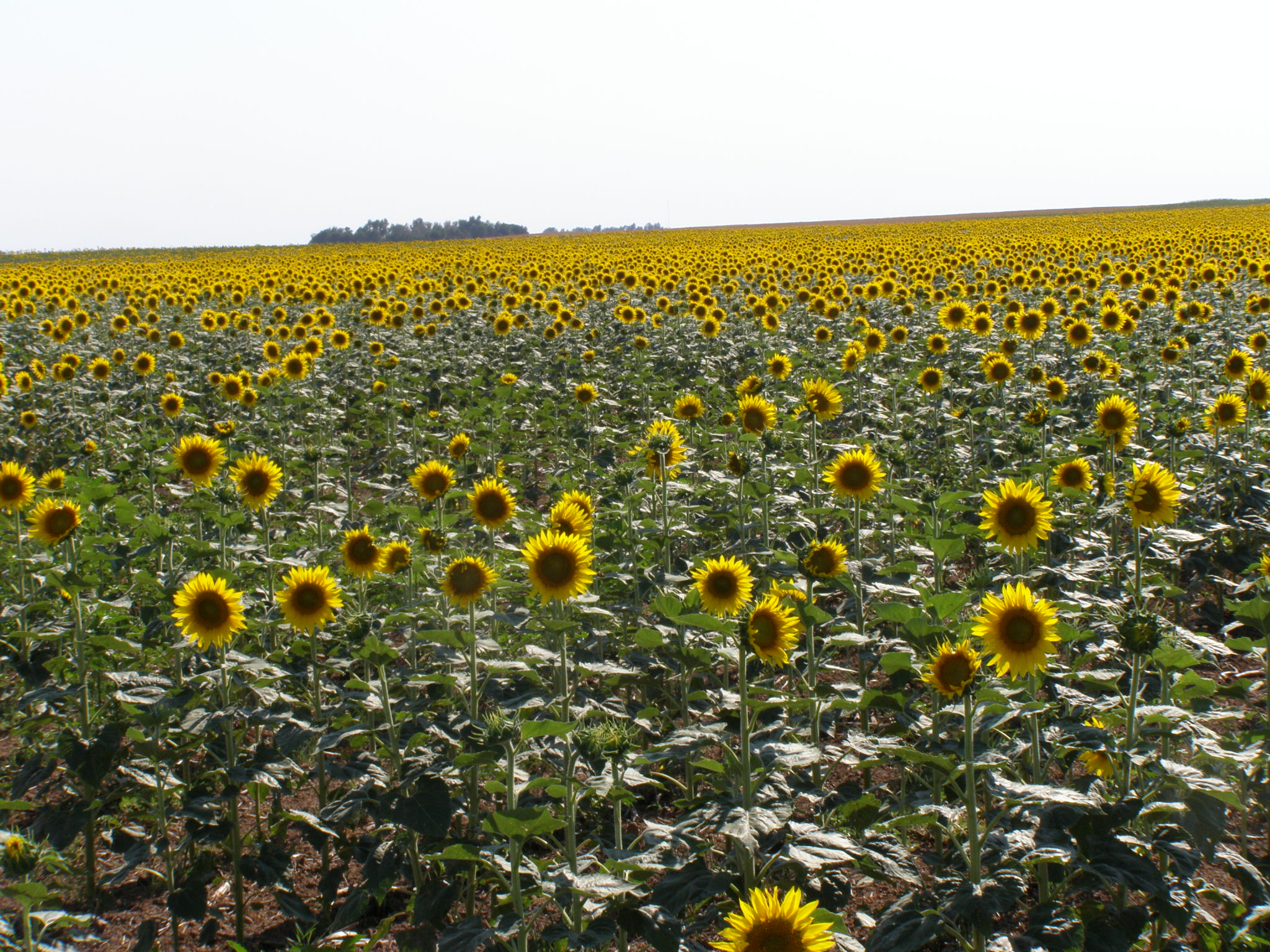
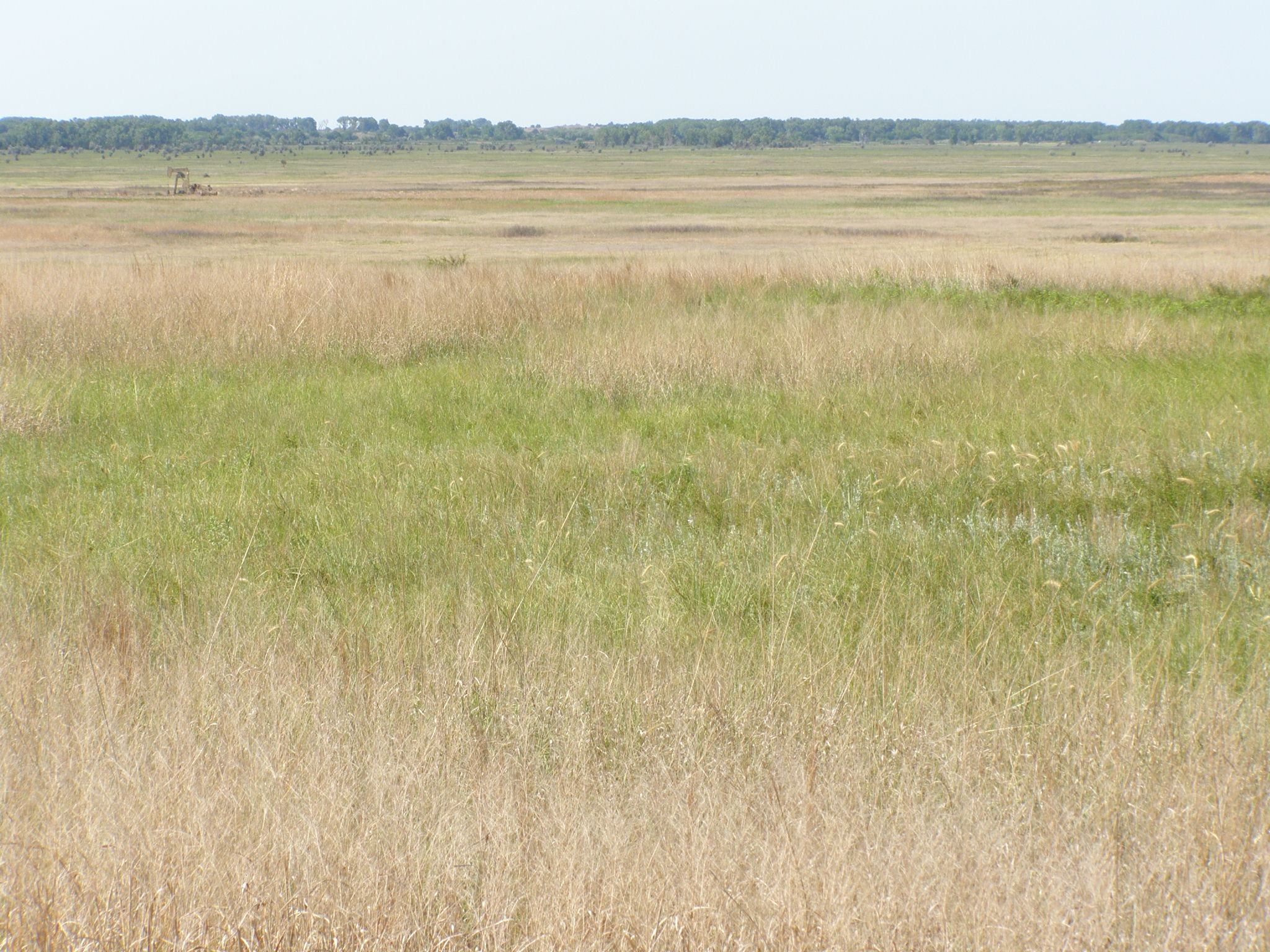
Rural Kansas!
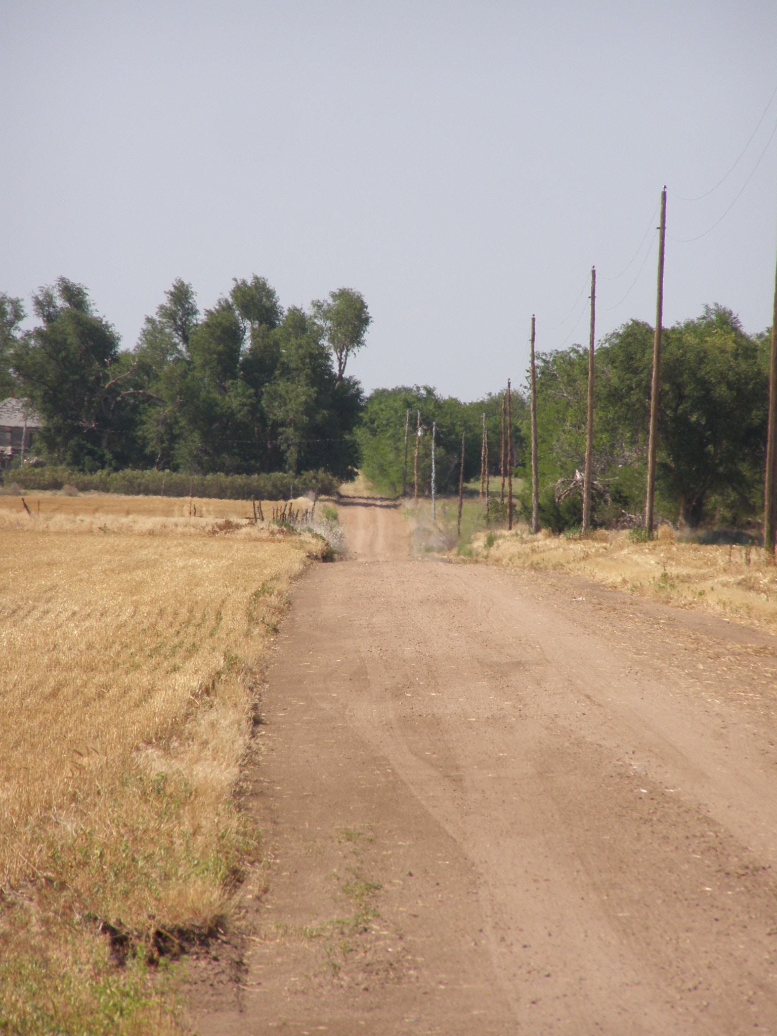
Rural Kansas!
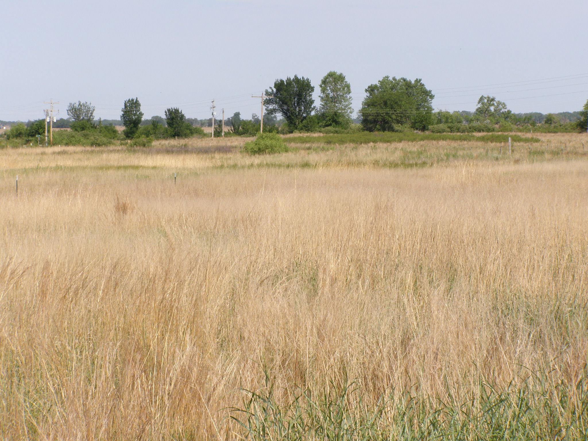
Rural Kansas!
Rural Kansas!
Rural Kansas!
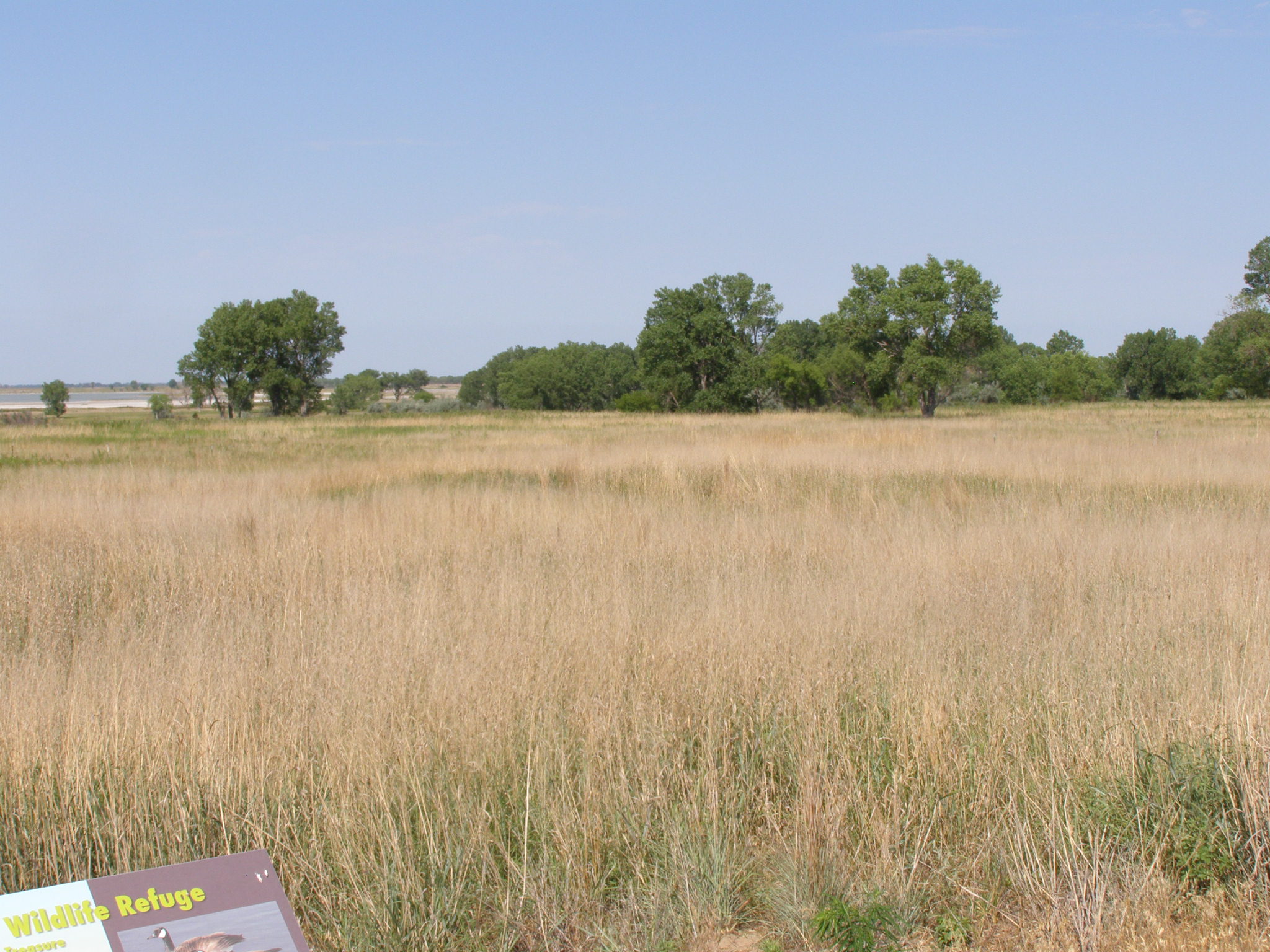
Rural Kansas!
Rural Kansas!
Rural Kansas!
Rural Kansas!
Rural Kansas!
Topographic Map of Stafford County, KS, USA
Find elevation by address:

Places in Stafford County, KS, USA:
Places near Stafford County, KS, USA:
River
Liberty
Big Salt Marsh
US-56, Great Bend, KS, USA
Barton County
Great Bend
Mull Farm
Ellinwood
E 2nd St, Ellinwood, KS, USA
Atra Service Center
South Homestead
US-, Hoisington, KS, USA
Hoisington
1503 Random Rd
1506 N Center St
1530 Random Rd
W Williamson St, Claflin, KS, USA
Claflin
Independent
Pawnee County
Recent Searches:
- Elevation of Corso Fratelli Cairoli, 35, Macerata MC, Italy
- Elevation of Tallevast Rd, Sarasota, FL, USA
- Elevation of 4th St E, Sonoma, CA, USA
- Elevation of Black Hollow Rd, Pennsdale, PA, USA
- Elevation of Oakland Ave, Williamsport, PA, USA
- Elevation of Pedrógão Grande, Portugal
- Elevation of Klee Dr, Martinsburg, WV, USA
- Elevation of Via Roma, Pieranica CR, Italy
- Elevation of Tavkvetili Mountain, Georgia
- Elevation of Hartfords Bluff Cir, Mt Pleasant, SC, USA