Elevation of Claflin, KS, USA
Location: United States > Kansas > Barton County > Independent >
Longitude: -98.533684
Latitude: 38.525011
Elevation: 553m / 1814feet
Barometric Pressure: 95KPa
Elevation Map:
Satellite Map:
Related Photos:

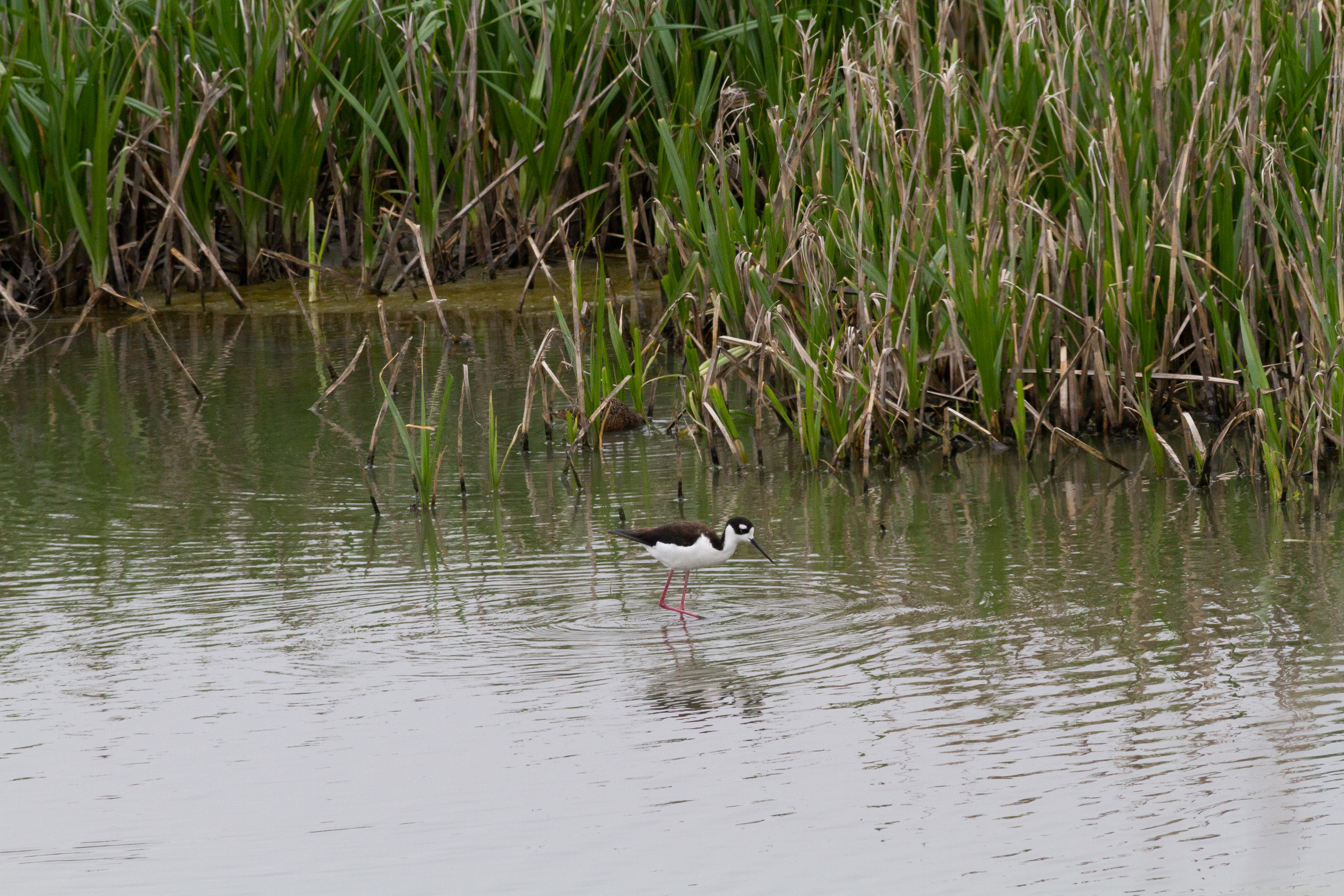
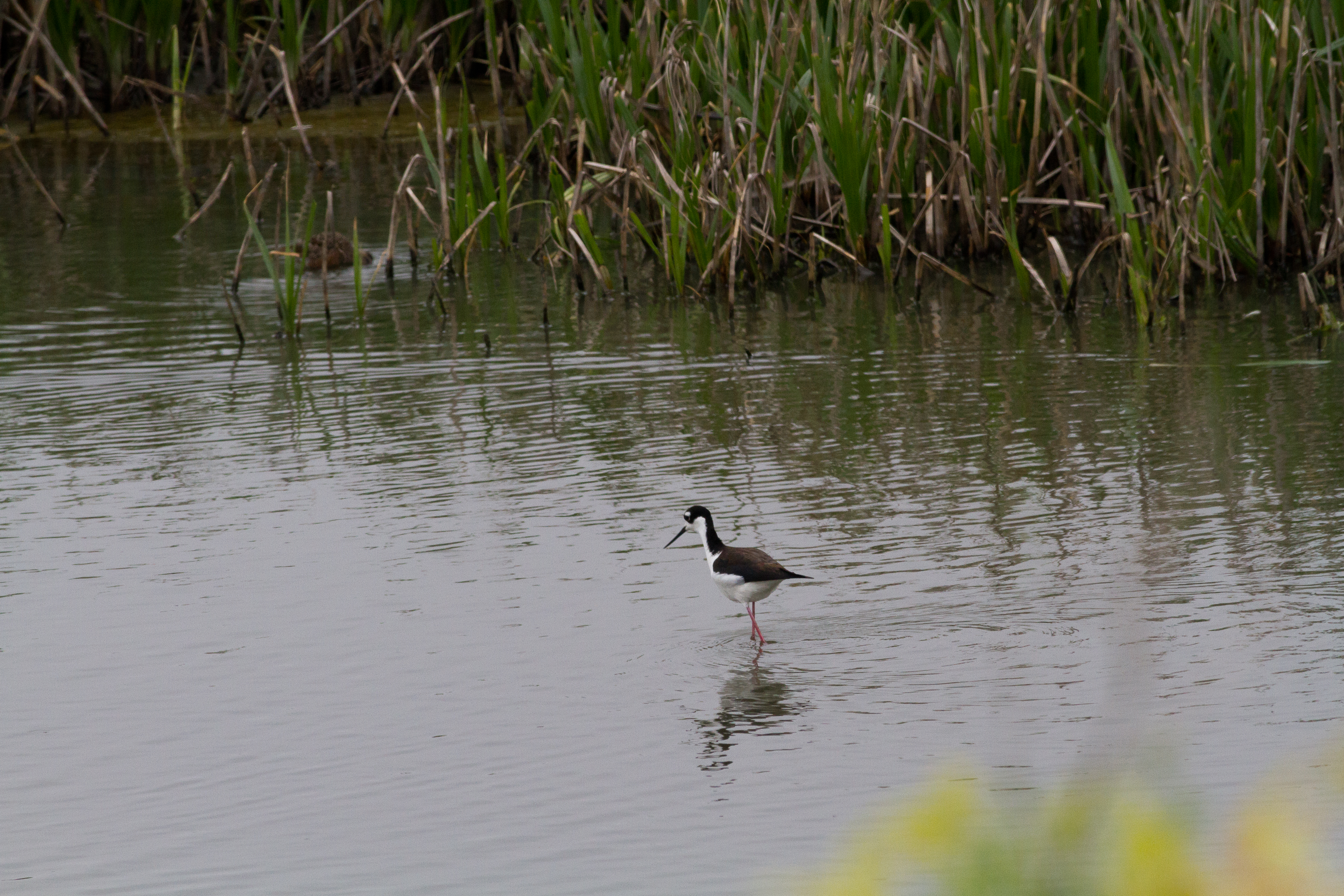
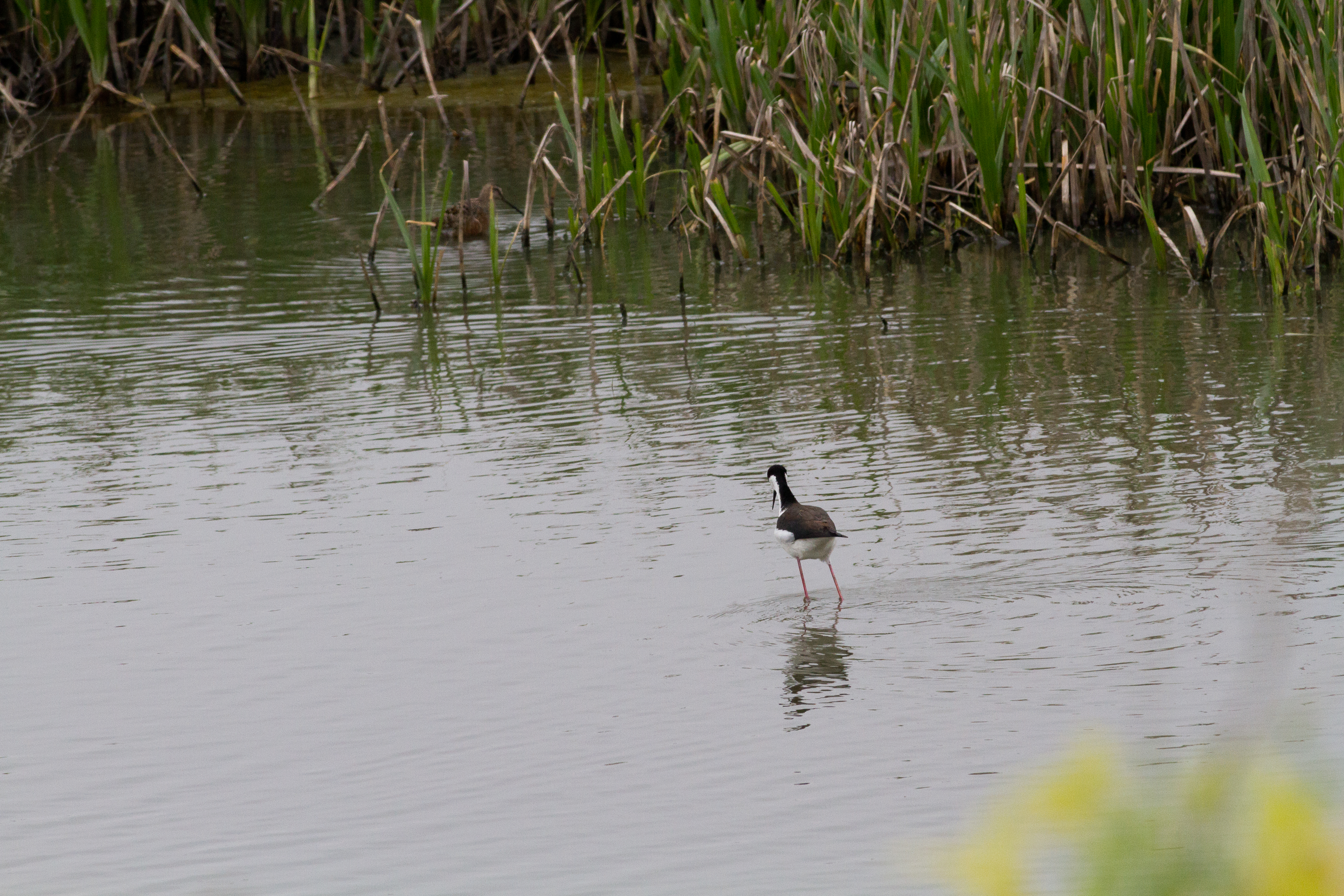
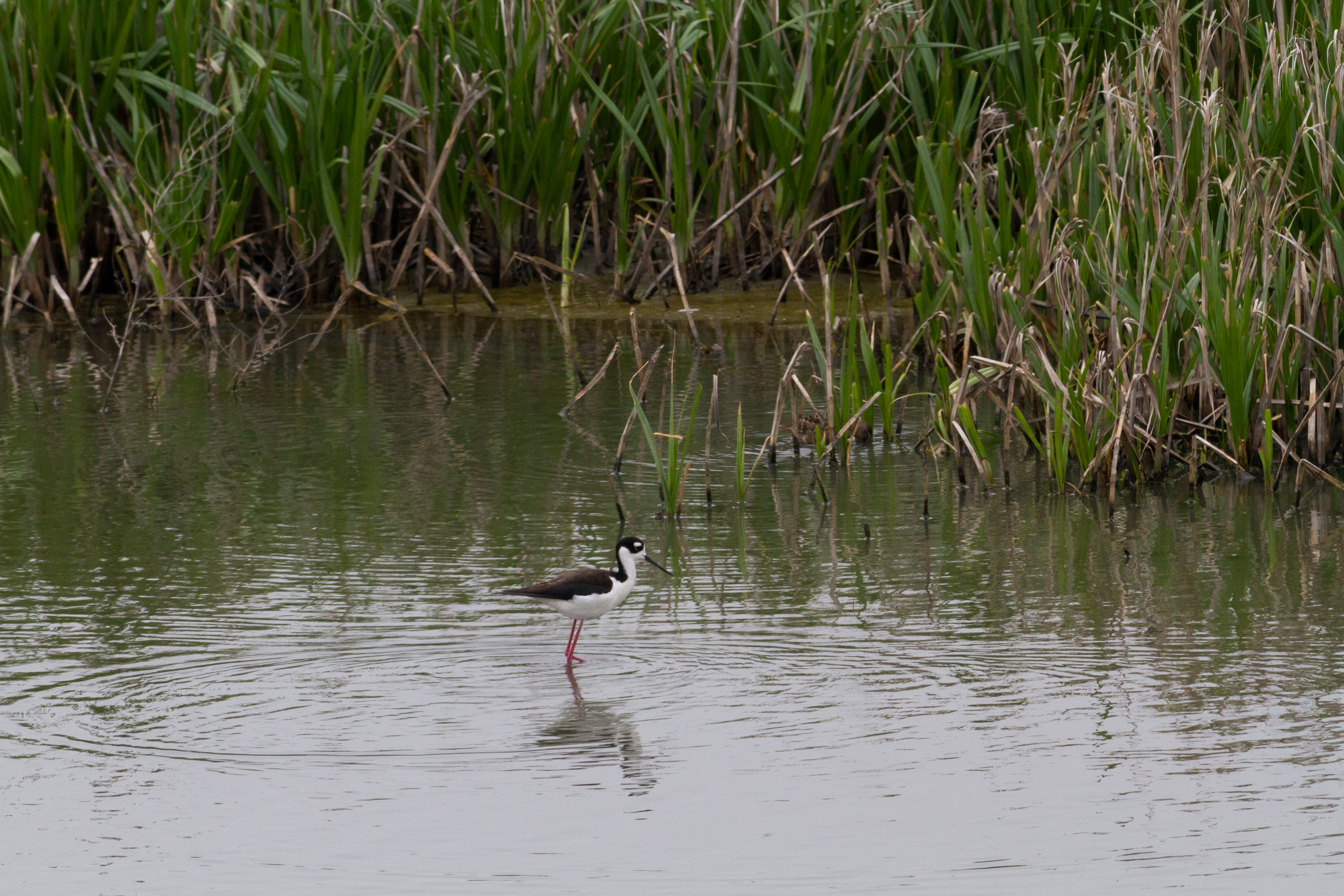
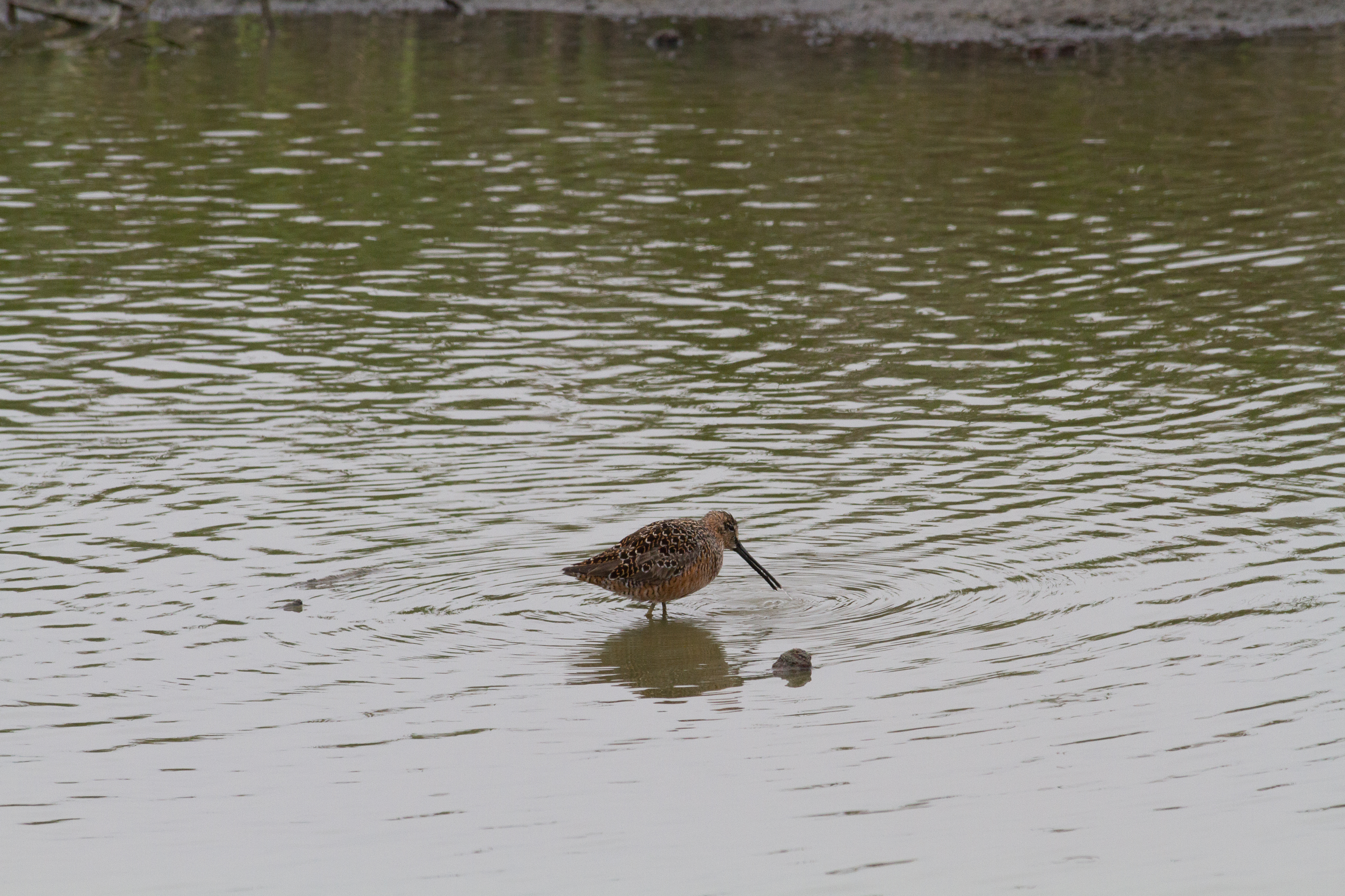
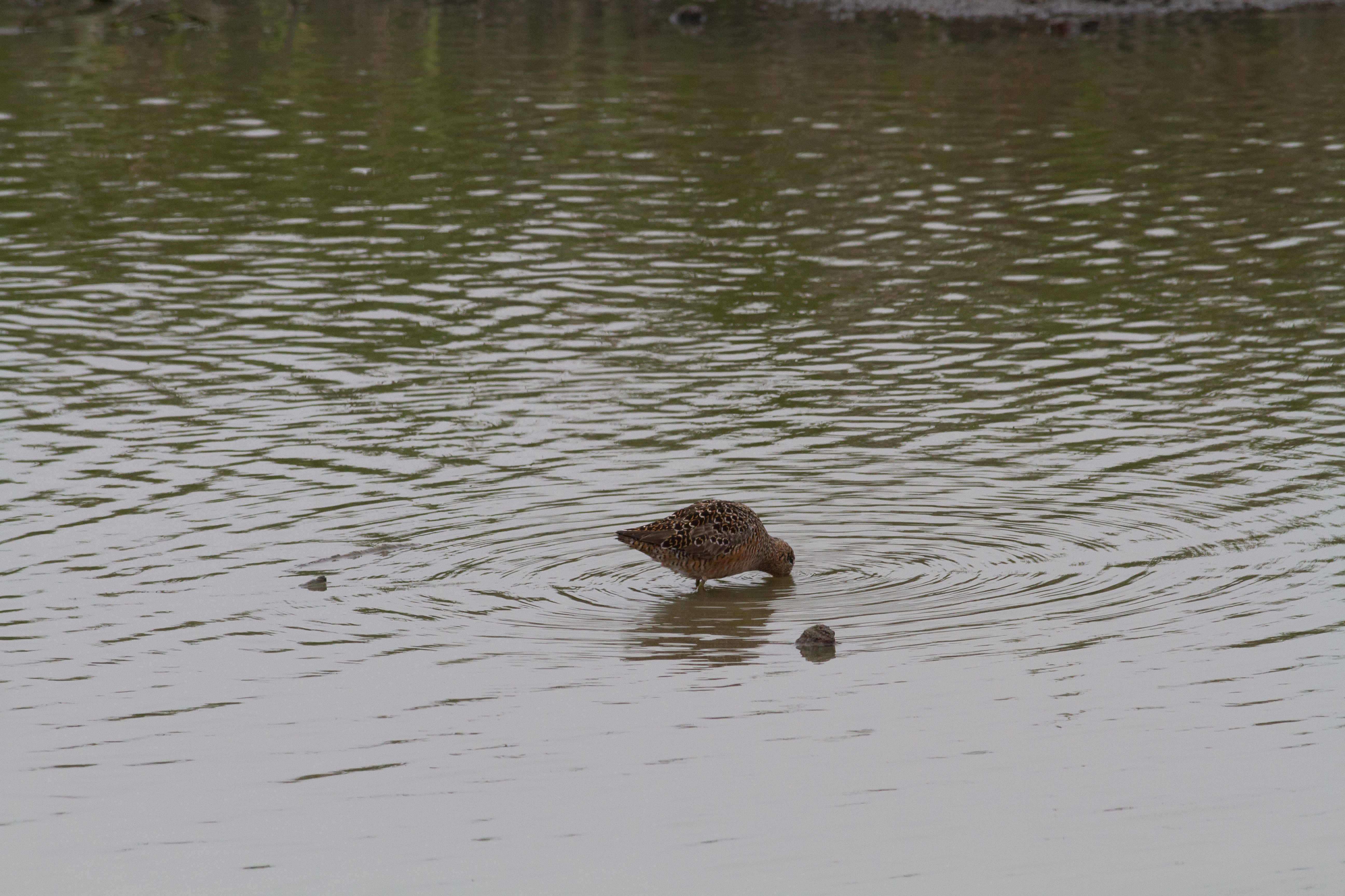
Cheyenne Bottoms

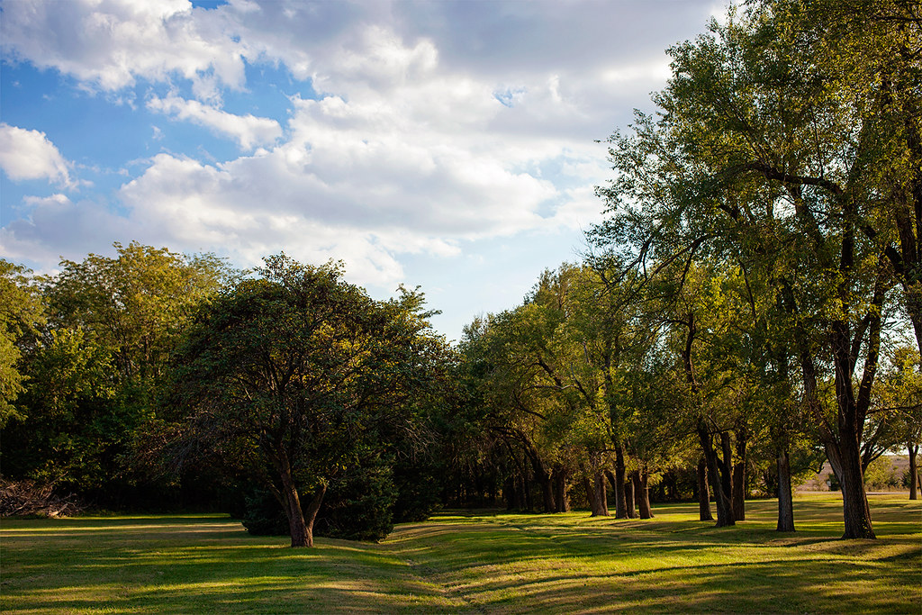
Enjoying the view

Enjoying the view

Enjoying the view

Setting Sun

untitled201204290088.jpg

untitled201204290089.jpg
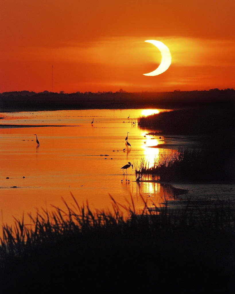
Solar Eclipse
untitled201204290058.jpg
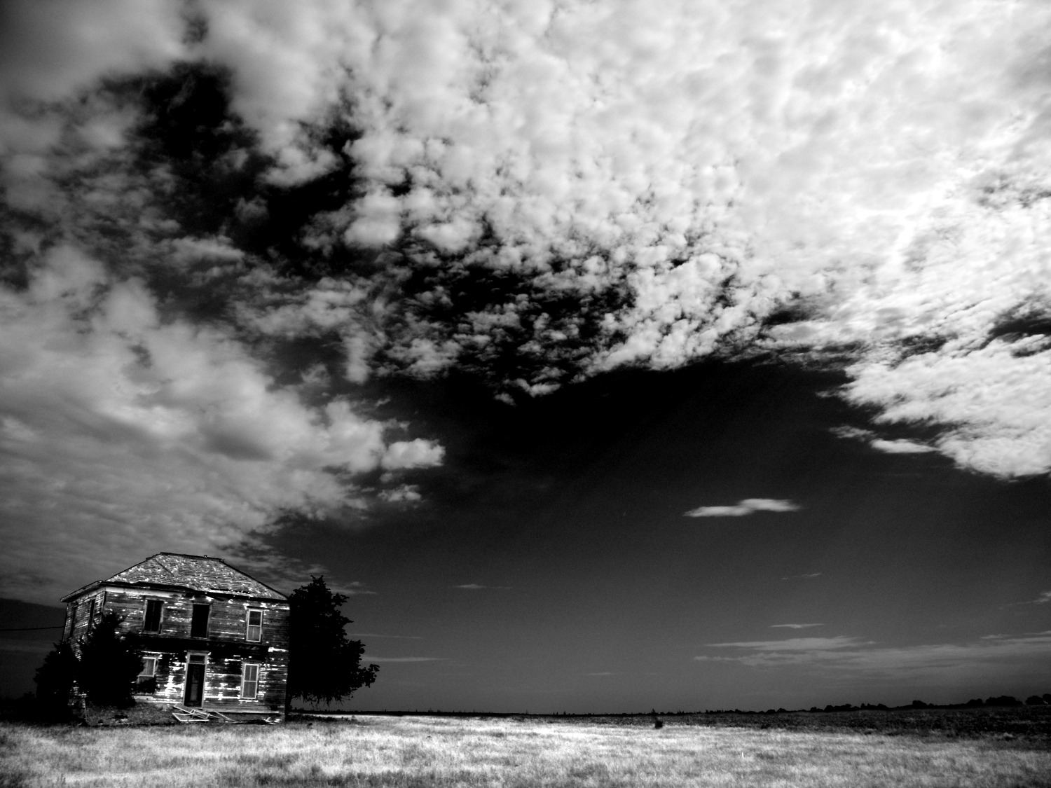
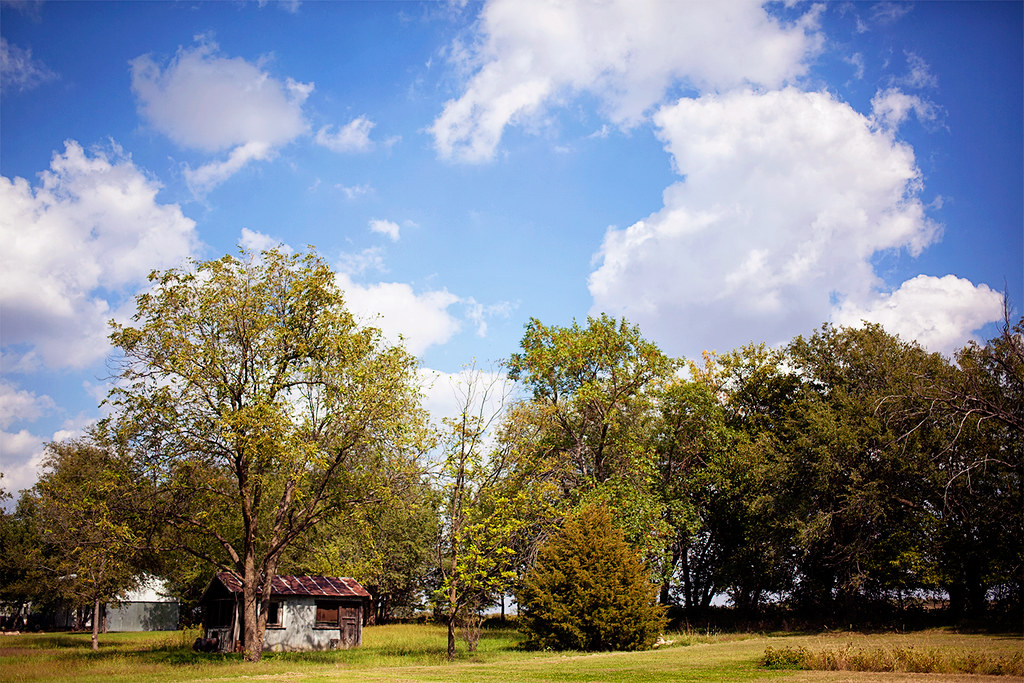
Old House on the Prairie
untitled201204290055.jpg
untitled201204290056.jpg
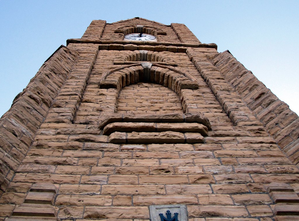
Odin Catholic Church
untitled201204290057.jpg

untitled201204290033.jpg

untitled201204290021.jpg
untitled201204290031.jpg

untitled201204290062.jpg

untitled201204290030.jpg
untitled201204290032.jpg
Late Afternoon Light

Into the Wild
Coming Home
Topographic Map of Claflin, KS, USA
Find elevation by address:

Places in Claflin, KS, USA:
Places near Claflin, KS, USA:
W Williamson St, Claflin, KS, USA
Independent
E 2nd St, Ellinwood, KS, USA
Ellinwood
South Homestead
Hoisington
US-, Hoisington, KS, USA
1530 Random Rd
1503 Random Rd
1506 N Center St
Great Bend
Barton County
Plymouth
27th St, Wilson, KS, USA
Wilson
Old 40 Rd, Dorrance, KS, USA
Dorrance
Big Salt Marsh
Liberty
US-56, Great Bend, KS, USA
Recent Searches:
- Elevation of Slanický ostrov, 01 Námestovo, Slovakia
- Elevation of Spaceport America, Co Rd A, Truth or Consequences, NM, USA
- Elevation of Warwick, RI, USA
- Elevation of Fern Rd, Whitmore, CA, USA
- Elevation of 62 Abbey St, Marshfield, MA, USA
- Elevation of Fernwood, Bradenton, FL, USA
- Elevation of Felindre, Swansea SA5 7LU, UK
- Elevation of Leyte Industrial Development Estate, Isabel, Leyte, Philippines
- Elevation of W Granada St, Tampa, FL, USA
- Elevation of Pykes Down, Ivybridge PL21 0BY, UK