Elevation of ATRA Service Center, Main St, Larned, KS, USA
Location: United States > Kansas >
Longitude: -99.099482
Latitude: 38.1781946
Elevation: 611m / 2005feet
Barometric Pressure: 94KPa
Elevation Map:
Satellite Map:
Related Photos:
Pawnee Rock- Barton County KS (20)
Pawnee Rock- Barton County KS (3)
Pawnee Rock- Barton County KS (17)
Pawnee Rock- Barton County KS (14)
Pawnee Rock- Barton County KS (6)
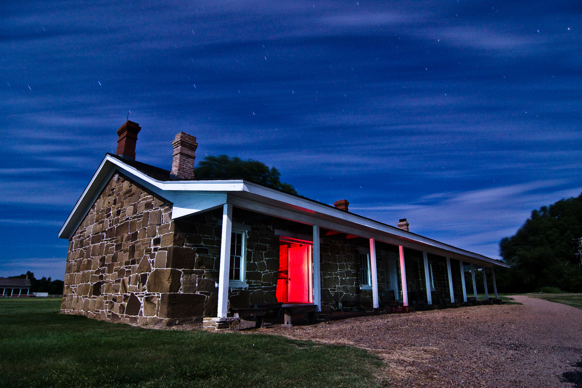
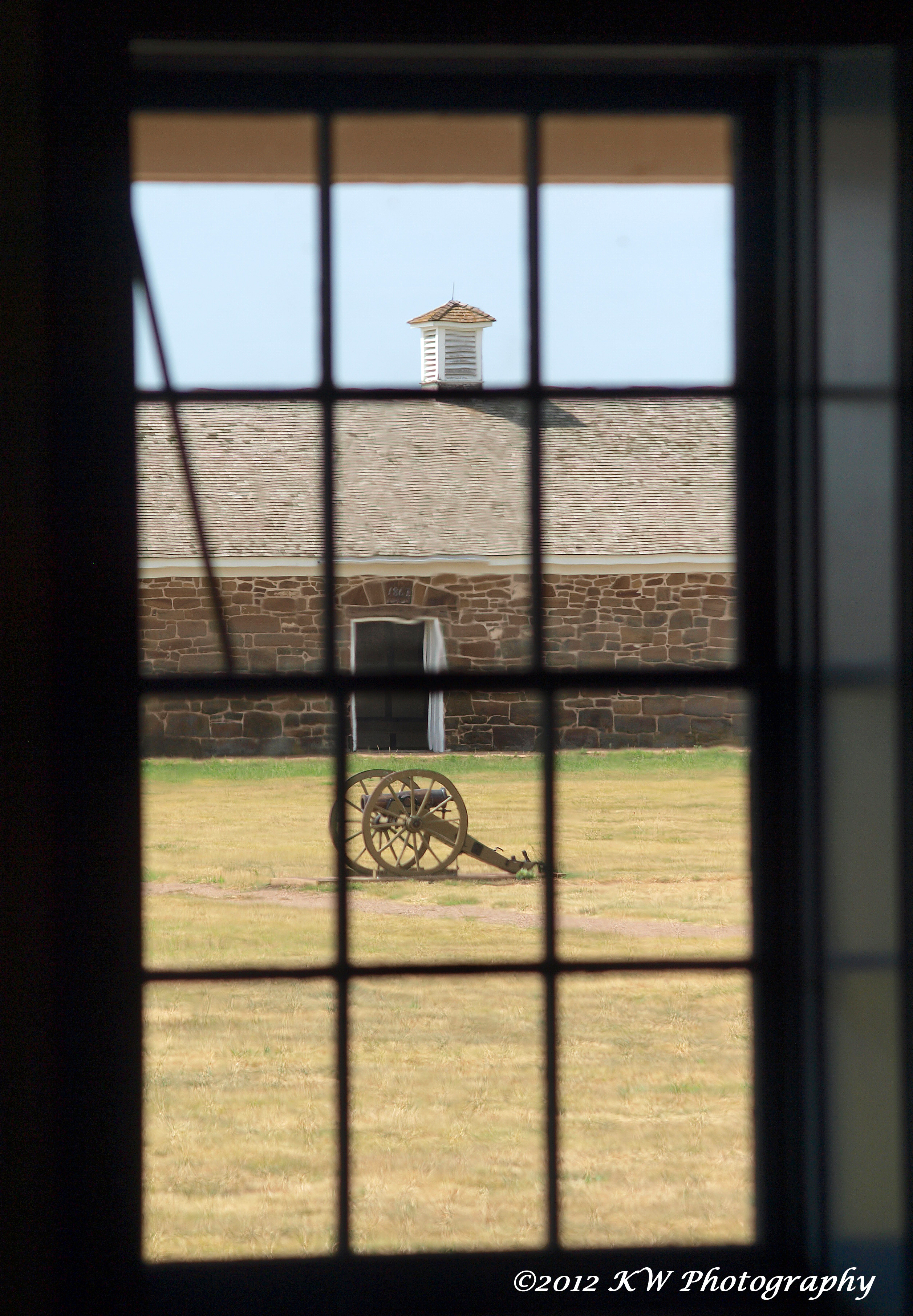
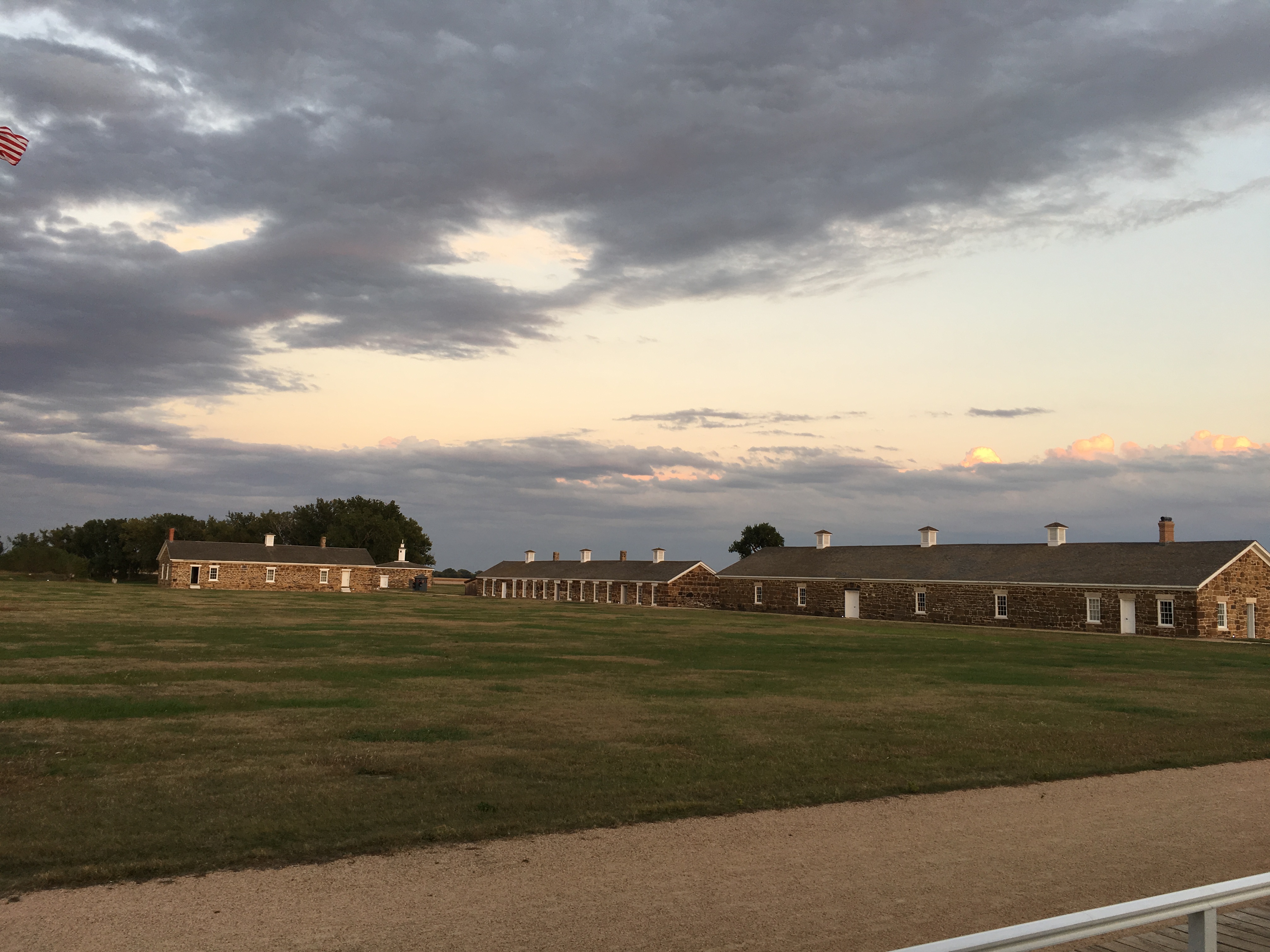
Fort Larned
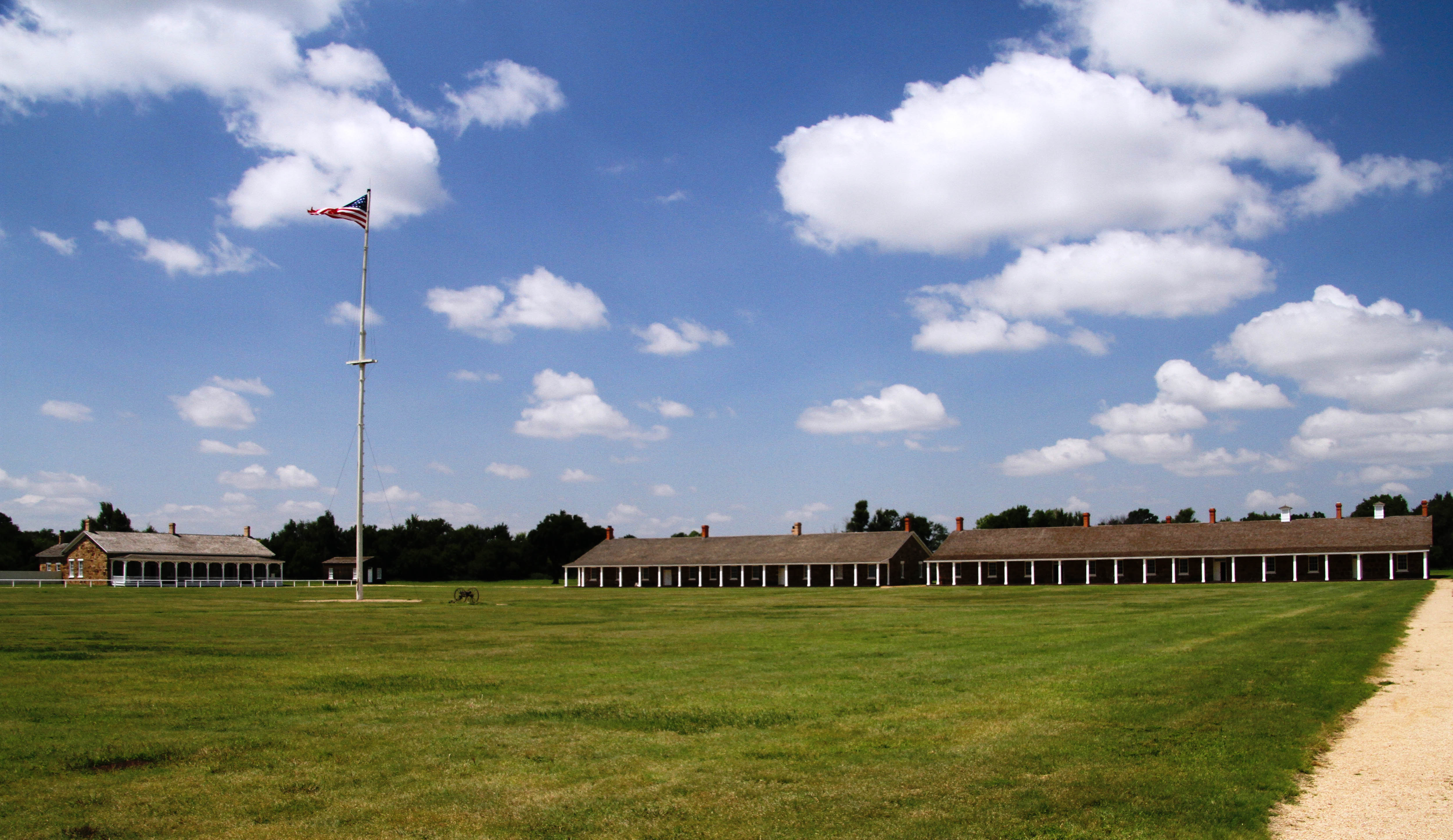
Fort Larned, Kansas
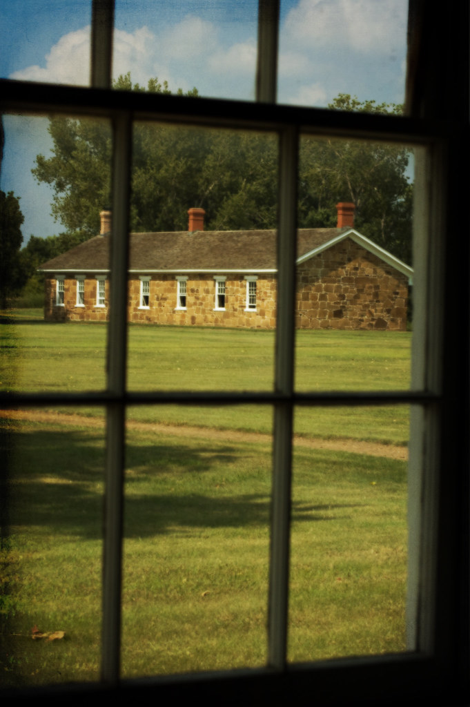
View at Old Fort Larned
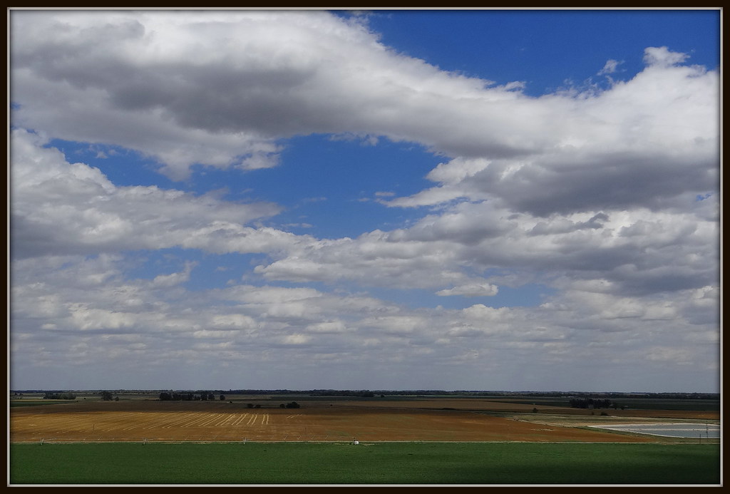
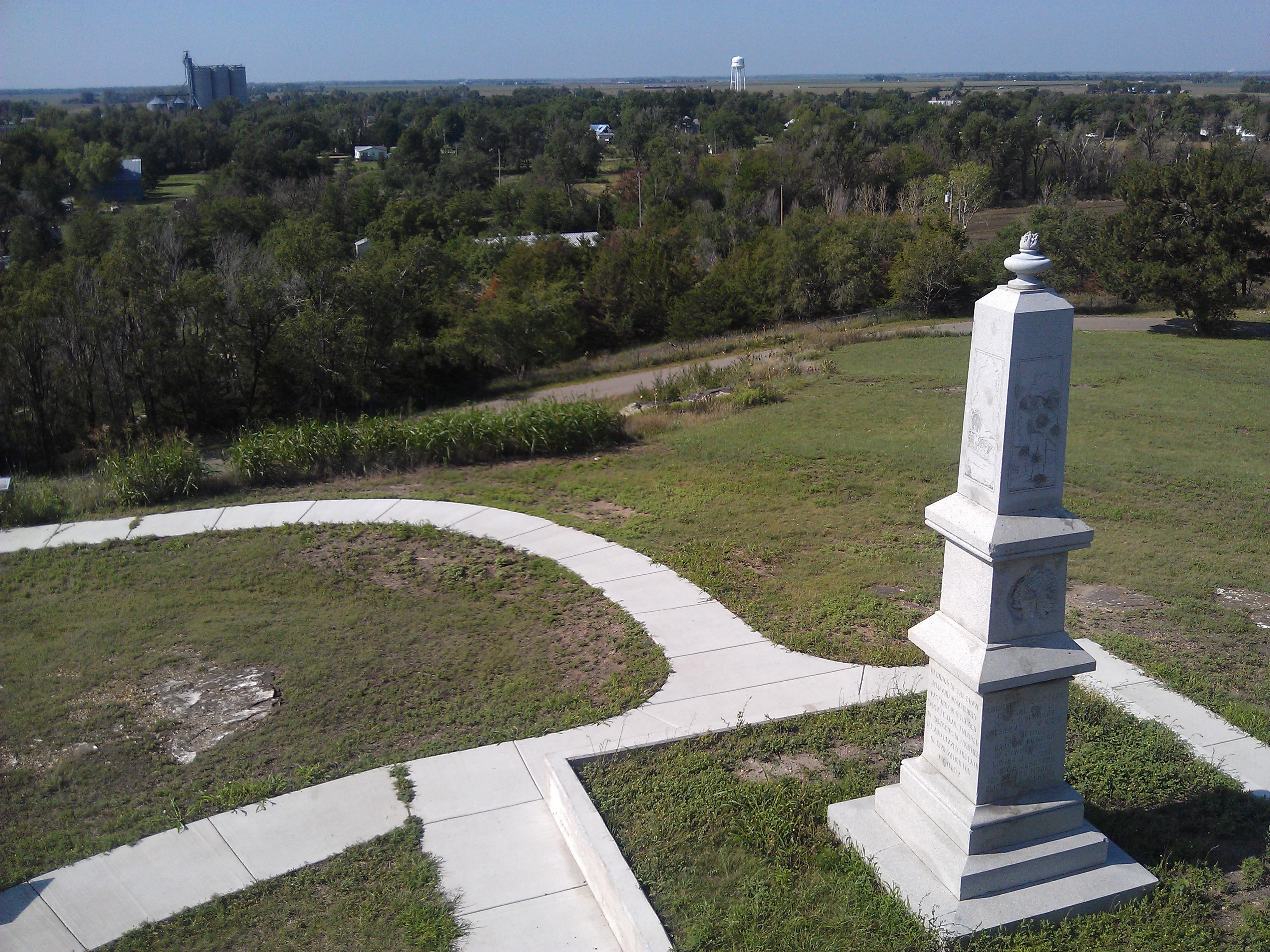
The View From Pawnee Rock, Kansas
Pawnee Rock- Barton County KS (16)
Pawnee Rock- Barton County KS (9)
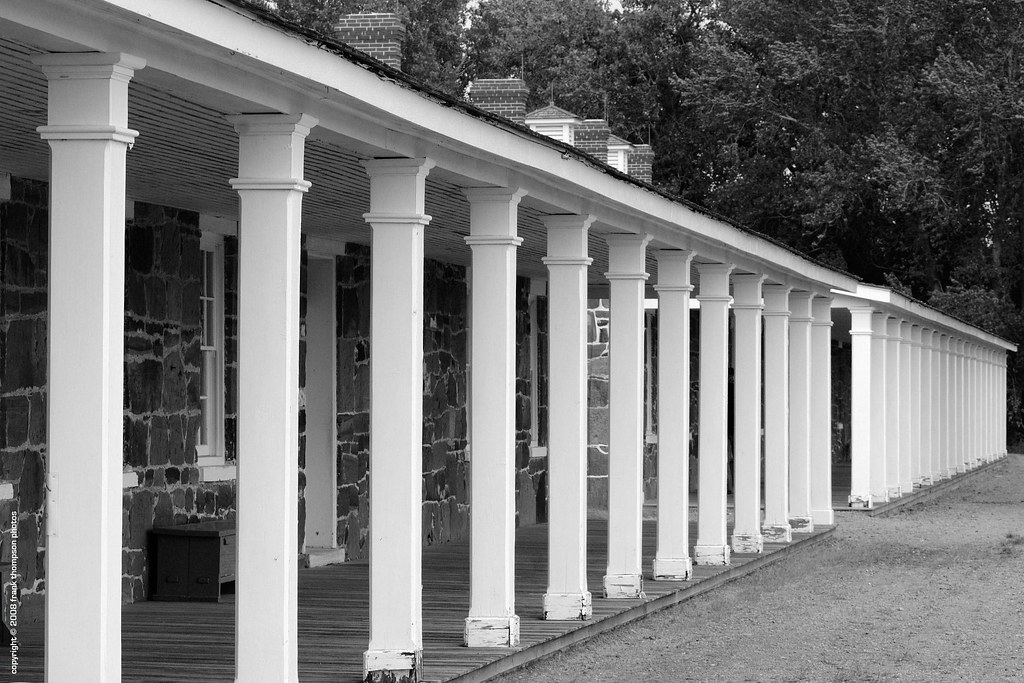
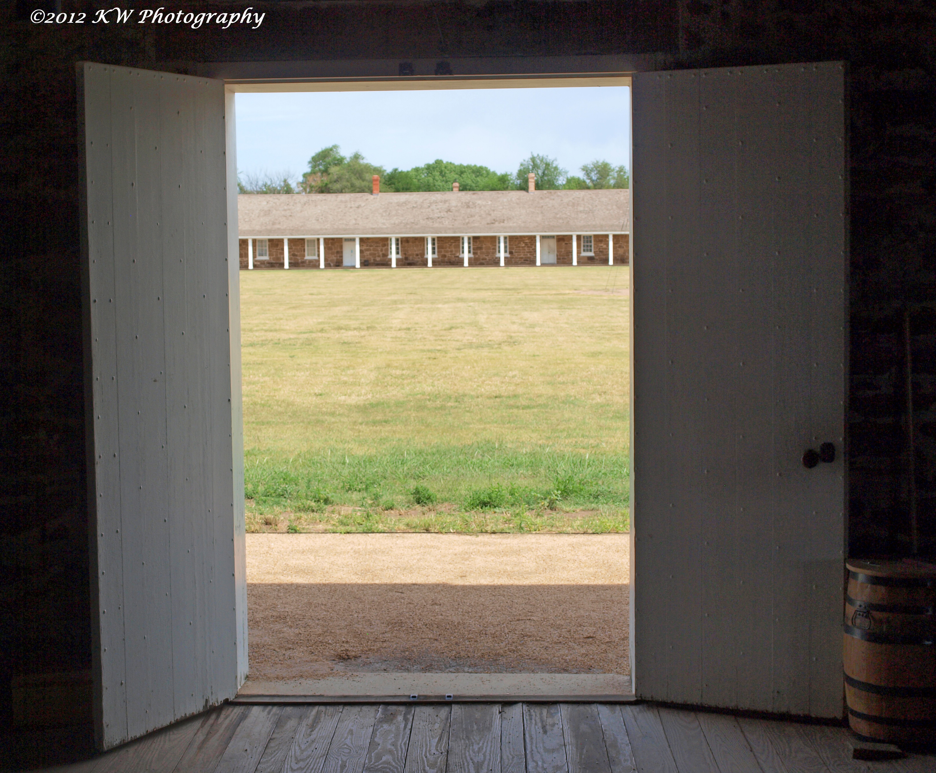
Old Commissary
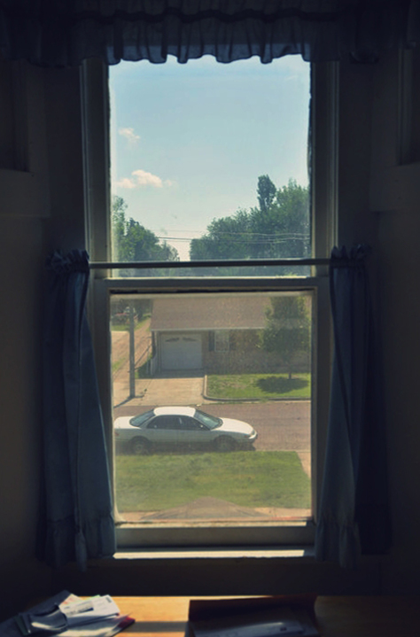
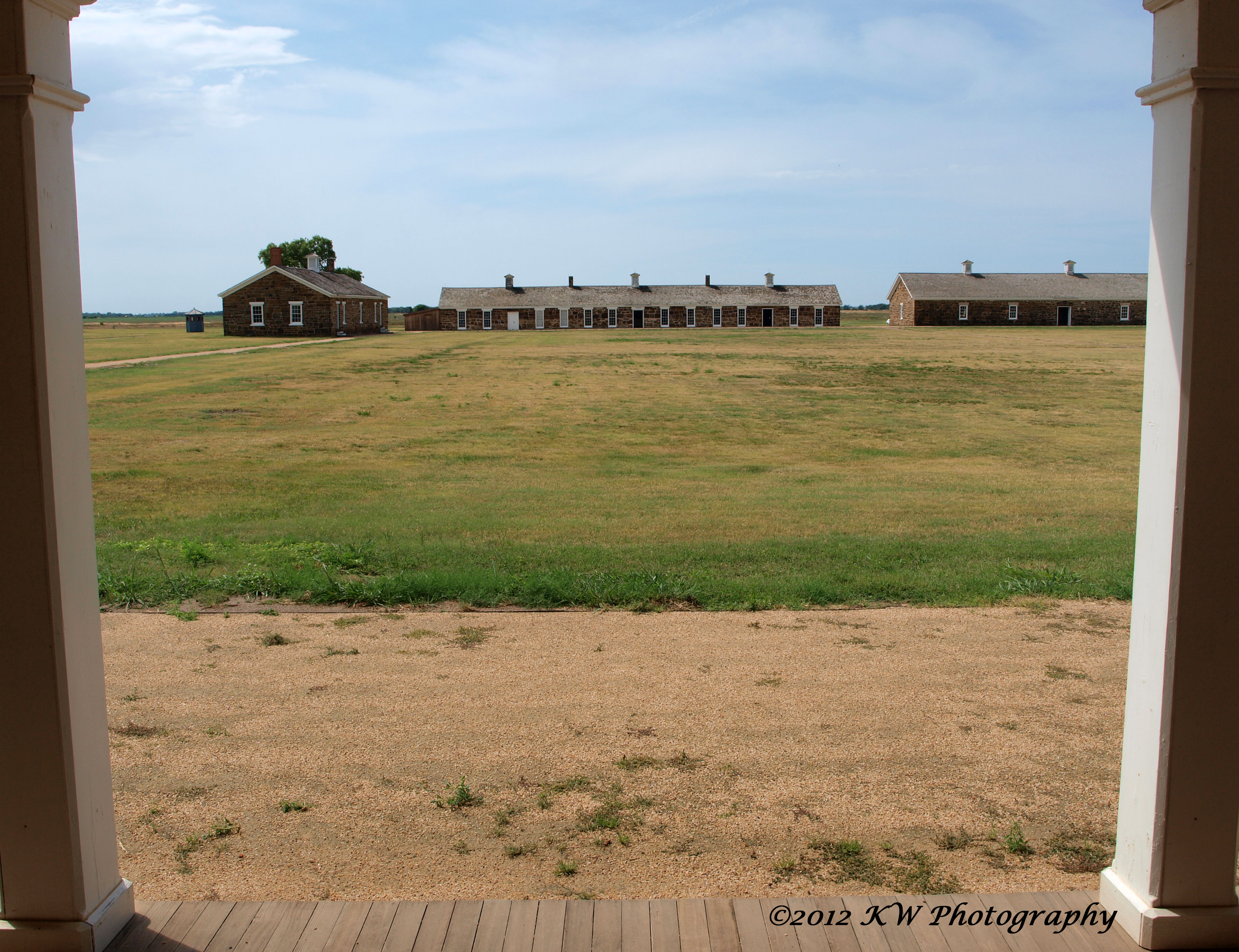
Breakfast Table View
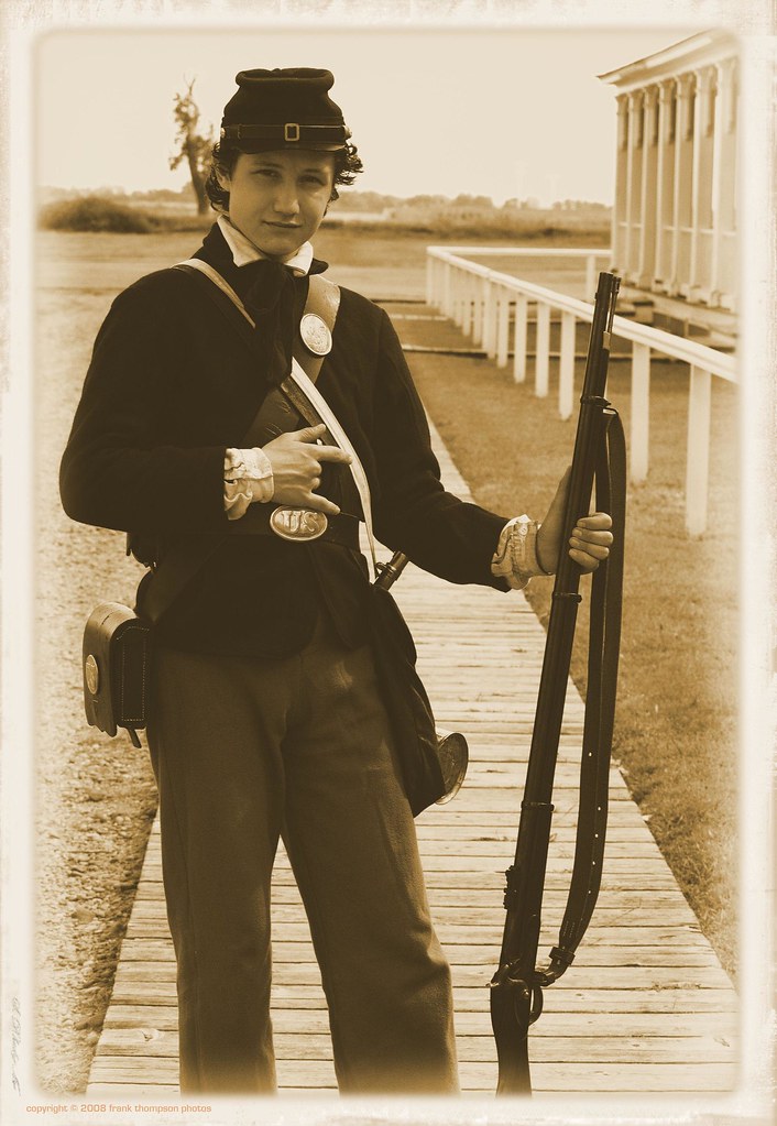
Views of Fort Larned - Young foot soldier
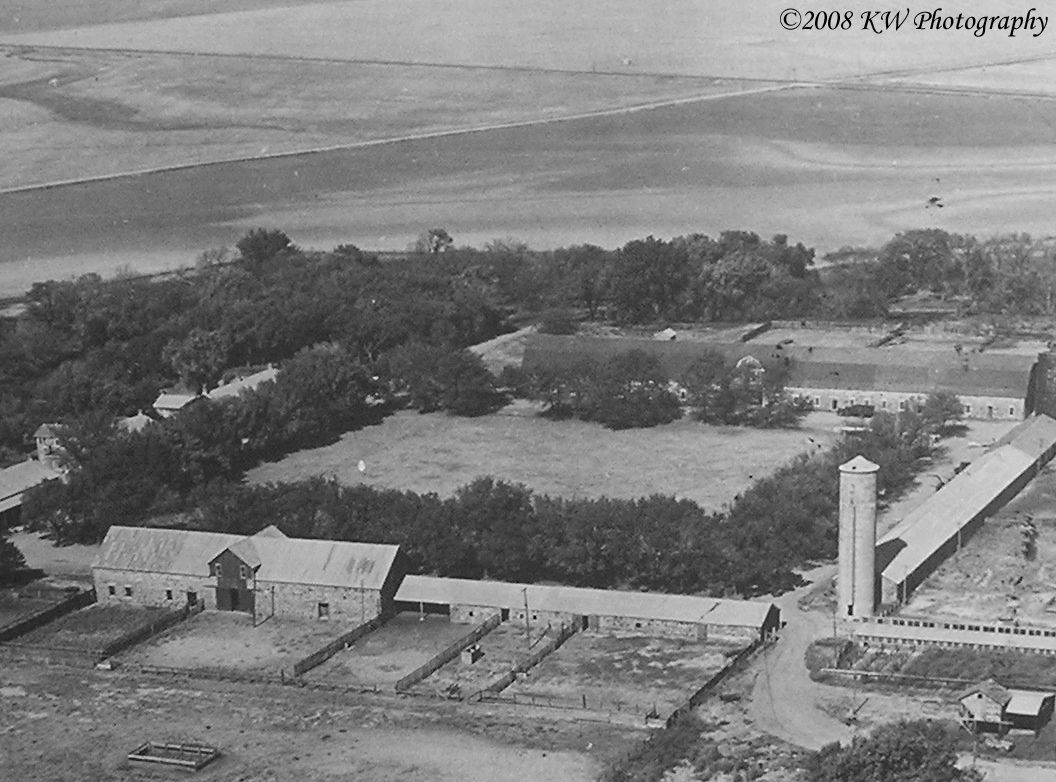
Aerial View
Views of Fort Larned
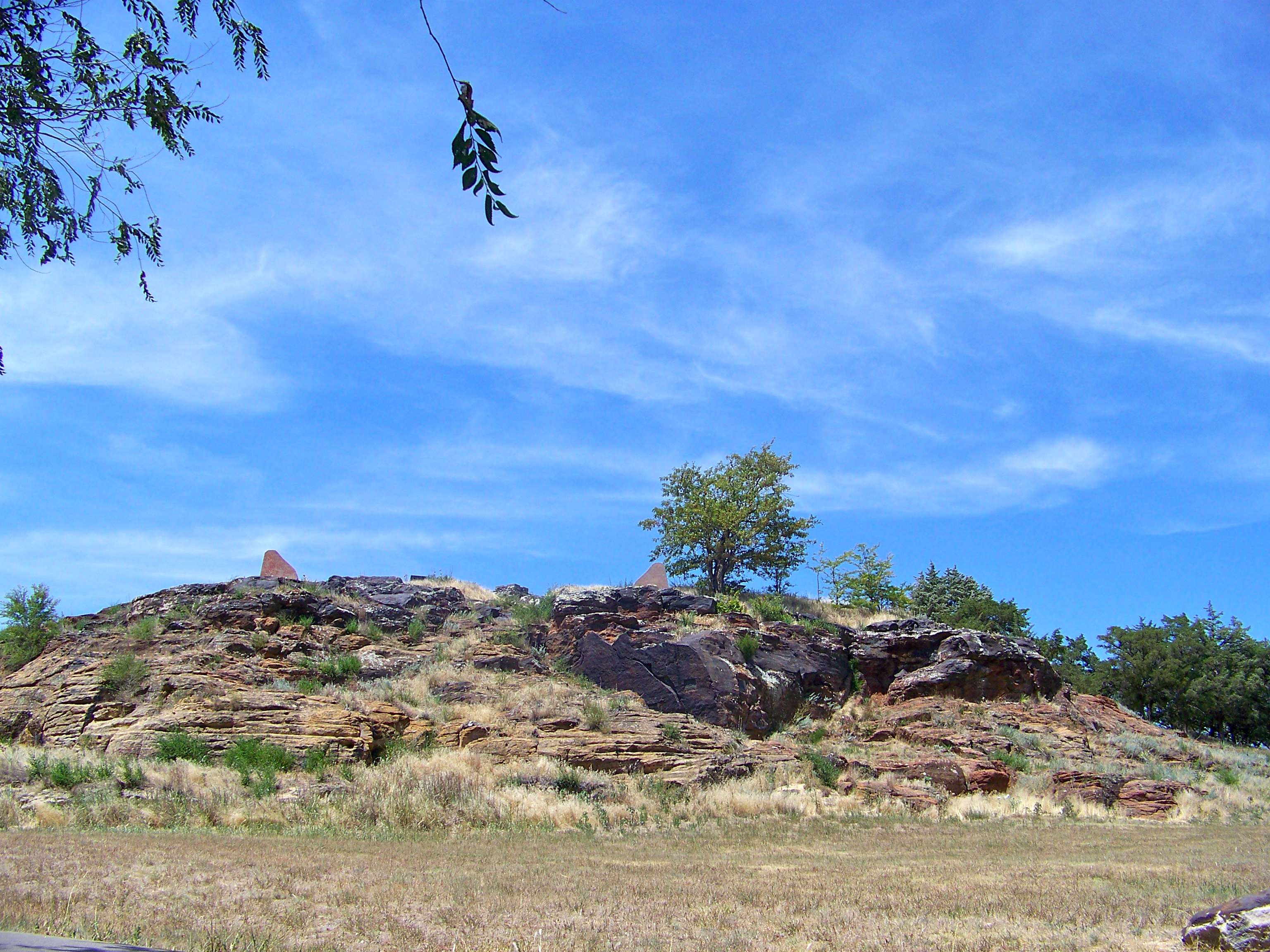
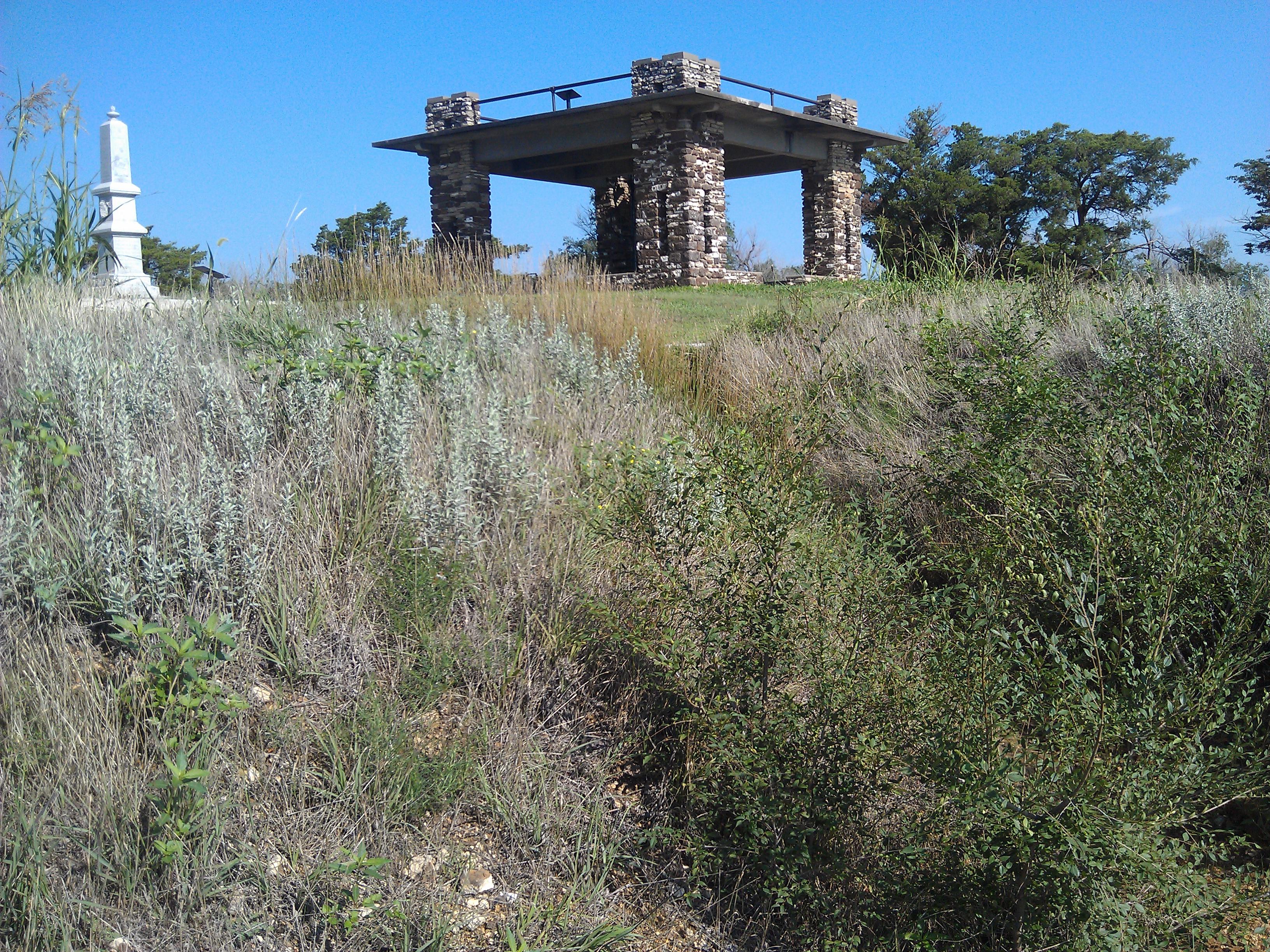
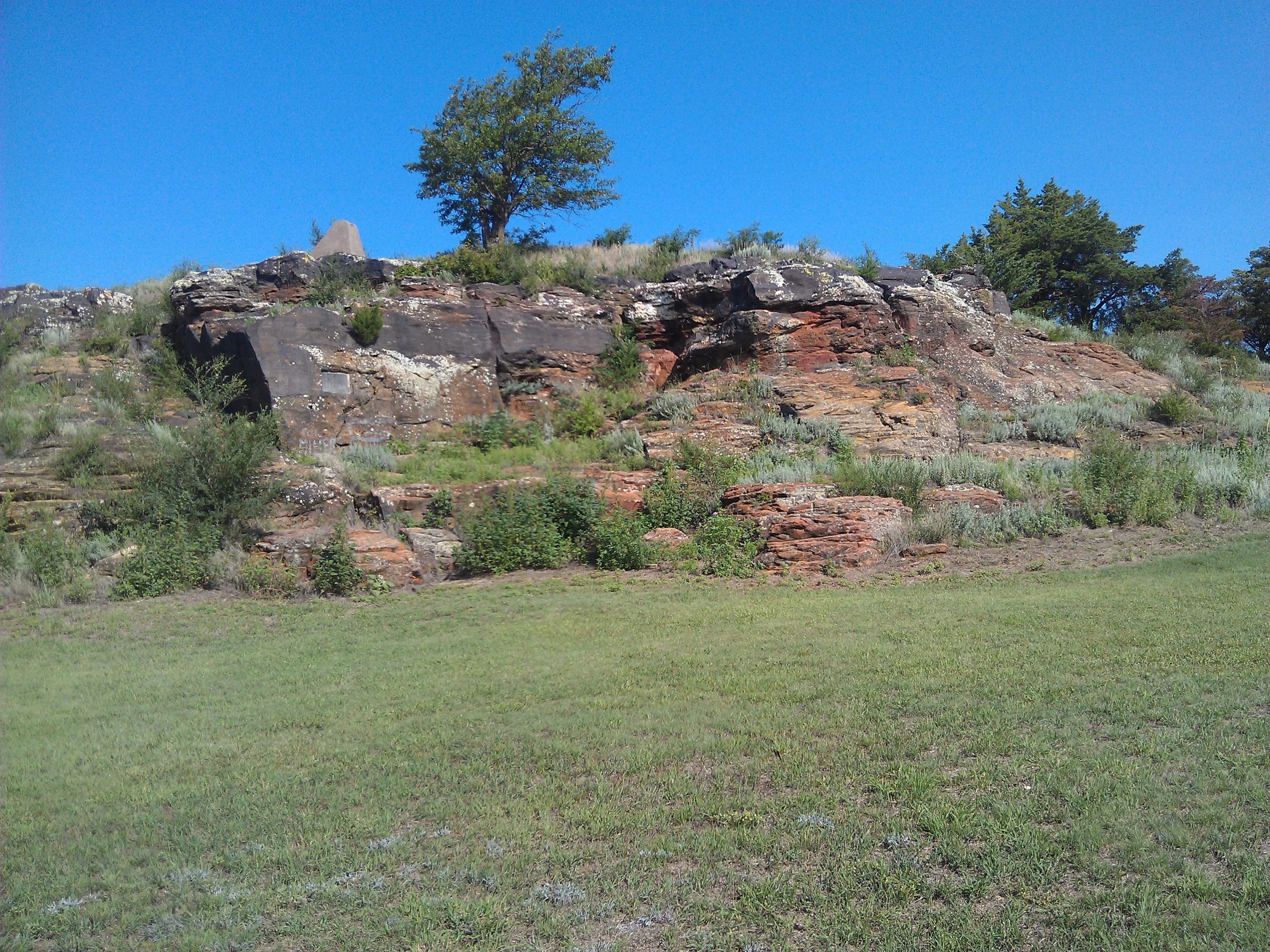
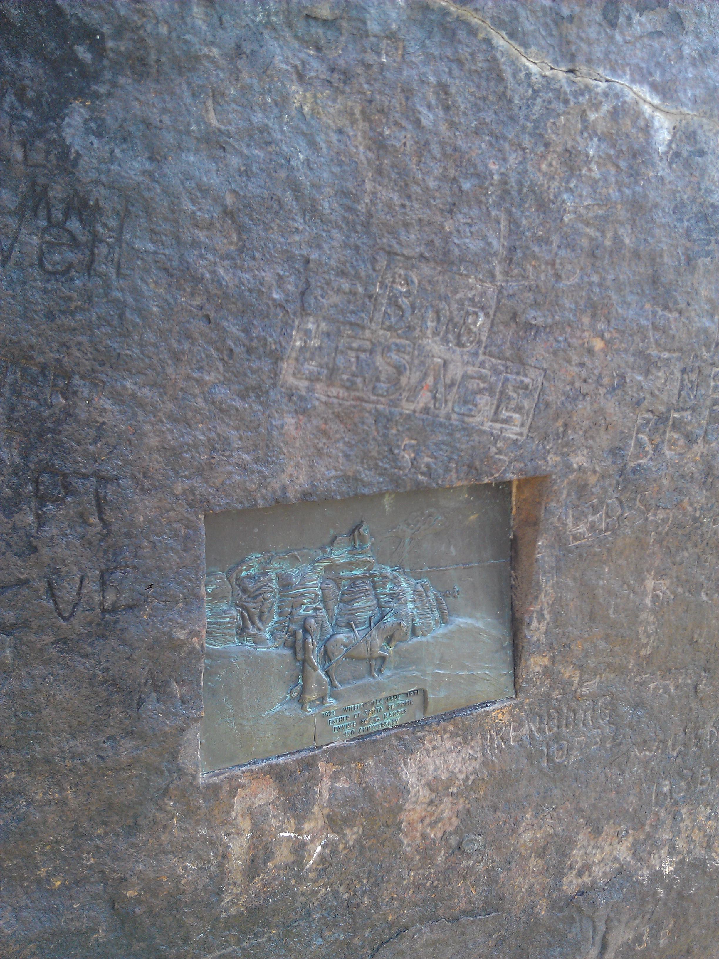
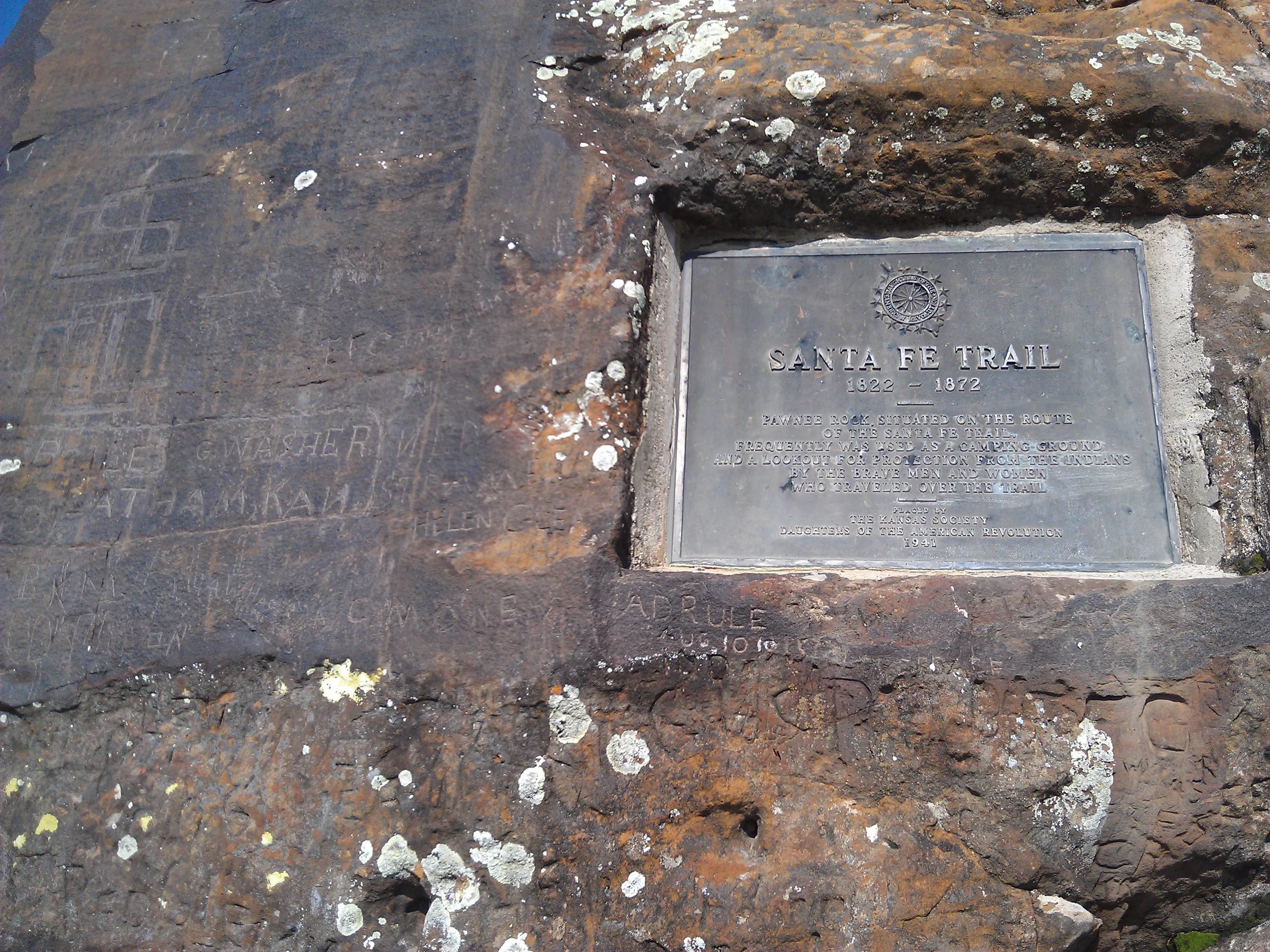
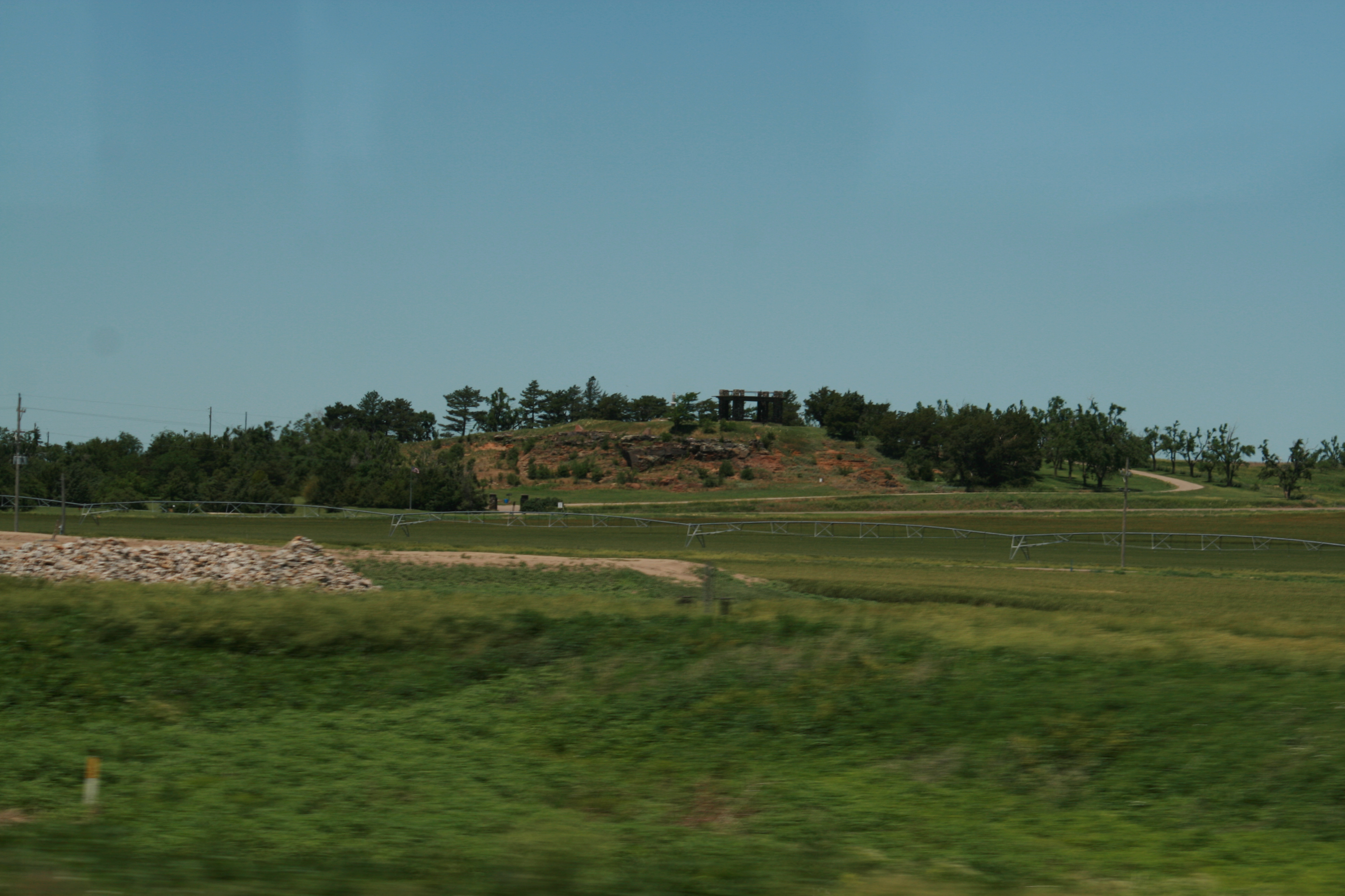
Pawnee Rock
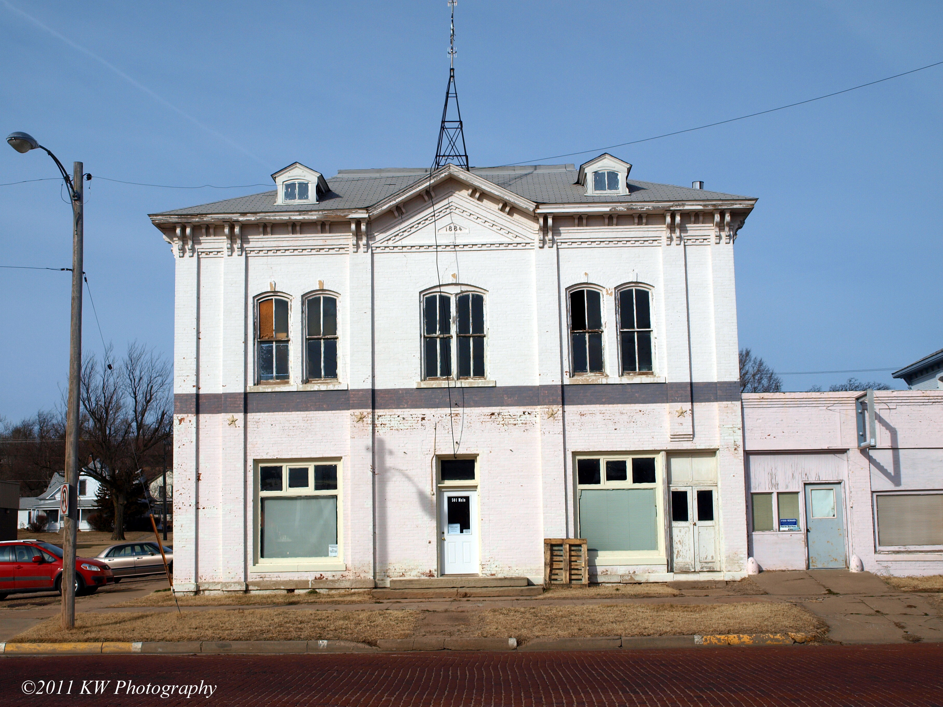
Former Pawnee County Courthouse
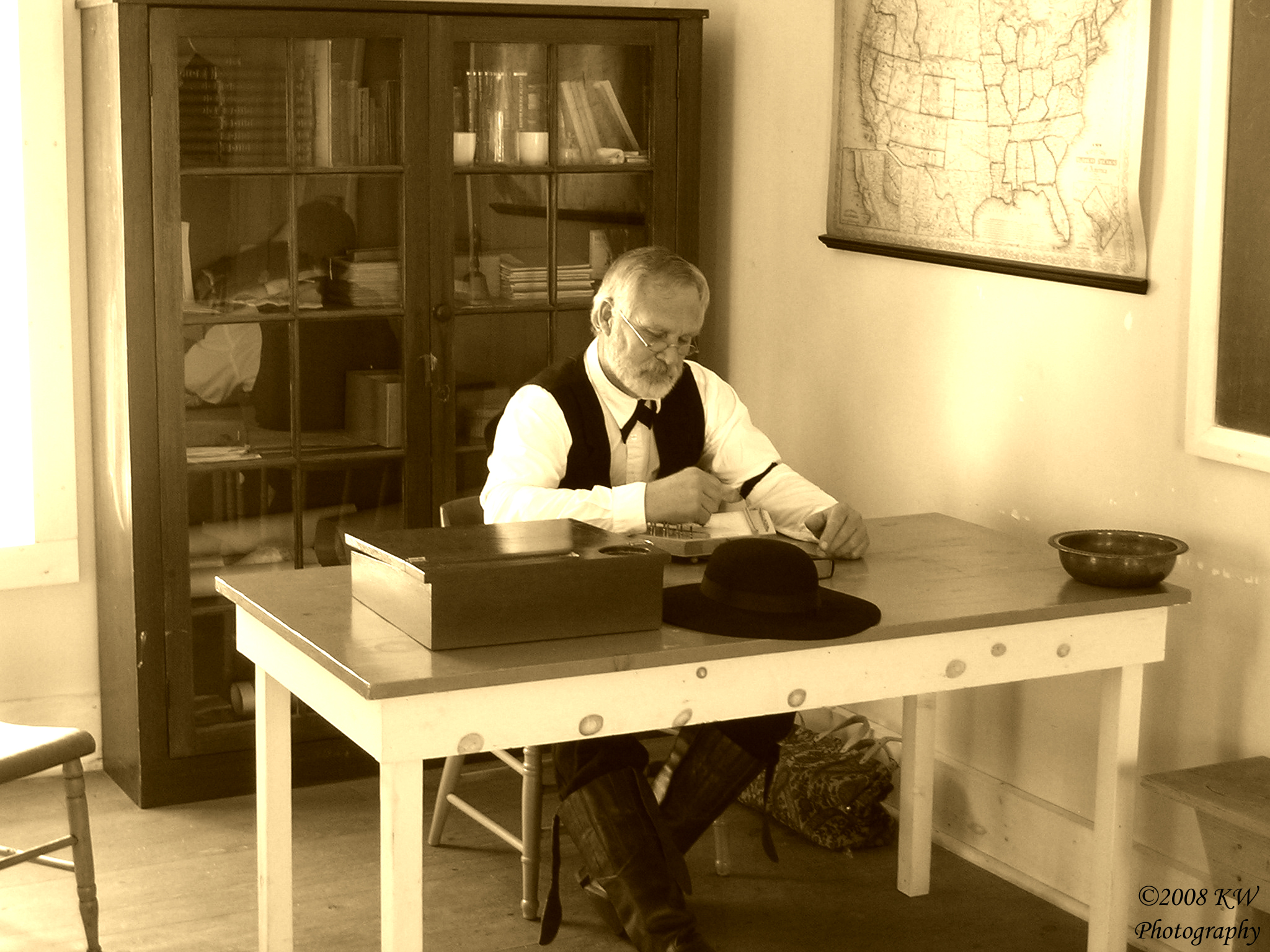
Preacher Sepia
Fort Larned
Fort Larned
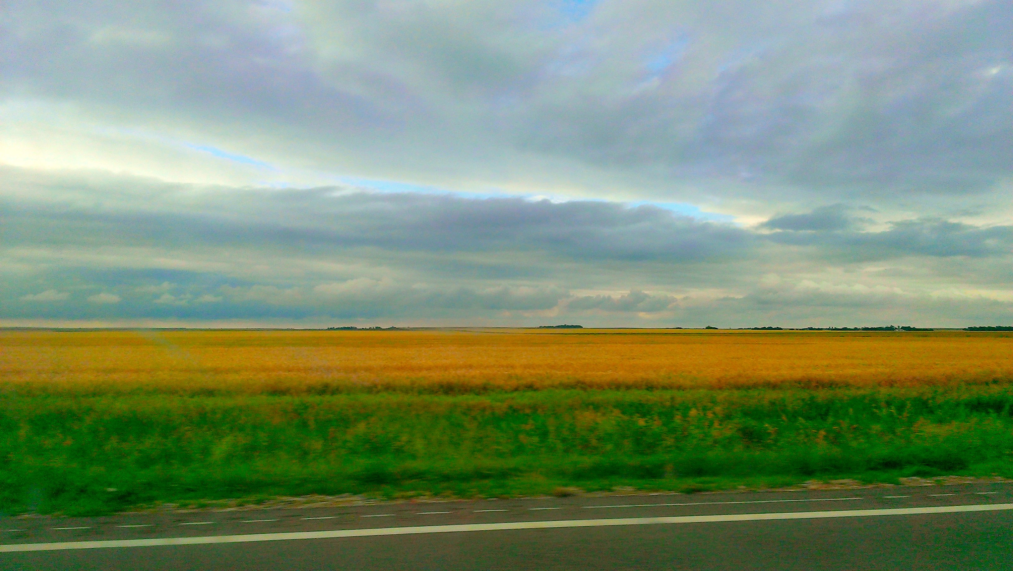
Just have to love the open view in Kansas. Never a dull screney
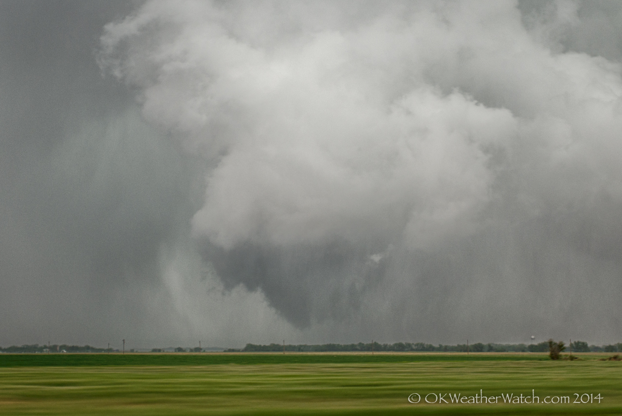
Weak Tornado
Candlelight Dump
Candlelight Dump
Silo Sunrise
Pawnee Rock
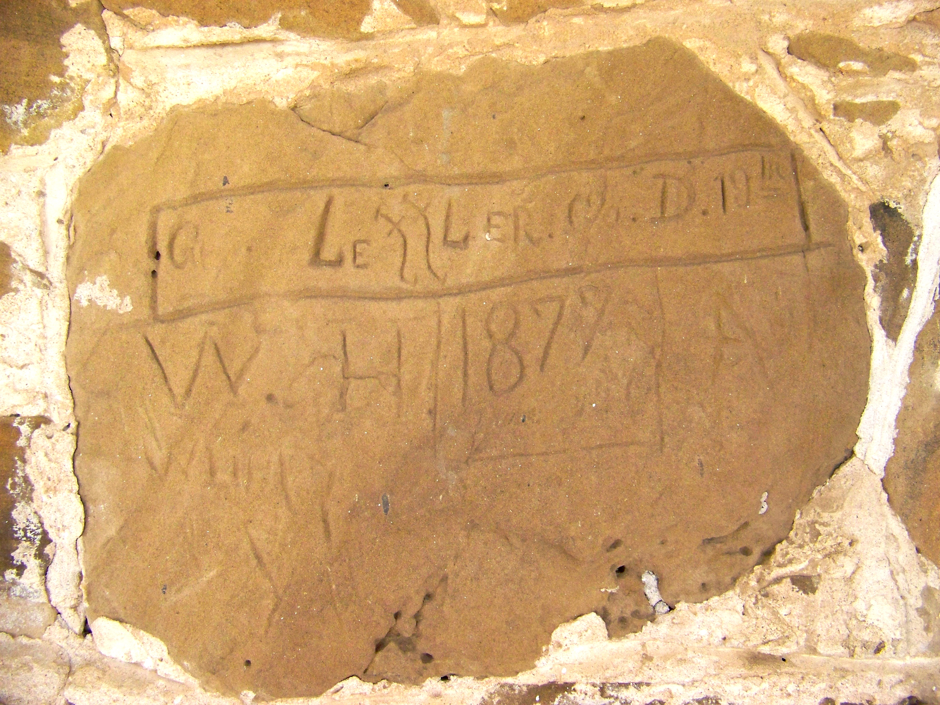
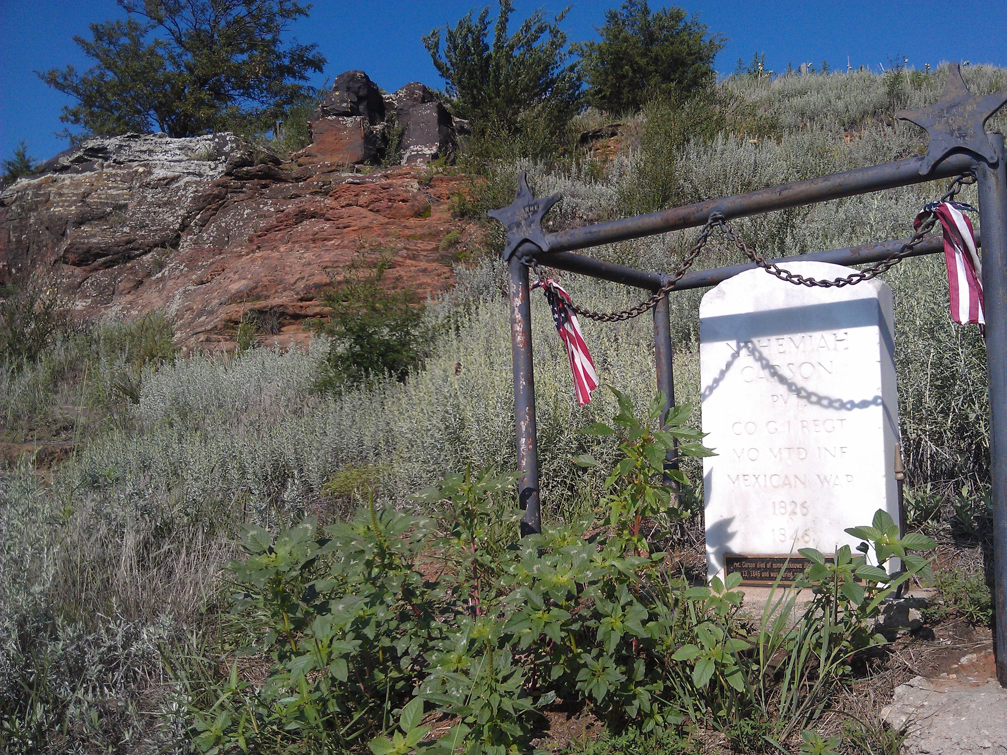
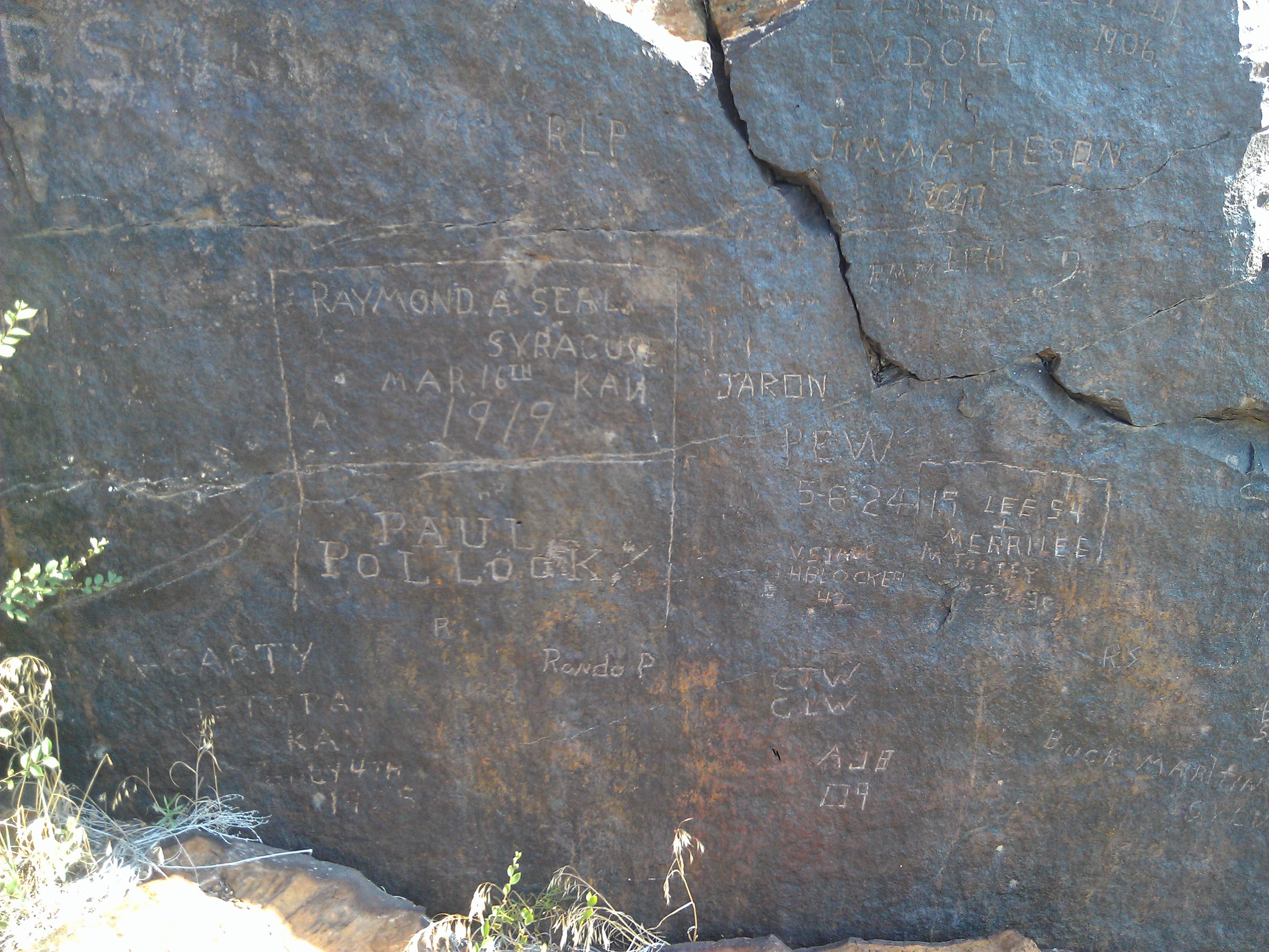
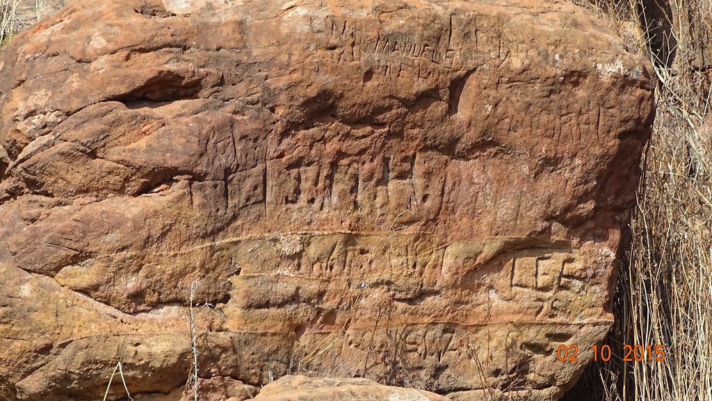
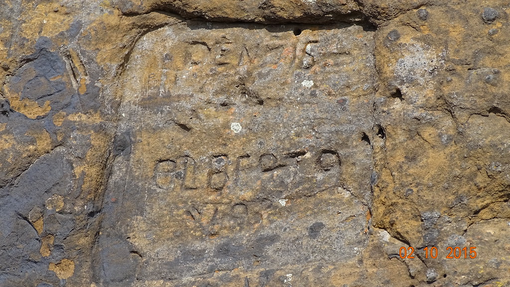
Soldiers' Names
IMG_0041 001.jpg
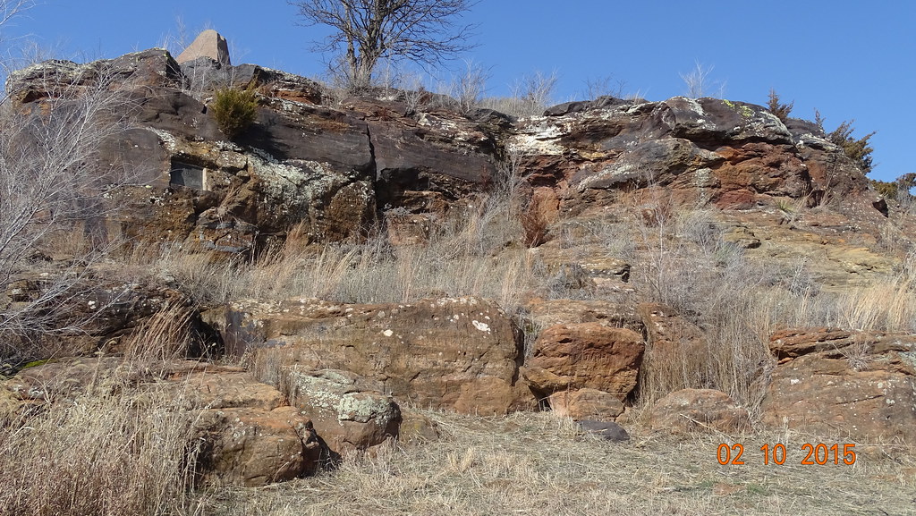
3991 -Pawnee Rock
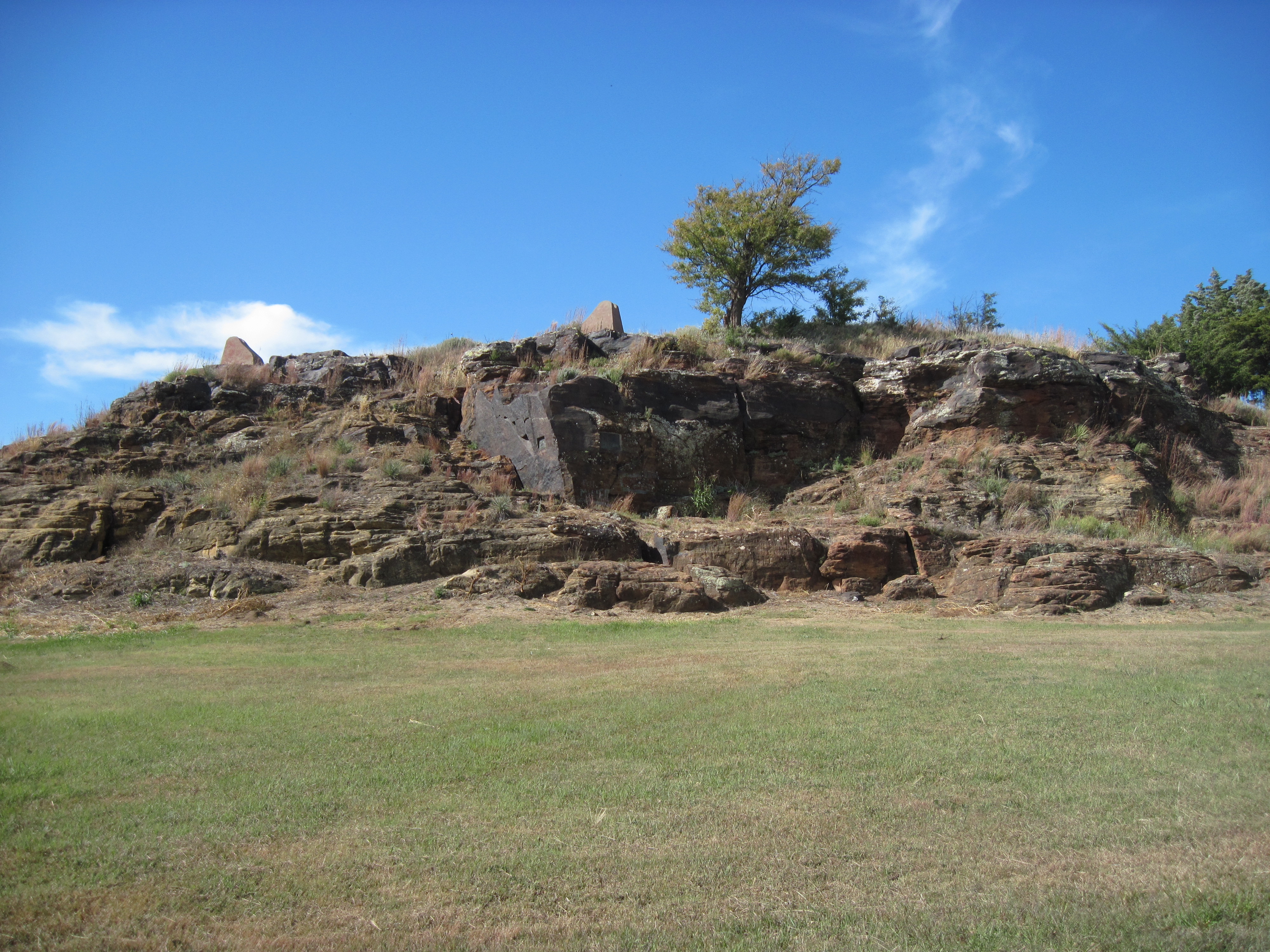
15. The actual Pawnee Rock, on the Santa Fe Trail, 10-11-16
3992 -Pawnee Rock
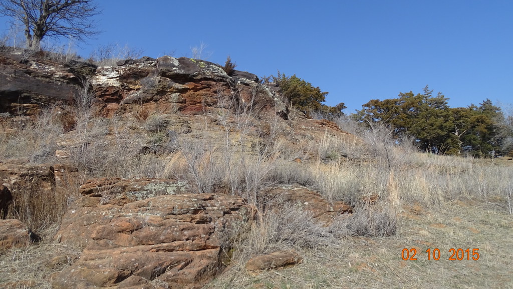
3993 -Pawnee Rock
3999 -Pawnee Rock, KS

2015_Southwest Vacation_Fort Larned NHS_2
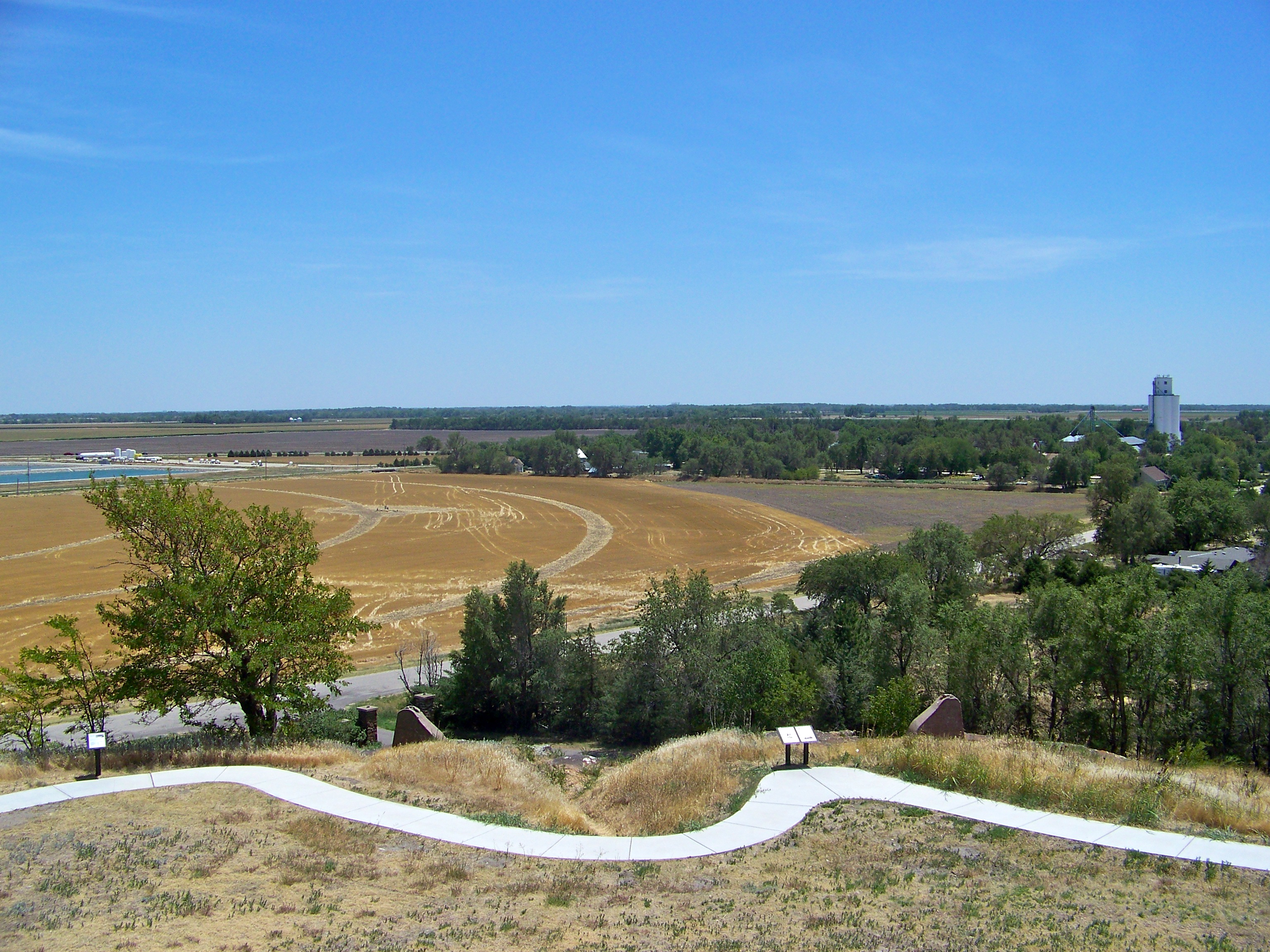
Highest Point Around
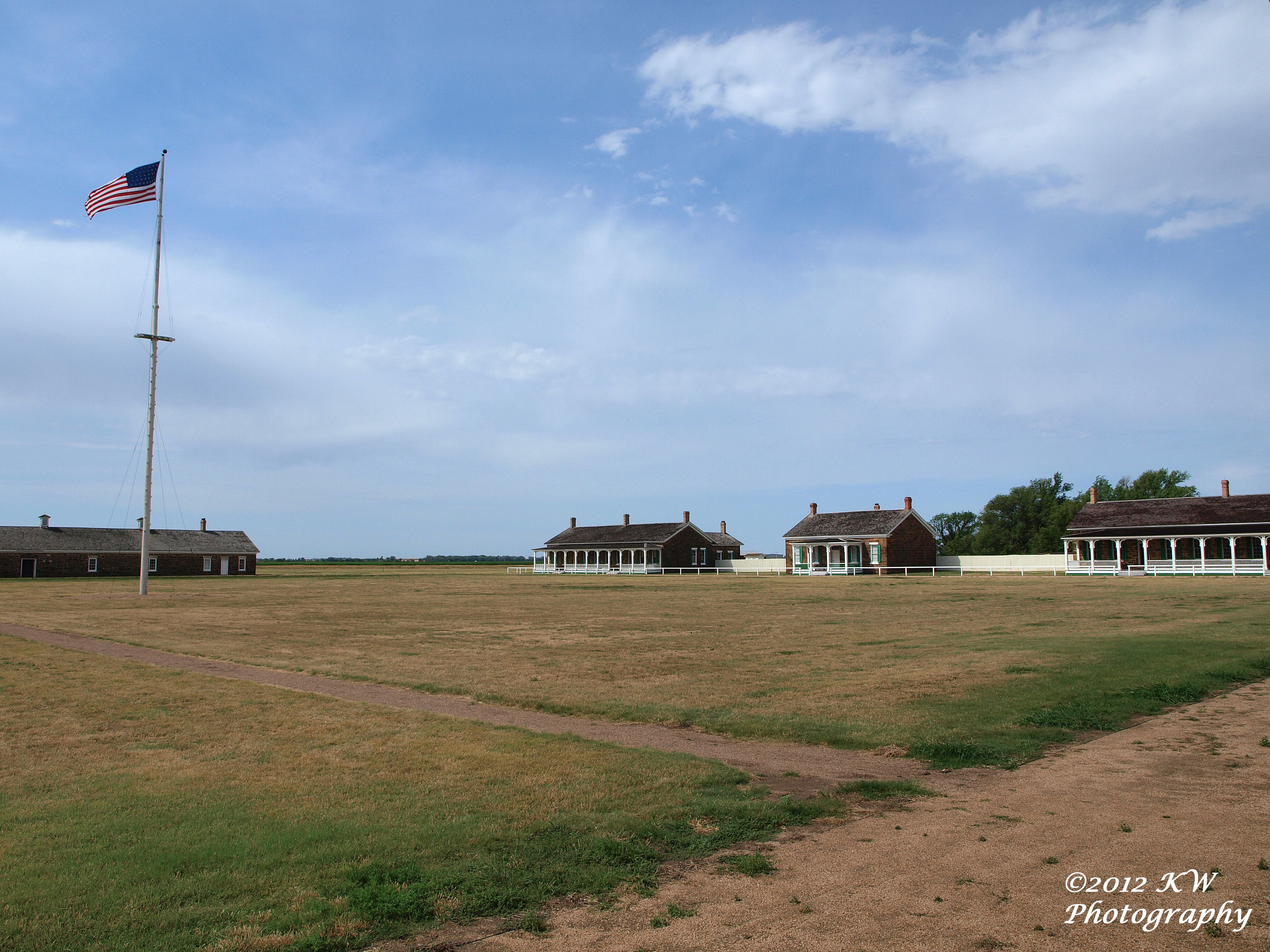
Fort Larned
Ft. Larned, Kansas
Ft. Larned, Kansas
Topographic Map of ATRA Service Center, Main St, Larned, KS, USA
Find elevation by address:

Places near ATRA Service Center, Main St, Larned, KS, USA:
Mull Farm
River
Pawnee County
US-56, Great Bend, KS, USA
Liberty
US-, Garfield, KS, USA
Pioneer
Otis
Eagle Ave, Otis, KS, USA
Stafford County
Barton County
Great Bend
Rush County
US-, Hoisington, KS, USA
South Homestead
Hoisington
1506 N Center St
1503 Random Rd
1530 Random Rd
Ellinwood
Recent Searches:
- Elevation of Vista Blvd, Sparks, NV, USA
- Elevation of 15th Ave SE, St. Petersburg, FL, USA
- Elevation of Beall Road, Beall Rd, Florida, USA
- Elevation of Leguwa, Nepal
- Elevation of County Rd, Enterprise, AL, USA
- Elevation of Kolchuginsky District, Vladimir Oblast, Russia
- Elevation of Shustino, Vladimir Oblast, Russia
- Elevation of Lampiasi St, Sarasota, FL, USA
- Elevation of Elwyn Dr, Roanoke Rapids, NC, USA
- Elevation of Congressional Dr, Stevensville, MD, USA