Elevation of Pawnee County, KS, USA
Location: United States > Kansas >
Longitude: -99.278558
Latitude: 38.2017581
Elevation: 630m / 2067feet
Barometric Pressure: 94KPa
Elevation Map:
Satellite Map:
Related Photos:

2013-05-19_2266
Rozel Tornado/Supercell

Fort Larned, Kansas

Aerial View
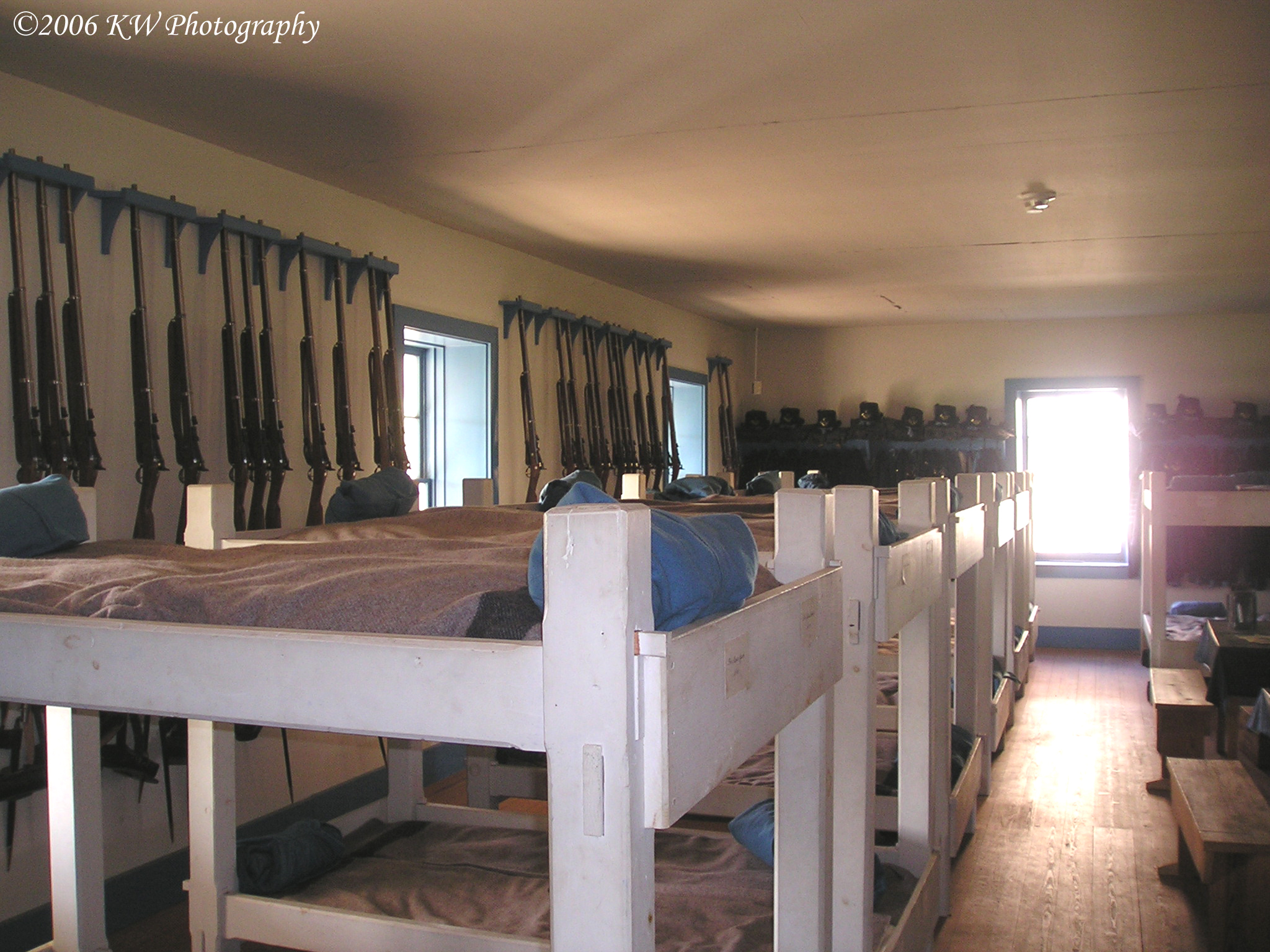
Barracks Interior
Fort Larned

Former Pawnee County Courthouse

Breakfast Table View

Historic Fort Larned Photo

Just have to love the open view in Kansas. Never a dull screney
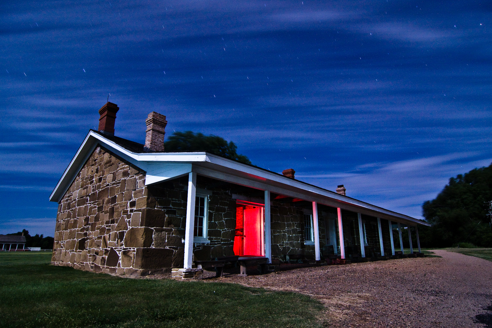
Fort Larned

Views of Fort Larned - Young foot soldier

View at Old Fort Larned

Views of Fort Larned

Old Commissary

Views of Fort Larned

Fort Larned

Fort Larned

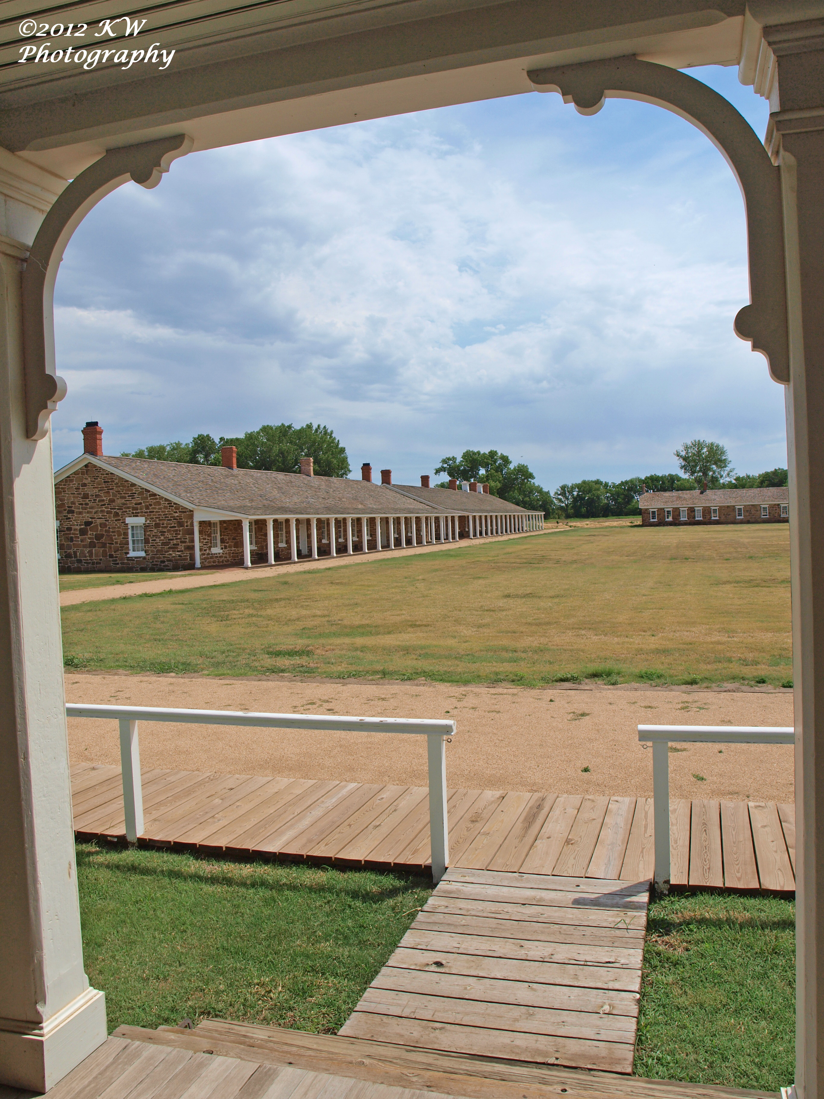
Officers Row

Fort Larned

Fort Larned

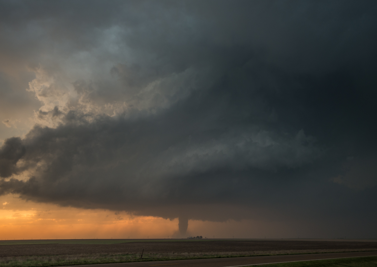
Tornado at sunset
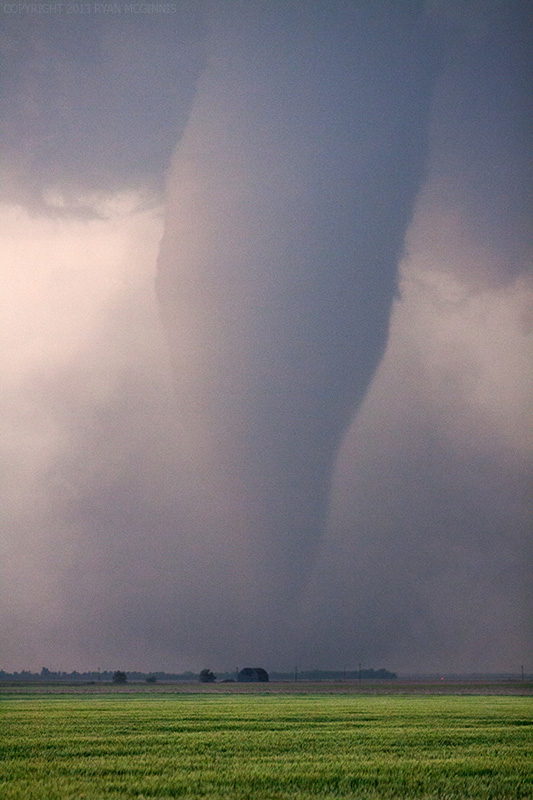
Tornado Near Rozel, KS

Rozel Tornado Panorama

Weak Tornado

Fort Larned

Buffalo Silhouette

Stormy Sunset 5-18-2013

Rozel elevators

The Lonely Barn

Fort Larned

Fort Larned

Ft. Larned, Kansas

Soldiers' Names

2015_Southwest Vacation_Fort Larned NHS_2

Ft. Larned, Kansas

Pawnee County Sunset

Pawnee County Sunset

Candlelight Dump

20150505-_E1A0630.jpg
Topographic Map of Pawnee County, KS, USA
Find elevation by address:

Places in Pawnee County, KS, USA:
Places near Pawnee County, KS, USA:
Atra Service Center
US-, Garfield, KS, USA
Mull Farm
River
Rush County
Pioneer
Otis
US-56, Great Bend, KS, USA
Eagle Ave, Otis, KS, USA
Liberty
Barton County
Great Bend
Stafford County
KS-, Jetmore, KS, USA
Wheatland
US-, Hoisington, KS, USA
South Homestead
Lookout
Antonino Rd, Hays, KS, USA
Hoisington
Recent Searches:
- Elevation of Vista Blvd, Sparks, NV, USA
- Elevation of 15th Ave SE, St. Petersburg, FL, USA
- Elevation of Beall Road, Beall Rd, Florida, USA
- Elevation of Leguwa, Nepal
- Elevation of County Rd, Enterprise, AL, USA
- Elevation of Kolchuginsky District, Vladimir Oblast, Russia
- Elevation of Shustino, Vladimir Oblast, Russia
- Elevation of Lampiasi St, Sarasota, FL, USA
- Elevation of Elwyn Dr, Roanoke Rapids, NC, USA
- Elevation of Congressional Dr, Stevensville, MD, USA