Elevation of St, Taylor, BC V0C 2K0, Canada
Location: Canada > British Columbia > Peace River > Taylor > Taylor >
Longitude: -120.68134
Latitude: 56.1512784
Elevation: 476m / 1562feet
Barometric Pressure: 96KPa
Elevation Map:
Satellite Map:
Related Photos:
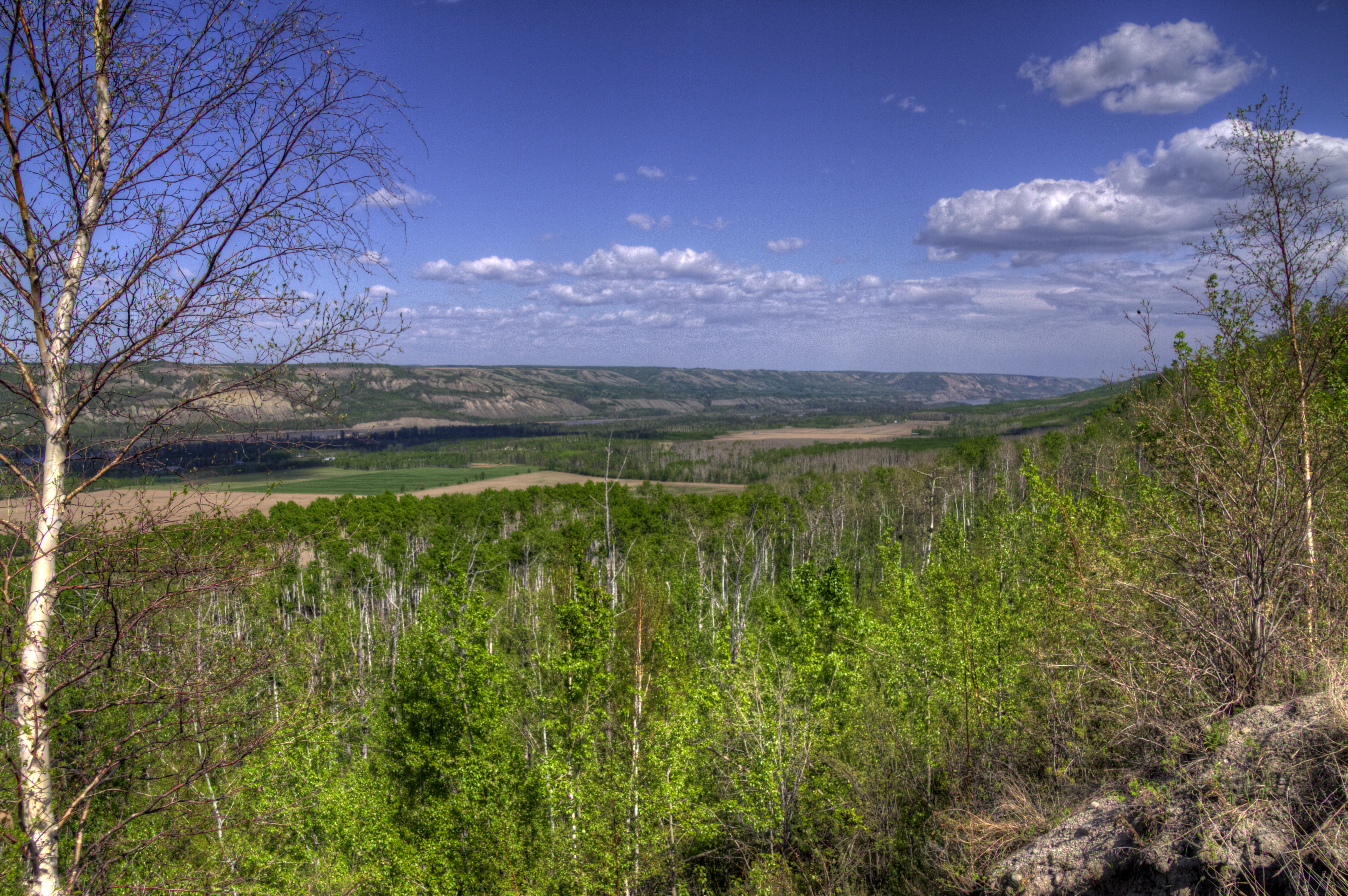
BC Peace River View
Bird's Eye View

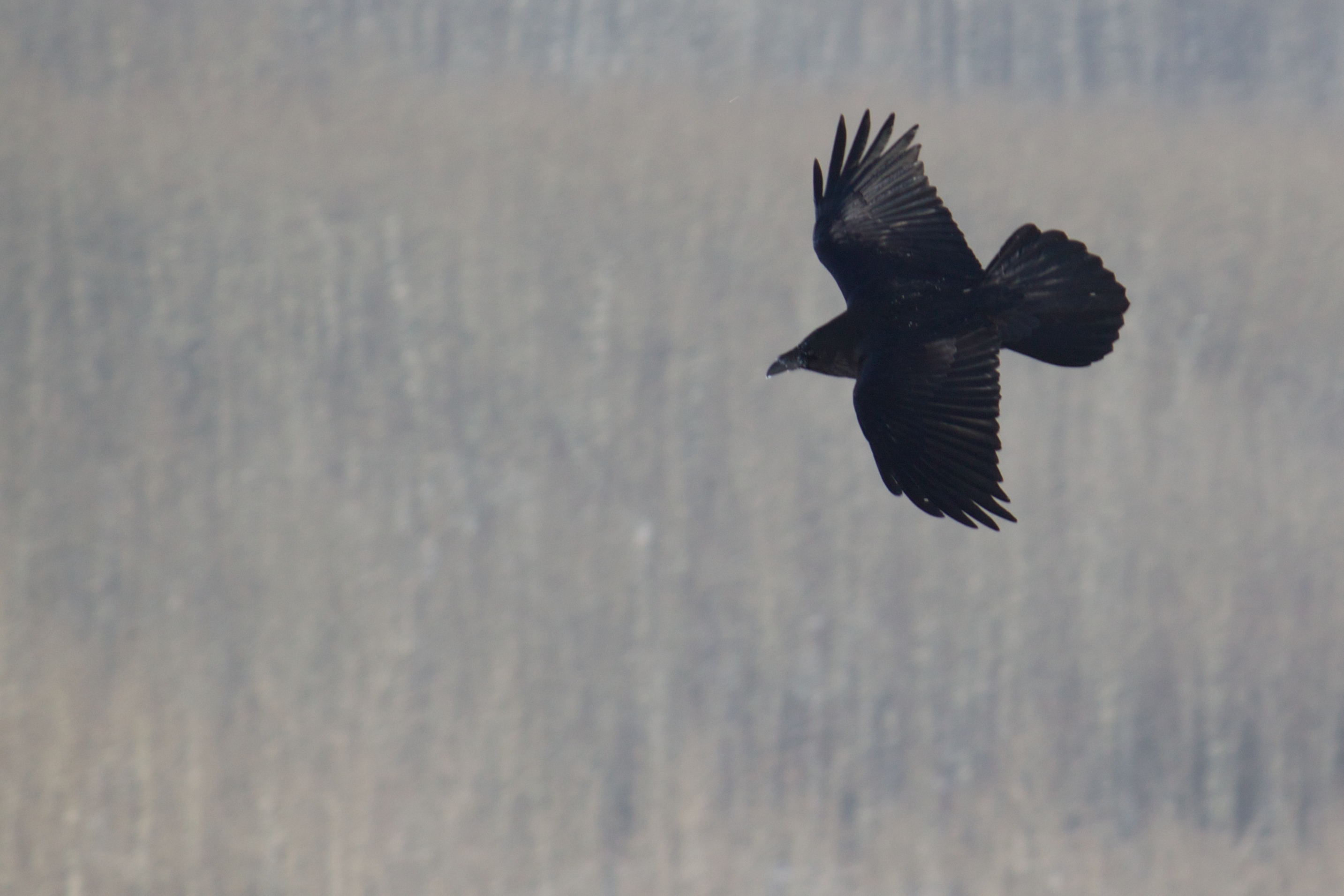
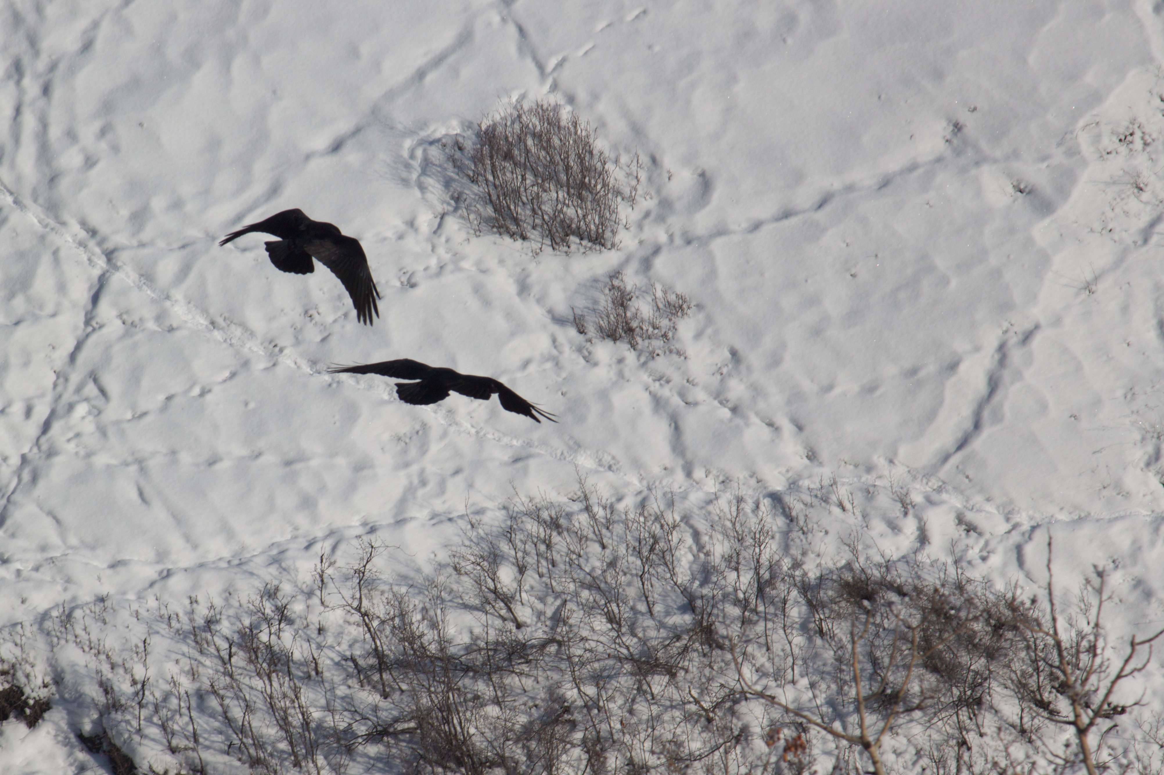
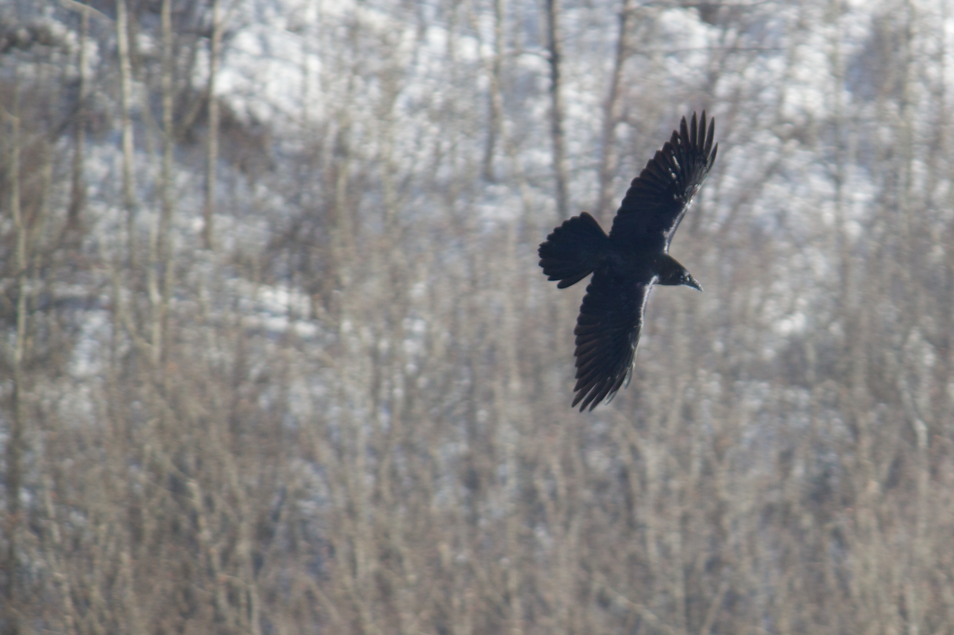
Wildlife in Northern British Columbia
Bird's Eye View

A Great Place to View the Peace
Bird's Eye View
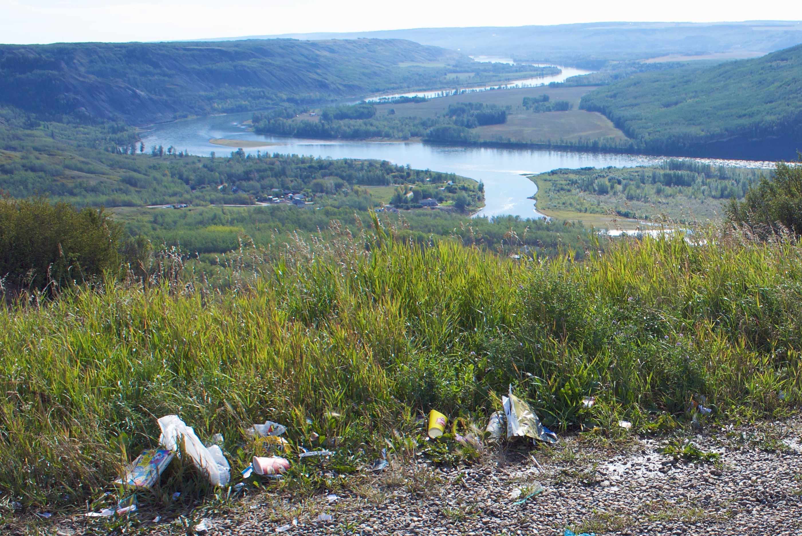
Why Do People Have to Spoil the View
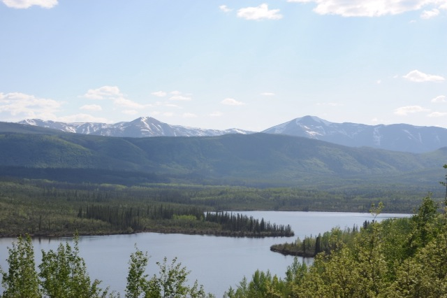
Lake view
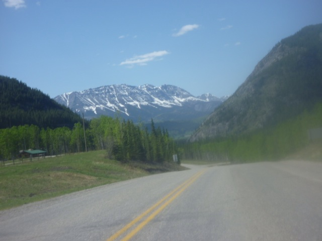
Ride, with a view
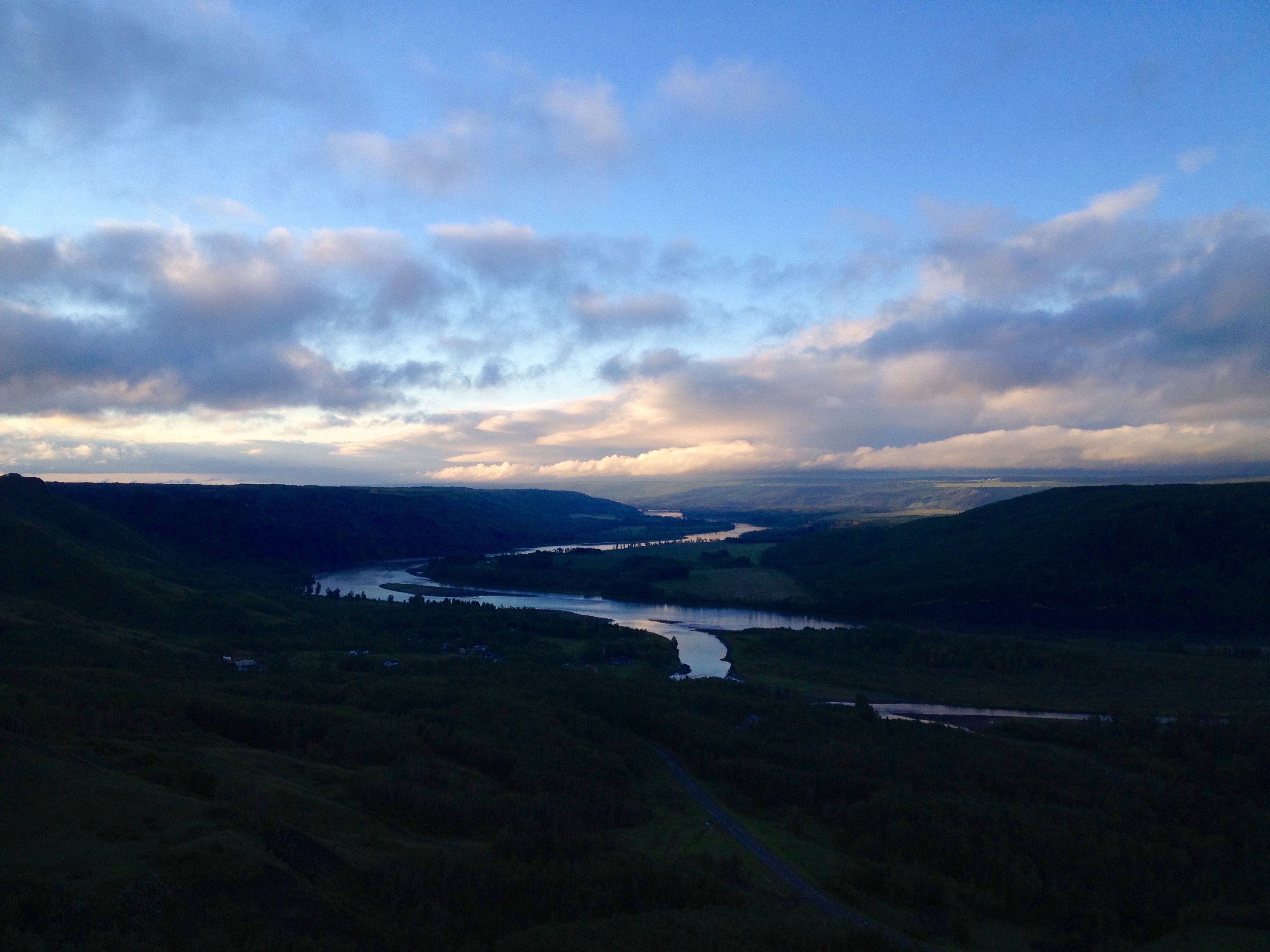
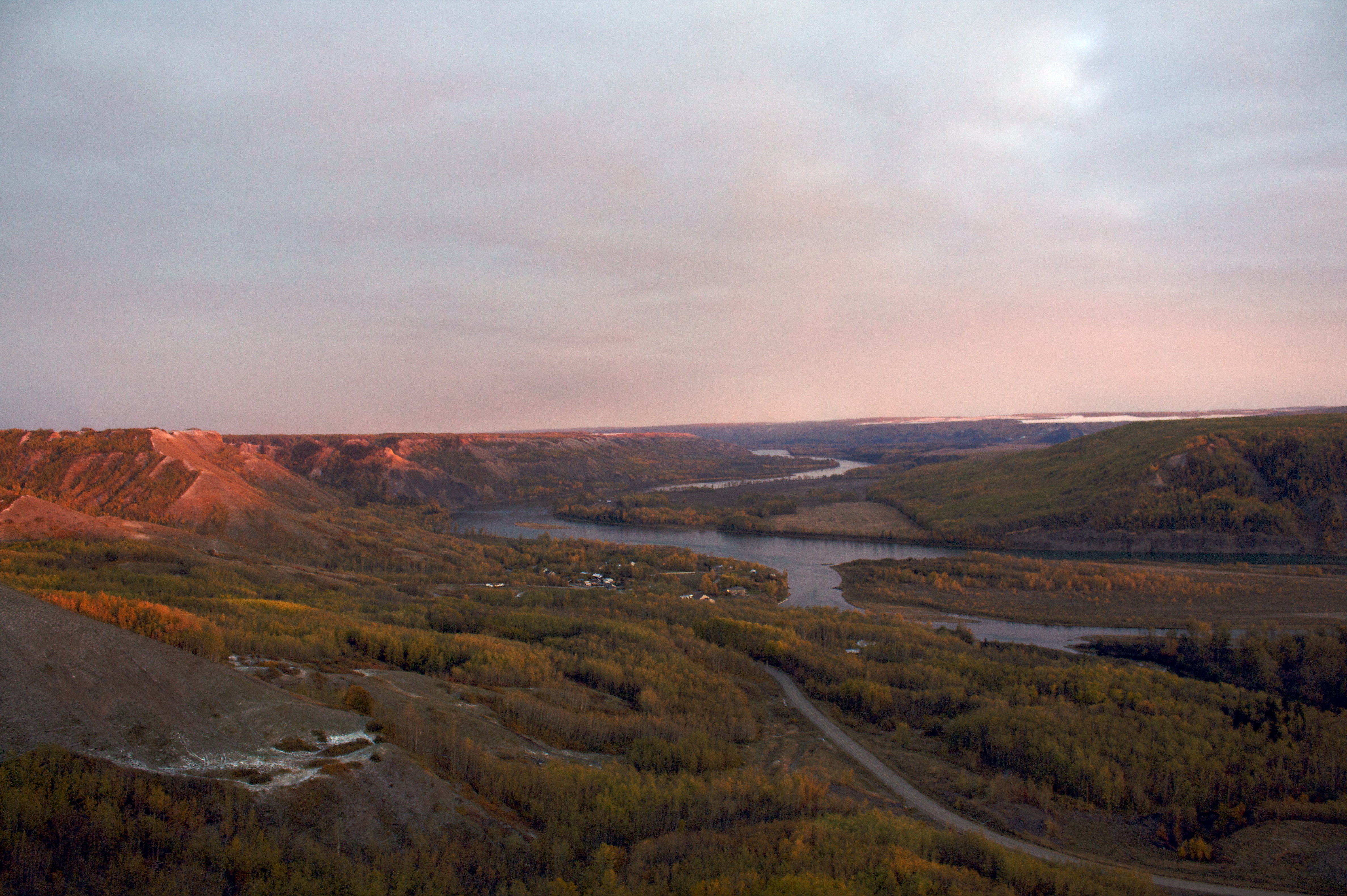
Sunrise on the Peace River
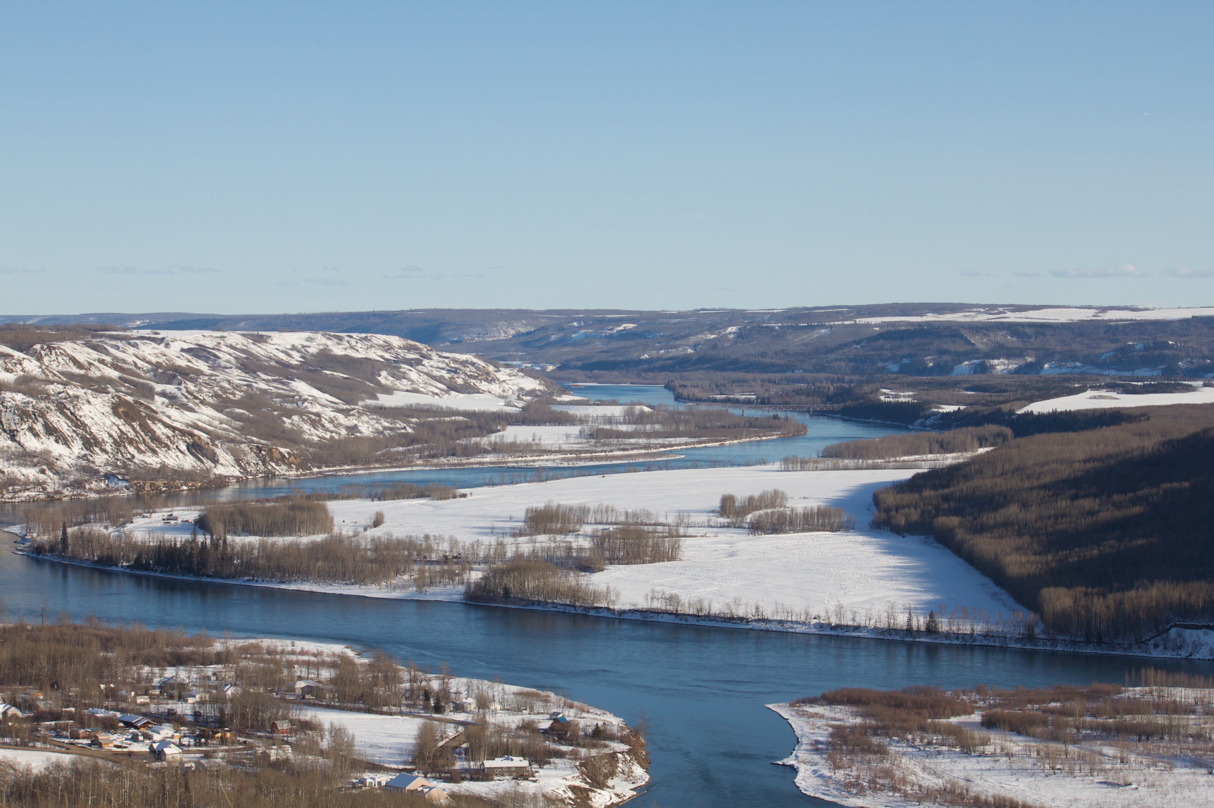
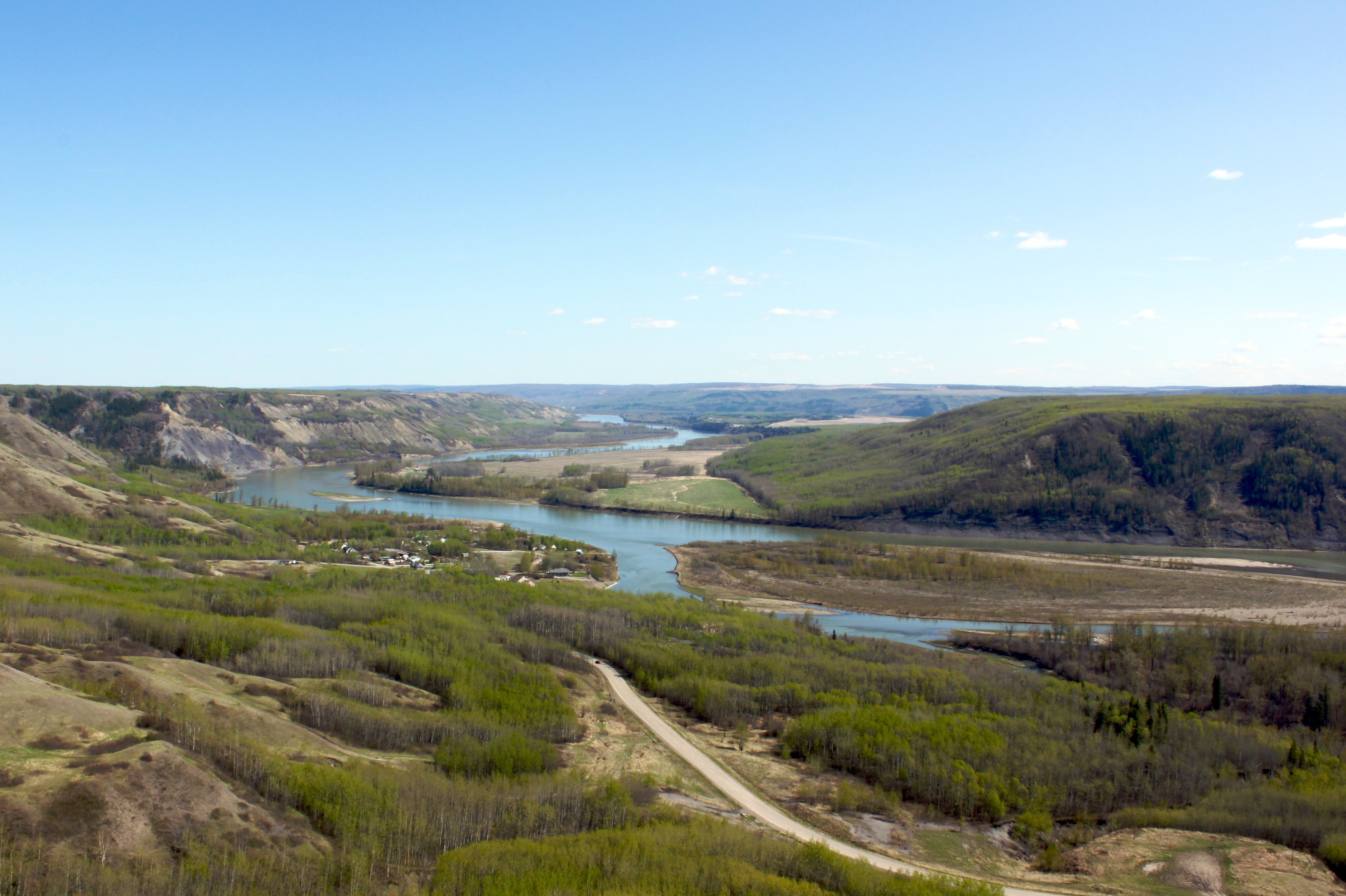
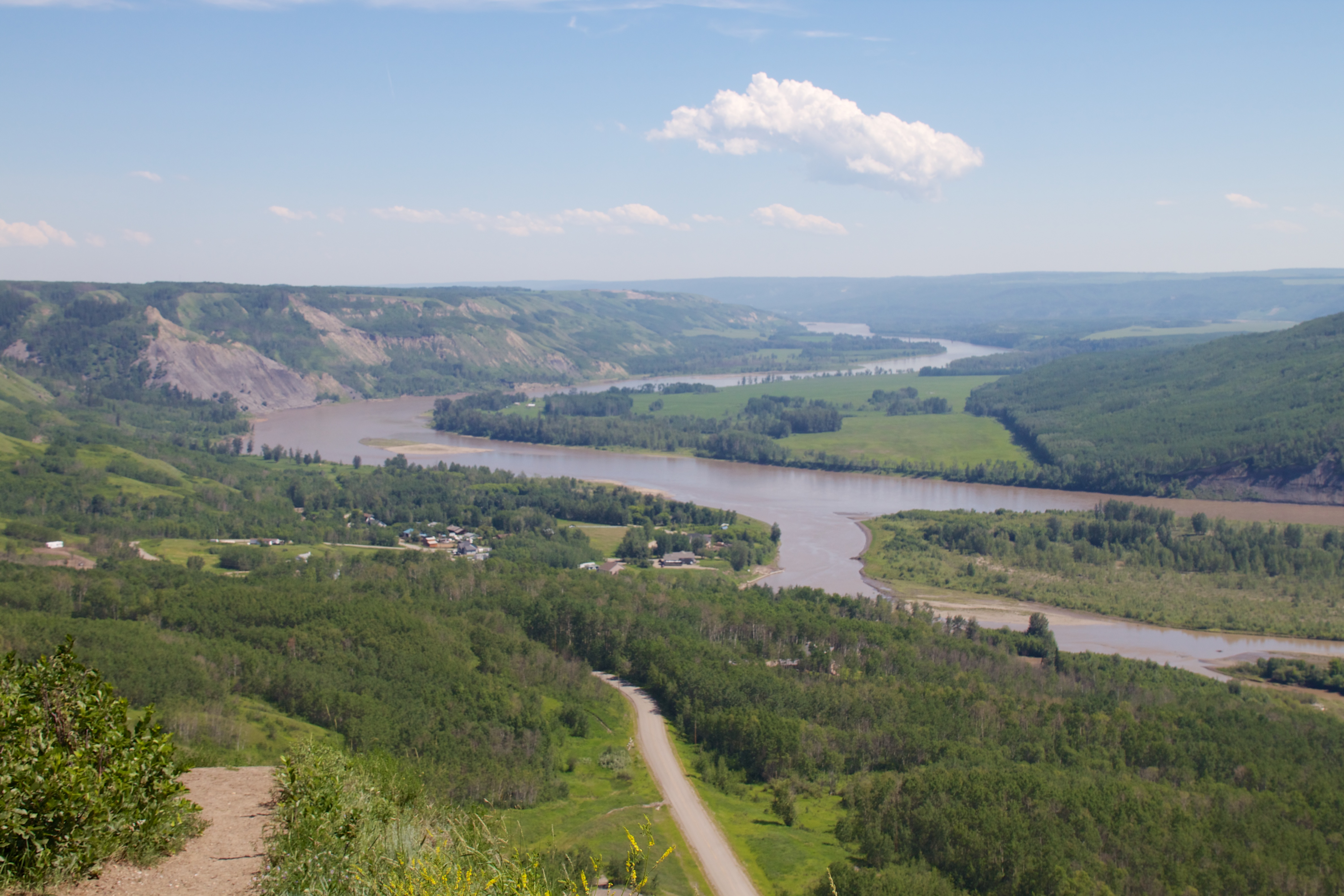
Peace River valley near Taylor, BC
Ribbons of white
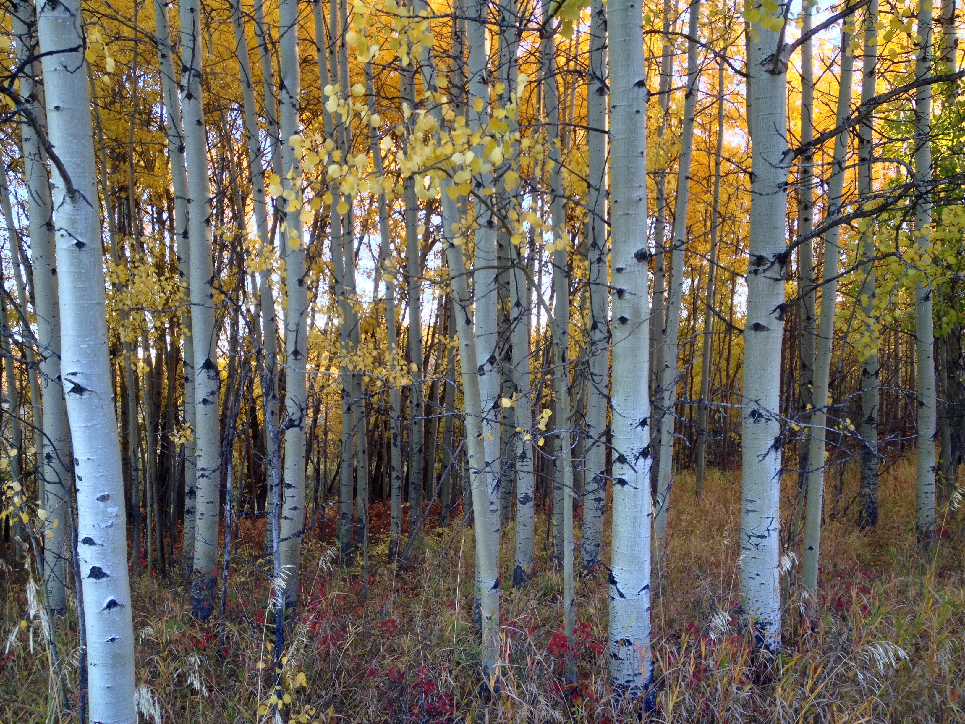
Into the Woods
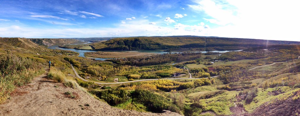
Peace River Pano

Chinook Arch at Sunset
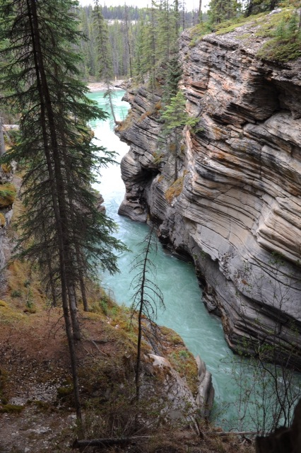
Calm canyon
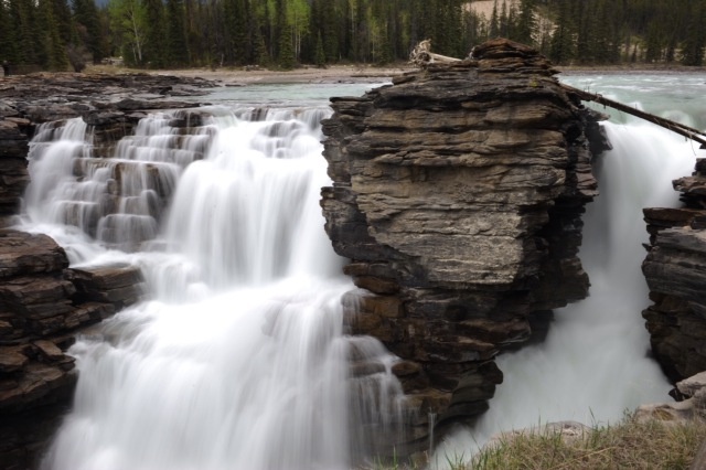
The Peace River in Spring
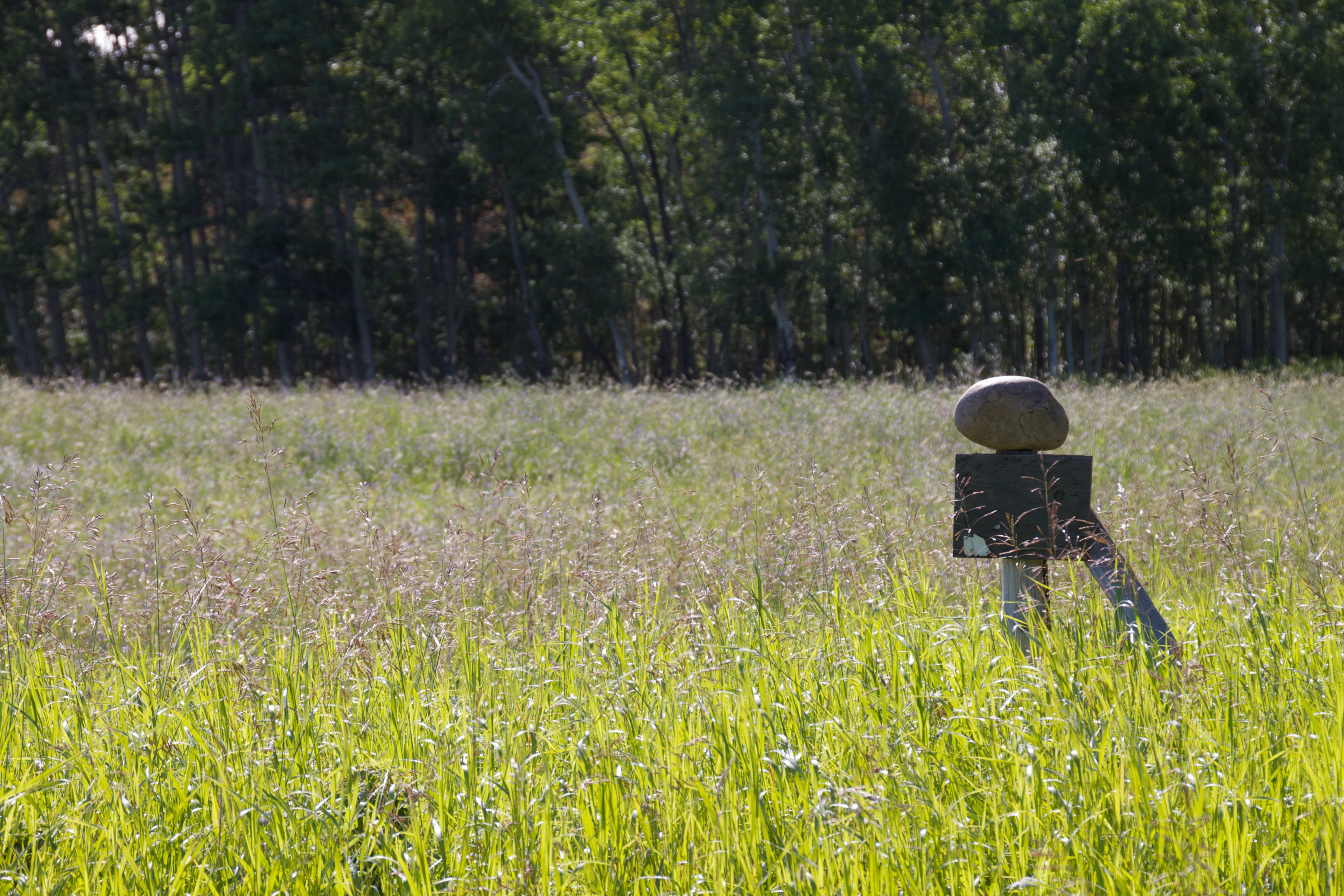
Balancing Act
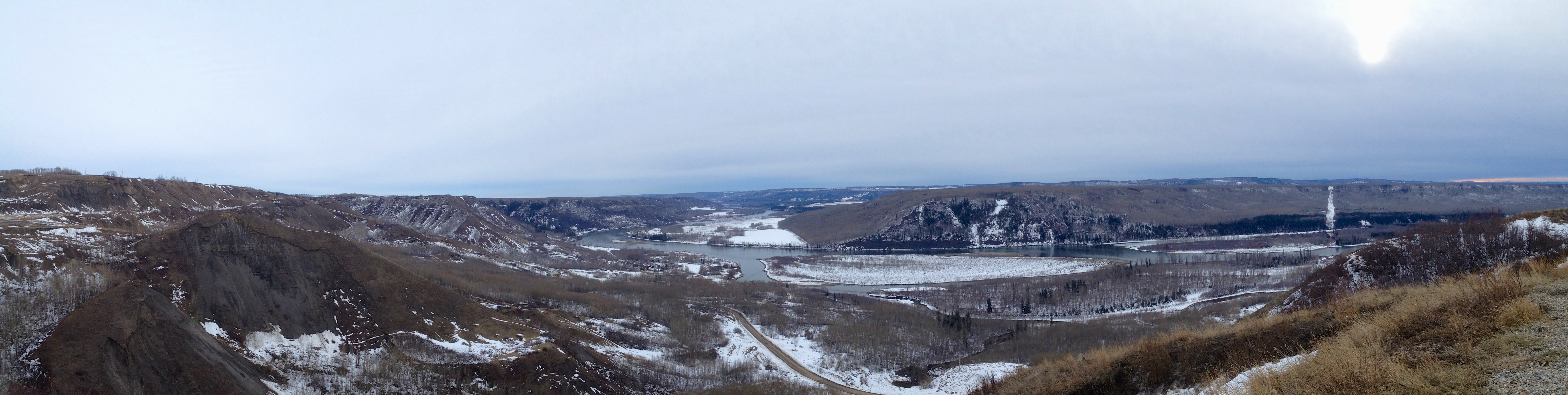
Peace River Pano
Hazy Sky Muddy Water

FSJ lookout
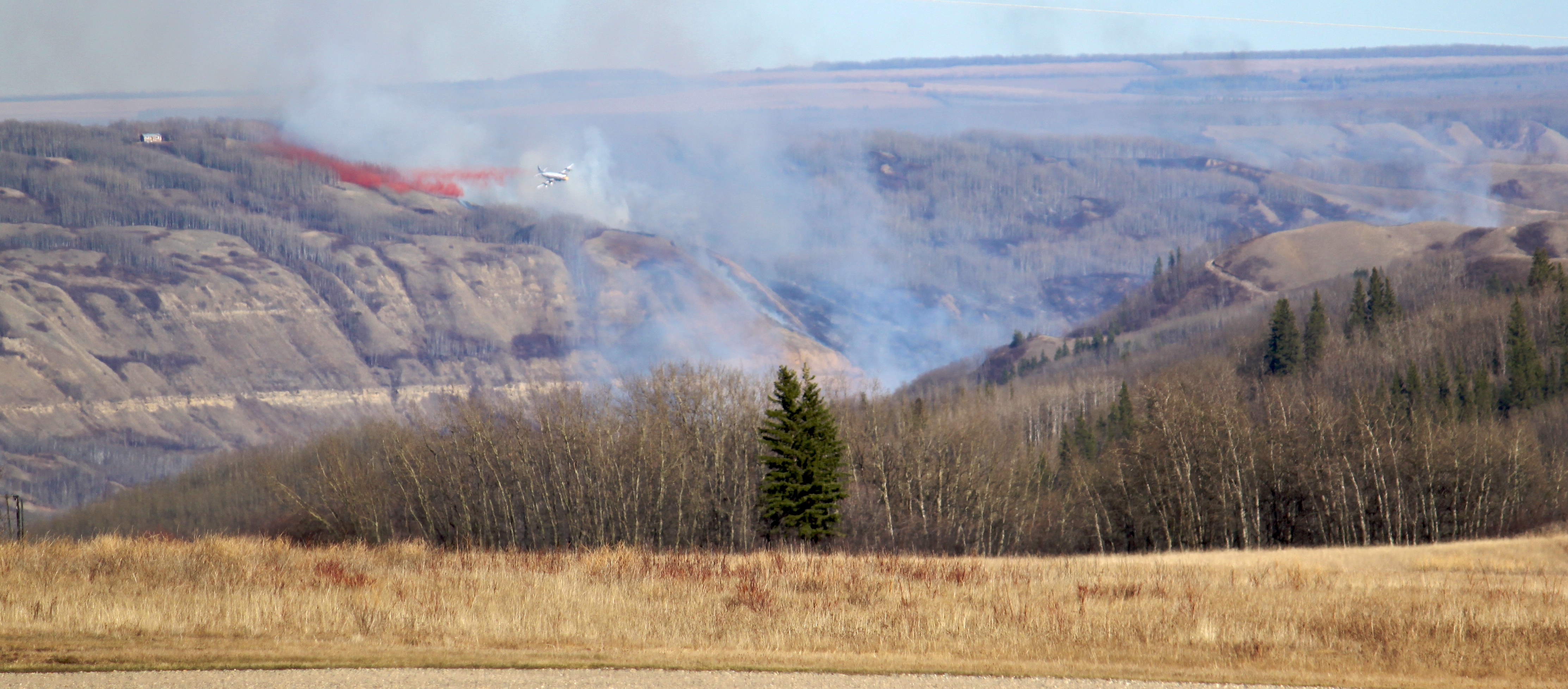
Fire Near Fort St. John, BC
Fuzzy Air
A sunset to finish the day.

Peace Valley Canola
Peace River Sunset

Finding a little Peace in Peace Country!
Topographic Map of St, Taylor, BC V0C 2K0, Canada
Find elevation by address:

Places near St, Taylor, BC V0C 2K0, Canada:
Taylor
Taylor
Baldonnel
Peace River C
Old Fort
Farmington
Arras
Groundbirch
1505 101 Ave
Dawson Creek
Alaska Highway (alcan) Mile 0 Milepost
Clayhurst
Upper Cutbank
Peace River D
Recent Searches:
- Elevation of Slanický ostrov, 01 Námestovo, Slovakia
- Elevation of Spaceport America, Co Rd A, Truth or Consequences, NM, USA
- Elevation of Warwick, RI, USA
- Elevation of Fern Rd, Whitmore, CA, USA
- Elevation of 62 Abbey St, Marshfield, MA, USA
- Elevation of Fernwood, Bradenton, FL, USA
- Elevation of Felindre, Swansea SA5 7LU, UK
- Elevation of Leyte Industrial Development Estate, Isabel, Leyte, Philippines
- Elevation of W Granada St, Tampa, FL, USA
- Elevation of Pykes Down, Ivybridge PL21 0BY, UK