Elevation of Baldonnel, BC V0C 1C0, Canada
Location: Canada > British Columbia > Peace River > Peace River C >
Longitude: -120.68928
Latitude: 56.217228
Elevation: 678m / 2224feet
Barometric Pressure: 93KPa
Elevation Map:
Satellite Map:
Related Photos:

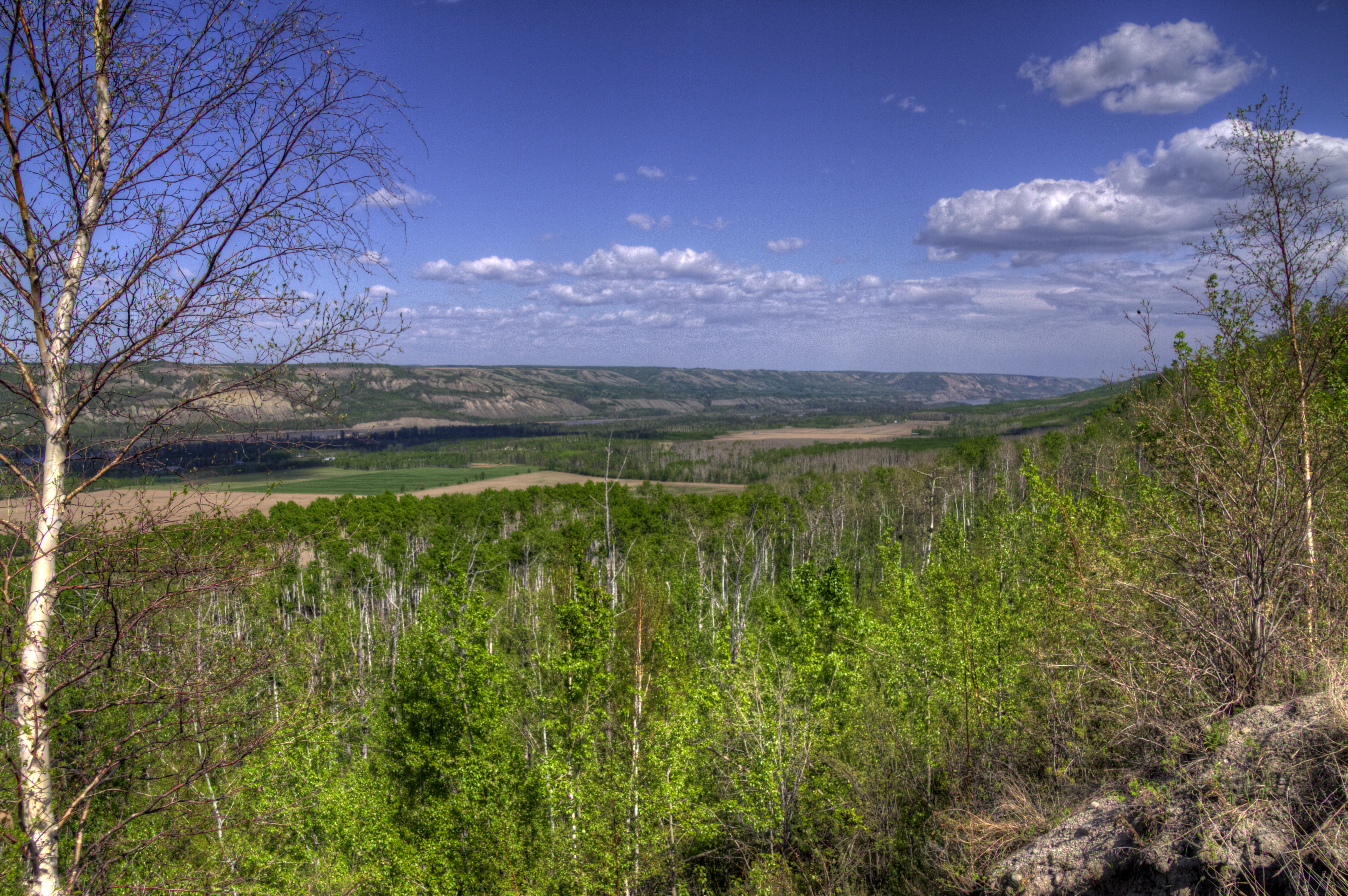
A Great Place to View the Peace
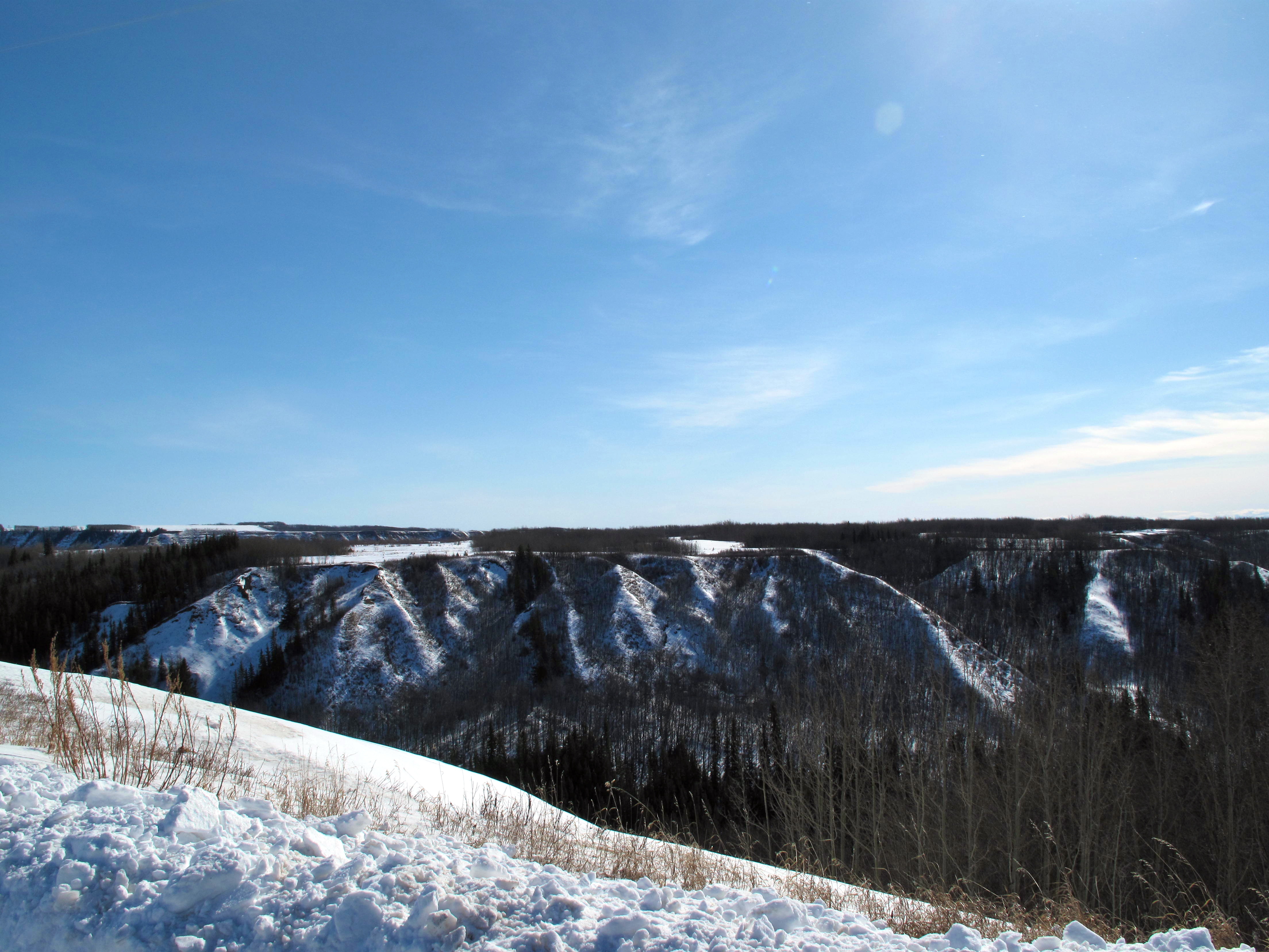
Coulee View
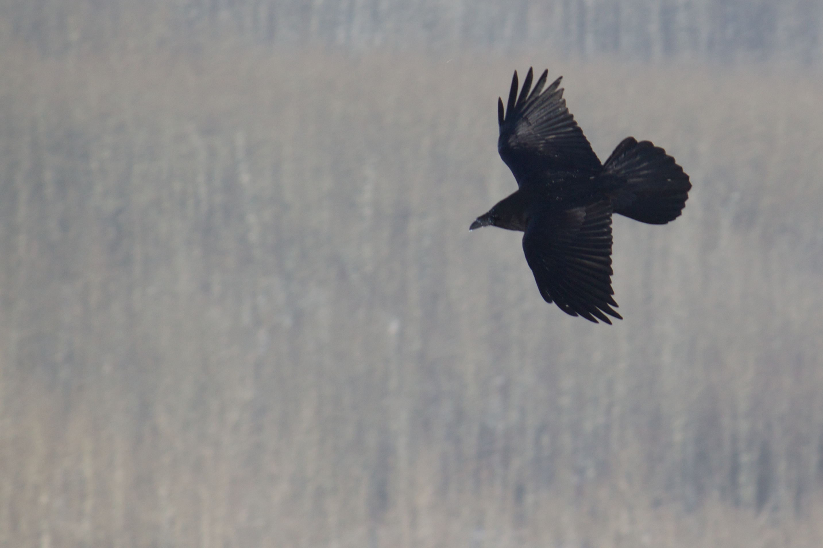
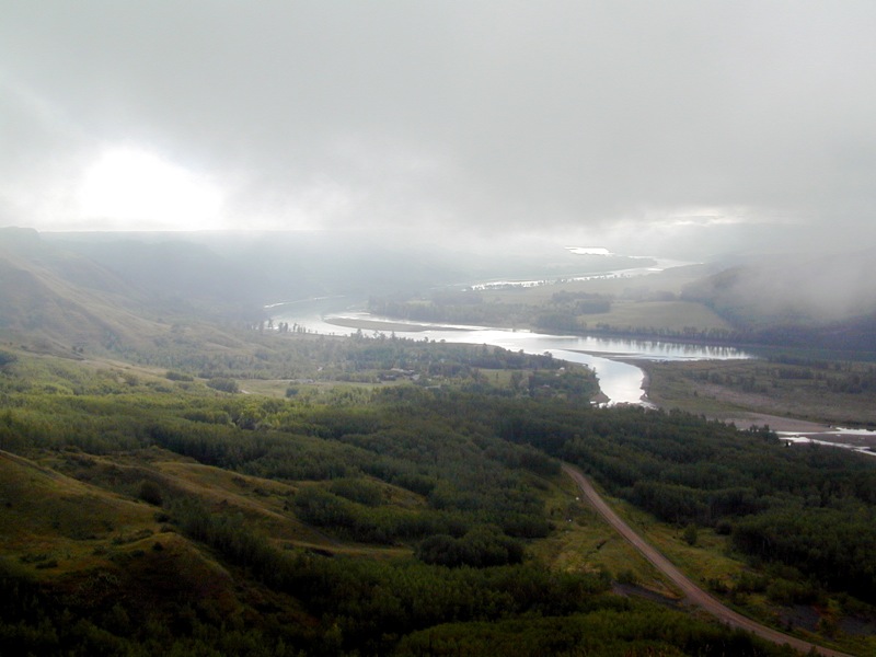
Bird's Eye View
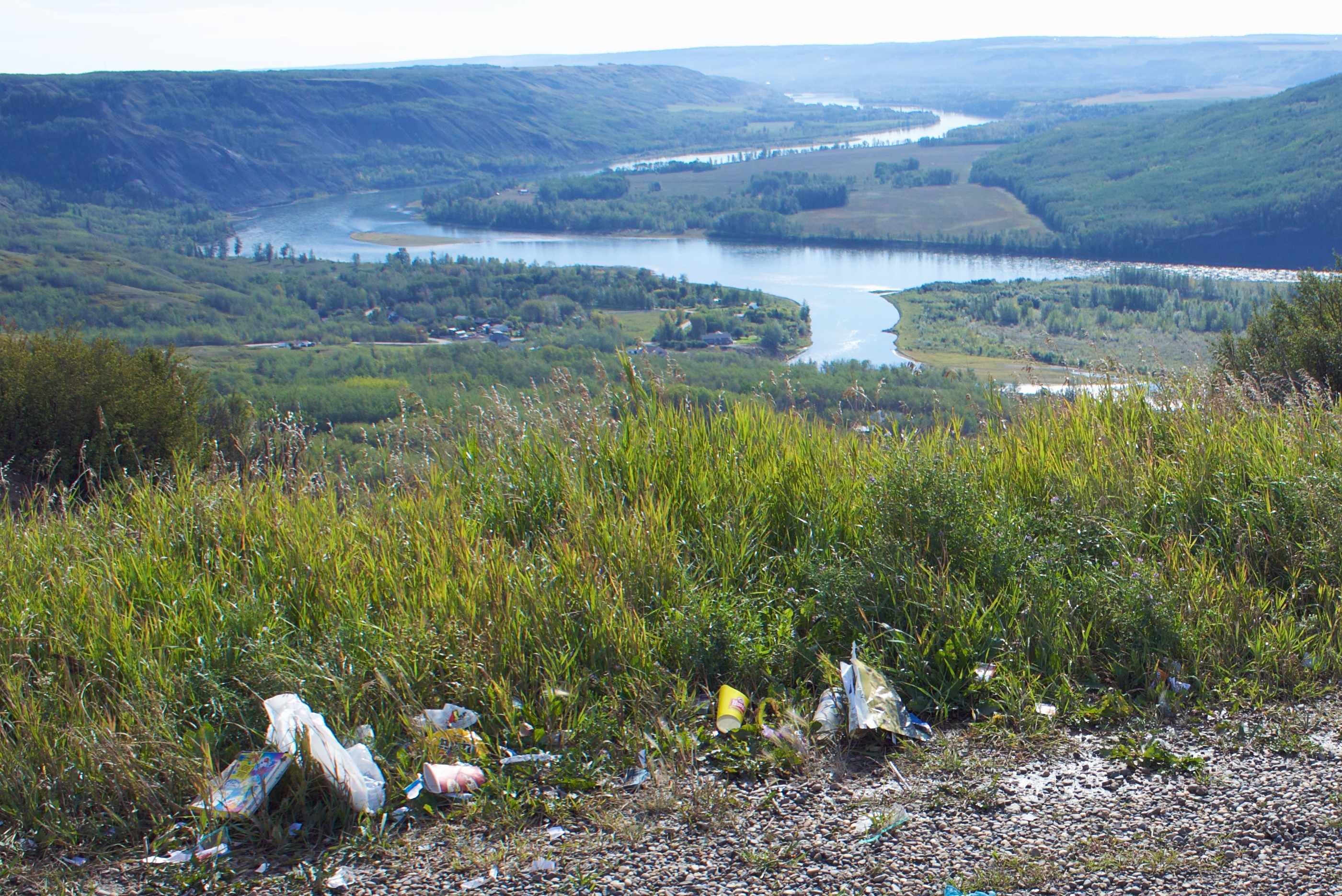
Why Do People Have to Spoil the View
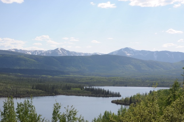
Lake view

Wildlife in Northern British Columbia
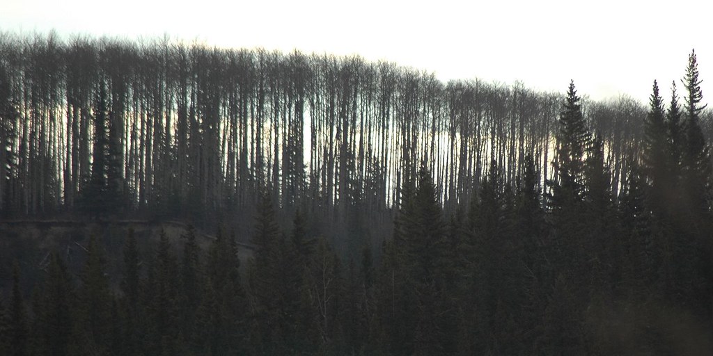
River runs through
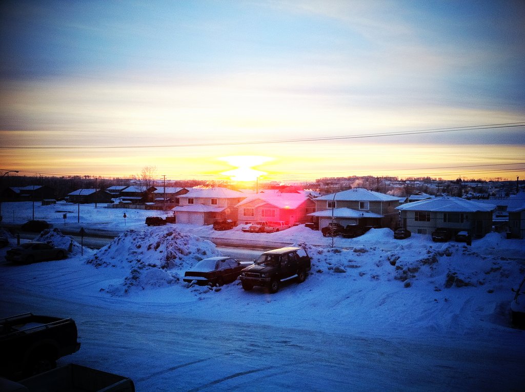
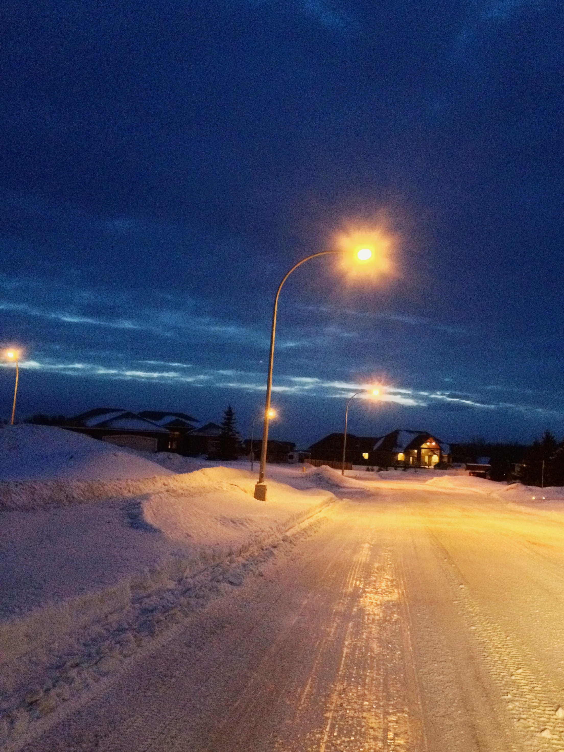
Fort St. John, 17-Jan-09
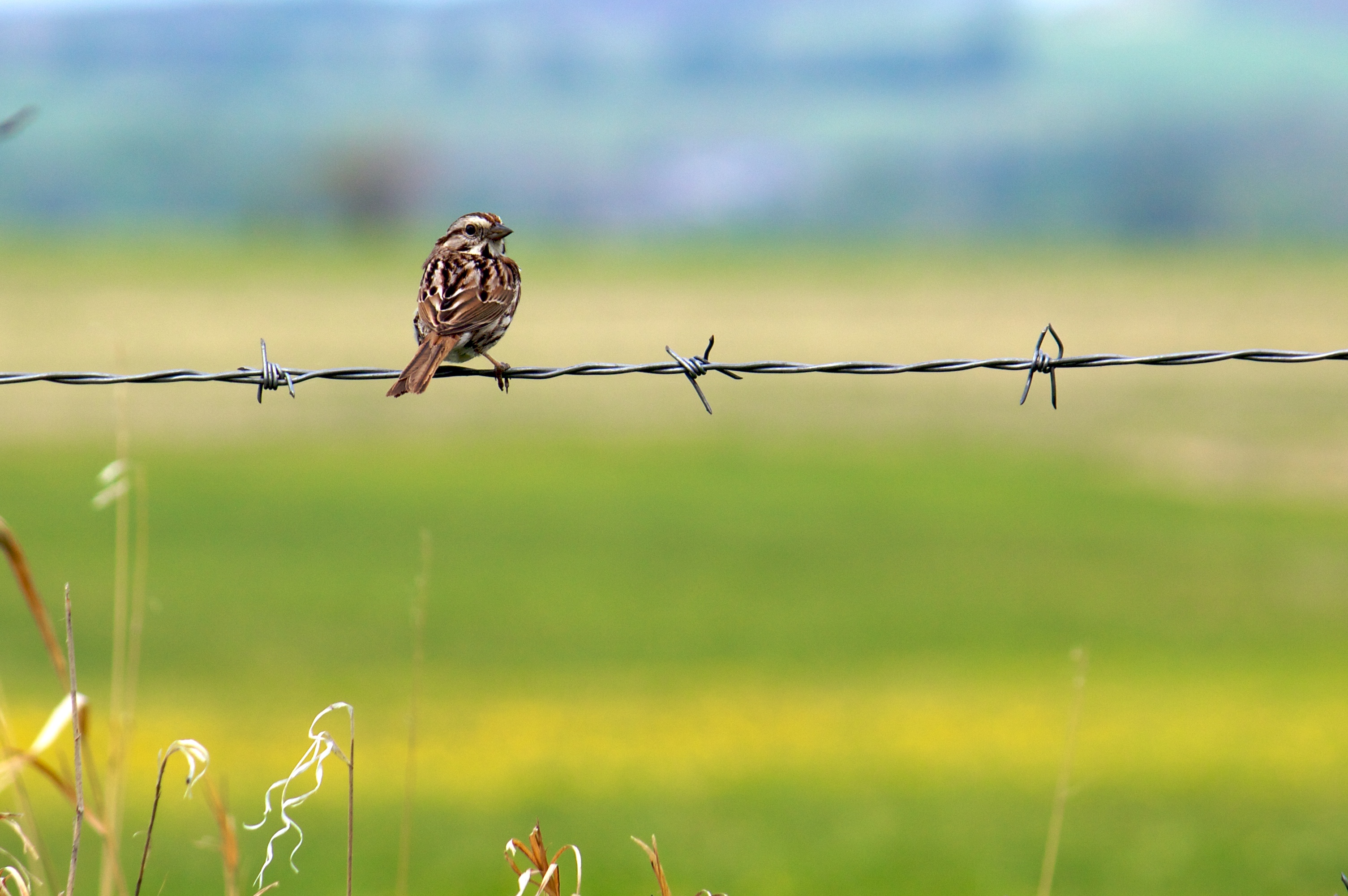
Song Sparrow (I think)
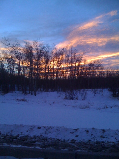
A sunset to finish the day.
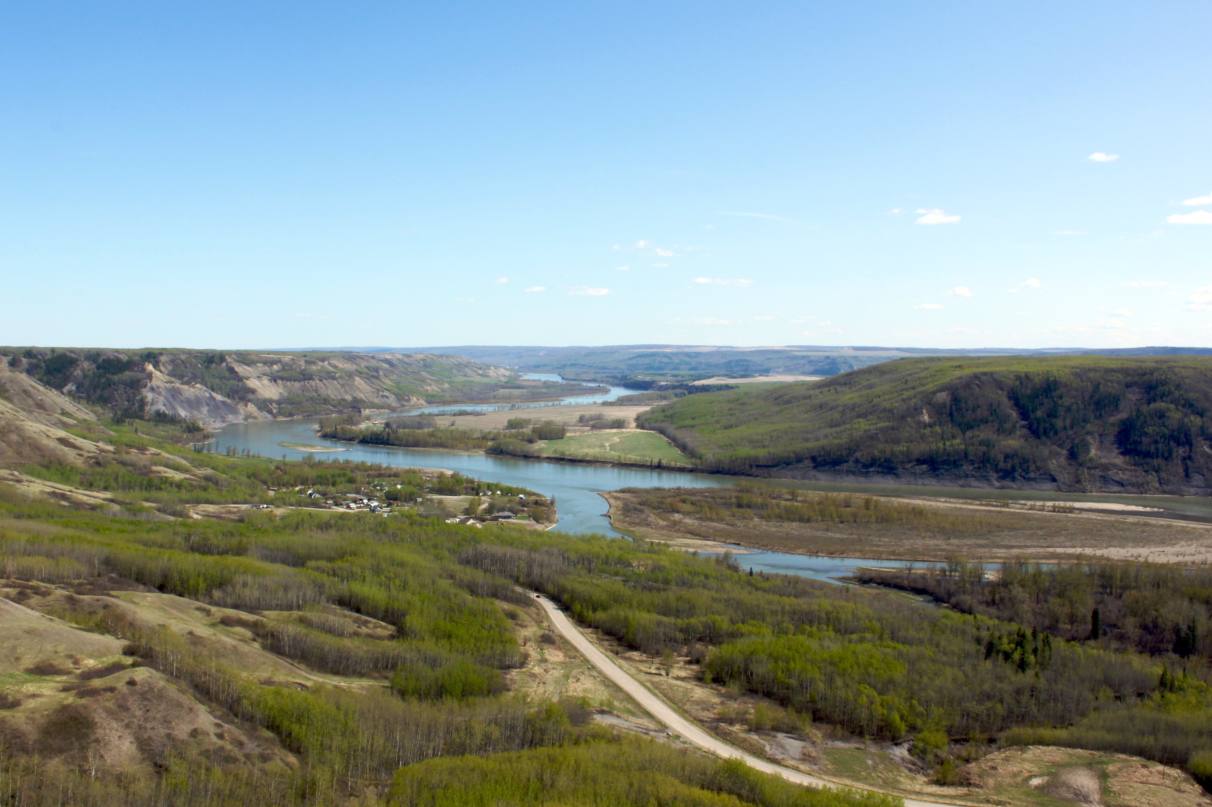
Peace River valley near Taylor, BC
Peace Lookout
Northern Rocky Mountains & The Peace River

Chinook Arch at Sunset

Fort St. John Walking Trails!
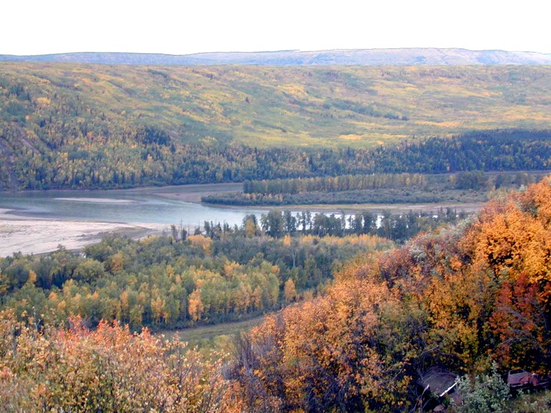
The Peace River in Spring
Peace River Fog
Last Light
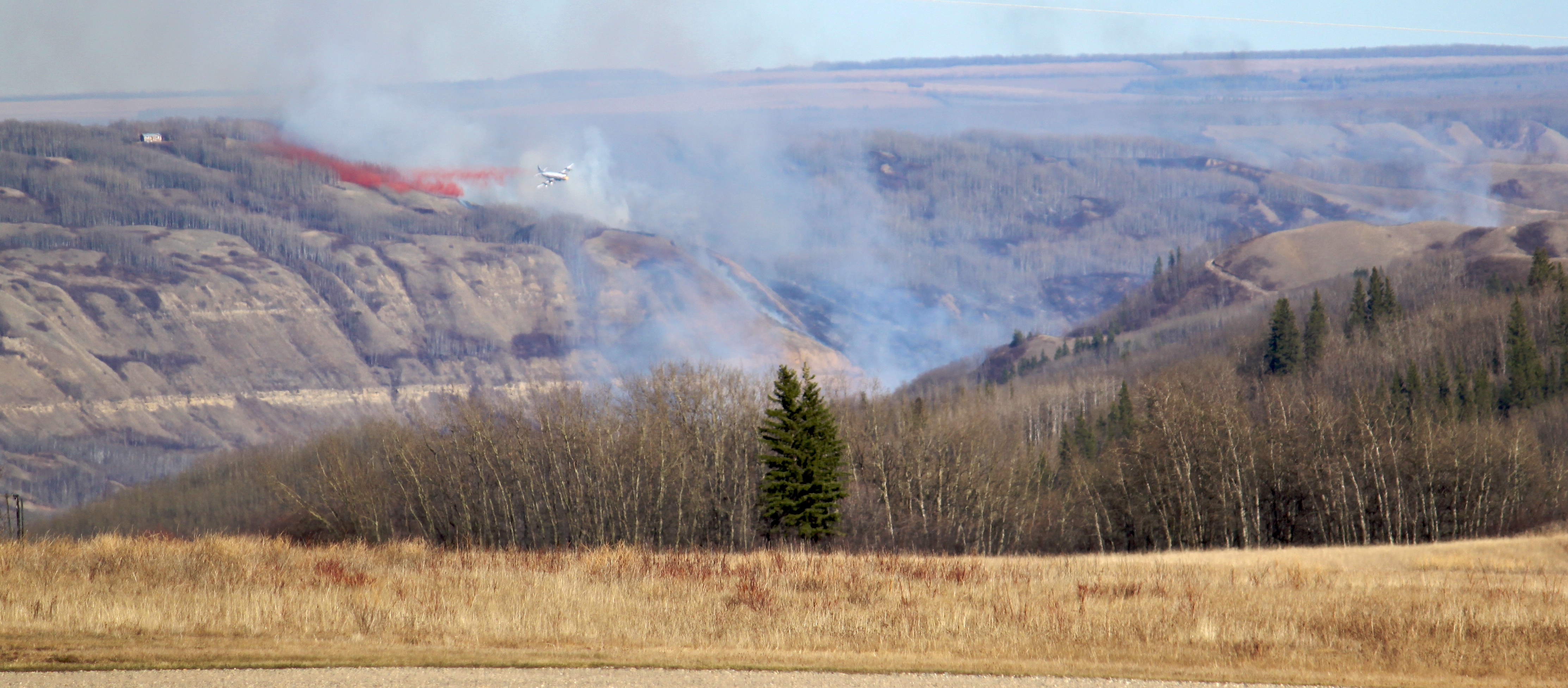
Fire Near Fort St. John, BC
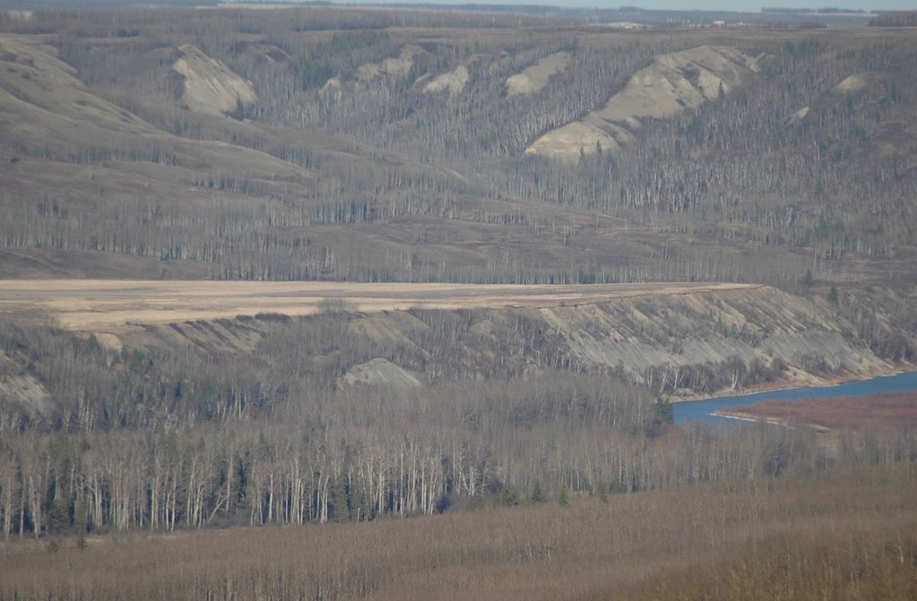
Looking Towards North Pine

Finding a little Peace in Peace Country!
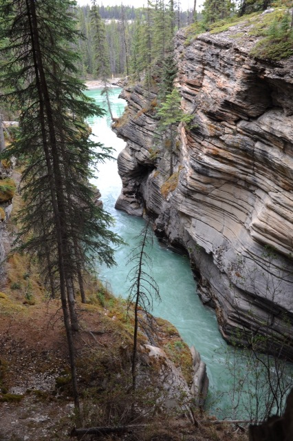
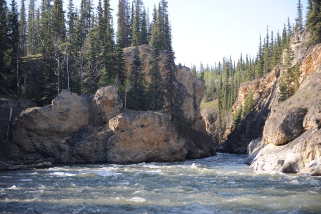
Calm canyon
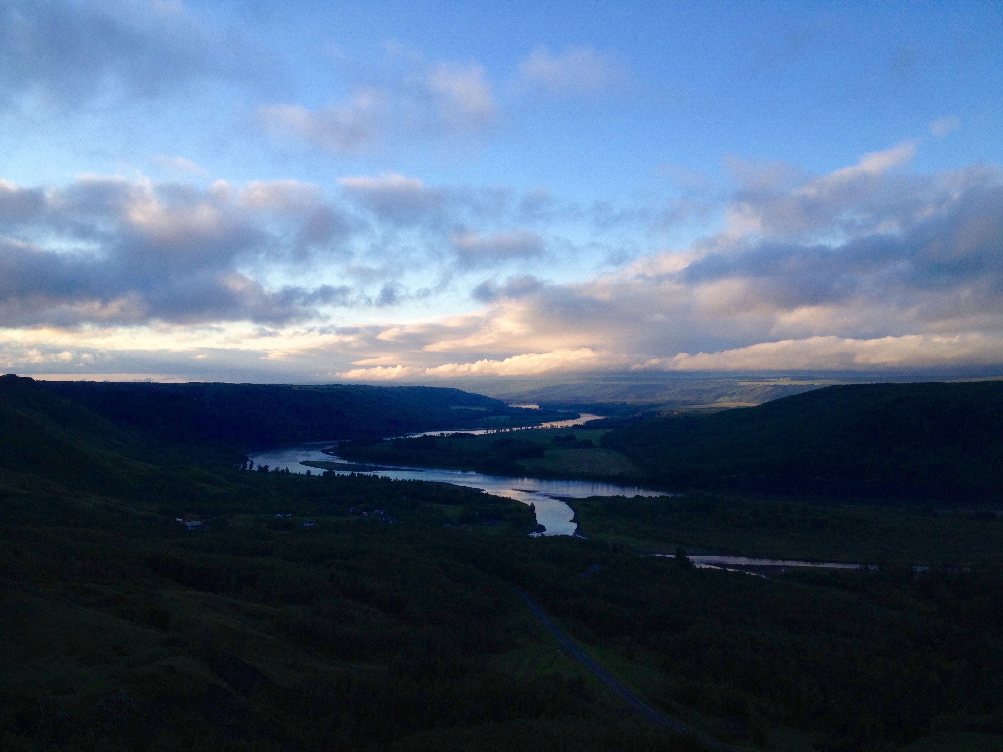
Sunrise on the Peace River
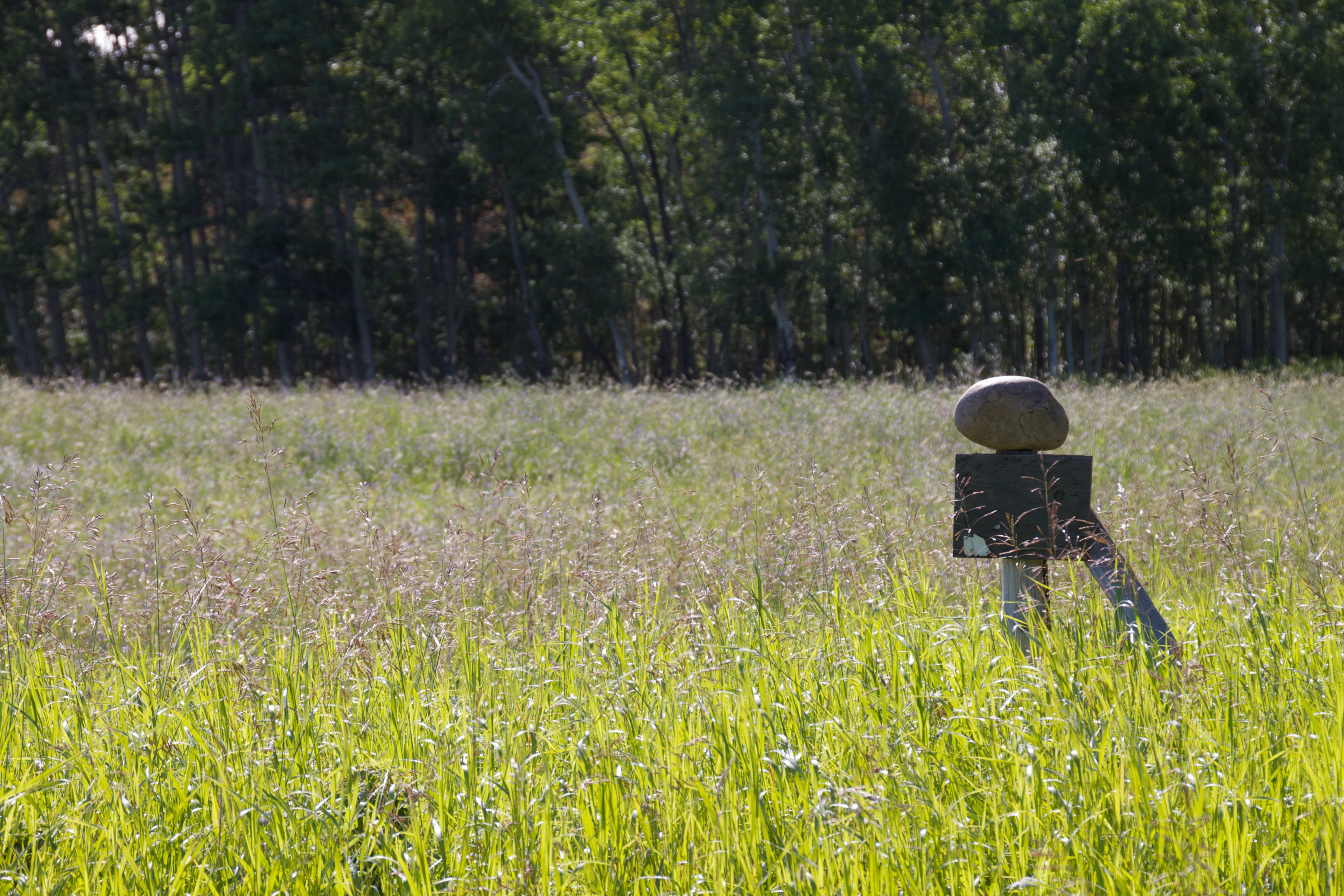
Balancing Act
Northern Rocky Mountains & The Peace River
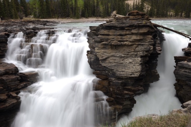
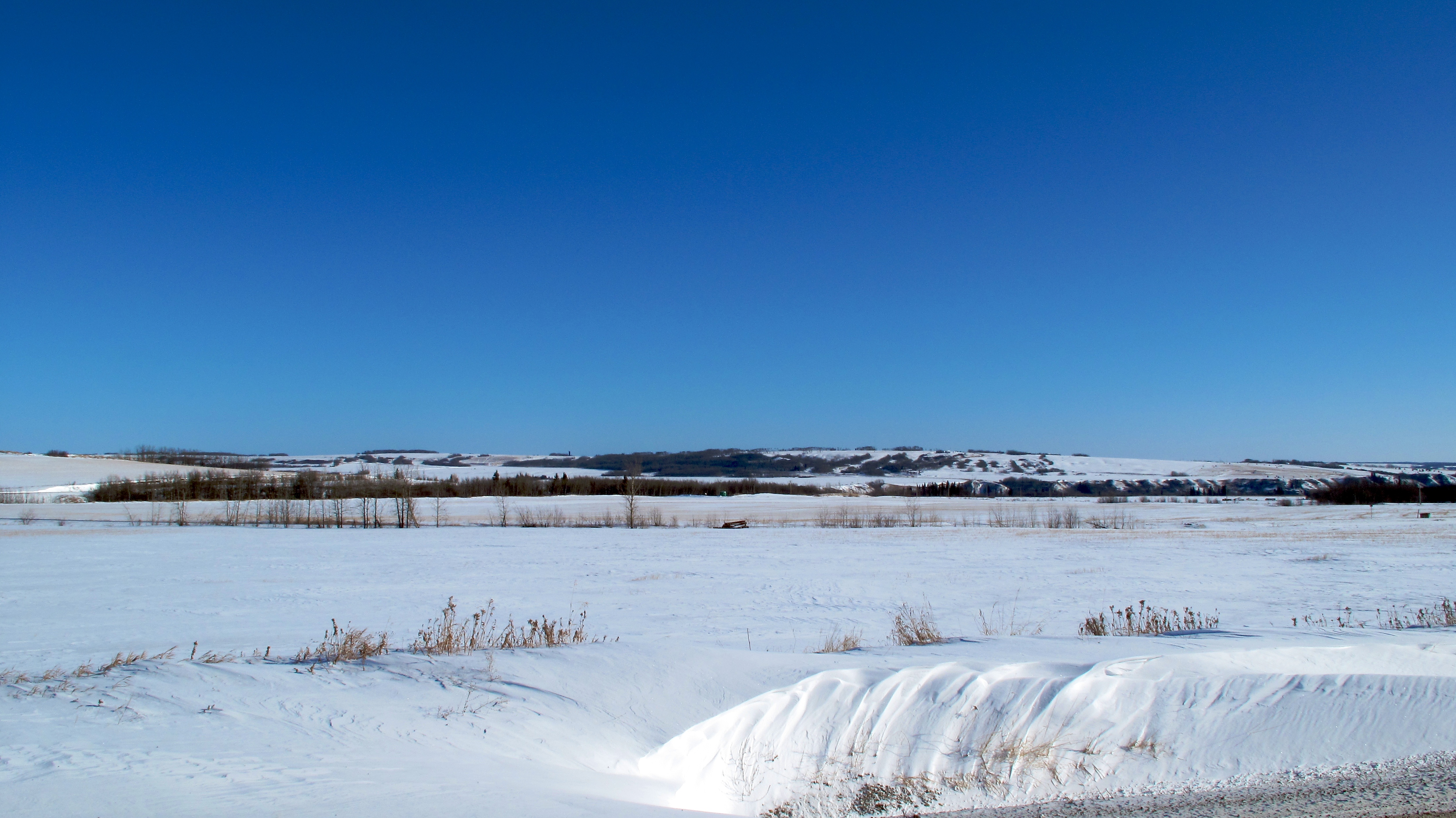
Ribbons of white
Topographic Map of Baldonnel, BC V0C 1C0, Canada
Find elevation by address:

Places in Baldonnel, BC V0C 1C0, Canada:
Places near Baldonnel, BC V0C 1C0, Canada:
Peace River C
Taylor
Taylor
St, Taylor, BC V0C 2K0, Canada
Old Fort
Farmington
Arras
Groundbirch
1505 101 Ave
Dawson Creek
Alaska Highway (alcan) Mile 0 Milepost
Clayhurst
Upper Cutbank
Peace River D
Recent Searches:
- Elevation of Redondo Ave, Long Beach, CA, USA
- Elevation of Sadovaya Ulitsa, 20, Rezh, Sverdlovskaya oblast', Russia
- Elevation of Ulitsa Kalinina, 79, Rezh, Sverdlovskaya oblast', Russia
- Elevation of 72-31 Metropolitan Ave, Middle Village, NY, USA
- Elevation of 76 Metropolitan Ave, Brooklyn, NY, USA
- Elevation of Alisal Rd, Solvang, CA, USA
- Elevation of Vista Blvd, Sparks, NV, USA
- Elevation of 15th Ave SE, St. Petersburg, FL, USA
- Elevation of Beall Road, Beall Rd, Florida, USA
- Elevation of Leguwa, Nepal