Elevation of Clayhurst, BC V0C 1K0, Canada
Location: Canada > British Columbia > Peace River > Peace River B >
Longitude: -120.03180
Latitude: 56.188434
Elevation: 644m / 2113feet
Barometric Pressure: 94KPa
Elevation Map:
Satellite Map:
Related Photos:
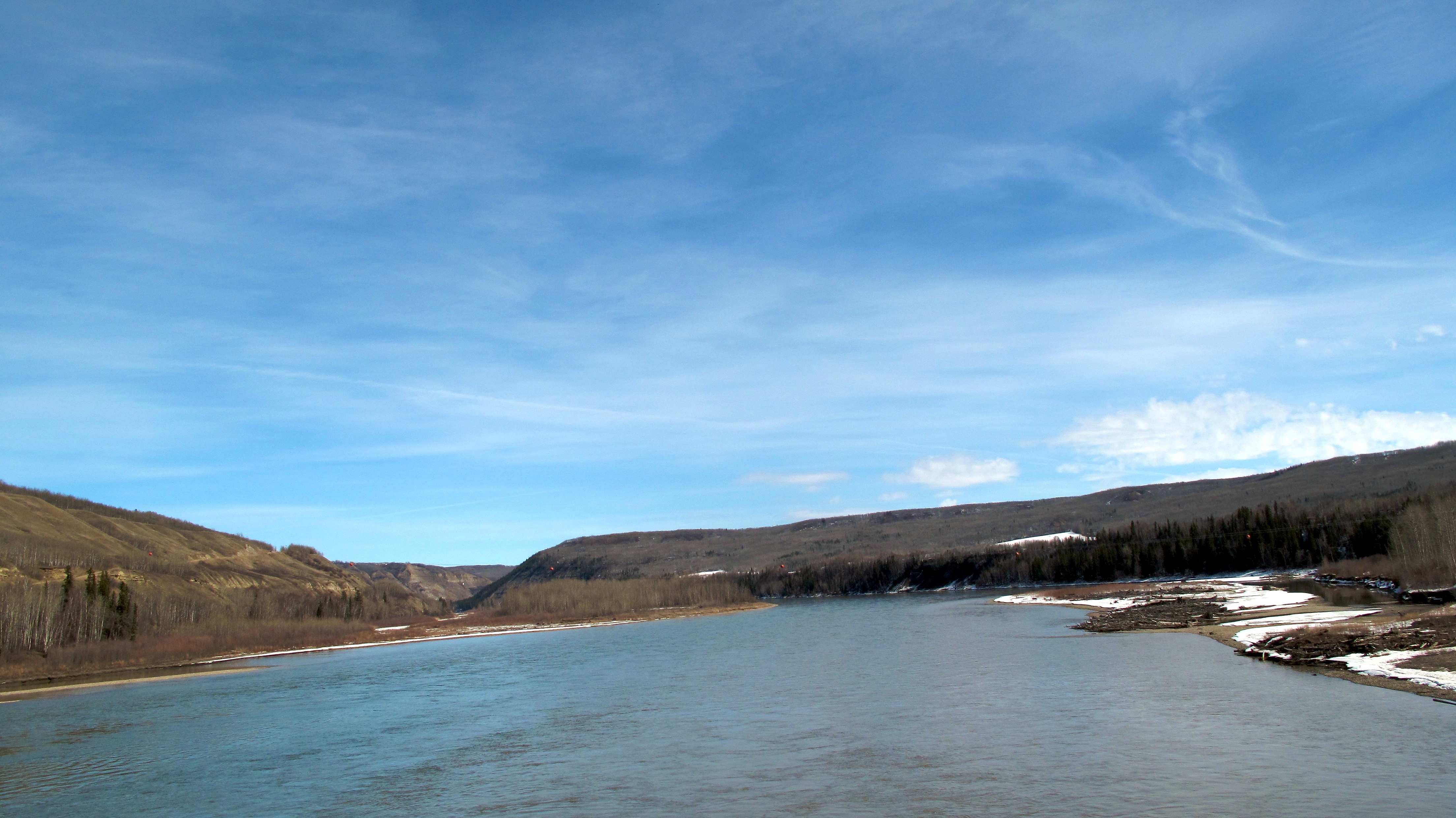
The Peace River
The Peace River
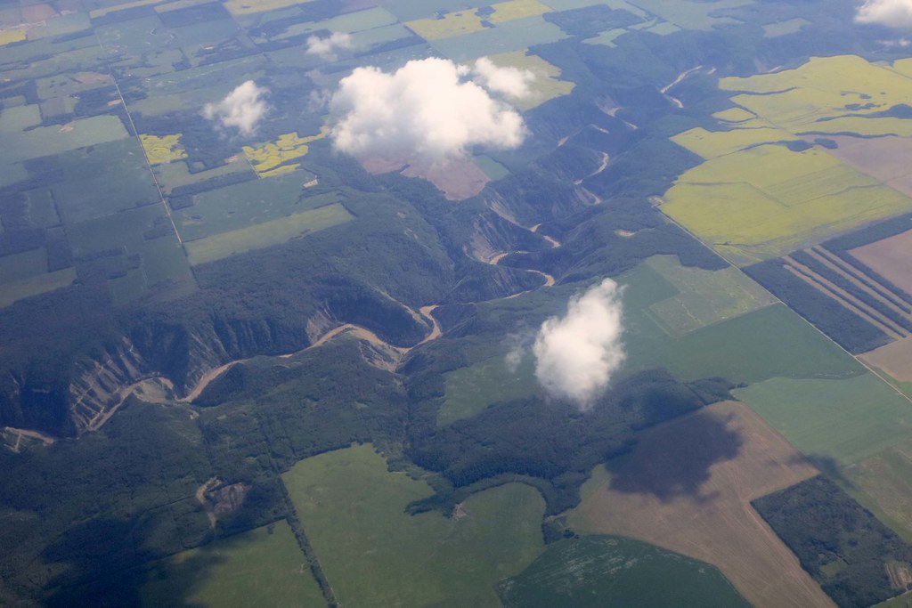
Kiskatinaw River IMG_1875
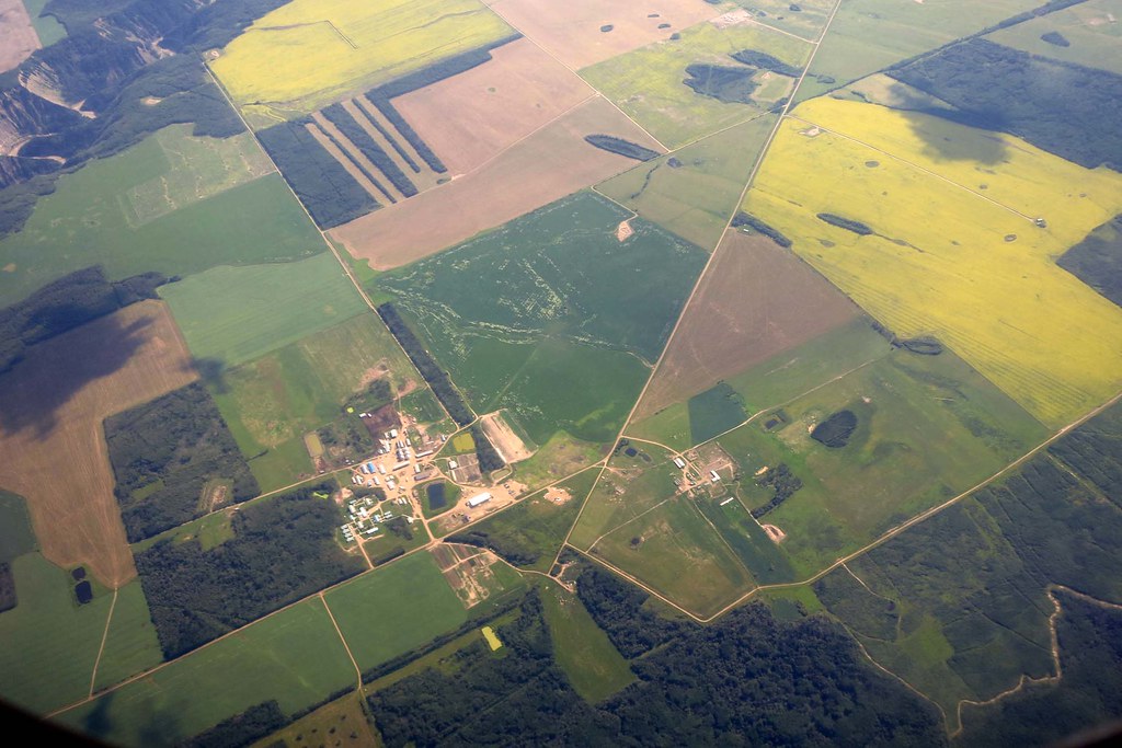
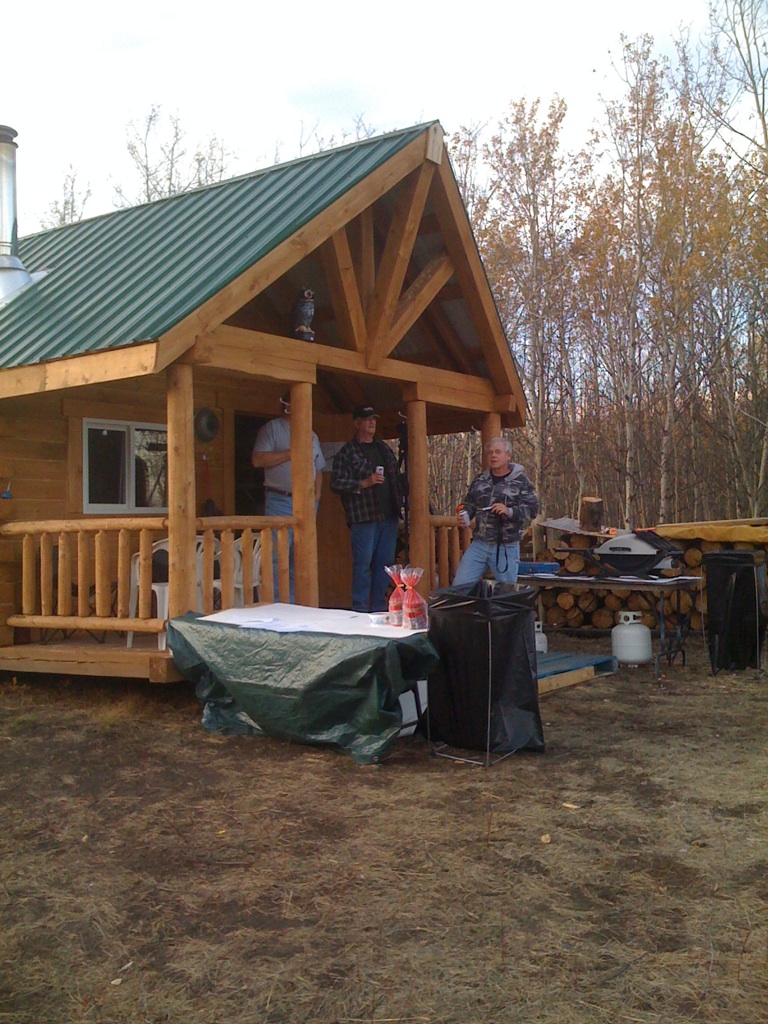
Colony Farm IMG_1874
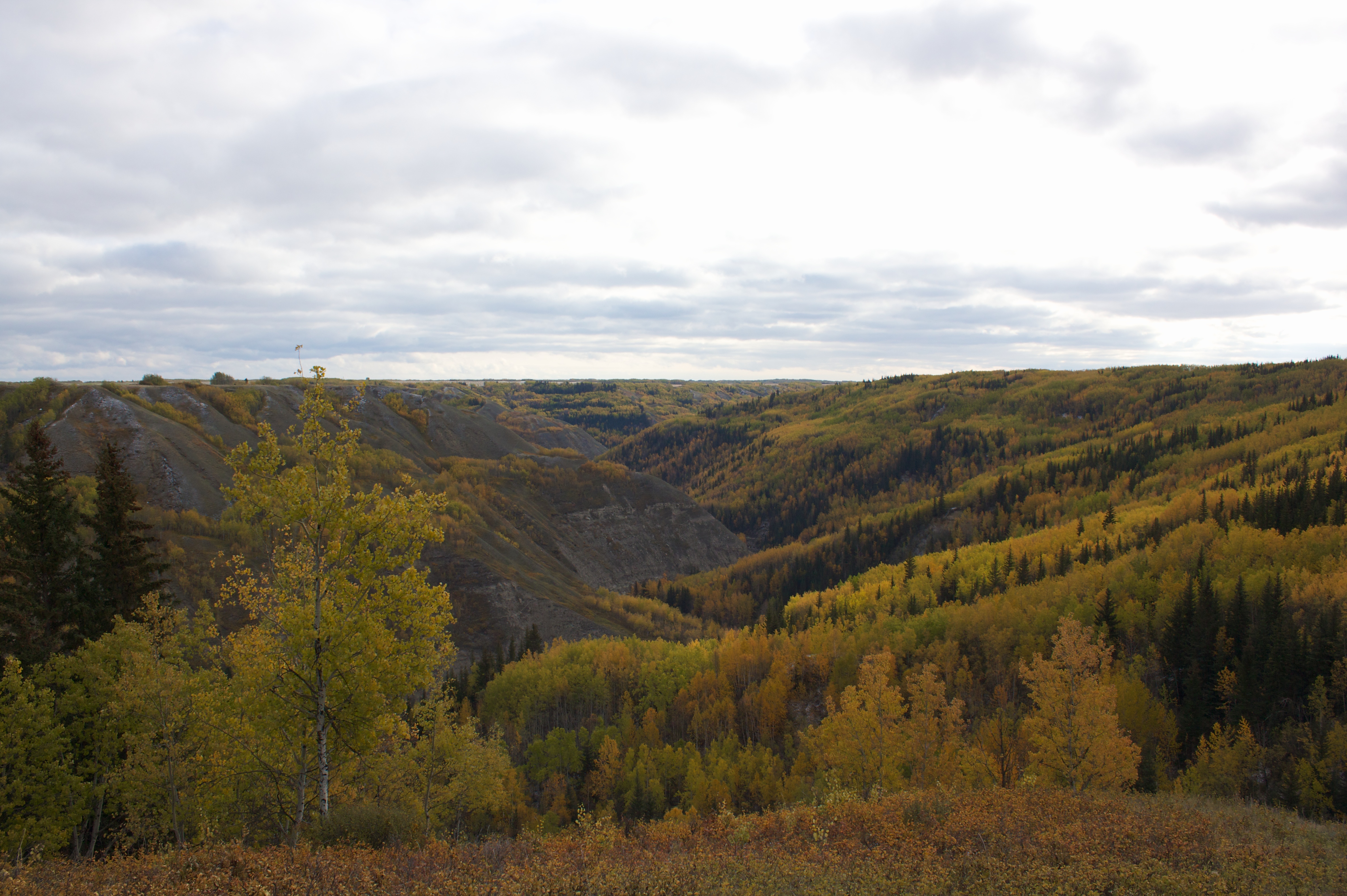
Golata Creek In Fall
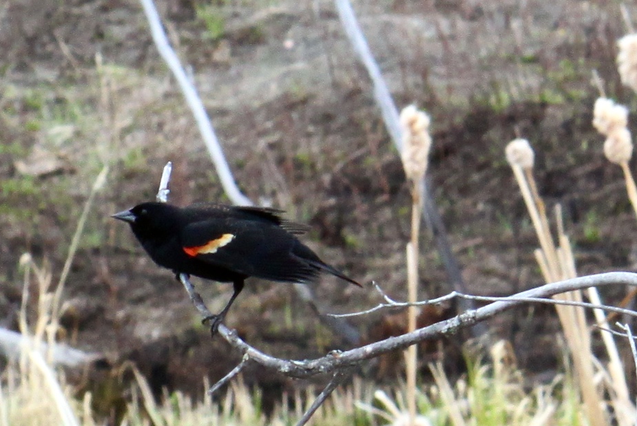
Red-Winged Blackbird
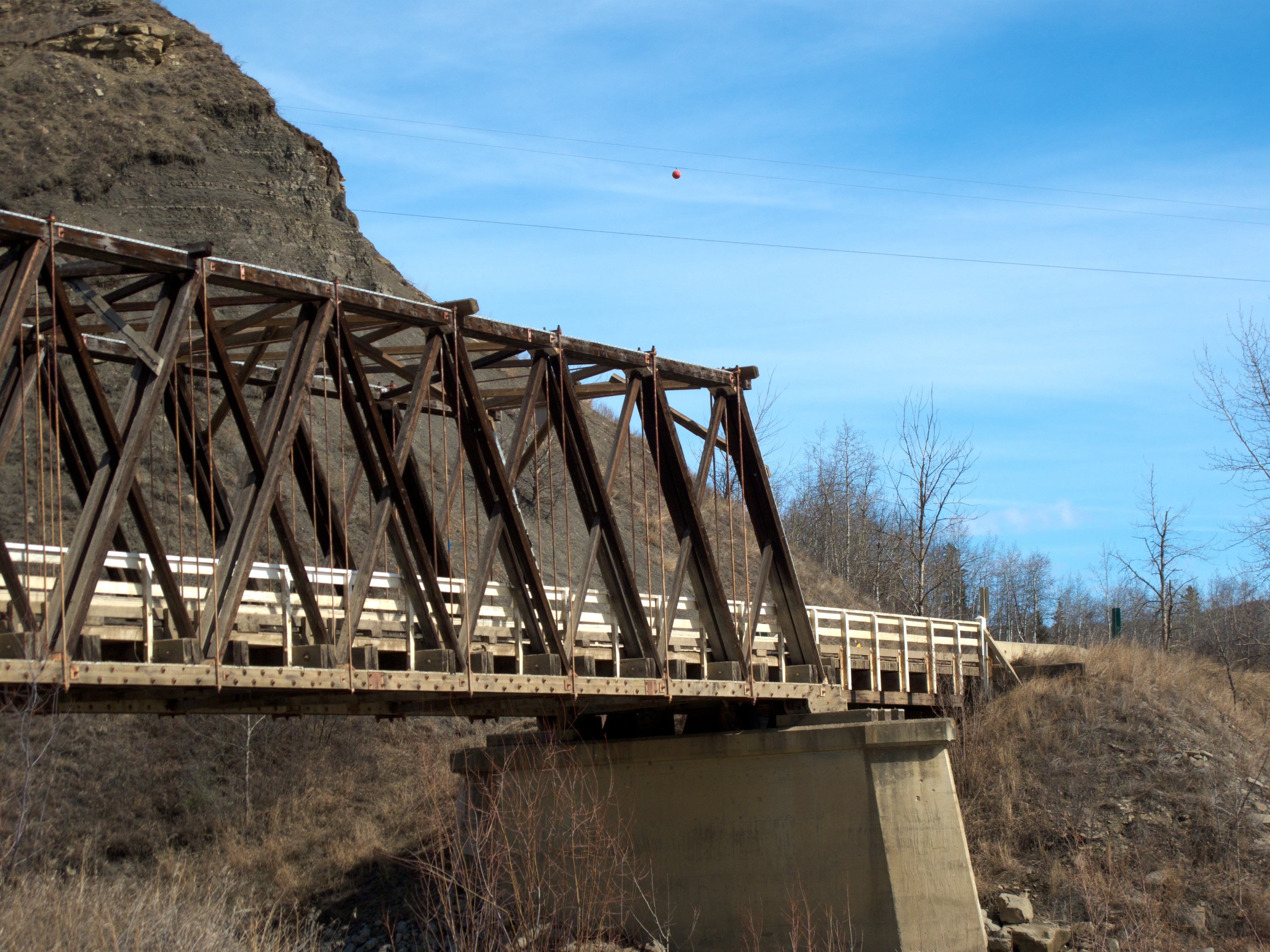
Golata Creek Bridge in Clayhurst
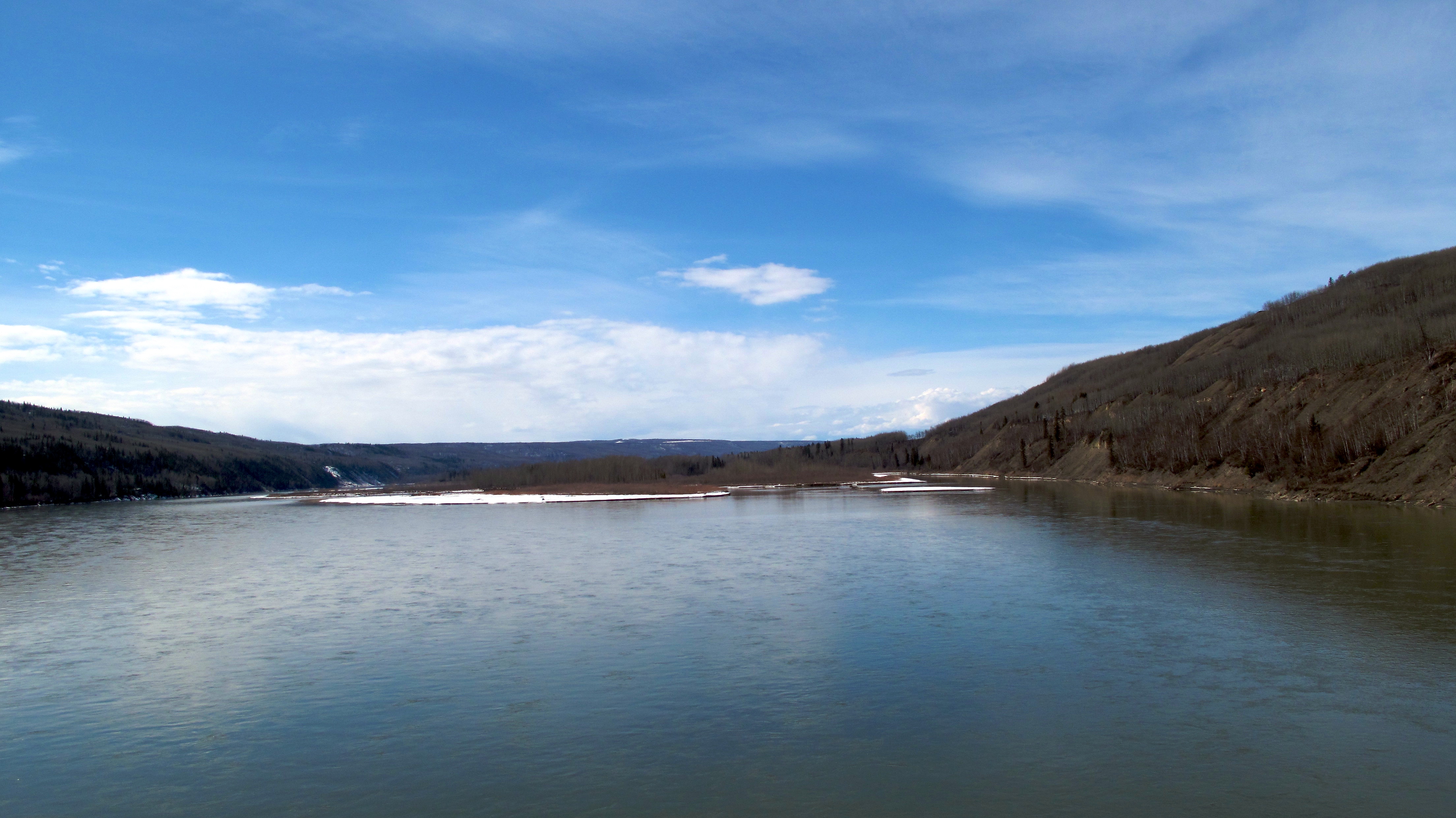
The Peace River
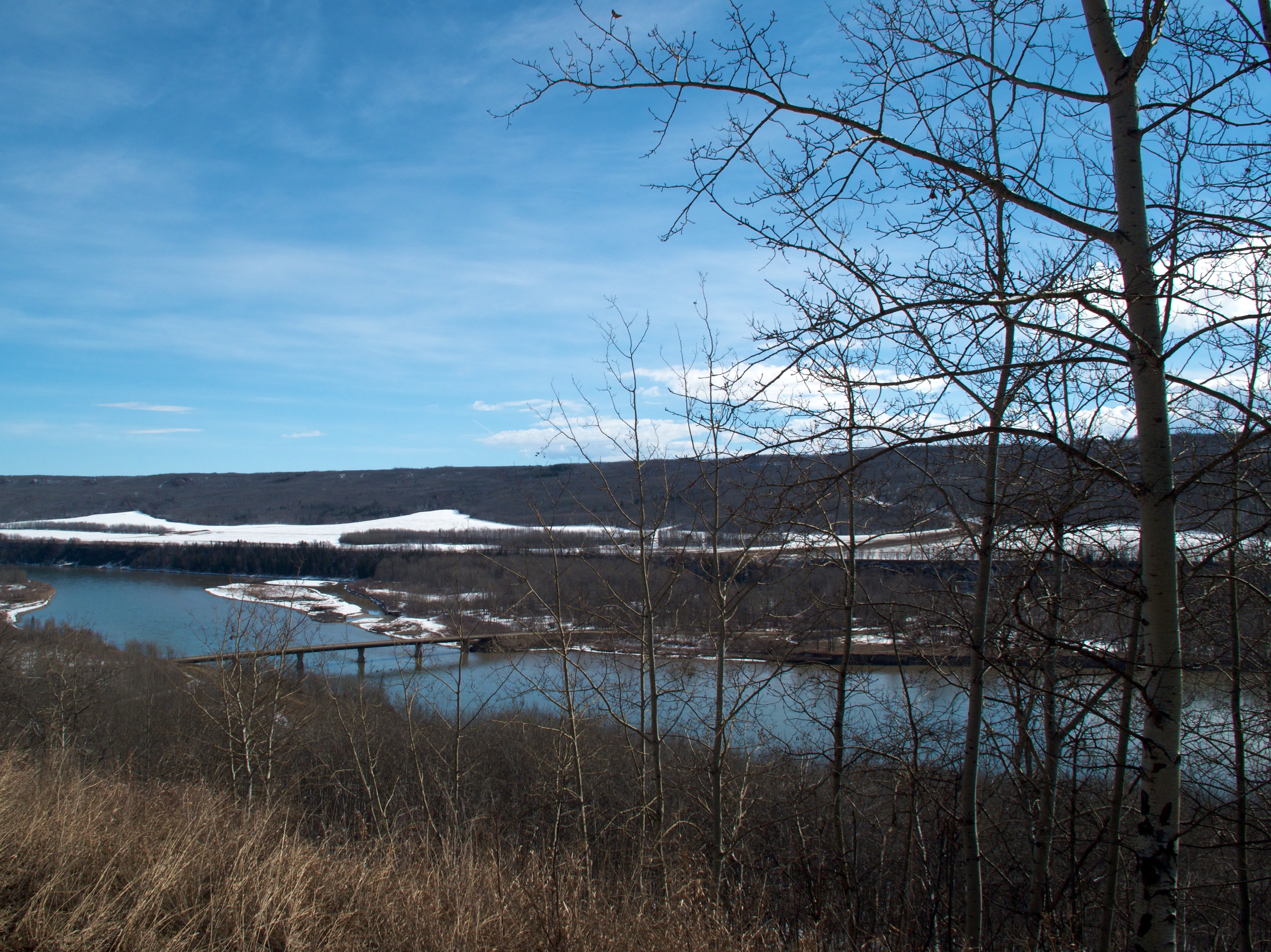
The Peace River
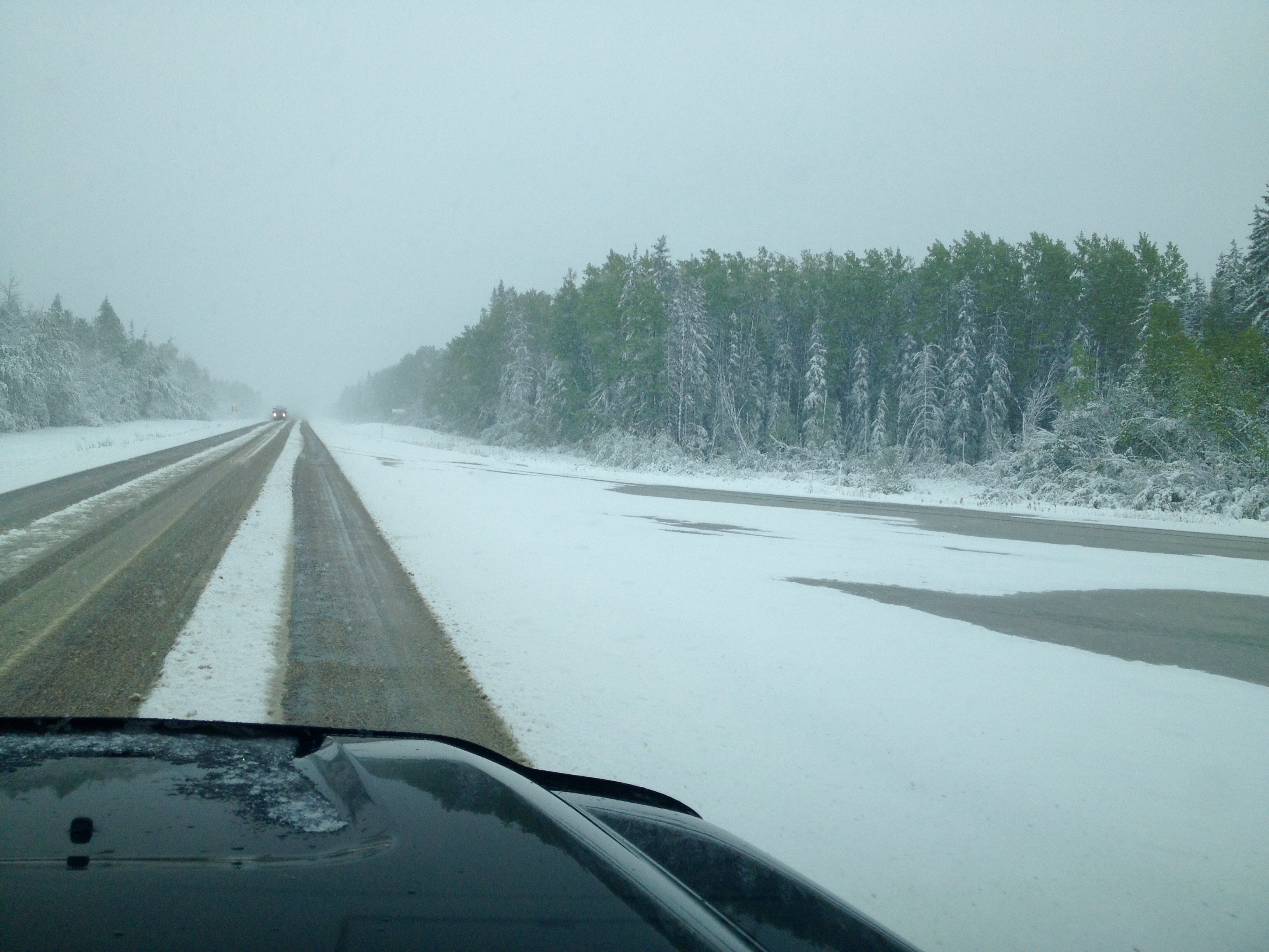
Canada, 3-Oct-08
As Expected for the May Holiday Weekend
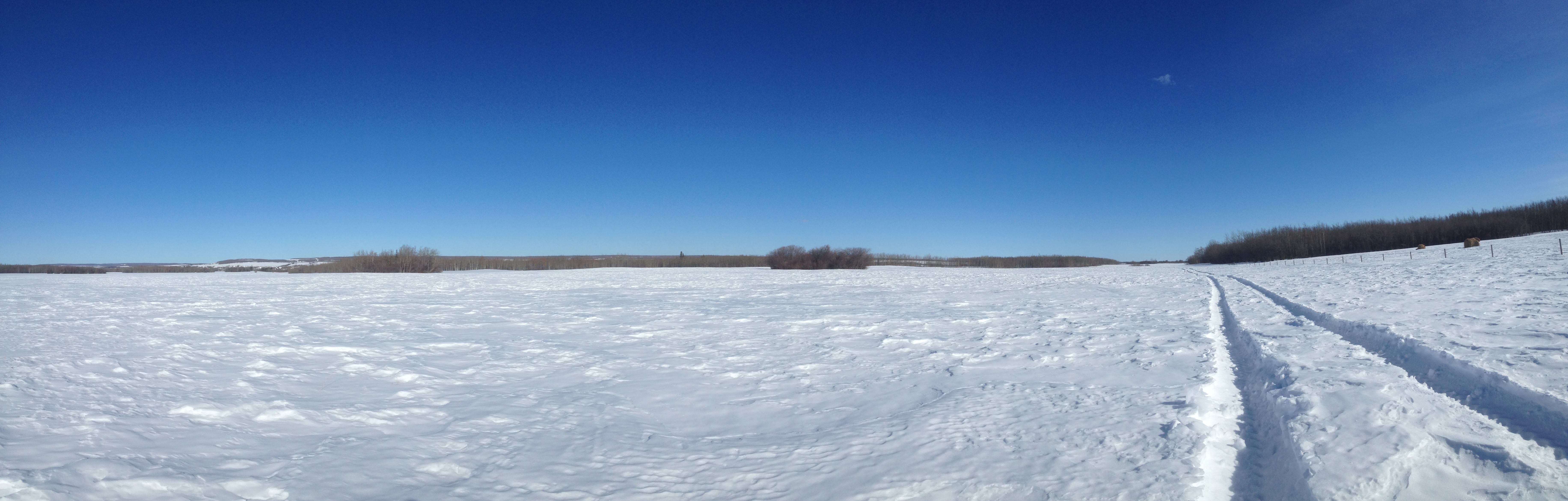
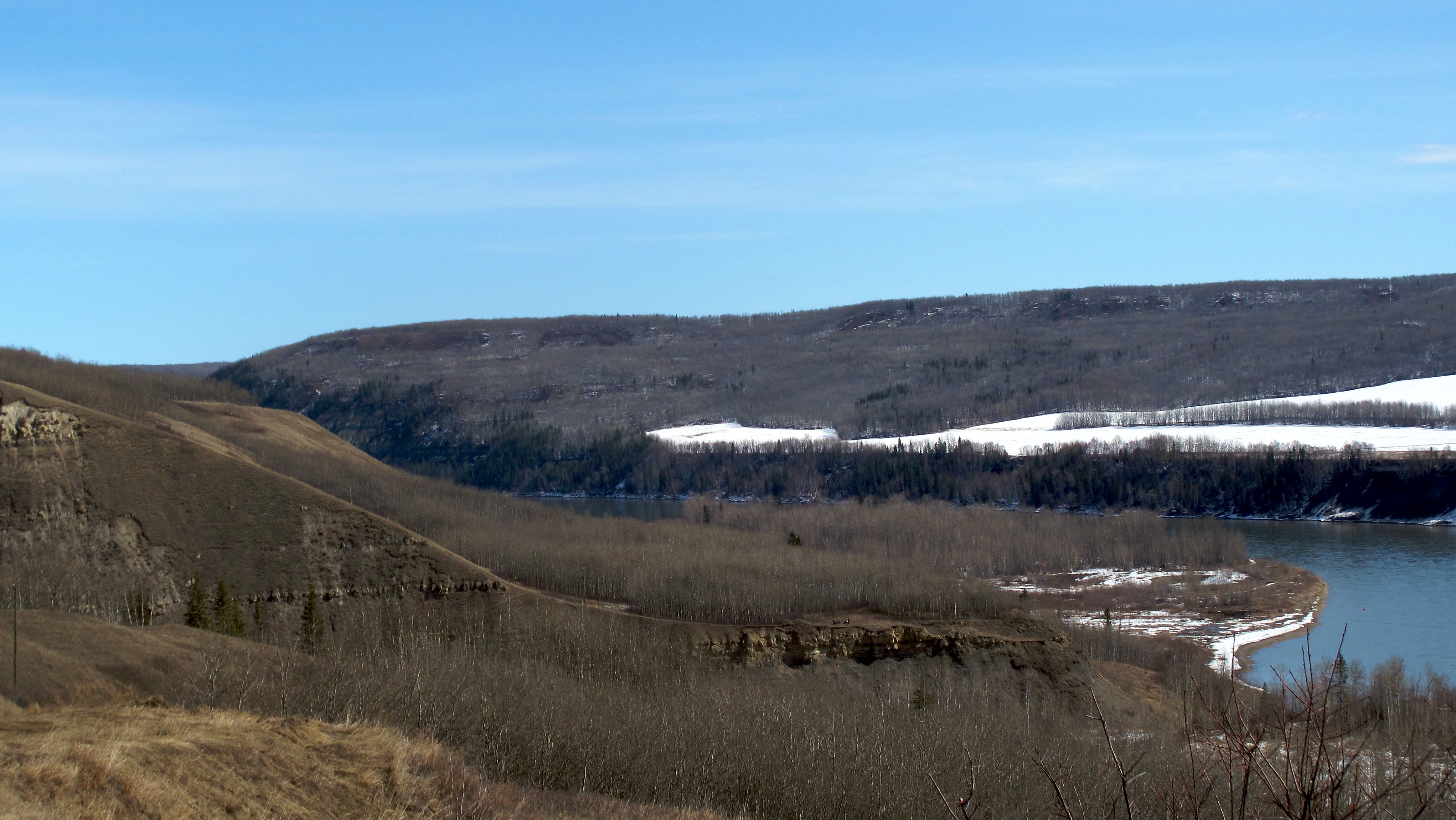
One of Those Blue Sky days
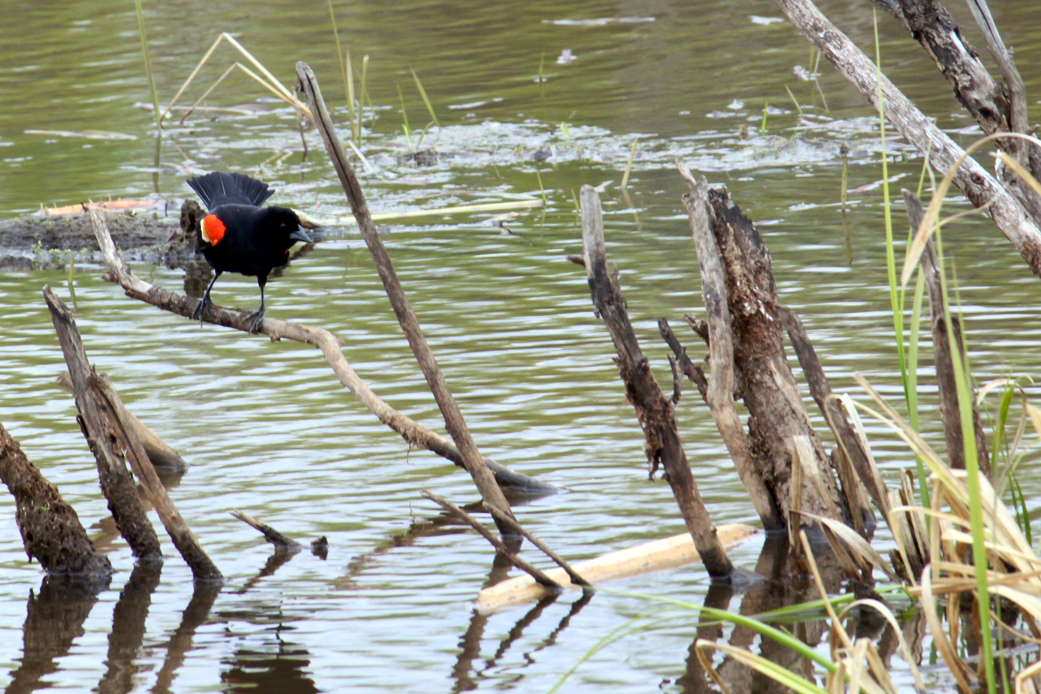
Red-Winged Blackbird
Topographic Map of Clayhurst, BC V0C 1K0, Canada
Find elevation by address:

Places near Clayhurst, BC V0C 1K0, Canada:
Alaska Highway (alcan) Mile 0 Milepost
Dawson Creek
1505 101 Ave
Farmington
Taylor
Taylor
St, Taylor, BC V0C 2K0, Canada
Arras
Baldonnel
Peace River C
Upper Cutbank
Old Fort
Groundbirch
Peace River D
Recent Searches:
- Elevation of Redondo Ave, Long Beach, CA, USA
- Elevation of Sadovaya Ulitsa, 20, Rezh, Sverdlovskaya oblast', Russia
- Elevation of Ulitsa Kalinina, 79, Rezh, Sverdlovskaya oblast', Russia
- Elevation of 72-31 Metropolitan Ave, Middle Village, NY, USA
- Elevation of 76 Metropolitan Ave, Brooklyn, NY, USA
- Elevation of Alisal Rd, Solvang, CA, USA
- Elevation of Vista Blvd, Sparks, NV, USA
- Elevation of 15th Ave SE, St. Petersburg, FL, USA
- Elevation of Beall Road, Beall Rd, Florida, USA
- Elevation of Leguwa, Nepal