Elevation of Dawson Creek, BC, Canada
Location: Canada > British Columbia > Peace River >
Longitude: -120.23766
Latitude: 55.7596274
Elevation: 667m / 2188feet
Barometric Pressure: 94KPa
Elevation Map:
Satellite Map:
Related Photos:

Appreciating Wildlife in the Peace River Country

The Grain Elevator Art Gallery In Dawson Creek

The Treasure at Bijoux Falls in the Pine Pass

Dawson Creek is a Bird Watchers Paradise!

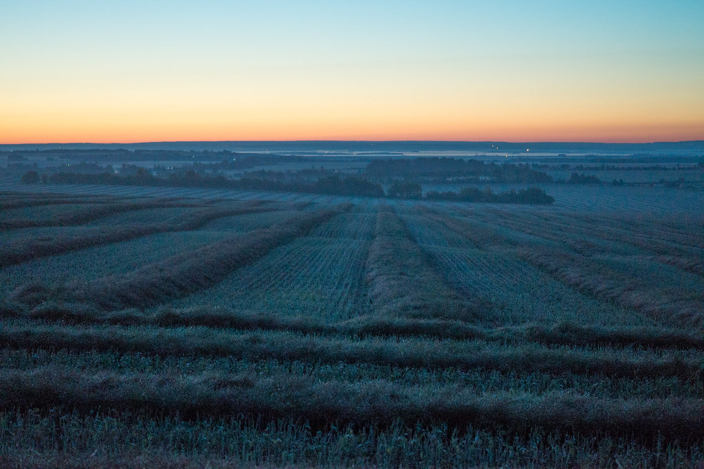
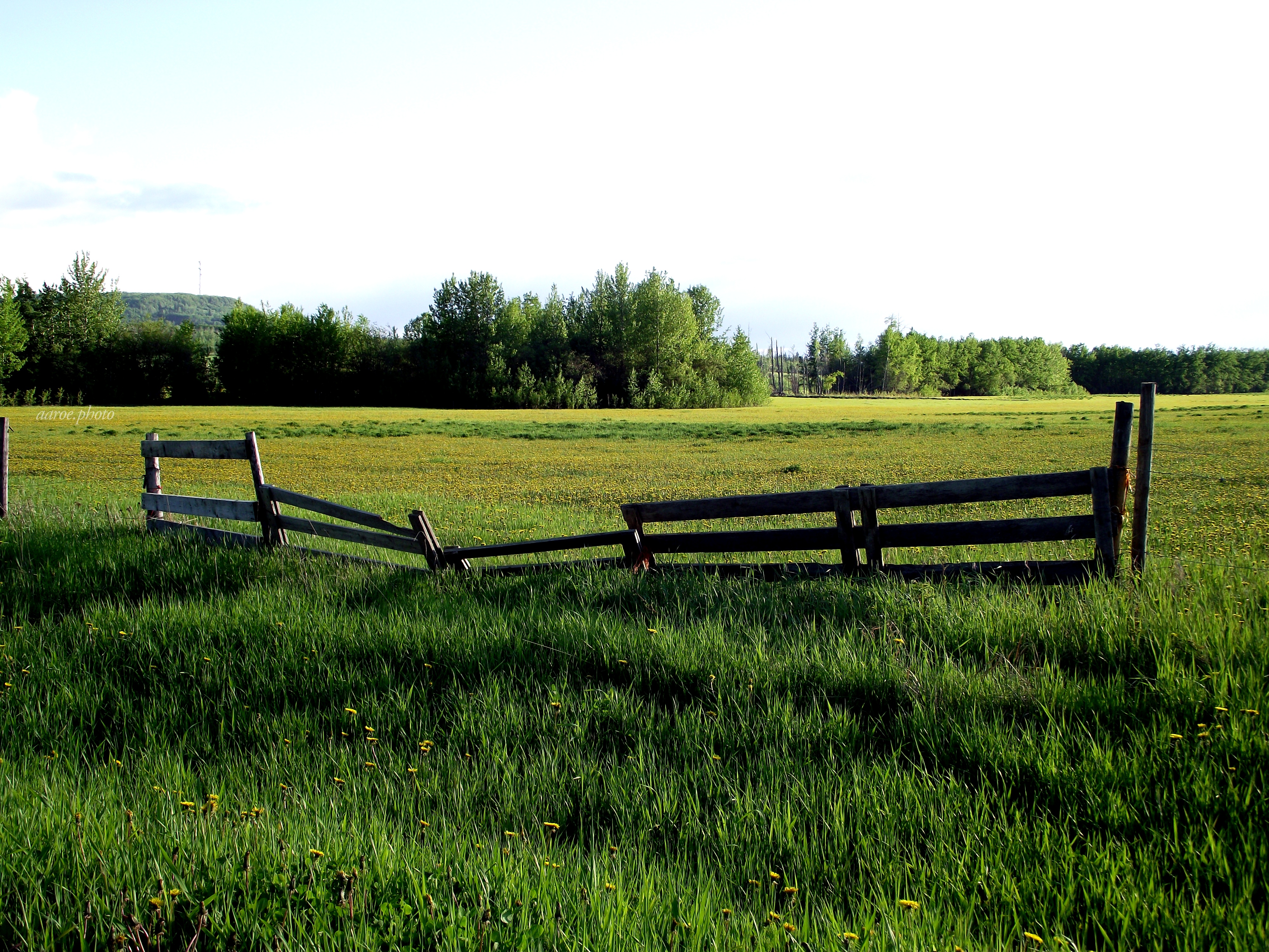
Rolling in the Peace

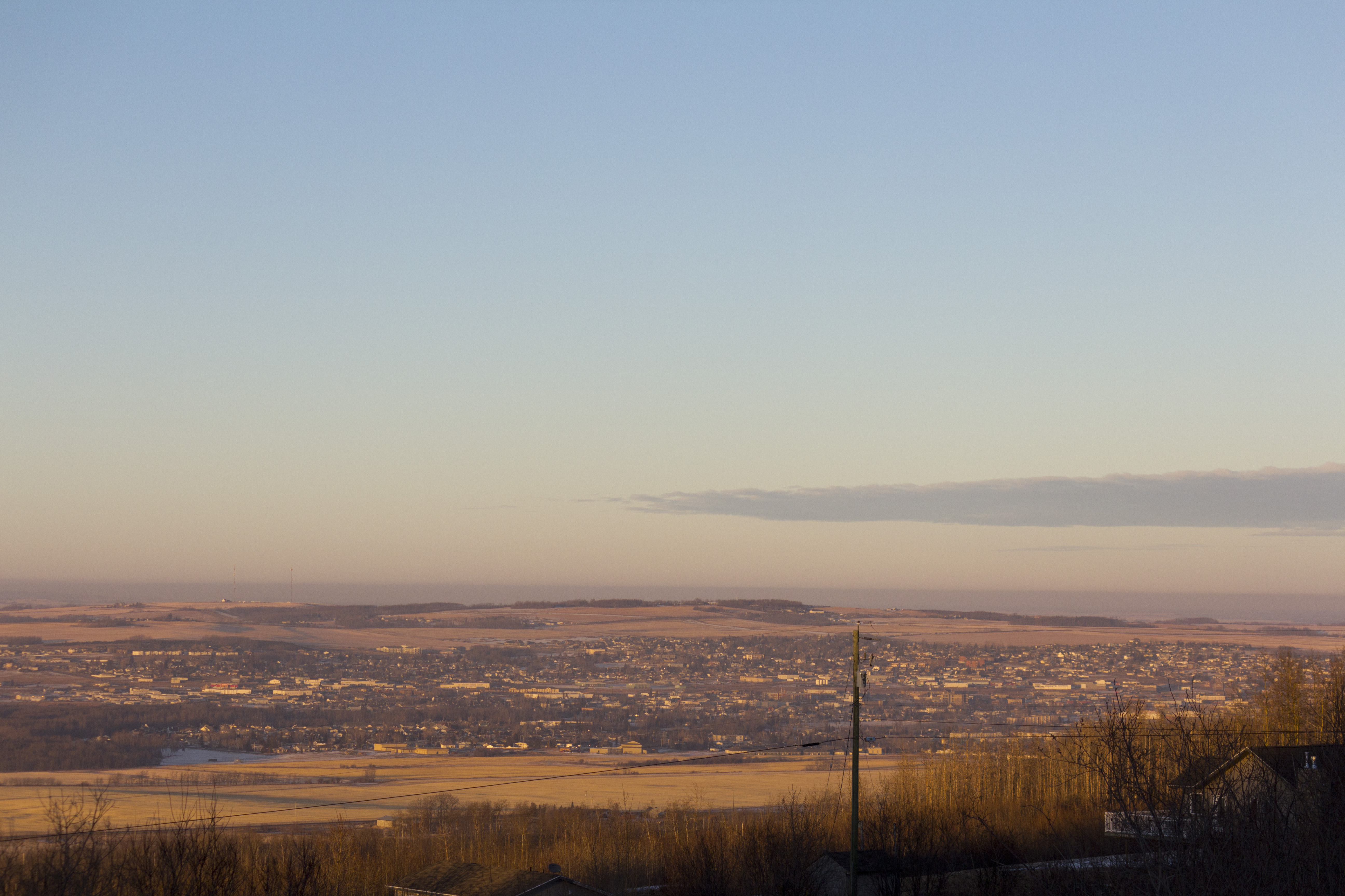
I Can See For Miles and Miles Here in Dawson Creek

There's No Place Like Home (Dawson Creek) After An Eventful Holiday In A Beautiful City (Vancouver)

Snowshoeing with a side order of wolf

Flying on a Snowmobile in Dawson Creek

The rain will not stop me.

Dawson Creek to Vancouver: An Aerial View

Yield the Right Of Way... to Moose!

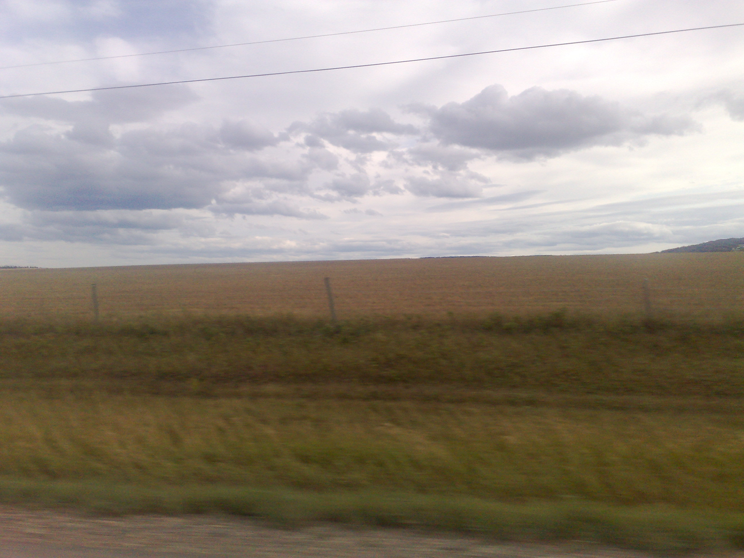
Driving through Peace Country

Up the Alaska Highway: Pink Mountain, Mile 143

Café Canadiano in the Sunshine and Fresh Air in Dawson Creek

Provincial Parks in the Dawson Creek area
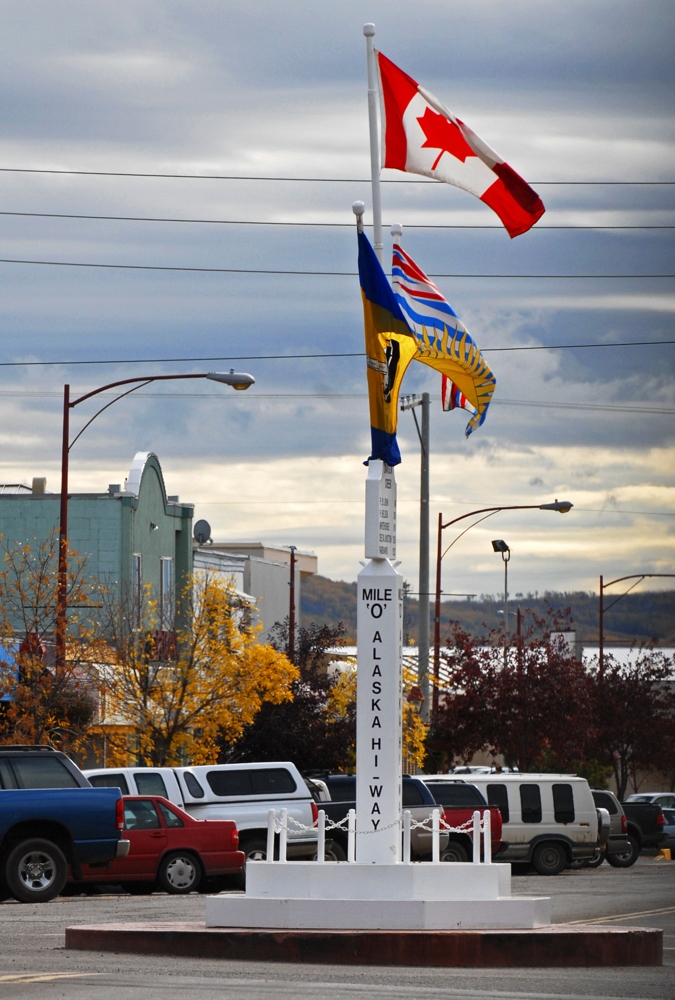
Alaska Highway Mile 0 - North to Alaska 2006 1 s003.jpg

A Scenic Drive to the Peace River in the Spring

Alaska Highway House

Saskatoon Berries in Peace River Country

Saskatoon Berries in Peace River Country

Alaska Highway History: None of the Comforts of Home

Ride to Chetwynd for the Chainsaws.

View from the Wedding Site
DSC03849.jpg
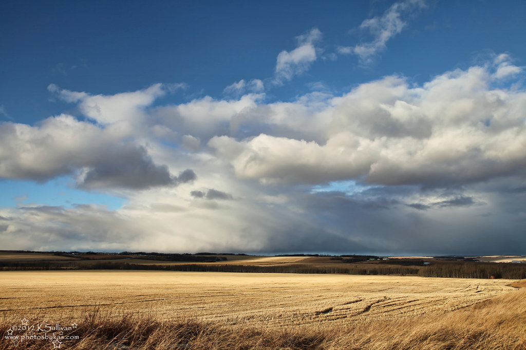
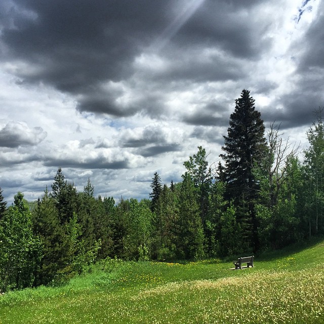
9/366 ~ Weather Comin' In
Dawson Creek
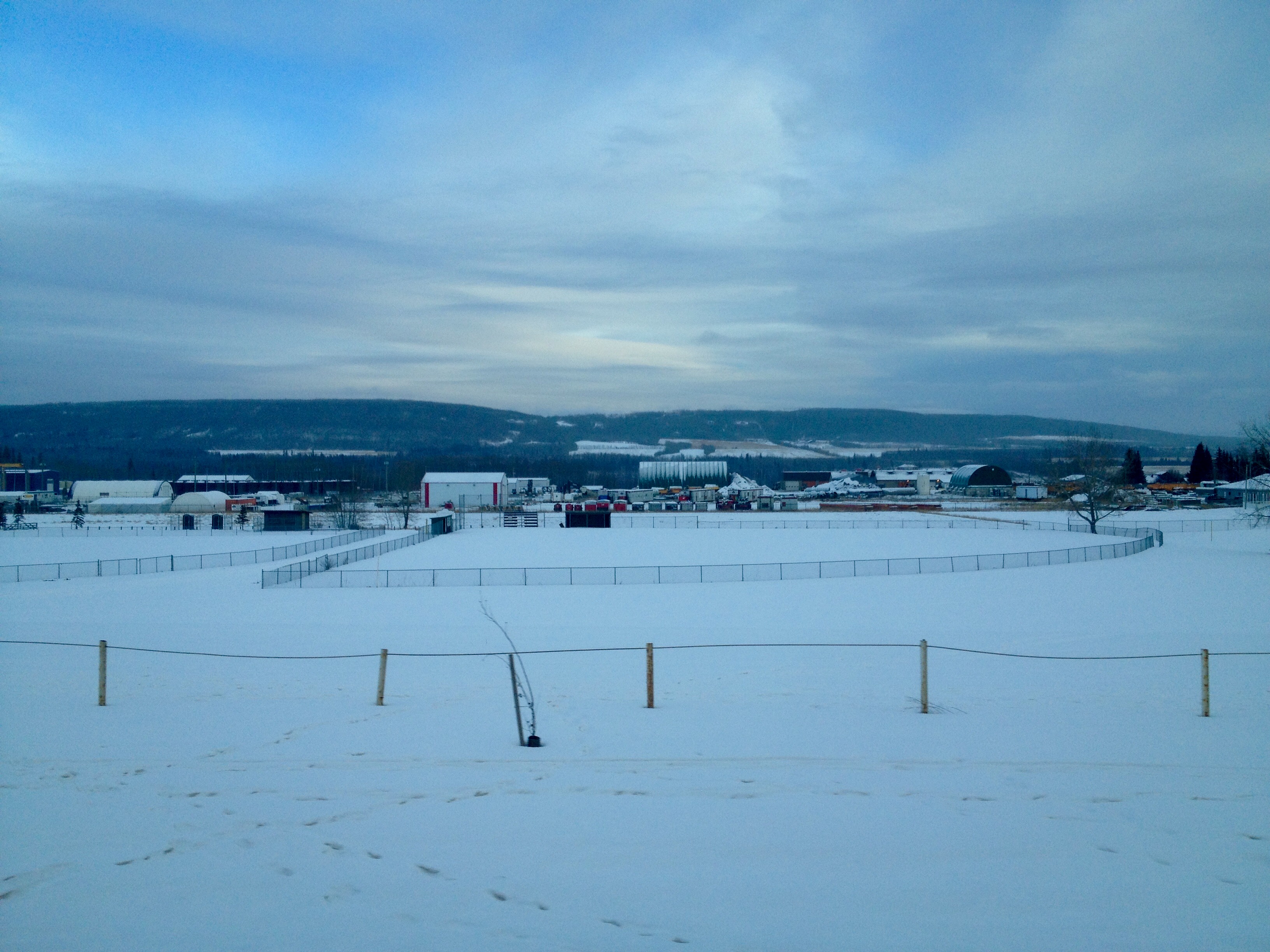
No Ball Game Today

5 Winter Travel Tips If You're Coming to Dawson Creek

Dawson Creek Walking Trail

A Man Made Marvel of the Peace River Country.

Sledding in the Peace River Country

'Snow' When It's Not Snowing

Orangey-Hue
On The Road
Ill Repair

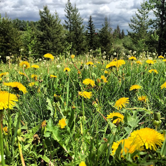
Yellow is the Color of Summer in the Peace River Country
#dawsoncreek
#dawsoncreek #theseareweeds
Topographic Map of Dawson Creek, BC, Canada
Find elevation by address:

Places near Dawson Creek, BC, Canada:
1505 101 Ave
Alaska Highway (alcan) Mile 0 Milepost
Arras
Farmington
Upper Cutbank
Clayhurst
St, Taylor, BC V0C 2K0, Canada
Taylor
Taylor
Baldonnel
Peace River C
Peace River D
Groundbirch
Old Fort
Recent Searches:
- Elevation of Sadovaya Ulitsa, 20, Rezh, Sverdlovskaya oblast', Russia
- Elevation of Ulitsa Kalinina, 79, Rezh, Sverdlovskaya oblast', Russia
- Elevation of 72-31 Metropolitan Ave, Middle Village, NY, USA
- Elevation of 76 Metropolitan Ave, Brooklyn, NY, USA
- Elevation of Alisal Rd, Solvang, CA, USA
- Elevation of Vista Blvd, Sparks, NV, USA
- Elevation of 15th Ave SE, St. Petersburg, FL, USA
- Elevation of Beall Road, Beall Rd, Florida, USA
- Elevation of Leguwa, Nepal
- Elevation of County Rd, Enterprise, AL, USA