Elevation of Southampton County, VA, USA
Location: United States > Virginia >
Longitude: -77.102490
Latitude: 36.6788512
Elevation: 23m / 75feet
Barometric Pressure: 101KPa
Elevation Map:
Satellite Map:
Related Photos:
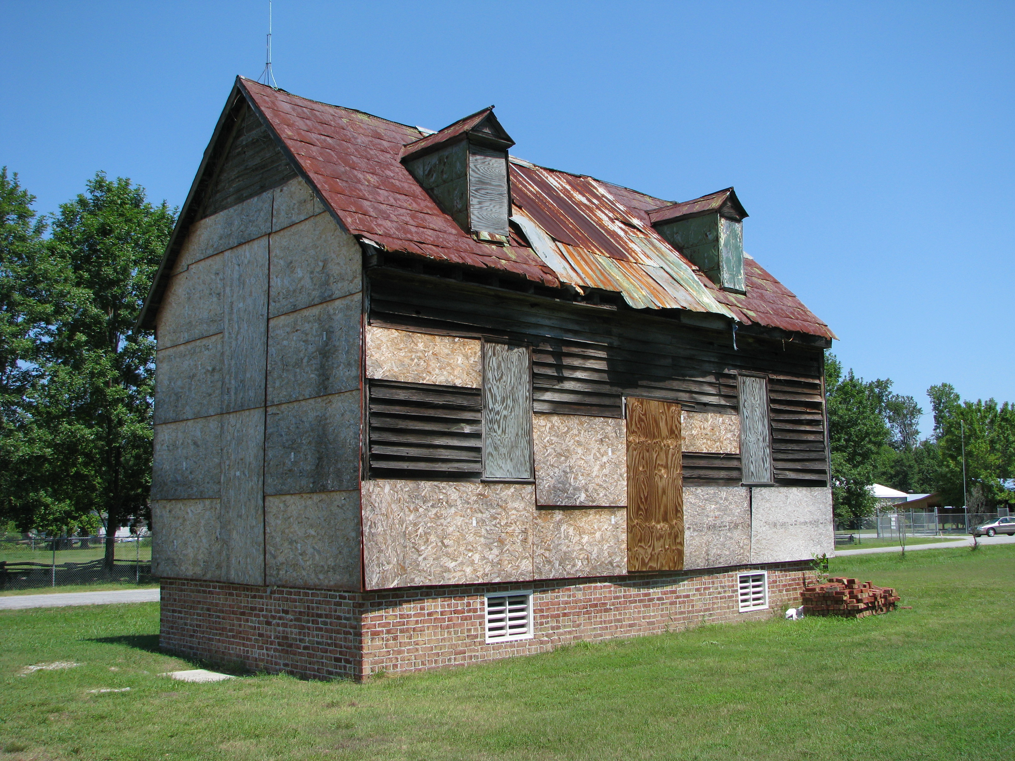
Rebecca Vaughan House
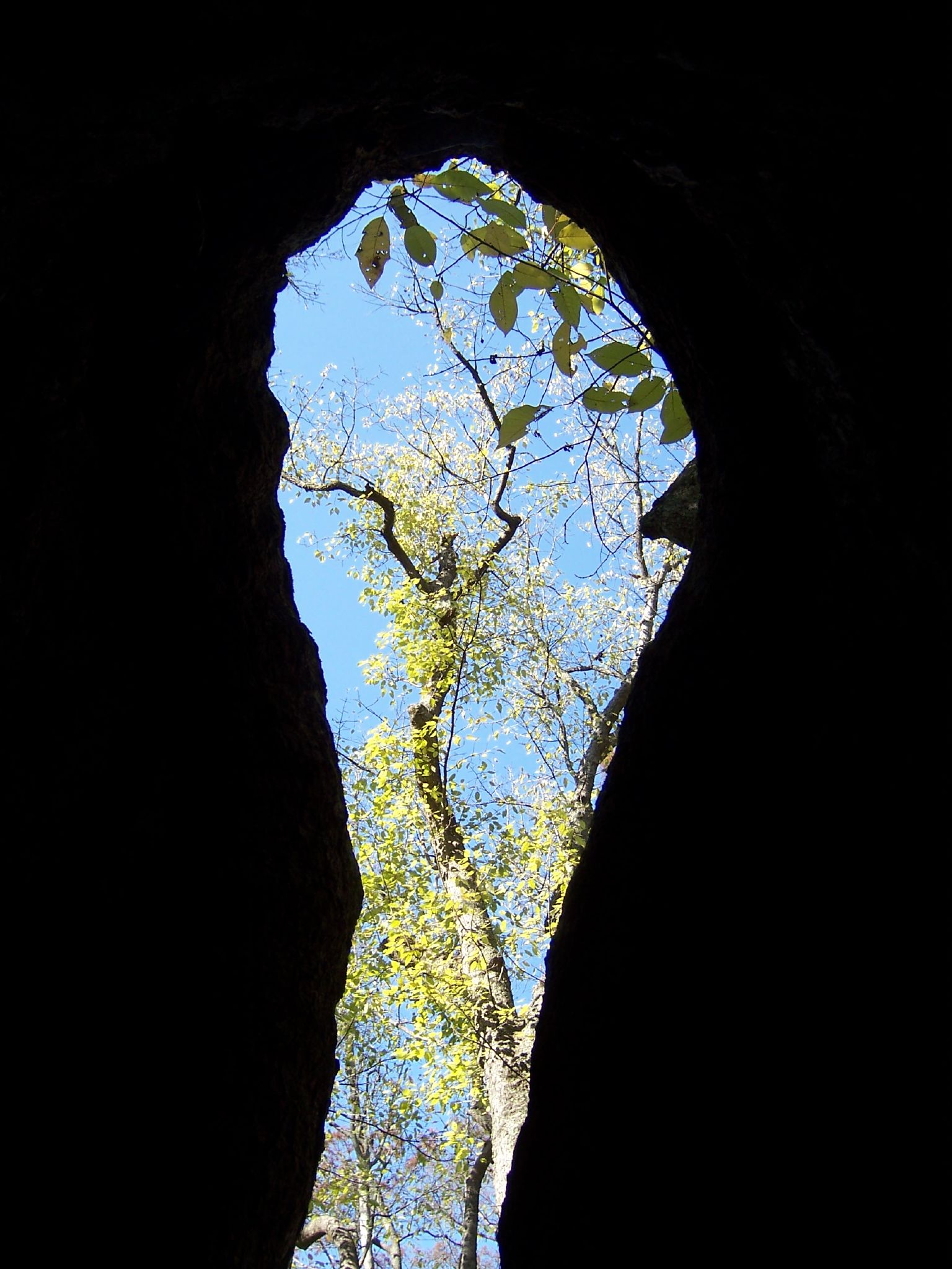
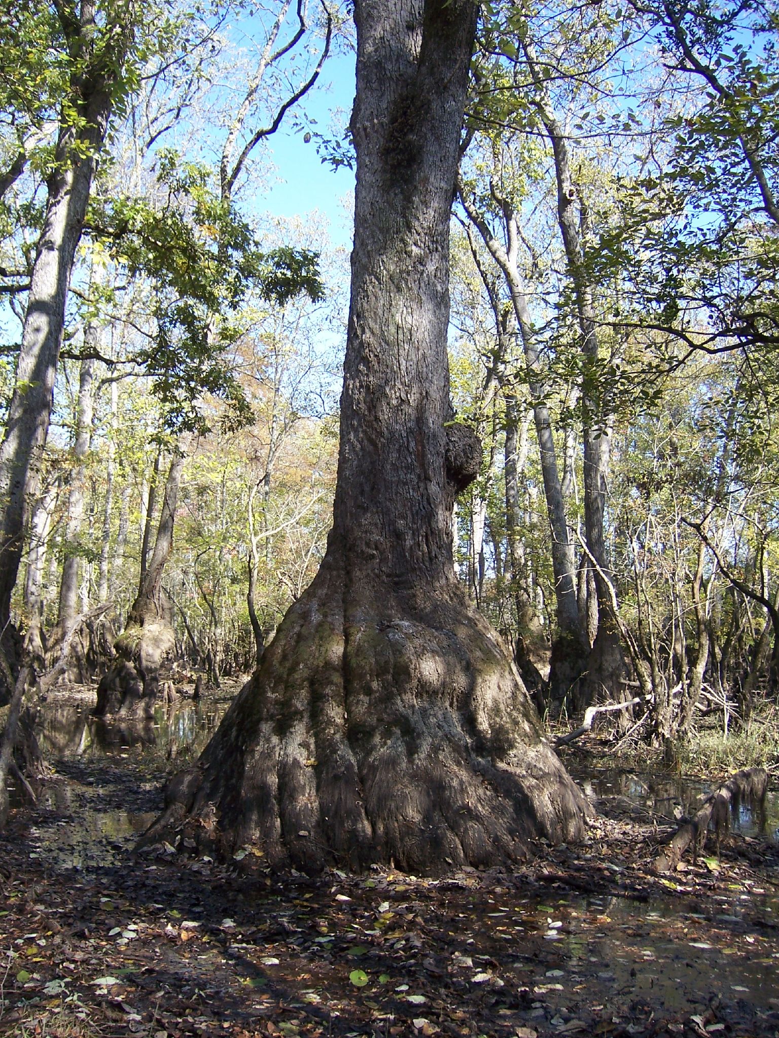
view from inside a Nyssa aquatica

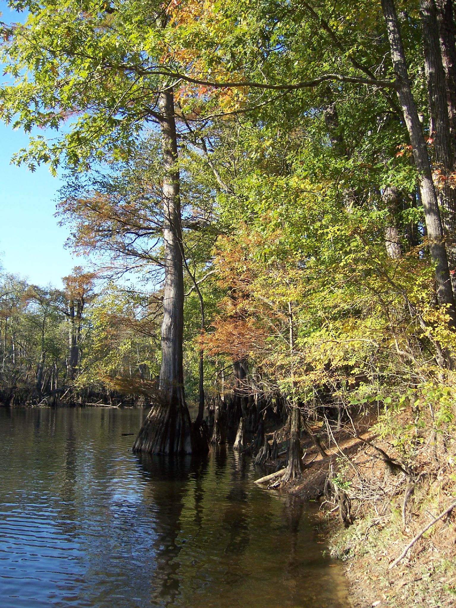
Nottoway River - Cary's Bridge Landing(1)
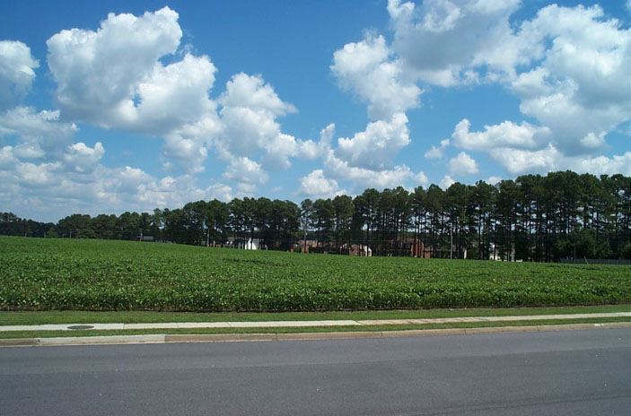
Peanut Fields
Nottoway River (9)
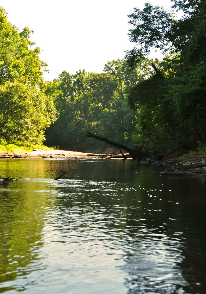
Nottoway River (11)
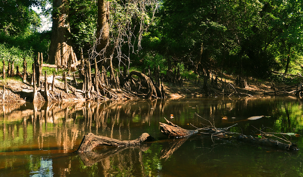
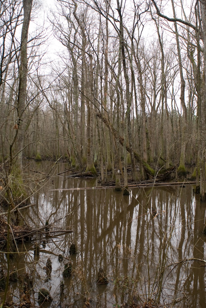
Cypress Bridge Swamp
DS2_5418-13
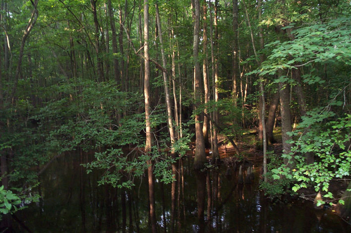
Assamoosic Swamp
Assamoosic Swamp
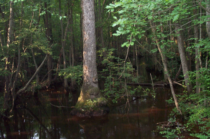
Nyssa aquatica
Topographic Map of Southampton County, VA, USA
Find elevation by address:

Places in Southampton County, VA, USA:
Berlin And Ivor
Drewryville
Newsoms
Johnsons Mill Rd, Sedley, VA, USA
Shady Brook Trail, Courtland, VA, USA
Courtland
Capron
Places near Southampton County, VA, USA:
Courtland
Capron
Newsoms
Shady Brook Trail, Courtland, VA, USA
25128 Delaware Rd
21339 Storys Station Rd
300 Robinhood Rd
Sedley
Johnsons Mill Rd, Sedley, VA, USA
Franklin, VA, USA
Sedley, VA, USA
503 South St
578 Ashton Ave
Franklin
N Main St, Franklin, VA, USA
Carver Rd, Franklin, VA, USA
Drewryville
Rivers Dam
Branchville, VA, USA
15051 Appleton Rd
Recent Searches:
- Elevation of Corso Fratelli Cairoli, 35, Macerata MC, Italy
- Elevation of Tallevast Rd, Sarasota, FL, USA
- Elevation of 4th St E, Sonoma, CA, USA
- Elevation of Black Hollow Rd, Pennsdale, PA, USA
- Elevation of Oakland Ave, Williamsport, PA, USA
- Elevation of Pedrógão Grande, Portugal
- Elevation of Klee Dr, Martinsburg, WV, USA
- Elevation of Via Roma, Pieranica CR, Italy
- Elevation of Tavkvetili Mountain, Georgia
- Elevation of Hartfords Bluff Cir, Mt Pleasant, SC, USA