Elevation of South St, Franklin, VA, USA
Location: United States > Virginia > Franklin >
Longitude: -76.922914
Latitude: 36.671586
Elevation: 9m / 30feet
Barometric Pressure: 101KPa
Elevation Map:
Satellite Map:
Related Photos:

Rebecca Vaughan House

view from inside a Nyssa aquatica

Zuni Pine Barrens

International Paper Corp. Processing Plant Reflected in the Blackwater River, Franklin, South Hampton County, VA

Peanut Fields

Cypress Bridge Swamp

Nyssa aquatica
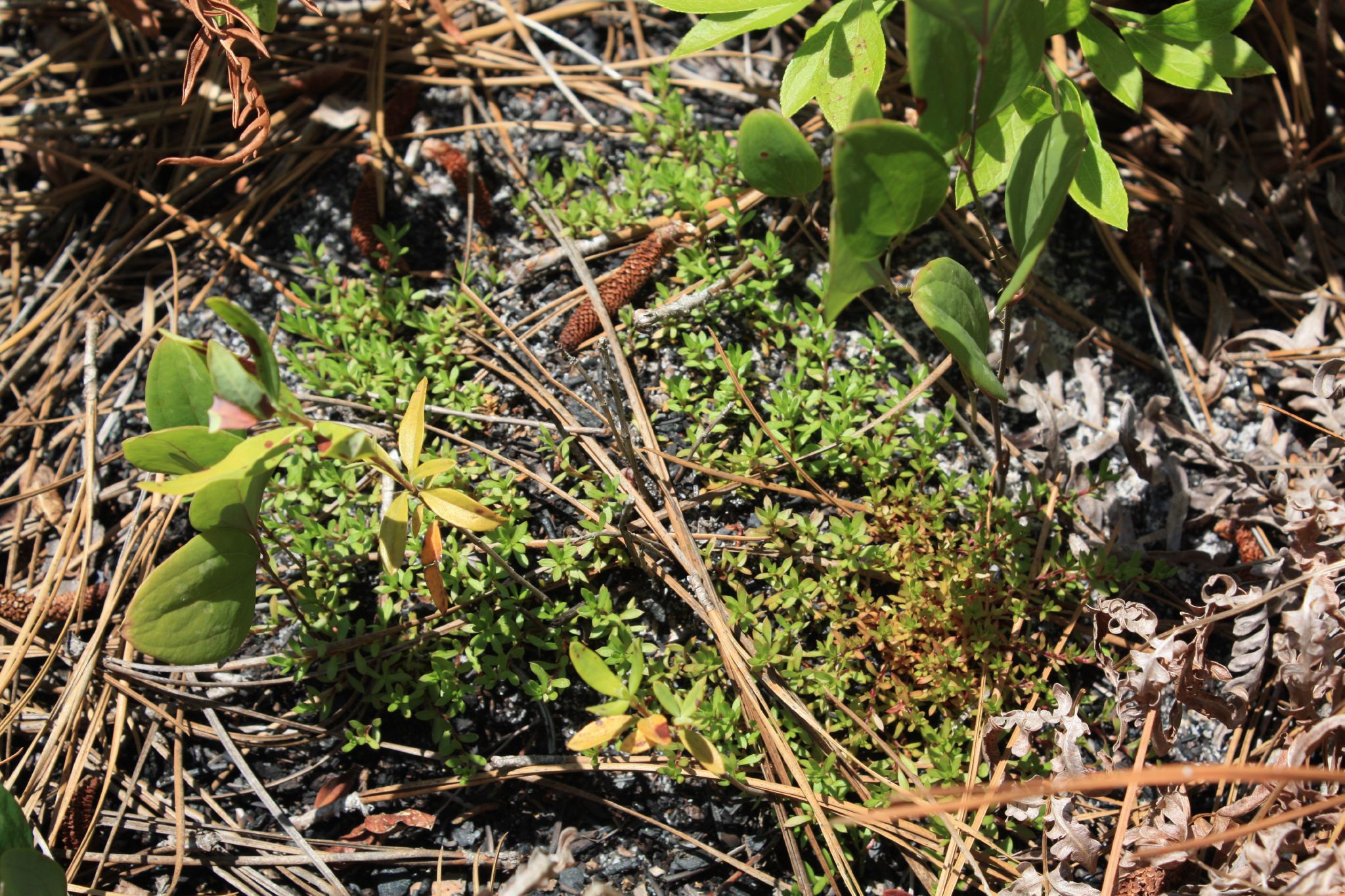
Pyxidanthera barbulata

Calopogon pallidus?

041908 river day hr 04

Blackwater River
Topographic Map of South St, Franklin, VA, USA
Find elevation by address:

Places near South St, Franklin, VA, USA:
578 Ashton Ave
Franklin
N Main St, Franklin, VA, USA
Carver Rd, Franklin, VA, USA
300 Robinhood Rd
Franklin, VA, USA
25128 Delaware Rd
Jenkins Mill Road
21339 Storys Station Rd
Elwood Rd, Suffolk, VA, USA
Carrsville
Old Carrsville Rd, Carrsville, VA, USA
7626 S Quay Rd
7795 Quaker Dr
850 Dutch Rd
Quaker Drive
133 Spivey Farm Ln
5538 Mineral Spring Rd
5062 Mineral Spring Rd
5000 Mineral Spring Rd
Recent Searches:
- Elevation of Congressional Dr, Stevensville, MD, USA
- Elevation of Bellview Rd, McLean, VA, USA
- Elevation of Stage Island Rd, Chatham, MA, USA
- Elevation of Shibuya Scramble Crossing, 21 Udagawacho, Shibuya City, Tokyo -, Japan
- Elevation of Jadagoniai, Kaunas District Municipality, Lithuania
- Elevation of Pagonija rock, Kranto 7-oji g. 8"N, Kaunas, Lithuania
- Elevation of Co Rd 87, Jamestown, CO, USA
- Elevation of Tenjo, Cundinamarca, Colombia
- Elevation of Côte-des-Neiges, Montreal, QC H4A 3J6, Canada
- Elevation of Bobcat Dr, Helena, MT, USA