Elevation of Branchville, VA, USA
Location: United States > Virginia >
Longitude: -77.309467
Latitude: 36.5951827
Elevation: 30m / 98feet
Barometric Pressure: 101KPa
Elevation Map:
Satellite Map:
Related Photos:

Little Texas Country Store - Roof
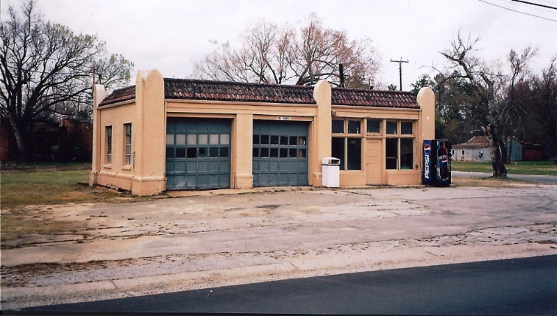
Virginia, Branchville, (former) Esso Gas Station (9,021)
Opposite directions
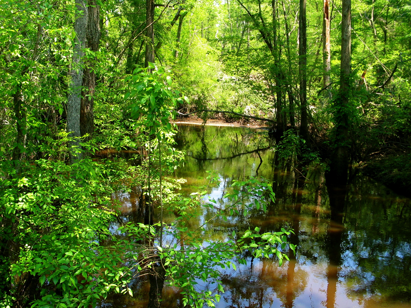
Swamp (Southampton County VA)
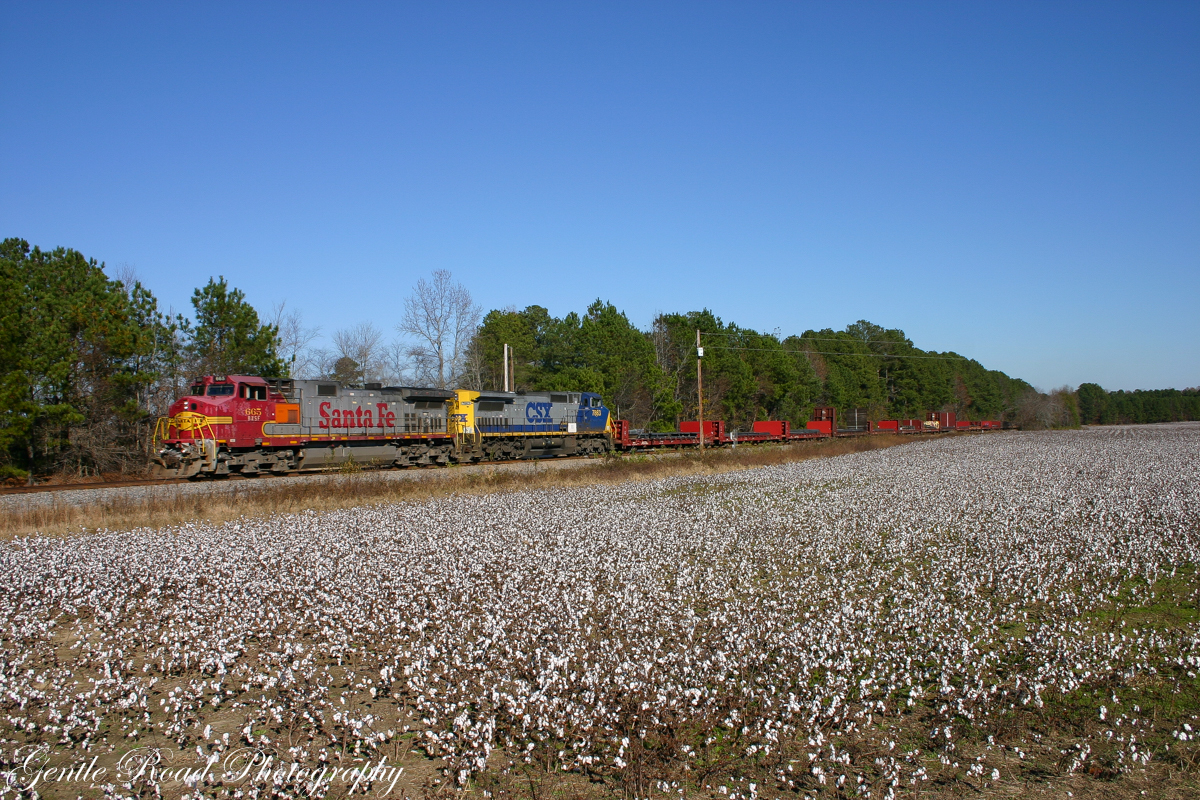
Cotton time in the coastal plain.

G&W Road Slug
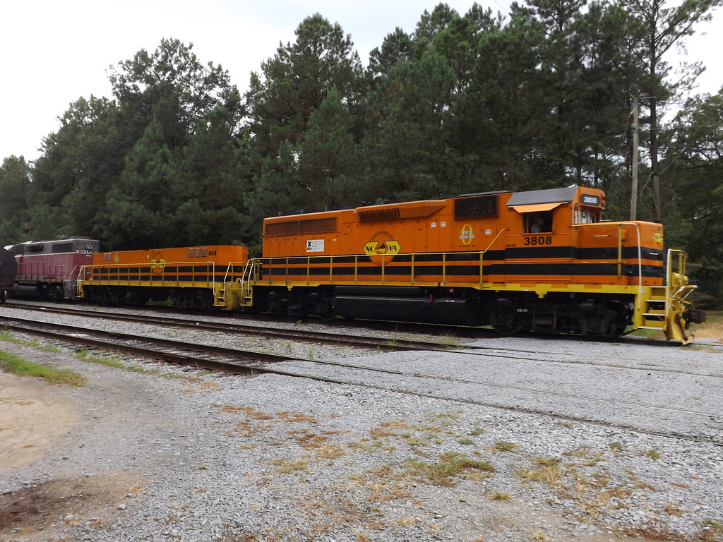
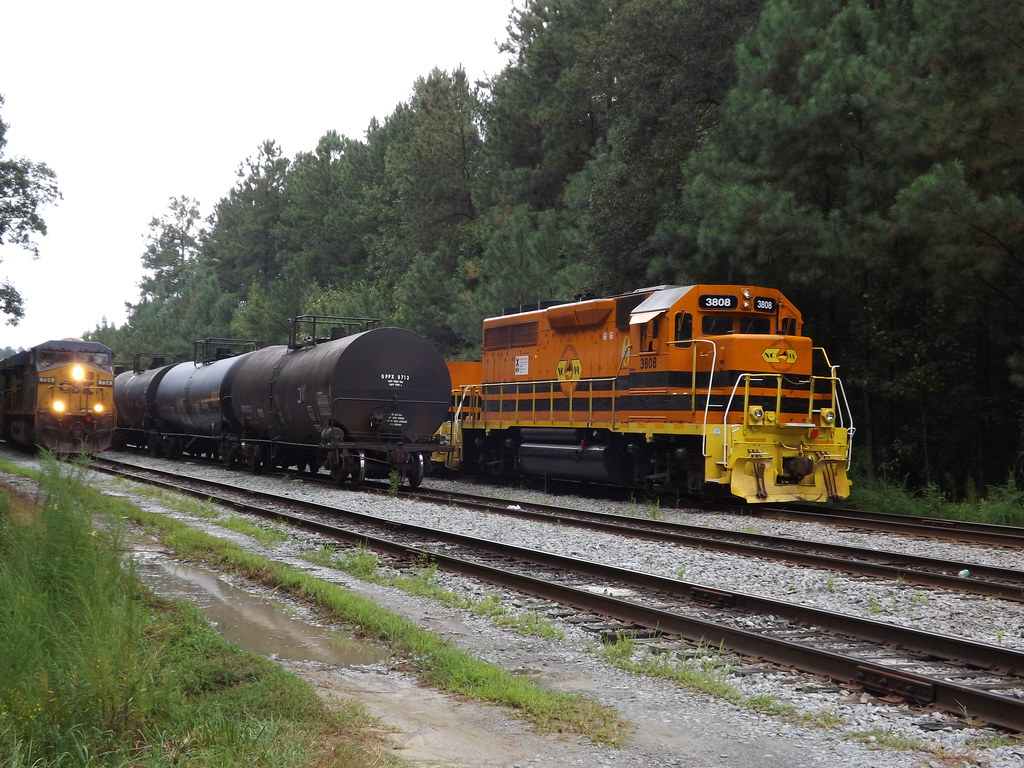
NCVA switching CSX interchange yard
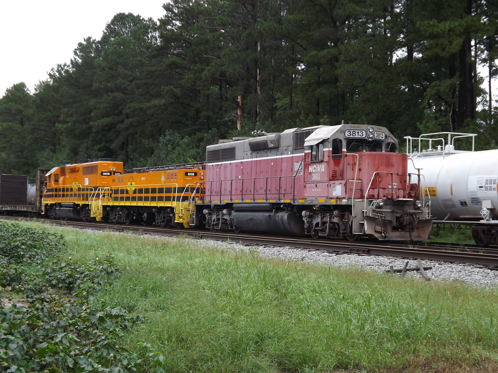
North Carolina Virginia RR

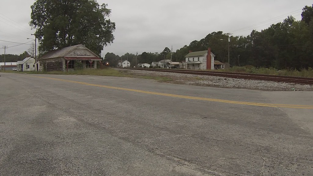
Very abandoned store 1of3
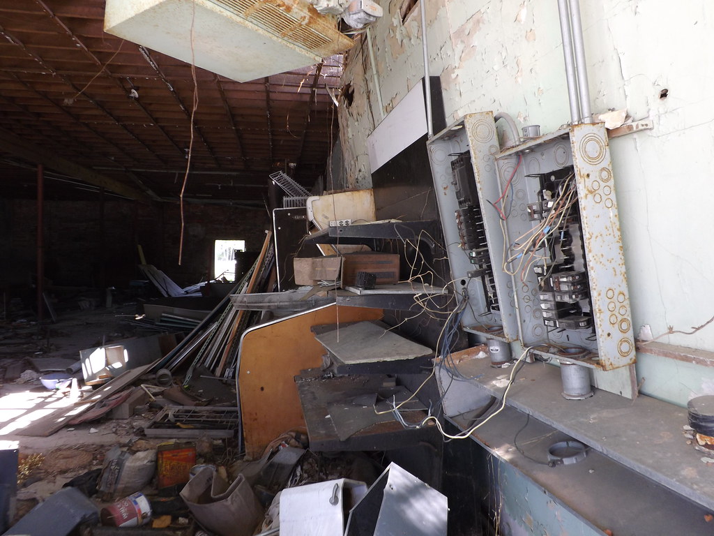
Very abandoned store 2of3
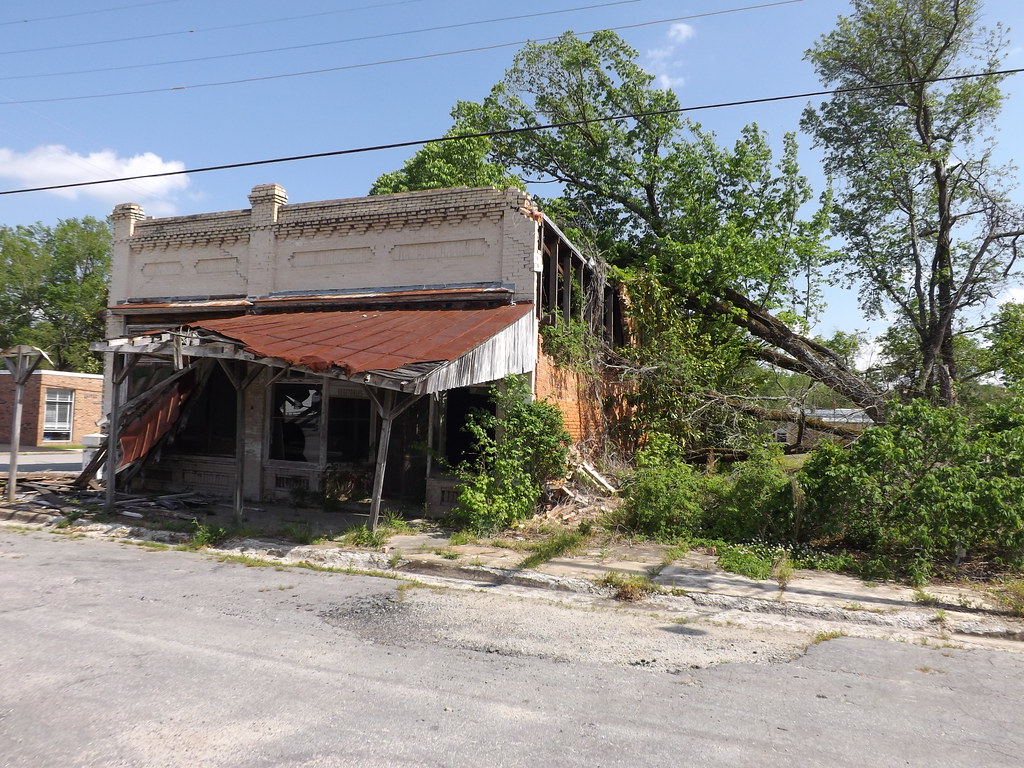
Very abandoned store 3of3
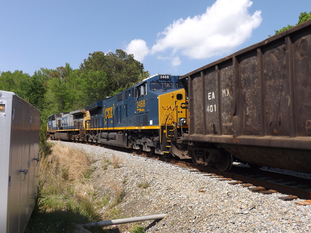
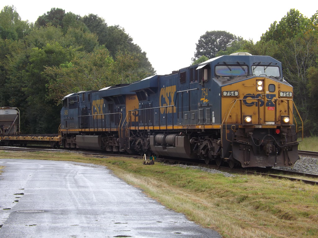
F774 headed for Rocky Mount

Been here a while???
Double Duty
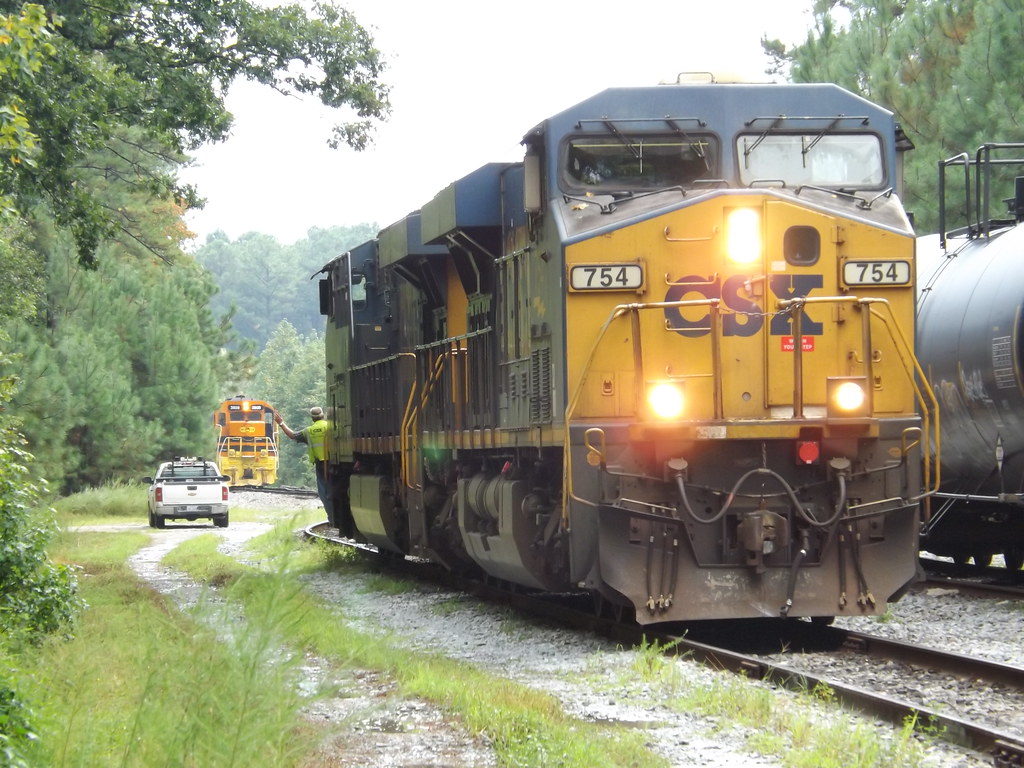
Video of CSX F774 with distractions
Video of CSX 774
CSX 774 in Branchville, Va.

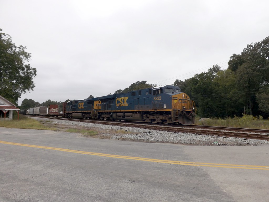
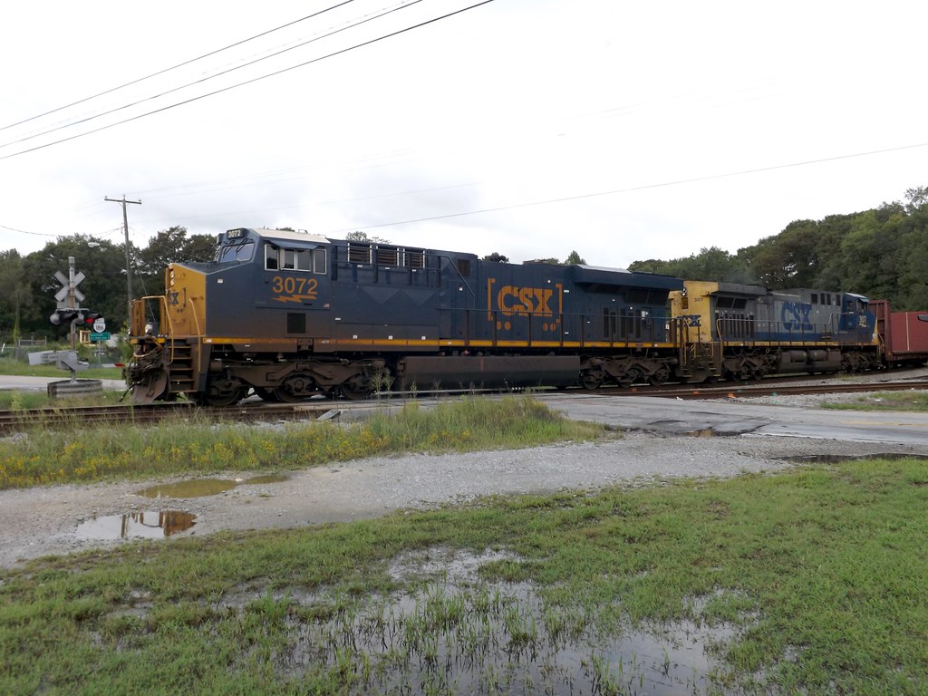
F774 lead by 3072
F774 On the west leg of the wye
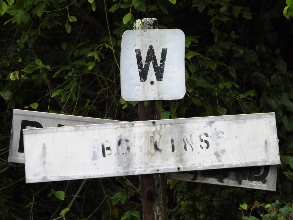
CSX backs in to Boykins
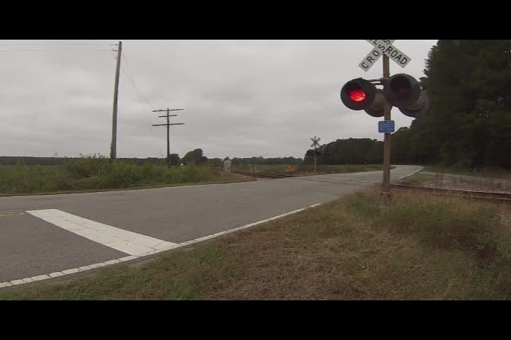
CSX approaching NCVA
Searching for Nat Turner

The Light

Silent Music
Topographic Map of Branchville, VA, USA
Find elevation by address:

Places near Branchville, VA, USA:
Drewryville
Drewryville
Rivers Dam
Southampton County
Capron
Yale
Courtland
Newsoms
Courthouse
Shady Brook Trail, Courtland, VA, USA
Sussex County
Sussex
Sussex Central High School
25128 Delaware Rd
State Rte, Waverly, VA, USA
21339 Storys Station Rd
300 Robinhood Rd
Sedley, VA, USA
Franklin, VA, USA
Sedley
Recent Searches:
- Elevation of 7 Waterfall Way, Tomball, TX, USA
- Elevation of SW 57th Ave, Portland, OR, USA
- Elevation of Crocker Dr, Vacaville, CA, USA
- Elevation of Pu Ngaol Community Meeting Hall, HWHM+3X7, Krong Saen Monourom, Cambodia
- Elevation of Royal Ontario Museum, Queens Park, Toronto, ON M5S 2C6, Canada
- Elevation of Groblershoop, South Africa
- Elevation of Power Generation Enterprises | Industrial Diesel Generators, Oak Ave, Canyon Country, CA, USA
- Elevation of Chesaw Rd, Oroville, WA, USA
- Elevation of N, Mt Pleasant, UT, USA
- Elevation of 6 Rue Jules Ferry, Beausoleil, France