Elevation of South Valley Road, S Valley Rd, Naselle, WA, USA
Location: United States > Washington > Pacific County > Naselle >

Longitude: -123.79547

Latitude: 46.3656843

Elevation: 24m / 79feet

Barometric Pressure: 101KPa

Elevation Map:

elevation map of South Valley Road, S Valley Rd, Naselle, WA, USA
Satellite Map:

Satellite map of South Valley Road, S Valley Rd, Naselle, WA, USA
Related Photos:

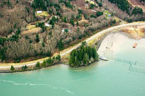
altoona wa lower columbia river abandoned piling boiler
_DSC5894 (4) N.W. View
oregoncoast astoria 2017 longbeachpeninsula longbeach columbiariver hwy101 astoriameglerbridge astoriacolumn oregon astoriamegler pnw anniversary washingtonstate oneyearanniversary chinook washington unitedstates us
Astoria Twilight
washington marine aerial pugetsound coastalwaters letstalkscience marinemonitoring eyesoverpugetsound pugetsoundconditions
Eyes Over Puget Sound Feb. 2016
washington marine aerial pugetsound coastalwaters letstalkscience marinemonitoring eyesoverpugetsound pugetsoundconditions
Eyes Over Puget Sound Feb. 2016
washington handheld hdr coastranges rvpark riversendcampground
River's End RV Park, WA
abandoned aged ambientlight availablelight batterymurphy color daylight daytime derelict deserted fortcolumbia historic military neglected nikkorlense nikon nikond7000 olympicpeninsula outdoors parksandrecreation rain rainyday statepark urban washington wet chinook unitedstates 98614
Battery Murphy
chinook washington unitedstates
Some views of the Astoria Bridge
chinook washington unitedstates
Some views of the Astoria Bridge
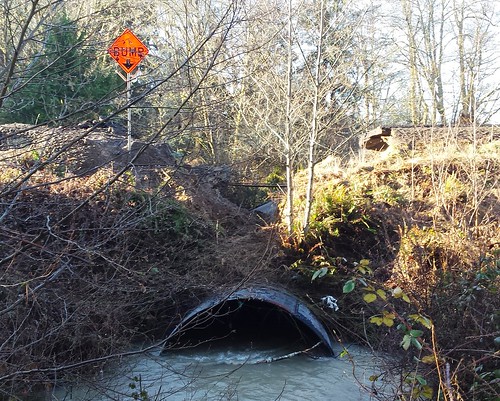
flooding 4 sr th culvert
SR 4 Culvert Rehabilitation
chinook washington unitedstates
Some views of the Astoria Bridge
chinook washington unitedstates
Some views of the Astoria Bridge
altoona wa lower columbia river abandoned piling boiler
_DSC5912 (2) S.W. View
astoria 2017 longbeachpeninsula longbeach astoriameglerbridge bridge columbiariver astoriamegler pnw anniversary washingtonstate oneyearanniversary chinook washington unitedstates us
Astoria-Megler Glow
"in full view"
geotagged geo:lat=46256 geo:lon=123852 geo:dir=3171
20841.jpg
ocean trees sea usa nature field grass landscape pacific longbeach washingtonstate nikond700 oceanbeachhighway ilobsterit
TO THE SEA
geotagged geo:lat=46245 geo:lon=123901166666667 geo:dir=147
16644.jpg
geotagged geo:dir=3236 geo:lon=1238695 geo:lat=46244
20833.jpg
geotagged geo:lon=123967166666667 geo:lat=46428 geo:dir=1127
19722.jpg
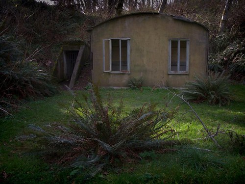
river washington fort columbia powershot g9
Abandoned Hut With Ferns
geotagged geo:lat=46242 geo:lon=123881833333333 geo:dir=82
16649.jpg
hdr color photomatixpro dxophotolab2 columbiariver fortcolumbiastatepark landscape picturesque countryside
Columbia River HDR
hdr blackandwhite bw monochrome photomatixpro dxophotolab2 landscape columbiariver washington oregon river astoria fortcolumbiastatepark
Monochrome Columbia River
hdr bw monochrome blackandwhite sign fortcolumbiastatepark washington placename trees landscape chinookpoint
Old Fort Columbia B/W
hdr military historical fortcolumbiastatepark washington battery artillery landscape fort history
Columbia River Defense
hdr landscape pacificocean columbiariver mouth picturesque fortcolumbiastatepark photomatixpro6 dxo waterway highlights shadows tones
Mouth of the Columbia
trees blackandwhite usa monochrome forest river spring woods unitedstates northwest estuary pacificnorthwest northamerica willapa
Early Spring Forest, Willapa Bay, Washington, 2014
washington fortcolumbiastatepark can150 trompelœil
Trompe-l'œil
blackandwhite usa monochrome barn rural landscape washington unitedstates northwest farm farming pacificnorthwest northamerica rosburg wahkiakumcounty
Old Barn, Rosburg, Washington, 2014
washington fortcolumbiastatepark astoriameglerbridge can150
that bridge
hdr armypost fortcolumbia statepark washington defense chinookpoint highlights shadows color landscape sign entrance
Fort Columbia
washington fortcolumbiastatepark astoriacolumn can150
Astoria and the Column
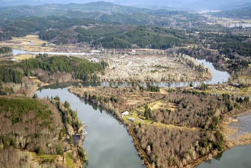
oregon aerial estuary wetlands oregoncoast imagery estuaries kingtides oregonwinterhightides
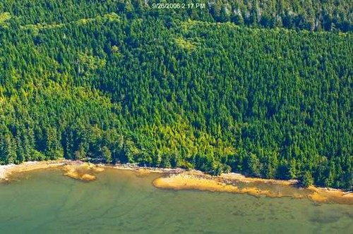
Grays River
oregon aerial estuary wetlands oregoncoast imagery estuaries kingtides oregonwinterhightides
Grays River
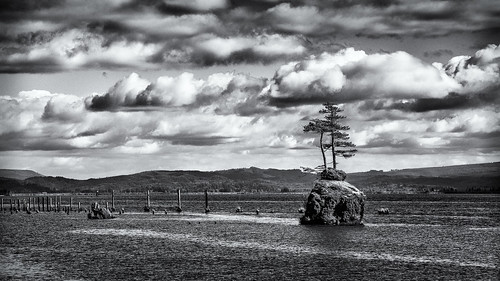
rock altoona wahkikumcounty landscape monochrome washington pilings blackandwhite marine columbiariver
Small Private Island
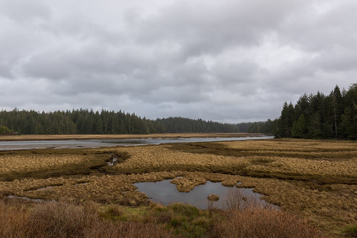
landscape nikon pacificnorthwest tamron pacificcounty d810 willipabay ryderphotographic tamronsp240700mmf28divcusd howardryder willipanationalwildliferefuge
on the delta
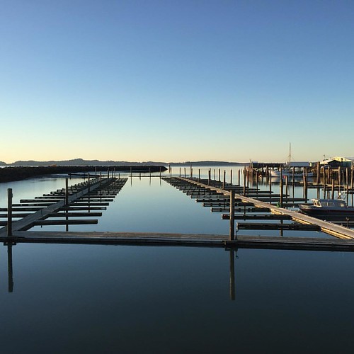
square squareformat iphoneography instagramapp uploaded:by=instagram
Grateful for moments like these #dock #port #pnwonderland #pnwnatives #pnwcollective #pnw #washington #chinook #boats #columbiariver #grateful #peaceful
Roll on Columbia
usa abstract concrete washington unitedstates northwest pacificnorthwest northamerica beast fortcolumbia
The Beast
usa water river landscape coast washington ship unitedstates northwest shipwreck columbiariver pacificnorthwest northamerica coastline hydrofoil plainview ussplainview ageh1
Shipwreck of the USS Plainview, Columbia River, Washington, 2014