Elevation of S Valley Rd, Naselle, WA, USA
Location: United States > Washington > Pacific County > Naselle >
Longitude: -123.79890
Latitude: 46.3667635
Elevation: 17m / 56feet
Barometric Pressure: 101KPa
Elevation Map:
Satellite Map:
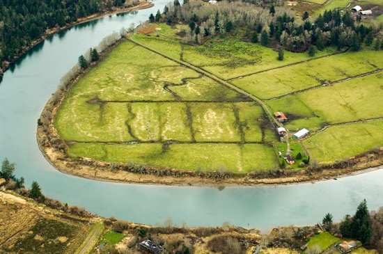
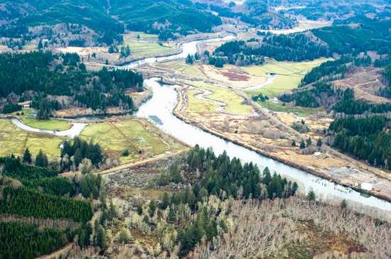
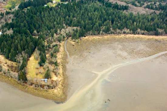
Related Photos:

19586.jpg

17989.jpg

20958.jpg

19603.jpg

20899.jpg

20973.jpg

18118.jpg

View on 101
21000.jpg

20939.jpg
20918.jpg

19556.jpg

20949.jpg

20911.jpg

20914.jpg

20955.jpg

River's End RV Park, WA

20971.jpg

19512.jpg

20916.jpg
20964.jpg

Trees on a Rock Island, Columbia River, Washington, 2014

20948.jpg

North Head Lighthouse

PIX-IMG_6957HDTV-Test-g

Small Private Island

Long Island Slough, Pacific County, Washington, Winter 2017

Astoria from Washington.

Shipwreck of the USS Plainview, Columbia River, Washington, 2014

Early Spring Forest, Willapa Bay, Washington, 2014

Old Barn, Rosburg, Washington, 2014

Astoria Megler Bridge

Grateful for moments like these #dock #port #pnwonderland #pnwnatives #pnwcollective #pnw #washington #chinook #boats #columbiariver #grateful #peaceful

Mt. Dog (43)

Fort Columbia State Park

20960.jpg

20930.jpg

Slough, Government Road, Pacific County, Washington, Winter 2017

17887.jpg

Early Spring Forest, Willapa Bay, Washington, 2014
Topographic Map of S Valley Rd, Naselle, WA, USA
Find elevation by address:

Places near S Valley Rd, Naselle, WA, USA:
South Valley Road
South Valley Road
Naselle
9 S Valley Rd
7 S Valley Rd
15 Ullakko Rd
US-, Chinook, WA, USA
Chinook
30 Cherry St
258 Stringtown Rd
67th Place
67th Place
3711 Pioneer Rd
1705 Us-101
3100 32 Pl
410 Mary Ann Ave Ne
716 Cedar St Ne
311 Elizabeth Ave Ne
406 Cedar St Ne
2008 Sid Snyder Dr
Recent Searches:
- Elevation of W Granada St, Tampa, FL, USA
- Elevation of Pykes Down, Ivybridge PL21 0BY, UK
- Elevation of Jalan Senandin, Lutong, Miri, Sarawak, Malaysia
- Elevation of Bilohirs'k
- Elevation of 30 Oak Lawn Dr, Barkhamsted, CT, USA
- Elevation of Luther Road, Luther Rd, Auburn, CA, USA
- Elevation of Unnamed Road, Respublika Severnaya Osetiya — Alaniya, Russia
- Elevation of Verkhny Fiagdon, North Ossetia–Alania Republic, Russia
- Elevation of F. Viola Hiway, San Rafael, Bulacan, Philippines
- Elevation of Herbage Dr, Gulfport, MS, USA