Elevation of Pacific County, WA, USA
Location: United States > Washington >
Longitude: -123.82645
Latitude: 46.5180824
Elevation: 176m / 577feet
Barometric Pressure: 99KPa
Elevation Map:
Satellite Map:
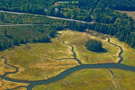
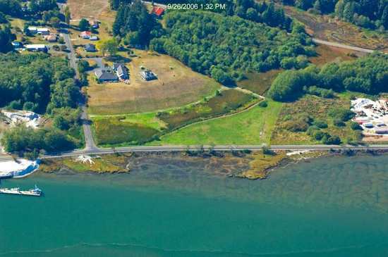
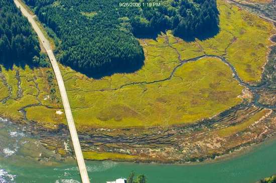
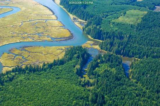
Related Photos:

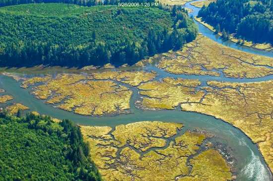
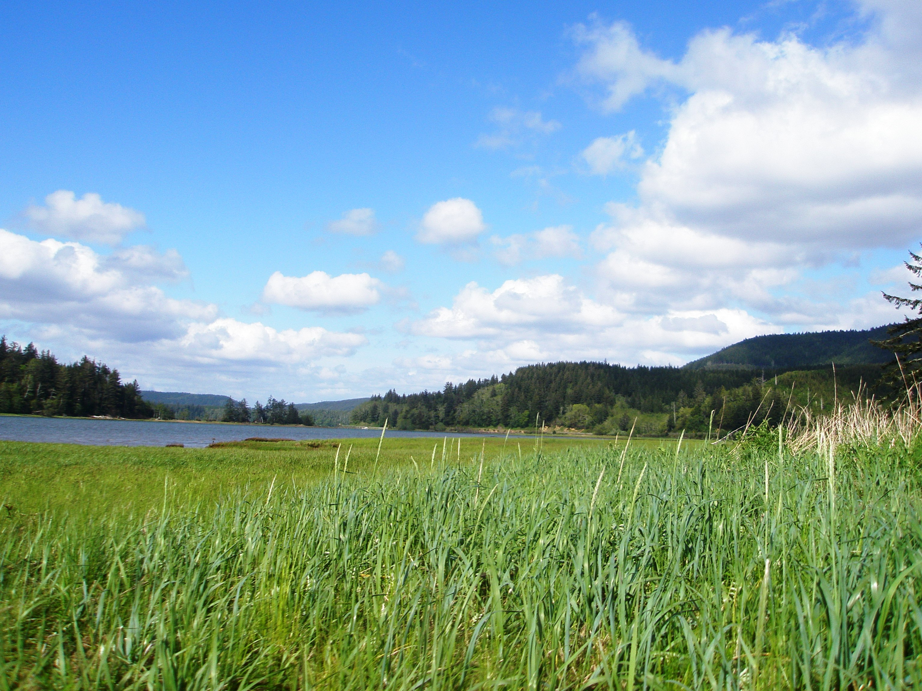
Sea View
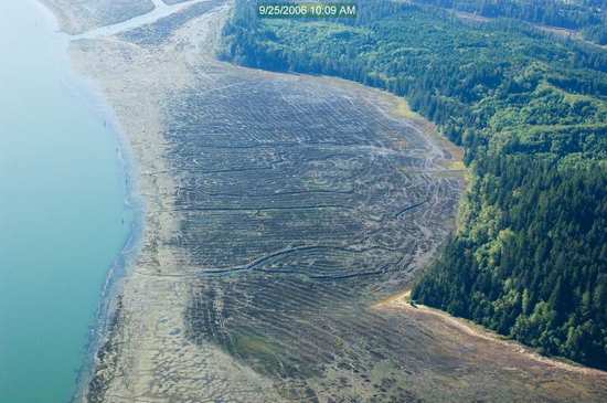
19299.jpg
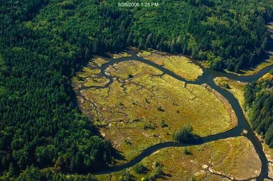
19246.jpg
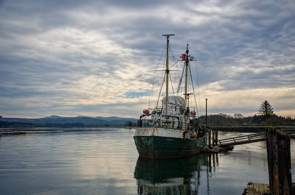
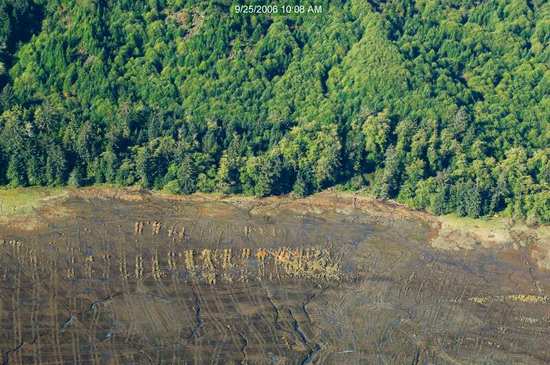
R/V Hero, Bay Center WA
19323.jpg
19366.jpg
19387.jpg
19287.jpg
19325.jpg
19328.jpg
18106.jpg
19321.jpg
18102.jpg
19322.jpg
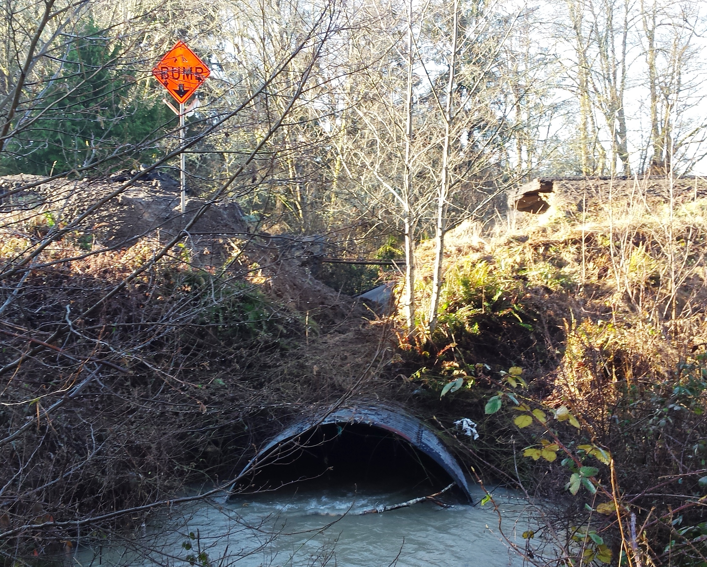
SR 4 Culvert Rehabilitation
19324.jpg
18103.jpg
Pacific County Courthouse
Pacific County Courthouse
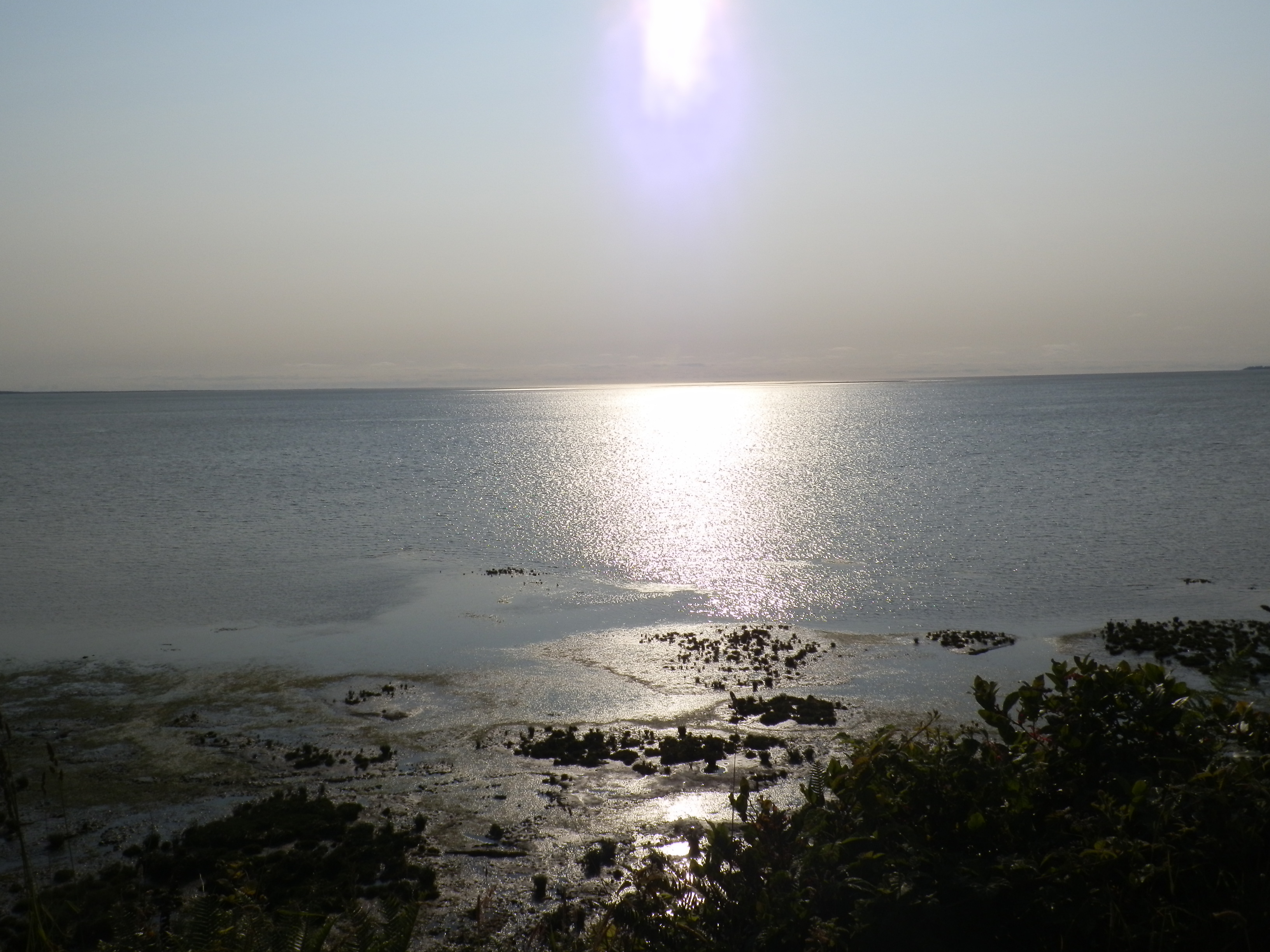
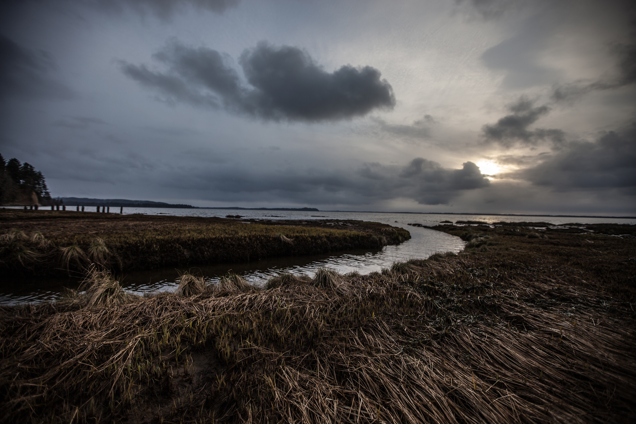
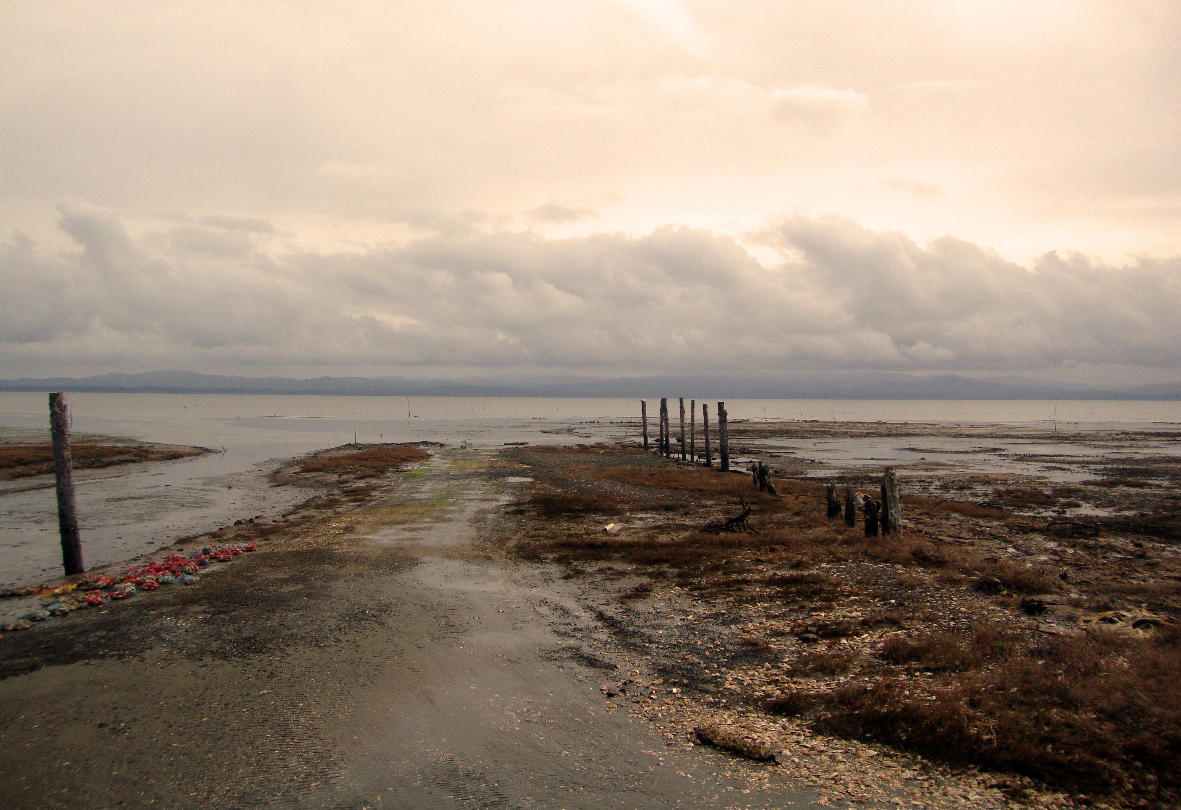
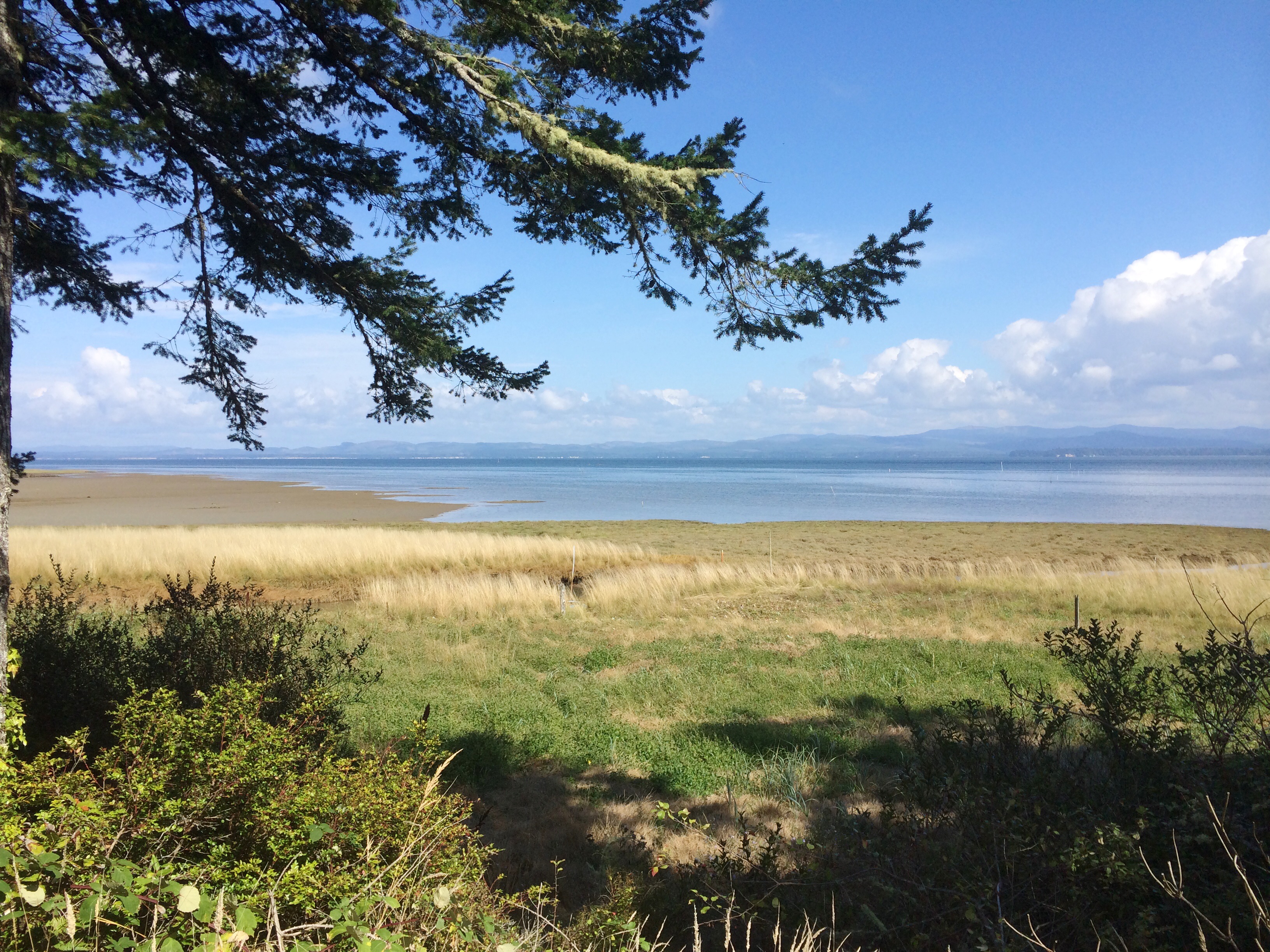
View across Willapa Bay from Nahcotta Tidelands
Eyes Over Puget Sound Feb. 2016
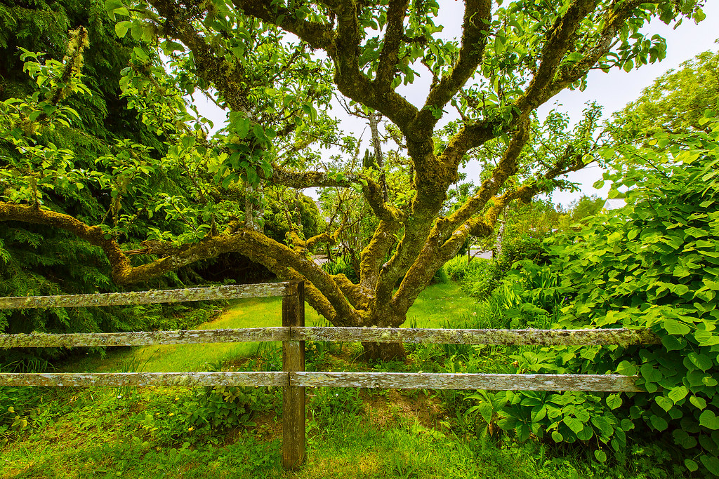
Apple Tree
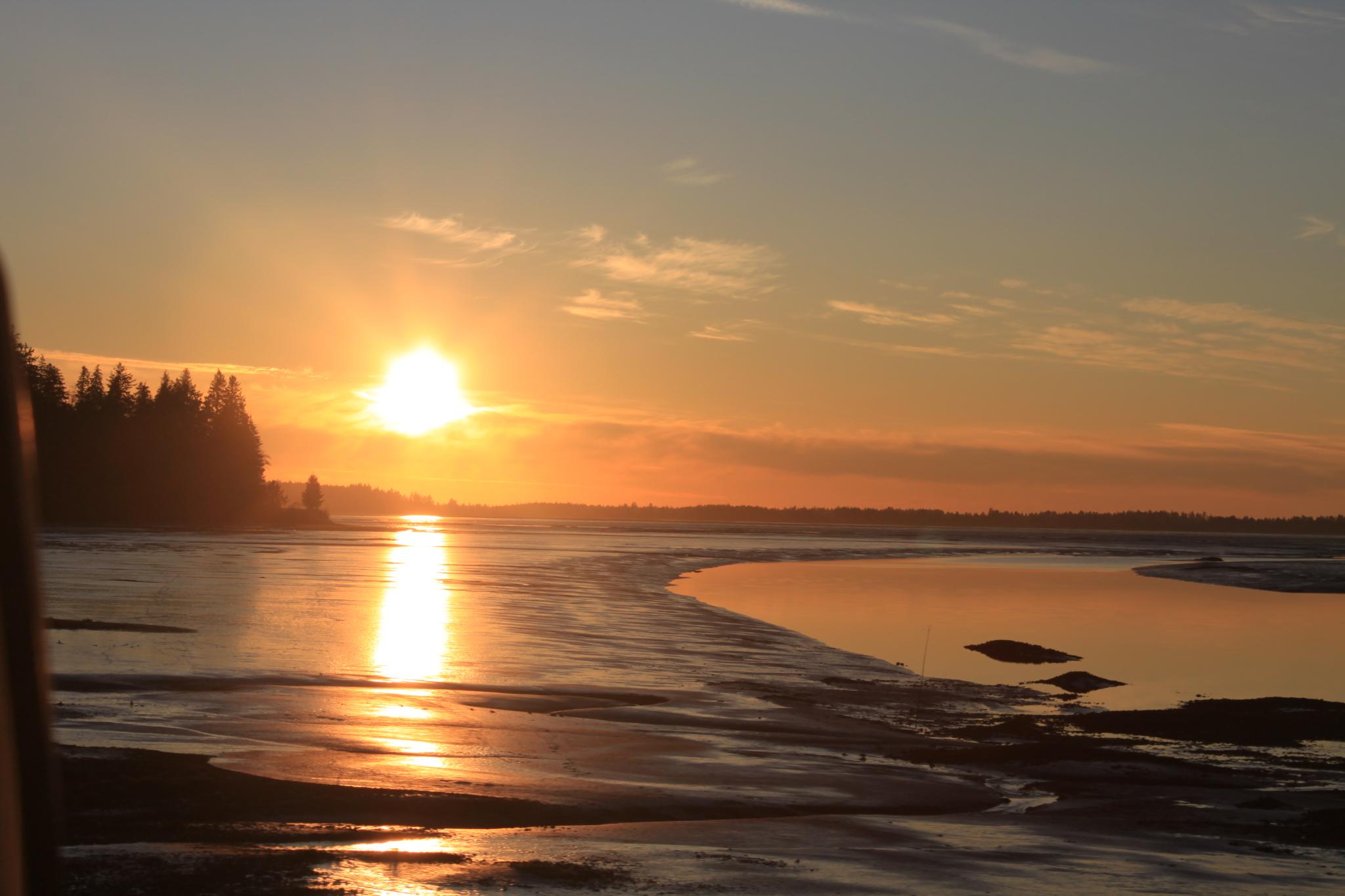
Sunbeam Over the Ocean
South Bend, WA
PIX-IMG_6957HDTV-Test-g
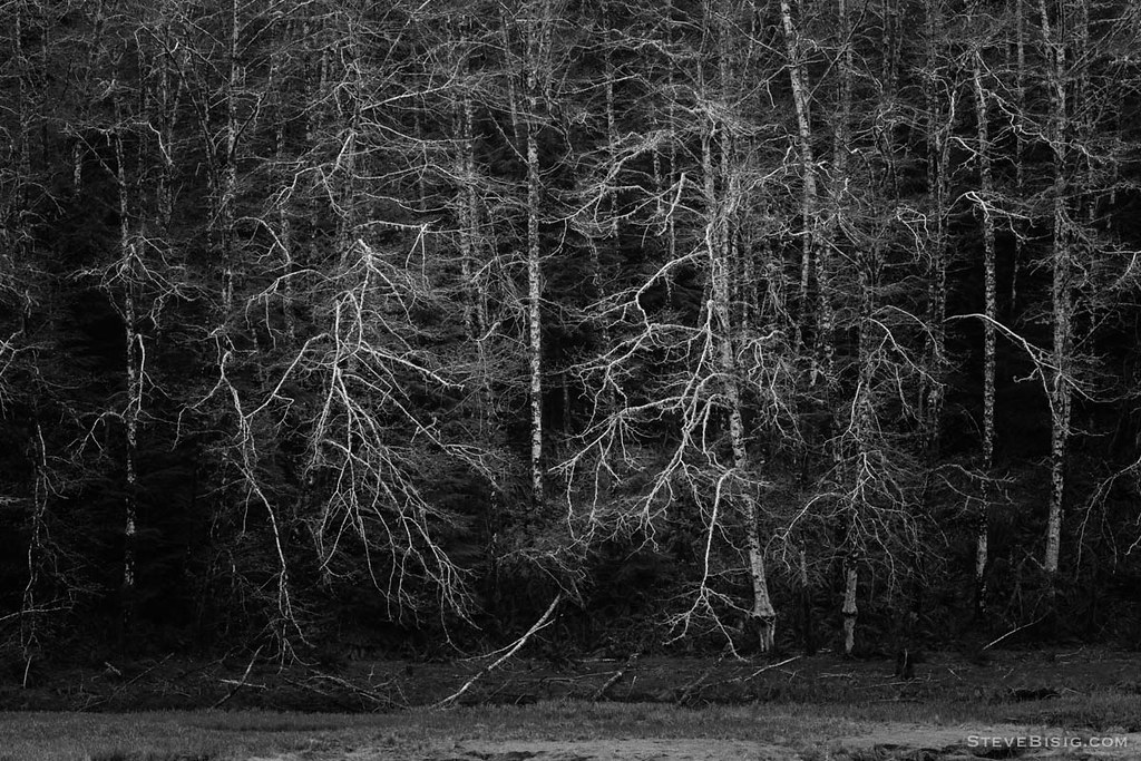
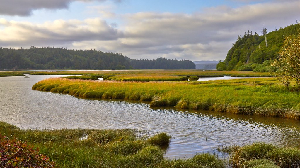
Early Spring Forest, Willapa Bay, Washington, 2014
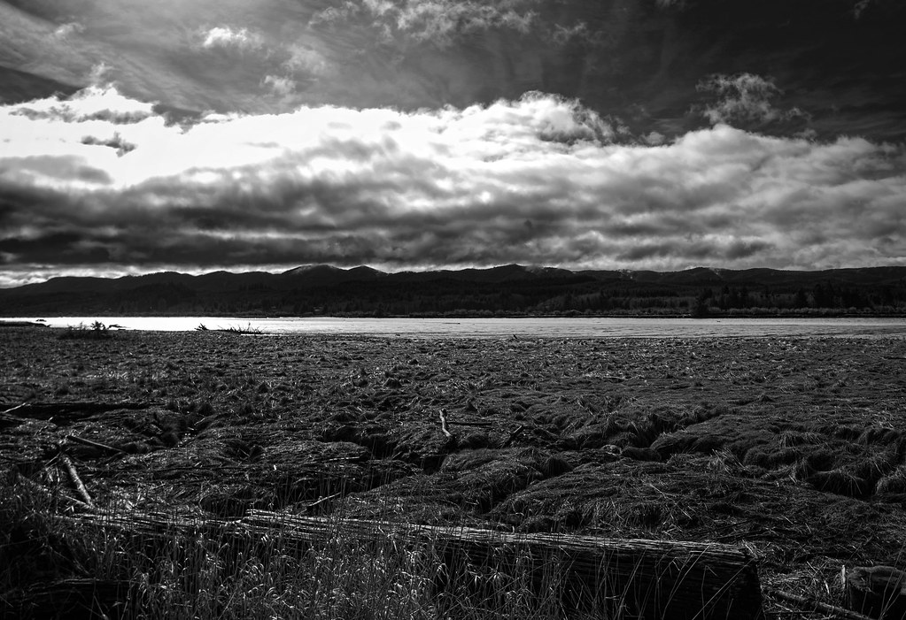
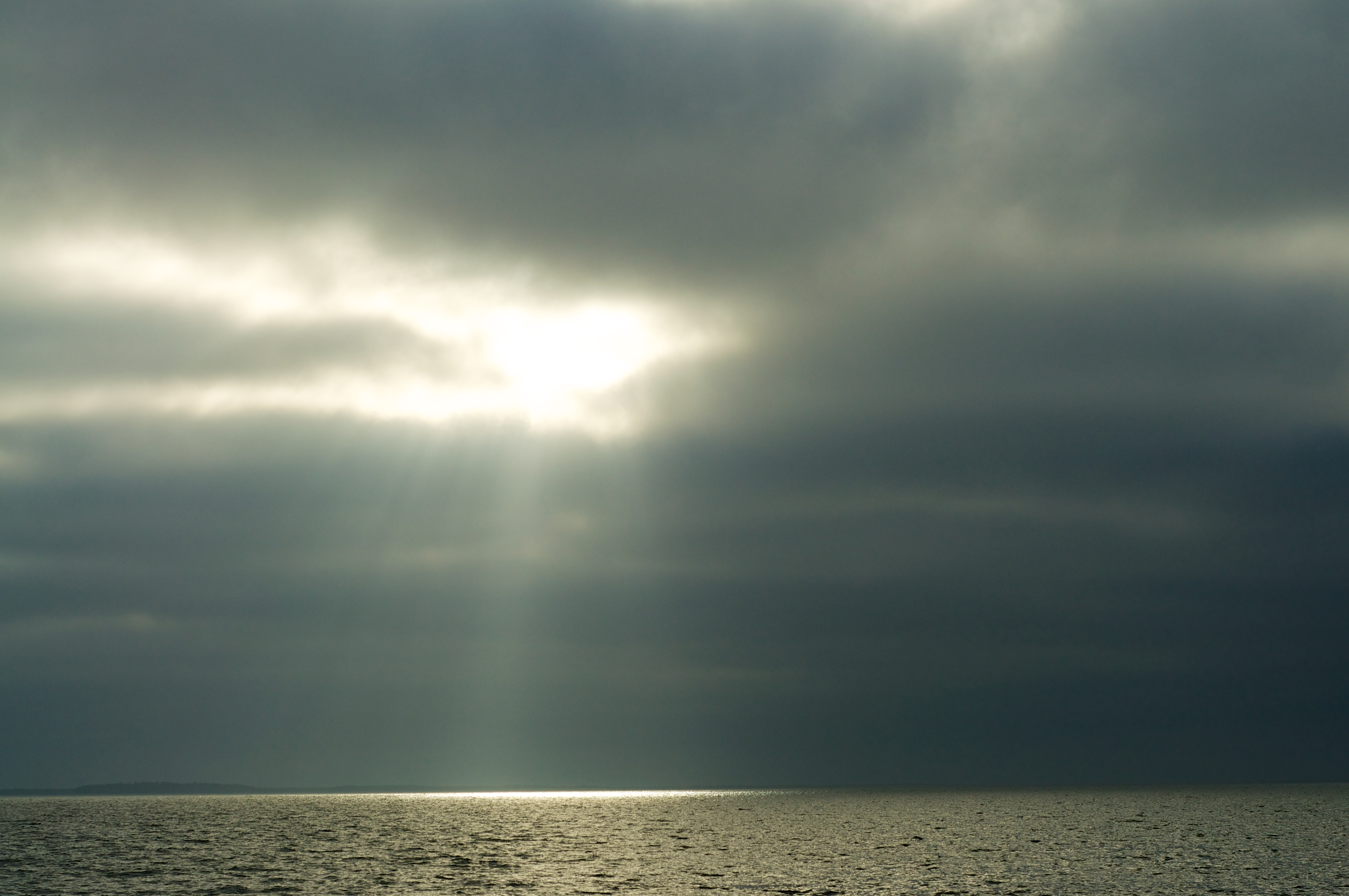
Storm Coming, Naselle WA

Olympic National Park (6)
California Bike Tour Day 07-02 - Andy Solo.jpg
2013.03.16-17 - Pacific Coast
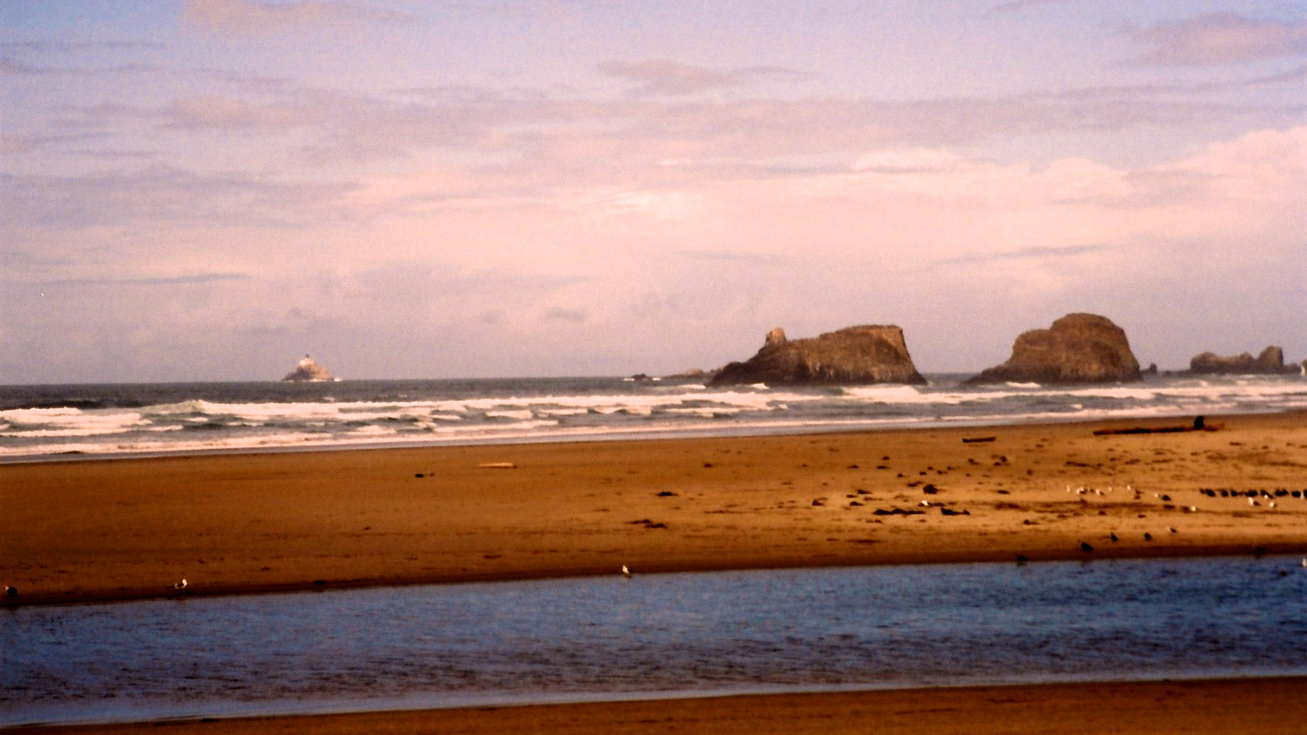
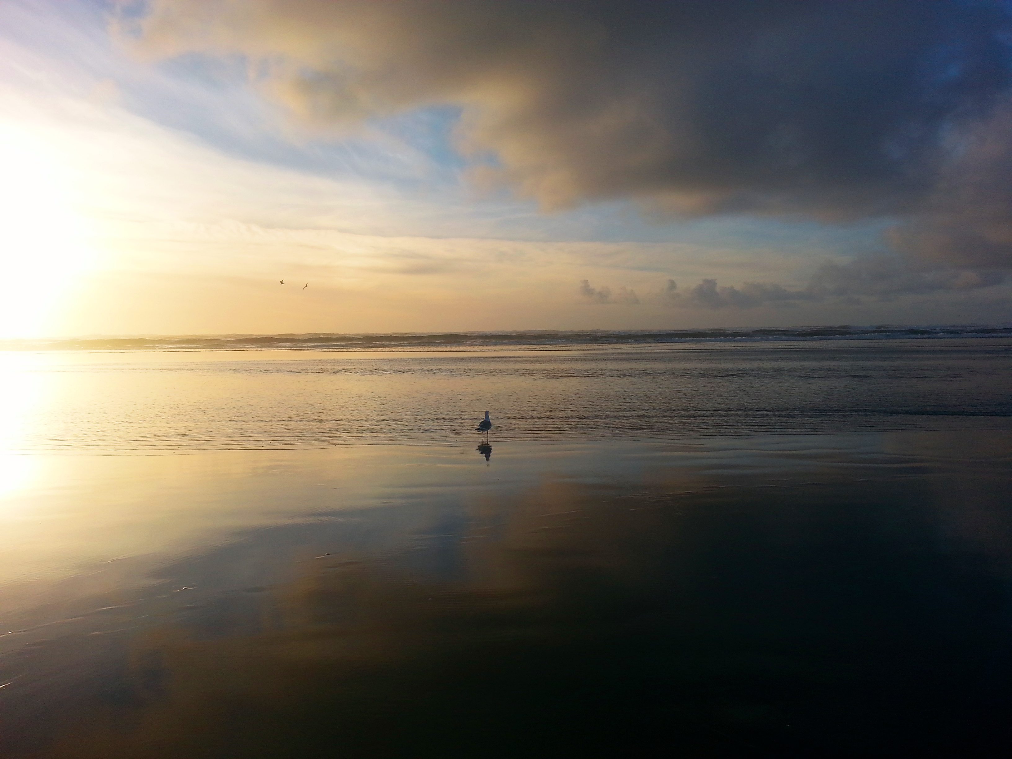
Sunset on Washington coast #2

20130630-036
End of the Road
DSC_4305_6_7.jpg
Sunset at Long Beach Washington
coastal riding

Olympic National Park (5)
DSC_4300.jpg
Labor Day 2014
Topographic Map of Pacific County, WA, USA
Find elevation by address:

Places in Pacific County, WA, USA:
Ocean Park
South Bend
Raymond
Long Beach
Ilwaco
Naselle
Oysterville
1st Ave N, Ilwaco, WA, USA
Kindred Ave, Tokeland, WA, USA
US-, Chinook, WA, USA
Seaview
Toke Point
Sutico
Chinook
Bay Center
Places near Pacific County, WA, USA:
N Nemah Rd E, South Bend, WA, USA
95 Williams Creek Rd
US-, Naselle, WA, USA
30 Willapa Sands Lane
3505 296th St
32480 Sandridge Rd
33302 Territory Rd
Oysterville
31203 Sandridge Rd
32704 Douglas Dr
33310 Douglas Dr
Douglas Drive
Sandridge Rd, Ocean Park, WA, USA
Espy Lane
2800 Oysterville Rd
22308 Sandridge Rd
3261 242nd Ln
21801 Sandridge Rd
21801 Sandridge Rd
2406 300th Pl
Recent Searches:
- Elevation of Corso Fratelli Cairoli, 35, Macerata MC, Italy
- Elevation of Tallevast Rd, Sarasota, FL, USA
- Elevation of 4th St E, Sonoma, CA, USA
- Elevation of Black Hollow Rd, Pennsdale, PA, USA
- Elevation of Oakland Ave, Williamsport, PA, USA
- Elevation of Pedrógão Grande, Portugal
- Elevation of Klee Dr, Martinsburg, WV, USA
- Elevation of Via Roma, Pieranica CR, Italy
- Elevation of Tavkvetili Mountain, Georgia
- Elevation of Hartfords Bluff Cir, Mt Pleasant, SC, USA