Elevation of Territory Rd, Oysterville, WA, USA
Location: United States > Washington > Pacific County > Oysterville >
Longitude: -124.02784
Latitude: 46.542831
Elevation: 3m / 10feet
Barometric Pressure: 101KPa
Elevation Map:
Satellite Map:
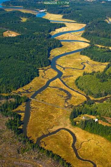
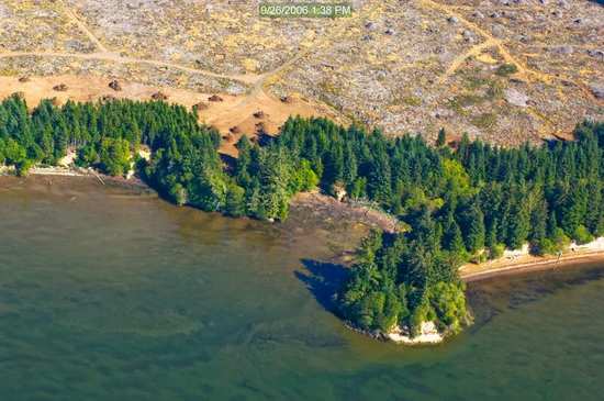
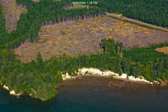
Related Photos:
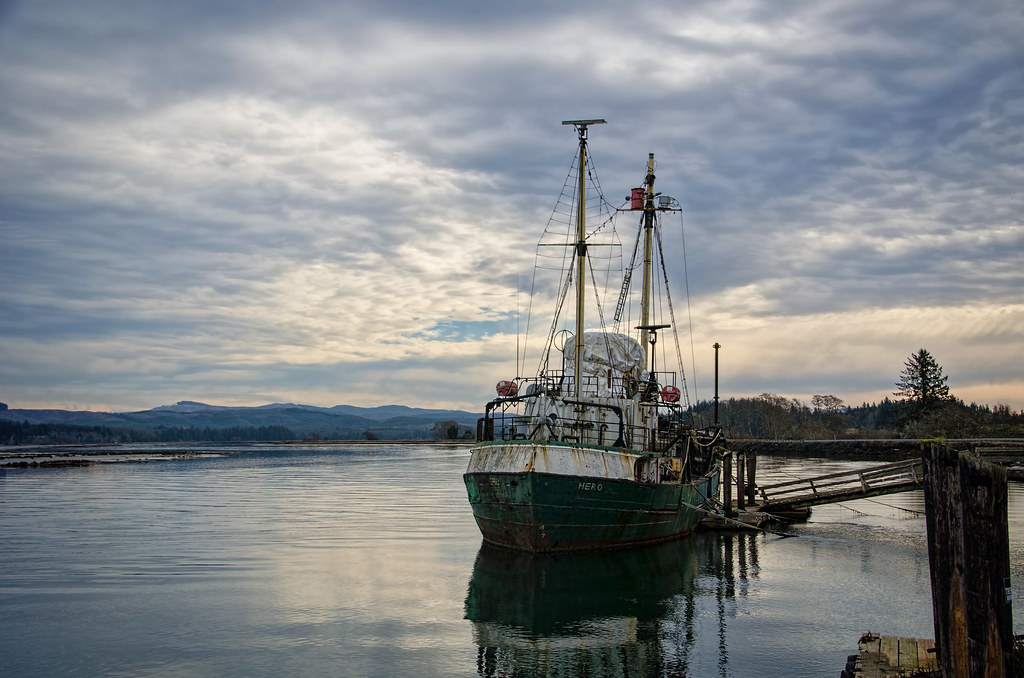
R/V Hero, Bay Center WA
19550.jpg
18266.jpg
19353.jpg
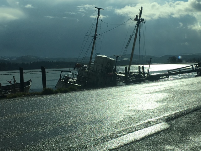
View of vessel from Dike Road
19737.jpg
19242.jpg
19444.jpg
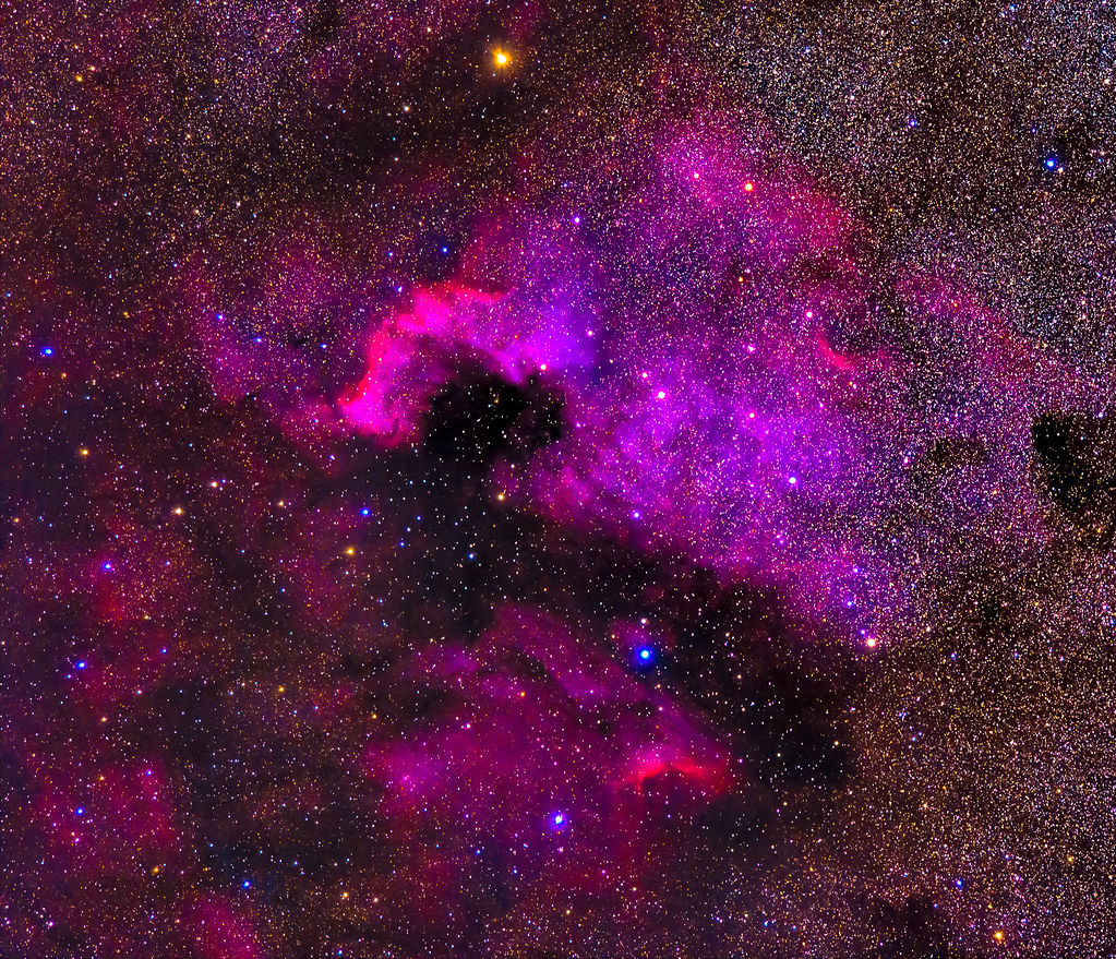
NGC7000 - The North American Nebula
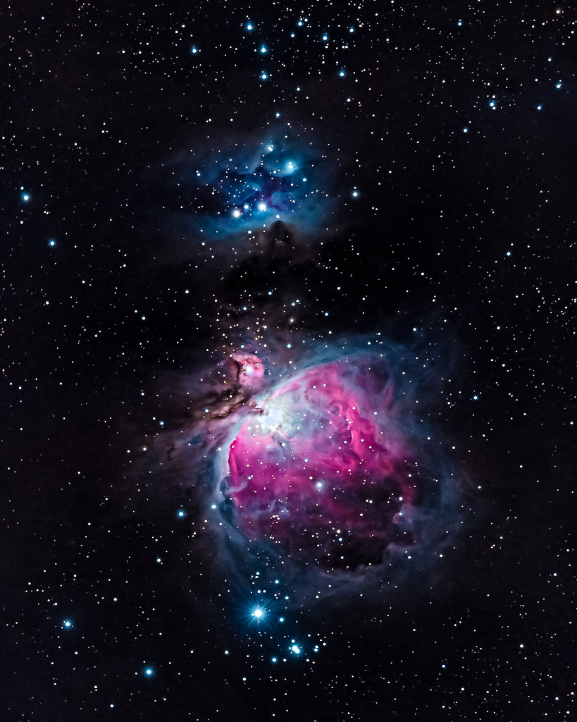
M42 - The Orion Nebula
19343.jpg
19556.jpg
19273.jpg

19275.jpg
19447.jpg
19454.jpg
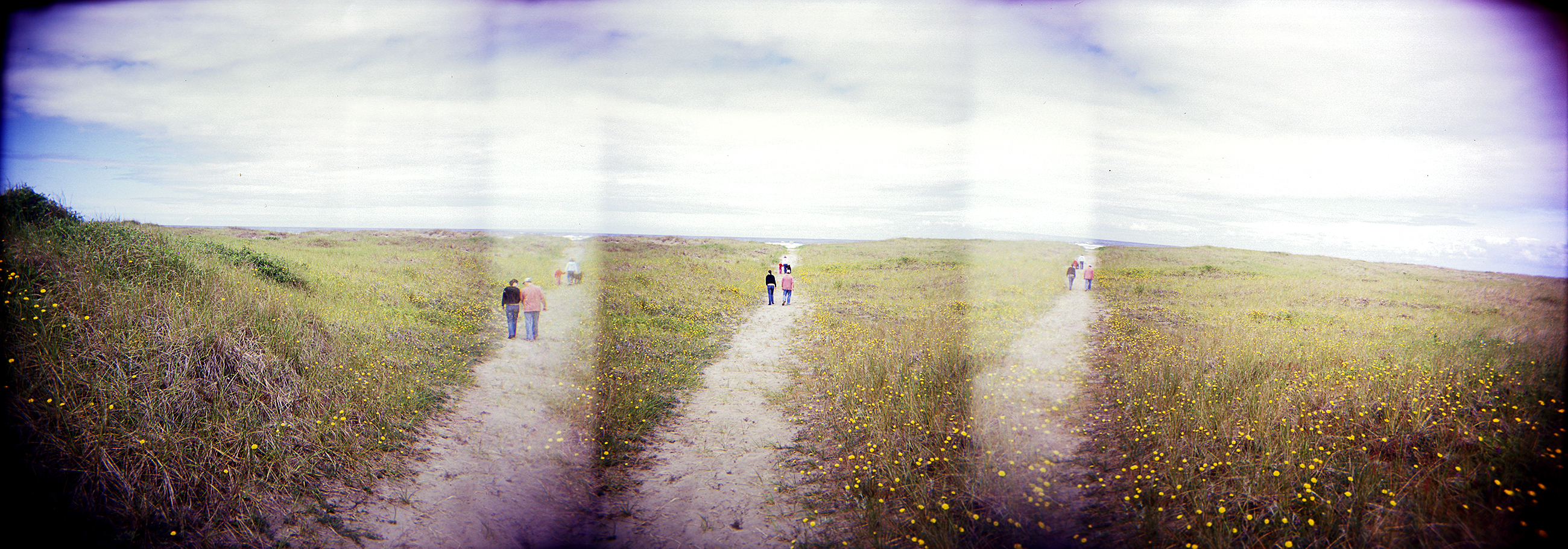
dunes panorama
19243.jpg
17989.jpg
18283.jpg
19512.jpg

366/245 - 9/1/12 - Almost gone!
PIX-IMG_6957HDTV-Test-g

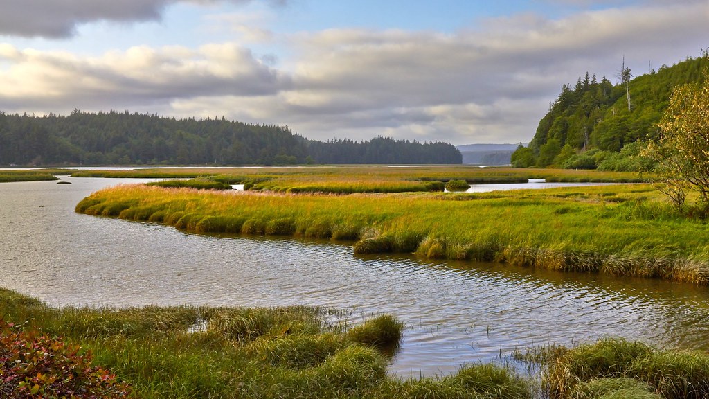
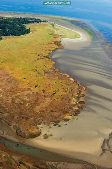
Estuary, Niawiakum River Natural Area, Washington, Winter 2017
Just a stormy day at the beach!
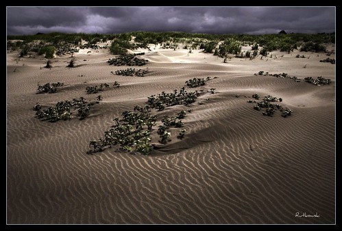
Dunes #1 - Klipsan Beach, Washington
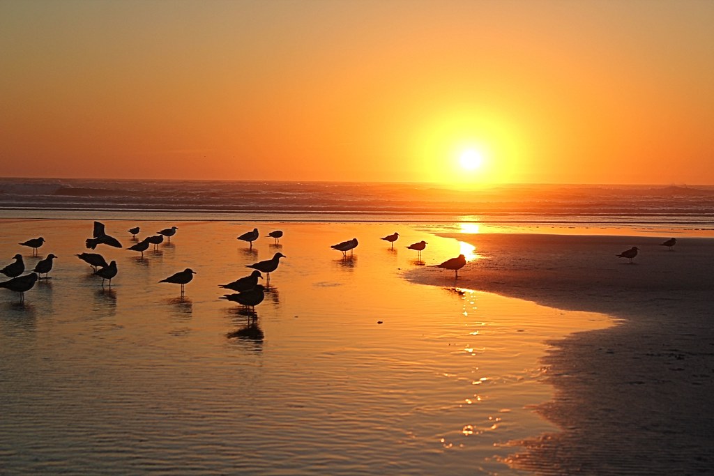
366/250 - 9/6/12 - Sunset on the Pacific Ocean!
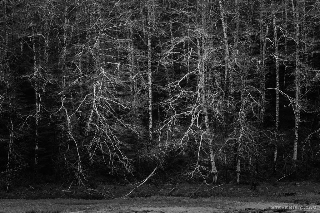
Early Spring Forest, Willapa Bay, Washington, 2014

Loomis lake today

Apple Tree

365/77 - 3/18/13 - HIGH KEY is the topic for Monday 18th March 2013
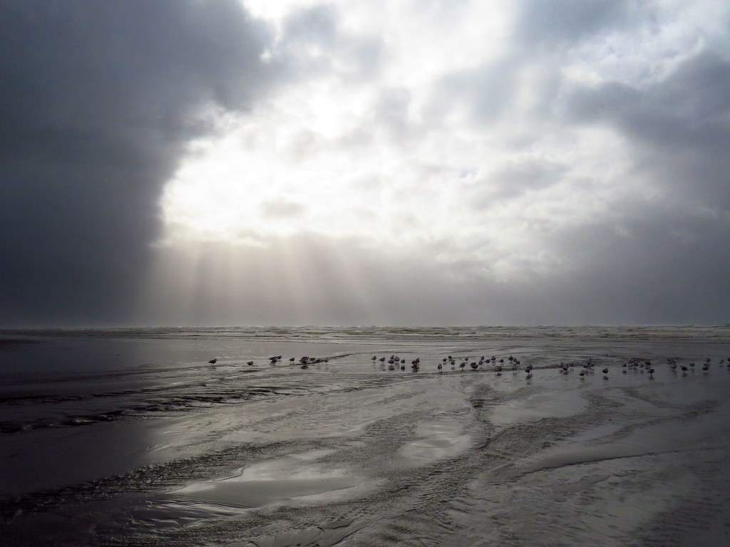
365/53 - 2/22/13 - Fun stormy day at the beach!
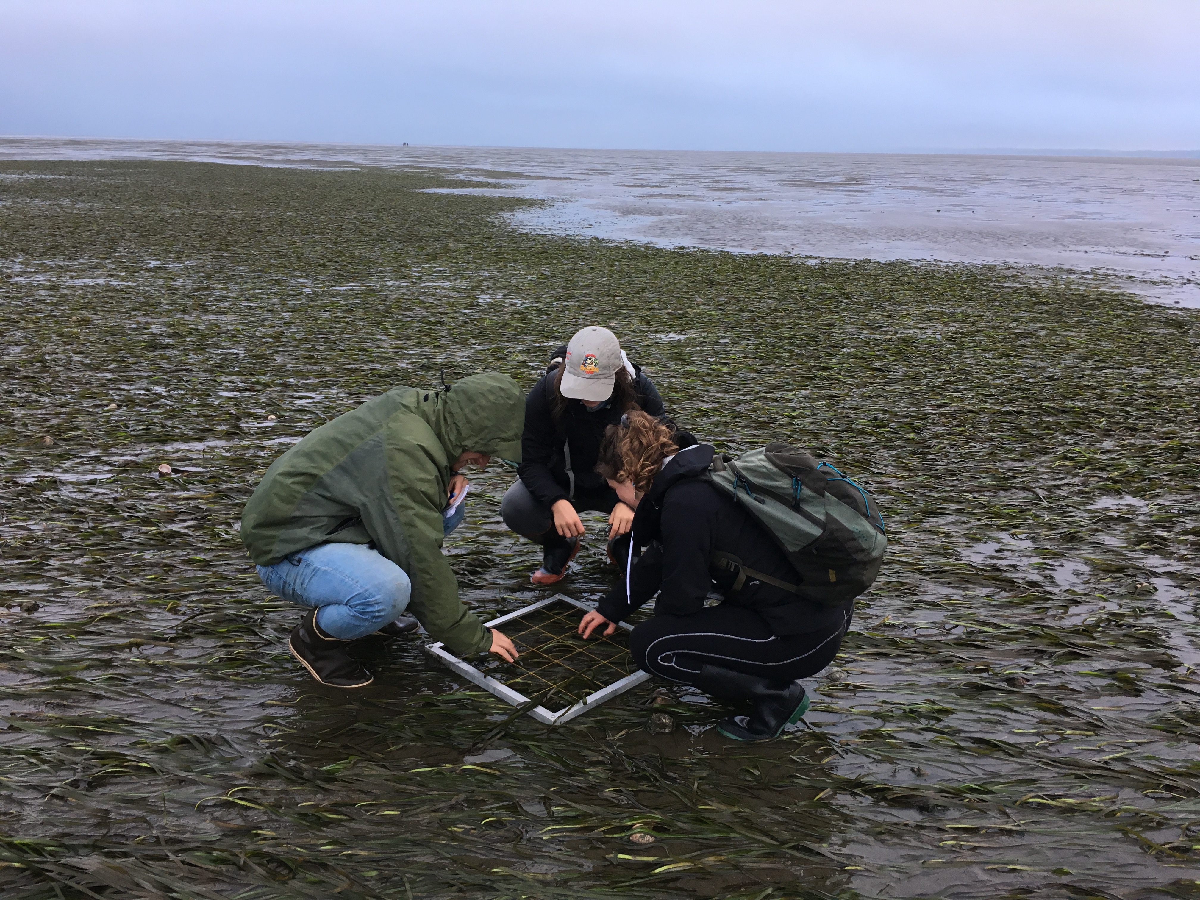
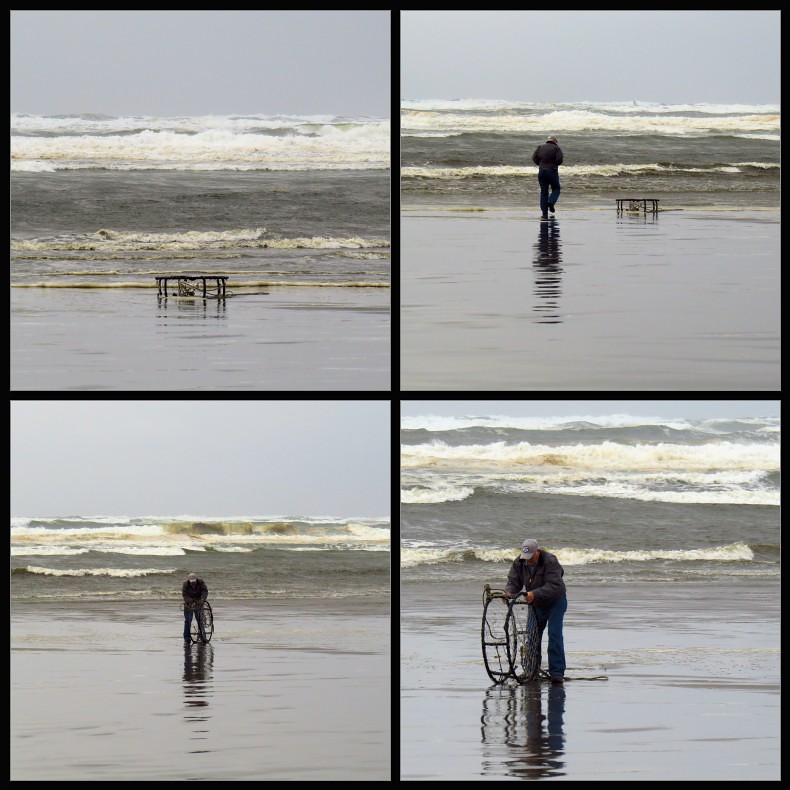
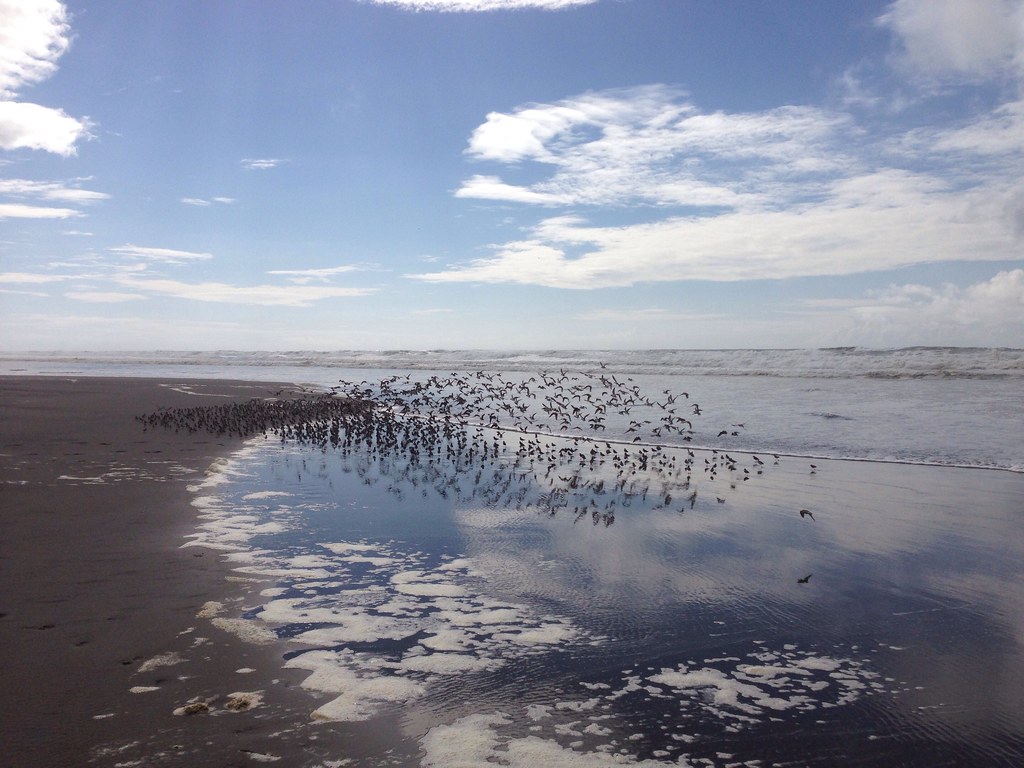
On the flats

On the flats
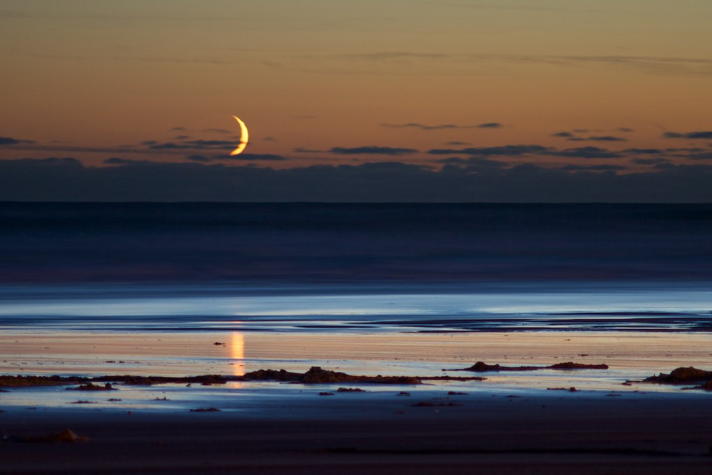
Crescent Moonset
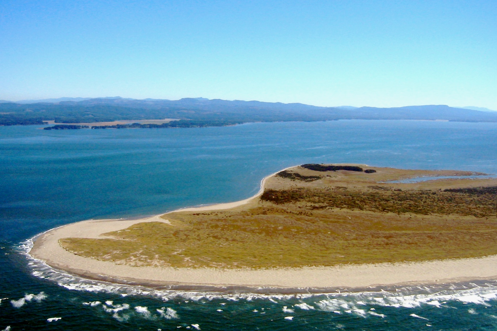
41 or 247 Willapa - Leadbetter Point

20130630-036
18312.jpg

19356.jpg
Long Beach
Topographic Map of Territory Rd, Oysterville, WA, USA
Find elevation by address:

Places near Territory Rd, Oysterville, WA, USA:
33310 Douglas Dr
32480 Sandridge Rd
32704 Douglas Dr
Espy Lane
Douglas Drive
Oysterville
2800 Oysterville Rd
34615 West Ln
33101 K Pl
J Place
33311 J Pl
34106 J Pl
33101 J Pl
32708 I St
36605 Stackpole Rd
34643 J Pl
34643 J Pl
34846 J Pl
34846 J Pl
34906 J Pl
Recent Searches:
- Elevation of Dog Leg Dr, Minden, NV, USA
- Elevation of Dog Leg Dr, Minden, NV, USA
- Elevation of Kambingan Sa Pansol Atbp., Purok 7 Pansol, Candaba, Pampanga, Philippines
- Elevation of Pinewood Dr, New Bern, NC, USA
- Elevation of Mountain View, CA, USA
- Elevation of Foligno, Province of Perugia, Italy
- Elevation of Blauwestad, Netherlands
- Elevation of Bella Terra Blvd, Estero, FL, USA
- Elevation of Estates Loop, Priest River, ID, USA
- Elevation of Woodland Oak Pl, Thousand Oaks, CA, USA