Elevation of I St, Ocean Park, WA, USA
Location: United States > Washington > Pacific County > Ocean Park >

Longitude: -124.05513

Latitude: 46.539309

Elevation: 11m / 36feet

Barometric Pressure: 101KPa

Elevation Map:

elevation map of I St, Ocean Park, WA, USA
Satellite Map:

Satellite map of I St, Ocean Park, WA, USA

Related Photos:

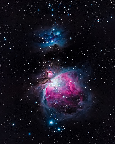
longexposure travel november nature stars iso800 washington unitedstates olympicpeninsula noflash longbeach nebula m42 northamerica portfolio locations oceanpark manualmode 2013 longbeachpeninsula 500px losmandyg11 550mm 400mmf28 astronomicalobject geo:state=washington exif:iso_speed=800 Astrometrydotnet:status=solved theorionnebula germanequatorialmount hasmetastyletag hascameratype haslenstype selfrating4stars camera:make=nikoncorporation 1200secatf56 exif:make=nikoncorporation exif:focal_length=550mm geo:countrys=unitedstates exif:aperture=ƒ56 subjectdistanceunknown nikond7100 nikond800e exif:lens=400mmf28 2013travel nikkor400mmf28gedafsvr camera:model=nikond7100 exif:model=nikond7100 hasmounttype november232013 longbeachwashington1122201311252013adamsbirthdaytrip processedinpixinsight geo:city=oceanpark oceanparkwashingtonunitedstates geo:lat=4649166184 geo:lon=12405775371 46°2930n124°328w Astrometrydotnet:id=nova165118
M42 - The Orion Nebula
geotagged geo:dir=17 geo:lat=466331666666667 geo:lon=123929
19243.jpg
geotagged geo:lon=124026666666667 geo:lat=464546666666667 geo:dir=2625
18216.jpg
geotagged geo:lat=46473 geo:lon=123985166666667 geo:dir=144
18072.jpg
geotagged geo:lat=465393333333333 geo:lon=123886666666667 geo:dir=2706
19462.jpg
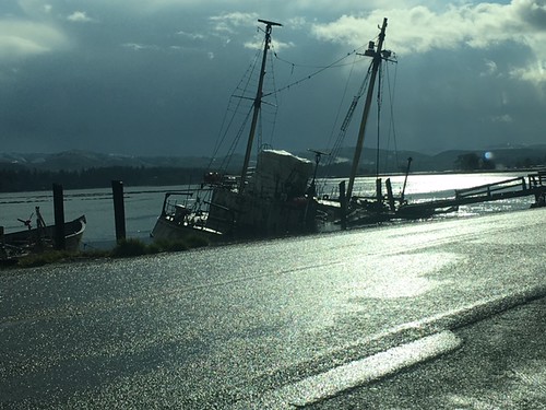
oil spill response water vessel washington ecology
View of vessel from Dike Road
geotagged geo:lon=123885 geo:dir=743 geo:lat=465175
19498.jpg
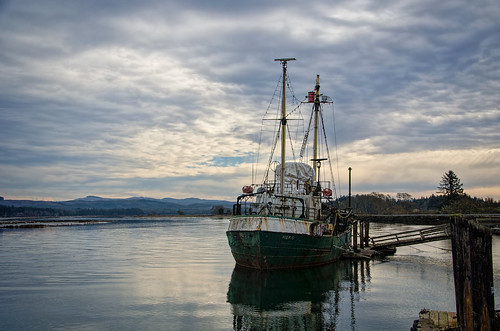
sky clouds watercolor bay pier boat nikon decay working hero pacificnorthwest pnw willapabay resilience baycenter researchvessel scrappiness baycenterwa mvherobaycenterwa mvhero rvherobaycenterwa
R/V Hero, Bay Center WA
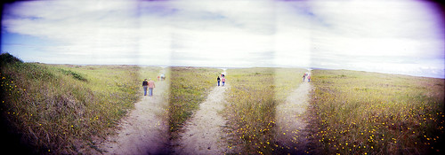
panorama beach ava mediumformat holga dunes longbeach elaine russ beachhouse
dunes panorama
geotagged geo:dir=3545 geo:lat=465993333333333 geo:lon=1238975
19314.jpg
geotagged geo:dir=2263 geo:lat=466156666666667 geo:lon=1239015
19279.jpg
geotagged geo:dir=1501 geo:lat=466276666666667 geo:lon=1239105
19260.jpg
geotagged geo:lon=123967 geo:lat=464091666666667 geo:dir=871
19733.jpg
geotagged geo:lat=464443333333333 geo:lon=1239075 geo:dir=757
19564.jpg
geotagged geo:dir=2383 geo:lat=464183333333333 geo:lon=123938833333333
17992.jpg
geotagged geo:lon=123924666666667 geo:lat=466321666666667 geo:dir=15
19248.jpg
geotagged geo:dir=12 geo:lat=466328333333333 geo:lon=123930833333333
19246.jpg
geotagged geo:lon=123978 geo:lat=464648333333333 geo:dir=2749
18065.jpg
geotagged geo:lon=123975 geo:dir=3597 geo:lat=46478
18095.jpg
geotagged geo:lon=1239085 geo:lat=46611 geo:dir=1273
19302.jpg
geotagged geo:lon=123895666666667 geo:dir=2205 geo:lat=466115
19277.jpg
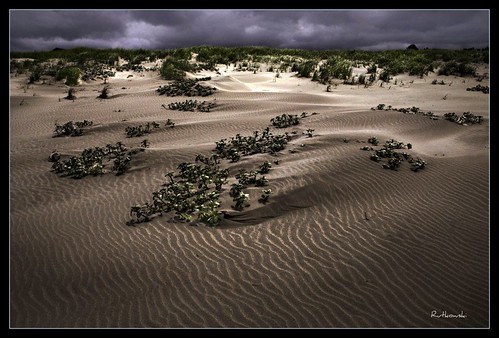
sun beach fog landscape washington sand bravo dunes dune longbeach sanddune klipsan klipsanbeach
Dunes #1 - Klipsan Beach, Washington
geotagged geo:lon=1240435 geo:lat=466253333333333 geo:dir=289
18312.jpg
estuary landscape landscapephotography nature naturephotography niawiakumriver northamerica originalphotographers pacificcounty pacificnorthwest photooftheday photographersontumblr photography trees unitedstates usa washington washingtonstate water willapabay winter
Estuary, Niawiakum River Natural Area, Washington, Winter 2017
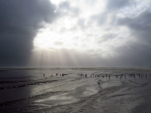
Just a stormy day at the beach!
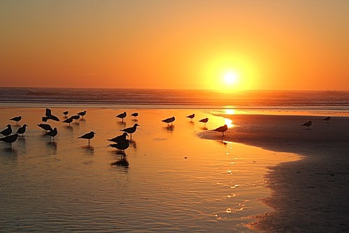
ocean sunset water birds sand pacificocean 366
366/250 - 9/6/12 - Sunset on the Pacific Ocean!
Loomis lake today
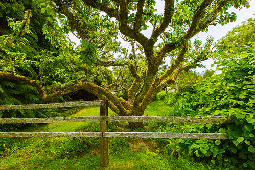
tree fence appletree pacificcounty longbeachpeninsula oystervillewa
Apple Tree
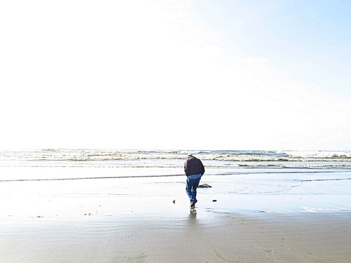
ocean beach water washington sand highkey odc1
365/77 - 3/18/13 - HIGH KEY is the topic for Monday 18th March 2013
365/53 - 2/22/13 - Fun stormy day at the beach!
landscape landscapephotography nature naturephotography northamerica originalphotographers pacificcounty pacificnorthwest photooftheday photographersontumblr photography unitedstates usa washington washingtonstate willapabay winter
Coastline, Nemah Road, Willapa Bay, Washington, Winter 2017
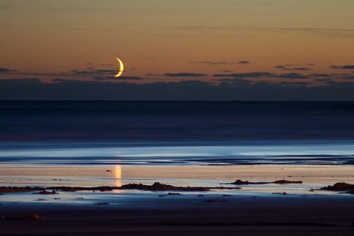
smcpm135mmf35
Crescent Moonset
ocean sunset water waves 366
366/245 - 9/1/12 - Almost gone!
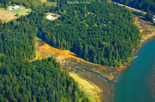
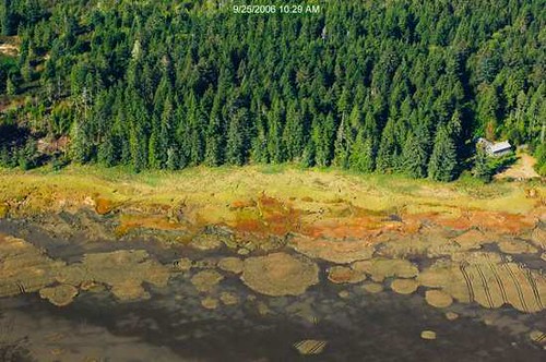
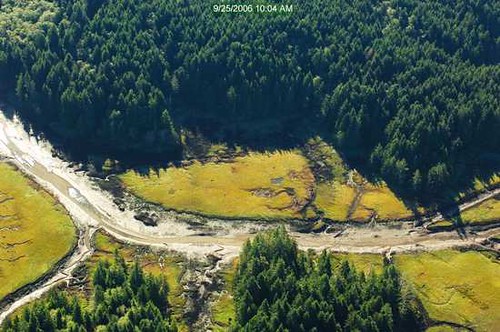
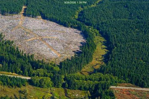
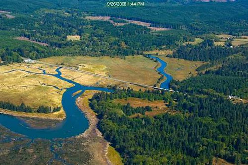
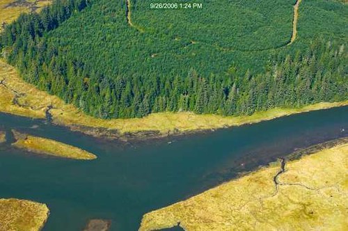
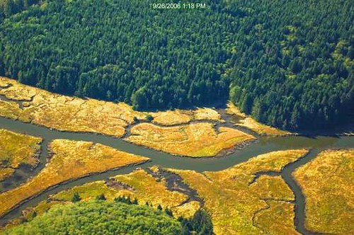
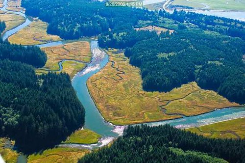
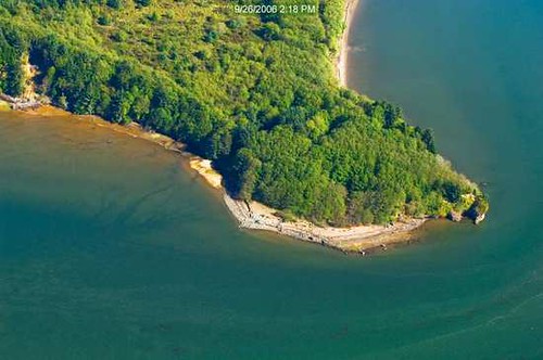
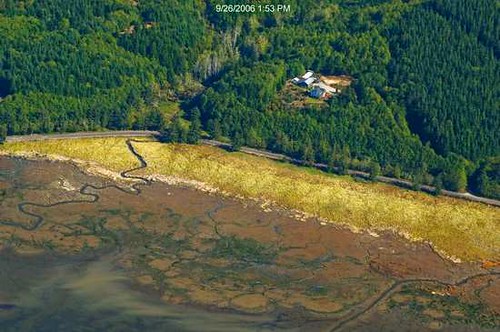
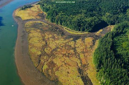
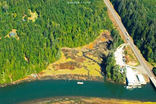
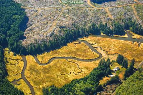
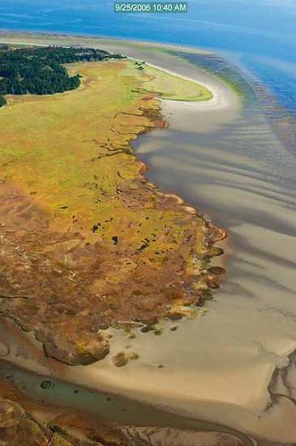
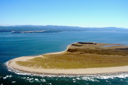
washington aerial wa willapabay leadbetterpoint
41 or 247 Willapa - Leadbetter Point
uploaded:by=flickrmobile flickriosapp:filter=nofilter
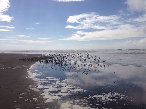
Long Beach
geotagged geo:dir=2463 geo:lon=124023166666667 geo:lat=465726666666667
18278.jpg