Elevation of Bay Center, WA, USA
Location: United States > Washington > Pacific County >
Longitude: -123.95488
Latitude: 46.631487
Elevation: 13m / 43feet
Barometric Pressure: 101KPa
Elevation Map:
Satellite Map:
Related Photos:

Marbled godwits, Tokeland, Washington
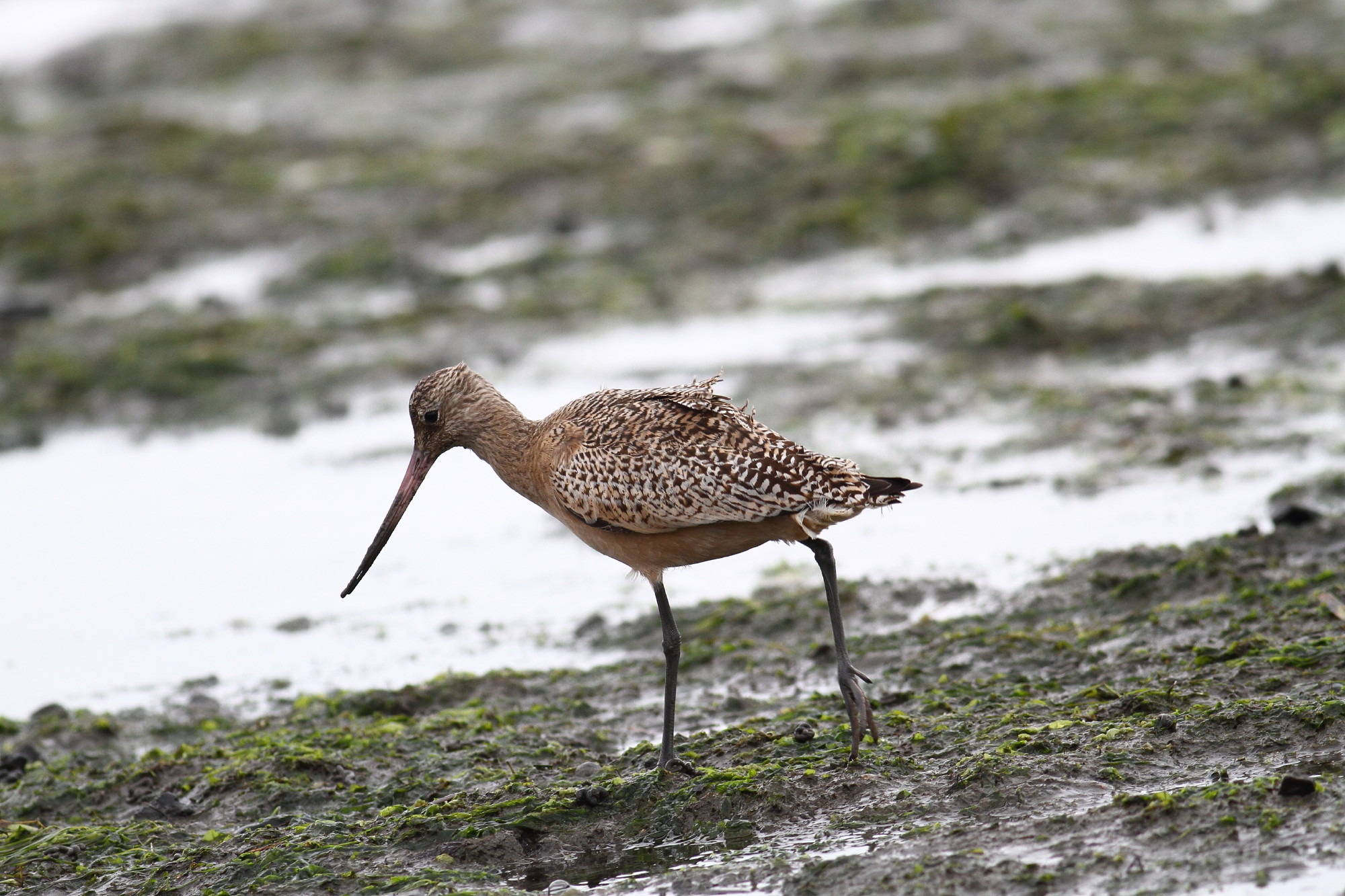
Marbled godwit, Tokeland, Washington

Willet, Tokeland, Washington

Forest Path

View of MV HERO from Dike Road

Glass dome view 1

Sea View

R/V Hero, Bay Center WA

Eyes Over Puget Sound Feb. 2016

Bar-tailed Godwit (2 of 2)

Eyes Over Puget Sound Feb. 2016

Eyes Over Puget Sound Feb. 2016

Eyes Over Puget Sound Feb. 2016
Eyes Over Puget Sound Feb. 2016

Eyes Over Puget Sound Feb. 2016

Eyes Over Puget Sound Feb. 2016

View of vessel from Dike Road
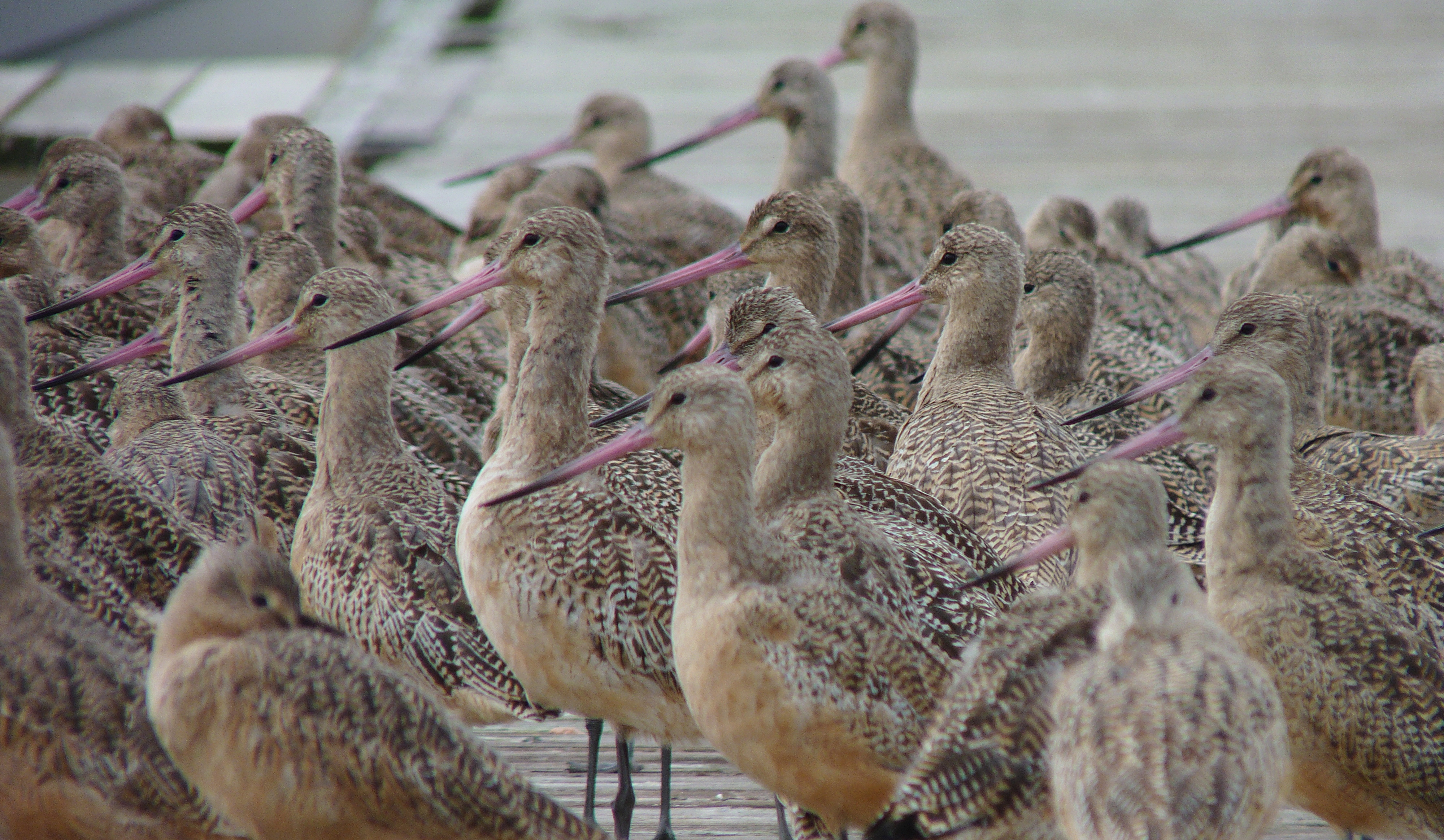
Marbled Godwits

HERO 2

Bar-tailed Godwit (1 of 2)

View of MV HERO from Dike Road

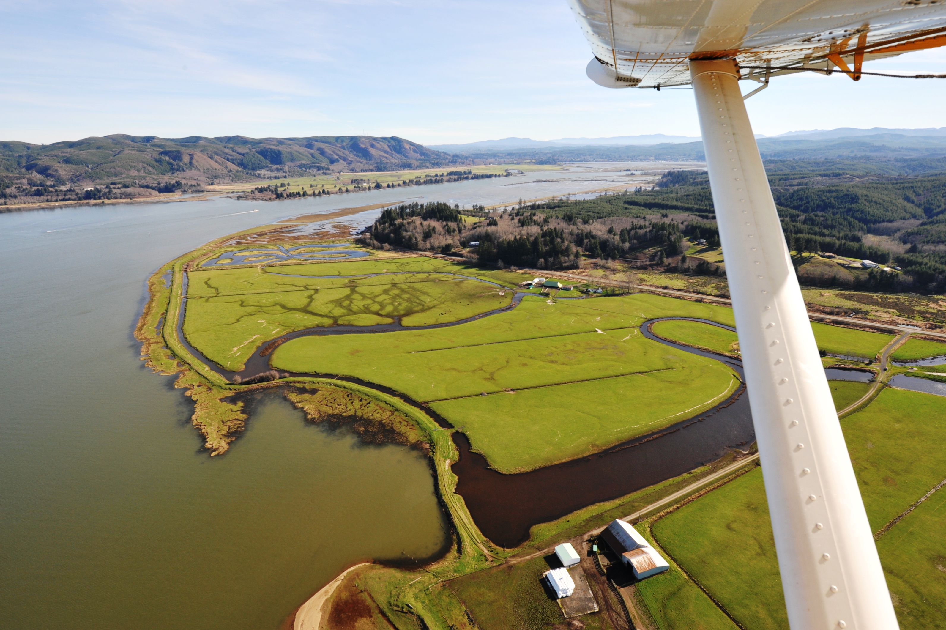
Willapa Bay

41 or 247 Willapa - Leadbetter Point

Conifer Island at Low Tide, Willapa Bay, Washington, Winter 2018
calm now

Unknown Creek, Pacific County, Washington, Winter 2017

Estuary, Niawiakum River Natural Area, Washington, Winter 2017

Norris Slough, Pacific County, Washington, Winter 2017

Old Dock, Tokeland, Washington, Winter 2017

A seaweed huntin' dog

Slough, Cedar River Estuary, Pacific County, Washington, Winter 2017

Cedar River Estuary, Pacific County, Washington, Winter 2017

Coastline, Nemah Road, Willapa Bay, Washington, Winter 2017

North Shore, Willapa Bay, Washington, Winter 2017

ST-DK-00019

at the sea

Tributary of Cedar River, Pacific County, Washington, Winter 2017

blue sunset
Topographic Map of Bay Center, WA, USA
Find elevation by address:

Places near Bay Center, WA, USA:
168 Bay Center Rd
36 Willaview Ln, South Bend, WA, USA
20 Rhodesia Beach Rd
80 Wilson Ln
18 Wilson Ln
16 Bay Center Rd, South Bend, WA, USA
US-, South Bend, WA, USA
Toke Point
Kindred Ave, Tokeland, WA, USA
Leadbetter Point State Park
A Street & Ogren Road
71 Rixon Rd
Pacific County Courthouse
702 Robert Bush Drive East
618 Cowlitz St
618 Cowlitz St
South Bend
Royal Heights Transfer Station
1034 Juniper St
Recent Searches:
- Elevation of Dog Leg Dr, Minden, NV, USA
- Elevation of Dog Leg Dr, Minden, NV, USA
- Elevation of Kambingan Sa Pansol Atbp., Purok 7 Pansol, Candaba, Pampanga, Philippines
- Elevation of Pinewood Dr, New Bern, NC, USA
- Elevation of Mountain View, CA, USA
- Elevation of Foligno, Province of Perugia, Italy
- Elevation of Blauwestad, Netherlands
- Elevation of Bella Terra Blvd, Estero, FL, USA
- Elevation of Estates Loop, Priest River, ID, USA
- Elevation of Woodland Oak Pl, Thousand Oaks, CA, USA