Elevation of Sandridge Rd, Oysterville, WA, USA
Location: United States > Washington > Pacific County > Oysterville >
Longitude: -124.03179
Latitude: 46.5279105
Elevation: 5m / 16feet
Barometric Pressure: 101KPa
Elevation Map:
Satellite Map:
Related Photos:

M42 - The Orion Nebula

Forest Path

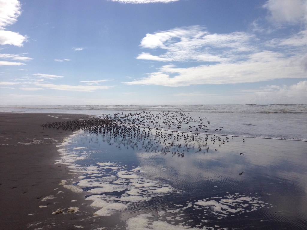
Sea View

R/V Hero, Bay Center WA

NGC7000 - The North American Nebula
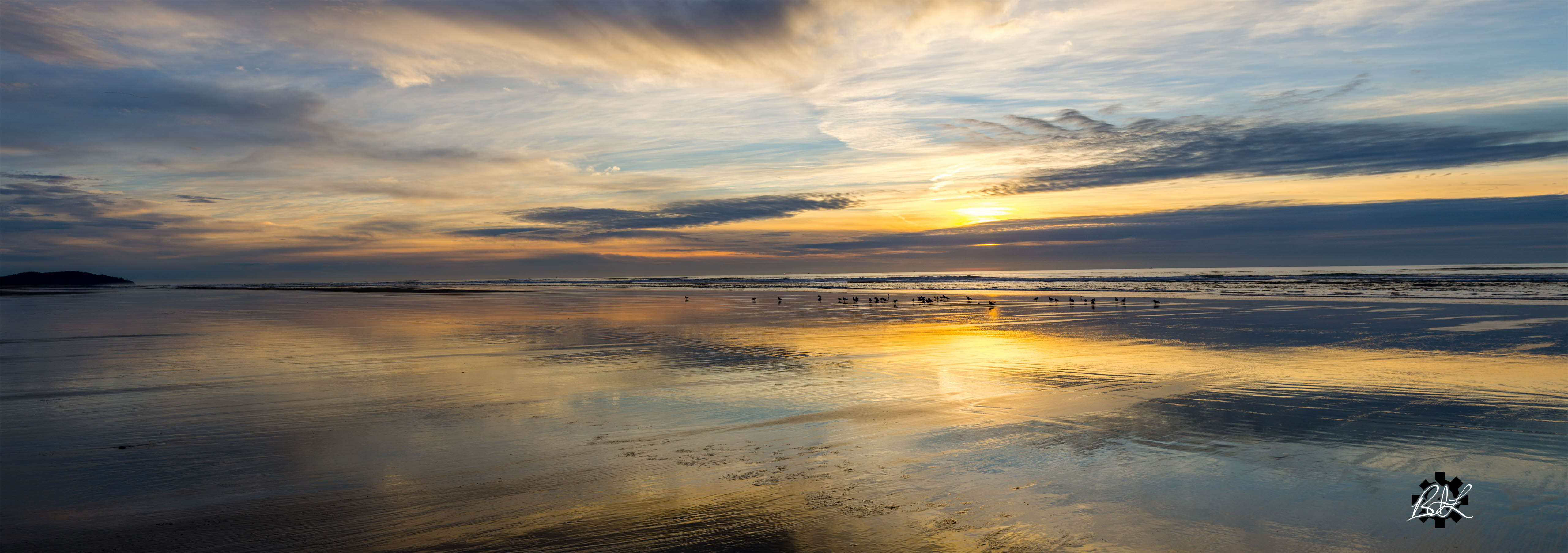
Late Christmas at the Beach

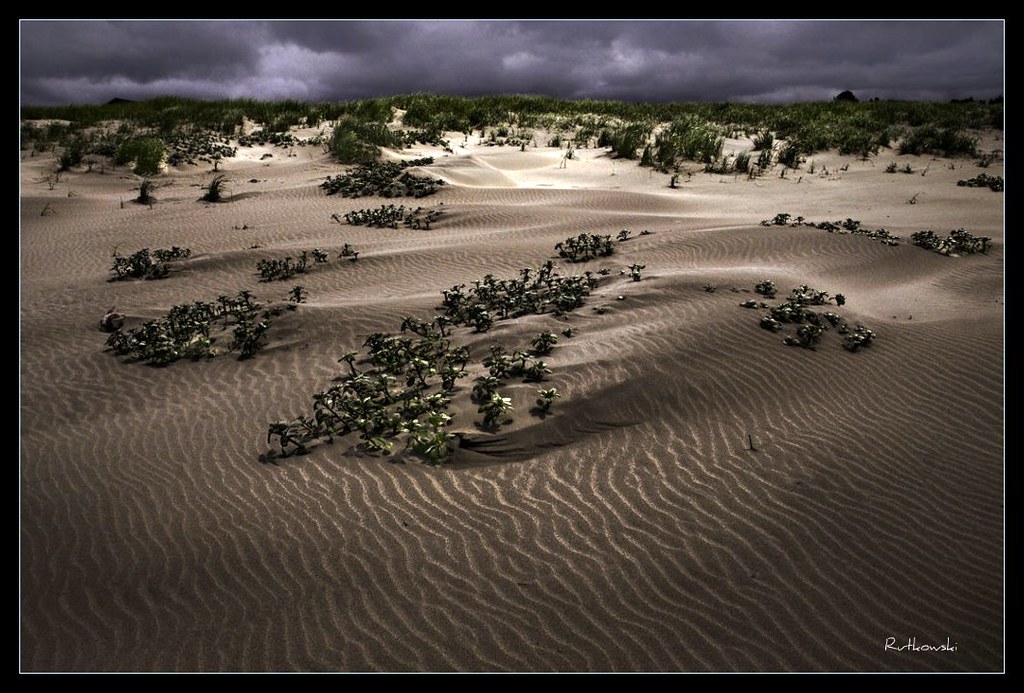
dunes panorama

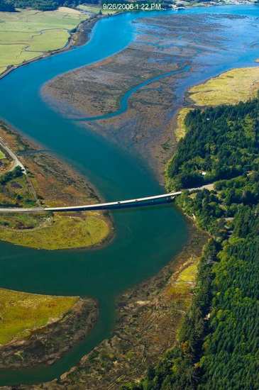
Eyes Over Puget Sound Feb. 2016

Eyes Over Puget Sound Feb. 2016

Eyes Over Puget Sound Feb. 2016

Eyes Over Puget Sound Feb. 2016

Eyes Over Puget Sound Feb. 2016

Eyes Over Puget Sound Feb. 2016

View of vessel from Dike Road

HERO 2

View of MV HERO from Dike Road

View of MV HERO from Dike Road

View of MV HERO from Dike Road

IMG_5774 Leadbetter Point Trails

16415.jpg
19299.jpg

365/77 - 3/18/13 - HIGH KEY is the topic for Monday 18th March 2013

41 or 247 Willapa - Leadbetter Point

Willapa National Wildlife Refuge

Abandoned fishing boat, Nahcotta harbor

Willapa Bay With Boat

Estuary, Niawiakum River Natural Area, Washington, Winter 2017

A seaweed huntin' dog

365/31 - 1/31/13 - Immortal, the beach and water will always be here, wish the plastic junk was'nt!

Coastline, Nemah Road, Willapa Bay, Washington, Winter 2017

Early Spring Forest, Willapa Bay, Washington, 2014

Long Island Slough, Pacific County, Washington, Winter 2017
Dunes #1 - Klipsan Beach, Washington
Long Beach

Ocean Park Sunset
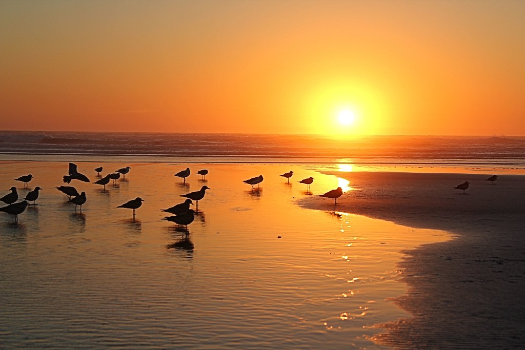
366/250 - 9/6/12 - Sunset on the Pacific Ocean!

Slough, Government Road, Pacific County, Washington, Winter 2017

Long Beach
Topographic Map of Sandridge Rd, Oysterville, WA, USA
Find elevation by address:

Places near Sandridge Rd, Oysterville, WA, USA:
3505 296th St
2406 300th Pl
29600 T Ln
1500 321st Pl
1315 304th Pl
1311 303rd Pl
Surfside Golf Course
28407 West Ln
31402 J Pl
30906 J Pl
30902 J Pl
30903 J Pl
30909 J Pl
30809 J Pl
30711 J Pl
30208 J Pl
30204 J Pl
27880 U St
29523 K Pl
31710 H Pl
Recent Searches:
- Elevation of Dog Leg Dr, Minden, NV, USA
- Elevation of Dog Leg Dr, Minden, NV, USA
- Elevation of Kambingan Sa Pansol Atbp., Purok 7 Pansol, Candaba, Pampanga, Philippines
- Elevation of Pinewood Dr, New Bern, NC, USA
- Elevation of Mountain View, CA, USA
- Elevation of Foligno, Province of Perugia, Italy
- Elevation of Blauwestad, Netherlands
- Elevation of Bella Terra Blvd, Estero, FL, USA
- Elevation of Estates Loop, Priest River, ID, USA
- Elevation of Woodland Oak Pl, Thousand Oaks, CA, USA