Elevation of Surfside Golf Course, J Pl, Ocean Park, WA, USA
Location: United States > Washington > Pacific County > Ocean Park >
Longitude: -124.05358
Latitude: 46.5307738
Elevation: 13m / 43feet
Barometric Pressure: 101KPa
Elevation Map:
Satellite Map:
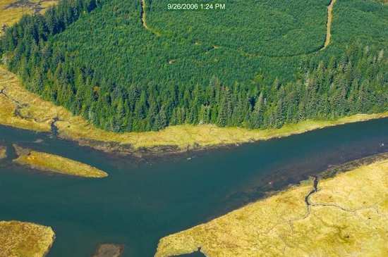
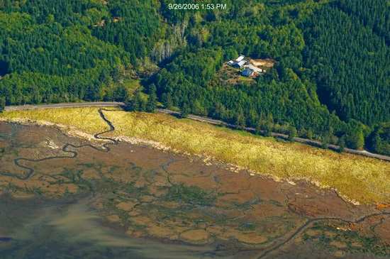
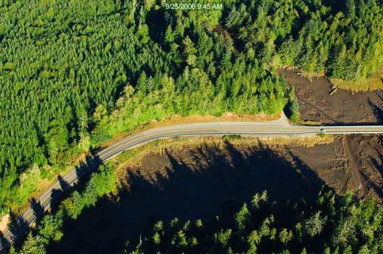
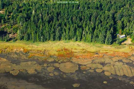
Related Photos:
19343.jpg
17989.jpg
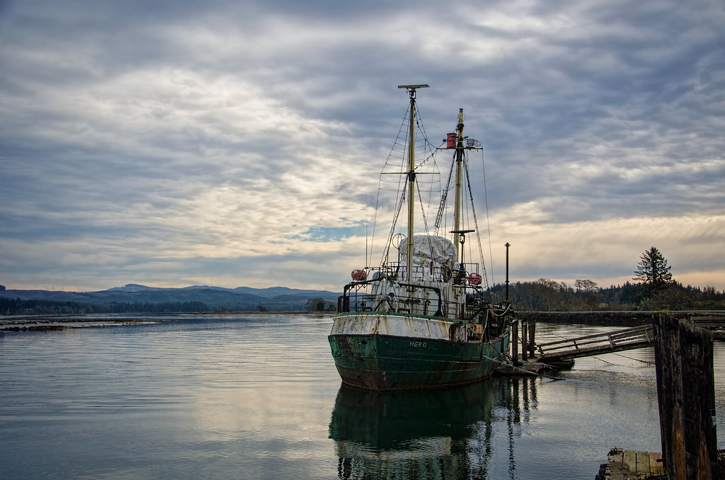
R/V Hero, Bay Center WA
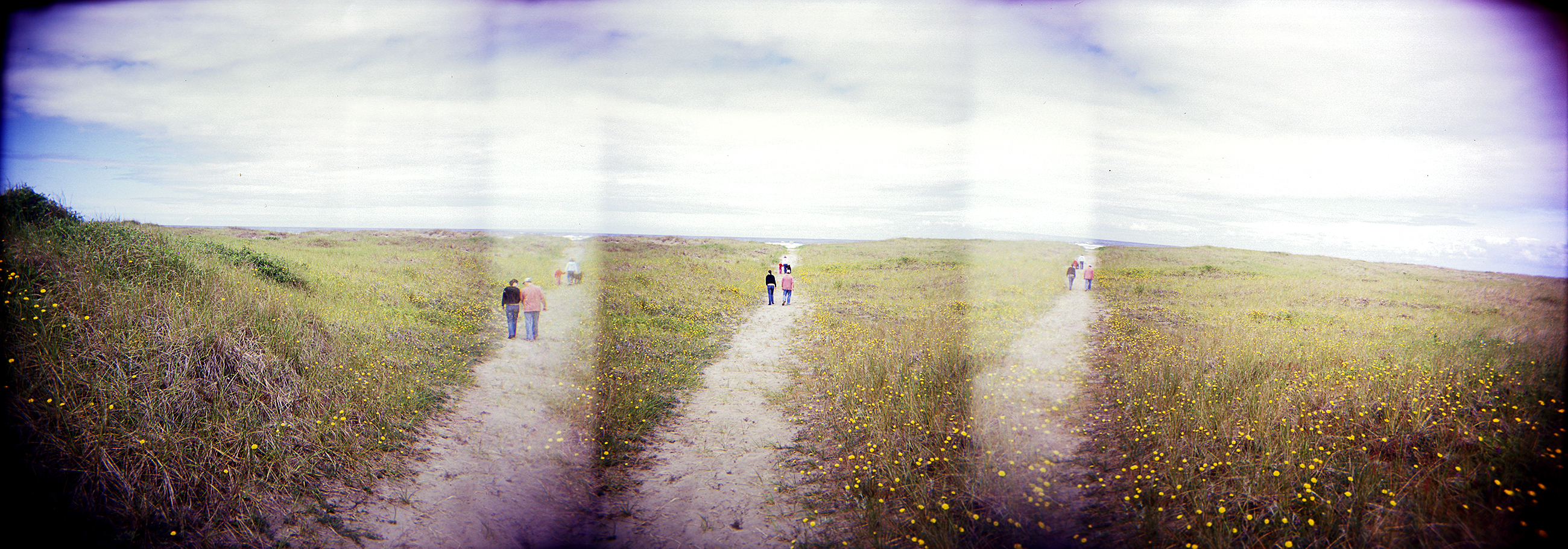
dunes panorama
19314.jpg
19564.jpg
17953.jpg
18216.jpg
19733.jpg
17978.jpg
17992.jpg
18072.jpg
18065.jpg
18316.jpg
19706.jpg
18266.jpg
18095.jpg
19353.jpg

18198.jpg
19366.jpg
19555.jpg

On the flats
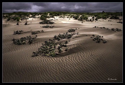
Dunes #1 - Klipsan Beach, Washington
PIX-IMG_6957HDTV-Test-g
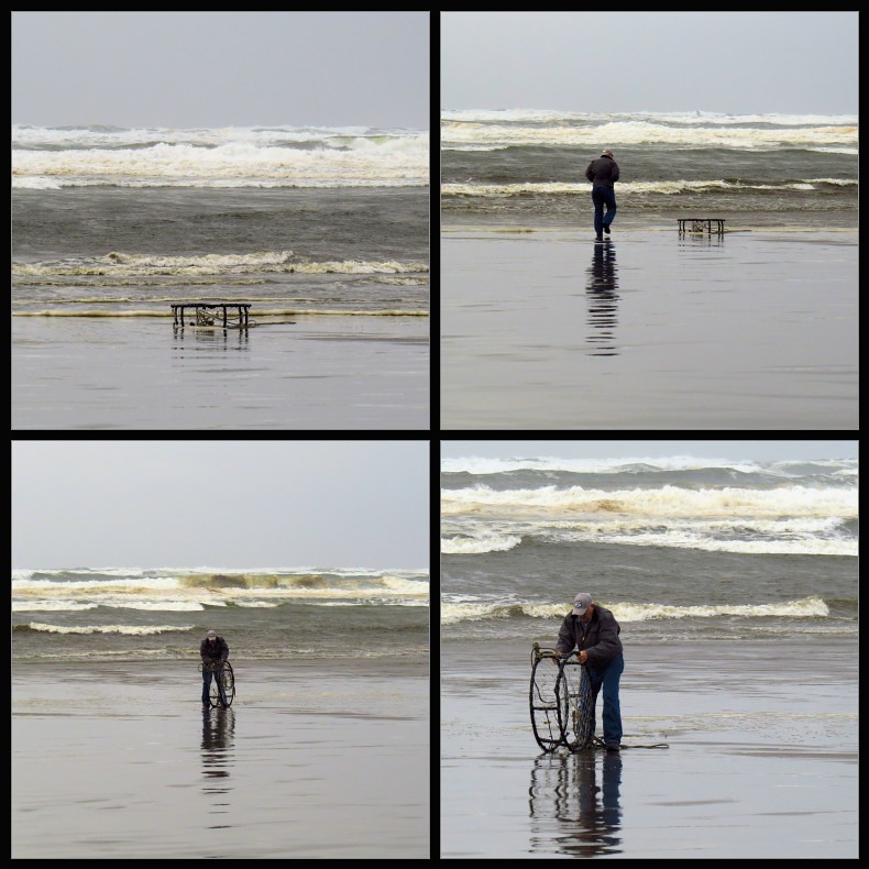
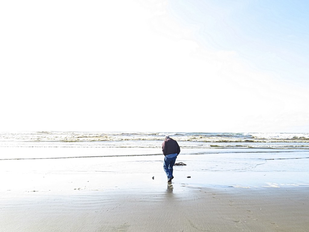
Just a stormy day at the beach!
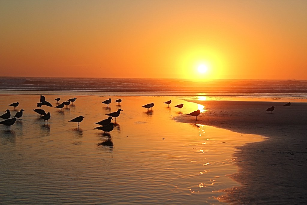
366/250 - 9/6/12 - Sunset on the Pacific Ocean!
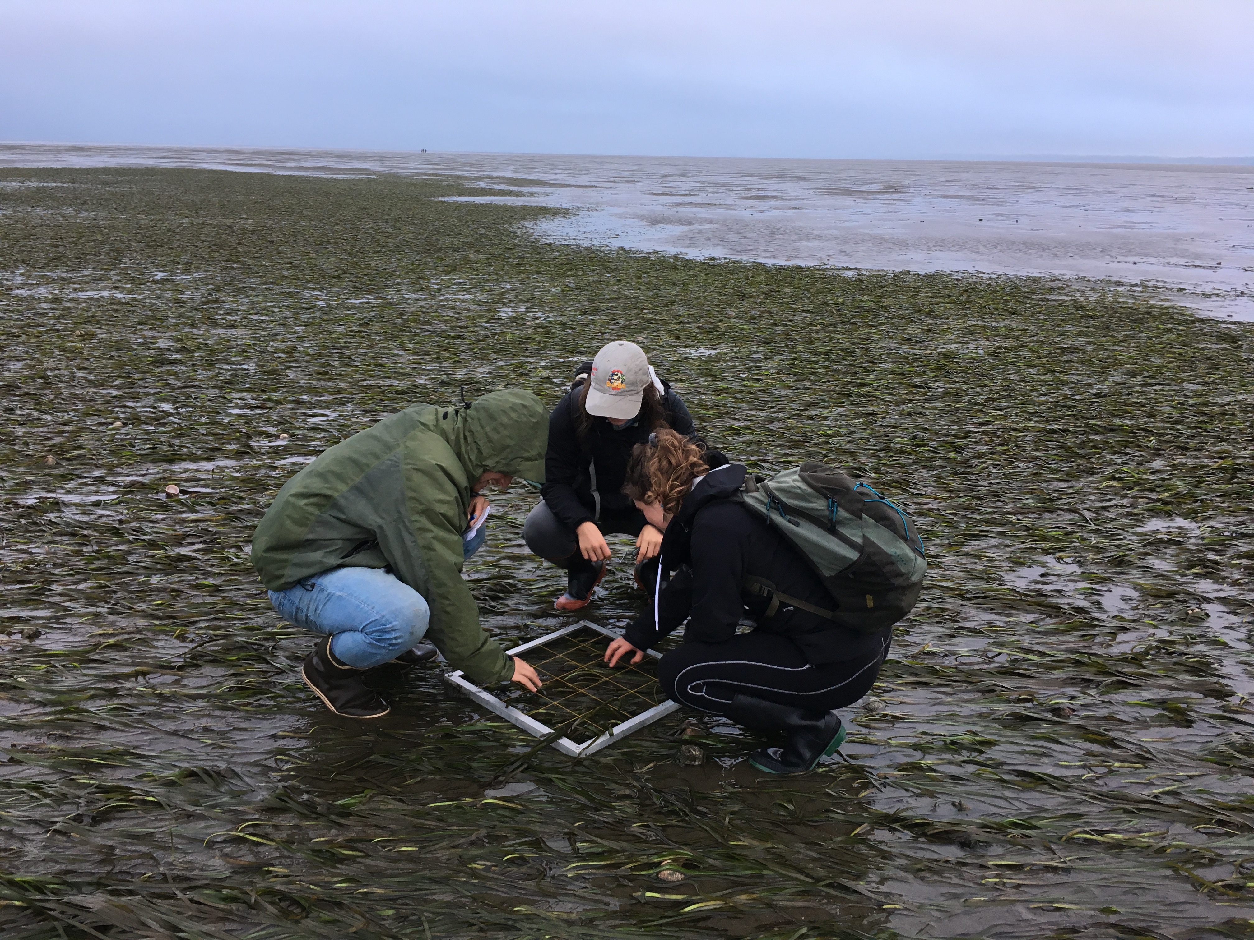
On the flats

Loomis lake today
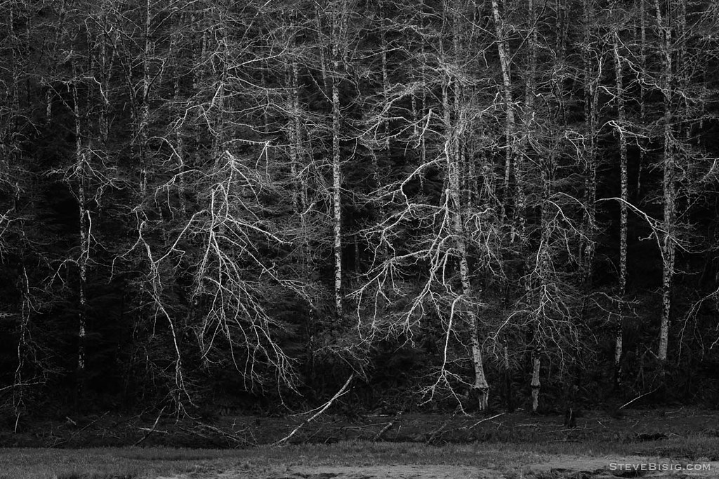
Early Spring Forest, Willapa Bay, Washington, 2014
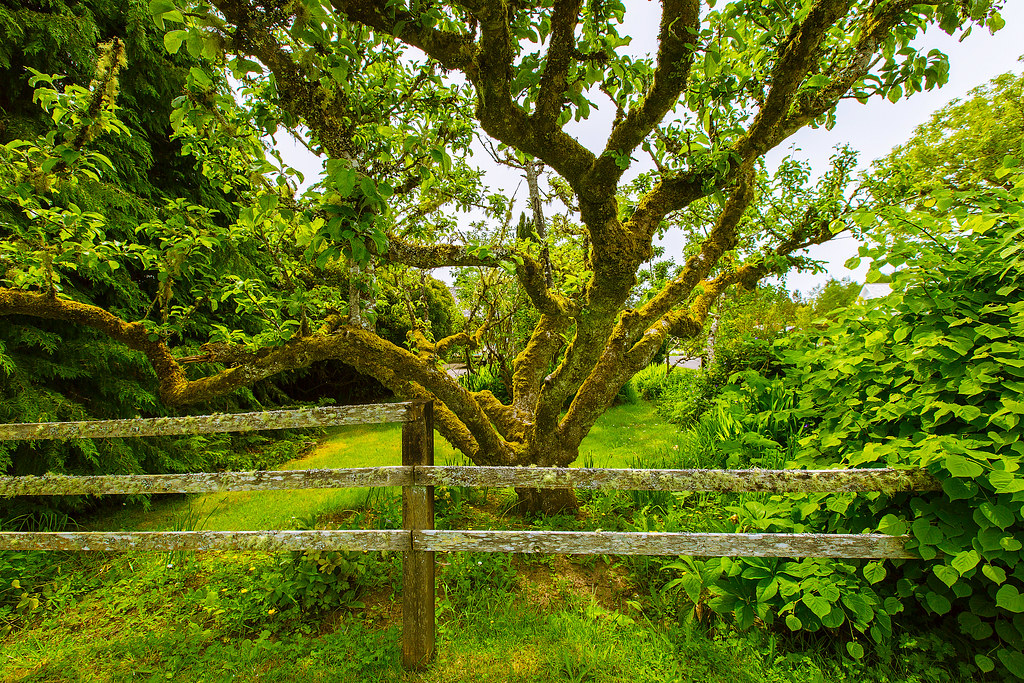
Apple Tree
365/77 - 3/18/13 - HIGH KEY is the topic for Monday 18th March 2013
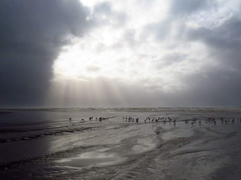
365/53 - 2/22/13 - Fun stormy day at the beach!
18312.jpg

Coastline, Nemah Road, Willapa Bay, Washington, Winter 2017
18115.jpg
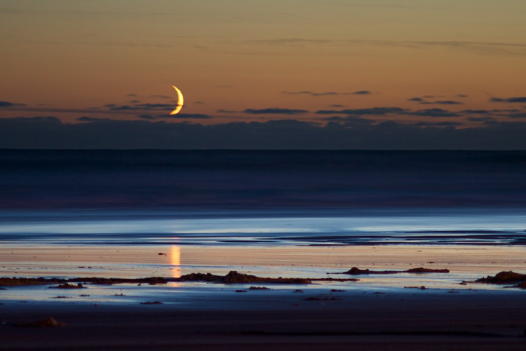
Crescent Moonset
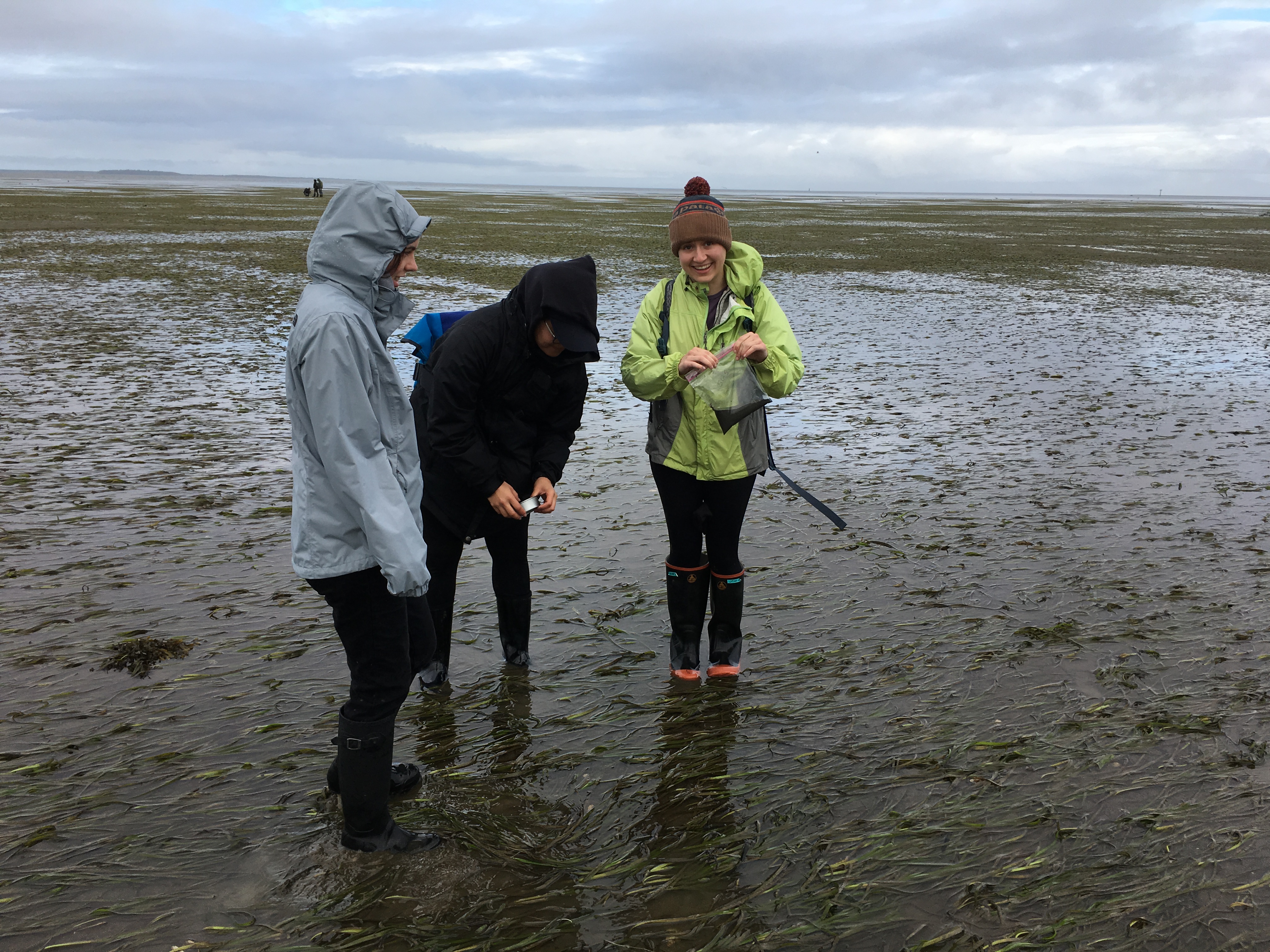
On the flats

366/245 - 9/1/12 - Almost gone!

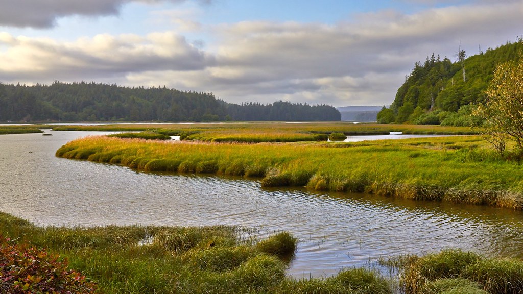
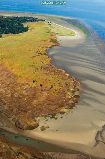
Estuary, Niawiakum River Natural Area, Washington, Winter 2017
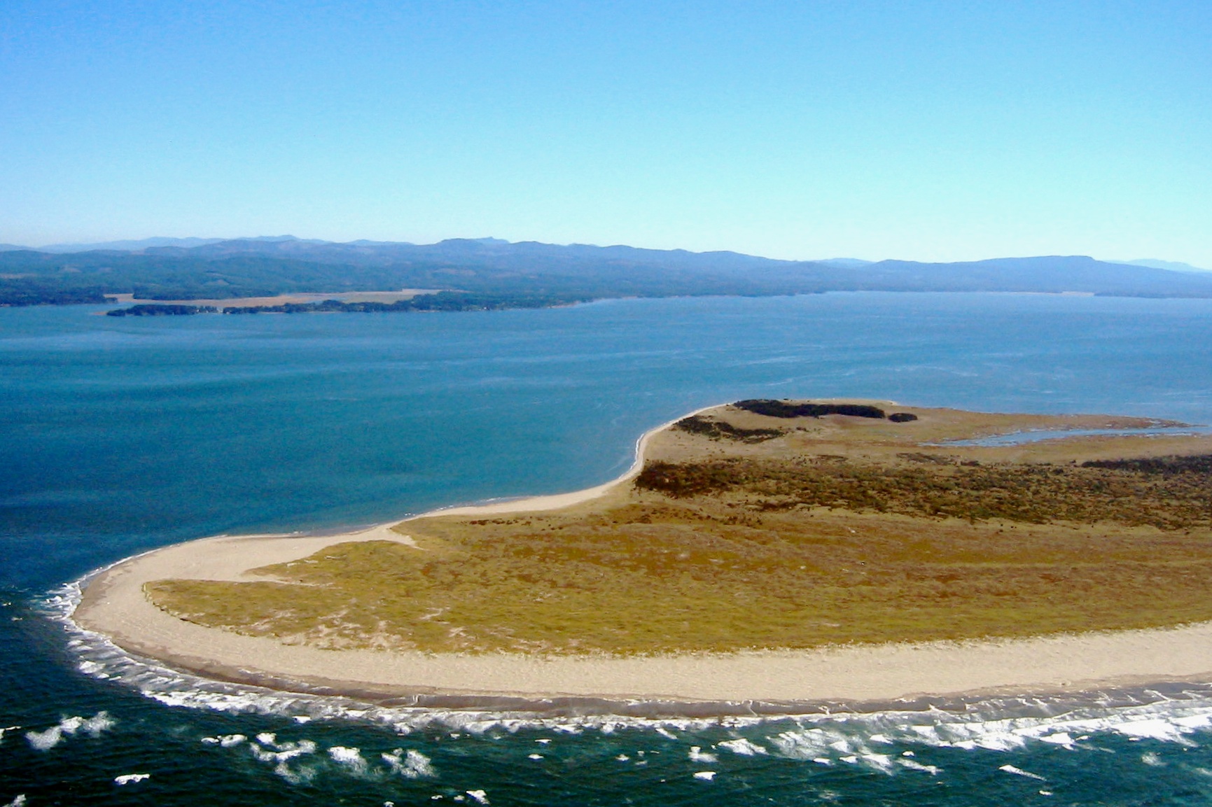
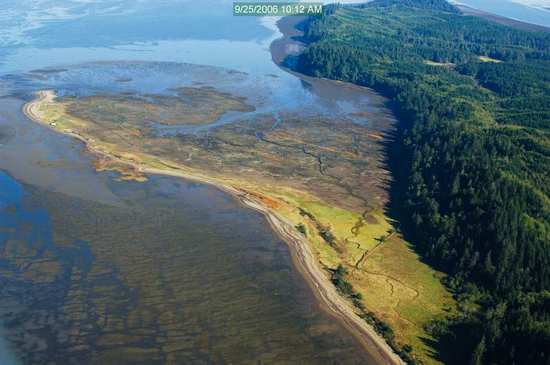
41 or 247 Willapa - Leadbetter Point
Topographic Map of Surfside Golf Course, J Pl, Ocean Park, WA, USA
Find elevation by address:

Places near Surfside Golf Course, J Pl, Ocean Park, WA, USA:
31402 J Pl
31710 H Pl
31310 G St
30909 J Pl
30906 J Pl
30902 J Pl
30903 J Pl
30809 J Pl
1500 321st Pl
30711 J Pl
1315 304th Pl
1311 303rd Pl
30208 J Pl
30204 J Pl
29621 K St
29523 K Pl
29523 K St
29211 H St
29211 H St
29600 T Ln
Recent Searches:
- Elevation of Congressional Dr, Stevensville, MD, USA
- Elevation of Bellview Rd, McLean, VA, USA
- Elevation of Stage Island Rd, Chatham, MA, USA
- Elevation of Shibuya Scramble Crossing, 21 Udagawacho, Shibuya City, Tokyo -, Japan
- Elevation of Jadagoniai, Kaunas District Municipality, Lithuania
- Elevation of Pagonija rock, Kranto 7-oji g. 8"N, Kaunas, Lithuania
- Elevation of Co Rd 87, Jamestown, CO, USA
- Elevation of Tenjo, Cundinamarca, Colombia
- Elevation of Côte-des-Neiges, Montreal, QC H4A 3J6, Canada
- Elevation of Bobcat Dr, Helena, MT, USA