Elevation of 7 S Valley Rd, Naselle, WA, USA
Location: United States > Washington > Pacific County > Naselle >
Longitude: -123.81091
Latitude: 46.3651408
Elevation: 8m / 26feet
Barometric Pressure: 101KPa
Elevation Map:
Satellite Map:
Related Photos:
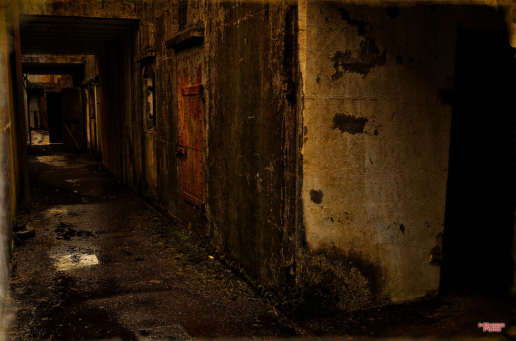
Battery Murphy

Some views of the Astoria Bridge

Astoria Twilight

Some views of the Astoria Bridge

Eyes Over Puget Sound Feb. 2016
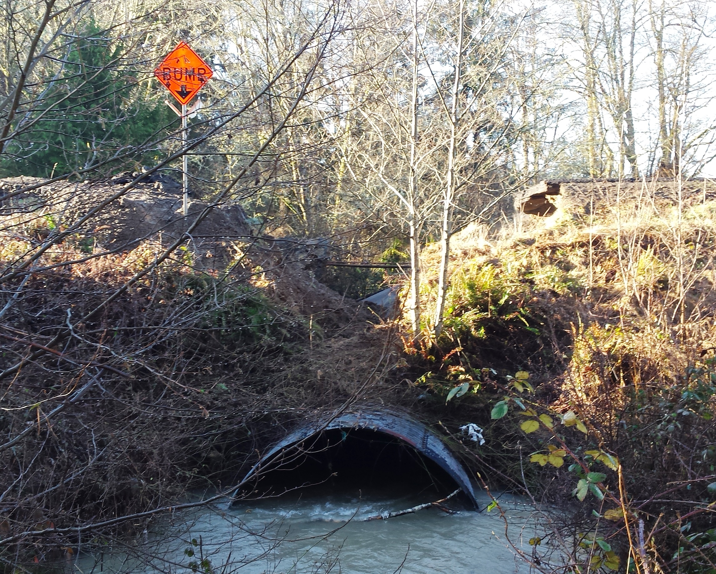
SR 4 Culvert Rehabilitation

Eyes Over Puget Sound Feb. 2016
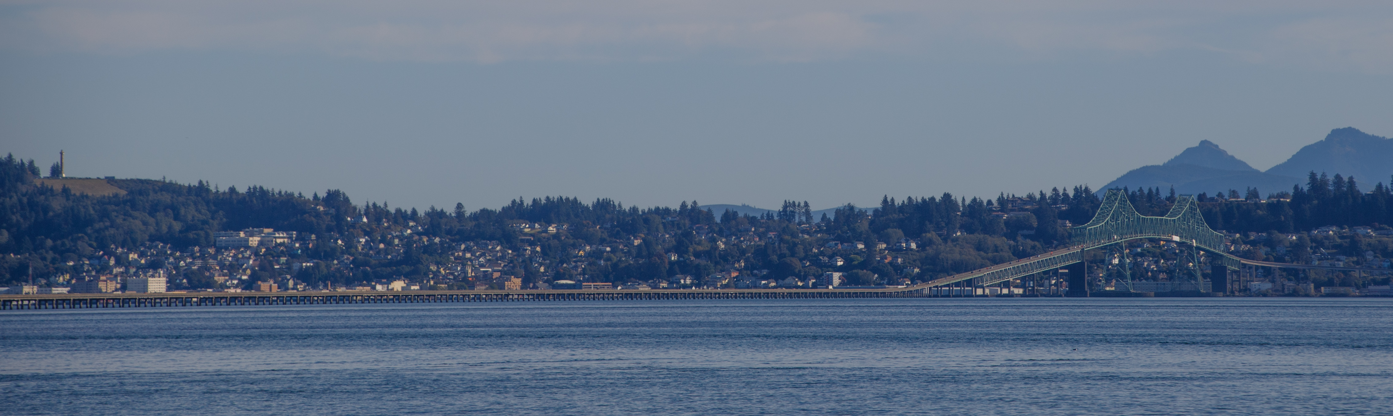
Some views of the Astoria Bridge

Some views of the Astoria Bridge

River's End RV Park, WA

Astoria-Megler Glow

"in full view"

20841.jpg

TO THE SEA

16644.jpg

20833.jpg

19722.jpg
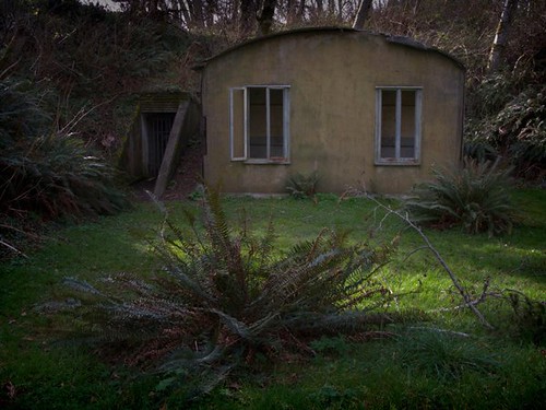
Abandoned Hut With Ferns

16649.jpg

20906.jpg

McGowan, Oregon

Small Private Island

Columbia River HDR

Monochrome Columbia River

on the delta

Grateful for moments like these #dock #port #pnwonderland #pnwnatives #pnwcollective #pnw #washington #chinook #boats #columbiariver #grateful #peaceful

Old Fort Columbia B/W

Roll on Columbia

The Beast

Shipwreck of the USS Plainview, Columbia River, Washington, 2014

Columbia River Defense

Shoreline, Willapa Bay, Washington, Winter 2017

Dismal Nitch [2 of 3]

Mouth of the Columbia

Astoria Megler Bridge

Early Spring Forest, Willapa Bay, Washington, 2014

Trompe-l'œil

Old Barn, Rosburg, Washington, 2014

Long Island Slough, Pacific County, Washington, Winter 2017

Storm clouds coming,
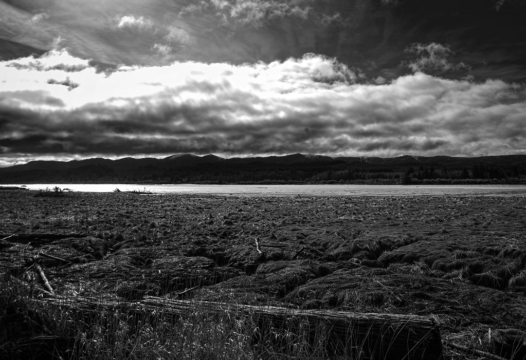
Storm Coming, Naselle WA

Trees on a Rock Island, Columbia River, Washington, 2014
Topographic Map of 7 S Valley Rd, Naselle, WA, USA
Find elevation by address:

Places near 7 S Valley Rd, Naselle, WA, USA:
9 S Valley Rd
Naselle
140 S Valley Rd
15 Ullakko Rd
South Valley Road
South Valley Road
US-, Chinook, WA, USA
Chinook
30 Cherry St
258 Stringtown Rd
67th Place
67th Place
3711 Pioneer Rd
1705 Us-101
3100 32 Pl
410 Mary Ann Ave Ne
716 Cedar St Ne
311 Elizabeth Ave Ne
406 Cedar St Ne
2008 Sid Snyder Dr
Recent Searches:
- Elevation of Vista Blvd, Sparks, NV, USA
- Elevation of 15th Ave SE, St. Petersburg, FL, USA
- Elevation of Beall Road, Beall Rd, Florida, USA
- Elevation of Leguwa, Nepal
- Elevation of County Rd, Enterprise, AL, USA
- Elevation of Kolchuginsky District, Vladimir Oblast, Russia
- Elevation of Shustino, Vladimir Oblast, Russia
- Elevation of Lampiasi St, Sarasota, FL, USA
- Elevation of Elwyn Dr, Roanoke Rapids, NC, USA
- Elevation of Congressional Dr, Stevensville, MD, USA