Elevation of Silver Dr, Spalding, ID, USA
Location: United States > Idaho > Nez Perce County > Spalding >
Longitude: -116.83676
Latitude: 46.44473
Elevation: 244m / 801feet
Barometric Pressure: 98KPa
Elevation Map:
Satellite Map:
Related Photos:

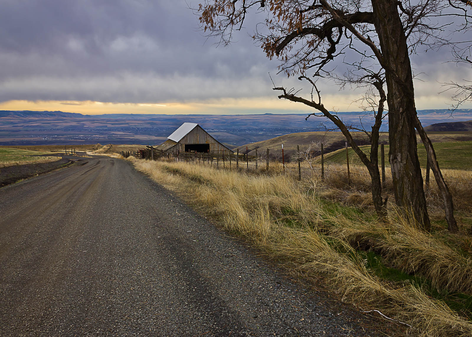
Road to Perdition
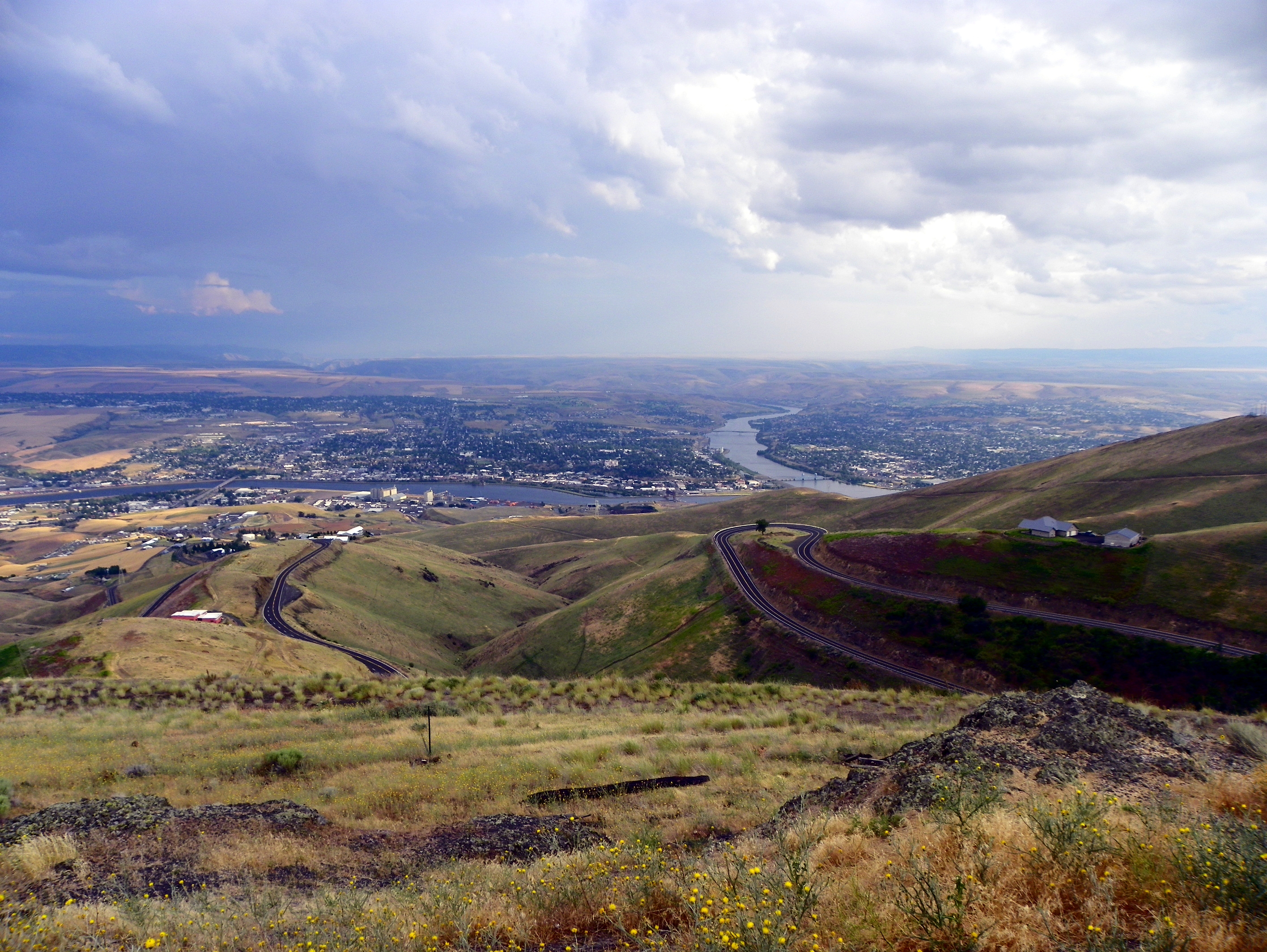
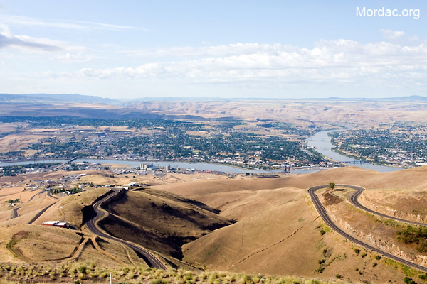
View of Lewiston, Idaho from Lewiston Hill

Letter "L" (Lewiston, Idaho), next to the Spiral Highway
Lewiston-Clarkston
Reach for the Sky
View from Coyote Gulch Rd.
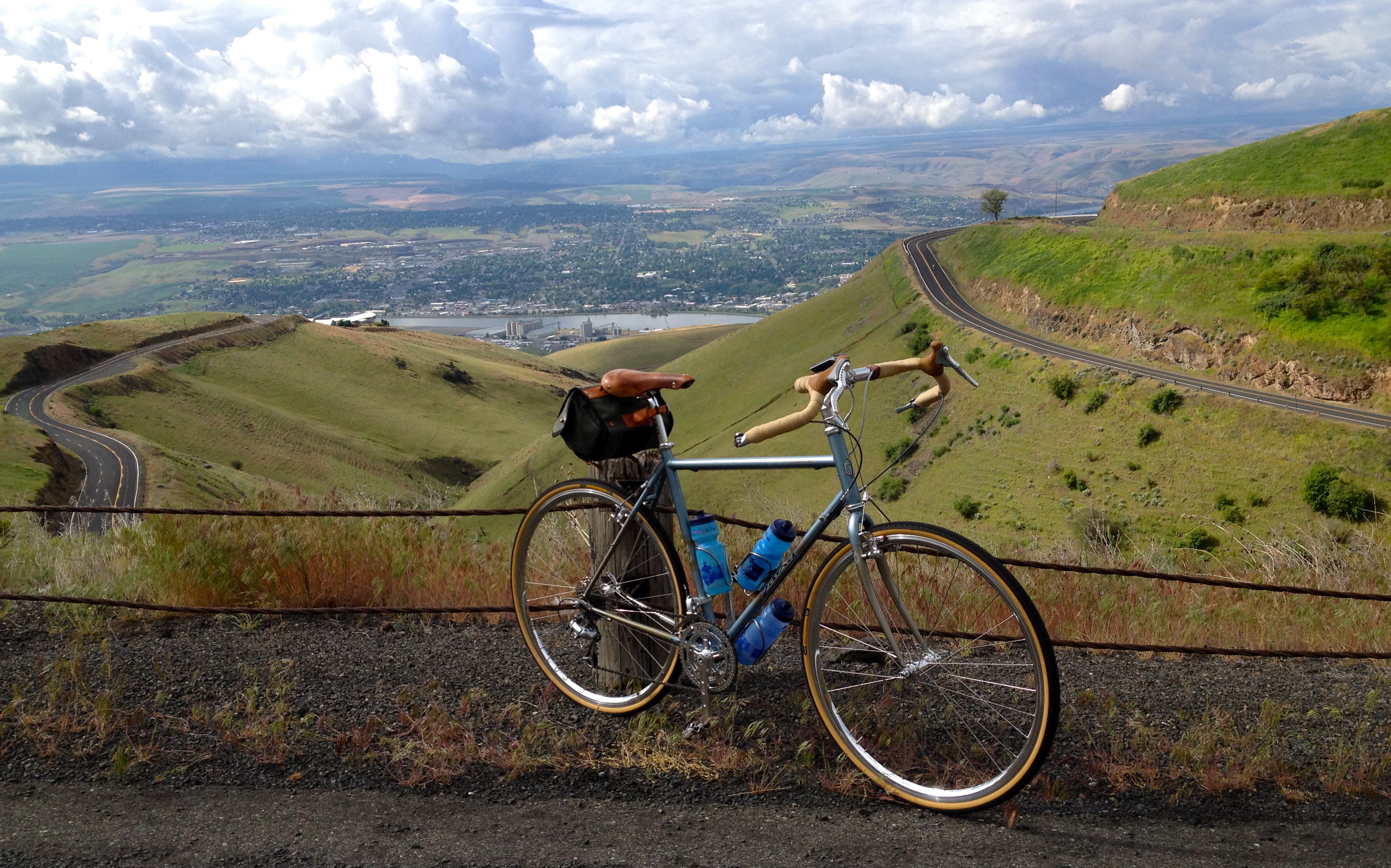
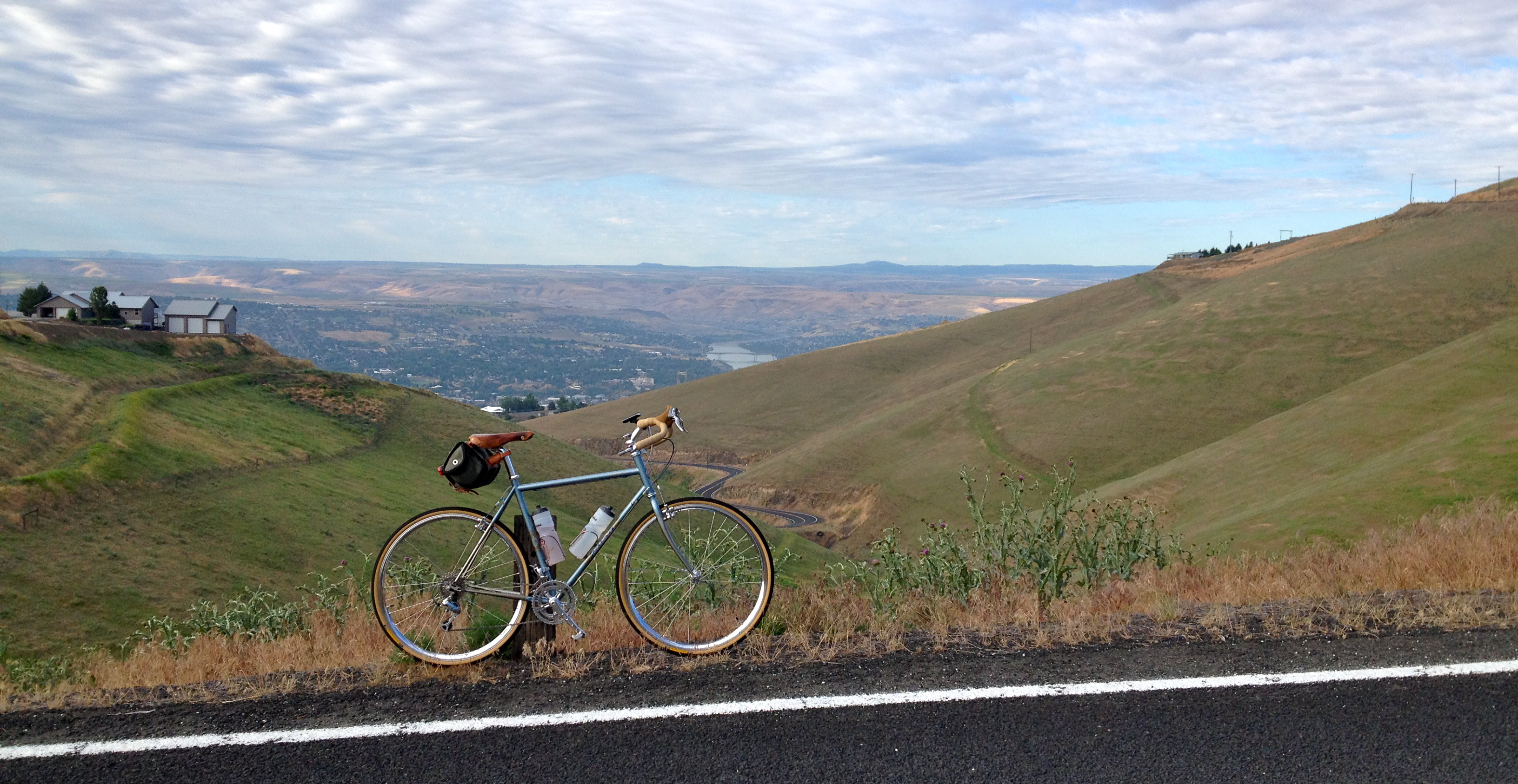
Saturday Morning Ride on the Spiral Hwy

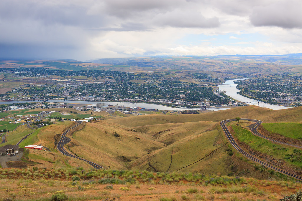
View from Lewiston Hill

D70-0801-061 - View
Morning walk
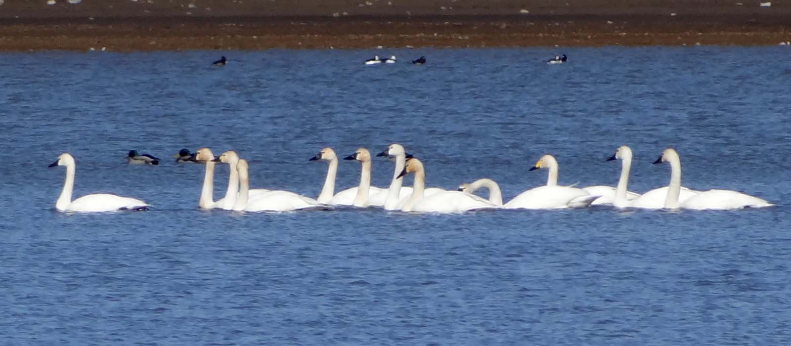
Mar4,2013f 116 Tundra Swan 11 + 1 Bewick's Swan

Old Carnegie Library (Lewiston, Idaho)
Have a View (in color)

Dock Boy takes a break....20050621_4096
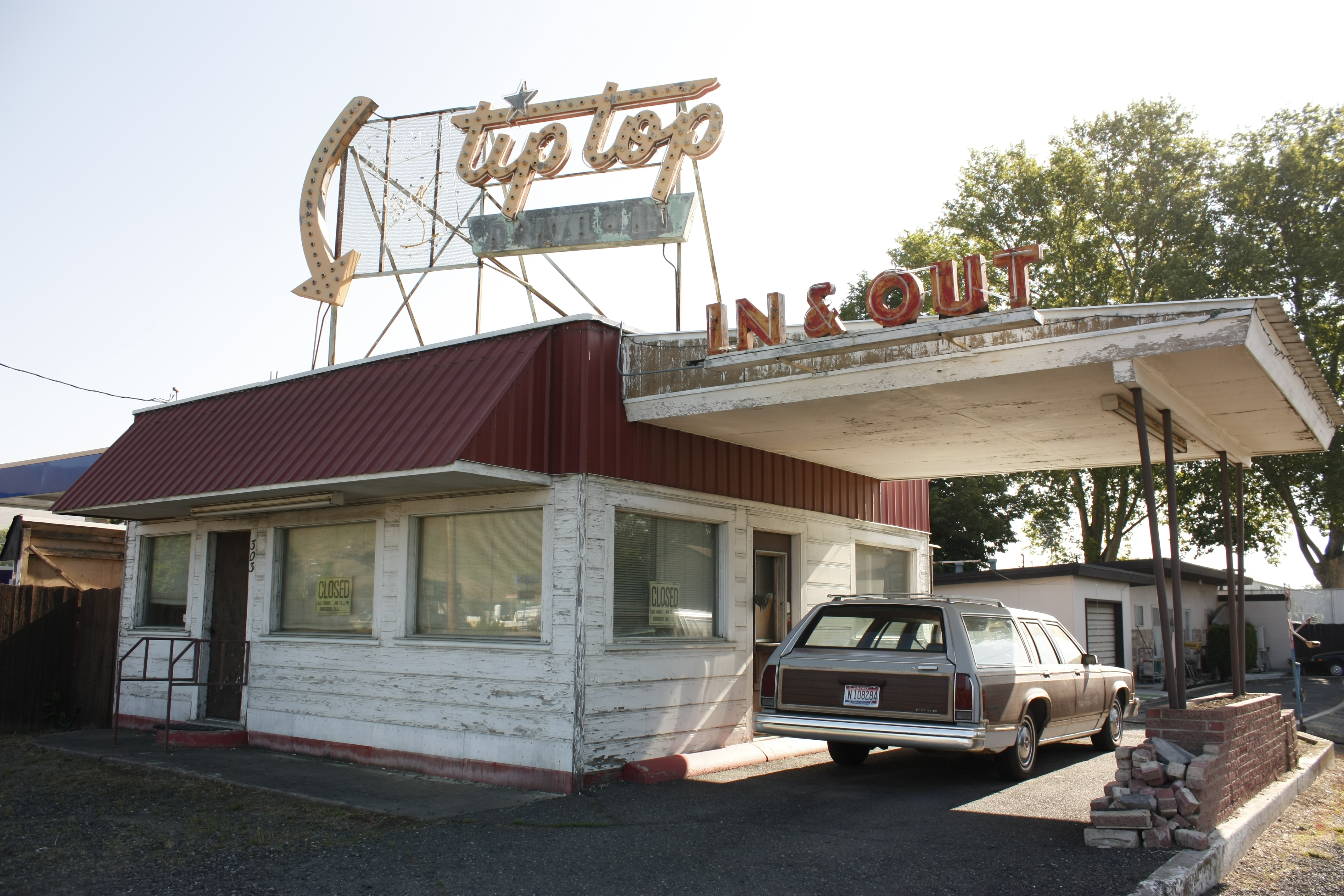
The Tip-Top drive-in
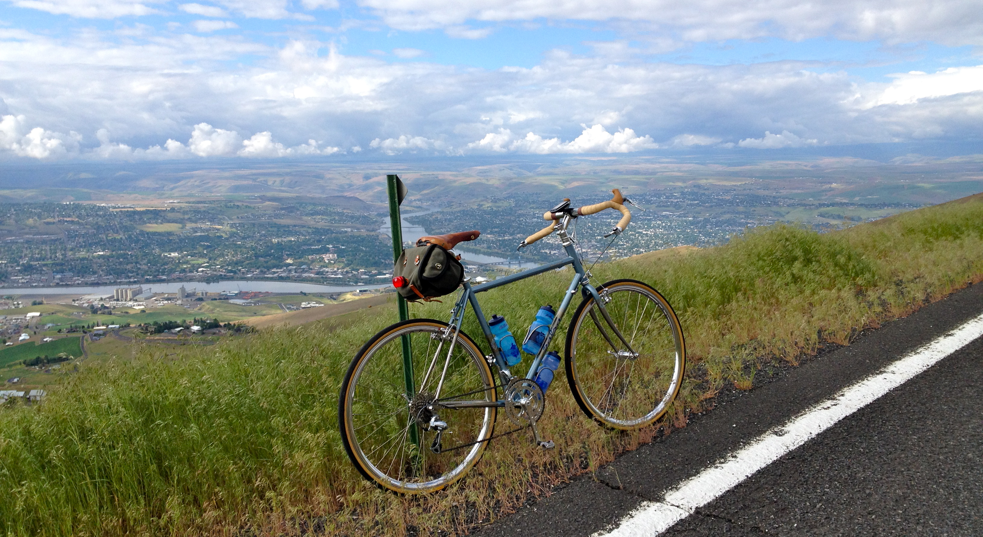
Saturday Morning Ride on the Spiral Hwy

1954 GMC 630 Truck
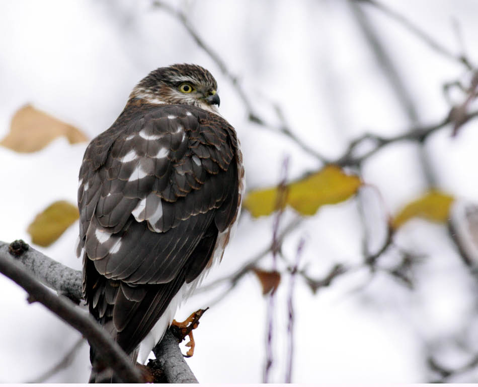
Sharp-shinned Hawk (juvenile, male)
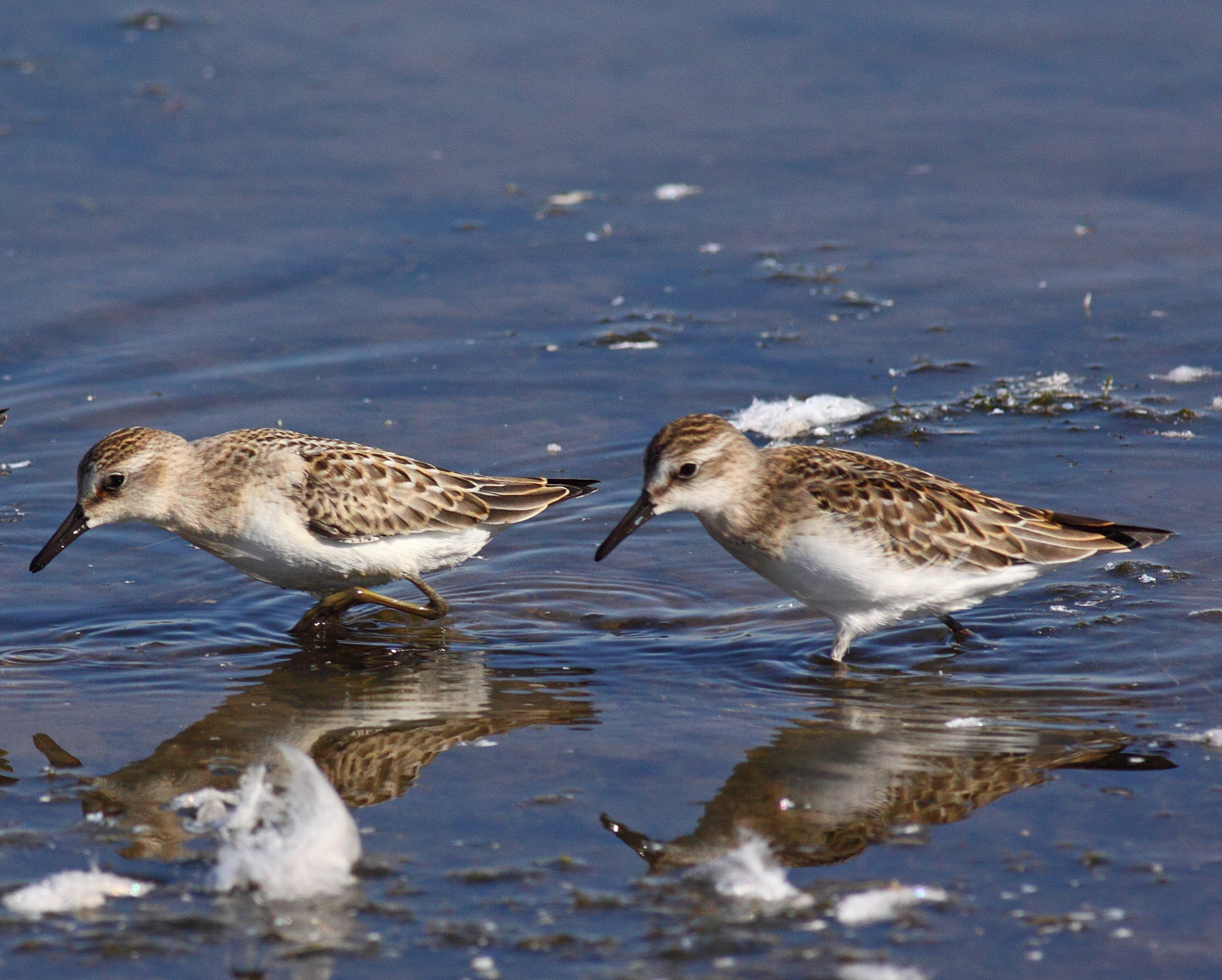
"peeps" ID Difficulties
RZ1411 - View Point 2

Willet and American Avocet
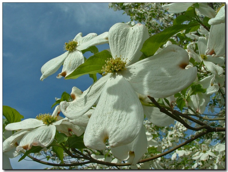
In Full Bloom
Lewiston, Idaho
Lewiston, Idaho

Glowing Sunset
Lewiston, Idaho
Yellow Rape Plant
Rape Field near Culdesac, Idaho
IMG_1846 (1)
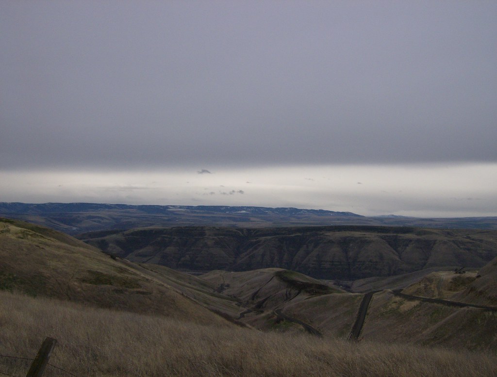
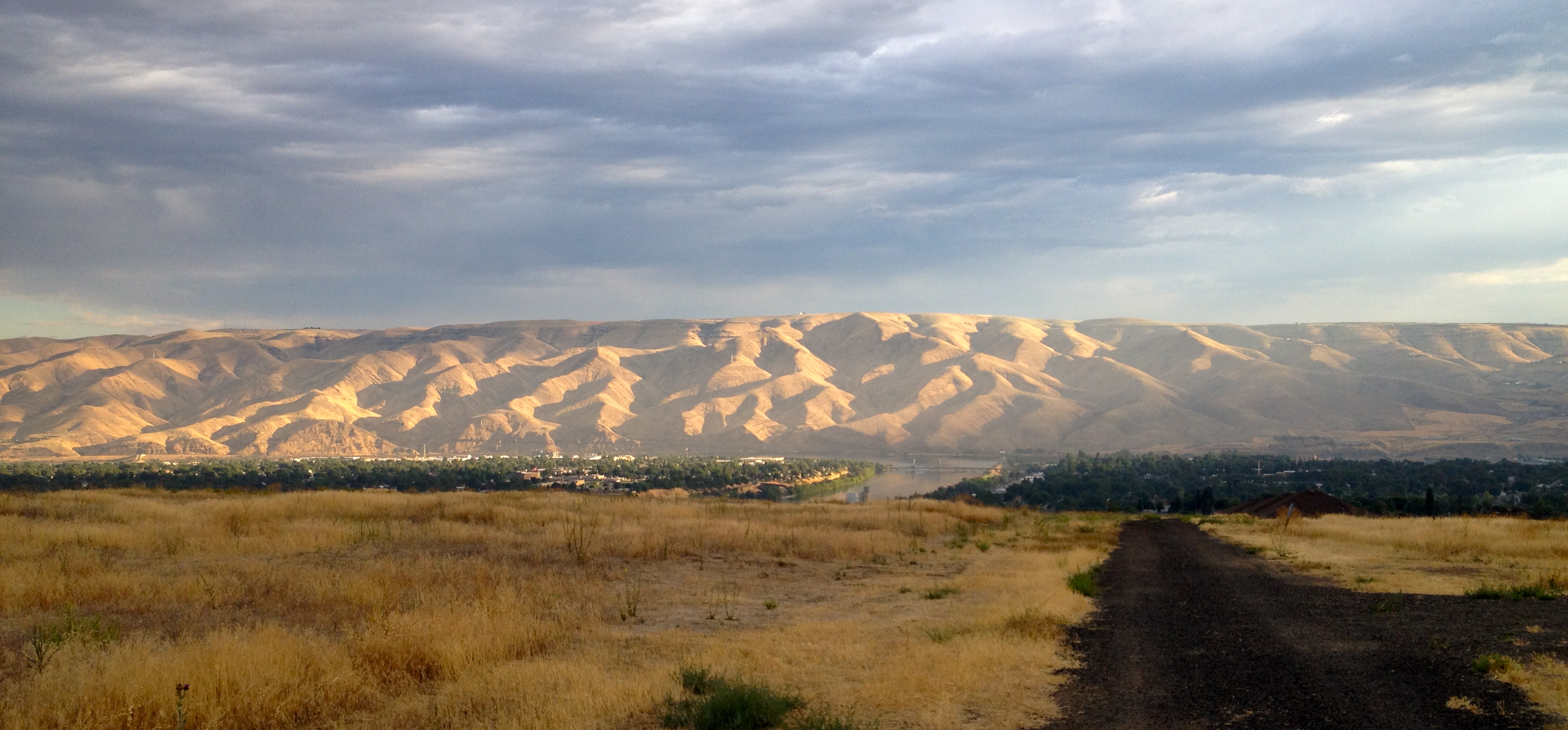
Plateau turns to desert, Lewiston
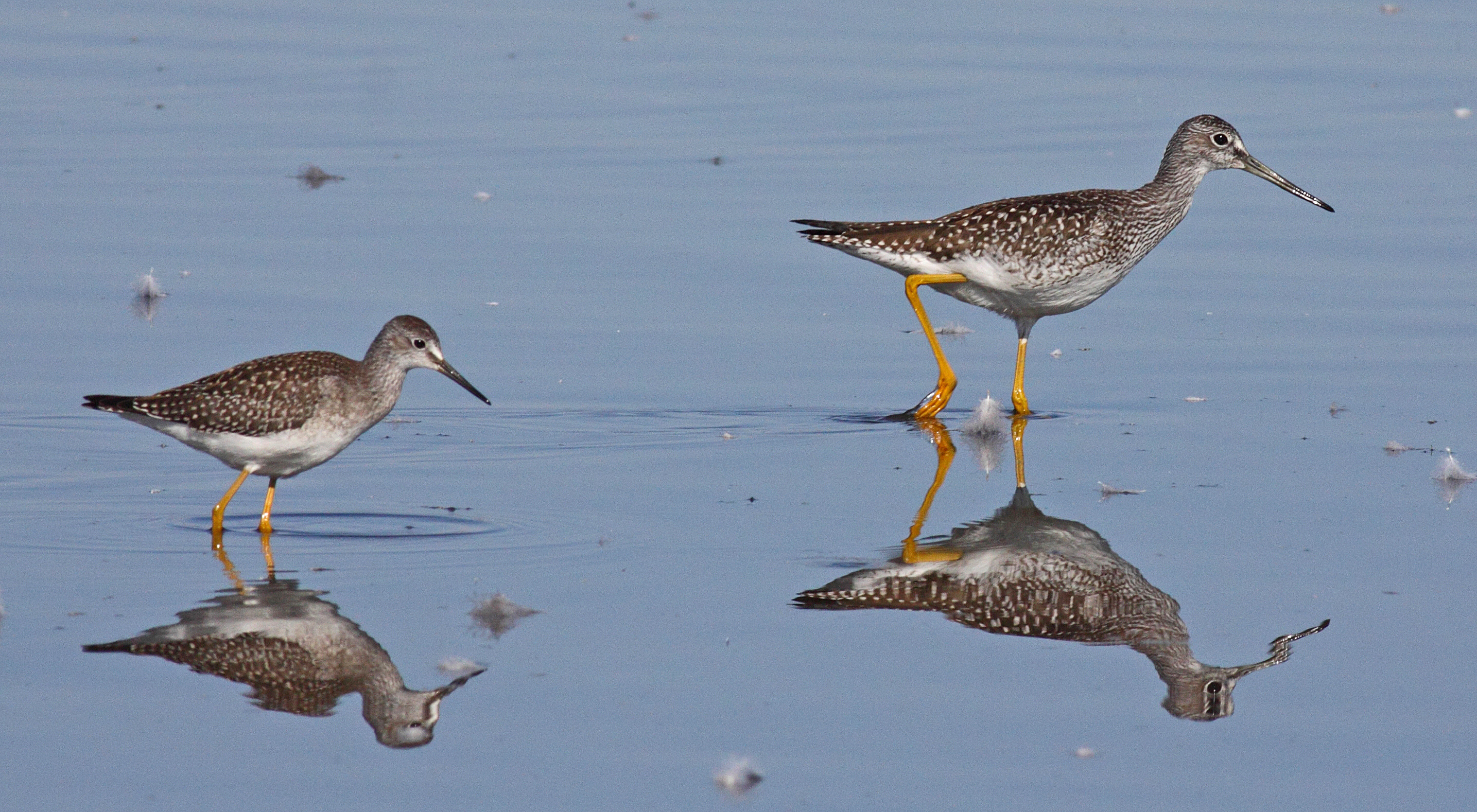
Yellowlegs Comparison
Old Spiral Highway
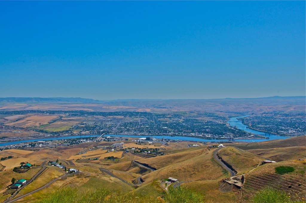
Looking down at Lewiston, Idaho
Sage Bakery Ride
Early Riser
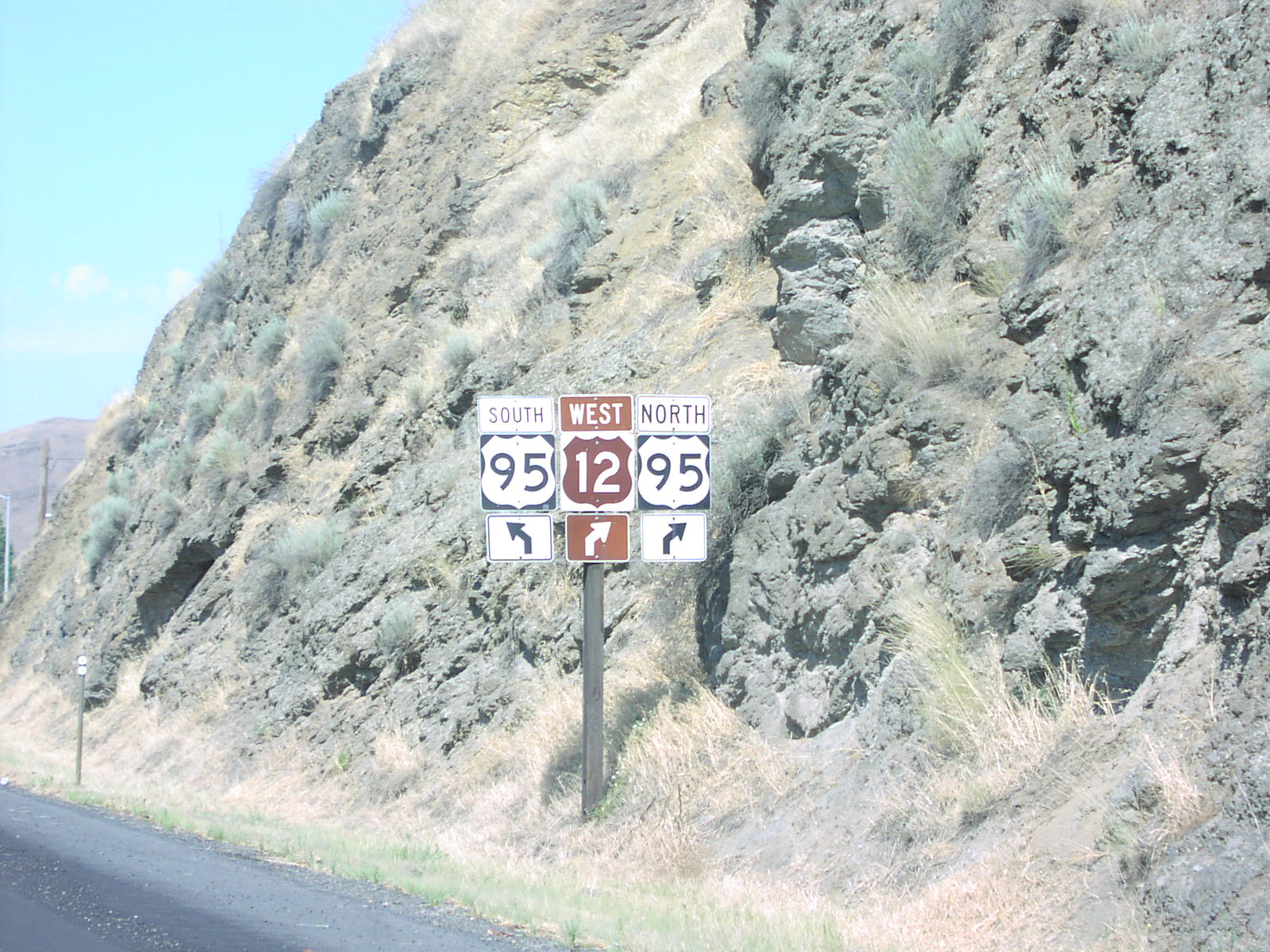
US-12 West at US-95
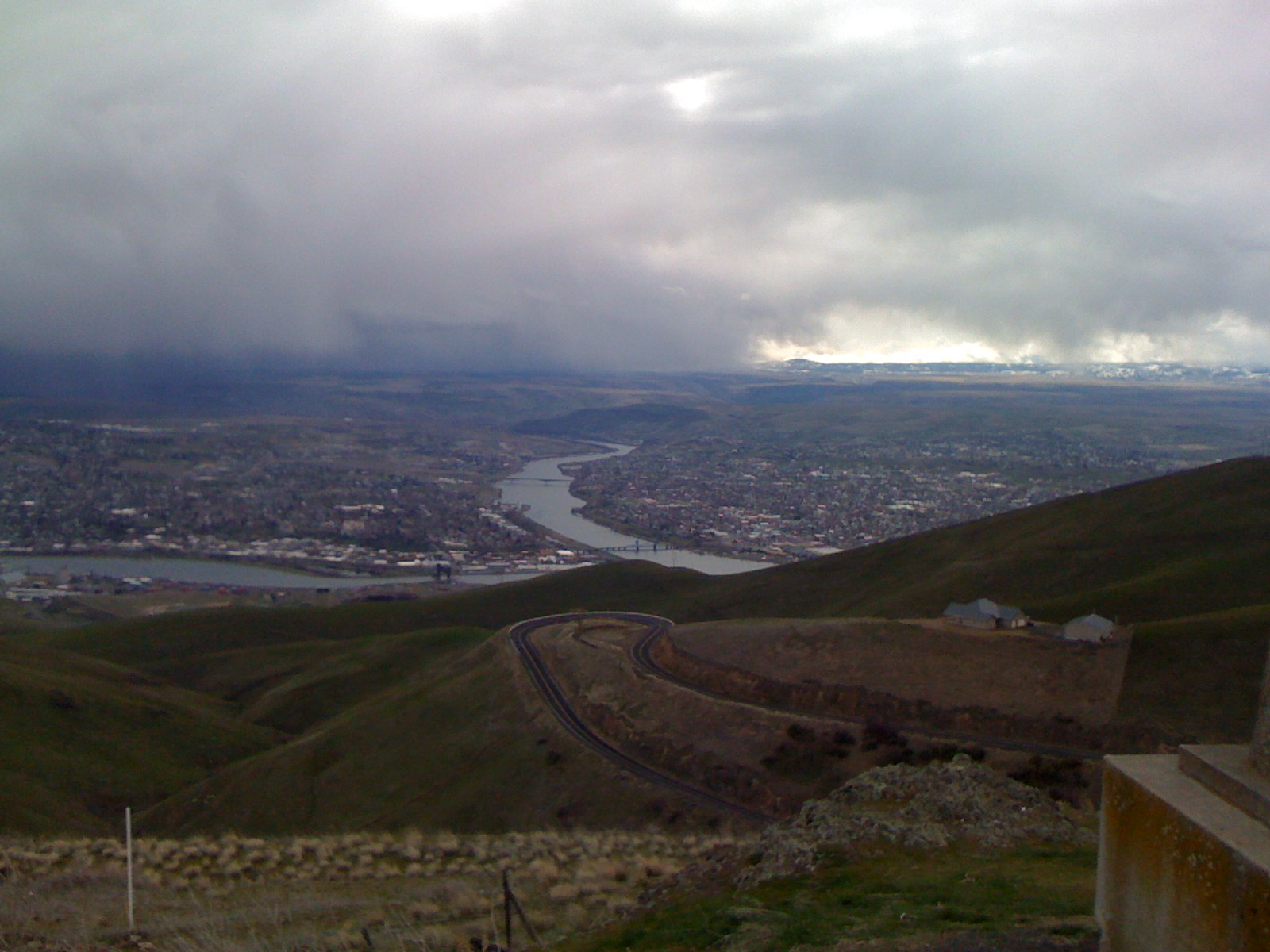
A Storm in Lewiston
Clearwater River
Topographic Map of Silver Dr, Spalding, ID, USA
Find elevation by address:

Places near Silver Dr, Spalding, ID, USA:
Spalding
Watson Store Rd, Lapwai, ID, USA
22144 Spirea Ln
Howard Gulch, Juliaetta, ID, USA
7105 Flyby Dr
Arrow Highline Road
1190 Bighorn Dr
Mill Rd, Lewiston, ID, USA
US-12, Juliaetta, ID, USA
15432 Evans Rd
225 E Oak Ave
Genesee
Camas Prairie
East Main Street
23748 Big Sky Ln
Idaho Street
Waffles N' More
Idaho St, Lewiston, ID, USA
828 Main St
712 10th Ave
Recent Searches:
- Elevation of N, Mt Pleasant, UT, USA
- Elevation of 6 Rue Jules Ferry, Beausoleil, France
- Elevation of Sattva Horizon, 4JC6+G9P, Vinayak Nagar, Kattigenahalli, Bengaluru, Karnataka, India
- Elevation of Great Brook Sports, Gold Star Hwy, Groton, CT, USA
- Elevation of 10 Mountain Laurels Dr, Nashua, NH, USA
- Elevation of 16 Gilboa Ln, Nashua, NH, USA
- Elevation of Laurel Rd, Townsend, TN, USA
- Elevation of 3 Nestling Wood Dr, Long Valley, NJ, USA
- Elevation of Ilungu, Tanzania
- Elevation of Yellow Springs Road, Yellow Springs Rd, Chester Springs, PA, USA