Elevation map of Nez Perce County, ID, USA
Location: United States > Idaho >
Longitude: -116.62287
Latitude: 46.4181814
Elevation: 736m / 2415feet
Barometric Pressure: 93KPa
Elevation Map:
Satellite Map:
Related Photos:

D70-0801-061 - View
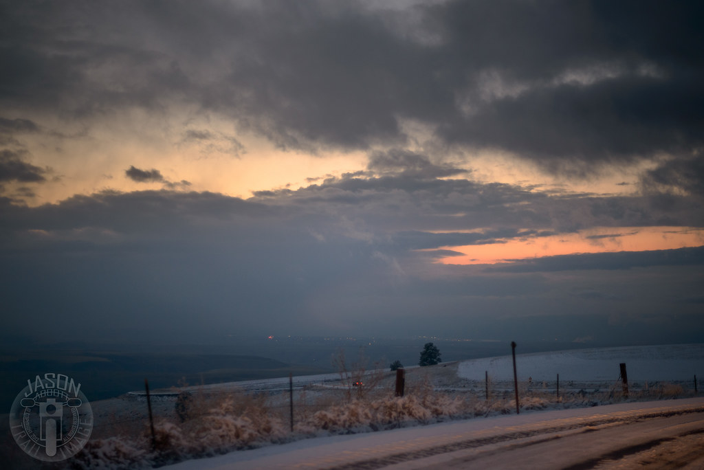
Lewiston from Winchester Grade
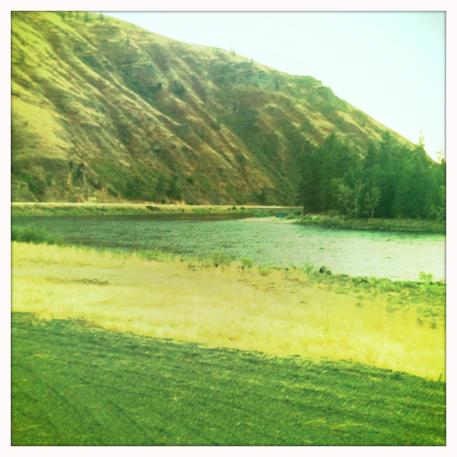
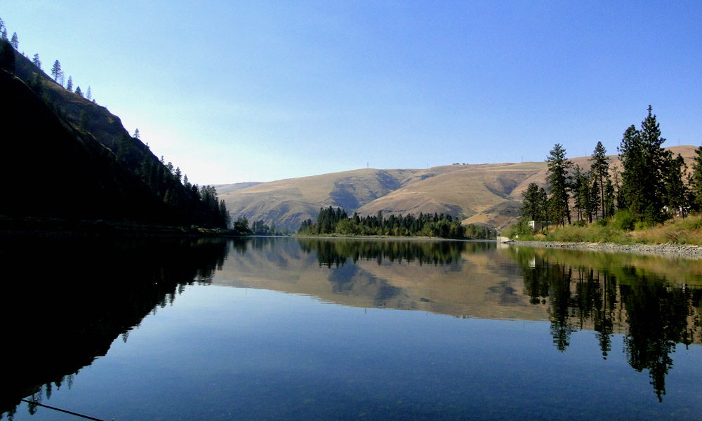
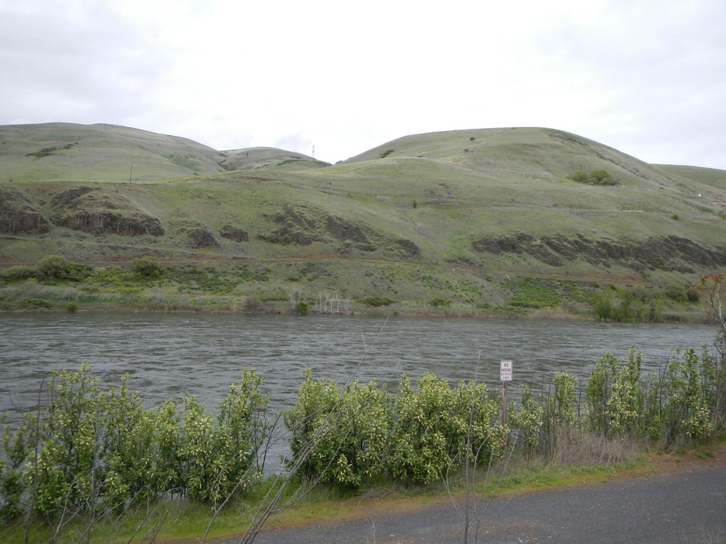
Clearwater River Canyon

In Full Bloom
Looks Like A Good Spot To Camp!
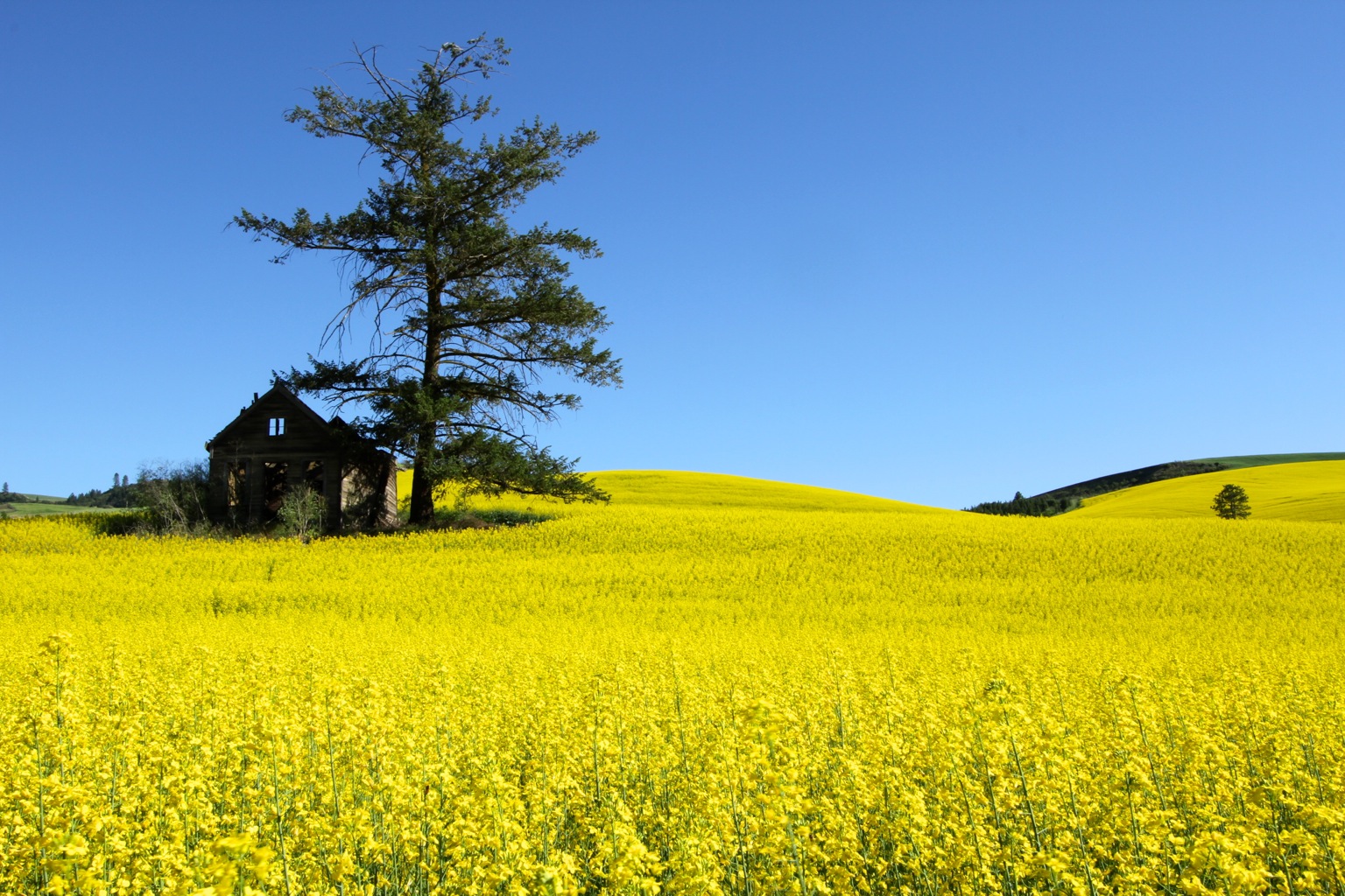
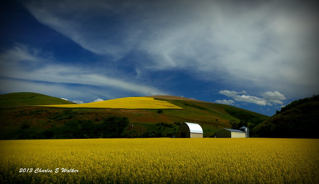
Rape Field near Culdesac, Idaho
Yellow Rape Plant
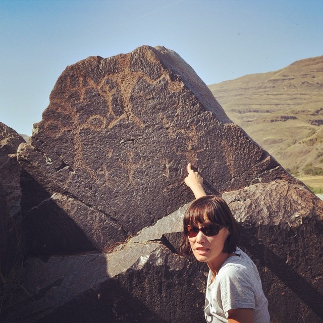
Look, #petroglyphs!
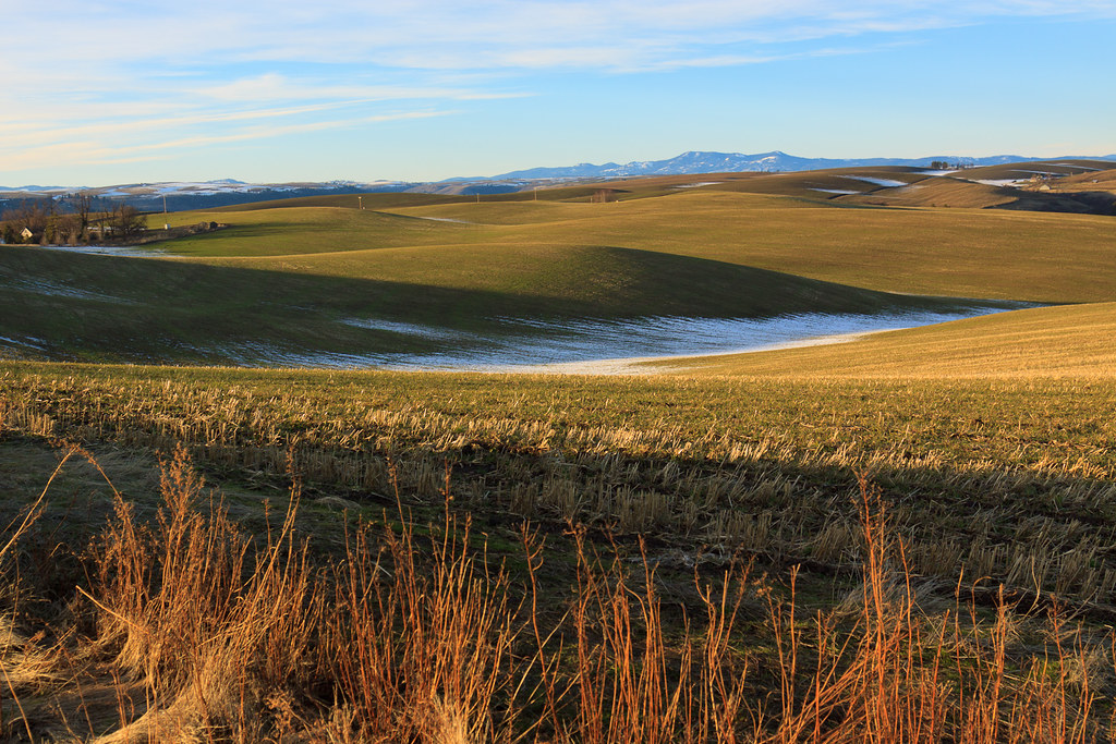
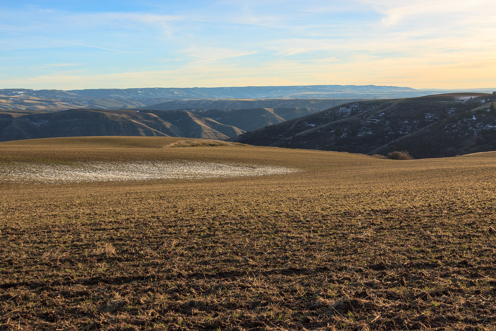
A little Palouse?
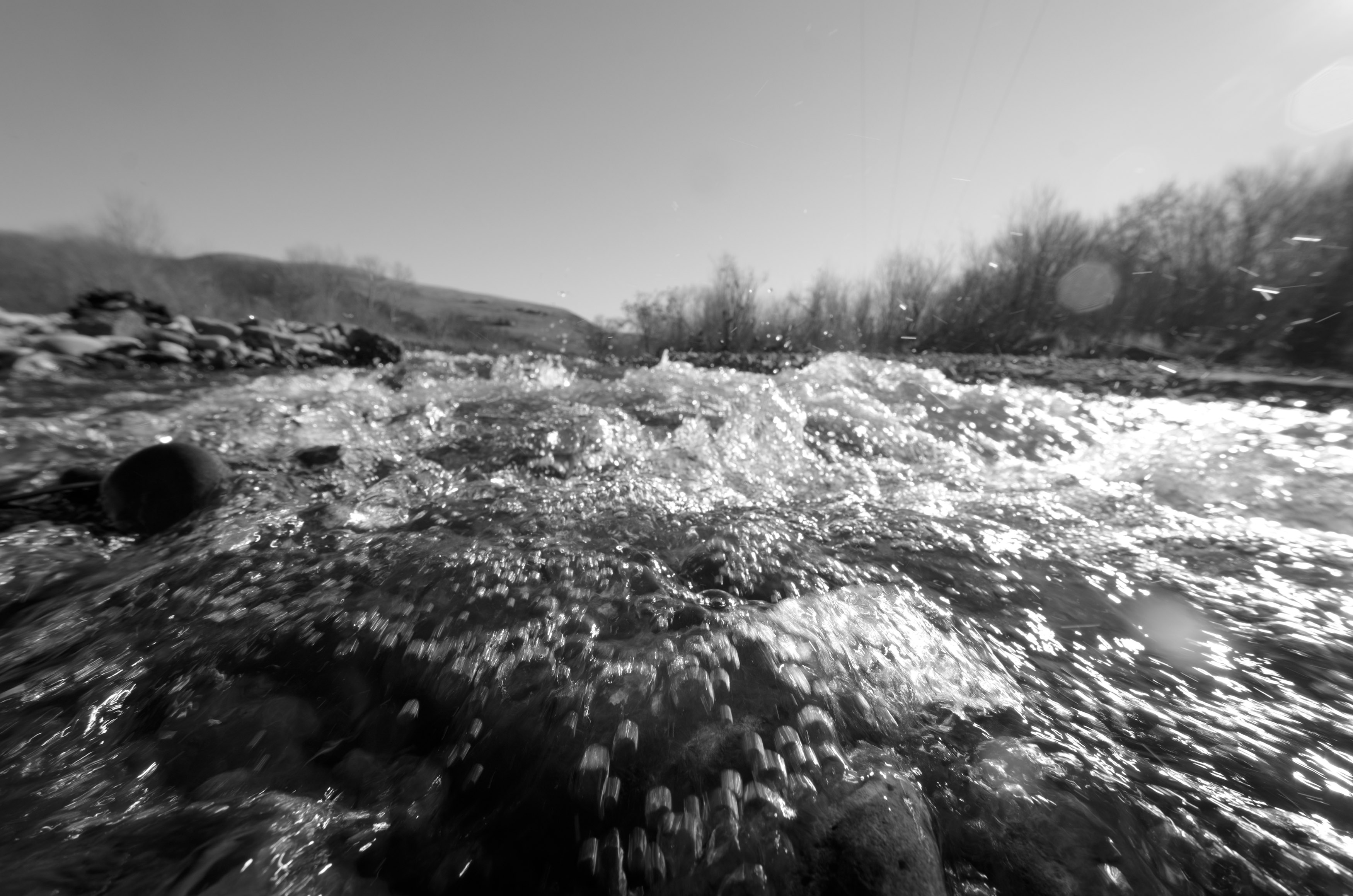
Splash!
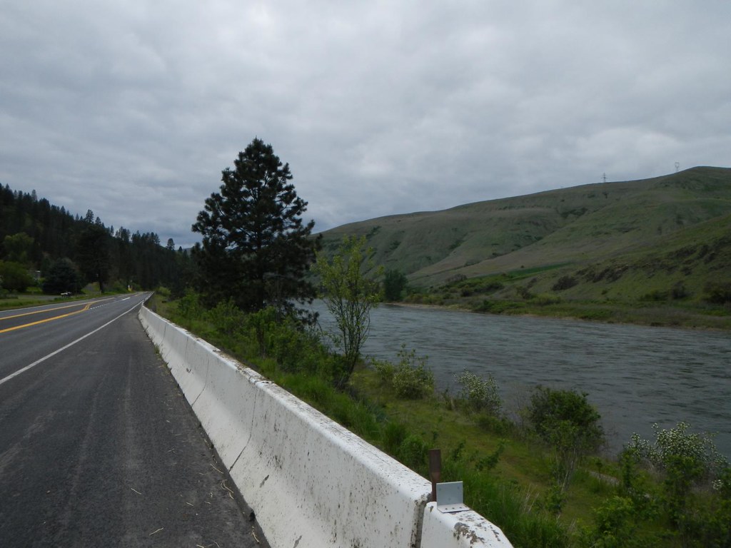
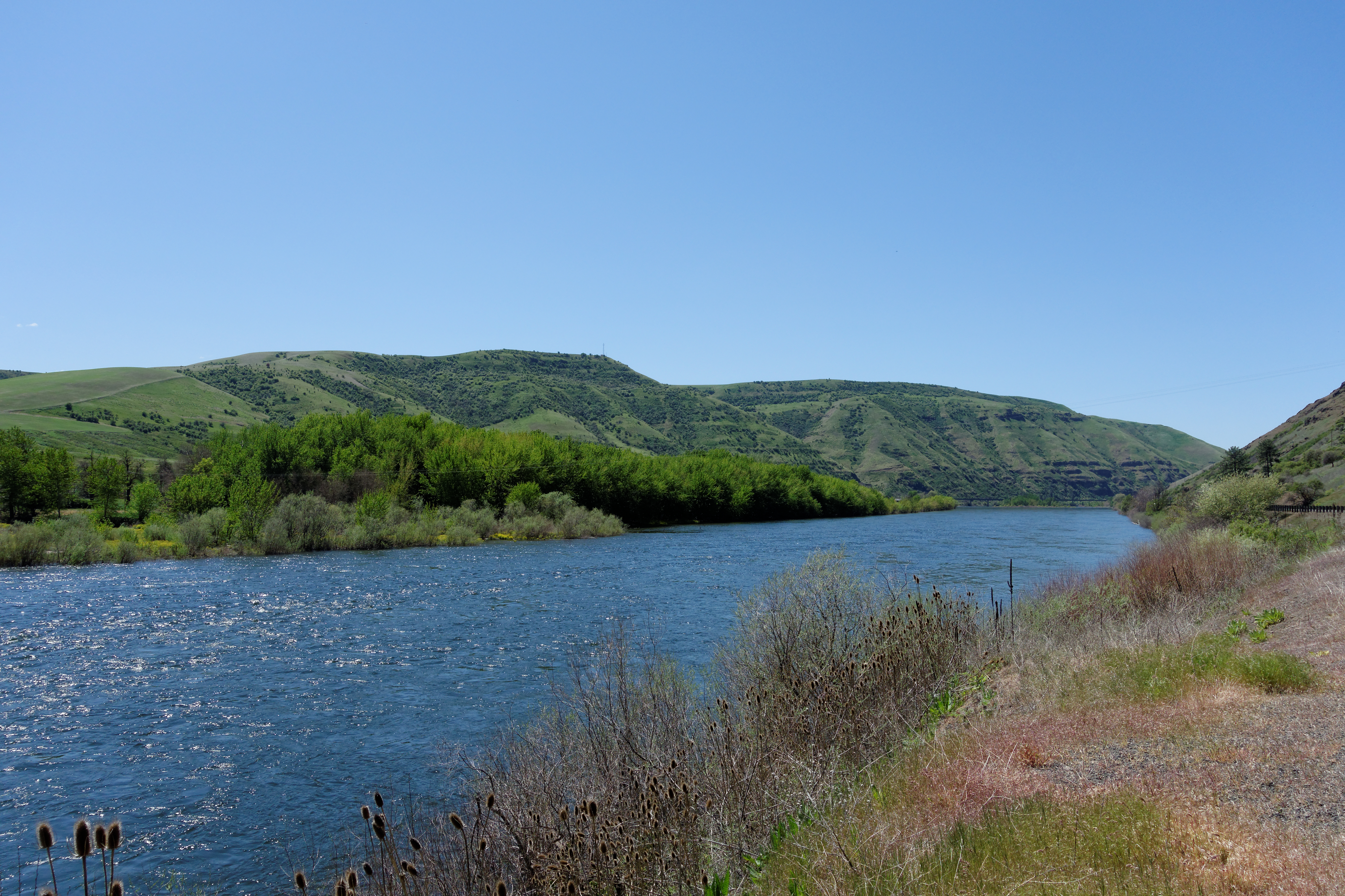
Scenic Clearwater River near Cherry Lane
Everyday for 7 Weeks–Day 4–Missoula to Coeur d'Alene
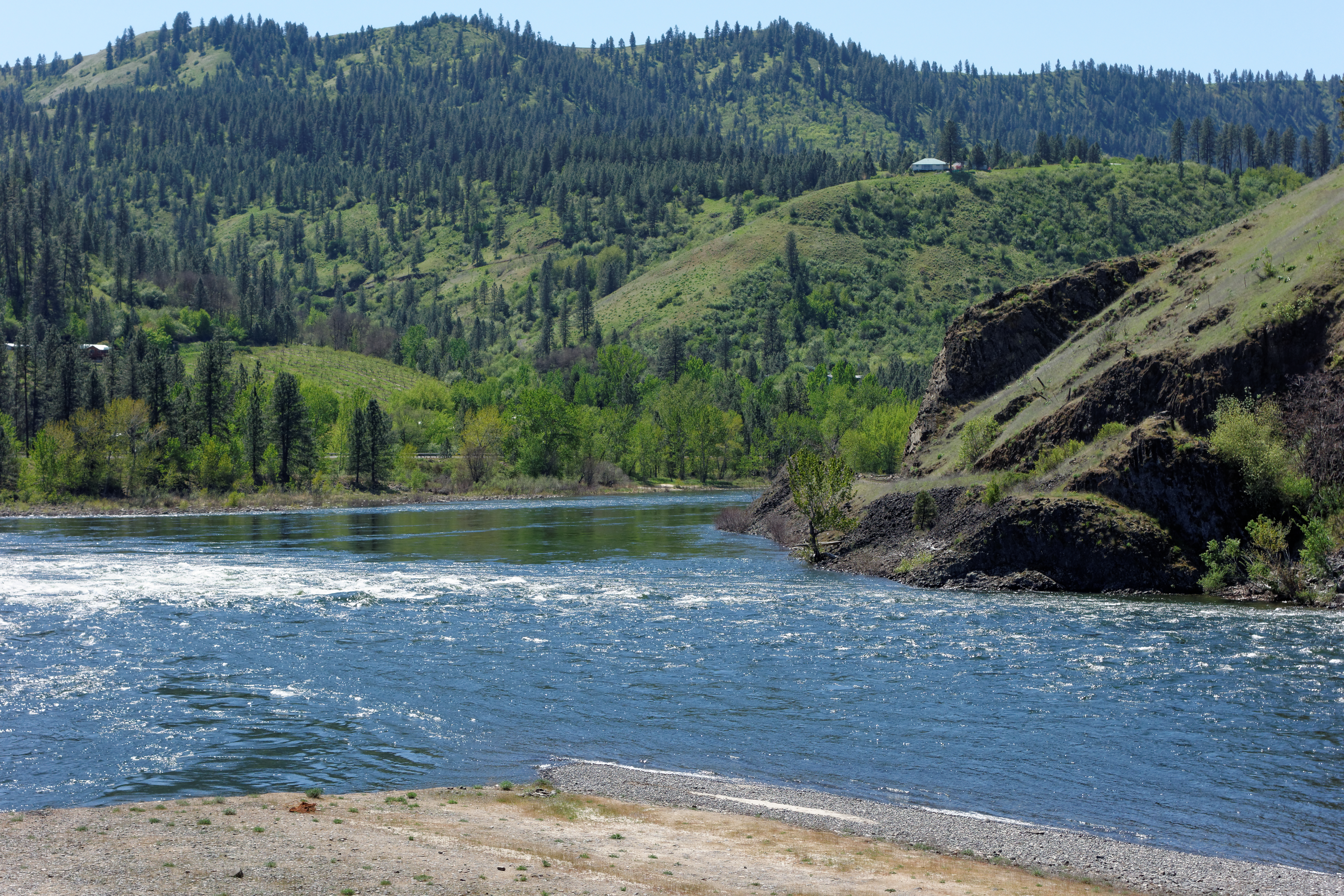
Clearwater River

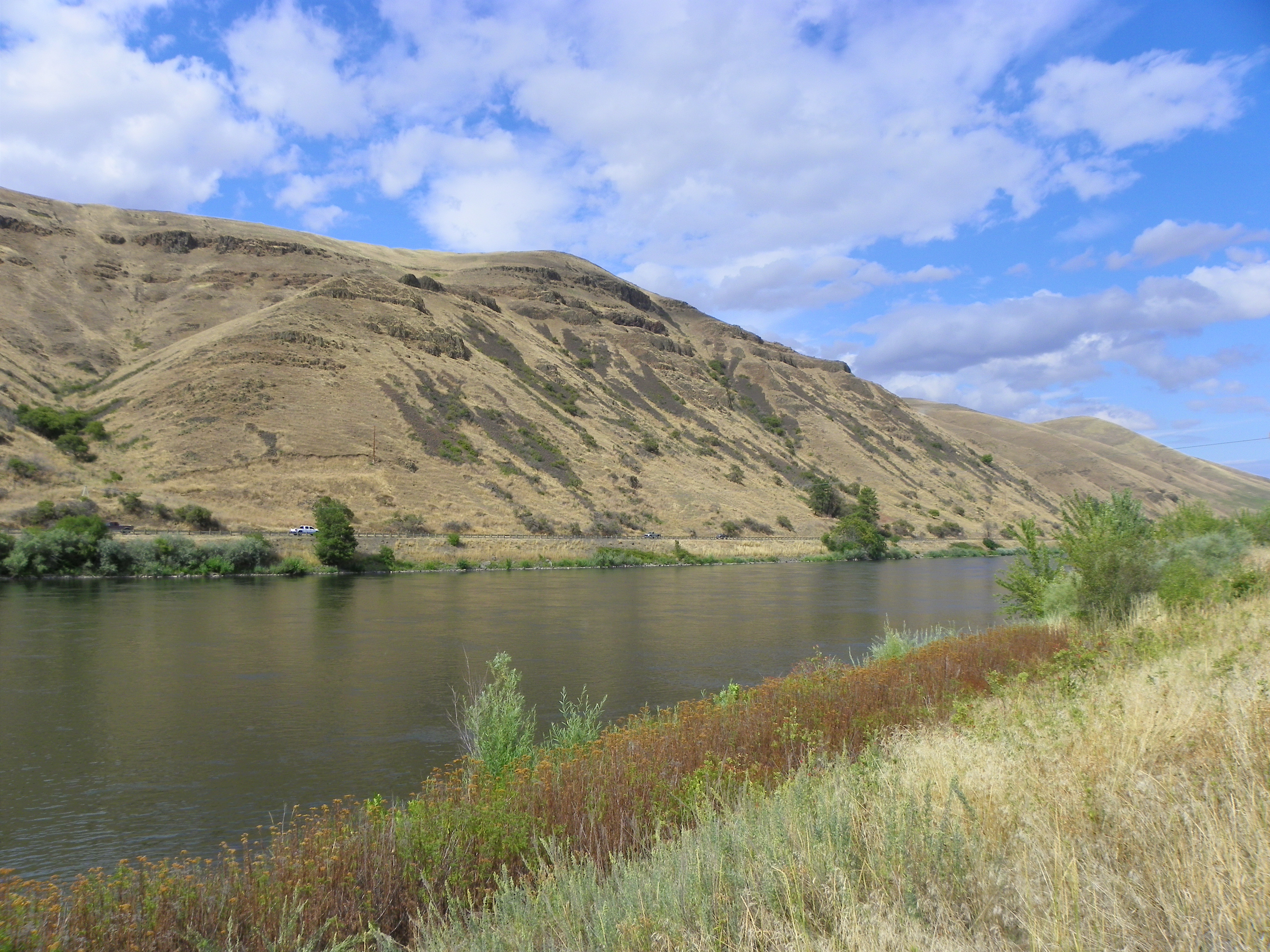
DSC05568 Clearwater River, Idaho
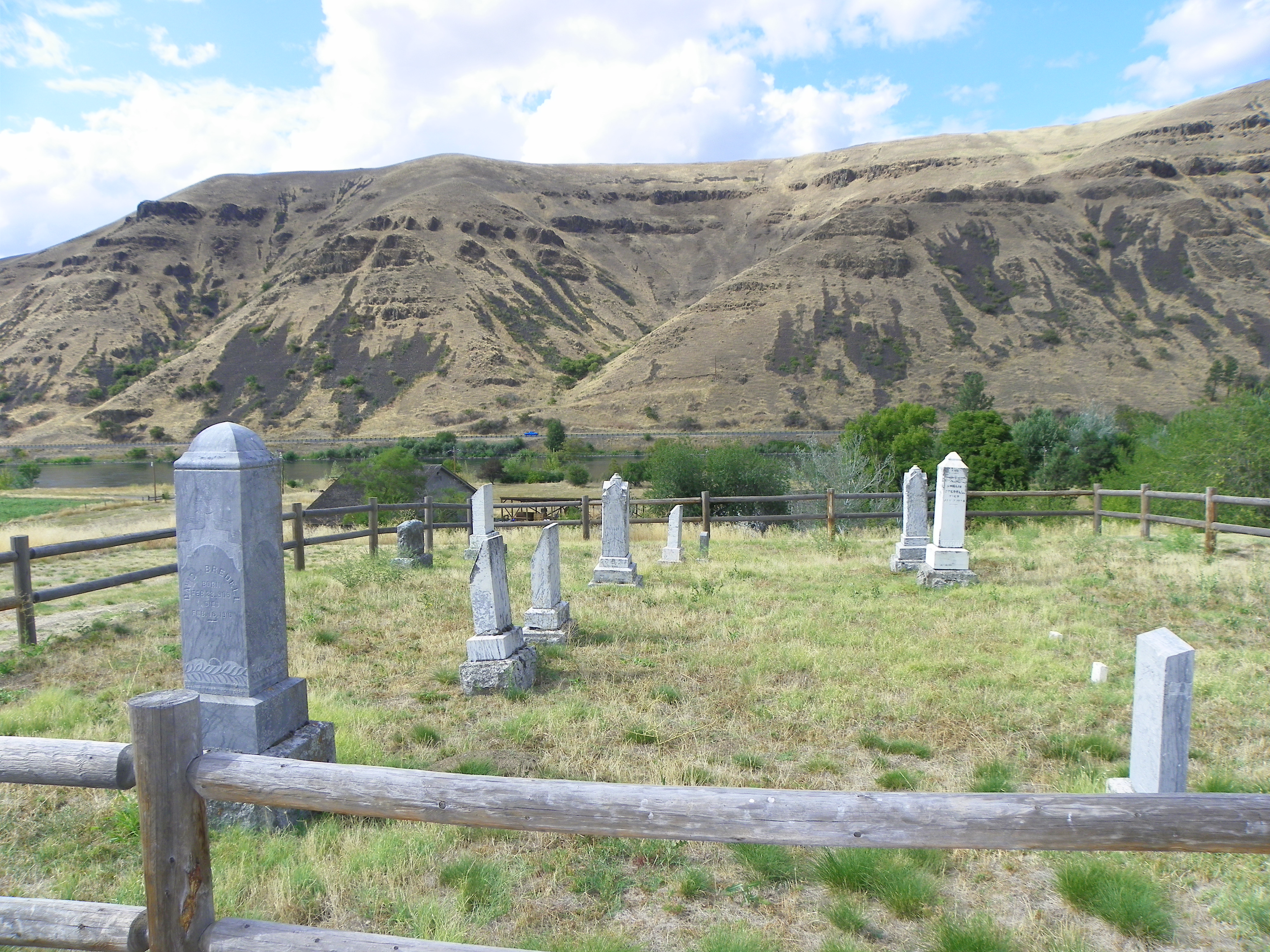
Historic Bredell Family Cemetery

Great tree
DSC05570 Clearwater River at Lenore
DSC05566 Clearwater River, Idaho

photo.JPG
Everyday for 7 Weeks–Day 4–Missoula to Coeur d'Alene
Topographic Map of Nez Perce County, ID, USA
Find elevation by address:

Places in Nez Perce County, ID, USA:
Lewiston
Juliaetta
Lapwai
Kendrick
Culdesac
Lenore
Peck
Spalding
Lenore Grade, Lenore, ID, USA
Wheat Ln, Culdesac, ID, USA
Waha
Places near Nez Perce County, ID, USA:
35971 Kettenbach Grade
1st St, Lenore, ID, USA
Agatha
River Rd, Lenore, ID, USA
River Road
Cherrylane Rd, Juliaetta, ID, USA
Lenore Grade, Lenore, ID, USA
Lenore
River Road
Ryegrass Ln, Lenore, ID, USA
33005 Leland Rd
33005 Leland Rd
Melrose Rd, Peck, ID, USA
337 Lynn St
Juliaetta
505 3rd St
River Point Lane
Peck
N Park St, Peck, ID, USA
Old Peck Grade
Recent Searches:
- Elevation of Corso Fratelli Cairoli, 35, Macerata MC, Italy
- Elevation of Tallevast Rd, Sarasota, FL, USA
- Elevation of 4th St E, Sonoma, CA, USA
- Elevation of Black Hollow Rd, Pennsdale, PA, USA
- Elevation of Oakland Ave, Williamsport, PA, USA
- Elevation of Pedrógão Grande, Portugal
- Elevation of Klee Dr, Martinsburg, WV, USA
- Elevation of Via Roma, Pieranica CR, Italy
- Elevation of Tavkvetili Mountain, Georgia
- Elevation of Hartfords Bluff Cir, Mt Pleasant, SC, USA