Elevation of Agatha, ID, USA
Location: United States > Idaho > Nez Perce County > Lenore >
Longitude: -116.57681
Latitude: 46.510728
Elevation: 277m / 909feet
Barometric Pressure: 98KPa
Elevation Map:
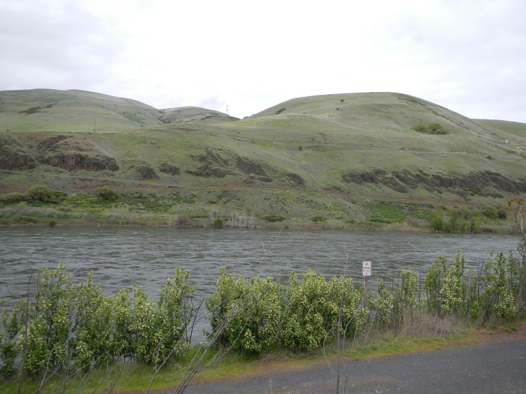
Satellite Map:
Related Photos:
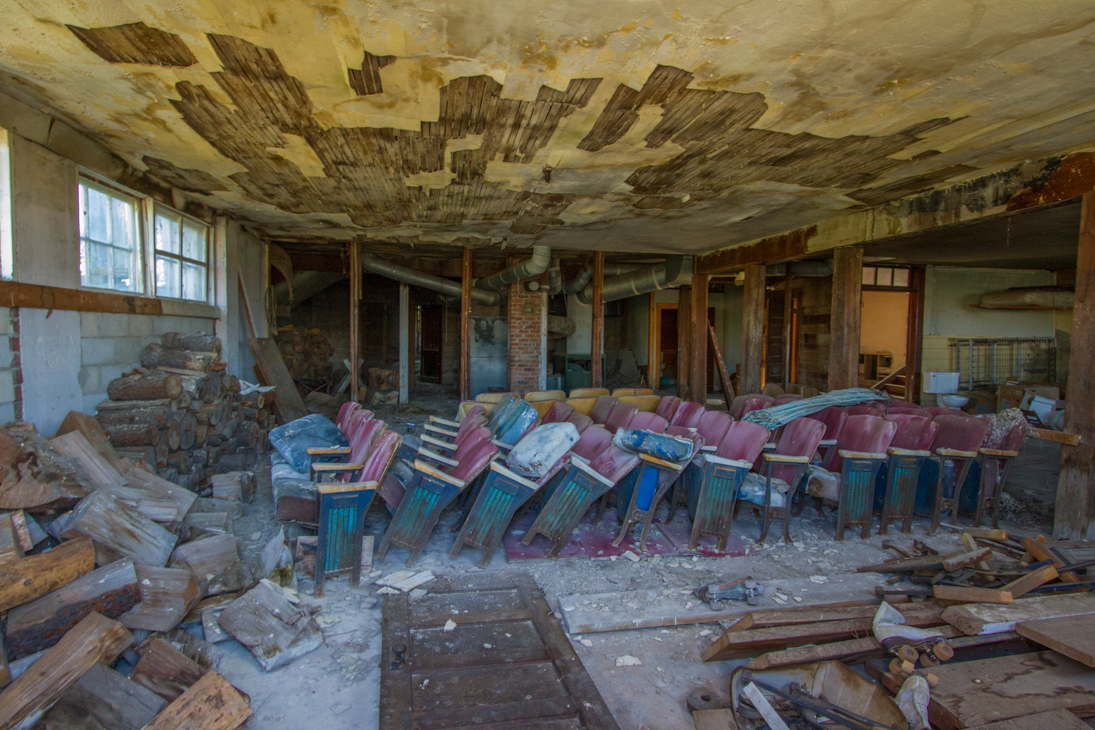
Leland School - Basement
Kendrick and Juliaetta
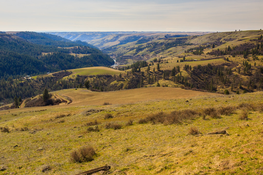
Potlatch River Canyon
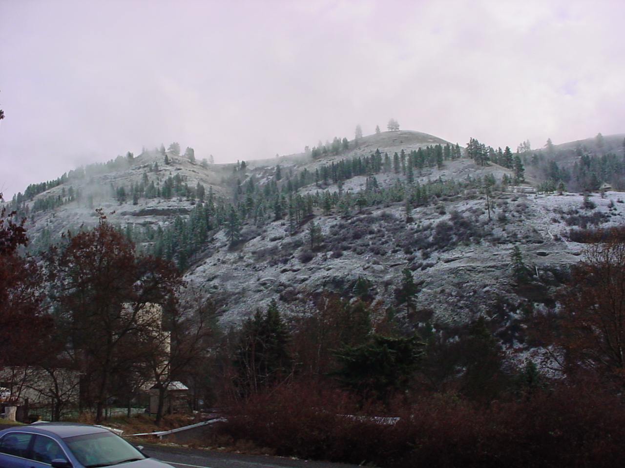
Clearwater River Canyon
LatahLibrary365-20071201-D
LatahLibrary365-20071201-E
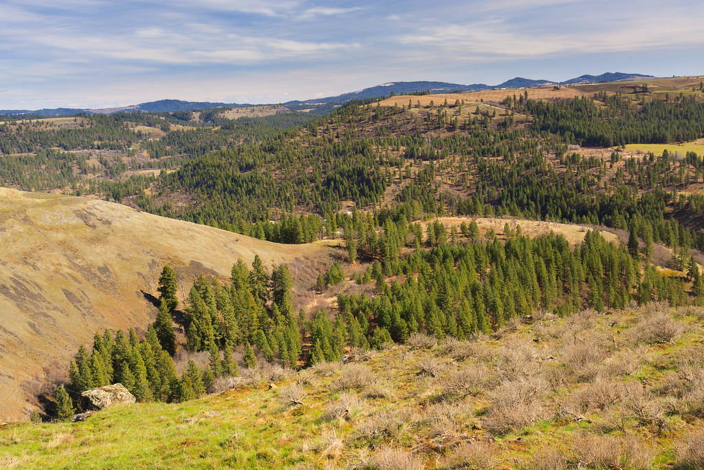
Cedar Creek Canyon
Looks Like A Good Spot To Camp!
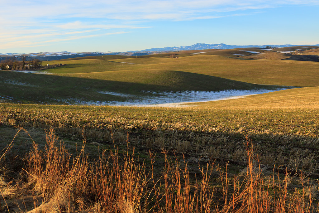
A little Palouse?
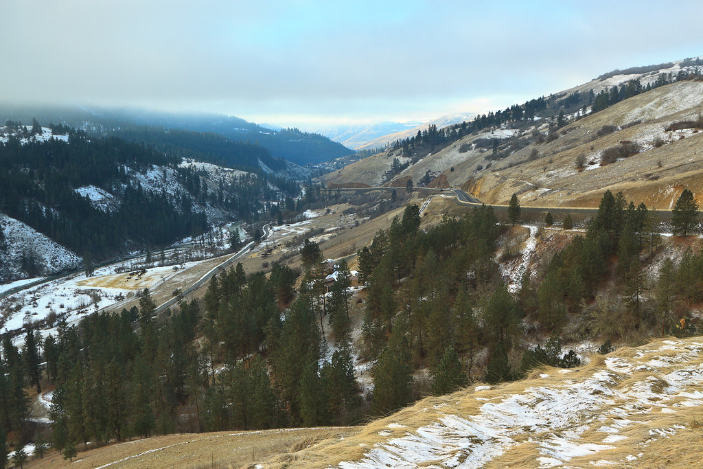
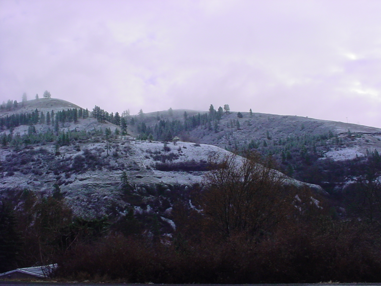
Potlatch River Canyon
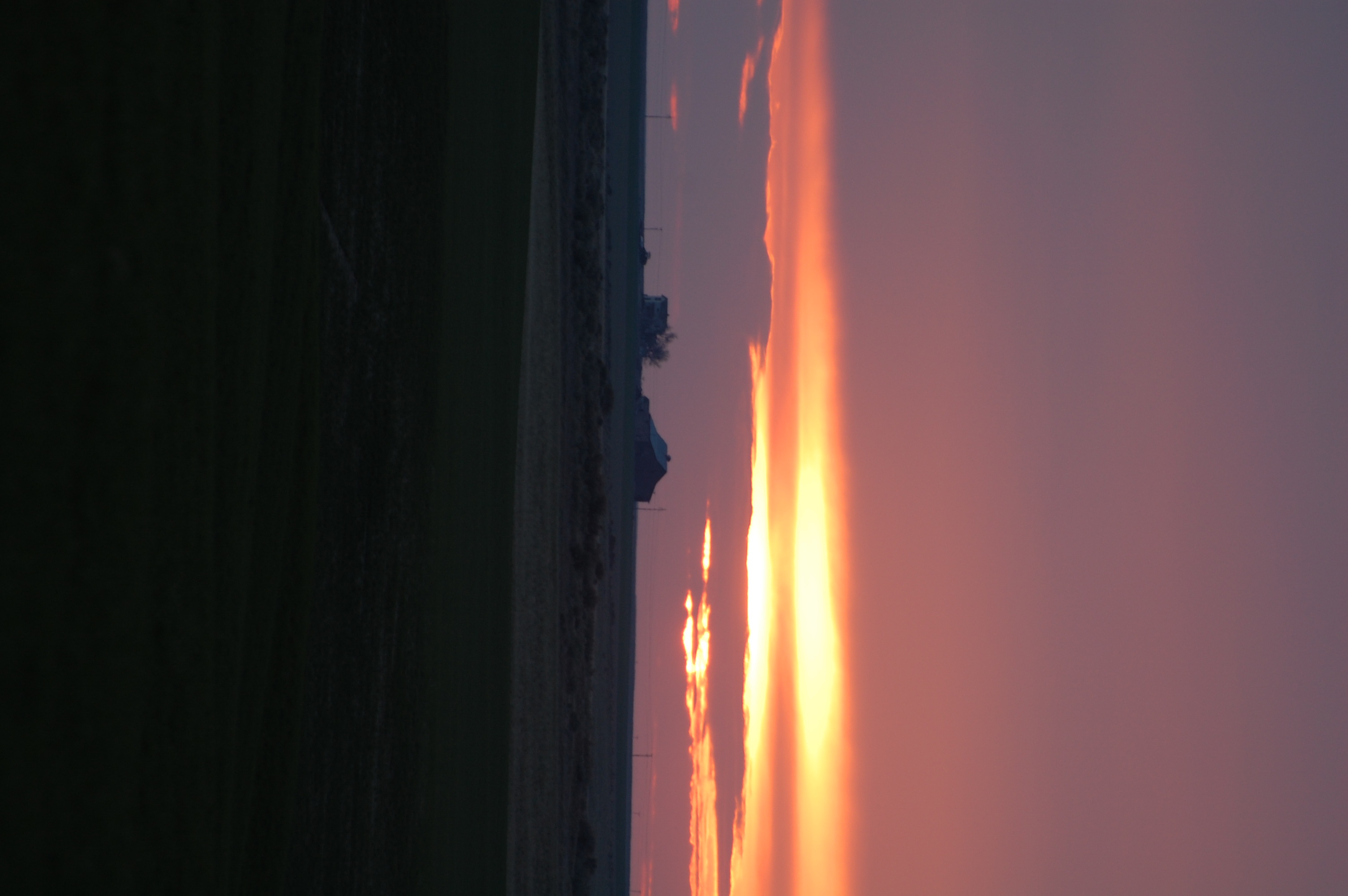
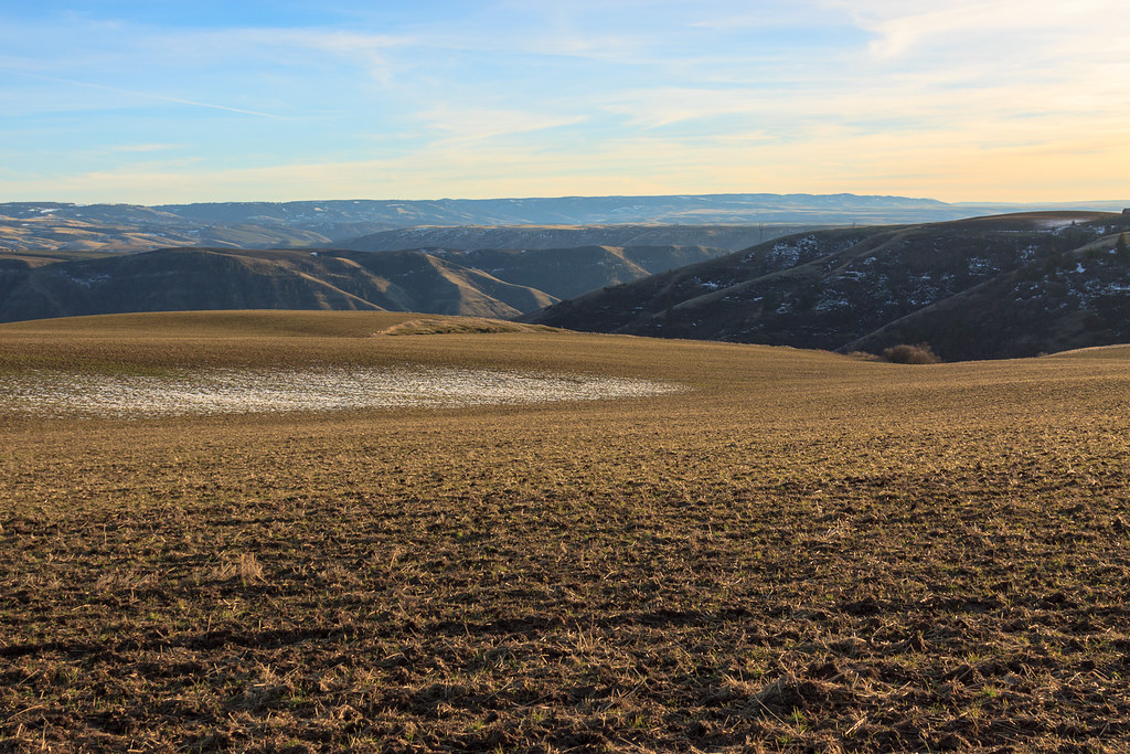
Perfect end to the day
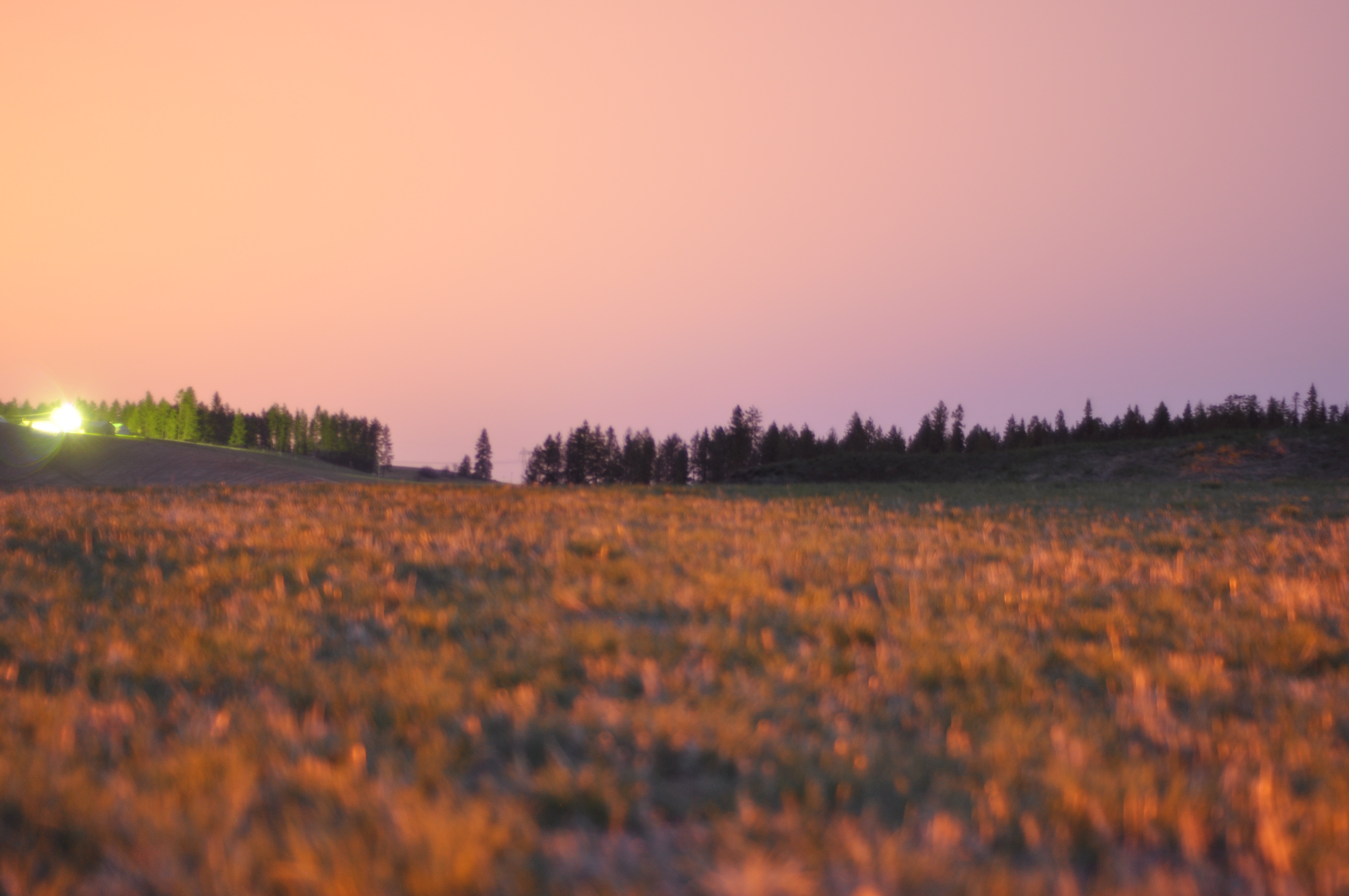
Long exposures, pre-sunrise
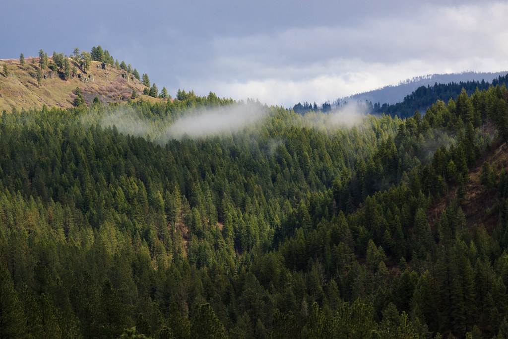
Teakean Butte
Scenic Clearwater River near Cherry Lane
Everyday for 7 Weeks–Day 4–Missoula to Coeur d'Alene
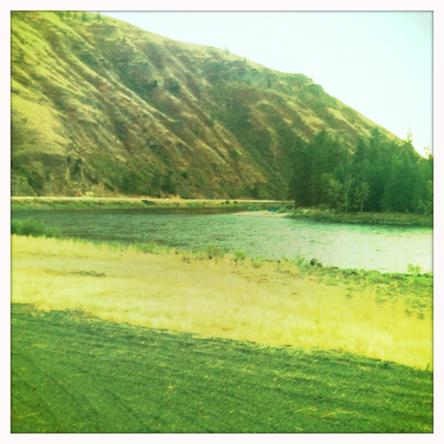
DSC05570 Clearwater River at Lenore
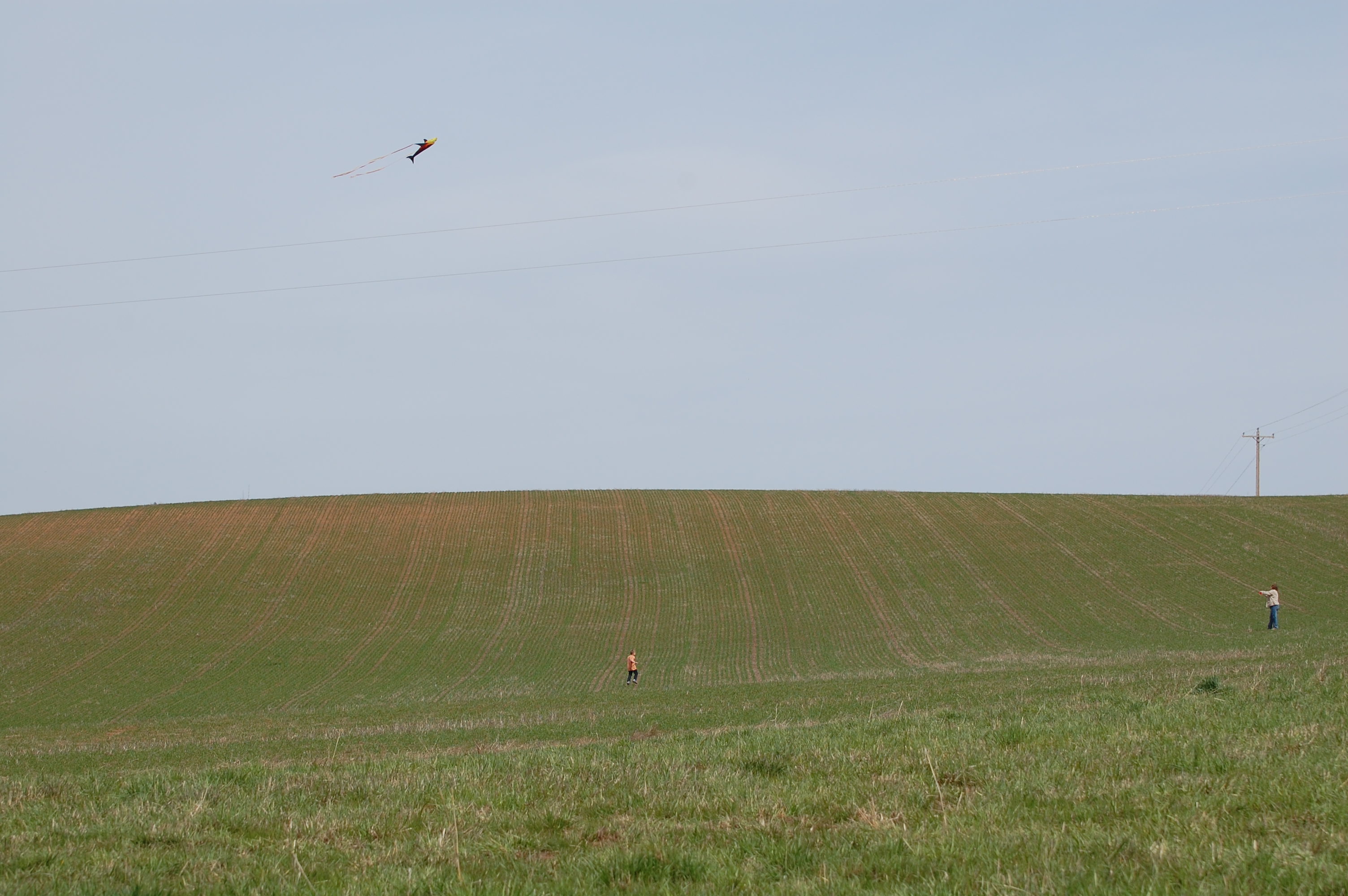
Flying kites was also on the agenda
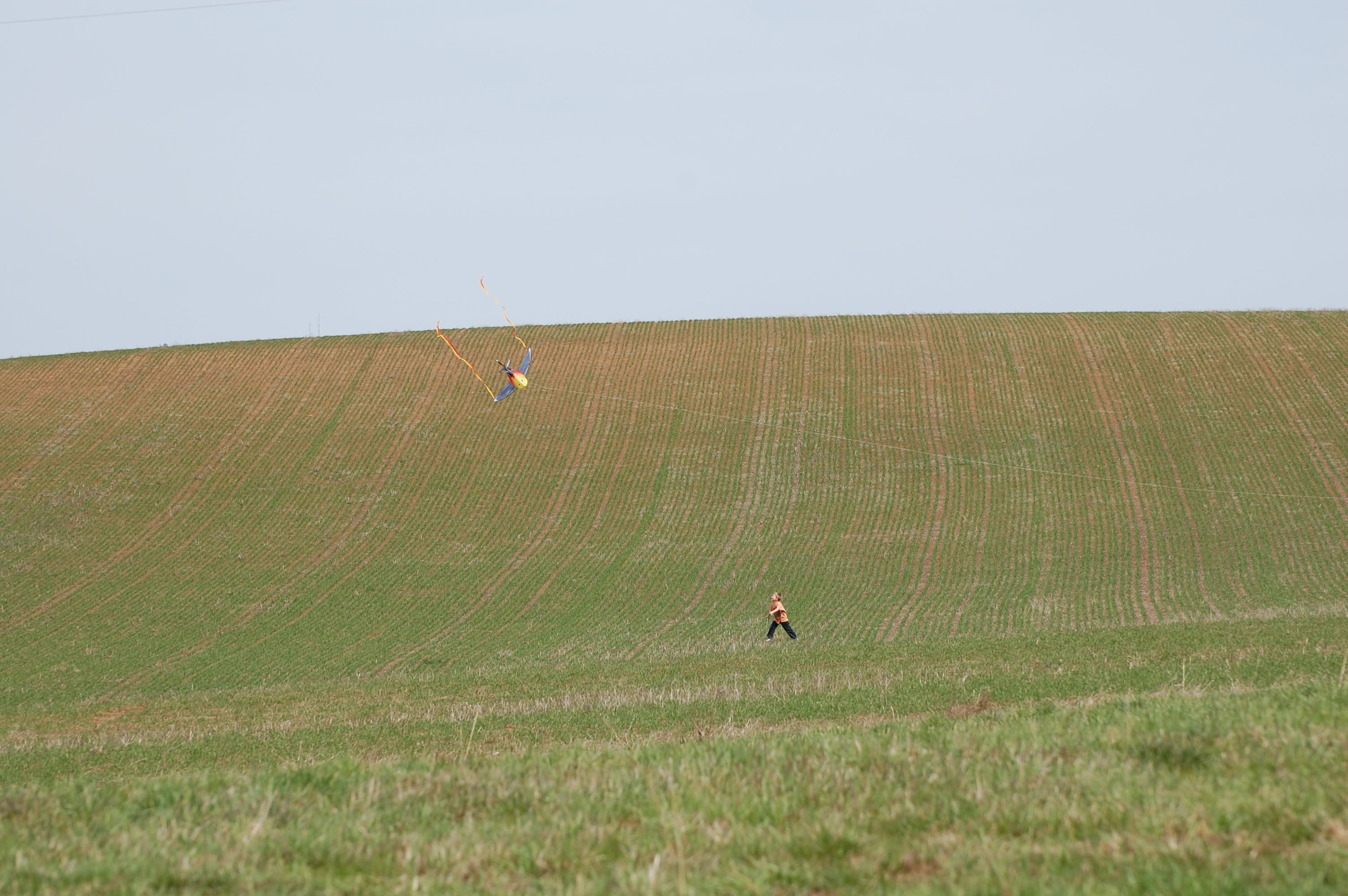
Landing the kite 1
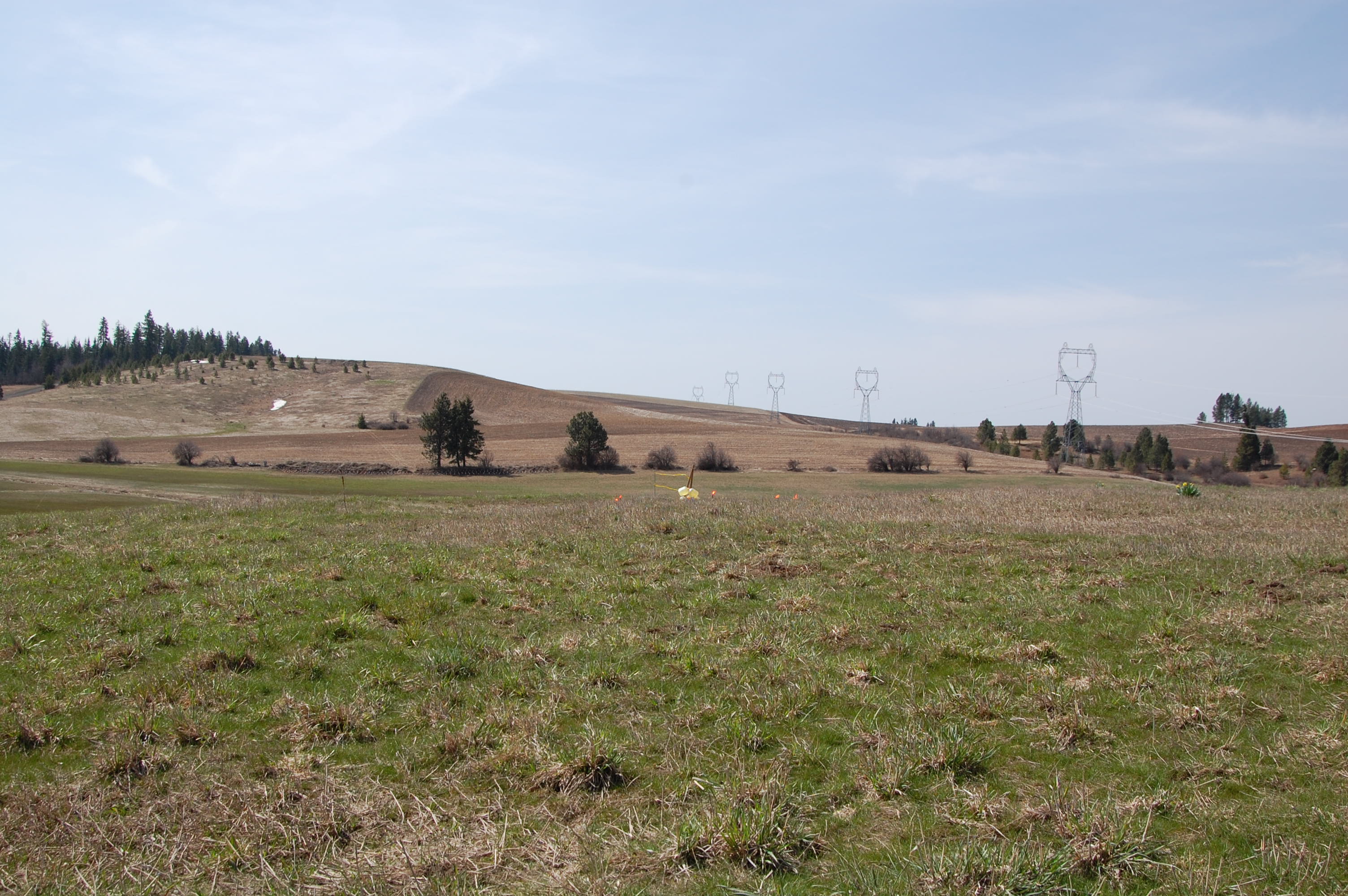
Target before
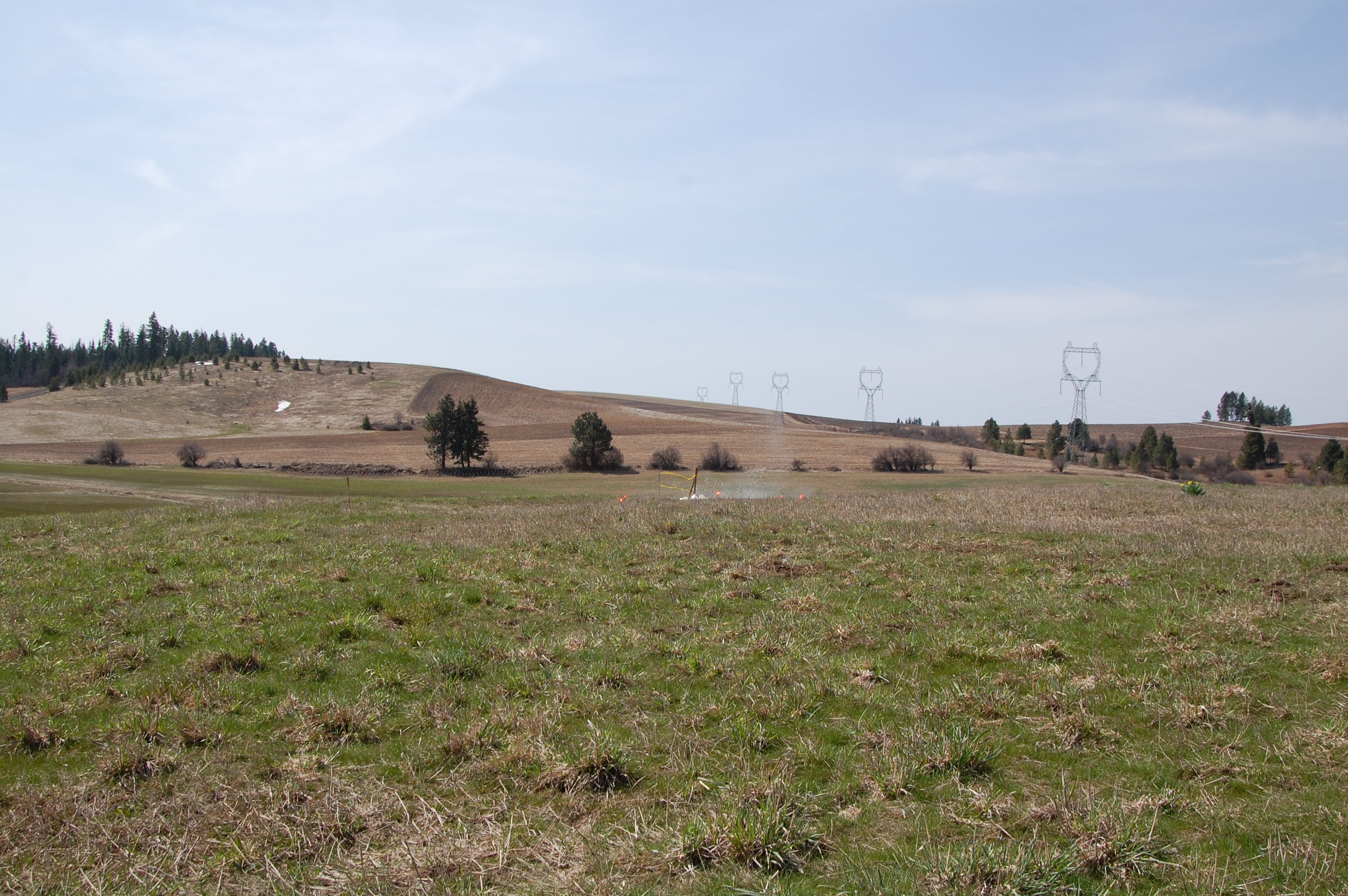
Miss 1
Everyday for 7 Weeks–Day 4–Missoula to Coeur d'Alene
Topographic Map of Agatha, ID, USA
Find elevation by address:

Places near Agatha, ID, USA:
River Rd, Lenore, ID, USA
Lenore Grade, Lenore, ID, USA
Lenore
River Road
River Road
1st St, Lenore, ID, USA
35971 Kettenbach Grade
33005 Leland Rd
33005 Leland Rd
Ryegrass Ln, Lenore, ID, USA
Nez Perce County
Cherrylane Rd, Juliaetta, ID, USA
River Point Lane
Devils Elbow Drive
Old Peck Grade
Old Peck Grade
Old Peck Grade
Old Peck Grade
Old Peck Grade
Old Peck Grade
Recent Searches:
- Elevation of Warwick, RI, USA
- Elevation of Fern Rd, Whitmore, CA, USA
- Elevation of 62 Abbey St, Marshfield, MA, USA
- Elevation of Fernwood, Bradenton, FL, USA
- Elevation of Felindre, Swansea SA5 7LU, UK
- Elevation of Leyte Industrial Development Estate, Isabel, Leyte, Philippines
- Elevation of W Granada St, Tampa, FL, USA
- Elevation of Pykes Down, Ivybridge PL21 0BY, UK
- Elevation of Jalan Senandin, Lutong, Miri, Sarawak, Malaysia
- Elevation of Bilohirs'k