Elevation of 1st St, Lenore, ID, USA
Location: United States > Idaho > Nez Perce County > Lenore >
Longitude: -116.55253
Latitude: 46.443612
Elevation: 900m / 2953feet
Barometric Pressure: 91KPa
Elevation Map:
Satellite Map:
Related Photos:
Lewiston from Winchester Grade
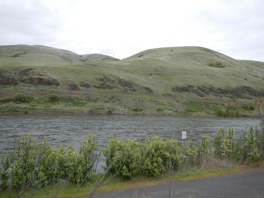
Clearwater River Canyon
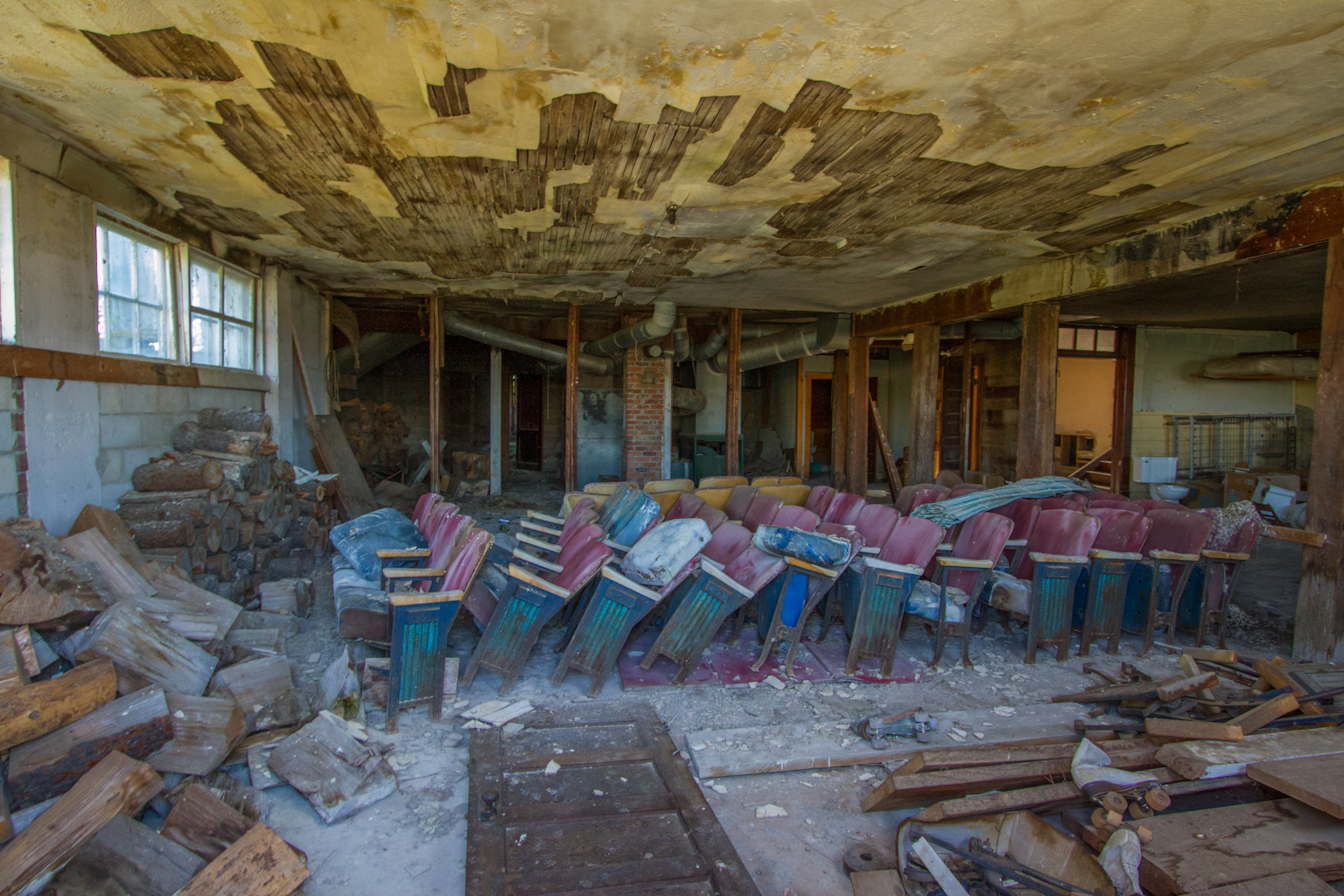
Leland School - Basement
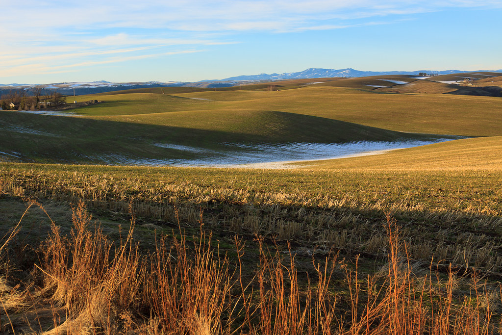
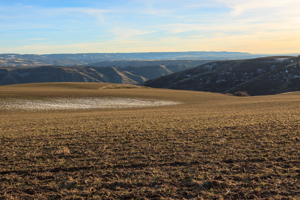
A little Palouse?
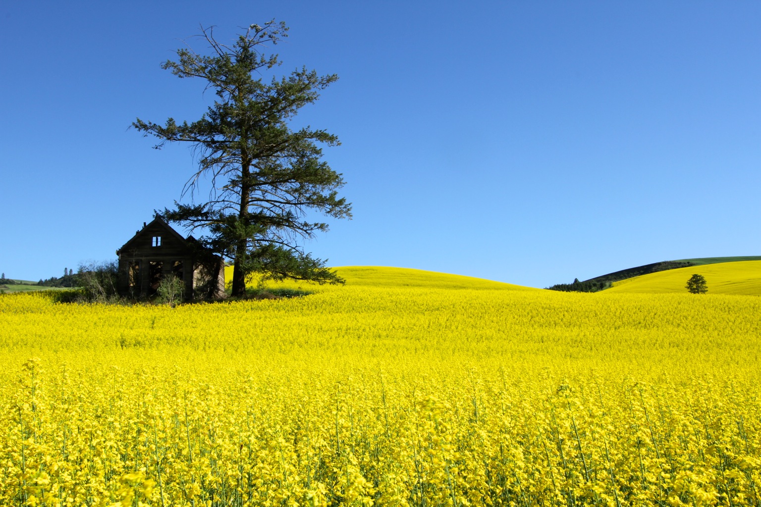
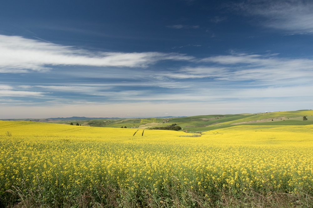
Rape Field near Culdesac, Idaho
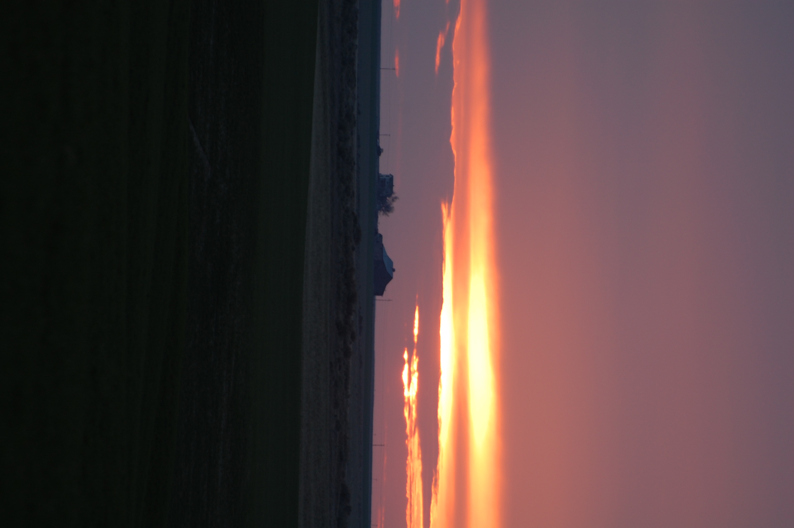
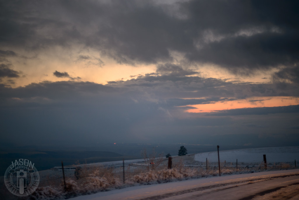
Perfect end to the day
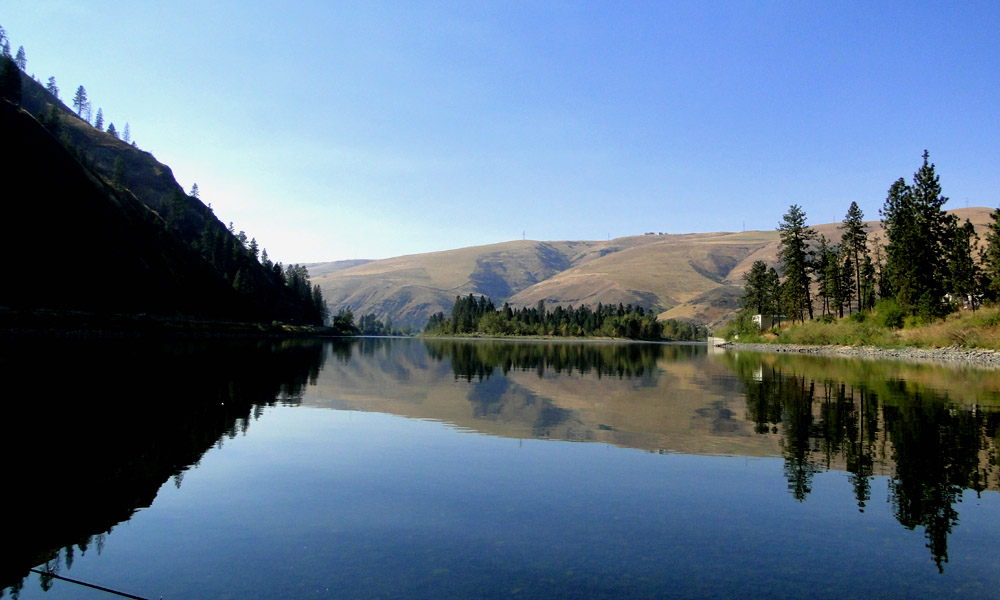
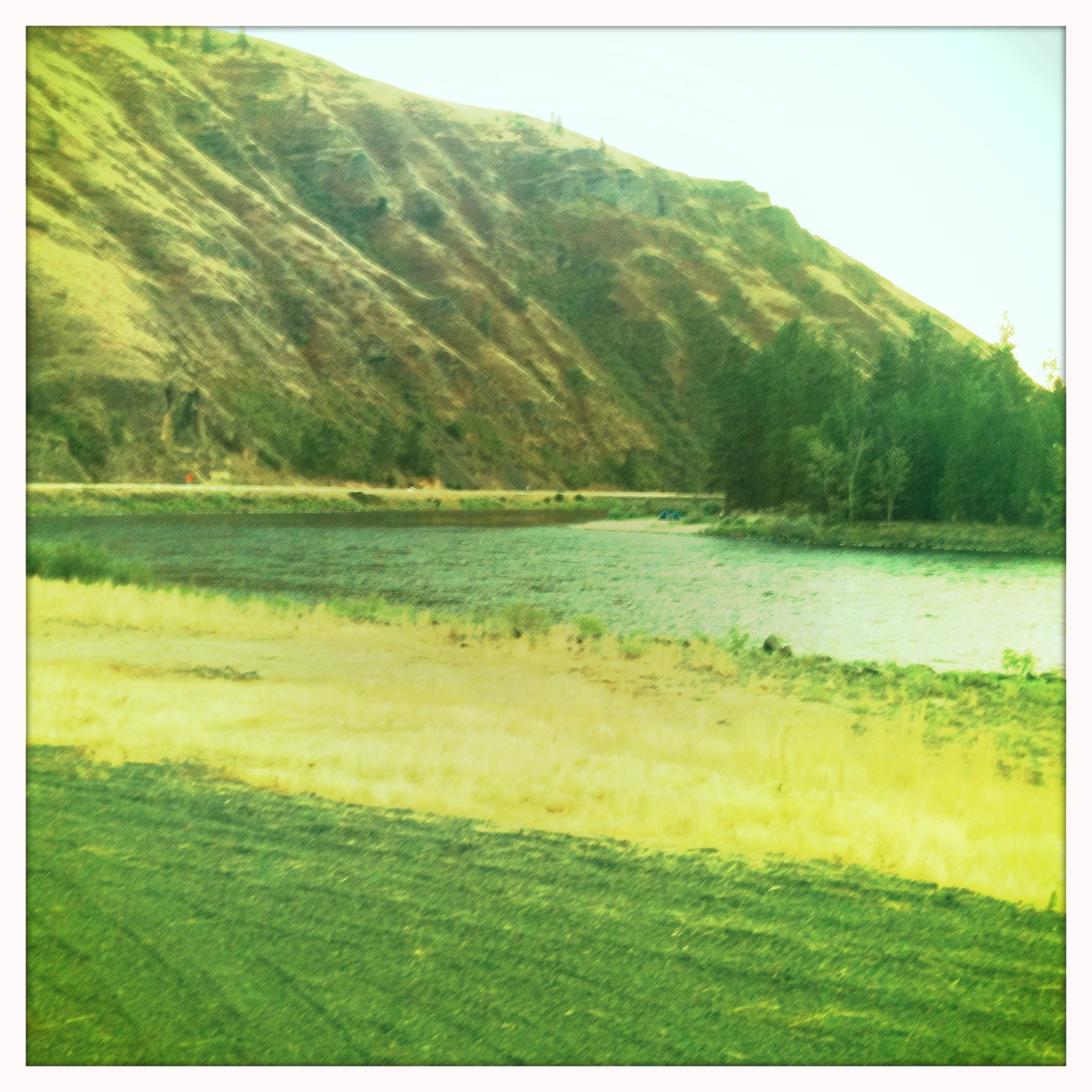
Scenic Clearwater River near Cherry Lane
Everyday for 7 Weeks–Day 4–Missoula to Coeur d'Alene
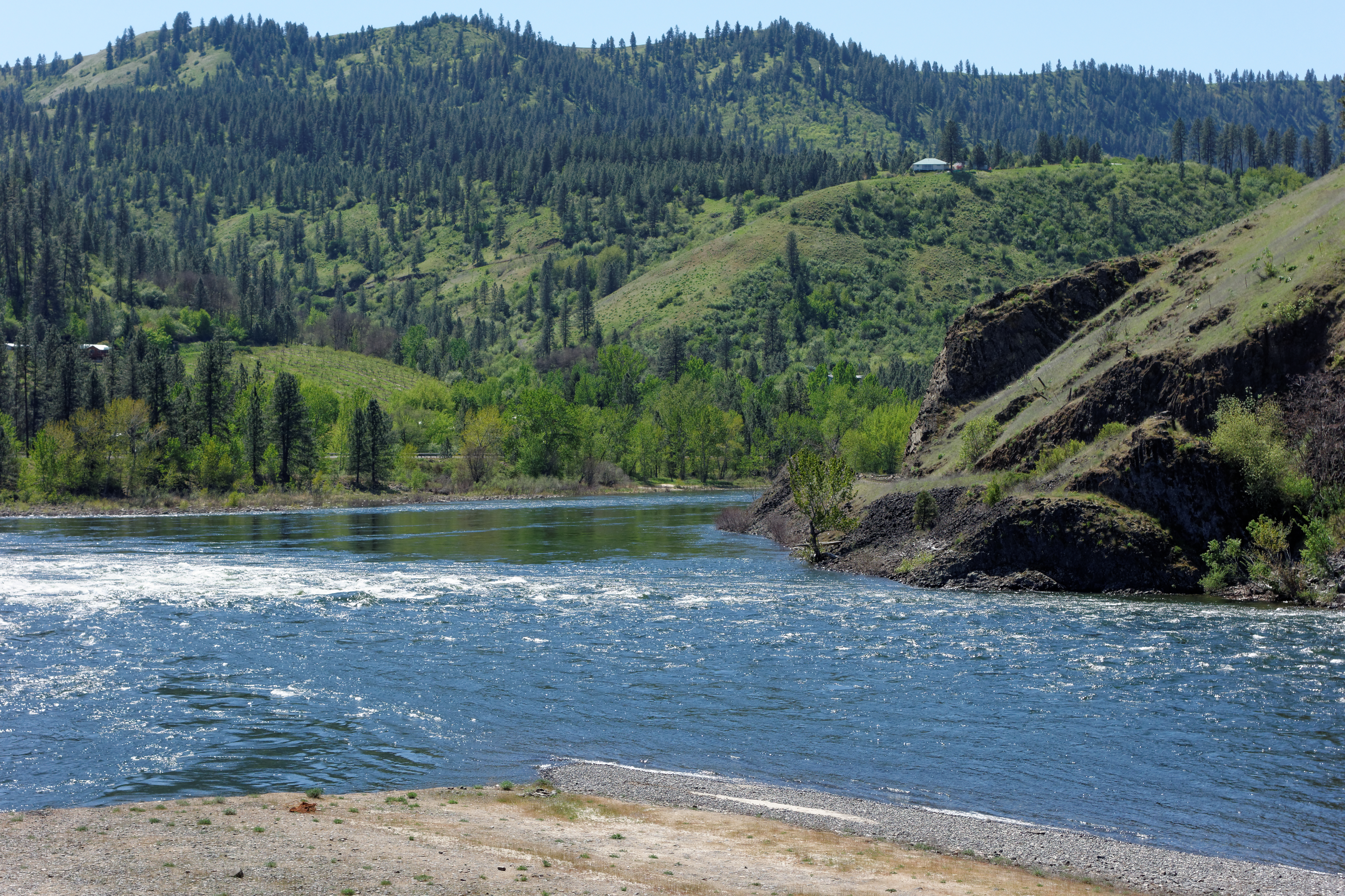
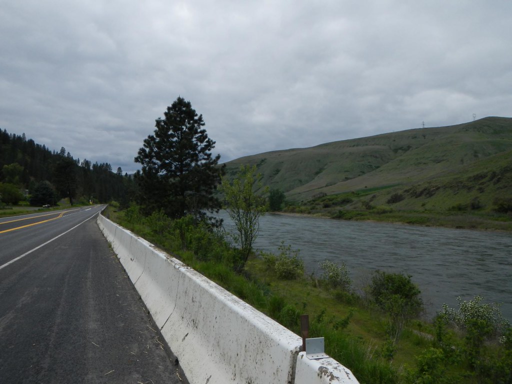
DSC05570 Clearwater River at Lenore
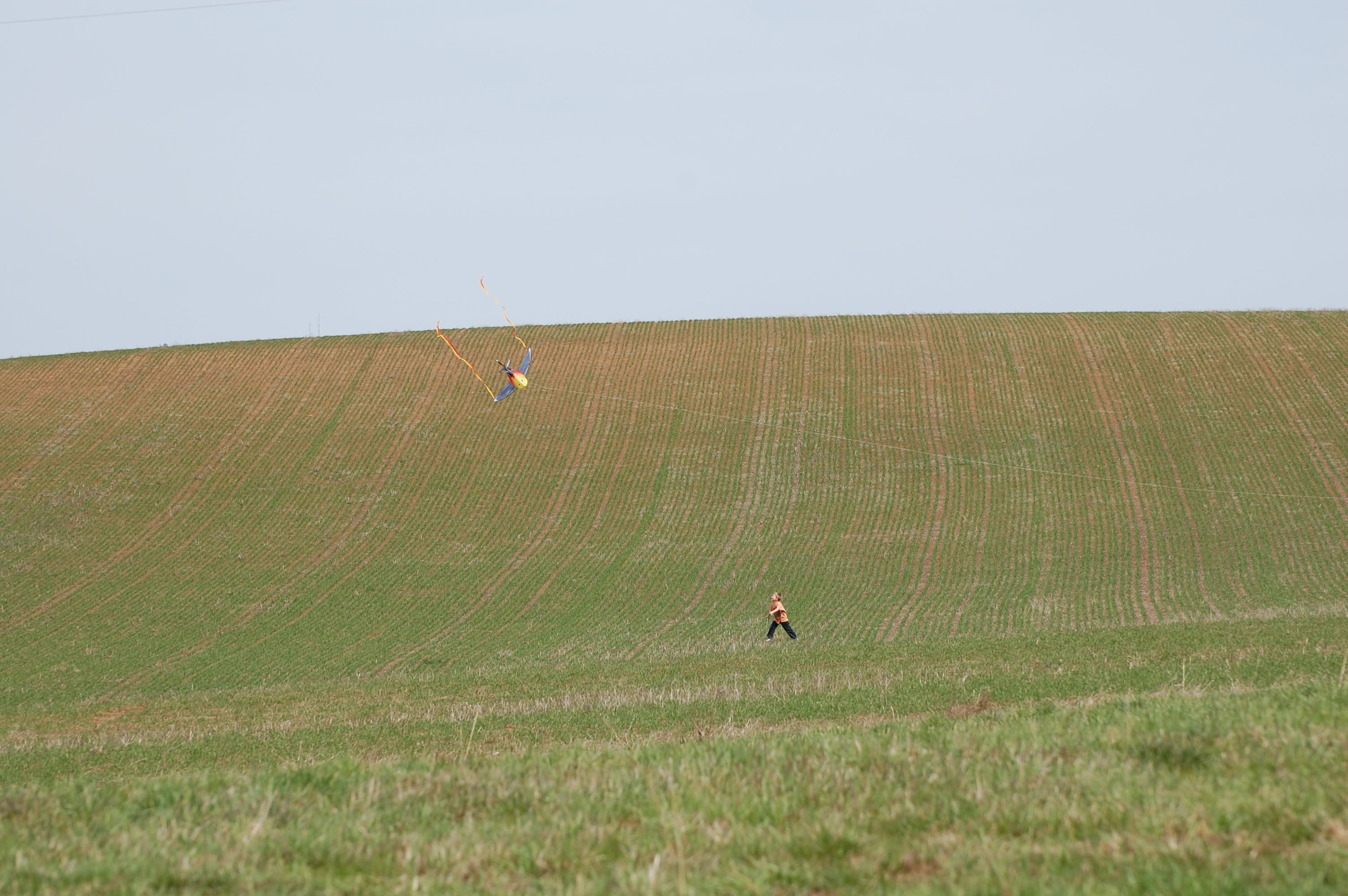
Landing the kite 1
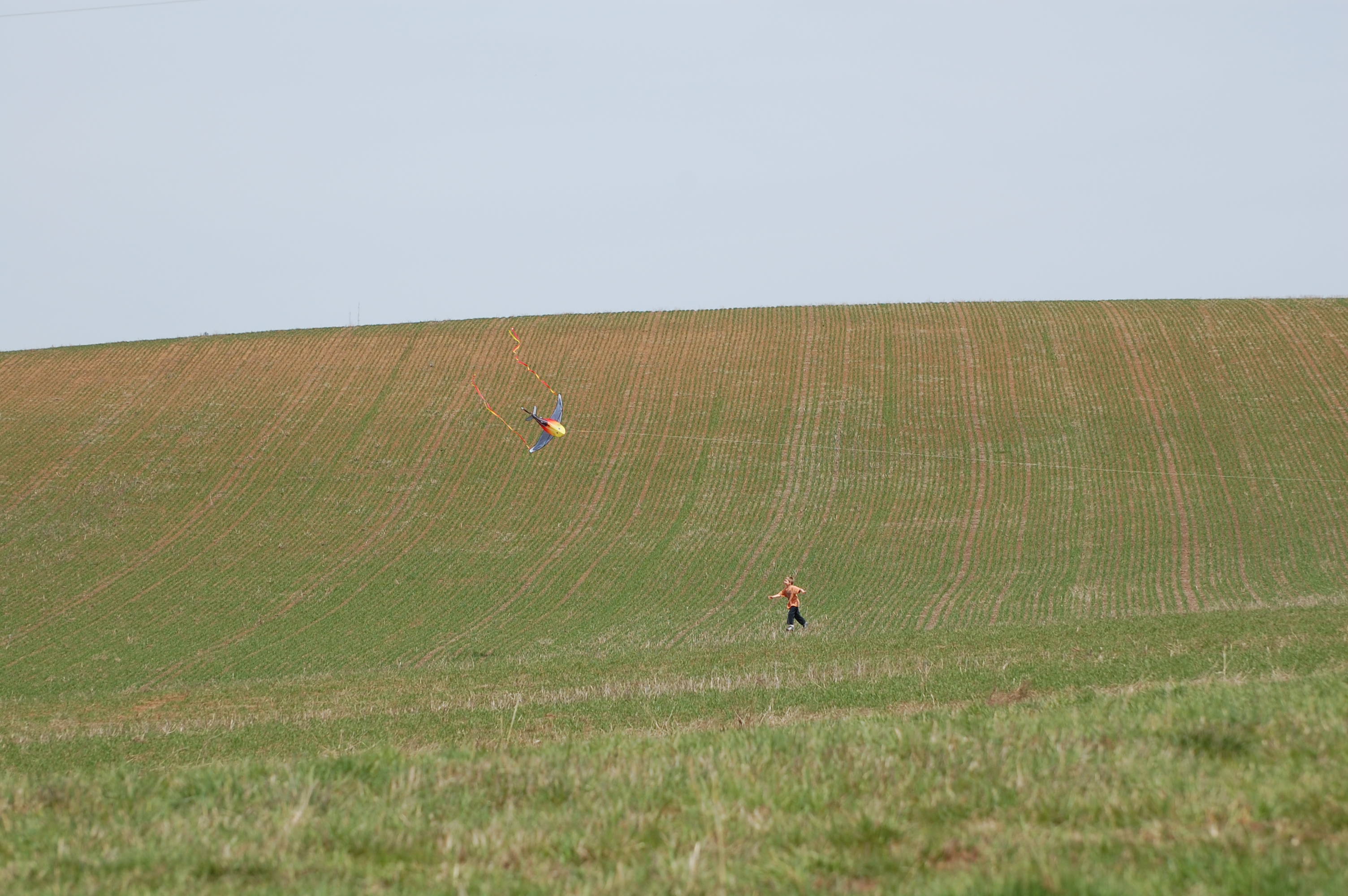
Landing the kite 2
Shooting line from the tree row
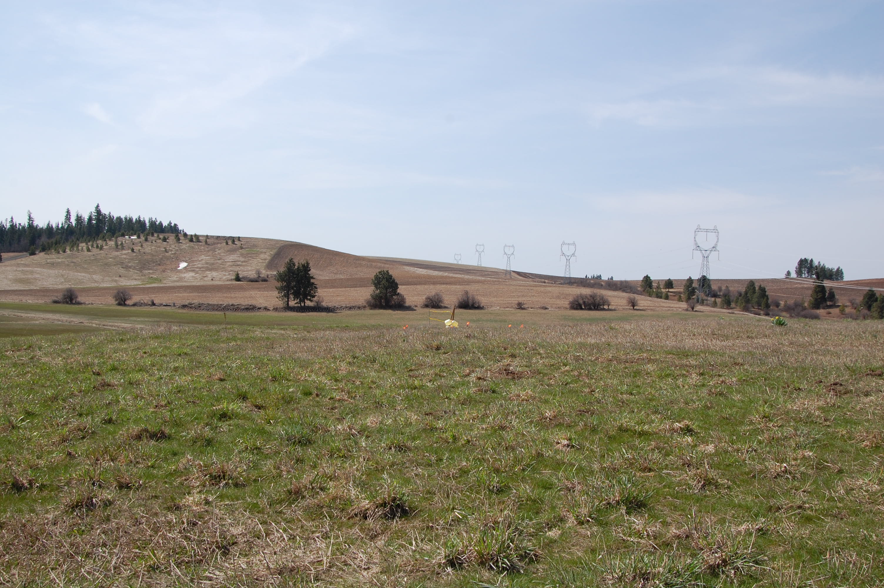
Target before
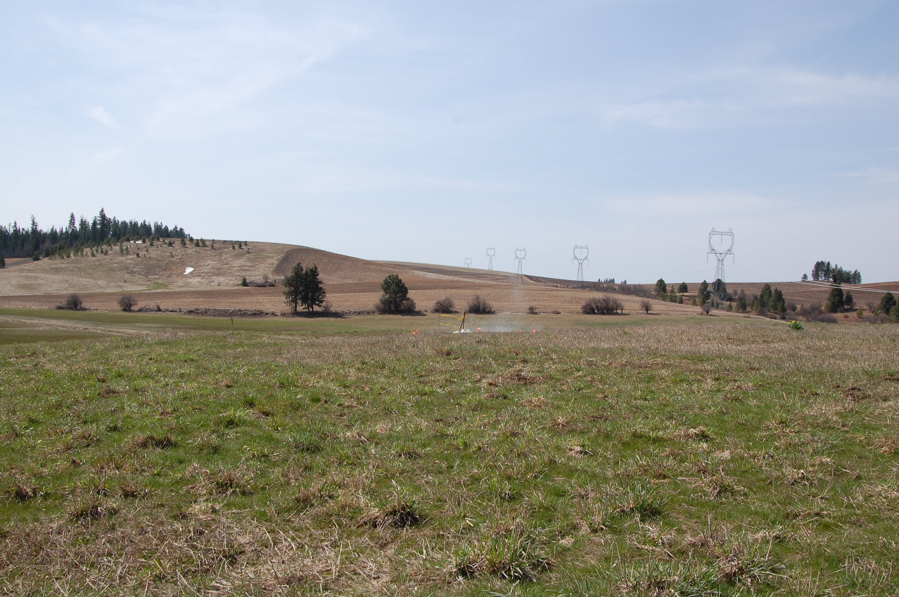
Miss 1
Everyday for 7 Weeks–Day 4–Missoula to Coeur d'Alene
Canola Field
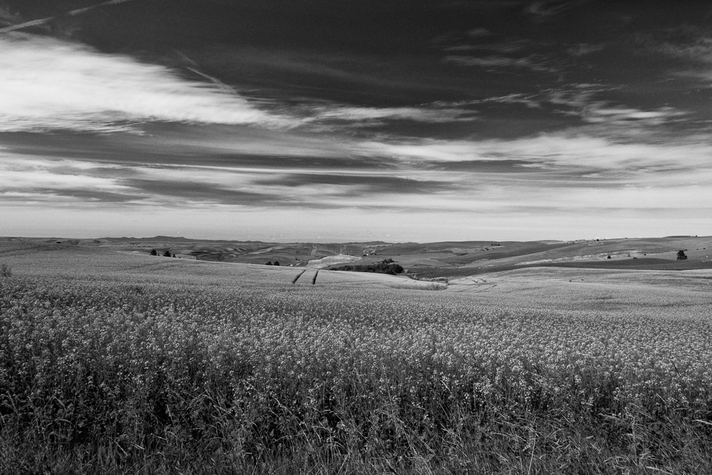
Canola Field - Black and White-3
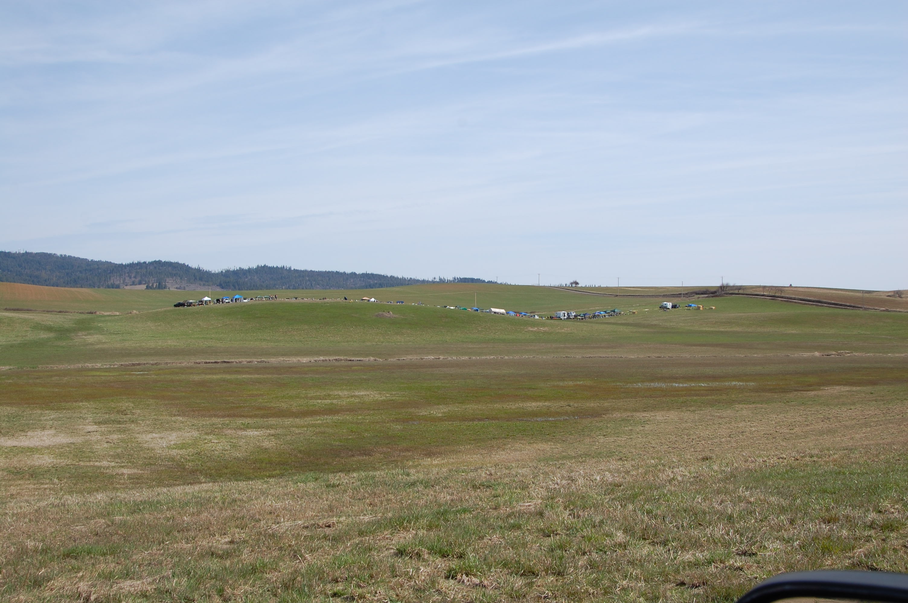
Looks Like A Good Spot To Camp!
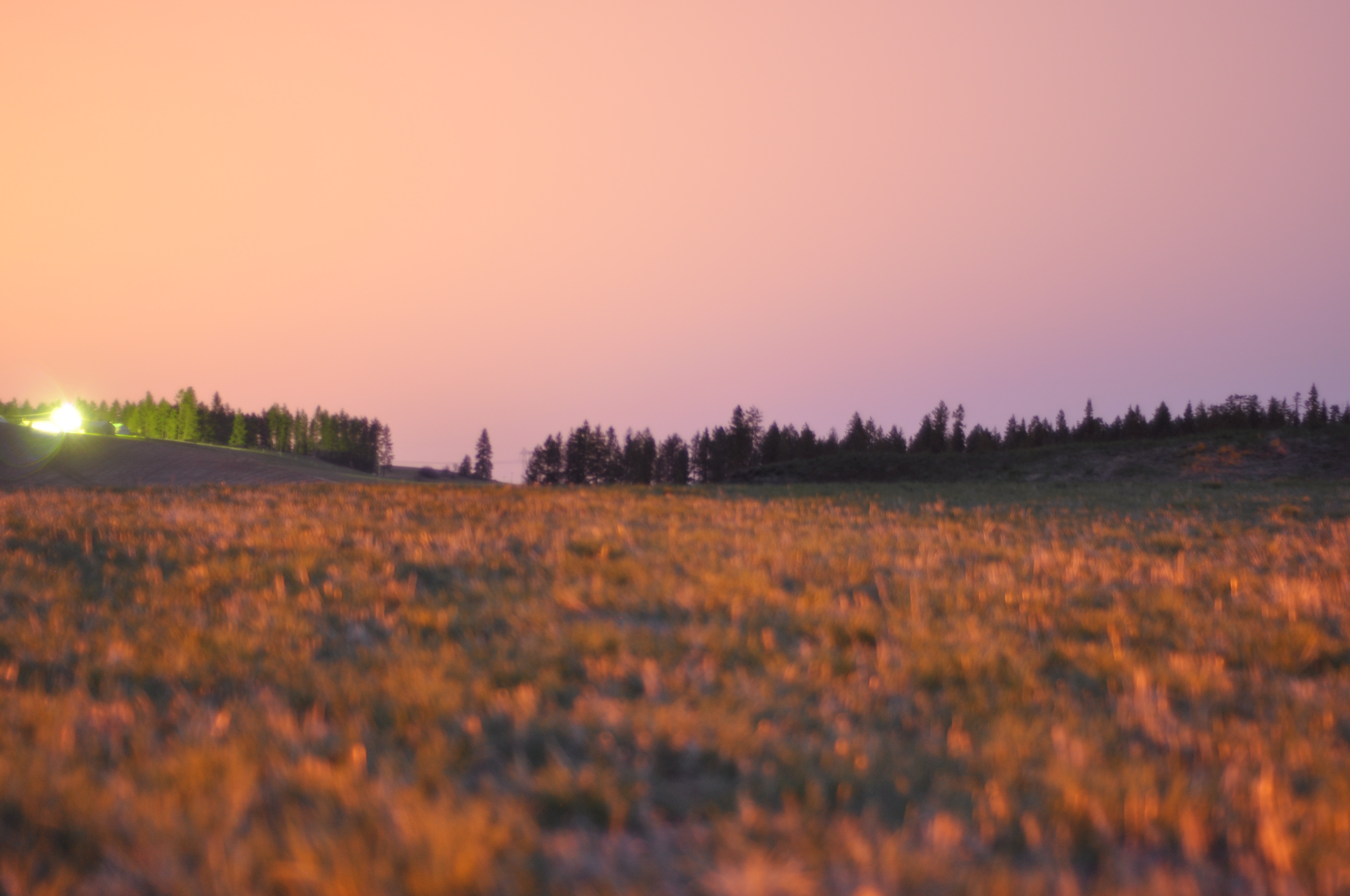
Long exposures, pre-sunrise
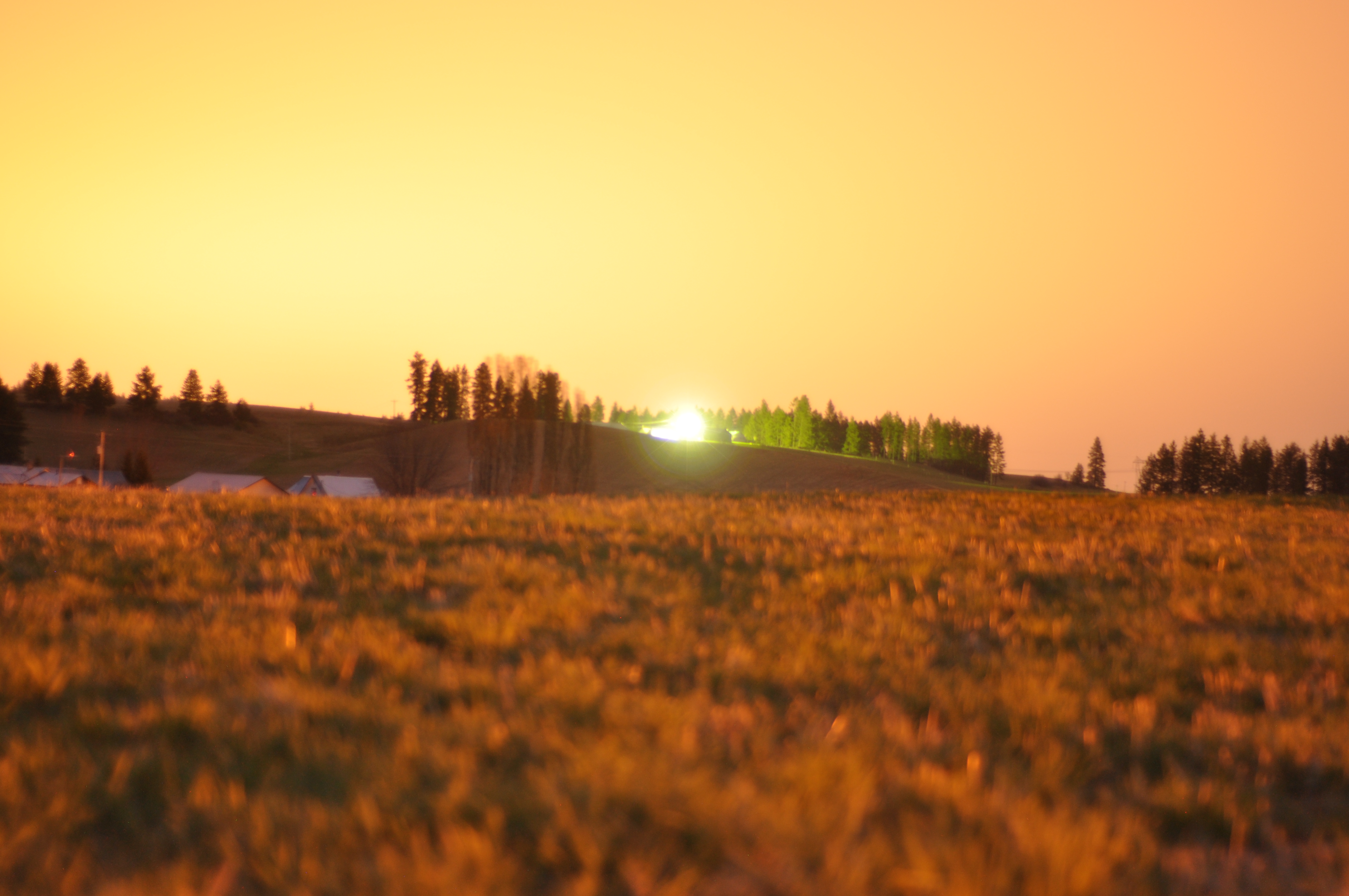
Long exposures, pre-sunrise
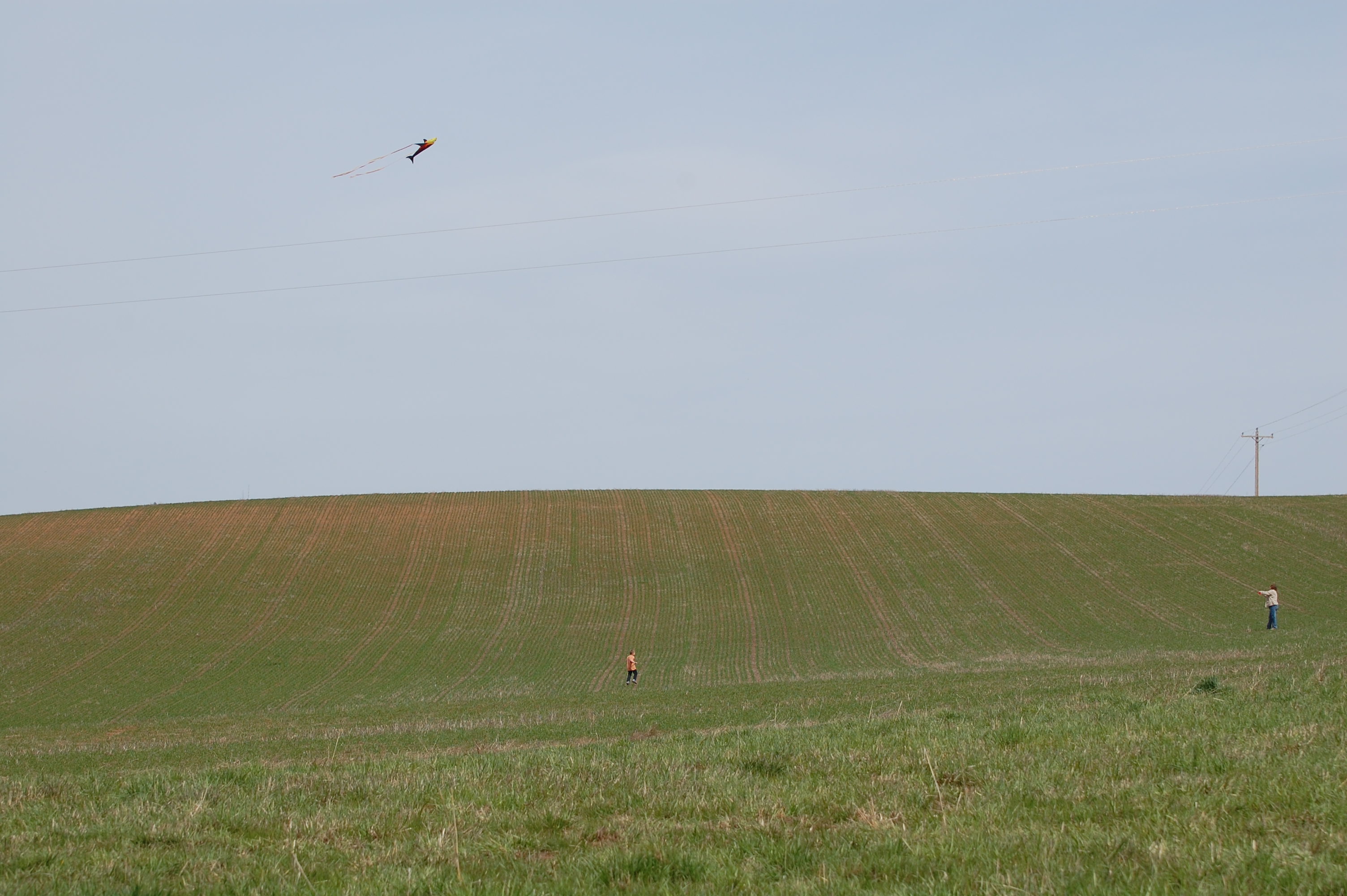
Flying kites was also on the agenda
Topographic Map of 1st St, Lenore, ID, USA
Find elevation by address:

Places near 1st St, Lenore, ID, USA:
35971 Kettenbach Grade
Lenore Grade, Lenore, ID, USA
Lenore
River Rd, Lenore, ID, USA
Agatha
Nez Perce County
River Road
Ryegrass Ln, Lenore, ID, USA
Melrose Rd, Peck, ID, USA
River Road
River Point Lane
Peck
N Park St, Peck, ID, USA
Old Peck Grade
Old Peck Grade
Old Peck Grade
Old Peck Grade
Old Peck Grade
Old Peck Grade
Old Peck Grade
Recent Searches:
- Elevation of Jadagoniai, Kaunas District Municipality, Lithuania
- Elevation of Pagonija rock, Kranto 7-oji g. 8"N, Kaunas, Lithuania
- Elevation of Co Rd 87, Jamestown, CO, USA
- Elevation of Tenjo, Cundinamarca, Colombia
- Elevation of Côte-des-Neiges, Montreal, QC H4A 3J6, Canada
- Elevation of Bobcat Dr, Helena, MT, USA
- Elevation of Zu den Ihlowbergen, Althüttendorf, Germany
- Elevation of Badaber, Peshawar, Khyber Pakhtunkhwa, Pakistan
- Elevation of SE Heron Loop, Lincoln City, OR, USA
- Elevation of Slanický ostrov, 01 Námestovo, Slovakia