Elevation of Peck, ID, USA
Location: United States > Idaho > Nez Perce County >
Longitude: -116.42431
Latitude: 46.4751758
Elevation: 336m / 1102feet
Barometric Pressure: 97KPa
Elevation Map:
Satellite Map:
Related Photos:
Orofino sunset... ???? #sunset #view #orofino #idaho #usa #longweekend #motorcycleroadtrip #ontheroad #lifeonthemove #livetotravel #livetoride #lifeisgood

Train Crossing
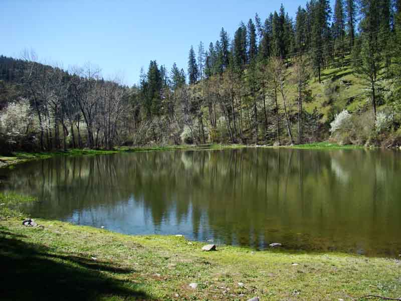
A view of Tunnel Pond

Dworshak Dam
Room with a view in Orofino, Idaho
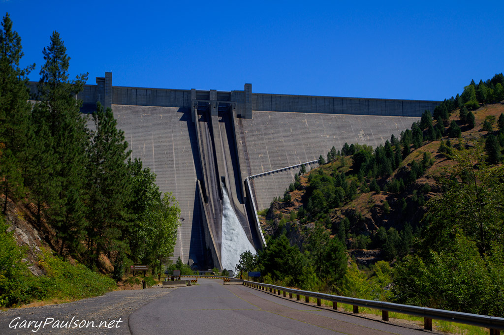
Dworshak Dam
Long exposures, pre-sunrise
Long exposures, pre-sunrise

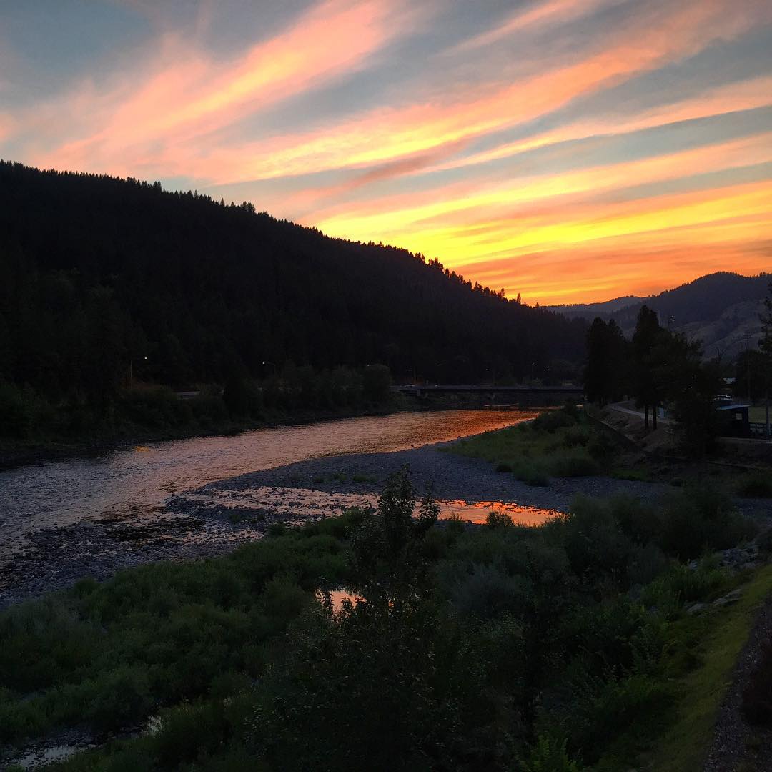
Fiery pink clouds as twilight falls on Orofino, ID....

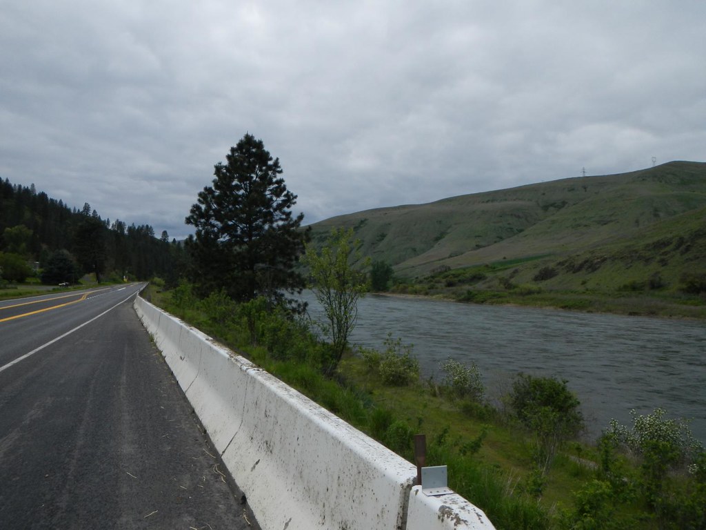
Up the road
Perfect end to the day
Teakean Butte
Everyday for 7 Weeks–Day 4–Missoula to Coeur d'Alene

Engineer recruitment program--clearing timber
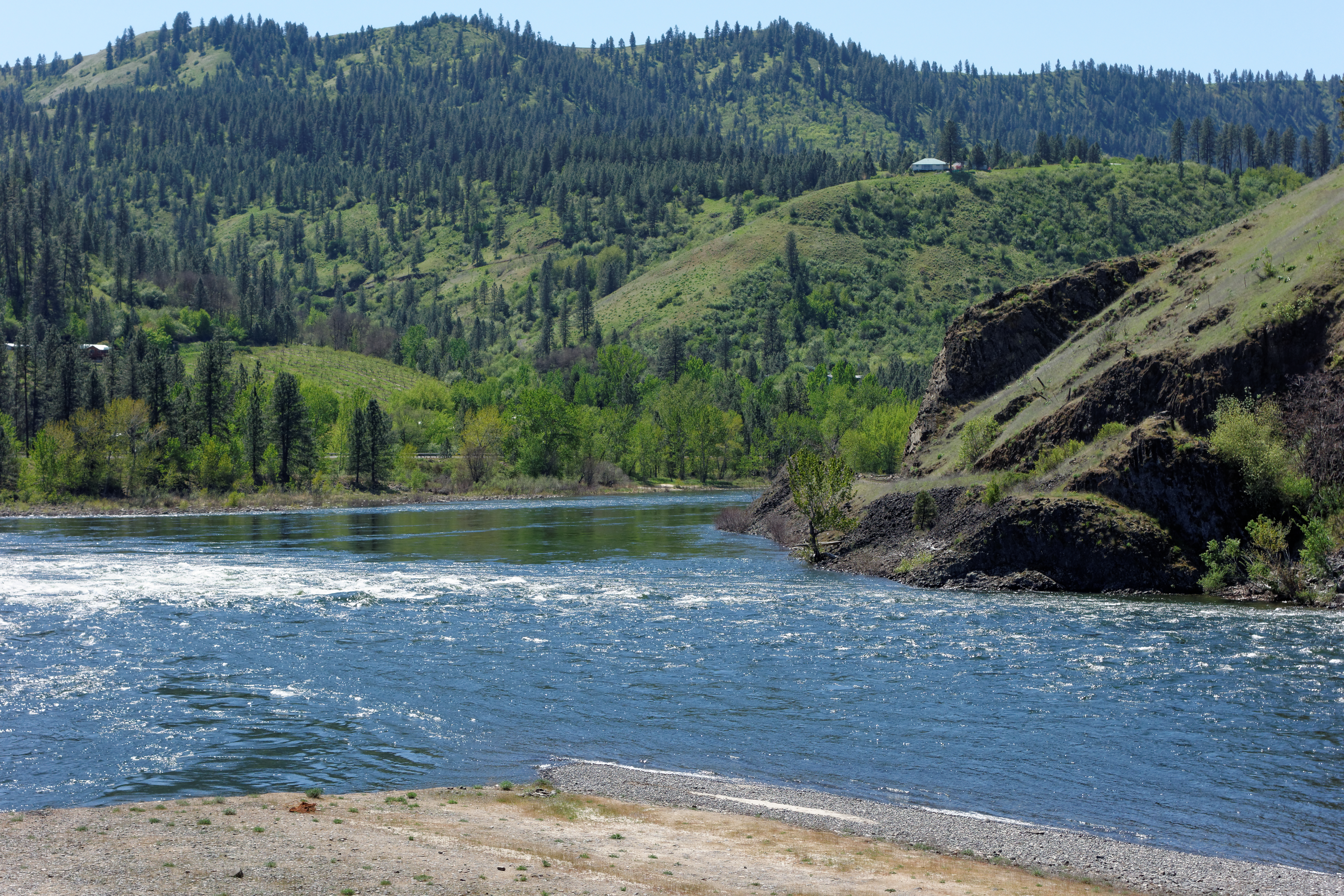
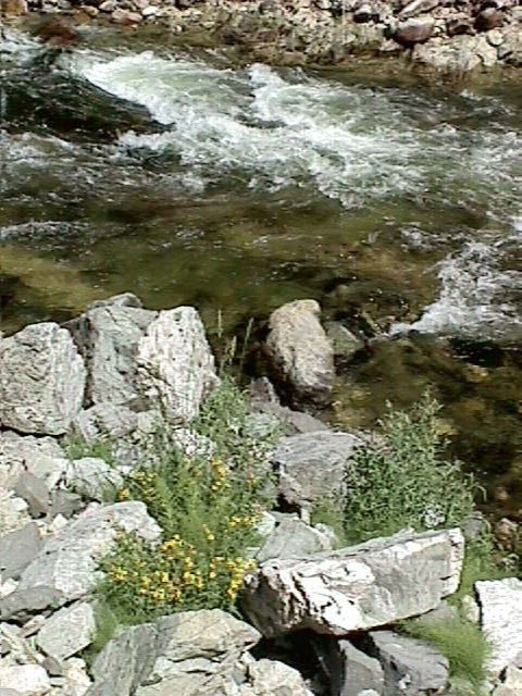
DSC05570 Clearwater River at Lenore
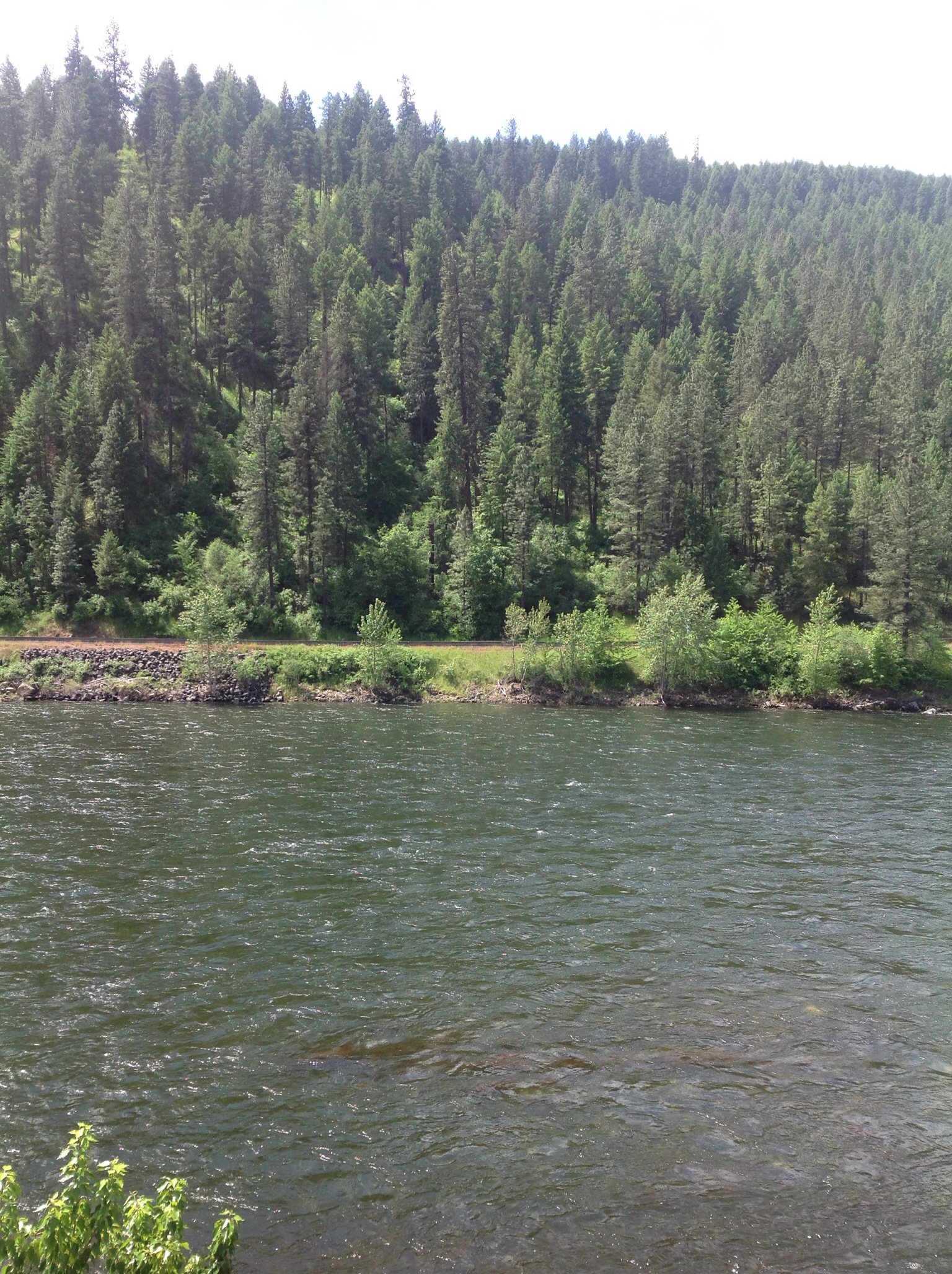
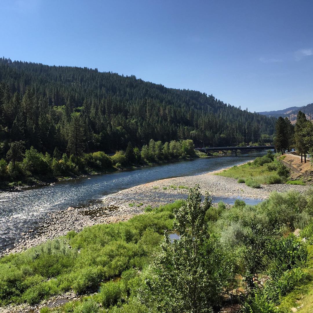
Clearwater river
Western Waters Idaho
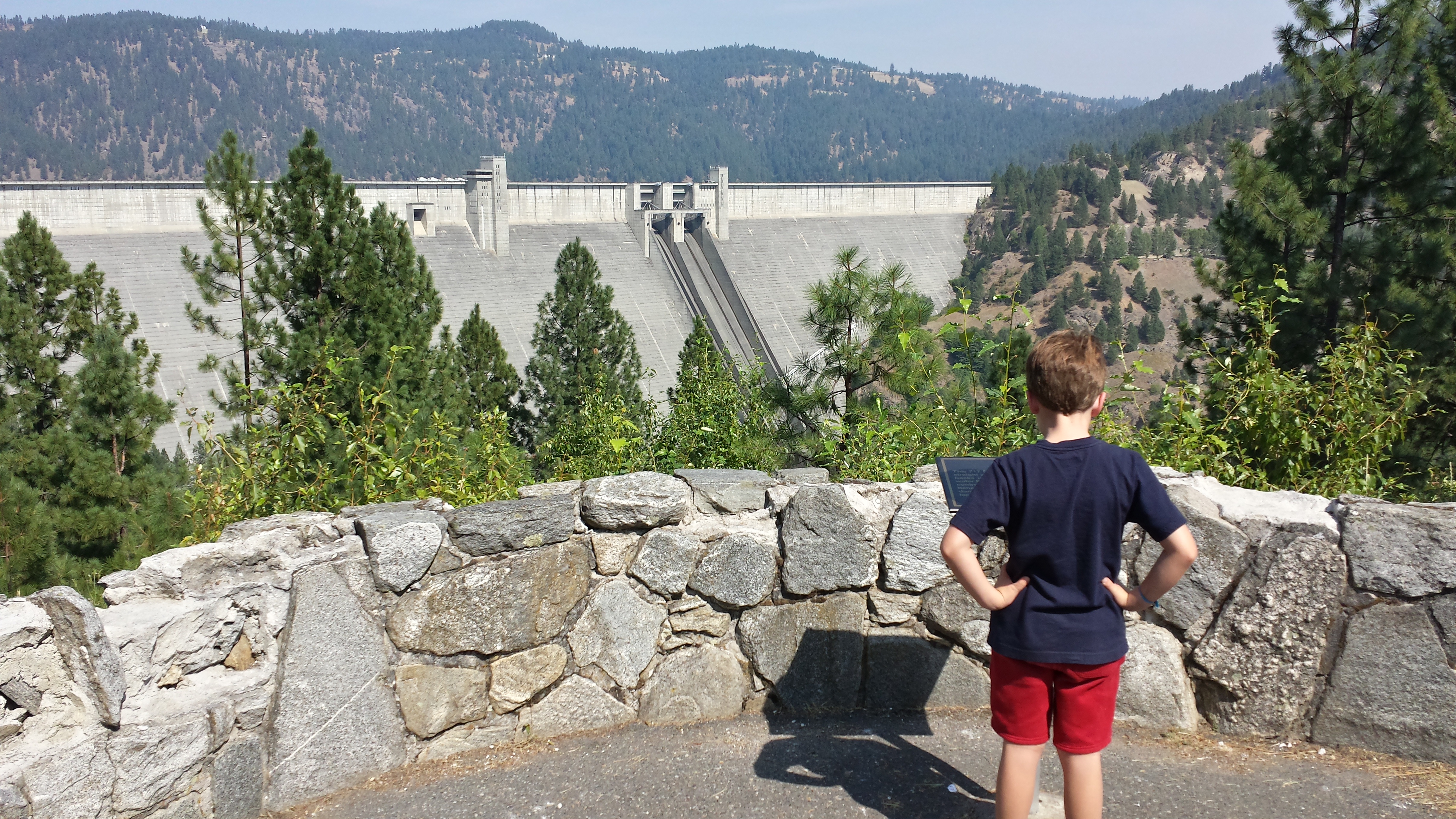
Dworshak Dam
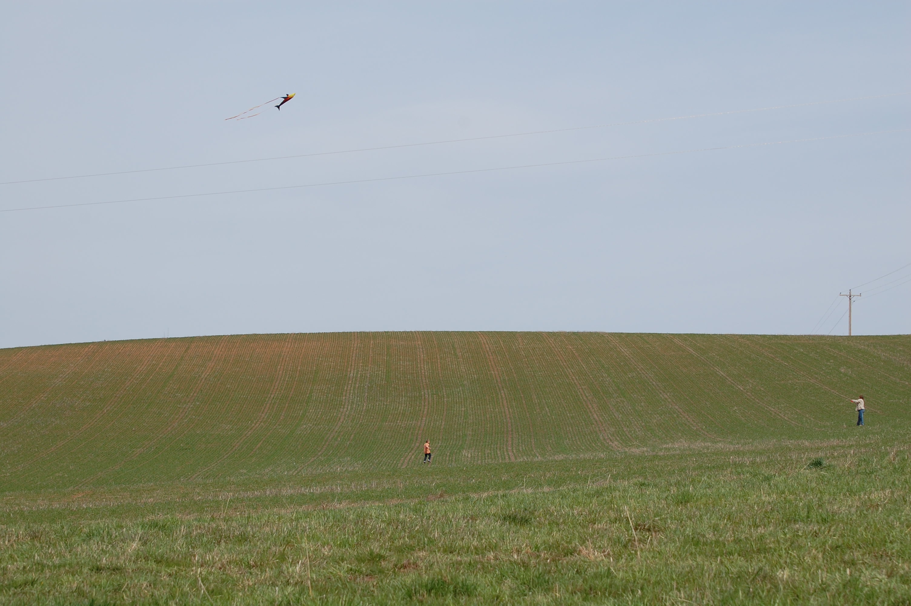
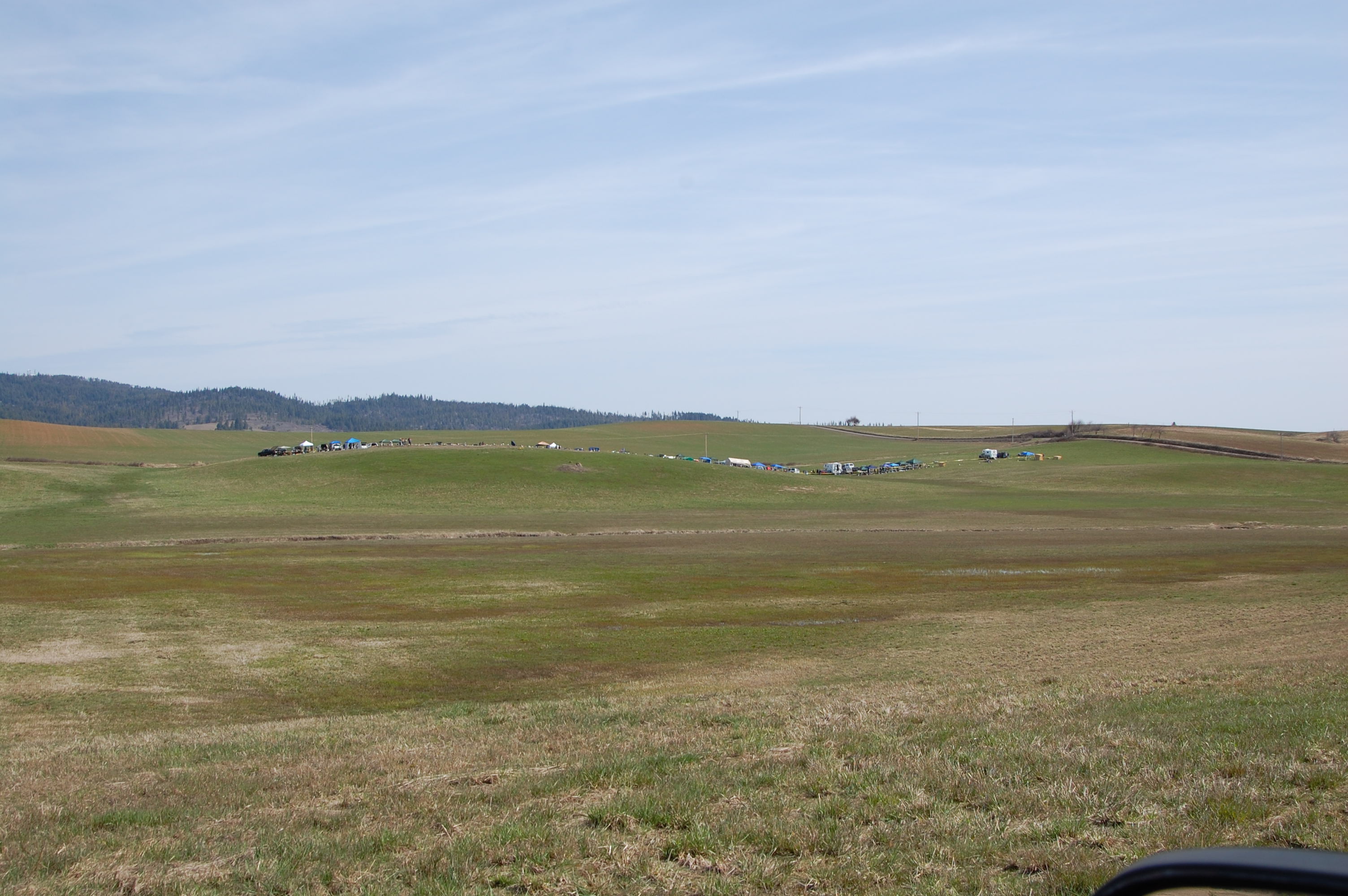
Flying kites was also on the agenda
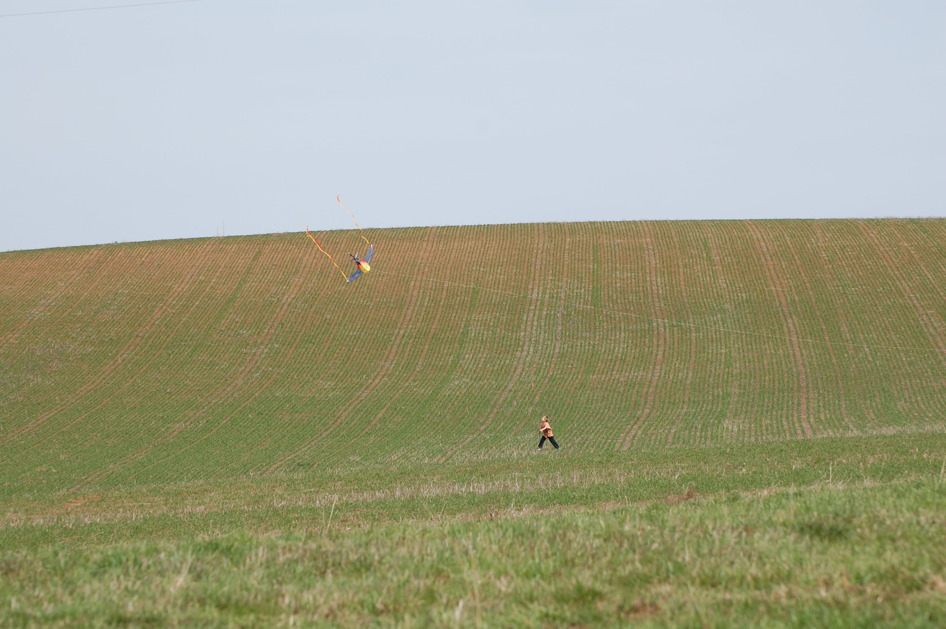
Landing the kite 1
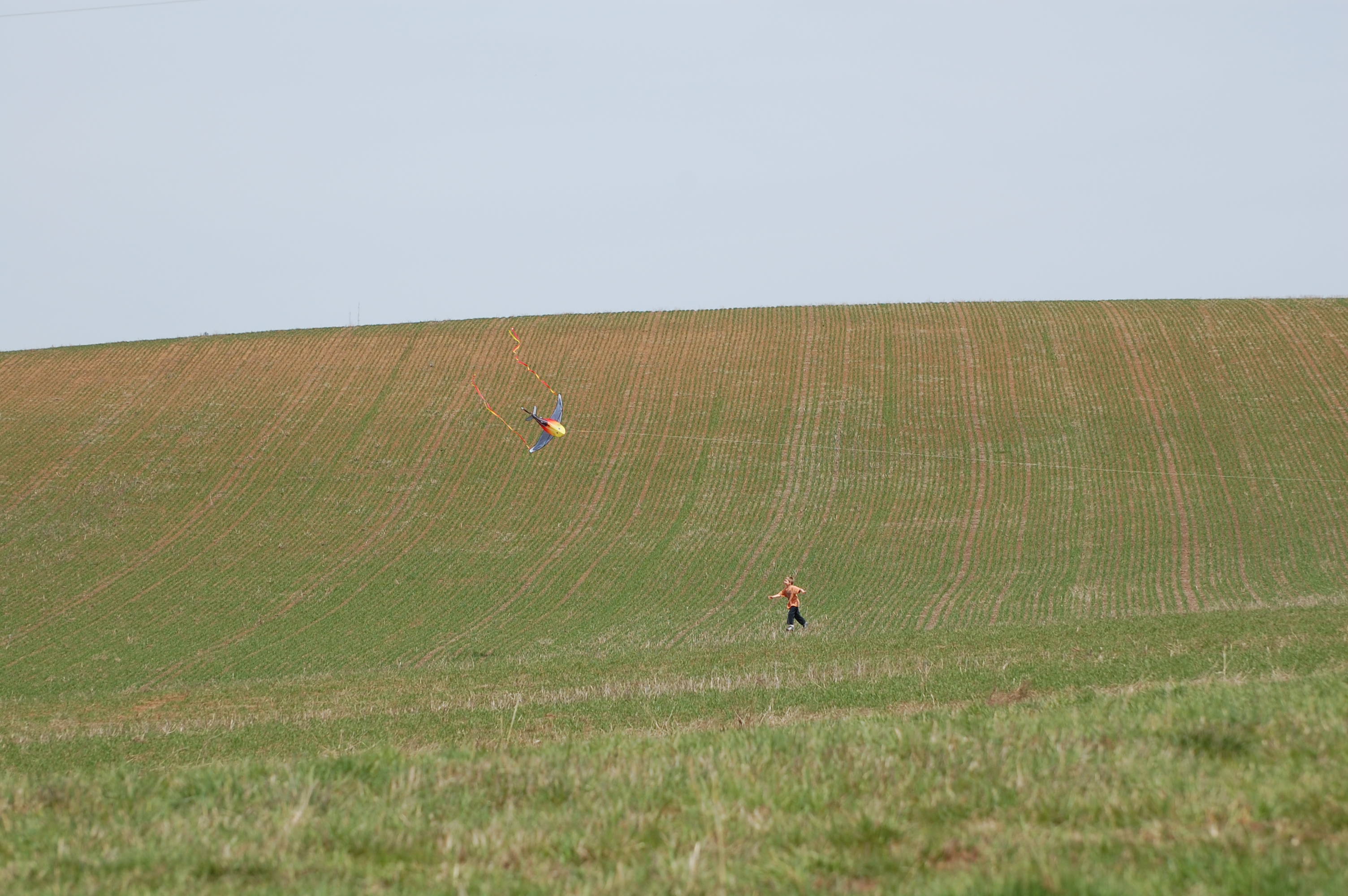
Landing the kite 2
Shooting line from the tree row
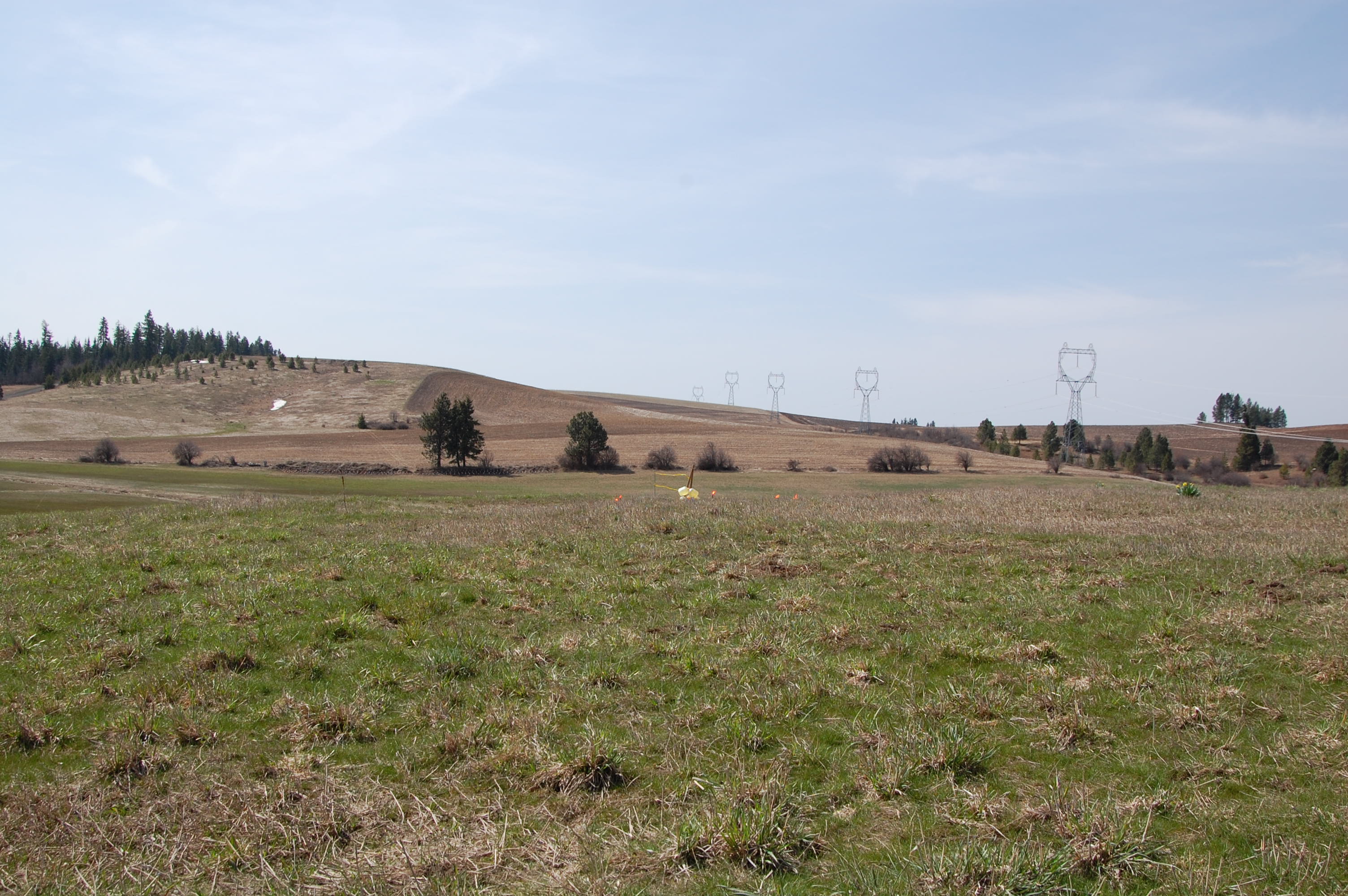
Target before
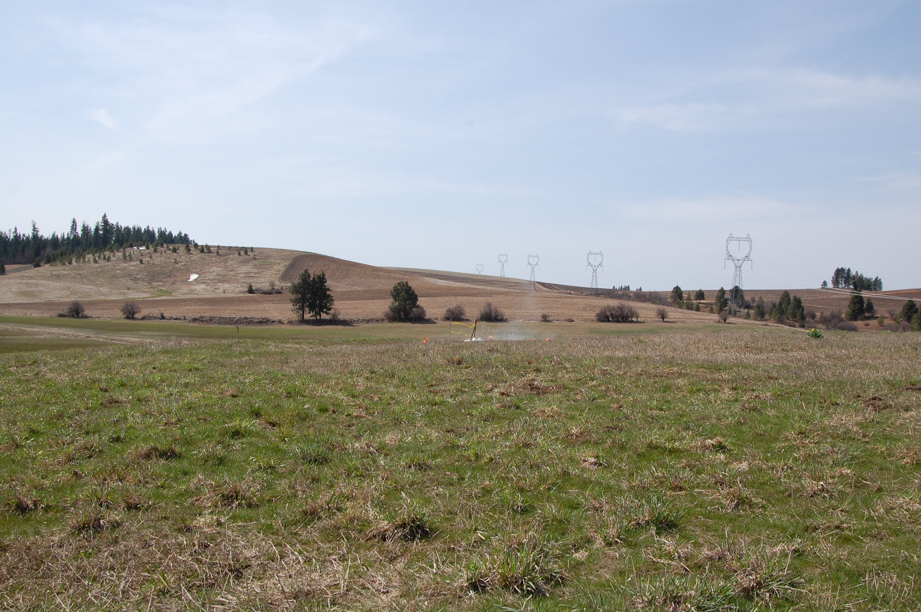
Miss 1
Topographic Map of Peck, ID, USA
Find elevation by address:

Places in Peck, ID, USA:
Places near Peck, ID, USA:
N Park St, Peck, ID, USA
Old Peck Grade
Old Peck Grade
Old Peck Grade
Old Peck Grade
Old Peck Grade
Old Peck Grade
Old Peck Grade
823 Sunnyside Bench Rd
River Point Lane
Devils Elbow Drive
Ryegrass Ln, Lenore, ID, USA
Melrose Rd, Peck, ID, USA
Cavendish
Teakean Rd, Lenore, ID, USA
River Road
Lenore
Lenore Grade, Lenore, ID, USA
1st St, Lenore, ID, USA
River Rd, Lenore, ID, USA
Recent Searches:
- Elevation of Zimmer Trail, Pennsylvania, USA
- Elevation of 87 Kilmartin Ave, Bristol, CT, USA
- Elevation of Honghe National Nature Reserve, QP95+PJP, Tongjiang, Heilongjiang, Jiamusi, Heilongjiang, China
- Elevation of Hercules Dr, Colorado Springs, CO, USA
- Elevation of Szlak pieszy czarny, Poland
- Elevation of Griffing Blvd, Biscayne Park, FL, USA
- Elevation of Kreuzburger Weg 13, Düsseldorf, Germany
- Elevation of Gateway Blvd SE, Canton, OH, USA
- Elevation of East W.T. Harris Boulevard, E W.T. Harris Blvd, Charlotte, NC, USA
- Elevation of West Sugar Creek, Charlotte, NC, USA