Elevation of Mill Rd, Lewiston, ID, USA
Location: United States > Idaho > Nez Perce County > Lewiston >
Longitude: -116.95227
Latitude: 46.42237
Elevation: 300m / 984feet
Barometric Pressure: 98KPa
Elevation Map:
Satellite Map:
Related Photos:
View from Coyote Gulch Rd.

D70-0801-061 - View
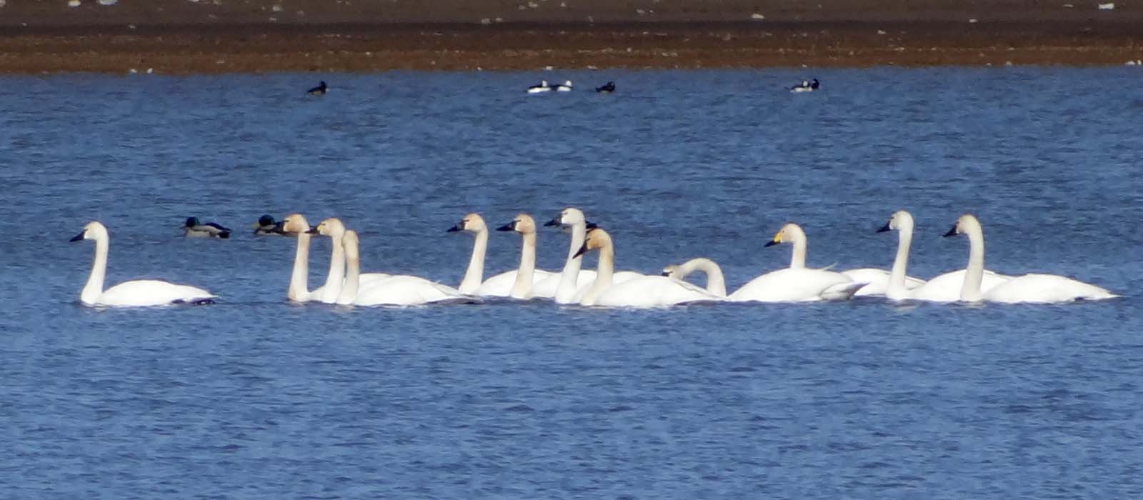
Mar4,2013f 116 Tundra Swan 11 + 1 Bewick's Swan
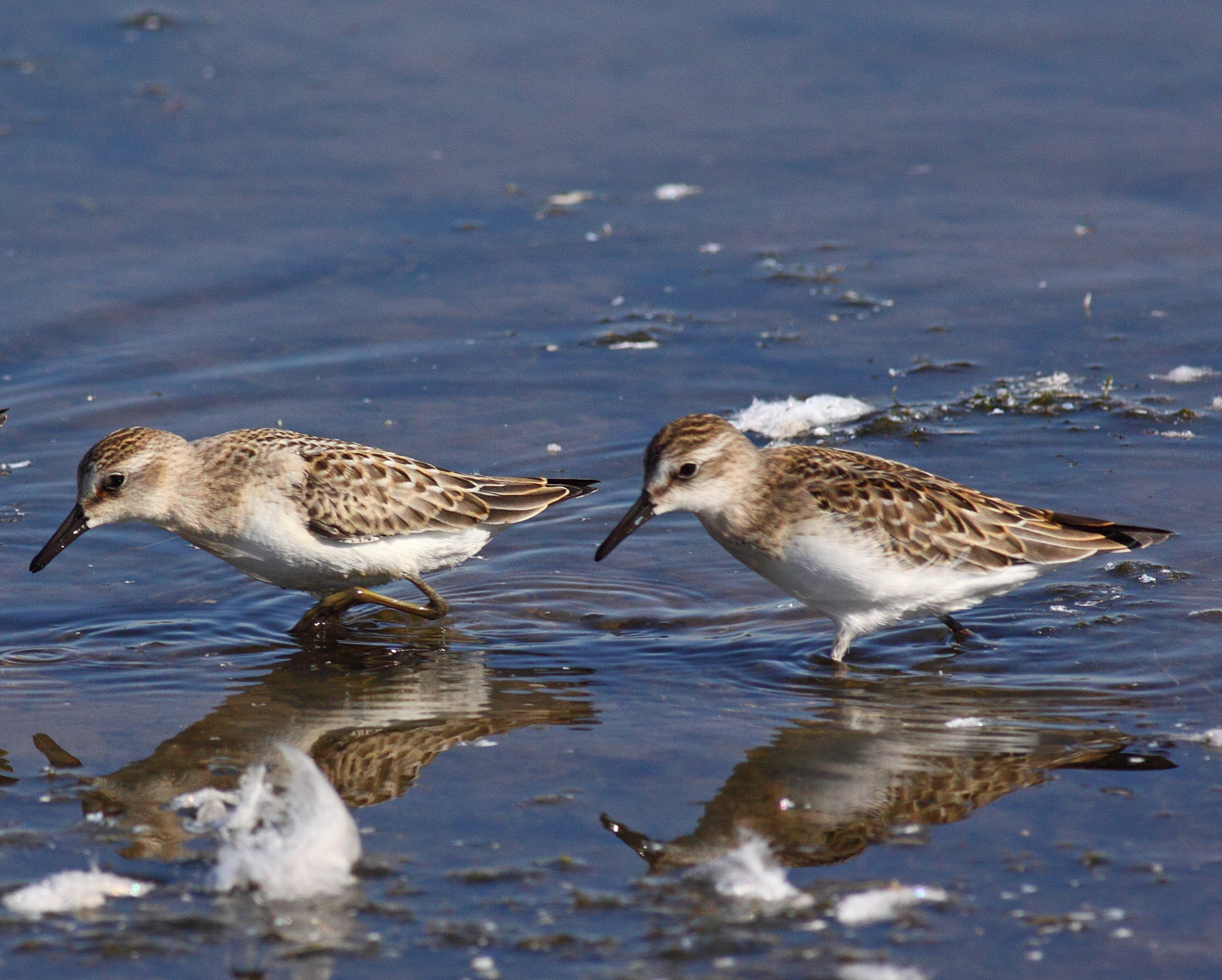
"peeps" ID Difficulties

Willet and American Avocet

Mar4,2013f 118 Bewick's Swan

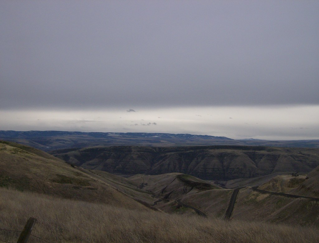
Road to Perdition
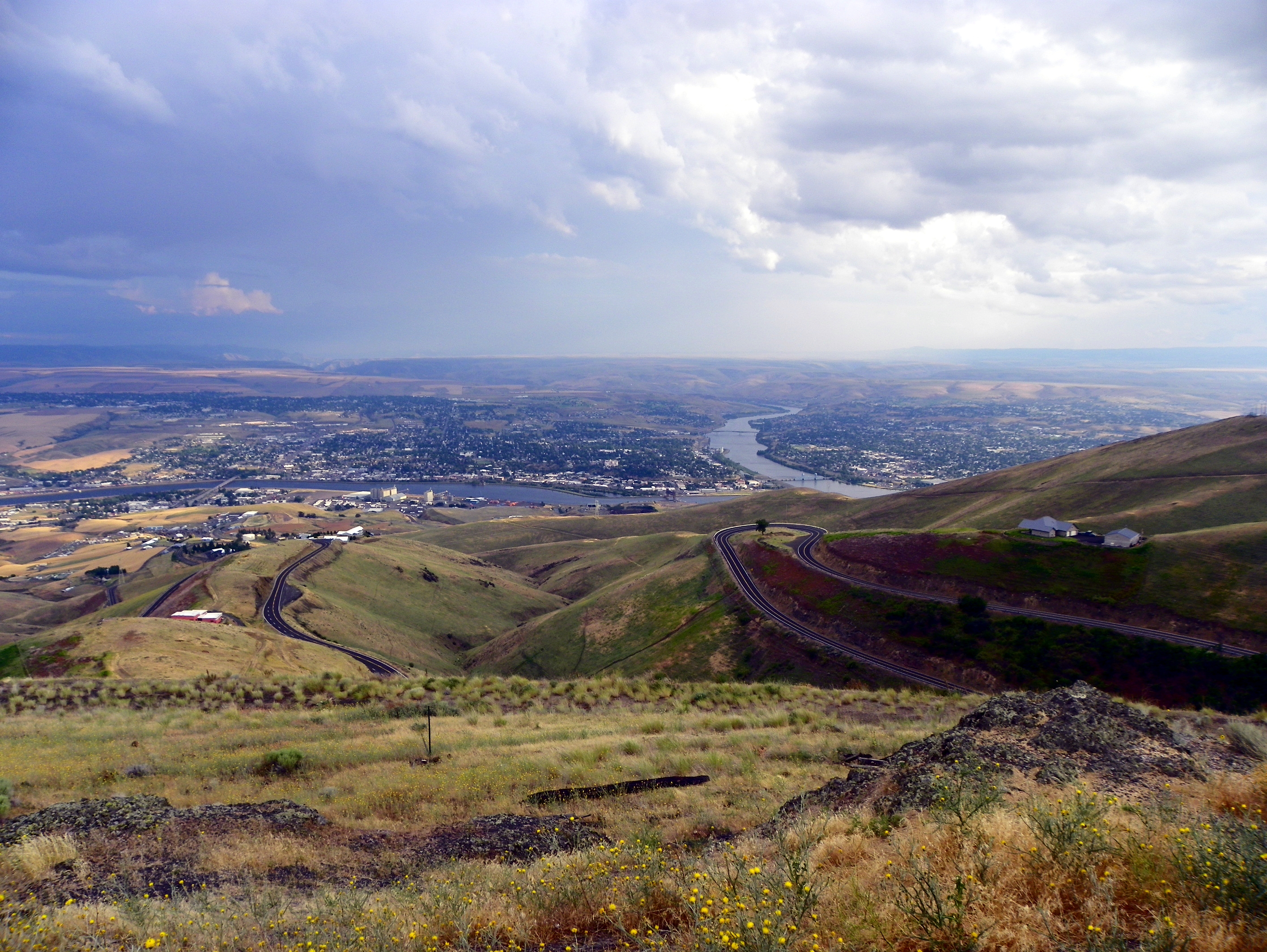
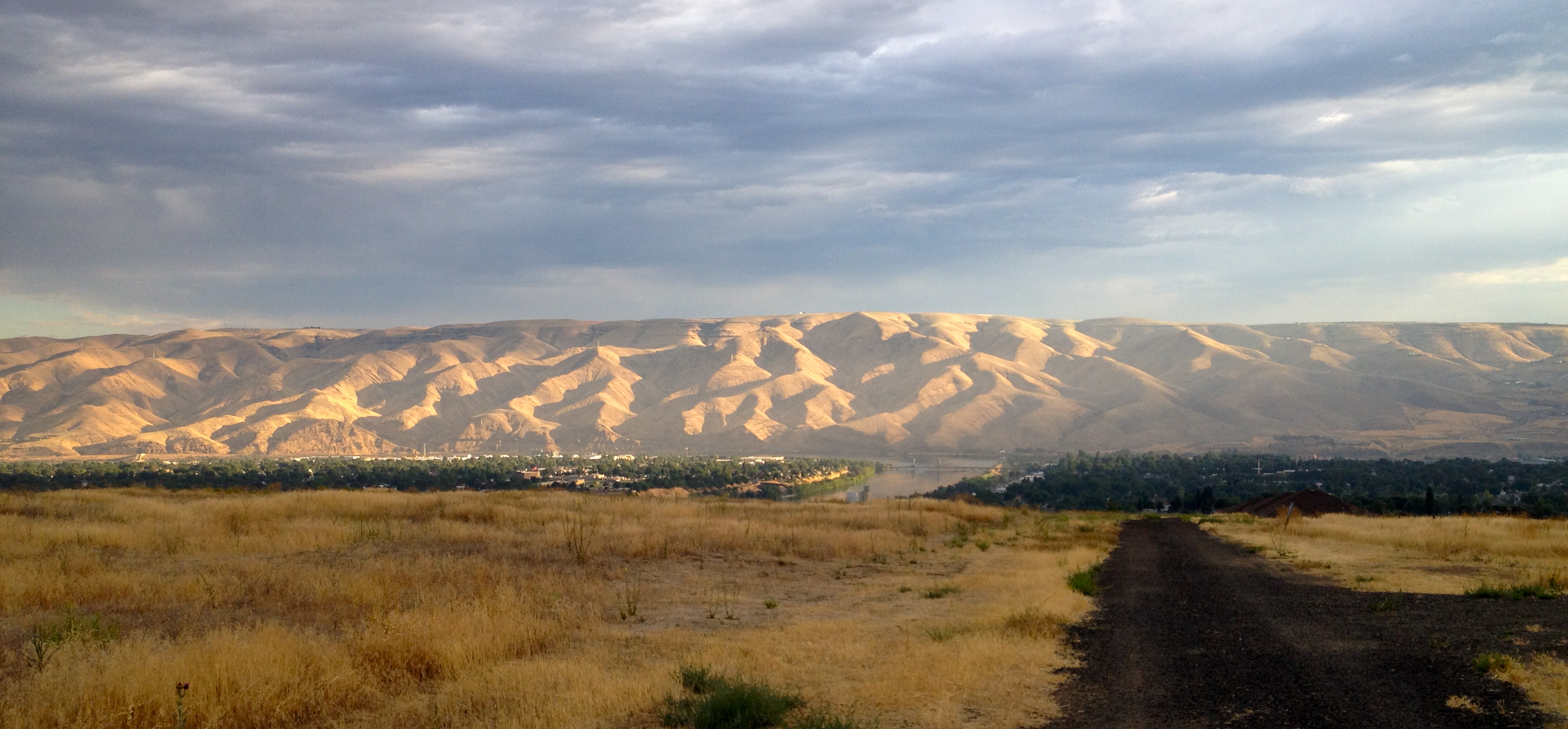
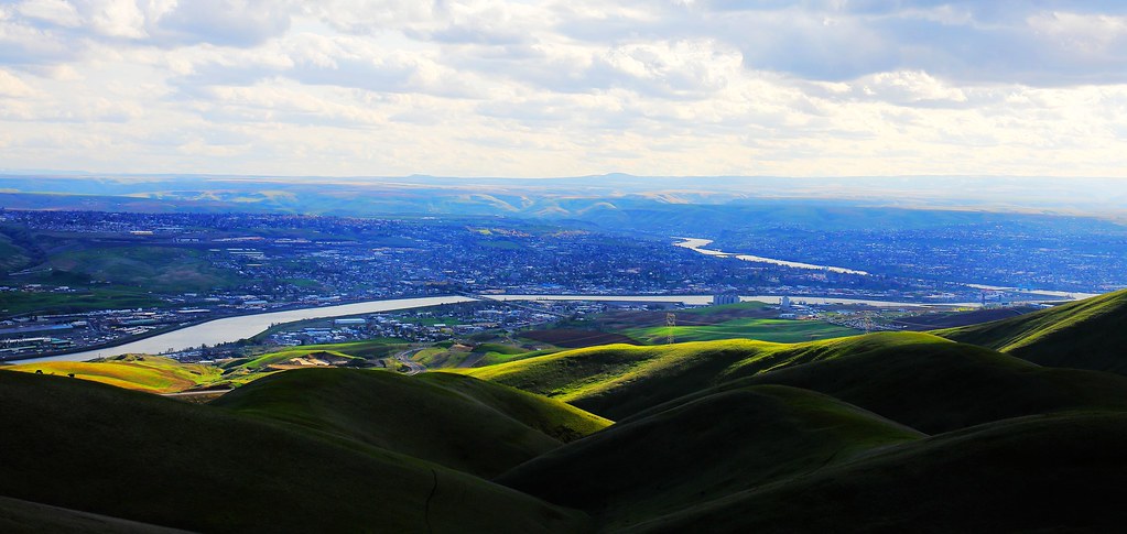
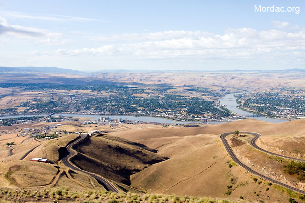
View of Lewiston, Idaho from Lewiston Hill

Letter "L" (Lewiston, Idaho), next to the Spiral Highway
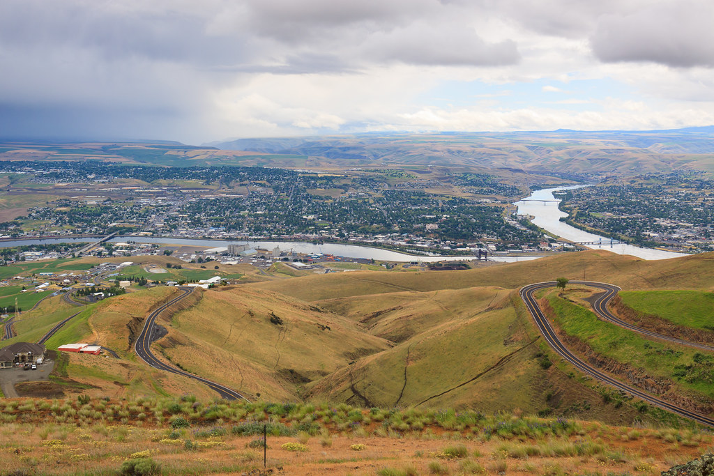
Lewiston-Clarkston
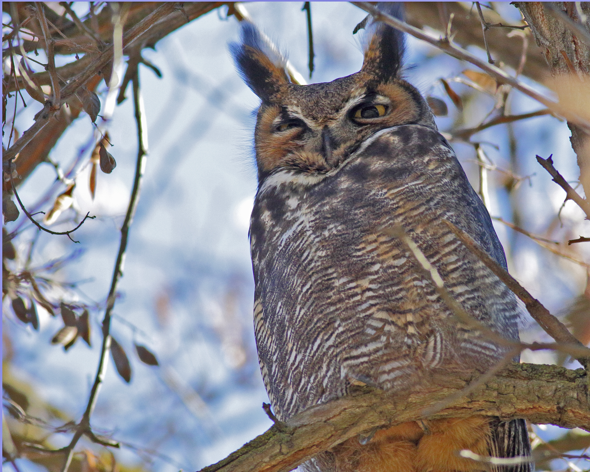
Great Horned Owl
Reach for the Sky
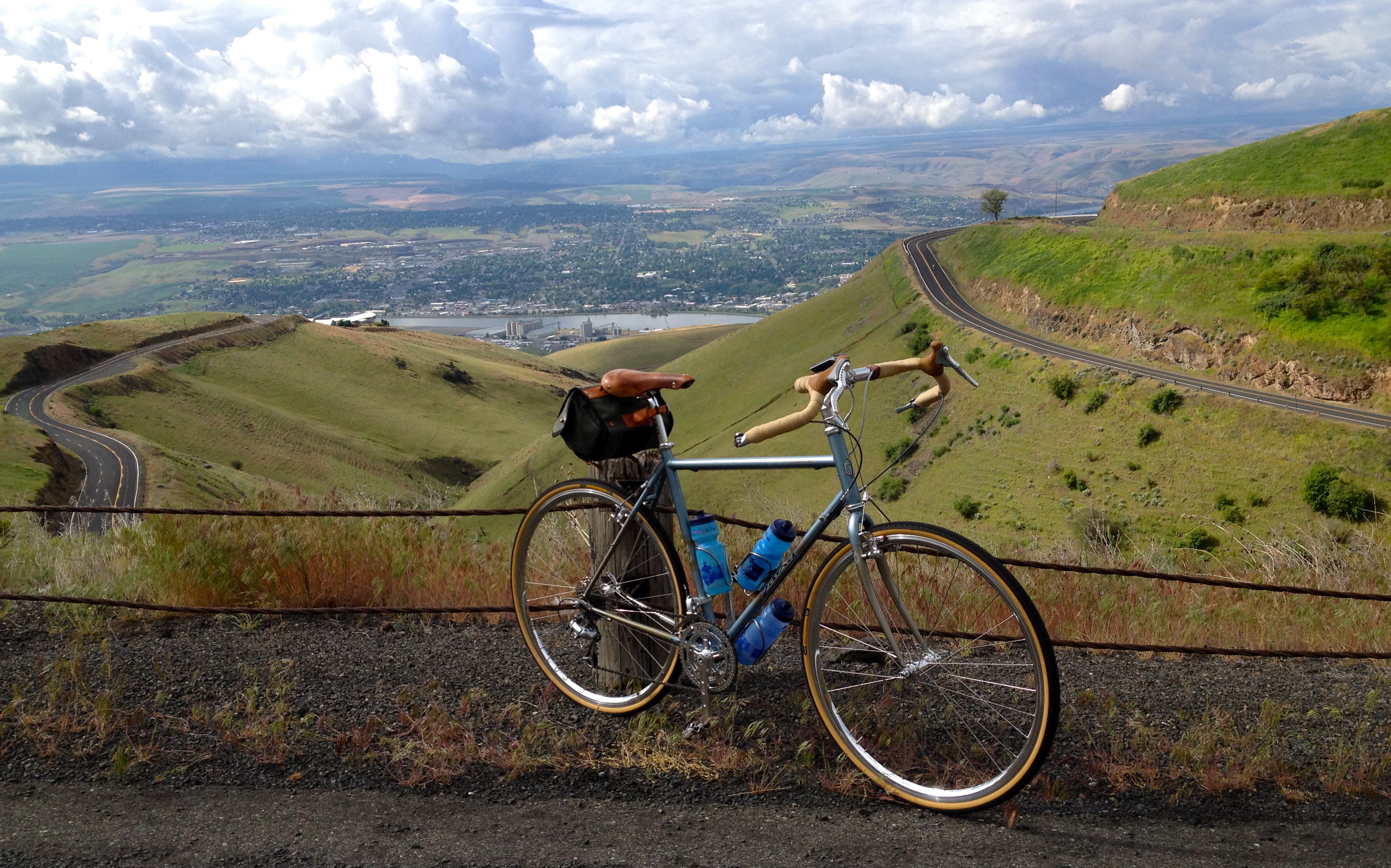
Saturday Morning Ride on the Spiral Hwy

View from Lewiston Hill
Morning walk

Old Carnegie Library (Lewiston, Idaho)
Have a View (in color)

Dock Boy takes a break....20050621_4096
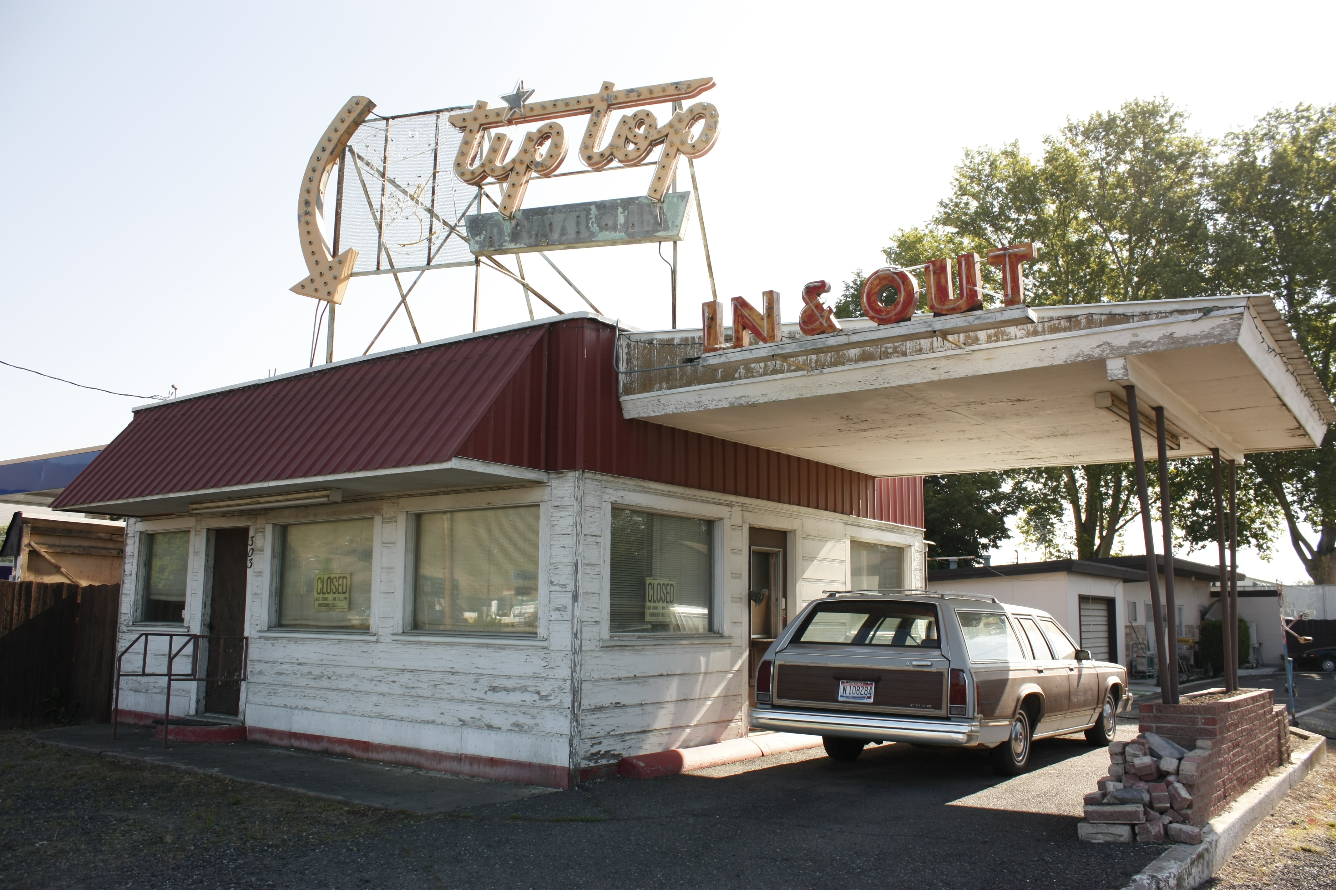
The Tip-Top drive-in
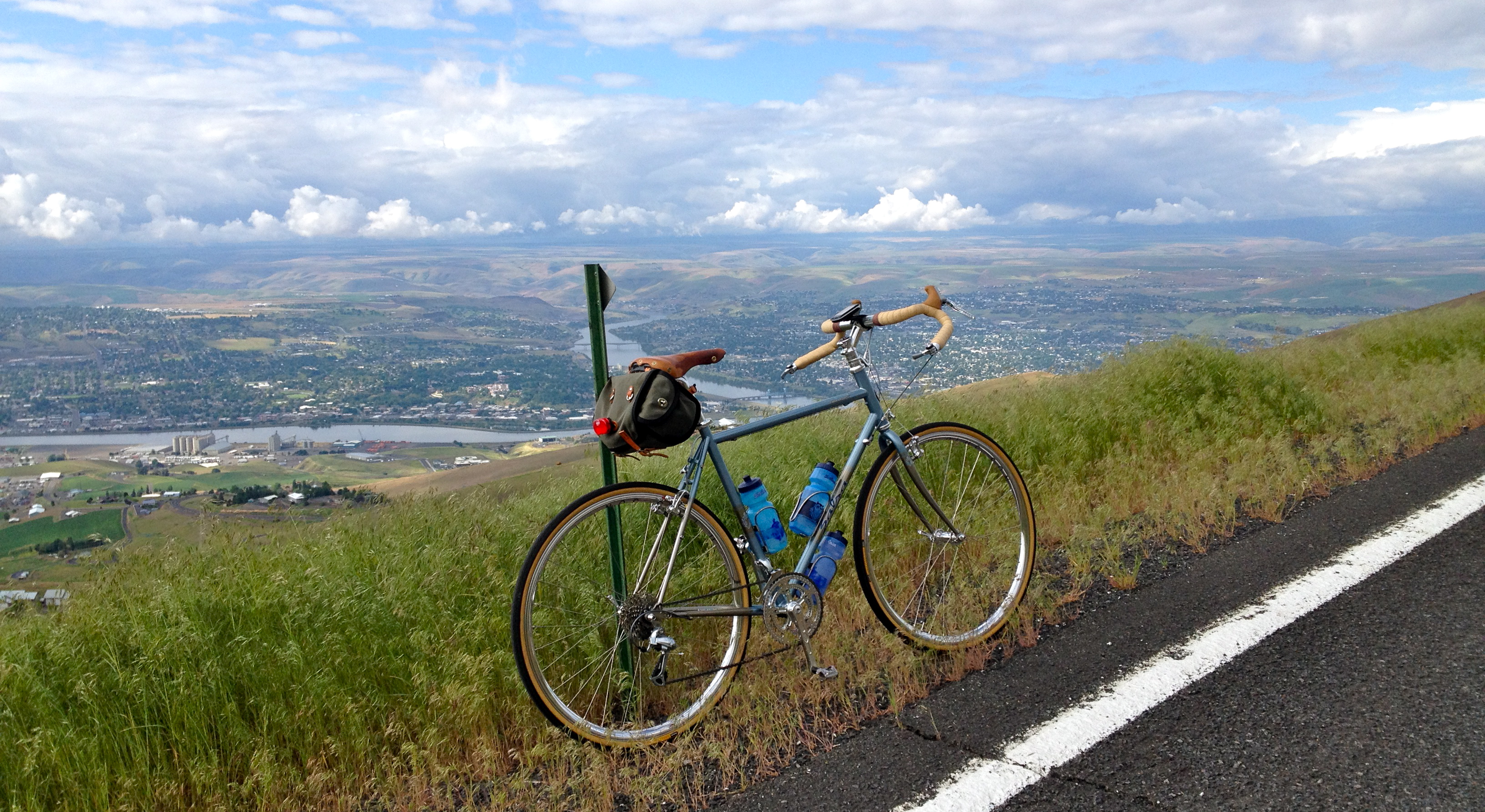
Saturday Morning Ride on the Spiral Hwy

1954 GMC 630 Truck

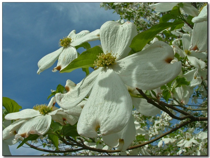
In Full Bloom
Lewiston, Idaho
Lewiston, Idaho
Yellow Rape Plant
Yellowlegs Comparison
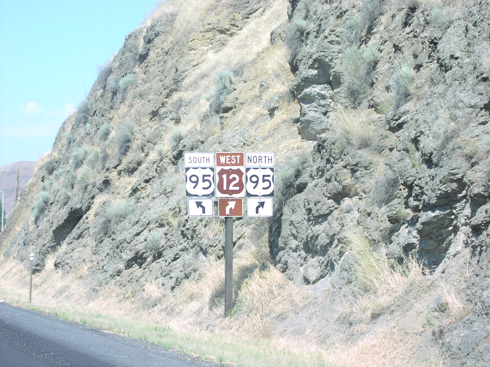
US-12 West at US-95

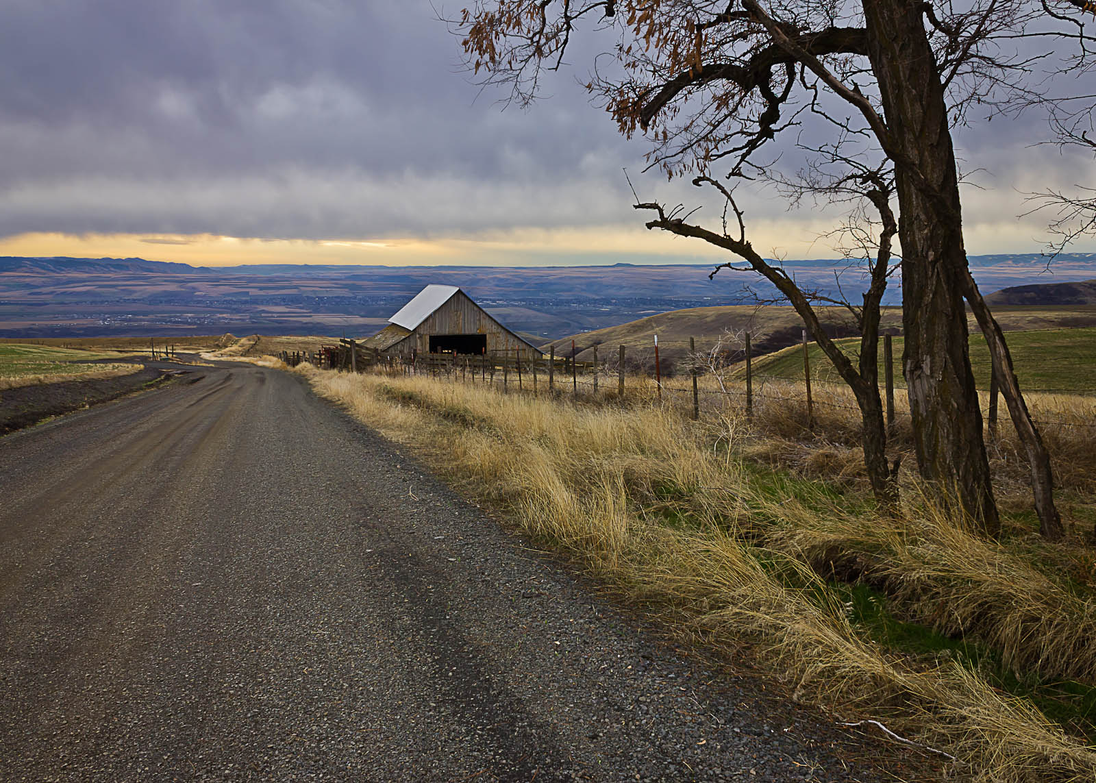
And Then There Were Barns
Lewiston, Idaho
A dash of winter in early march

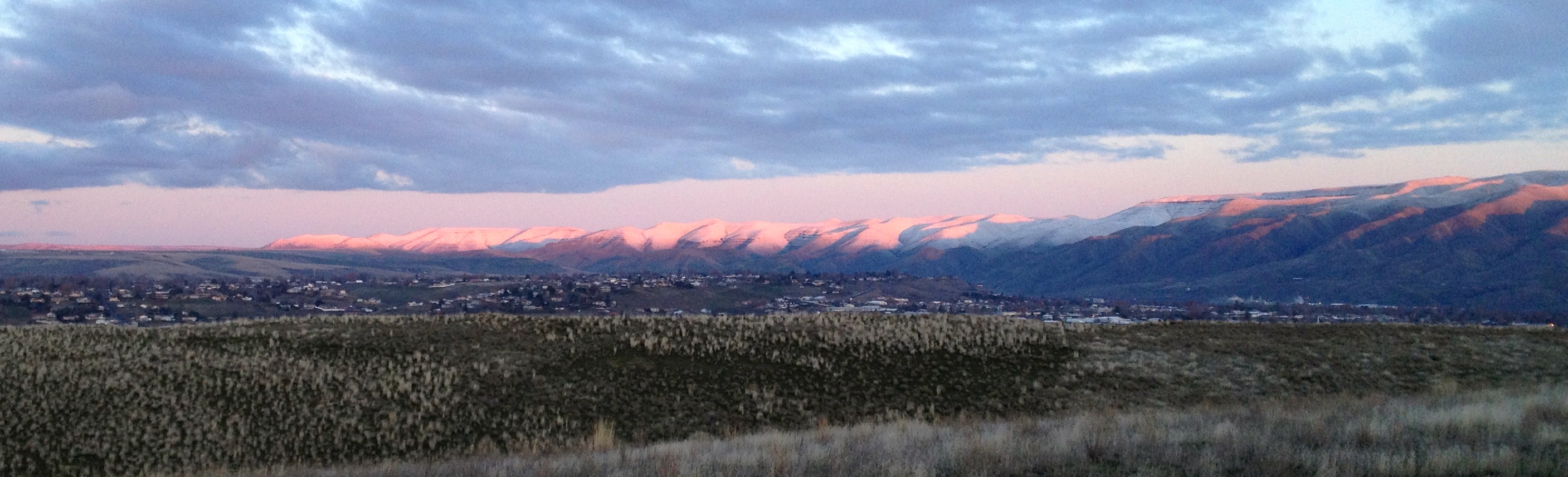
Glowing Sunset

Wagon Wheel Fence
IMG_1846 (1)

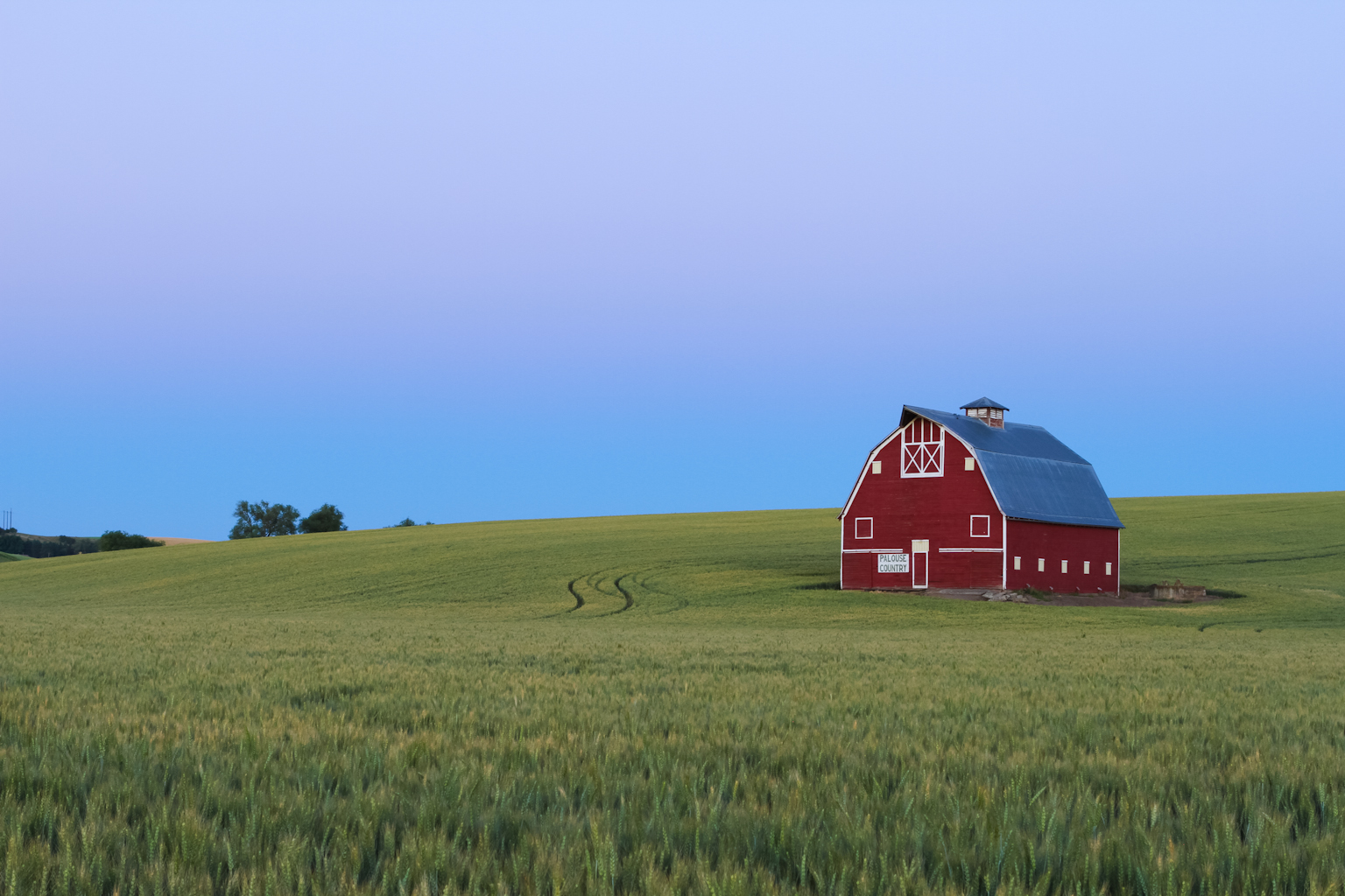
Red Barn in Field of Wheat
Plateau turns to desert, Lewiston
Twilight in Palouse Country

Friday Gravel
Topographic Map of Mill Rd, Lewiston, ID, USA
Find elevation by address:

Places near Mill Rd, Lewiston, ID, USA:
1190 Bighorn Dr
7105 Flyby Dr
Camas Prairie
East Main Street
Idaho Street
Waffles N' More
23748 Big Sky Ln
Idaho St, Lewiston, ID, USA
15432 Evans Rd
828 Main St
712 10th Ave
601 Main St
Down River Rd, Lewiston, ID, USA
Clarkston
Diagonal St, Clarkston, WA, USA
Silver Dr, Spalding, ID, USA
225 E Oak Ave
Genesee
Spalding
Watson Store Rd, Lapwai, ID, USA
Recent Searches:
- Elevation of N, Mt Pleasant, UT, USA
- Elevation of 6 Rue Jules Ferry, Beausoleil, France
- Elevation of Sattva Horizon, 4JC6+G9P, Vinayak Nagar, Kattigenahalli, Bengaluru, Karnataka, India
- Elevation of Great Brook Sports, Gold Star Hwy, Groton, CT, USA
- Elevation of 10 Mountain Laurels Dr, Nashua, NH, USA
- Elevation of 16 Gilboa Ln, Nashua, NH, USA
- Elevation of Laurel Rd, Townsend, TN, USA
- Elevation of 3 Nestling Wood Dr, Long Valley, NJ, USA
- Elevation of Ilungu, Tanzania
- Elevation of Yellow Springs Road, Yellow Springs Rd, Chester Springs, PA, USA