Elevation of Howard Gulch, Juliaetta, ID, USA
Location: United States > Idaho > Nez Perce County > Juliaetta >
Longitude: -116.76967
Latitude: 46.480155
Elevation: 259m / 850feet
Barometric Pressure: 98KPa
Elevation Map:
Satellite Map:
Related Photos:
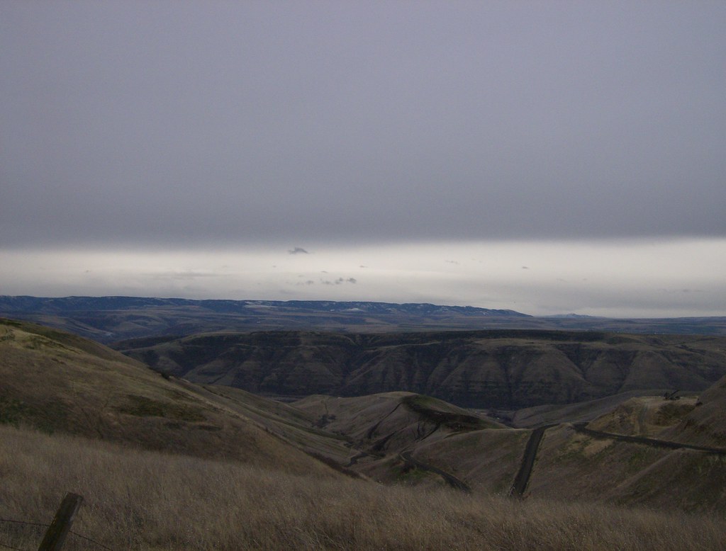
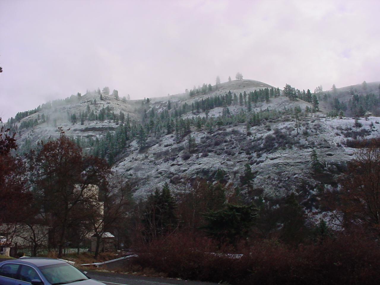
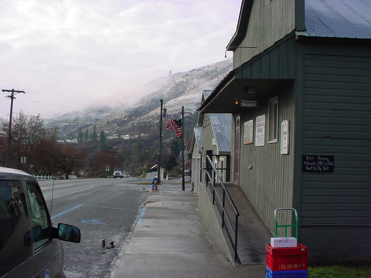
View from Coyote Gulch Rd.

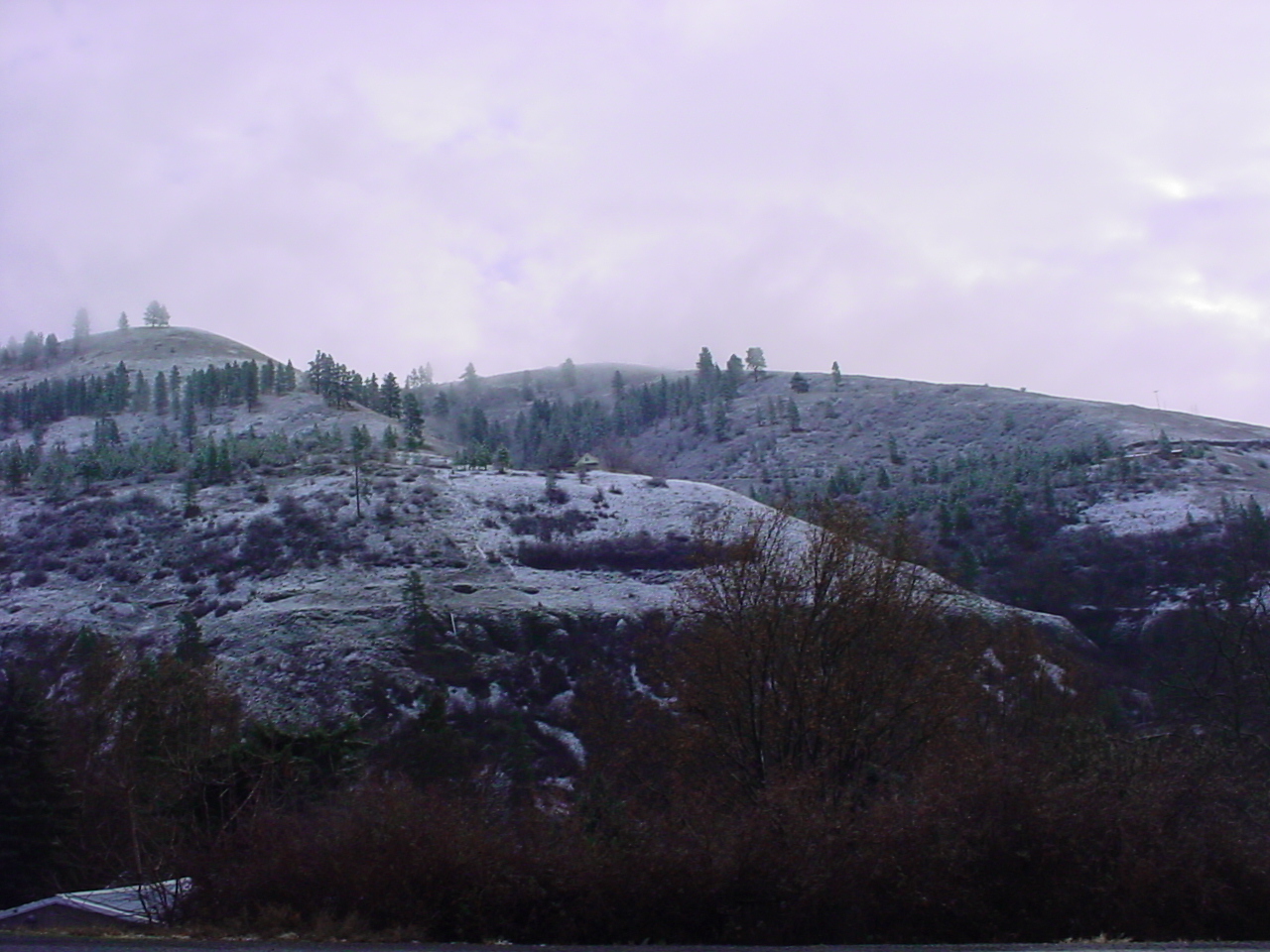
D70-0801-061 - View
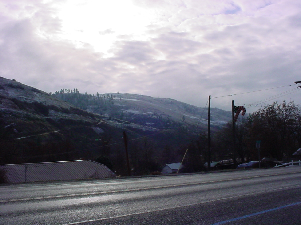
Have a View (in color)
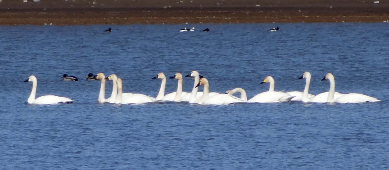
Mar4,2013f 116 Tundra Swan 11 + 1 Bewick's Swan

Bald Eagle (immature)
Clearwater River Canyon
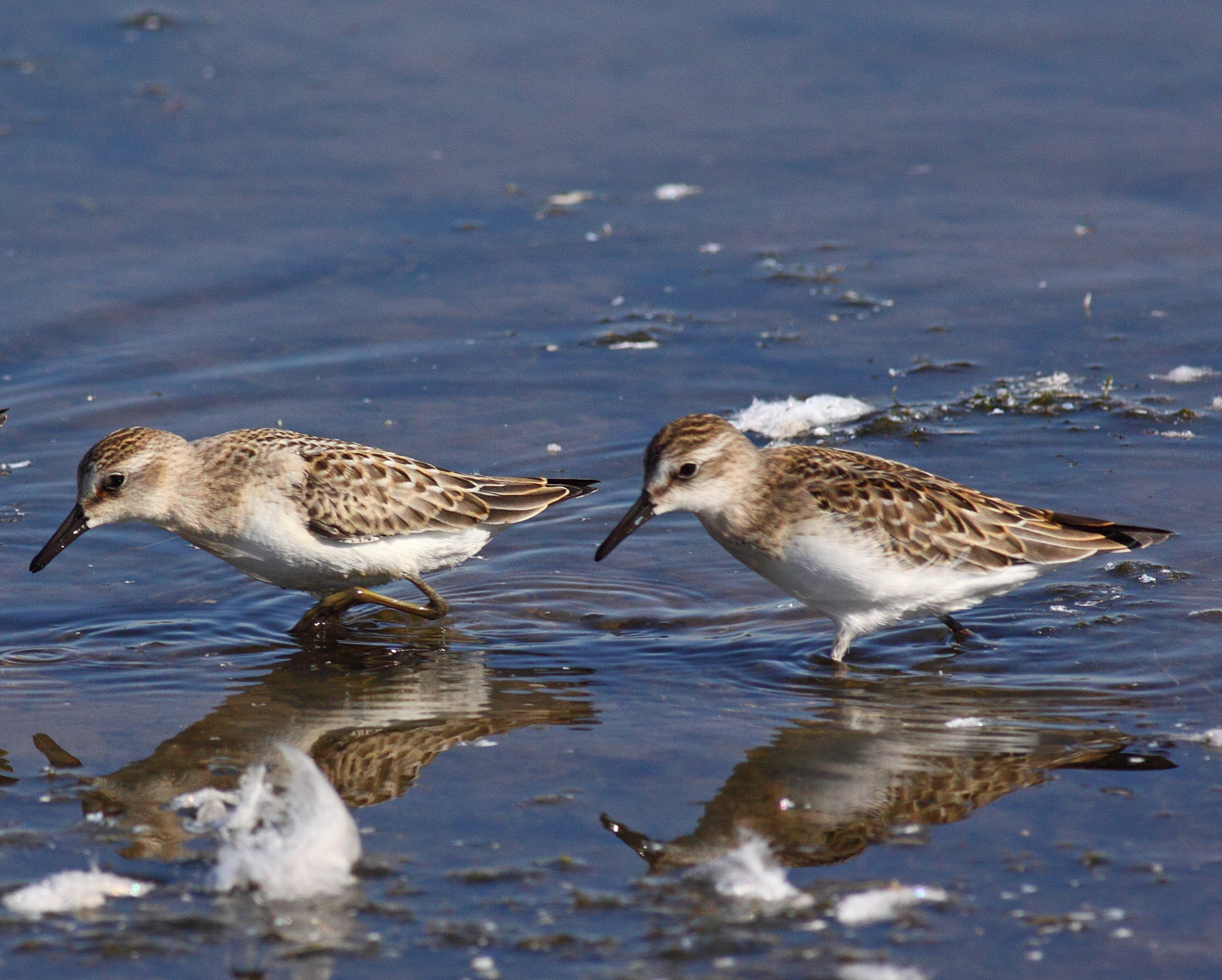
"peeps" ID Difficulties

Willet and American Avocet
LatahLibrary365-20071201-D
LatahLibrary365-20071201-E

Mar4,2013f 118 Bewick's Swan
LatahLibrary365-20071201-F
LatahLibrary365-20071201-C
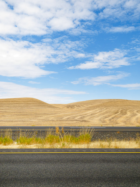
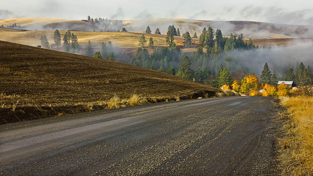
Palouse Freeway
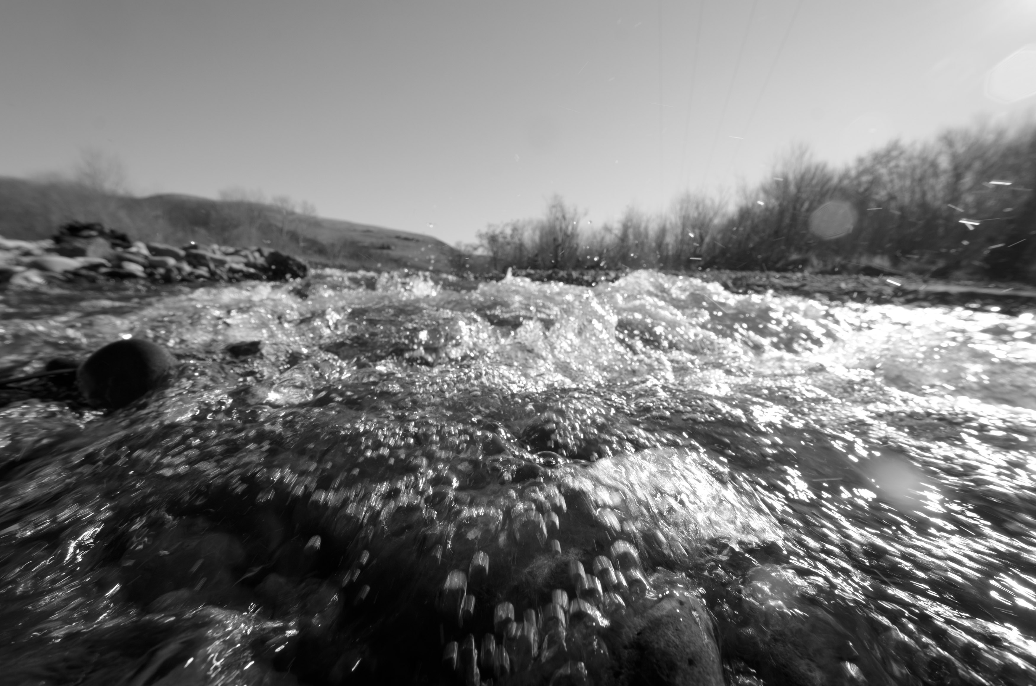
Splash!

Something for Saturday
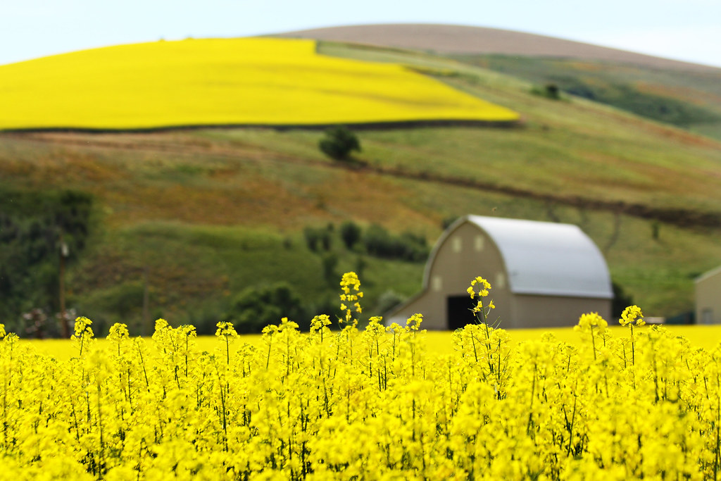
In Full Bloom
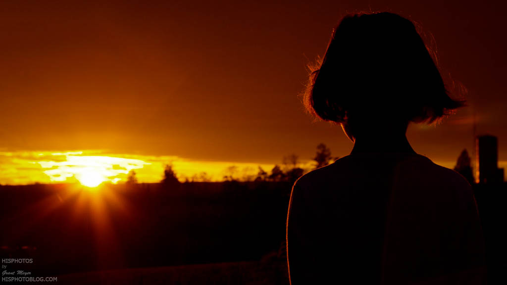
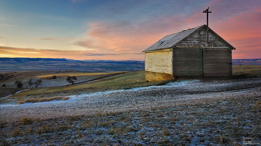
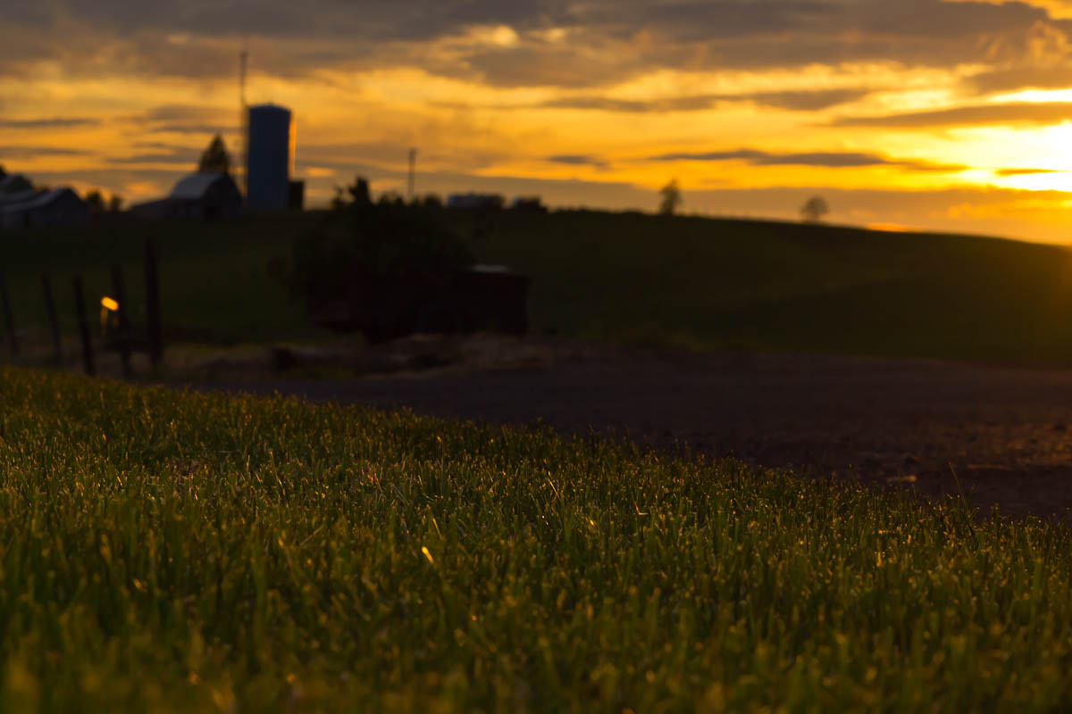
Glowing Sunset
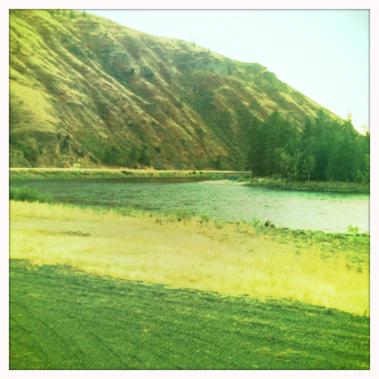
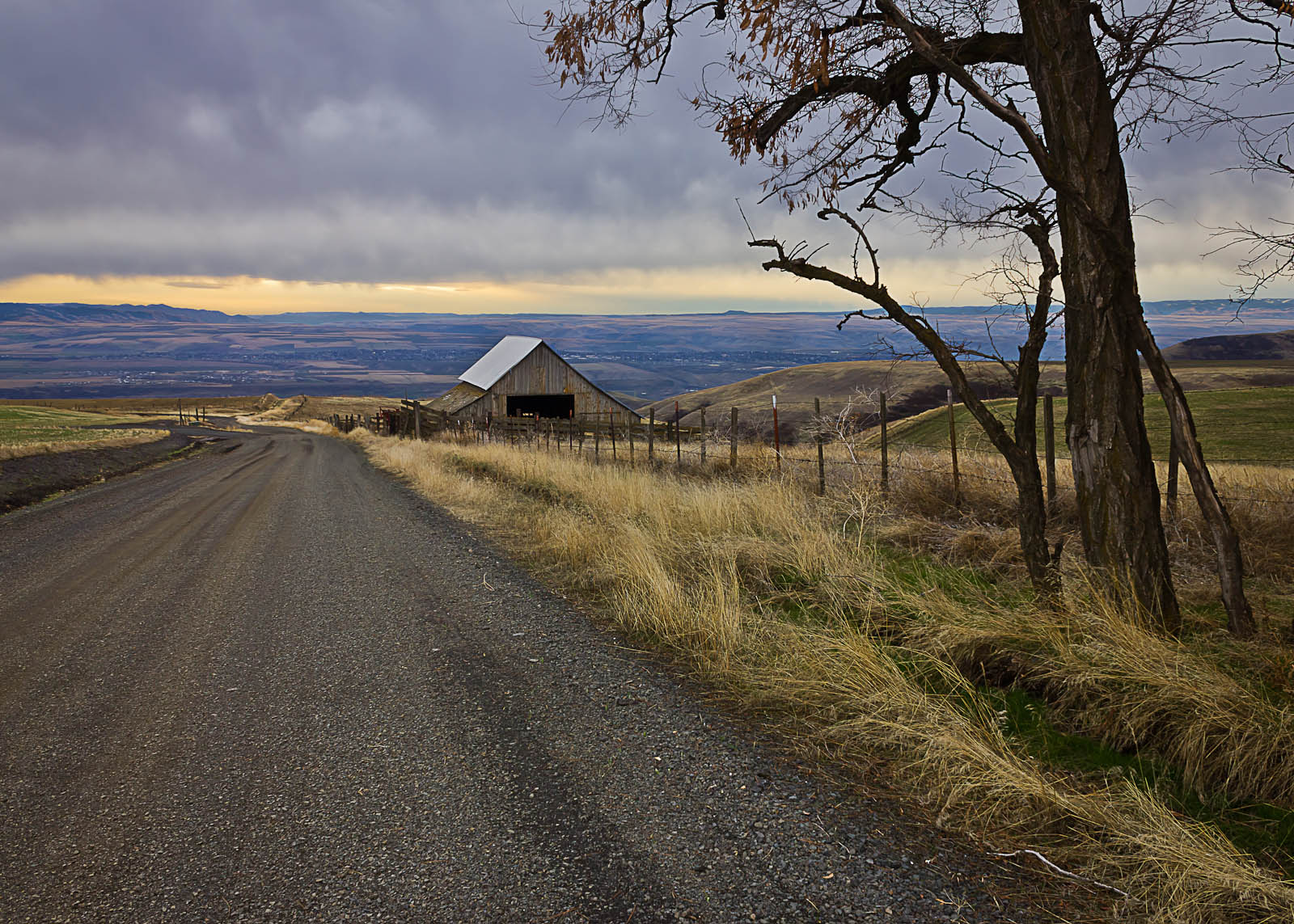
Looks Like A Good Spot To Camp!
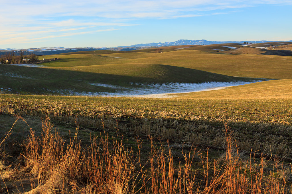
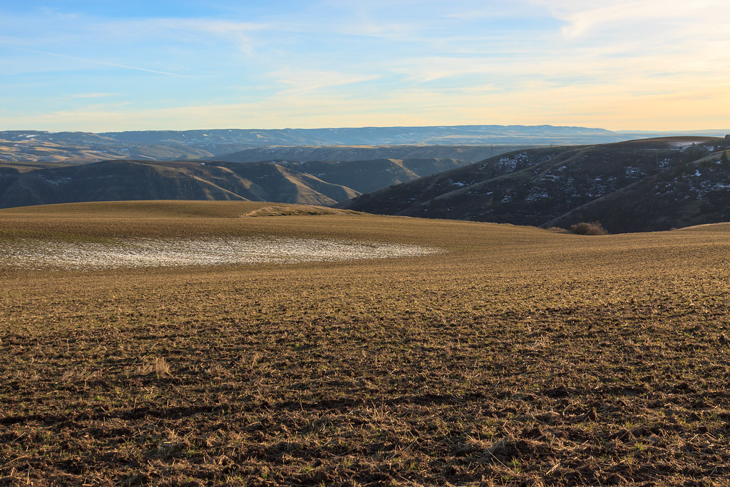
A little Palouse?

Rape Field near Culdesac, Idaho
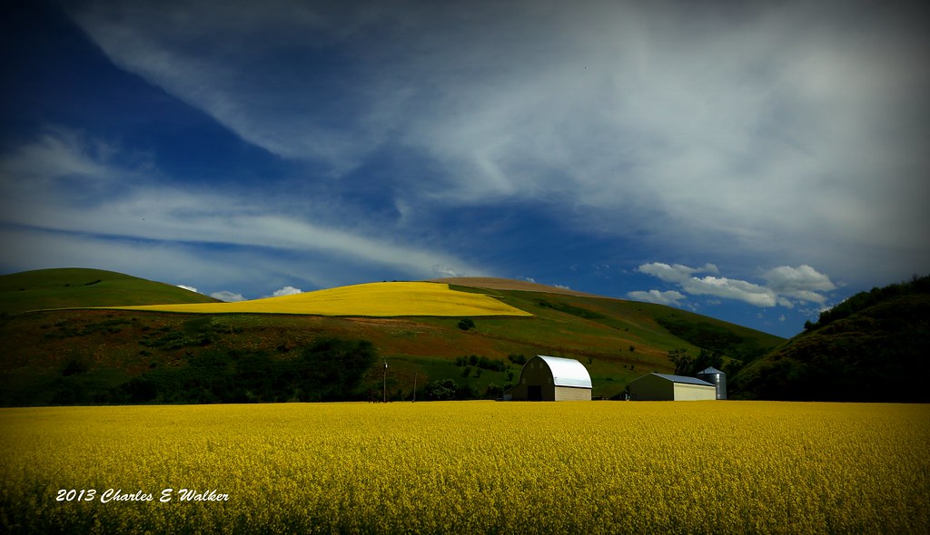
Yellow Rape Plant
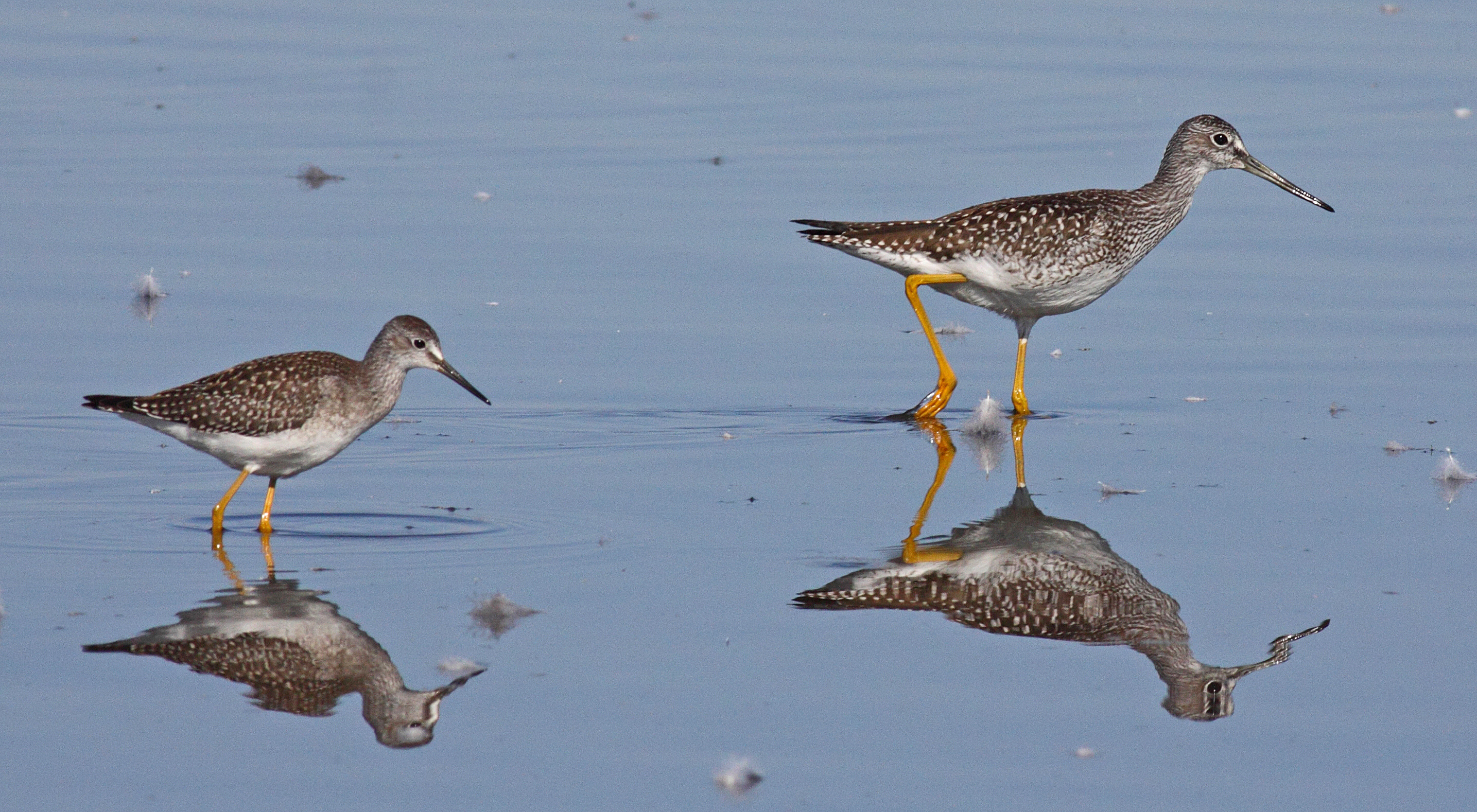
Yellowlegs Comparison
Colors in the mist
Early Riser
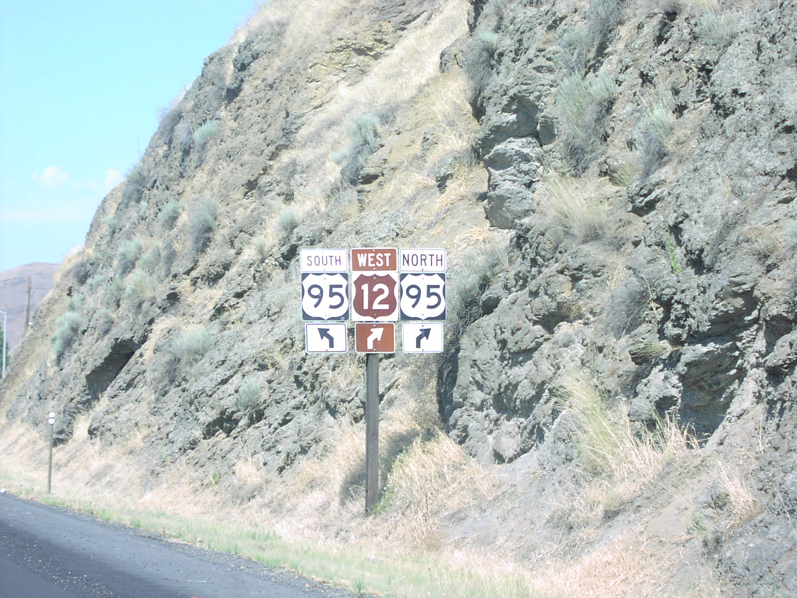
US-12 West at US-95
Like a Dream...
#clearwater #stinkhole

Pectoral Sandpipers
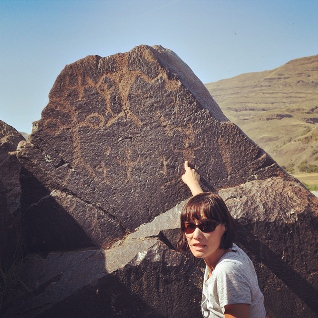
Look, #petroglyphs!
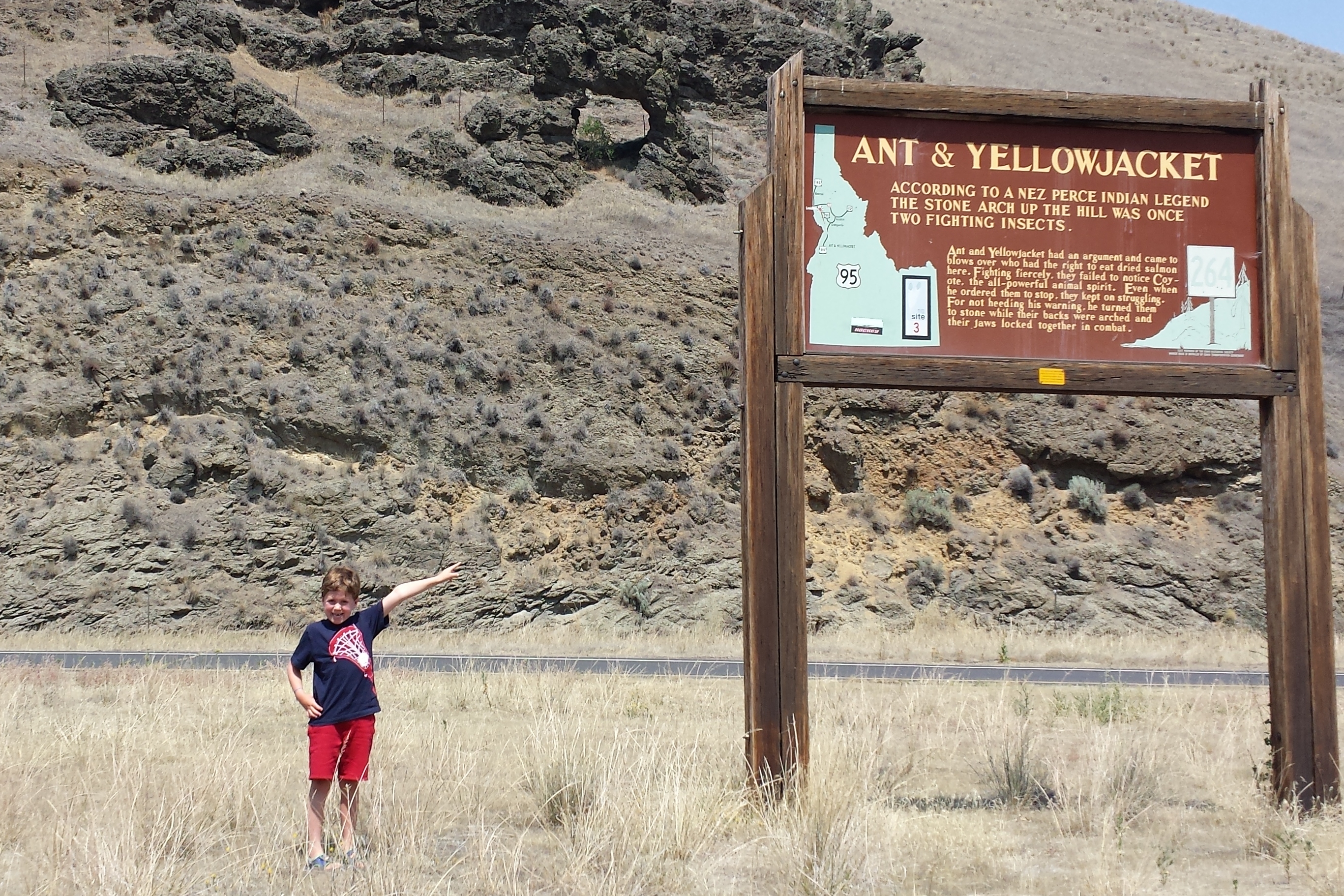
Ant & Yellowjacket
Topographic Map of Howard Gulch, Juliaetta, ID, USA
Find elevation by address:

Places near Howard Gulch, Juliaetta, ID, USA:
Arrow Highline Road
US-12, Juliaetta, ID, USA
Watson Store Rd, Lapwai, ID, USA
Spalding
22144 Spirea Ln
Silver Dr, Spalding, ID, USA
225 E Oak Ave
7105 Flyby Dr
Genesee
1190 Bighorn Dr
15432 Evans Rd
Mill Rd, Lewiston, ID, USA
Camas Prairie
East Main Street
23748 Big Sky Ln
Waffles N' More
Idaho Street
Idaho St, Lewiston, ID, USA
828 Main St
712 10th Ave
Recent Searches:
- Elevation of Ilungu, Tanzania
- Elevation of Yellow Springs Road, Yellow Springs Rd, Chester Springs, PA, USA
- Elevation of Rēzekne Municipality, Latvia
- Elevation of Plikpūrmaļi, Vērēmi Parish, Rēzekne Municipality, LV-, Latvia
- Elevation of 2 Henschke Ct, Caboolture QLD, Australia
- Elevation of Redondo Ave, Long Beach, CA, USA
- Elevation of Sadovaya Ulitsa, 20, Rezh, Sverdlovskaya oblast', Russia
- Elevation of Ulitsa Kalinina, 79, Rezh, Sverdlovskaya oblast', Russia
- Elevation of 72-31 Metropolitan Ave, Middle Village, NY, USA
- Elevation of 76 Metropolitan Ave, Brooklyn, NY, USA