Elevation of Shotgun Lane, Shotgun Ln, Georgetown, CA, USA

Location: United States > California > El Dorado County > Georgetown >

Longitude: -120.73907

Latitude: 38.9740751

Elevation: 1066m / 3497feet

Barometric Pressure: 89KPa

Elevation Map:

elevation map of Shotgun Lane, Shotgun Ln, Georgetown, CA, USA

Satellite Map:

Satellite map of Shotgun Lane, Shotgun Ln, Georgetown, CA, USA

Related Photos:

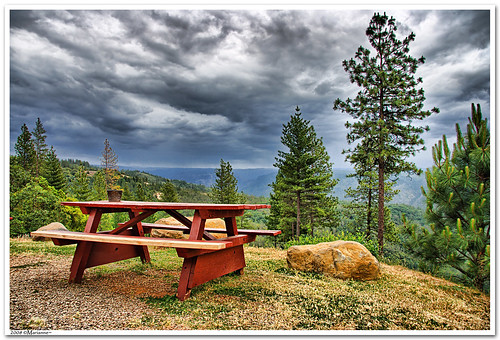
california clouds bench interestingness bravo picnic view explore foresthill 57 sierrafoothills blueribbonwinner 1raw impressedbeauty sorrypaul dphdr
Before the Rain
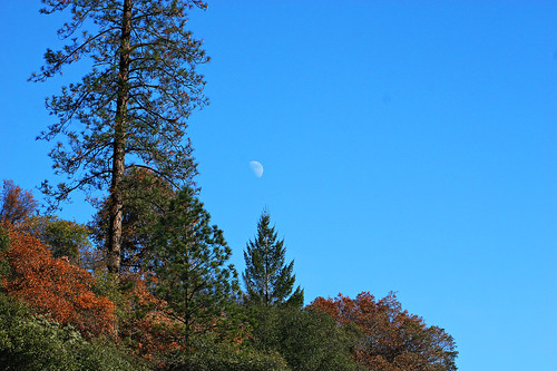
california blue sky moon mountain tree 20d canon landscape daylight photo sierra photograph half sacramento noon midday placercounty casch canon2880f284l familygetty
Midday Moon 1786
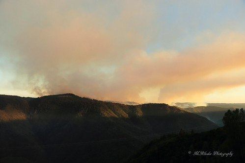
california summer canon fire july eldorado 7d firefighting tamron placer neu wildfire blm americanriver 2016 usfs eldoradonationalforest enf aeu calfire canon7dmarkii tamron150600mm trailheadfire
The view from Foresthill
california mountain lake snow 20d canon landscape photo high country tahoe sierra photograph sacramento capped foresthill placercounty familygetty
High Sierra Vista 1766
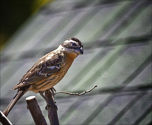
bird grosbeak placercounty sierrafoothills blackheadedgrosbeak pheucticusmelanocephalus perchingbird femaleblackheadedgrosbeak
Black-headed Grosbeak
View from almost the top of Ralston Ridge
From Foresthill on my ride
wildfire tahoenationalforest americanfire
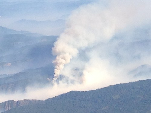
Southwest Airlines' flight from Las Vegas today flew over the American Fire. Image: Bill Roush
hike photomatix
IMG_2192_HDR.jpg
landscape weimar waterfall jims yankee colfax d800 1424
Yankee Jim's Waterfall
2016 july california canon 7d canon7dmarkii summer forest enf eldoradonationalforest usfs eldorado stumpymeadows georgetown wentworthspringsroad kingfire
Stumpy Meadows
california foothills water creek canon waterfall stream sigma adobe cascades vivitar manfrotto placercounty sierranevadafoothills auburnstaterecreationarea devilsfalls canoneos50d manfrotto190xprobtripod lightroom3 zeikos northforkamericanrivercanyon adobephotoshopcs5 adobebridgecs5 sigma1770mmf2845dcmacrolens zeikoscpl devilscanyoncreek vivitarwirelessshutterreleasevivrc200 manfrottobasicpantilthead
Falling Away
elements
Perfect lil Christmas trees
In Bear Country
california foothills creek canon river waterfall hiking sigma places placercounty americanriver sierranevadafoothills northforkamericanriver auburnstaterecreationarea canoneos50d seasonalcreek sigma1770mmf2845dcmacrolens zeikoscpl conkinfilterholder leefilter9ndgradpseries
Seasonal Waterfall
california clouds landscape hiking hike sierras sierranevada sierrafoothills michiganbluff
A grey morning in the California Sierras
wildfire tahoenationalforest americanfire
Southwest Airlines' flight from Las Vegas today flew over the American Fire. Image: Bill Roush
foresthill placer neu blm usfs foresthillroad tnf 2013 americanfire
American Fire 08-16-13
california rocks mining boulders placercounty motherlode goldcountry placermining michiganbluff goldcountryplacer
Placer Mining
petrescue georgetownfire lowermainfire
untitled047-27.jpg
california friends morgan
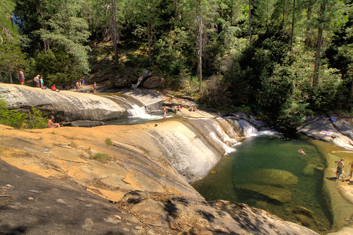
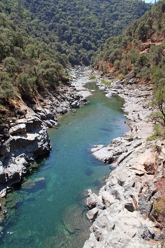
Swimming hole on Yankee Jim Road
california rock sierranevada serpentine eldoradocounty traversecreek
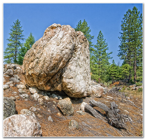
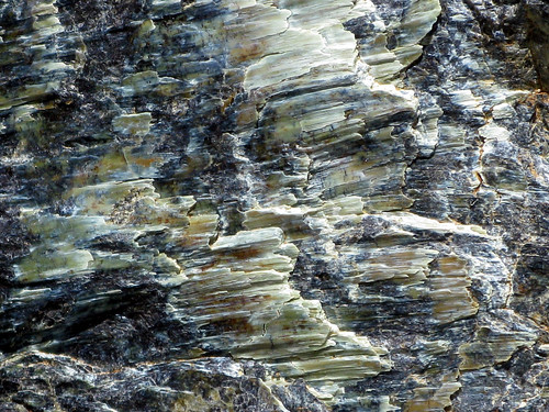
serpentine rock
california summer canon fire july eldorado 7d firefighting tamron placer neu wildfire blm americanriver 2016 usfs eldoradonationalforest enf aeu calfire canon7dmarkii tamron150600mm trailheadfire
Late afternoon drop
california unitedstates foresthill
IMG_4486.jpg
california unitedstates
IMG_4457.jpg
green water rock river fun day time great rapids
American River