Elevation of Chestnut Hill Rd, Georgetown, CA, USA
Location: United States > California > El Dorado County > Georgetown >
Longitude: -120.77723
Latitude: 38.915846
Elevation: 960m / 3150feet
Barometric Pressure: 90KPa
Elevation Map:
Satellite Map:
Related Photos:
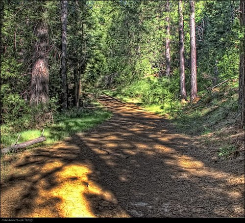
Before the Rain

The view from Foresthill
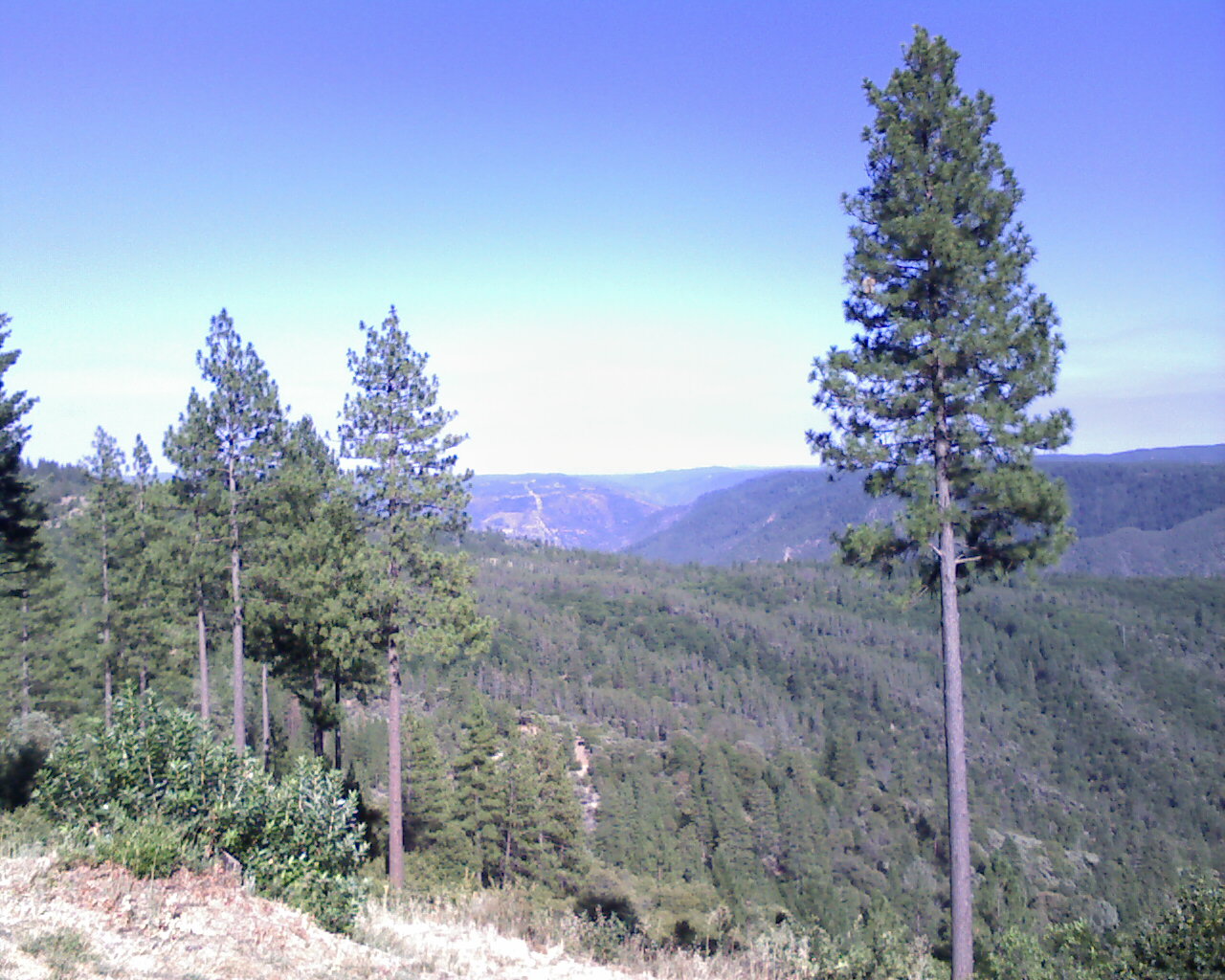
From Foresthill on my ride

Hand Stacked Rock Wall – Can You Find the Funny Feature?
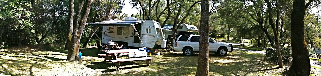
RV Camping..
View from almost the top of Ralston Ridge
Midday Moon 1786

Black-headed Grosbeak
High Sierra Vista 1766
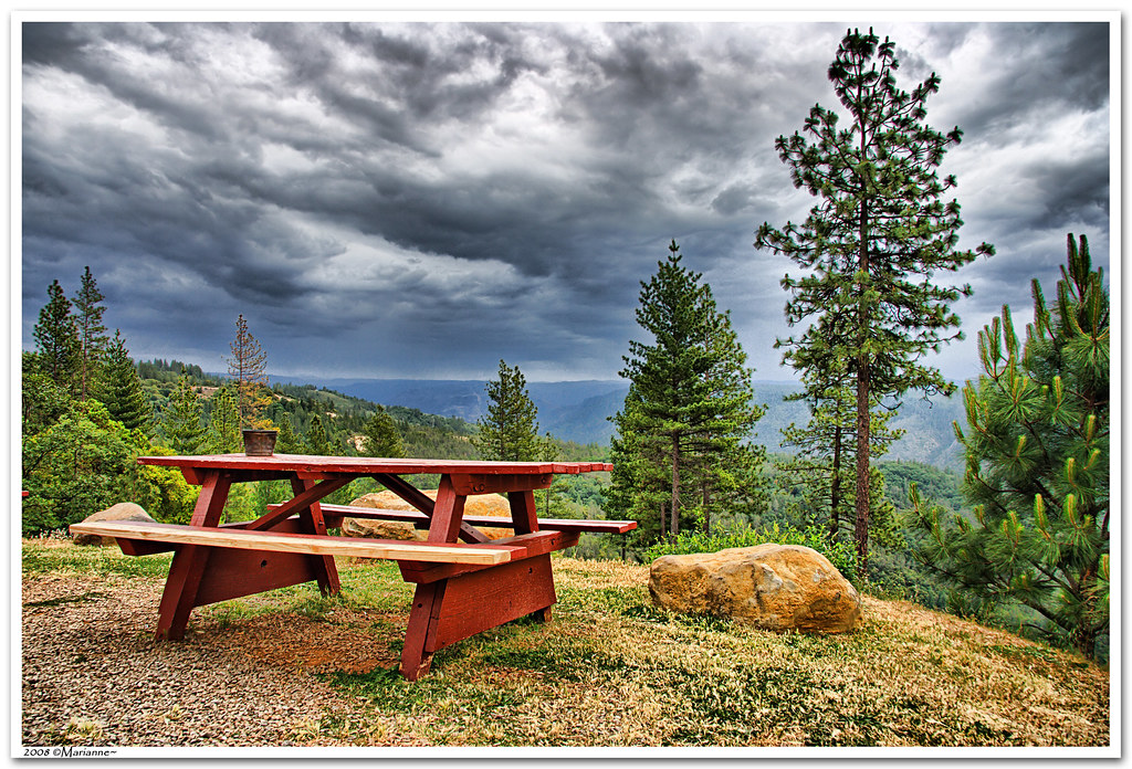
Dark Thunderclouds

Thunderclouds Over the Crest
This place is a Thomas Kincaid Disney wedging cake vineyard with music coming out of rocks and plastic flowers galore with awesome views and vineyard
Auburn 32-mile Hike

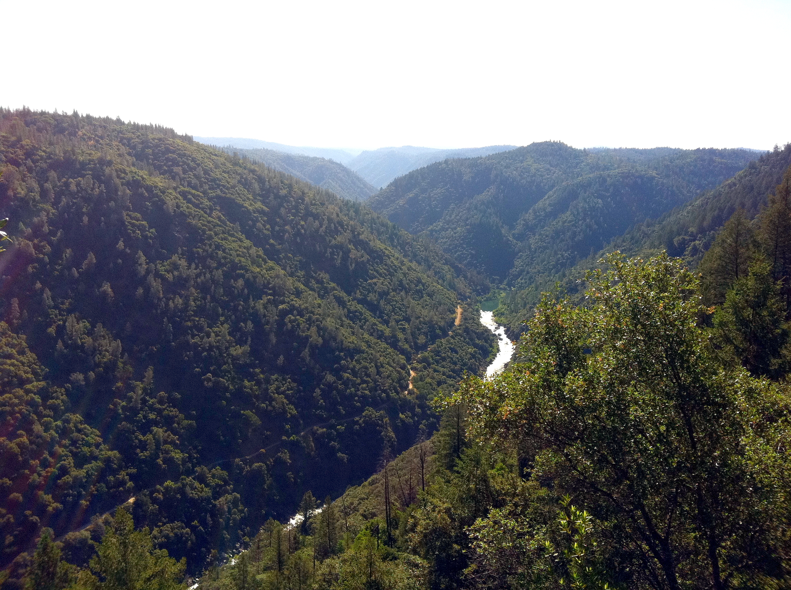
View from almost the top of Ralston Ridge
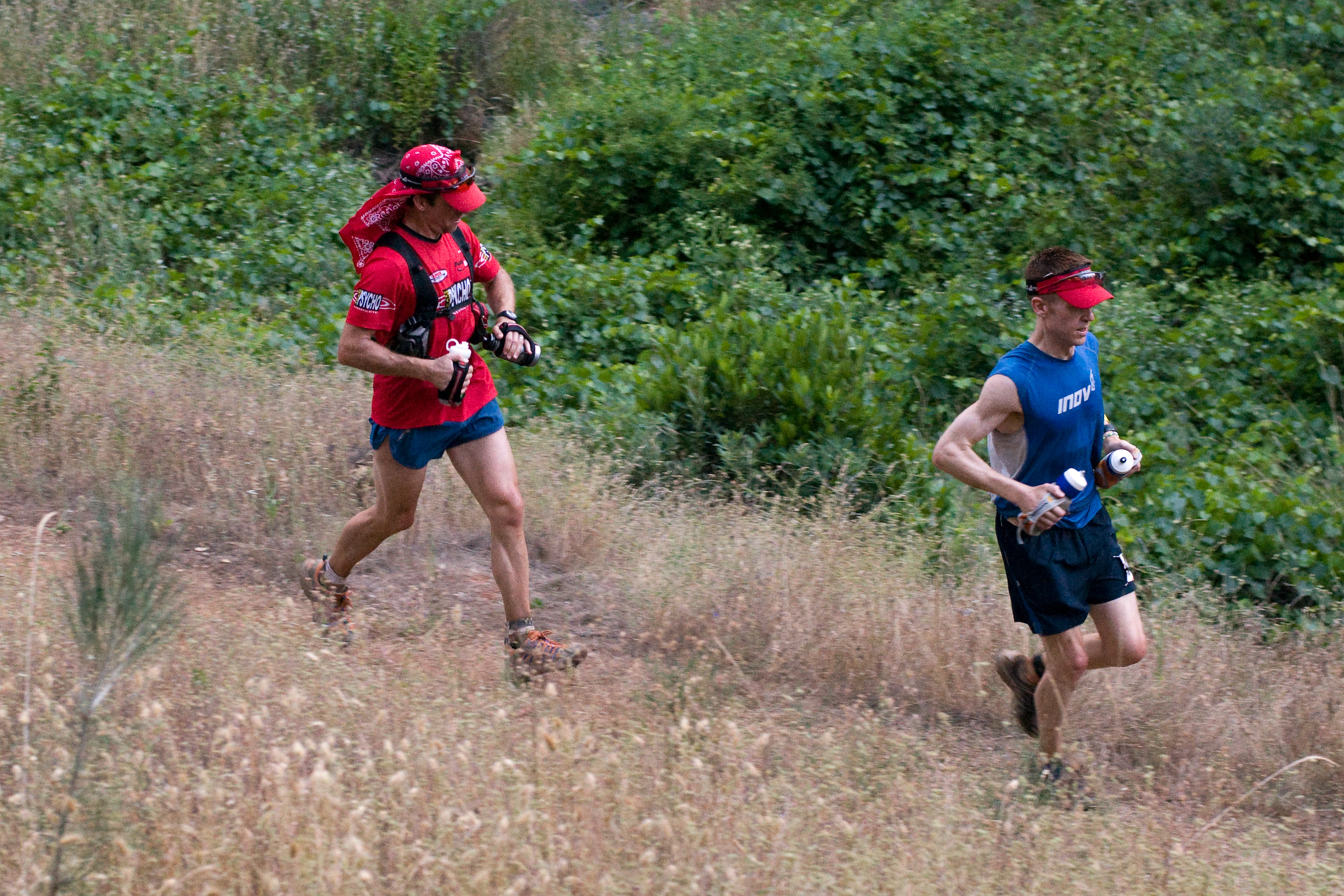
Western States runner

View from almost the top of Ralston Ridge
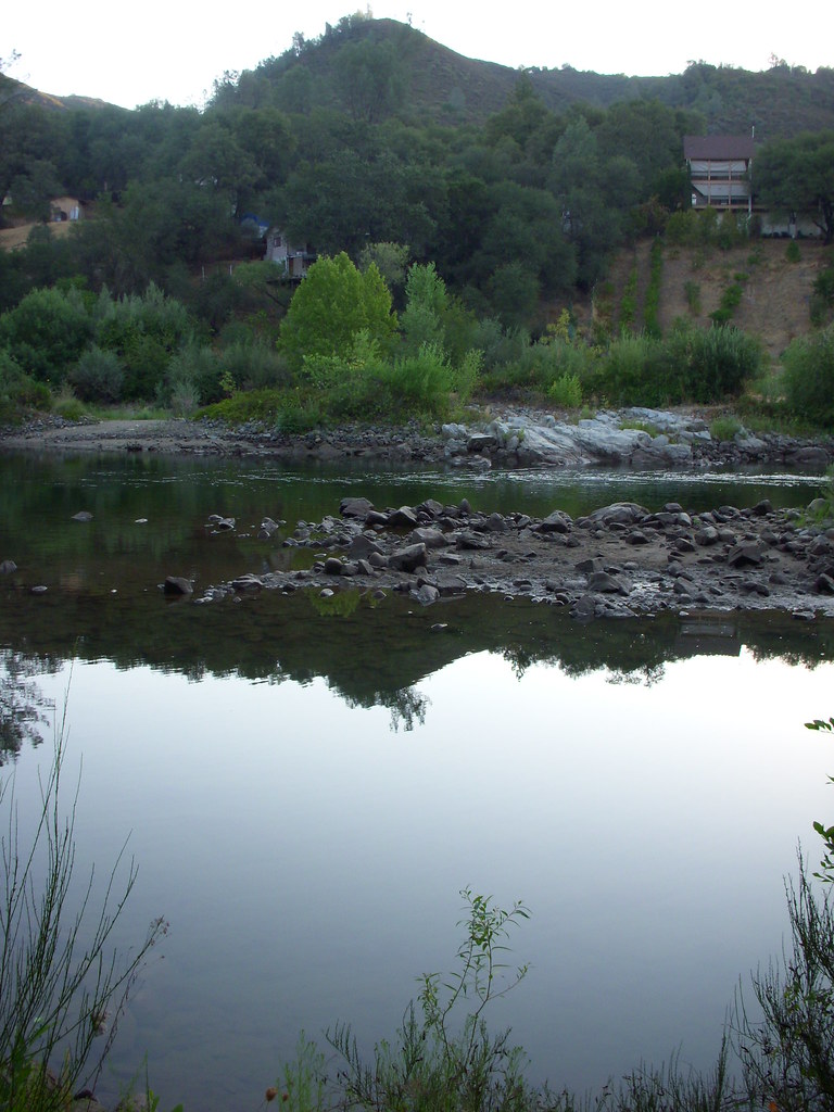
Down by the River
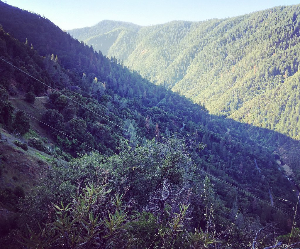
View from the road

GVCarShow-6

psycho runner
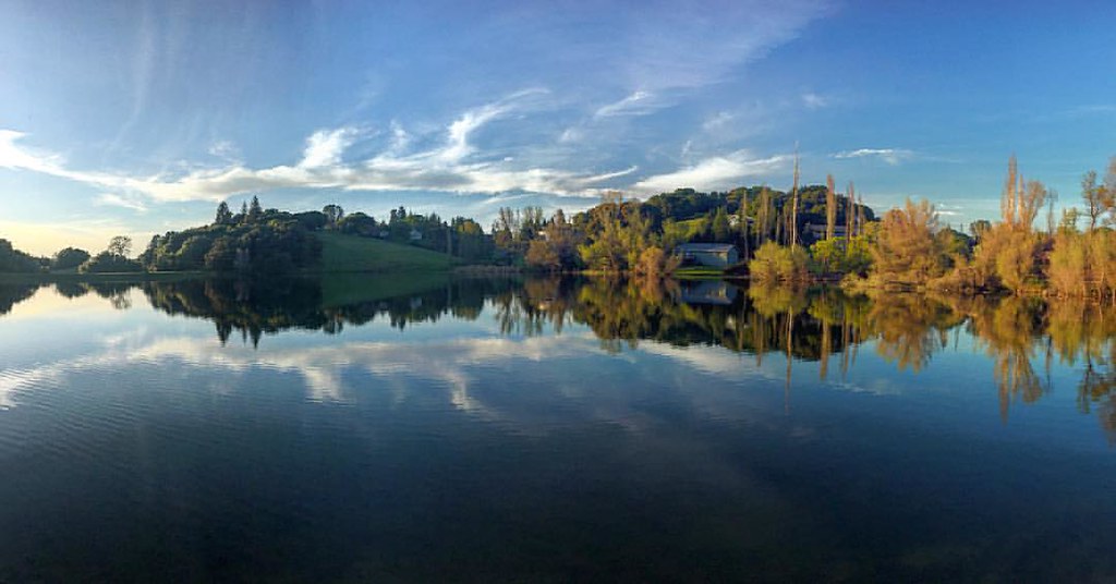
Sometimes you get off the bike and take a hike around the lake... #lakeview #california #perfectday #hiking #trails #homestate #hearthealth #cardio #hikecalifornia #sunshine #peace #quiet #reflection
Forty Acres and a Mule
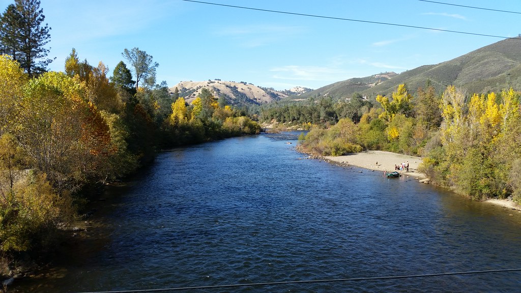
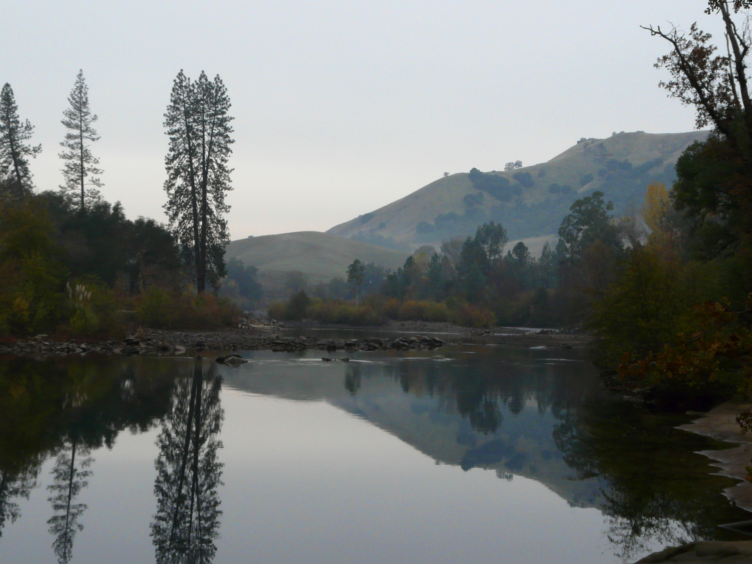
American River

The Cauldron of Frigid Waters
#rybridge wedding. Nice location.

Rafting Tunnel Chute
In Bear Country
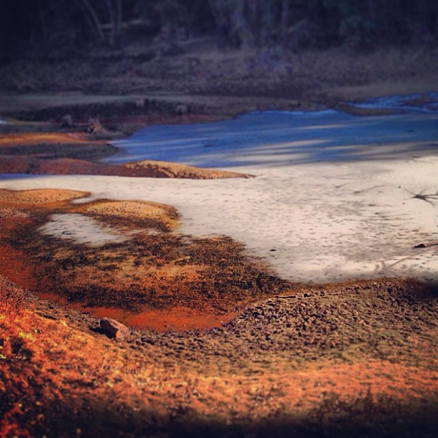
Sunken ice pond

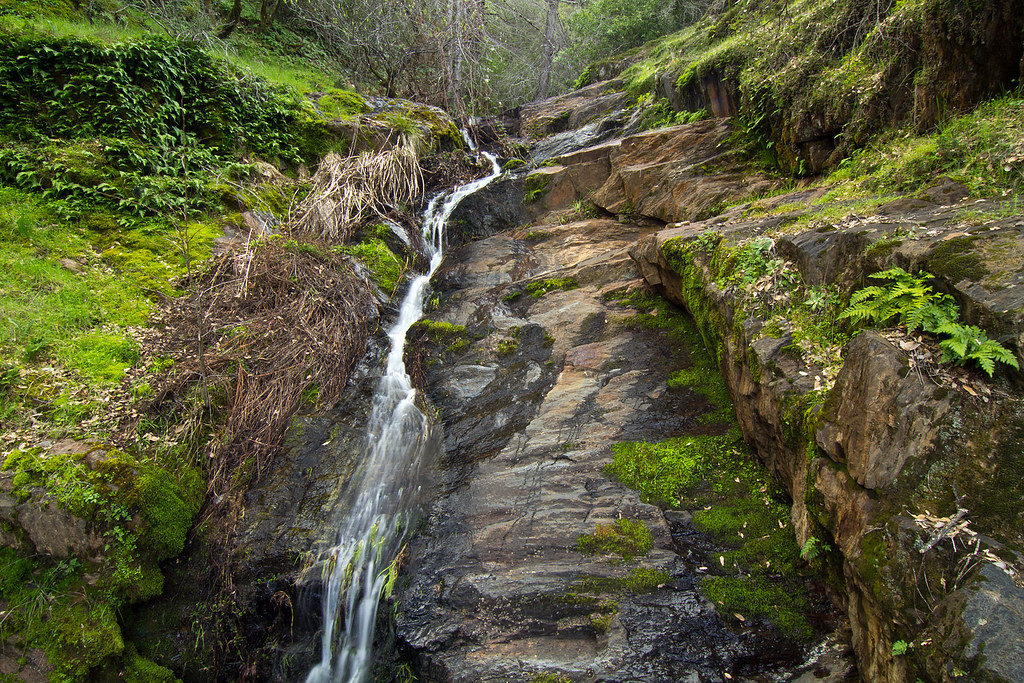
Rock Creek, El Dorado Co

Lone Boater on Oxbow Reservoir

Thunderstorms in Tahoe National Forest
Rock Creek, El Dorado Co

110911_169_Move to Texas - American River, CA
Lazy American (river)

American River Canyon at Oxbow Reservoir
Oxbow Reservoir

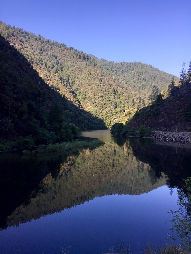
Stillness, Reflected
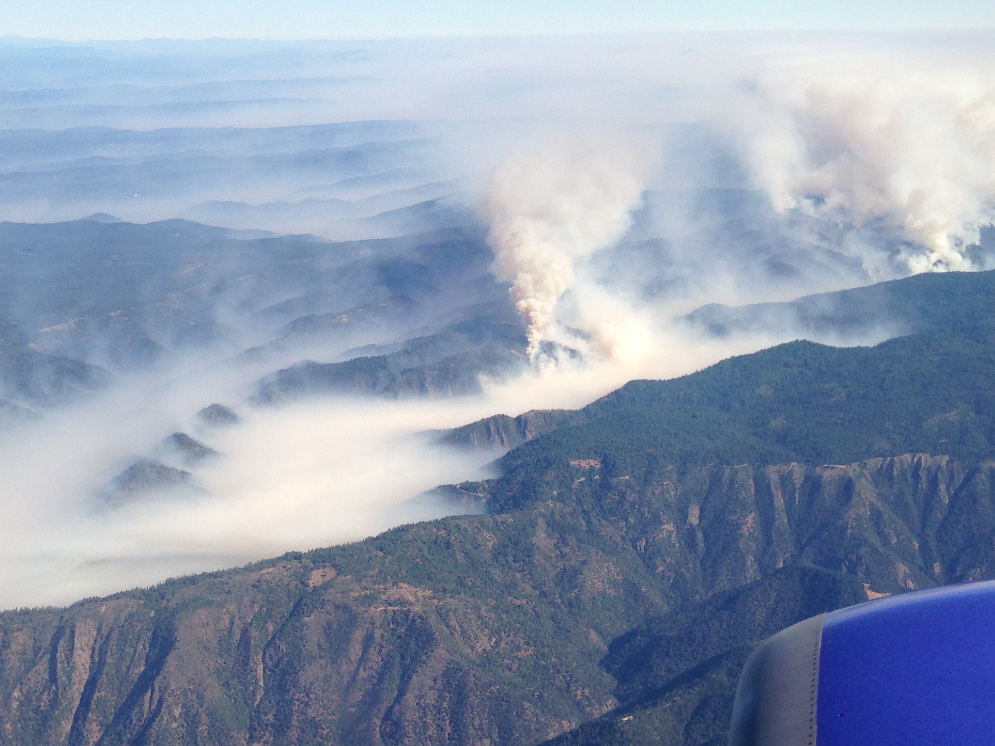
Southwest Airlines' flight from Las Vegas today flew over the American Fire. Image: Bill Roush
Topographic Map of Chestnut Hill Rd, Georgetown, CA, USA
Find elevation by address:

Places near Chestnut Hill Rd, Georgetown, CA, USA:
8251 Balderston Rd
8533 Wentworth Springs Rd
Wentworth Springs Rd, Georgetown, CA, USA
8709 Wentworth Springs Rd
Wentworth Springs Rd, Georgetown, CA, USA
3441 Chipmunk Trail
2480 Fox Run Rd
6990 Wentworth Springs Rd
3300 Rock Creek Rd
8961 Wentworth Springs Rd
6680 Chipmunk Trail
1200 Rock Creek Rd
1447 Shining Moon
9083 Patchwork Ln
9092 Wentworth Springs Rd
3181 Hanson Hollow Rd
2731 Harkness St
Main Street
2548 Tinsel Trail
Georgetown
Recent Searches:
- Elevation of 72-31 Metropolitan Ave, Middle Village, NY, USA
- Elevation of 76 Metropolitan Ave, Brooklyn, NY, USA
- Elevation of Alisal Rd, Solvang, CA, USA
- Elevation of Vista Blvd, Sparks, NV, USA
- Elevation of 15th Ave SE, St. Petersburg, FL, USA
- Elevation of Beall Road, Beall Rd, Florida, USA
- Elevation of Leguwa, Nepal
- Elevation of County Rd, Enterprise, AL, USA
- Elevation of Kolchuginsky District, Vladimir Oblast, Russia
- Elevation of Shustino, Vladimir Oblast, Russia