Elevation of Volcanoville Rd, Georgetown, CA, USA
Location: United States > California > El Dorado County > Georgetown >
Longitude: -120.78828
Latitude: 38.980168
Elevation: 936m / 3071feet
Barometric Pressure: 91KPa
Elevation Map:
Satellite Map:
Related Photos:

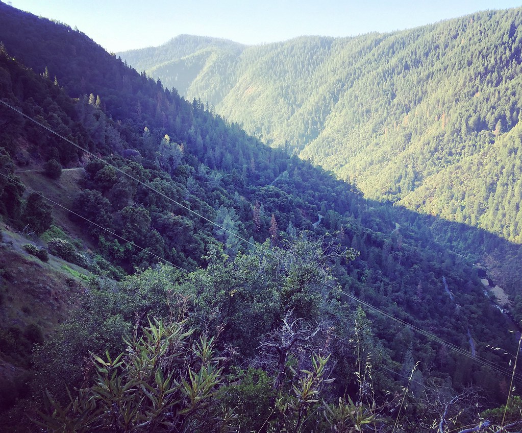
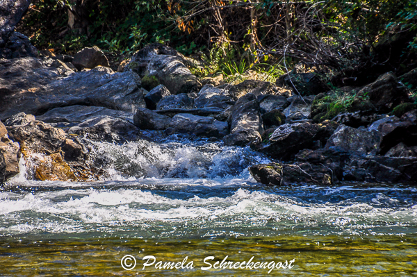
North Fork American River
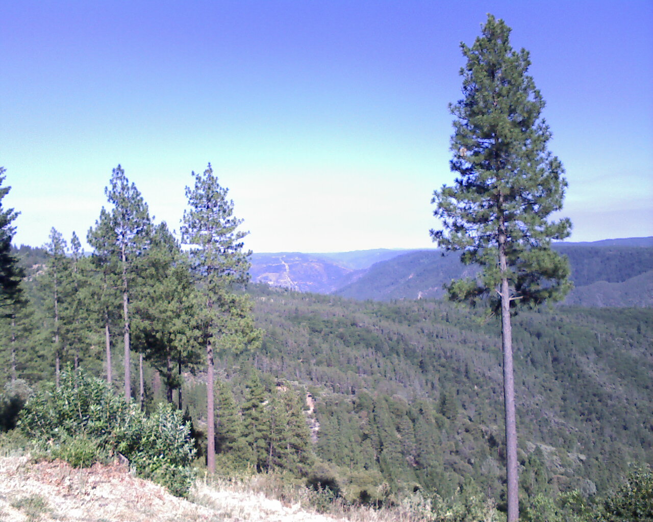
View from almost the top of Ralston Ridge
From Foresthill on my ride

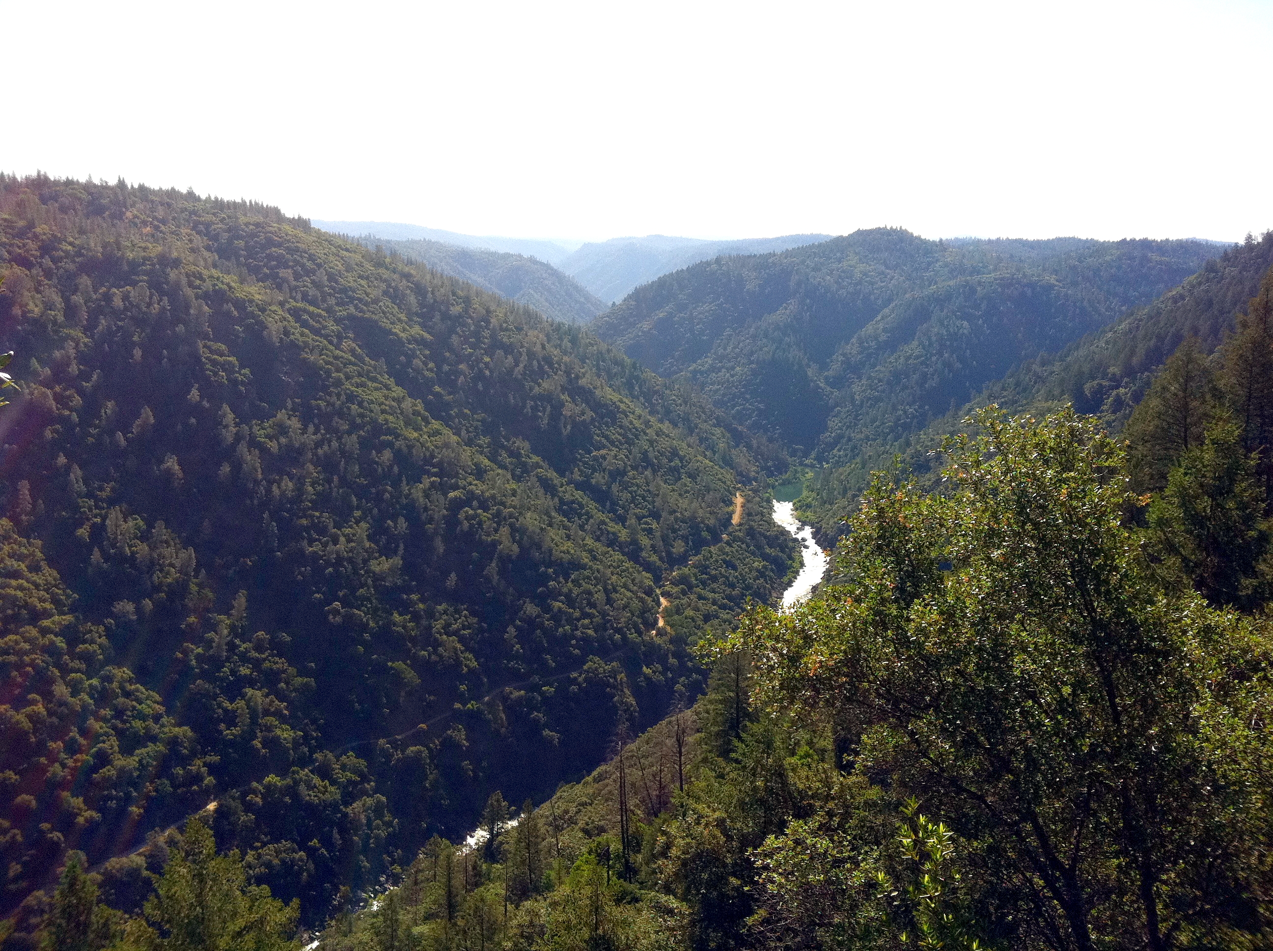
The American River Gorge – A Semi-Grand Canyon

Hand Stacked Rock Wall – Can You Find the Funny Feature?

Black-headed Grosbeak
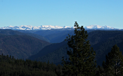
High Sierra Vista 1766
Auburn 32-mile Hike
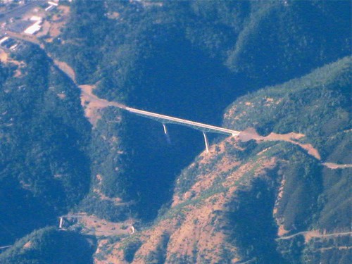
Impressive Bridge
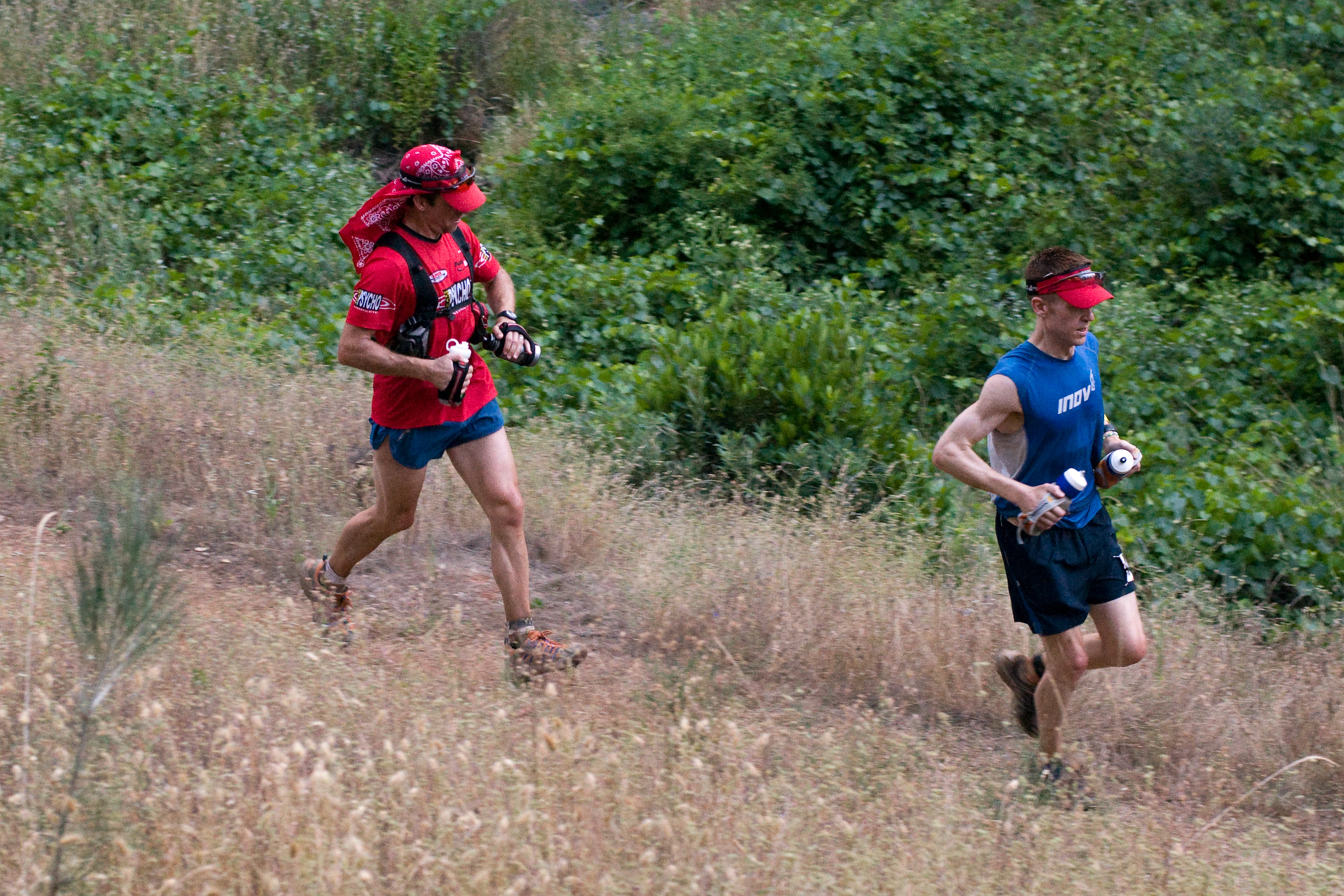
Western States runner

View from almost the top of Ralston Ridge
The view from Foresthill

View from almost the top of Ralston Ridge
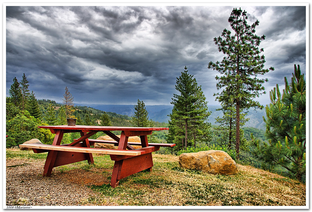
Before the Rain
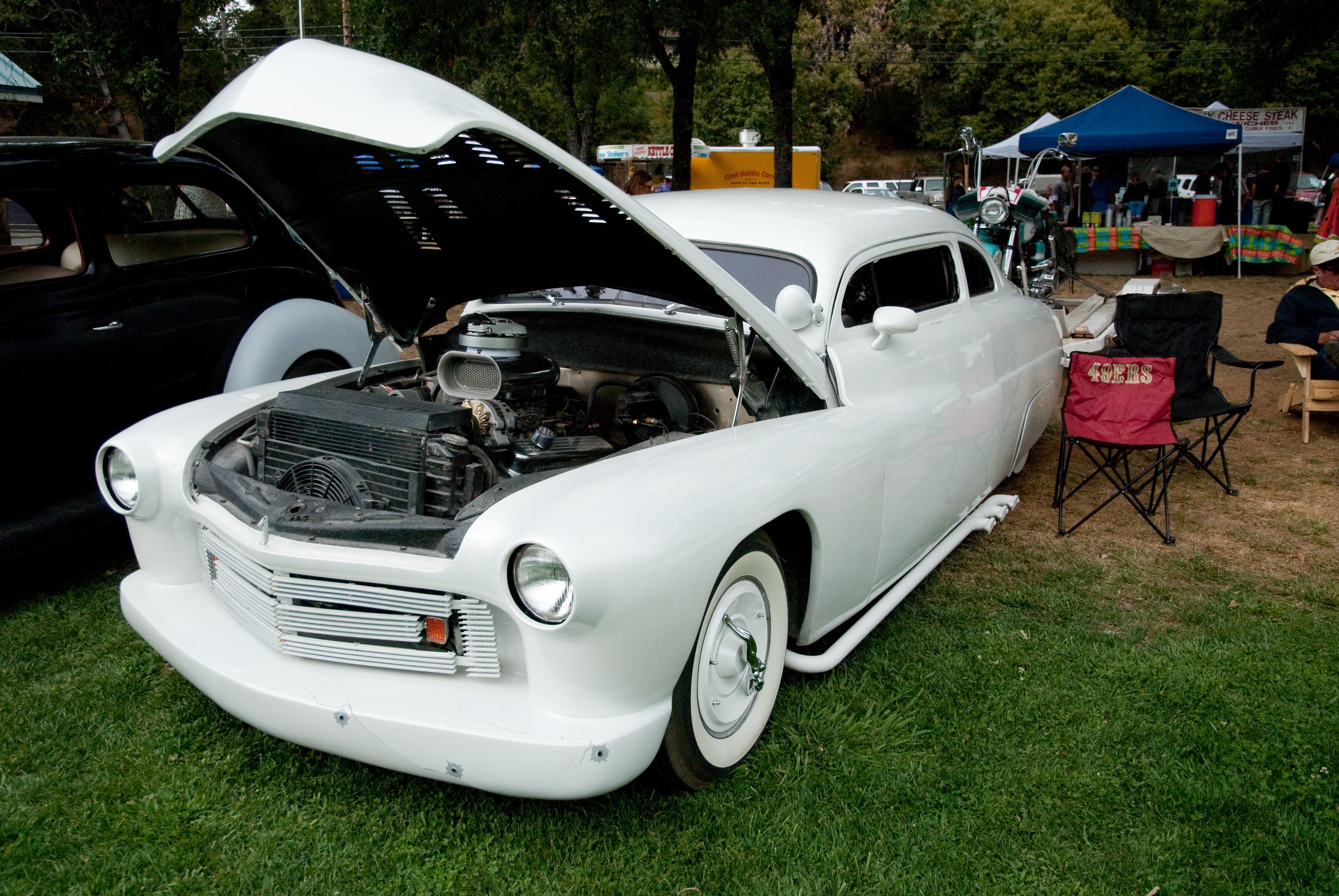
GVCarShow-6

psycho runner
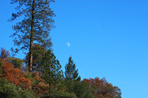
Midday Moon 1786
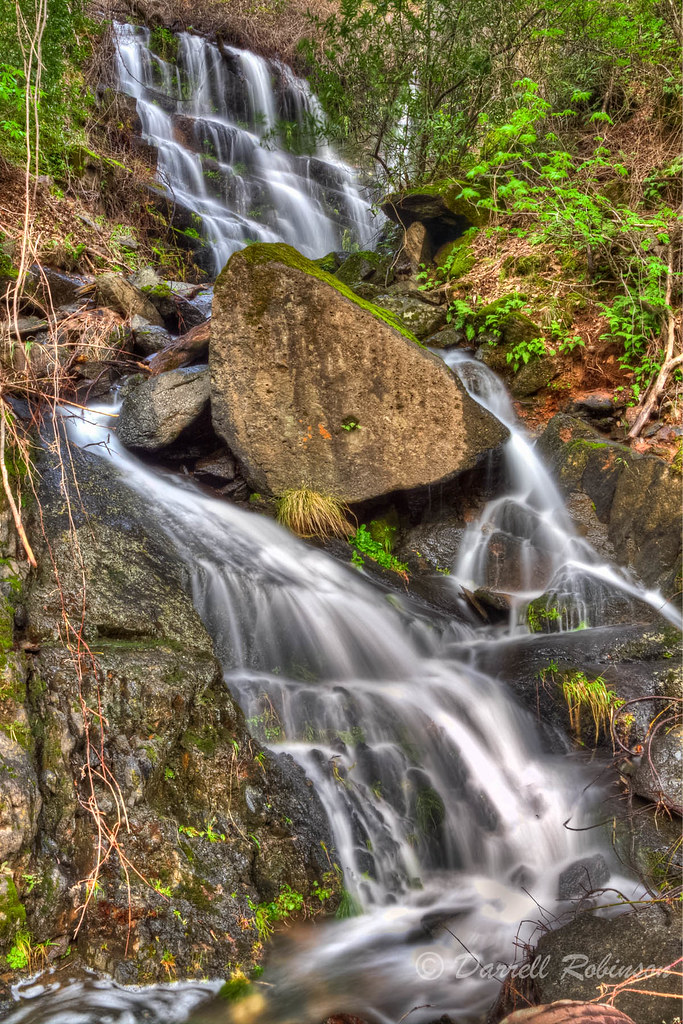
Seasonal Waterfall
In Bear Country
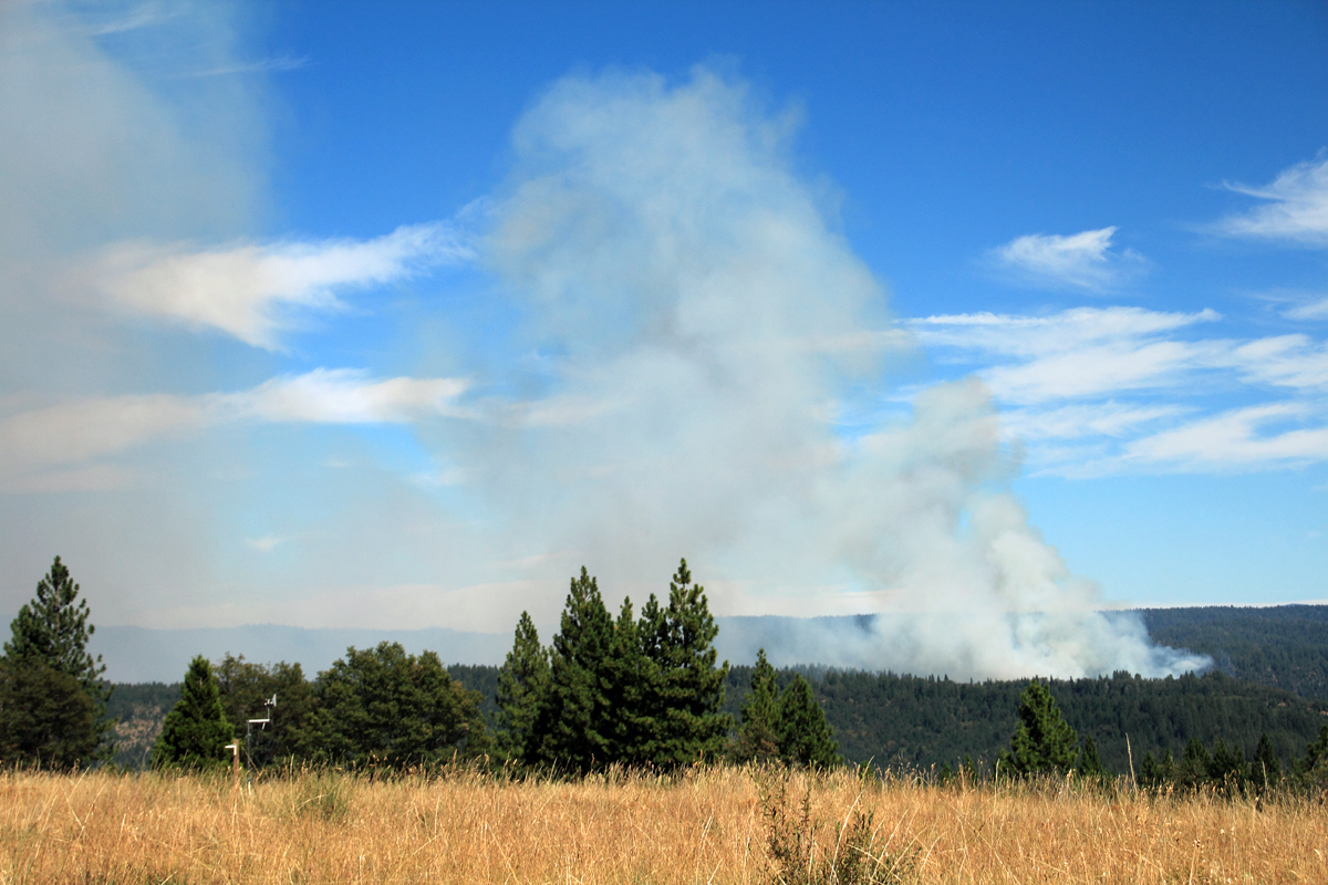
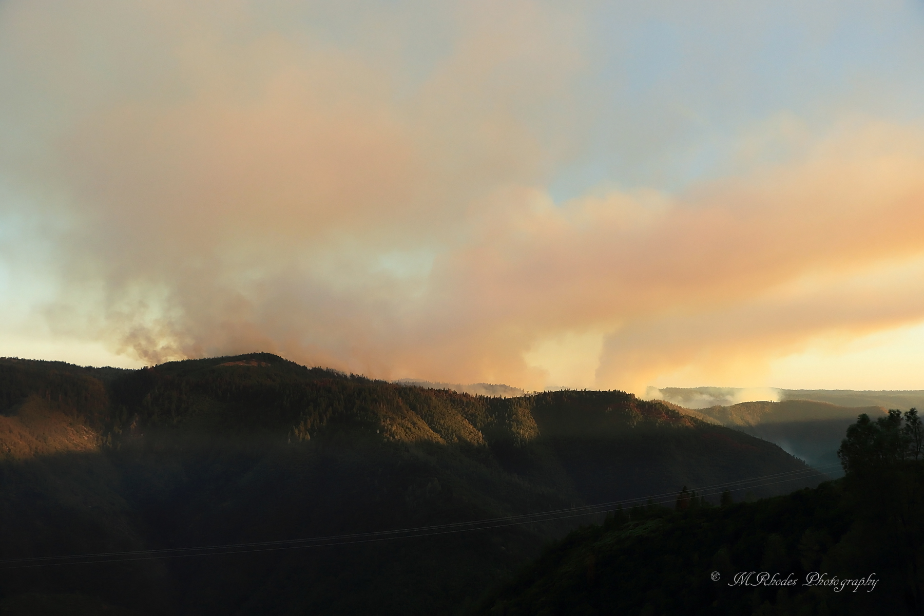
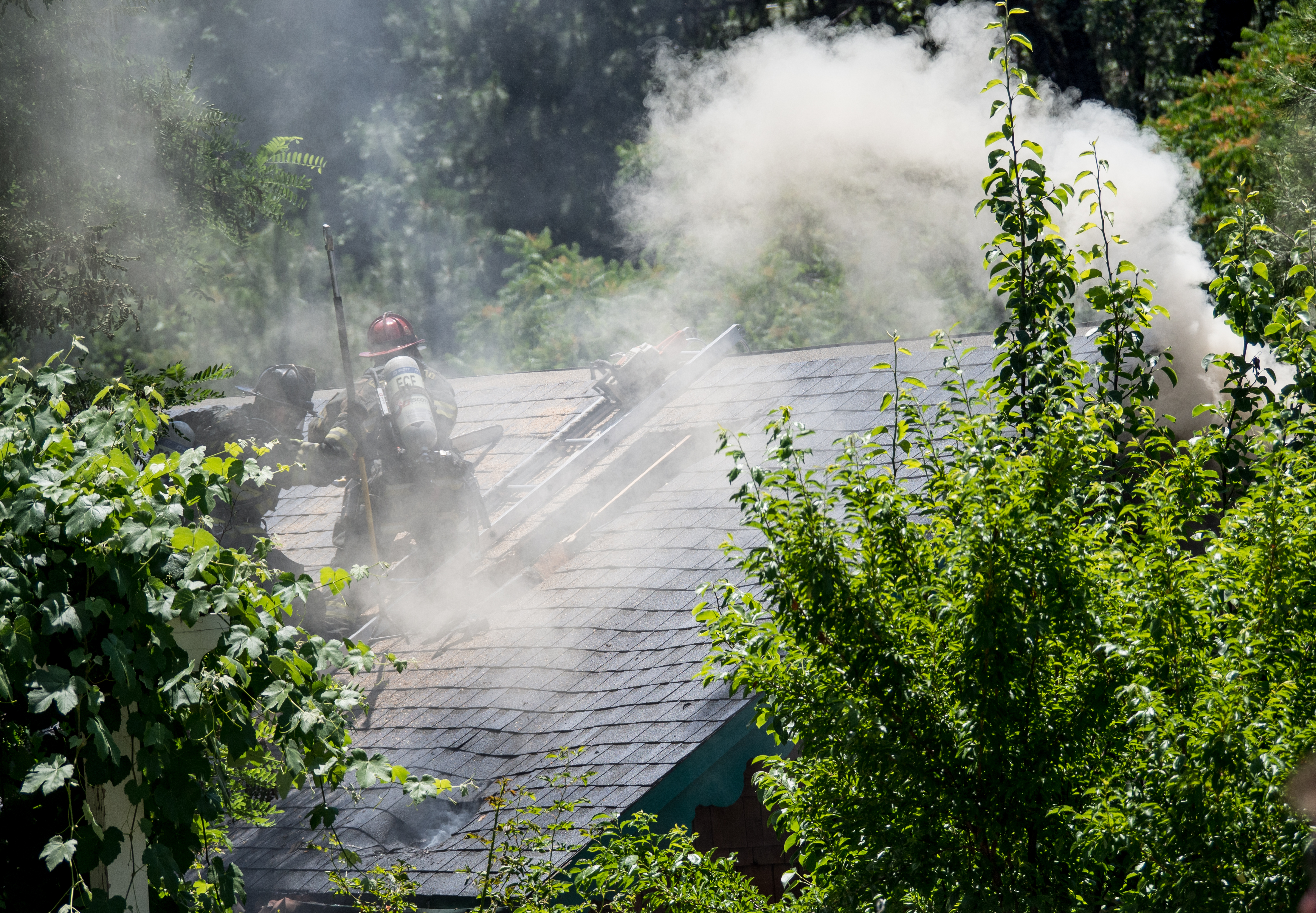
American Fire 08-16-13
#rybridge wedding. Nice location.

Rafting Tunnel Chute

Devil's Falls (Smooth)
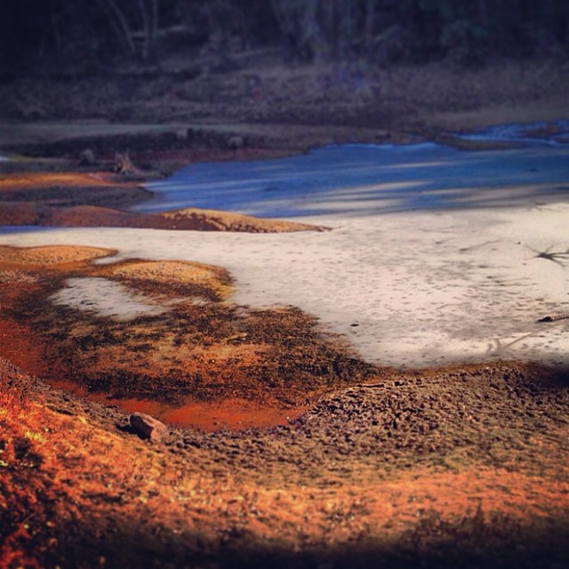
Sunken ice pond

Devil's Falls (Grunge)

Yankee Jims Bridge - North Fork American River (i)
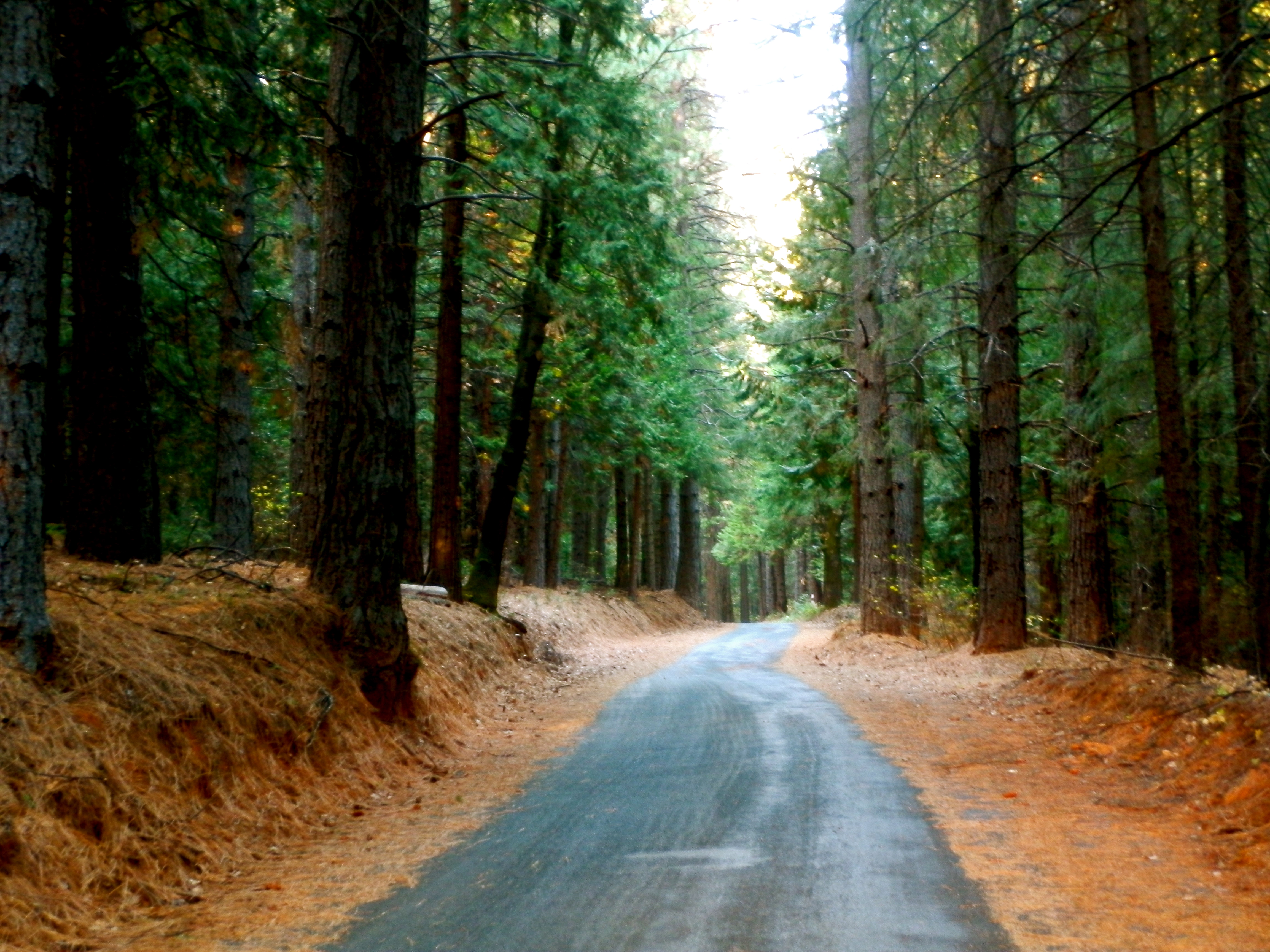
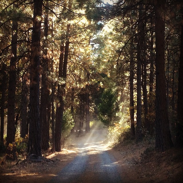
Iowa Hill Road, Calif.

The Cauldron of Frigid Waters
Ruck-A-Chucky

0012580-R1-010-3A

Yankee Jim's Waterfall
Ruck-A-Chucky
untitled047-27.jpg

Yankee Jim's Waterfall
Topographic Map of Volcanoville Rd, Georgetown, CA, USA
Find elevation by address:

Places near Volcanoville Rd, Georgetown, CA, USA:
Volcanoville
1395 Paymaster Mine Rd
1340 Paymaster Mine Rd
25050 Foresthill Rd
24745 Harrison St
Shotgun Lane
Main Street
Foresthill
2480 Fox Run Rd
24350 Racetrack St
24080 Mosquito Ridge Rd
8709 Wentworth Springs Rd
8533 Wentworth Springs Rd
Wentworth Springs Rd, Georgetown, CA, USA
Wentworth Springs Rd, Georgetown, CA, USA
Foresthill Road
23140 Foresthill Rd
8251 Balderston Rd
8961 Wentworth Springs Rd
5860 Timberland Dr
Recent Searches:
- Elevation of Elwyn Dr, Roanoke Rapids, NC, USA
- Elevation of Congressional Dr, Stevensville, MD, USA
- Elevation of Bellview Rd, McLean, VA, USA
- Elevation of Stage Island Rd, Chatham, MA, USA
- Elevation of Shibuya Scramble Crossing, 21 Udagawacho, Shibuya City, Tokyo -, Japan
- Elevation of Jadagoniai, Kaunas District Municipality, Lithuania
- Elevation of Pagonija rock, Kranto 7-oji g. 8"N, Kaunas, Lithuania
- Elevation of Co Rd 87, Jamestown, CO, USA
- Elevation of Tenjo, Cundinamarca, Colombia
- Elevation of Côte-des-Neiges, Montreal, QC H4A 3J6, Canada